Santa Fe Area
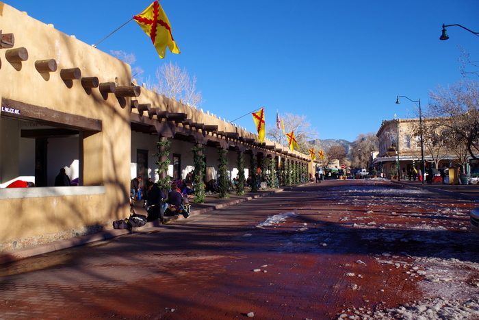
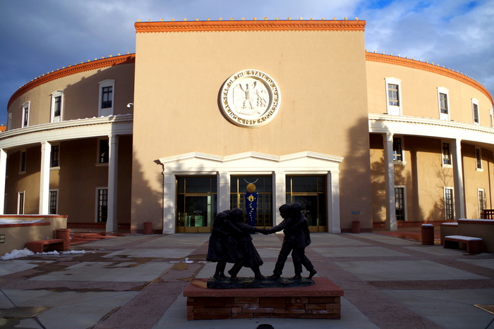
Hey Guys! We spent one week in the Santa Fe area trying to hit everything we missed last time and revisit a few of our favorites.
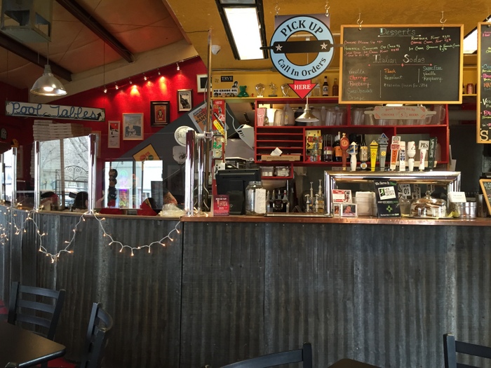
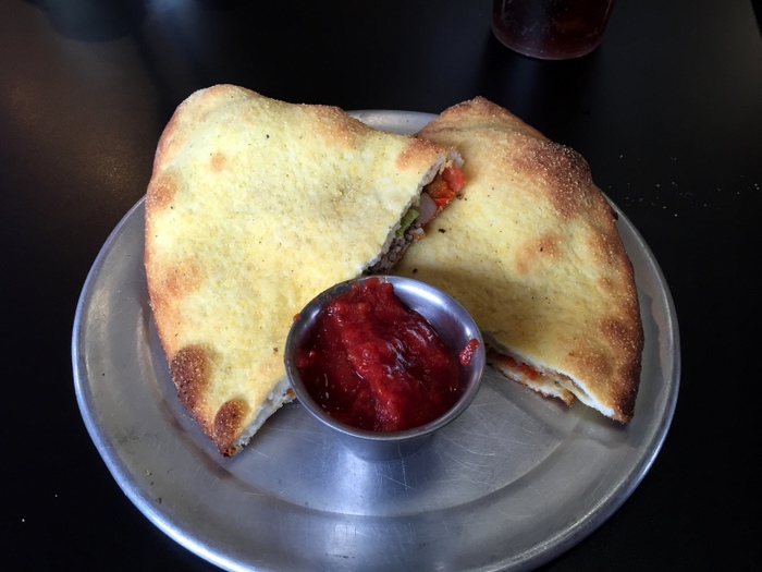
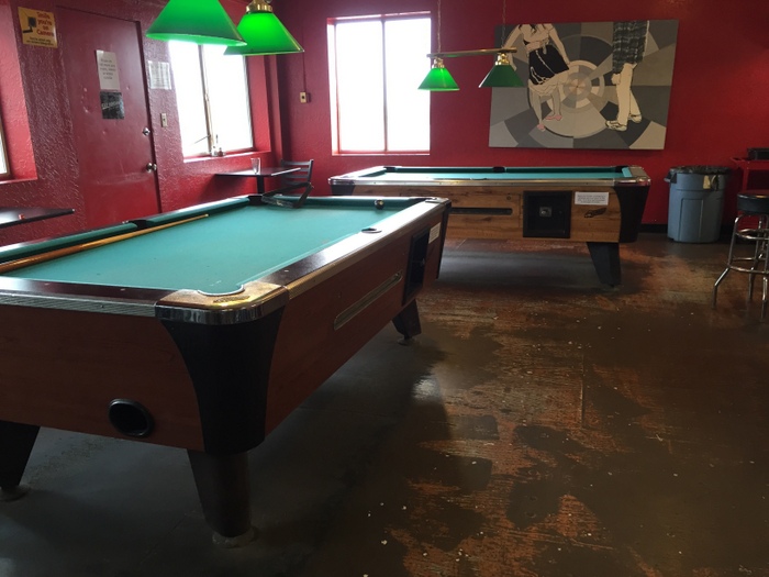
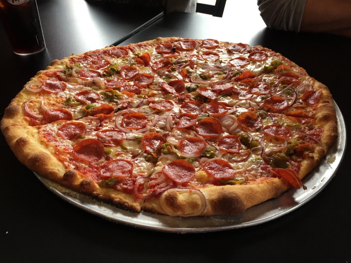
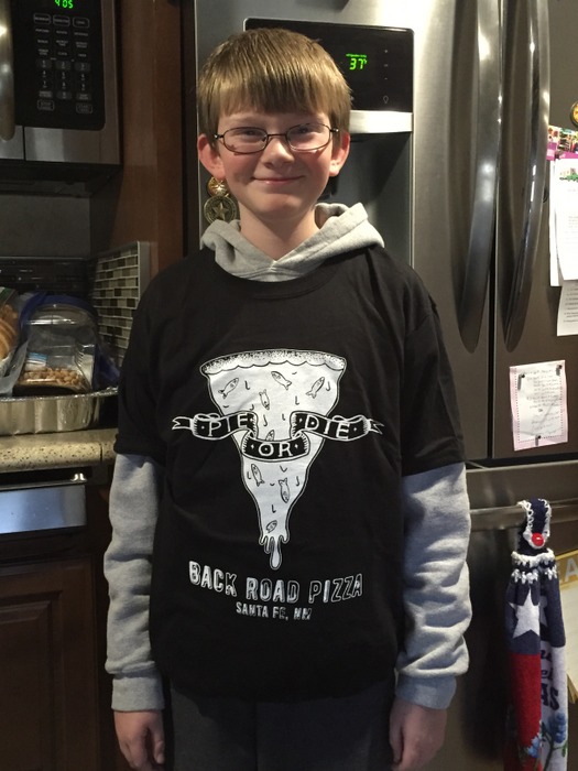
The first thing we did was hit one of our very favorite pizza places. Back Road Pizza. We’ve been talking about this pizza since we discovered it two years ago! The New Mexican pizza is probably our all time favorite.
We also managed to hit three National Park Units! It’s amazing how many NPS Units are in this area!
The Pecos National Historical Park preserves two Pecos Pueblo ruins along with old church ruins. Most of the pueblo ruins looked like the pic above. Not much was left. Around 2/3 of the South Pueblo ruins remain in an unexcavated mound. I wanted to include a picture of this sign to give y’all an idea of what one of these pueblos used to look like. Pecos, at its peak, was a trading place for the Plains Apaches and would have been home to around 2,000 people.
We saw several Kivas. I think I saw that there are 20 kivas at the Pecos Pueblo. You can see the remains of one in the pic above. (top right picture) During the Fall of 1540, the Pecos’ lives would be changed forever when a Spanish expedition claimed the land for their king and demanded the Pecos become Christians. The first mission built was finished in 1625. It’s estimated that the builders used around 300,000 forty-pound adobe bricks to complete the 1625 mission. This first mission functioned for 55 years but burned during a rebellion in 1680. The Pecos people tied a certain number of knots in ropes and handed them out to everyone. Each day they would untie one knot. When the last knot was untied, the rebellion started. The second mission was finished in 1717. By 1821 Pecos was almost a ghost town and in 1838 the last inhabitants left the pueblo to join their relatives at the Jemez Pueblo eighty miles away.
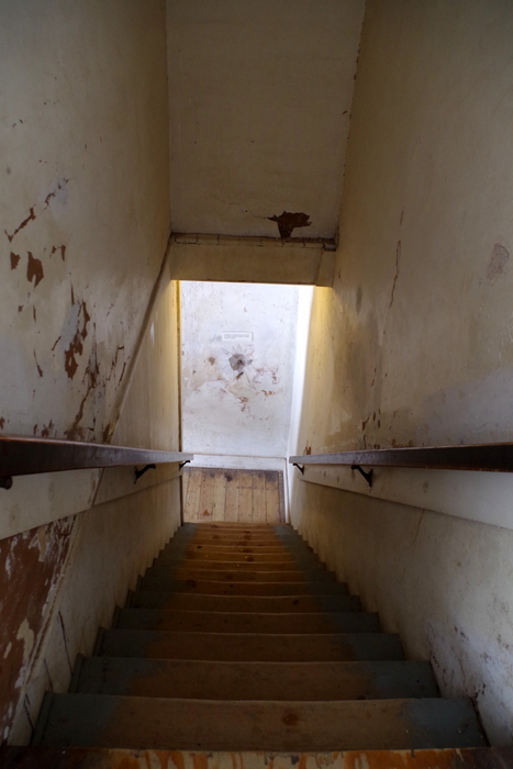
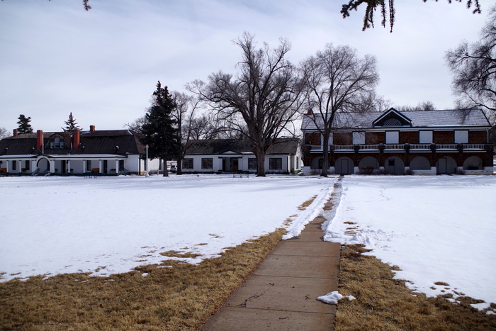
Fort Union National Monument protects what’s left of the three forts once built here. When the US acquired the New Mexico Territory at the end of the Mexican-American War, Fort Union was built to guard and aid in the American expansion into the Southwest.
Fort Union was positioned where the Santa Fe Trail’s two main branches met. Some years over 3,000 wagons made a trip up or down the Santa Fe Trail’s 900 miles. For many, Fort Union was the end of a long 800 mile journey through the Great Plains under constant threat of attack. At Fort Union there was someone on watch at all hours for incoming riders/wagon trains on the trail. When riders or wagon trains were spotted Fort riders were sent out to get everything organized and into a single file line by the time they reached the Fort. So, what was a trail wide enough that it would allow up to four wagons to ride side by side ended up being a single file trail closer to Fort Union. Can you imagine having that job? Telling riders at the end of an 800 mile wagon ride that they need to slow down and get in single file line? I imagine they were met with some grumpy people.
Fort Union protected the Santa Fe trail and it’s travelers, aided in protecting against Native American attacks, and was a major supplier for the US Army. There were three forts built here from 1851-1891 each fort getting bigger and stronger than the one before it. What once was the largest fort west of the Mississippi River is falling into ruins today. The NPS isn’t allowed to do anything but try to preserve what’s left. They’re trying their hardest to preserve this part of our history.
The grass has grown up over the trail. If there wasn’t a sign, you’d never know you were looking at one of the most important trials in US history. Can you imagine setting off on a 900 mile wagon journey across the Great Plains? Wagons could only cross in the summer or early fall when there was enough grass to feed the mules and oxen that pulled the wagons and they would only make around 8 to 10 miles a day. I’m not sure I’m cut out for that kind of travel. I feel like we’re crawling when we’re going 55 mph down the highway in our home-on-wheels!
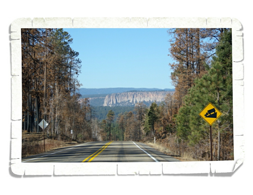
The last NPS Unit we made it to in our week in the Santa Fe area was the Valles Caldera National Preserve. Valle Grande, in the picture above, was formed around one million years ago when a series of huge volcanic eruptions spewed a volume of material 500 times greater than the May 1980 eruption of Mt. St. Helens. There’s a visitor center here and some trails, but we didn’t get to do much because it was cold and icy the day we went. I’d love to go back during the spring when it’s all green!
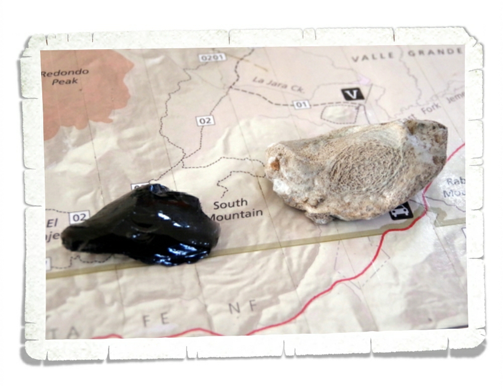
Valles Caldera looks like a big bear paw on a map. Can you see it? (top picture) We heard some of the Natives in the area call it that. This area is gorgeous even with the forest healing from a big fire a few years back.
One of the neat things about this NPS Unit is due to all of the volcanic activity. There are tons of obsidian laying around! What you might not know (we didn’t) is that when obsidian reaches a certain temperature it turns into poofy obsidian. A what obsidian? Poofy. In the picture above, you can see a normal shiny, black piece of obsidian. Next to it is the poofy obsidian. Poofy obsidian is soooo light and airy! It was pretty neat to see and feel the difference. If you step on it, it poofs. If you hold it too tight, it poofs. Due to the large fire there are tons of poofy obsidian in the park now. If you visit this park, please don’t poof their obsidian.
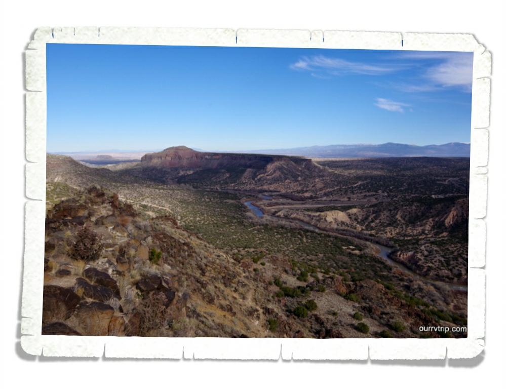
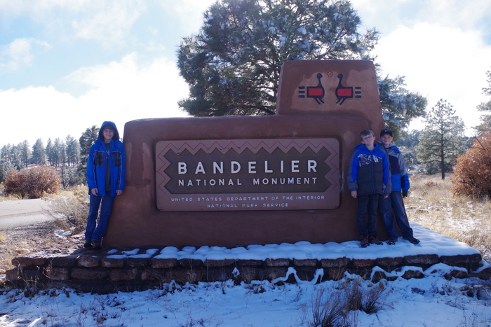
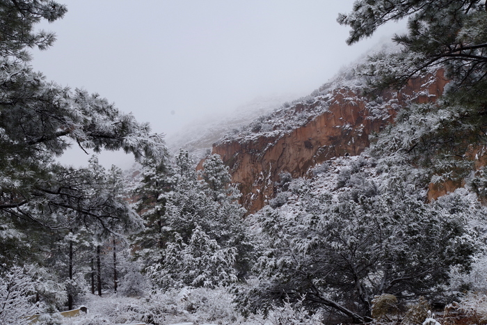
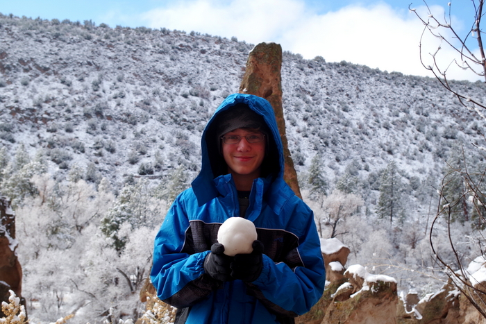
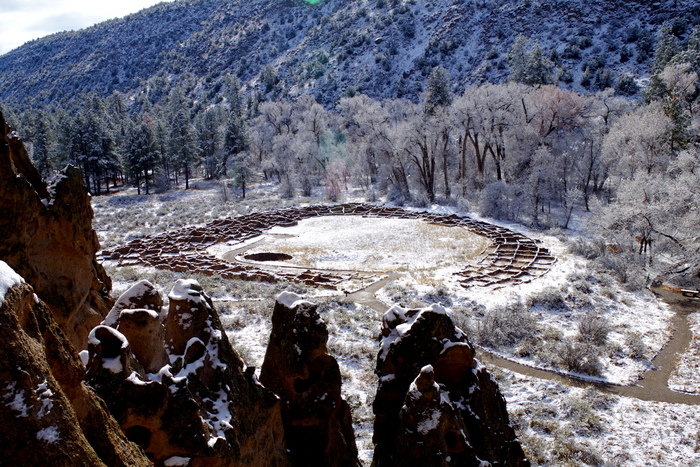
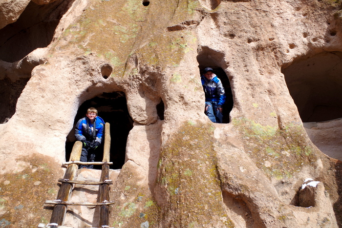
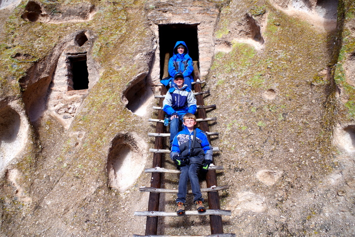
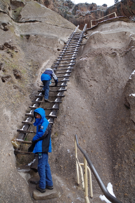
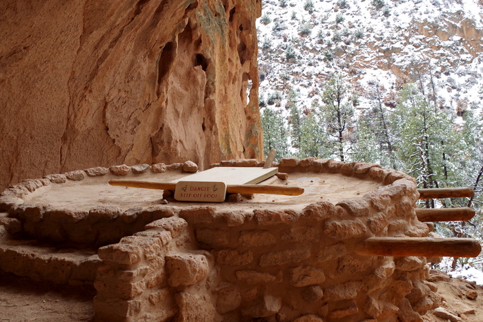
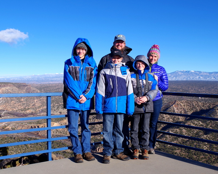
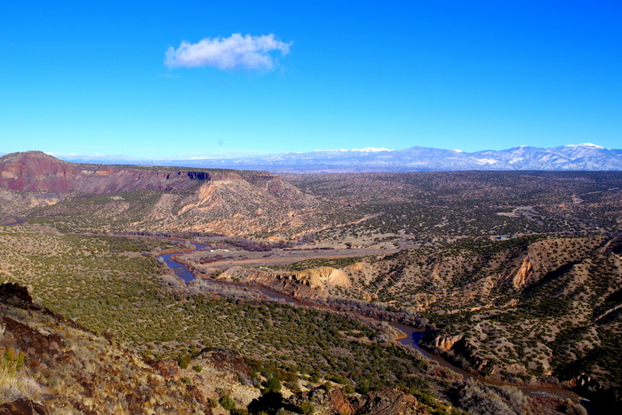
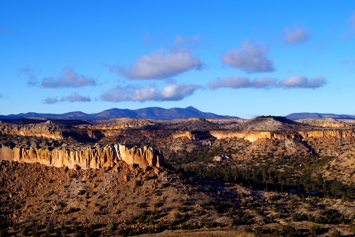
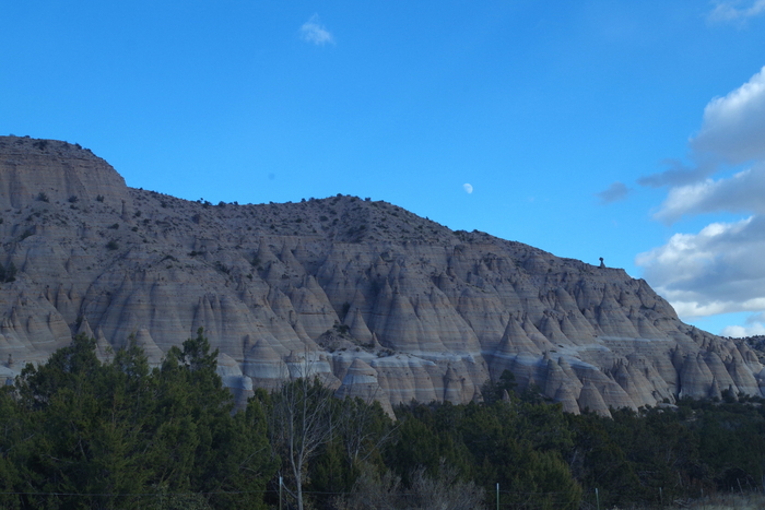
We also stopped back by Bandelier National Monument to revisit it in hopes of seeing it without snow, but the main trail was closed due to maintenance…so, we hopped back in the car and drove on. The views in this area are pretty stellar!
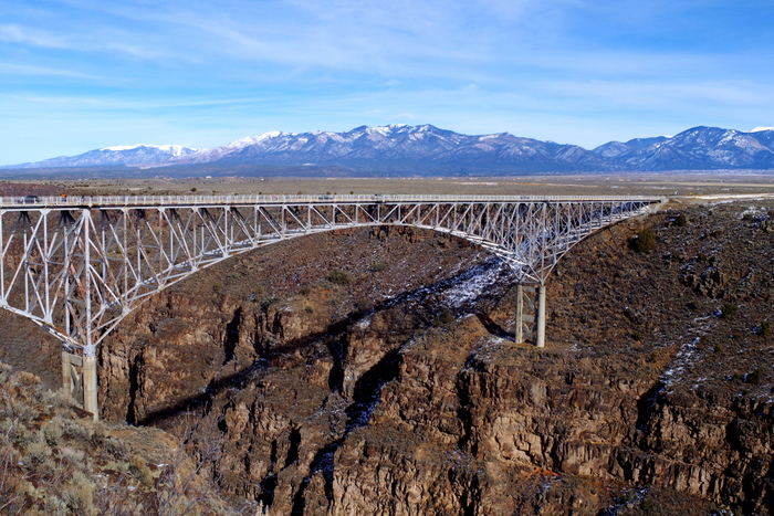
New Mexico is one of our favorite states. The views, the hikes, the NPS Units, the foodies, and the vibe all speak to us. There are so many postcard worthy vistas in this gorgeous state!
I imagine we will go back to New Mexico again and again throughout the years!
See y’all down the road!
#grandwesternloop


