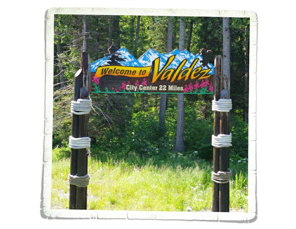
Day Trip To Homer
While we were in the Seward area we decided to take a day trip over to Homer. We had no plans of actually staying over on that side of the peninsula, but we did want to see it.
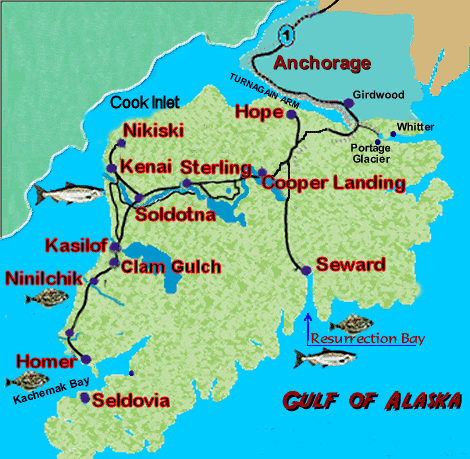
I thought a map might help you visualize where we went. We started in Seward and went all the way around to Homer. It doesn’t really look that far, does it? We left around eight in the morning and got back just after midnight. It was a very long day, but we feel like it was worth the drive!
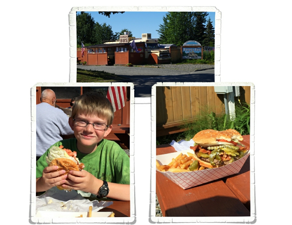
The first city we stopped in was Kenai. And, the first thing we did was get lunch. We were starving! We asked at the Visitor Center where a good place to eat would be and was pointed over to the Burger Bus which was within walking distance…so that was a plus because we were wanting to stretch our legs after the long drive. The portions were big and the food was hot! It was better than your typical fast food burger…you could tell the meat had been frozen…but it was a decent burger.
Once we were certain no one would wilt away from hunger, we set off to see Kenai and head toward Homer.
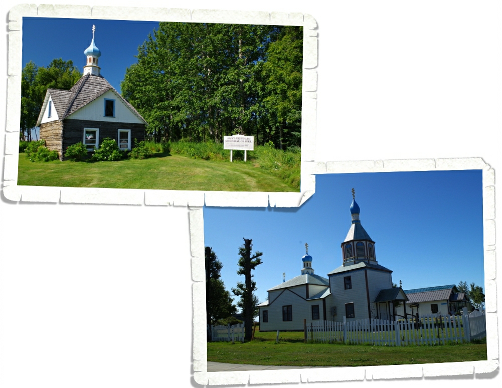
Kenai was the first European settlement on mainland Alaska when it was colonized by Russian fur traders. You can see the Russian influence in some of the buildings. The church and the chapel above were the prettiest and best preserved. You can still see quite a bit of what was left over from the Russians in certain parts of Alaska.
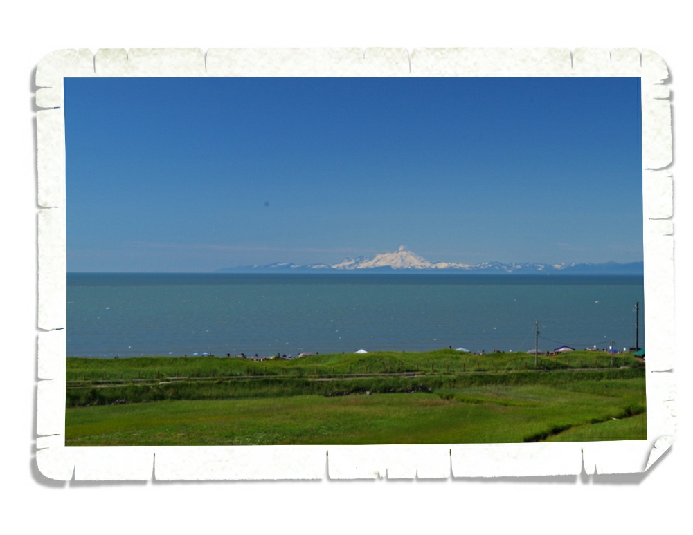
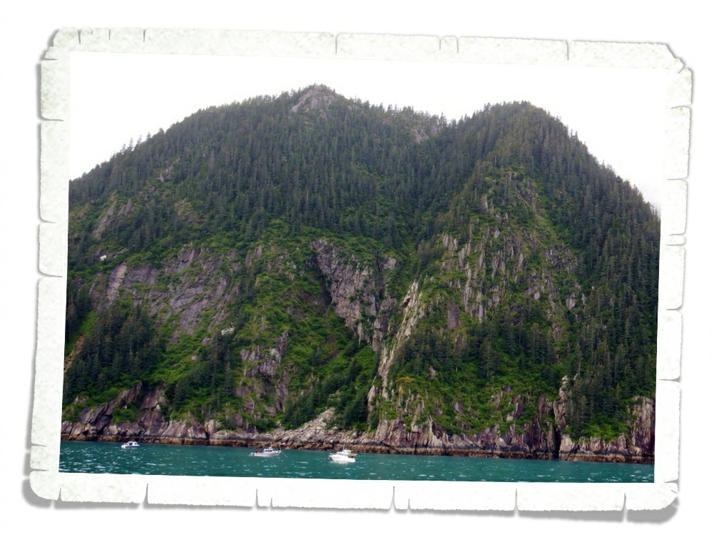
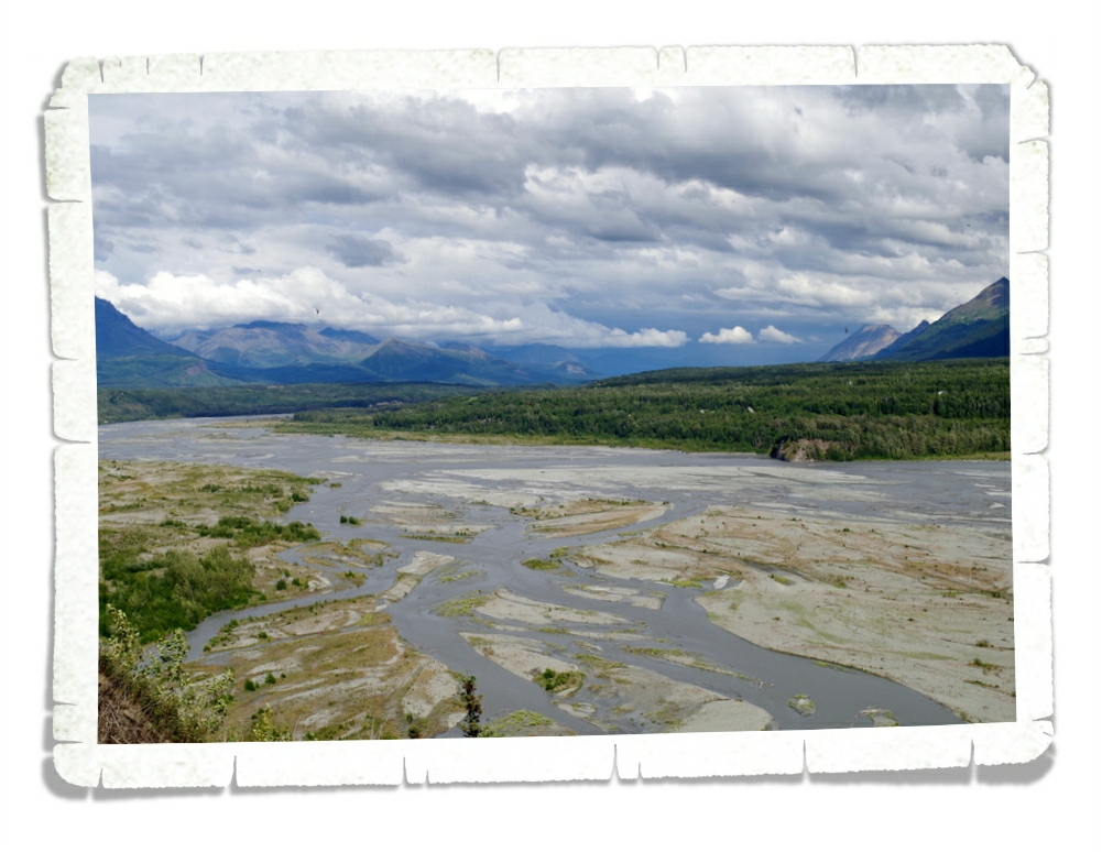
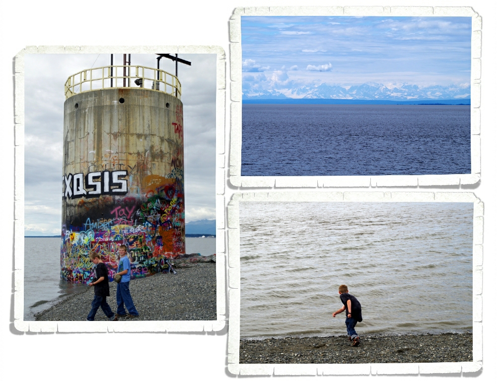
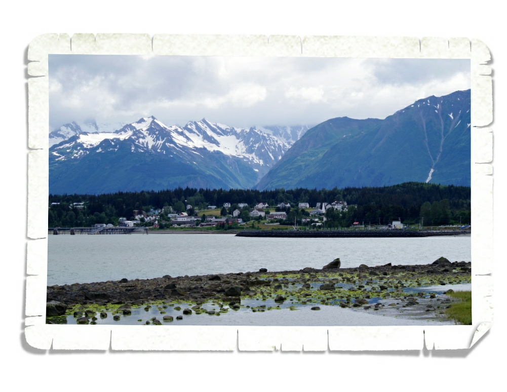
Welcome to the Cook Inlet. That big peak you see in the photo above is a volcano. I didn’t know that there are still a string of active volcanoes just off the Alaskan coast.
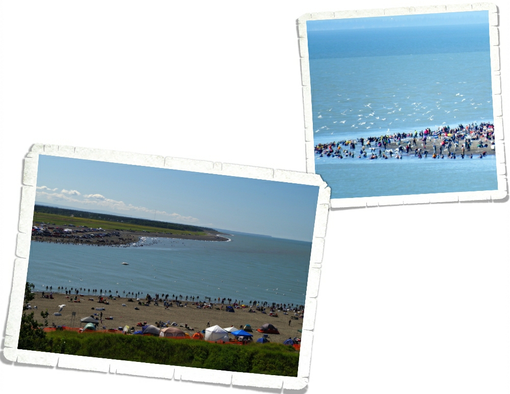
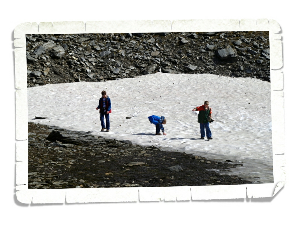
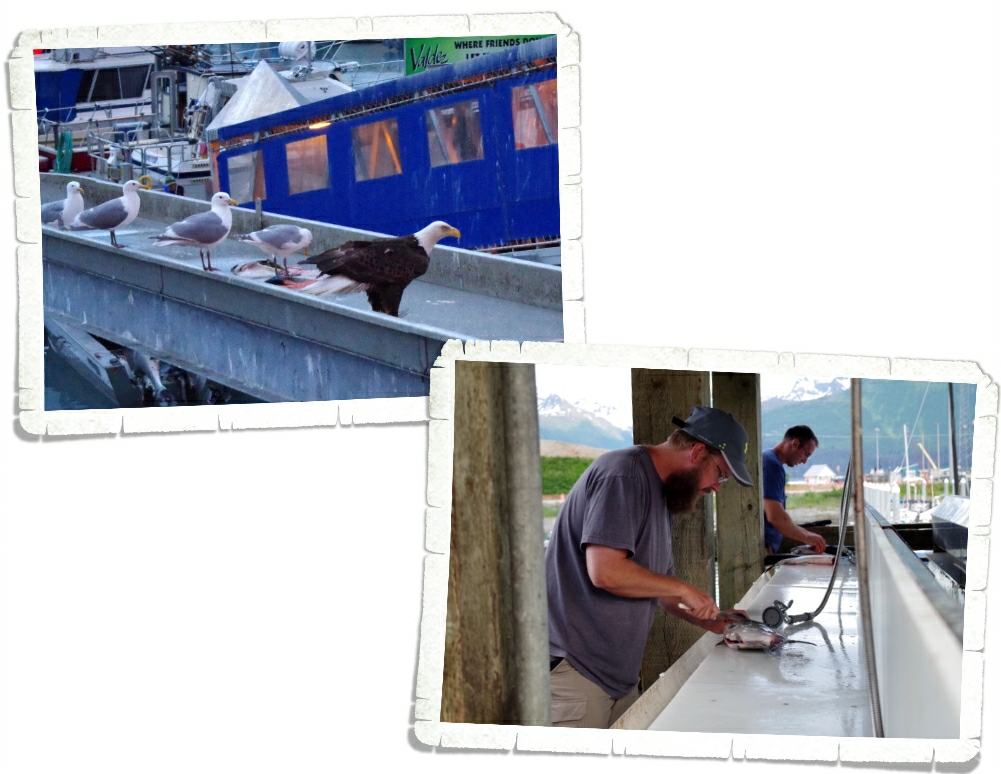
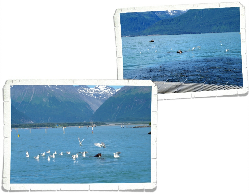
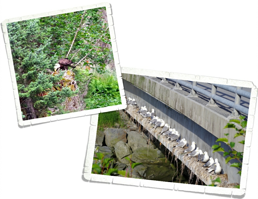
The entire beach around the Cook Inlet was covered with fishermen. Alaskan’s take their fishing seriously and the birds are always near to try and steal a catch. It was kind of crazy the number of fishermen that were lined up on that beach! I would be afraid I’d catch someone’s hook as they were wildly casting…No thank you.
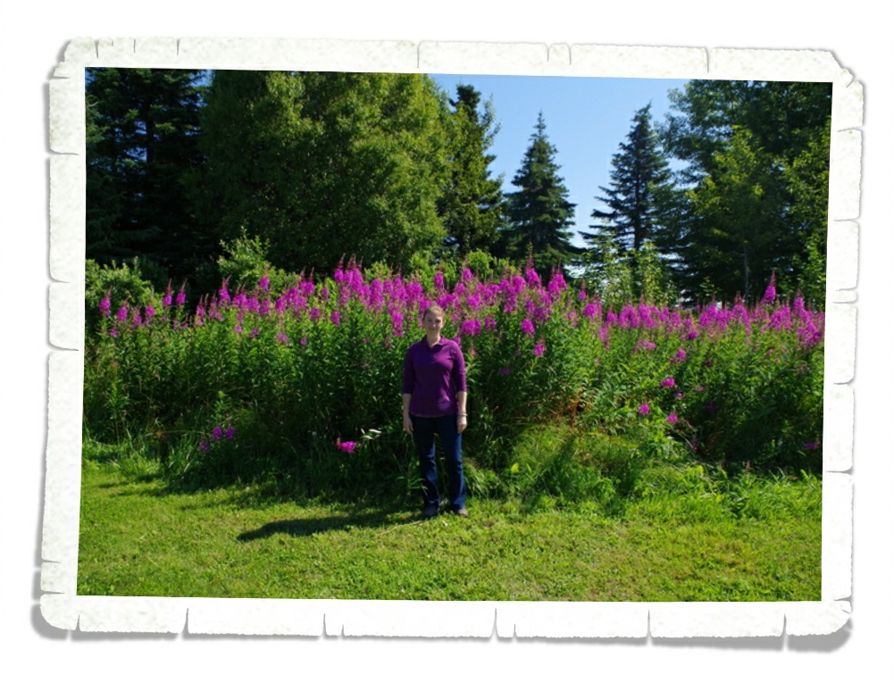
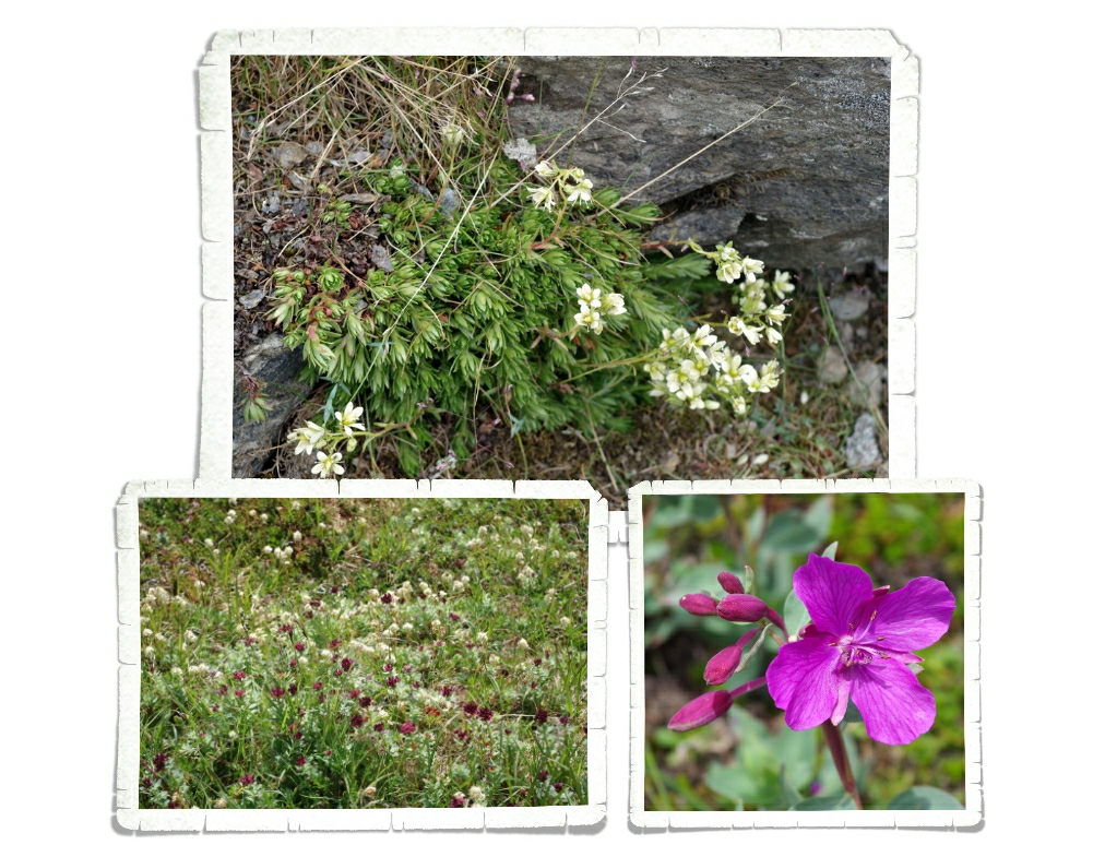
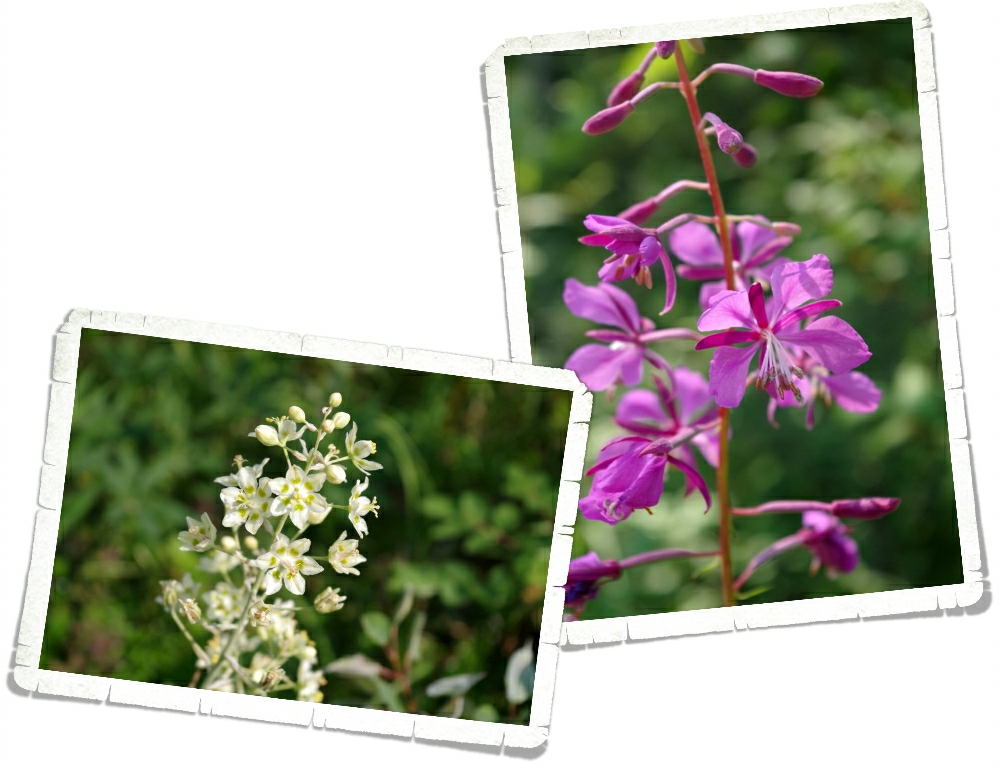
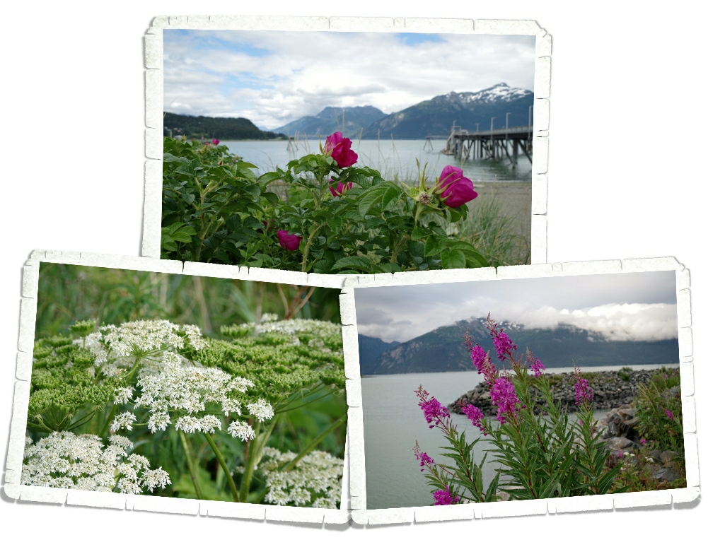
We found this huge patch of fireweed in a park in Kenai. I wanted to show y’all how big this stuff can get!! I love this plant! And the fact that it’s my favorite color doesn’t hurt. Ha!
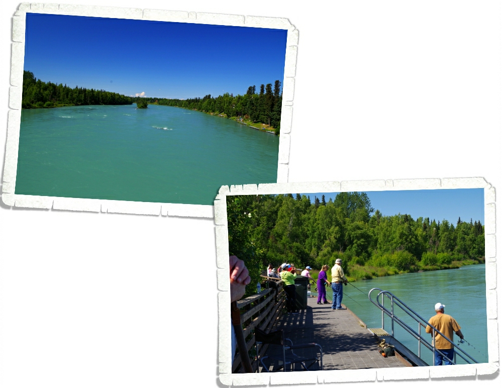
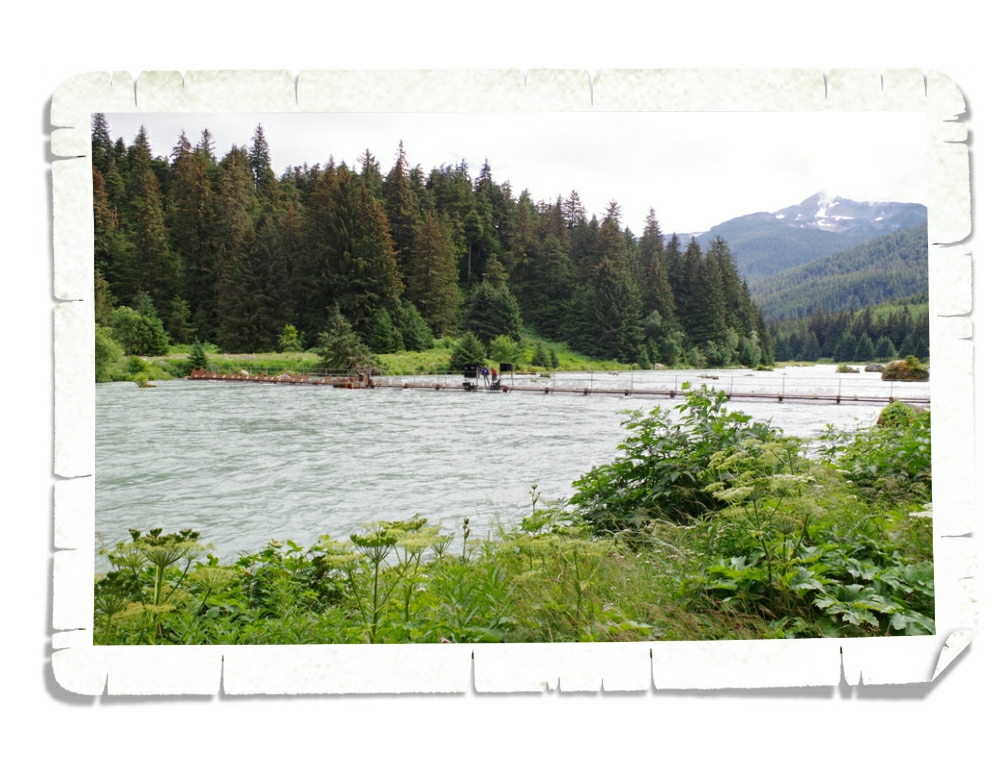
From Kenai we went back to Soldotna. Alaskan’s are serious about their fishing, but they’re also very serious about preserving their land. All around Soldotna and several of the other towns we passed through, there are fishwalks on the banks. The fishwalks are to ensure that the river banks don’t get ruined which would cause the fish to stop going there to spawn. You can see a fishwalk in the picture above. Notice there are even stairs that lead right down into the river. The fishwalk above is right behind the Soldotna Visitor Center. That’s the Kenai River you can see in the photos! It doesn’t really show up that great in the photo, but the water is turquoise! If you look closely, you’ll see all of the fishing docks along the right side of the river. Every available space was crammed with fishermen trying to get their daily limit. A lot of Alaskans live the subsistence lifestyle where they spend the whole summer preserving veggies, catching fish and hunting everything they can so they can financially make it through the winter.
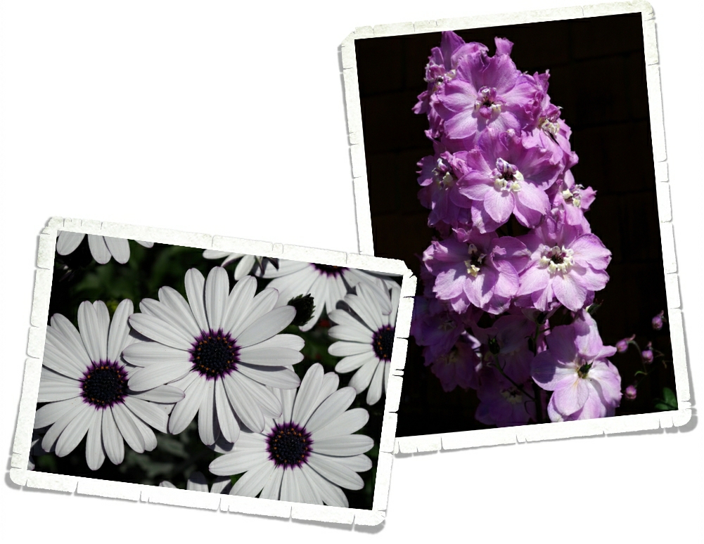
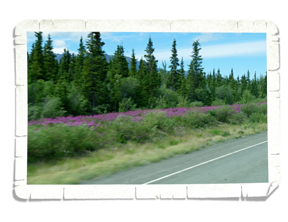
And, of course, there were amazing flowers everywhere! Tell me I’m not the only one who takes pictures of flowers! Alaska is overflowing with amazing flowers. All of that sunlight does wonderful things for plants!
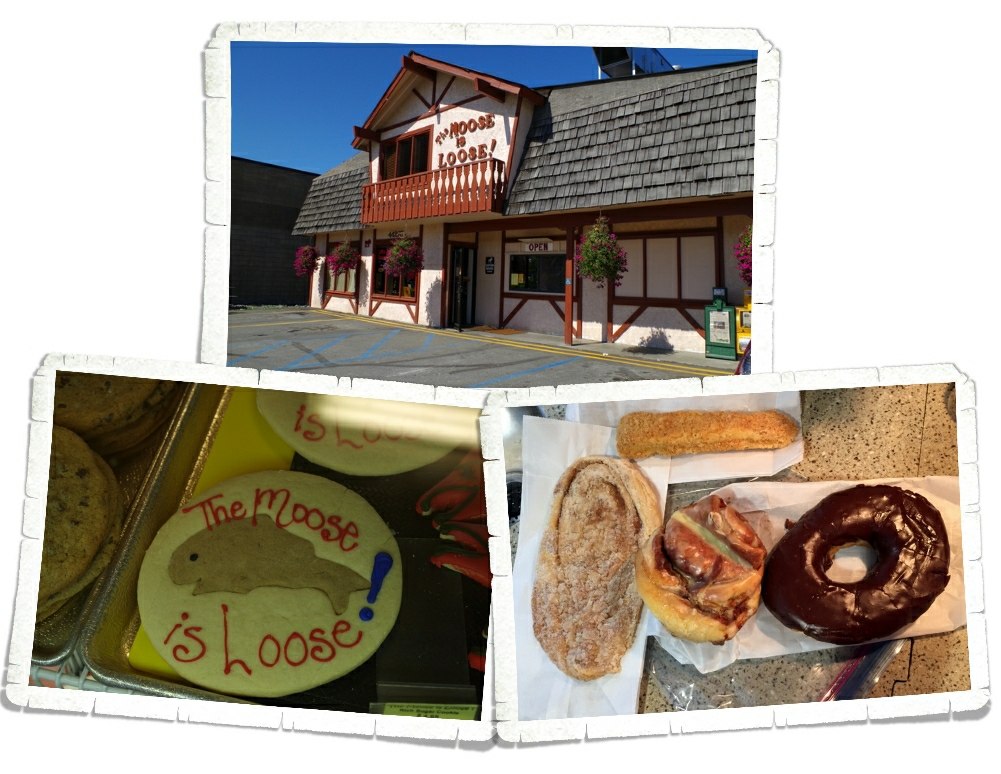
Right in the middle of Soldotna is one of the busiest places we saw. The Moose is Loose Bakery! We stopped in and got a few goodies to have the next morning! They were tasty…and big! The chocolate covered donut you see there…it was the size of a plate.
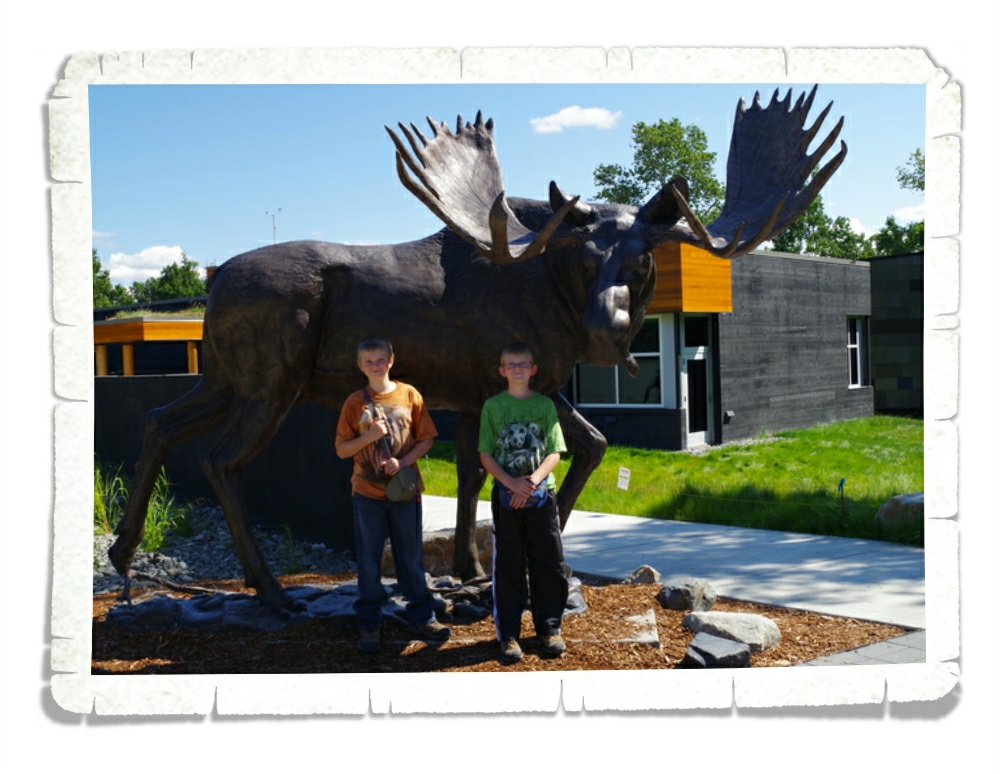
On our way out of Soldotna we stopped by the Kenai National Wildlife Refuge Headquarters. Above, you’ll see a life size statue of a moose. They get big! Everything in Alaska is big!! But the moose…wow! And moose are dangerous! They will run you down and stomp all over you if they feel the least bit threatened.
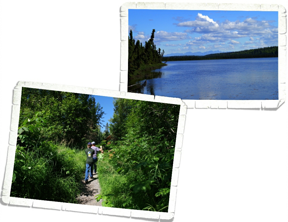
Nicholas and Alex worked for their first Fish & Game badge while we were at the National Wildlife Refuge Headquarters. We walked down a short trail to a lake near the NGWR as part of their Junior Ranger requirements. The lake was calm and beautiful. I snuck out on the dock to get the picture above…we were pretty sure they didn’t want anyone on it.
I wasn’t there long…shhh…don’t tell anyone.
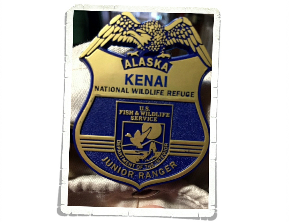
We spent about an hour there and the boys completed all of the requirements for the badge. This is one of their favorite badges so far. I really like that’s it’s blue and not just the standard gold that all the other National Park badges are.
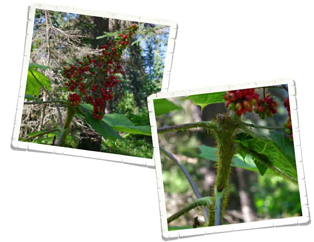
This beauty is called Devil’s Club. We see it all over the place. It’s not a nice plant. Pretty, but not nice. Look at all of those thorns! And the berries are poisonous too. There was an abundance of Devil’s Club on the trail to the lake. We tried our best to avoid it, but it would reach out and grab one of us occasionally.
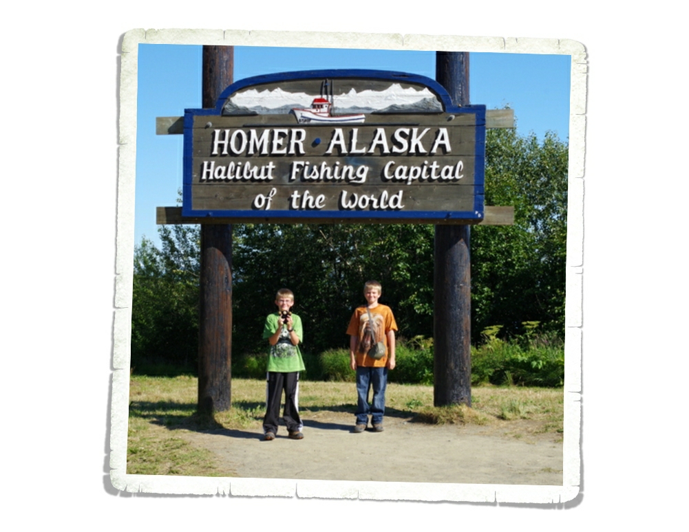
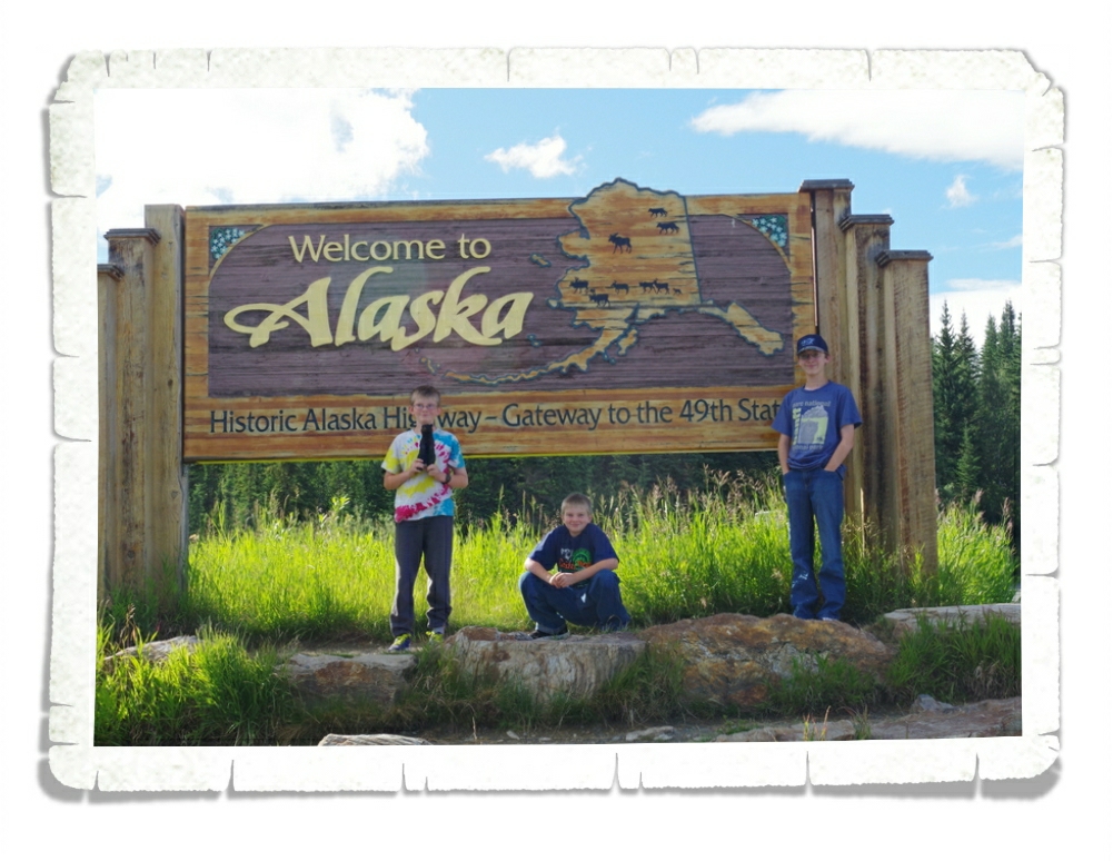
Our next stop was Homer! We stopped by the city sign for the obligatory photo. Alex and Nicholas don’t mind posing for me but Charlie doesn’t always want to…he’s at that age.
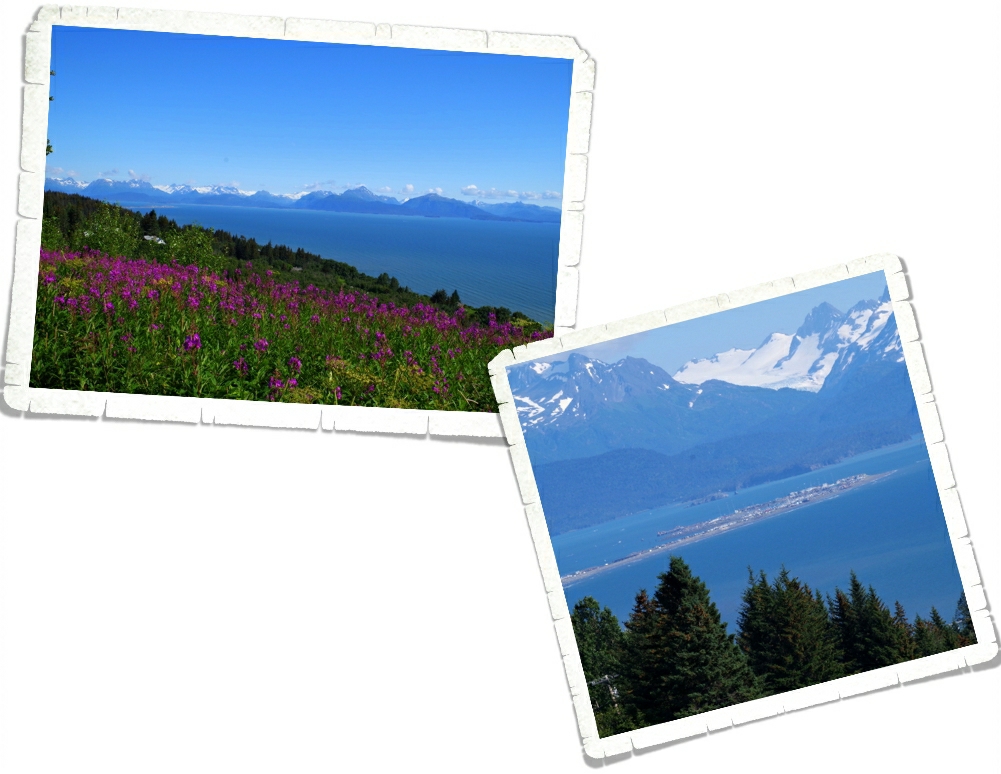
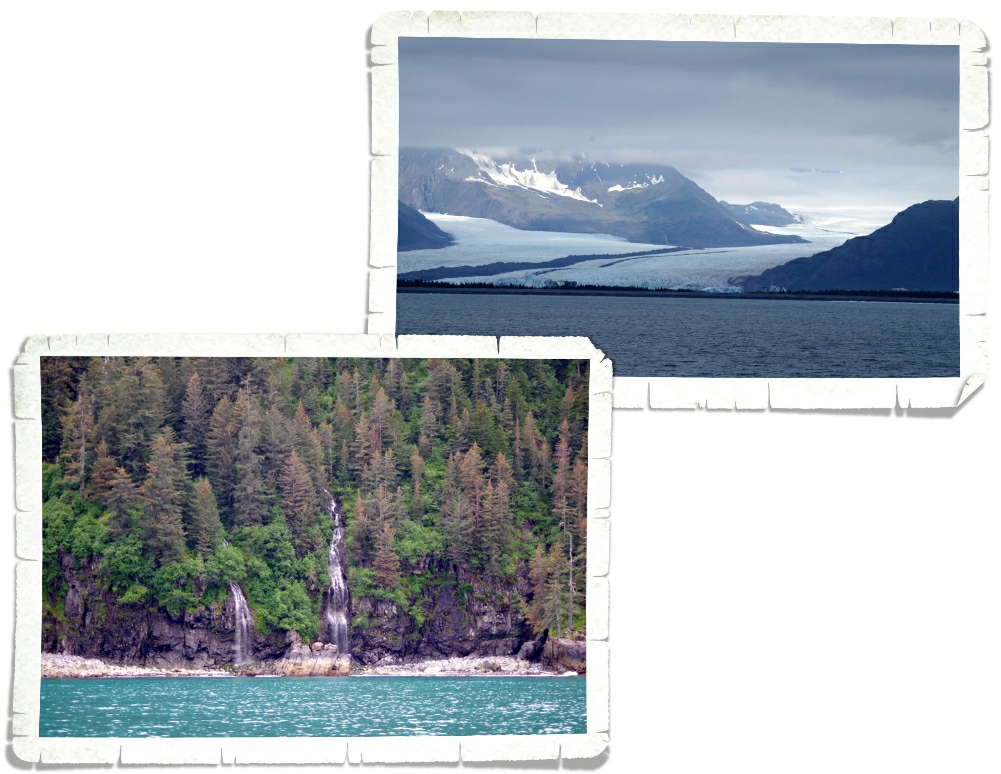
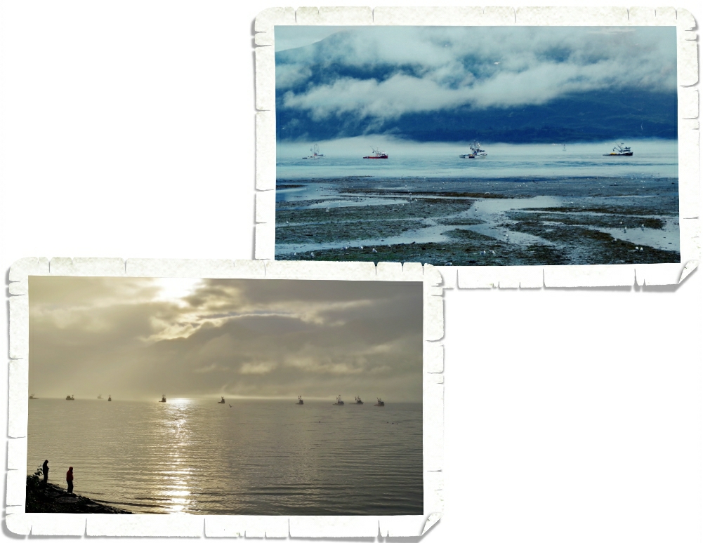
On the into downtown Homer we pulled off at Bay Crest Hill to get a view of the area. Not a bad view, right? We were told that line of mountains in the distance area all volcanoes. I don’t know if that’s true…but…dang that’s a lot of volcanoes! I got a picture of the Homer Spit from our vantage point. You can really see how it juts out into the Kachemak Bay…and looks so flat!
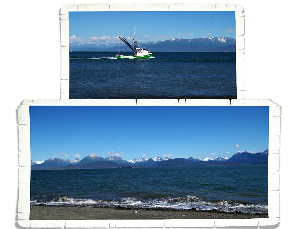
We drove all the way out to the tip of the Homer Spit to get a good look at Kachemak Bay. It was gorgeous! We haven’t found a bad view of coastal Alaska anywhere.
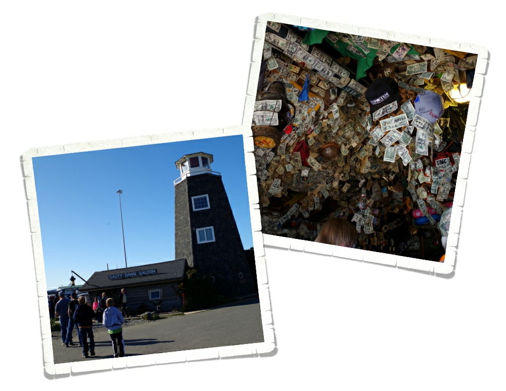
We headed back up the Spit to check out what else it offered. Now, we had heard from a few people about The Salty Dawg Saloon. Y’all know saloons are not really our thing, but we went to check it out anyway. The boys stayed outside while we stuck our heads inside. There’s a story about The Salty Dawg…I don’t know how true it is…but a long time ago someone went in and left a dollar for his friend who was coming in later. Ever since then, it’s a tradition to leave a dollar. It was neat to see all of those dollar bills posted up on all of the walls and ceiling. We didn’t leave a dollar…we didn’t get anything to eat or drink there so we didn’t really feel like we should.
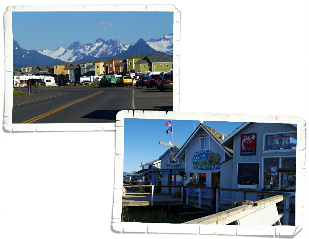
There’s also a small boardwalk with shops along the Spit. They are, as you would imagine…for the tourists. We saw the highest prices yet while in Homer. In fact, we walked into a seafood restaurant, sat down and got a look at the prices on the menu and got up and walked out. We aren’t going to pay over $20 for a kids menu item. We just aren’t going to do it…even in Alaska. It wasn’t a fancy place so the prices really shocked us. We left and found a burger place that fit us much better.
The Spit looks flat from above, so I was surprised to see actual houses right in the middle of the Spit. I love the bright colors of the houses in front of the mountains.
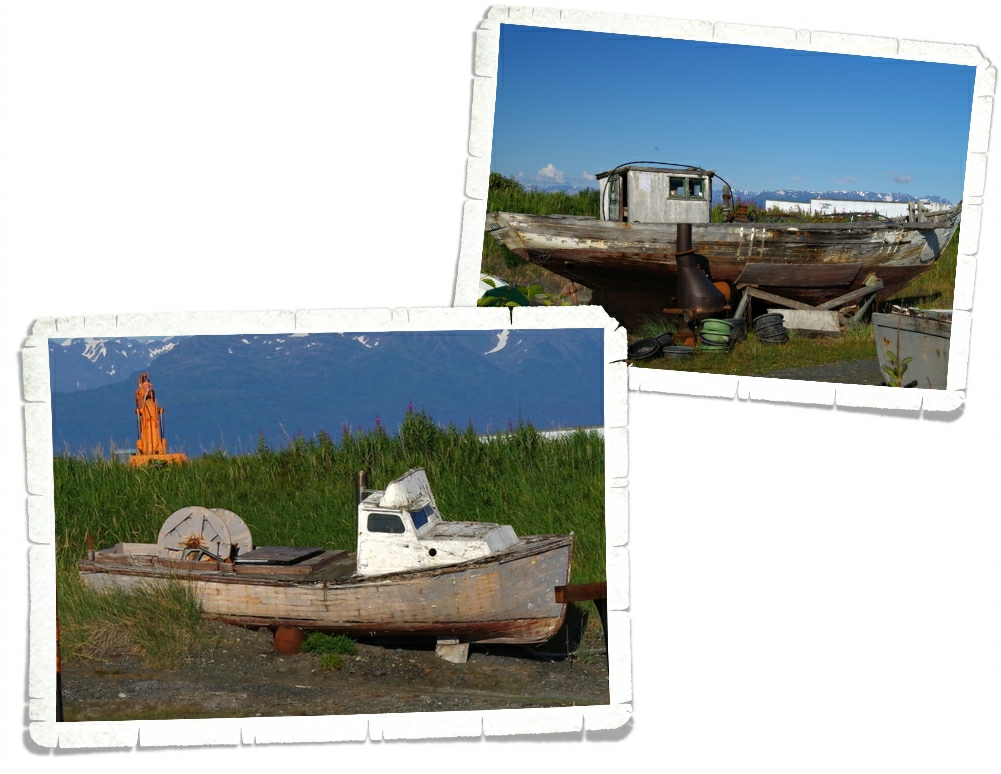
The last thing we did on The Spit was walk by the Boat Graveyard…which ended up being someone’s privately owned property. So, we didn’t get to walk through it, but we got to see some neat boats. The owner of the Boat Graveyard actually lived in a huge, ancient boat right there on the Spit. I didn’t get a picture of it…I felt weird taking a picture of someone’s house.
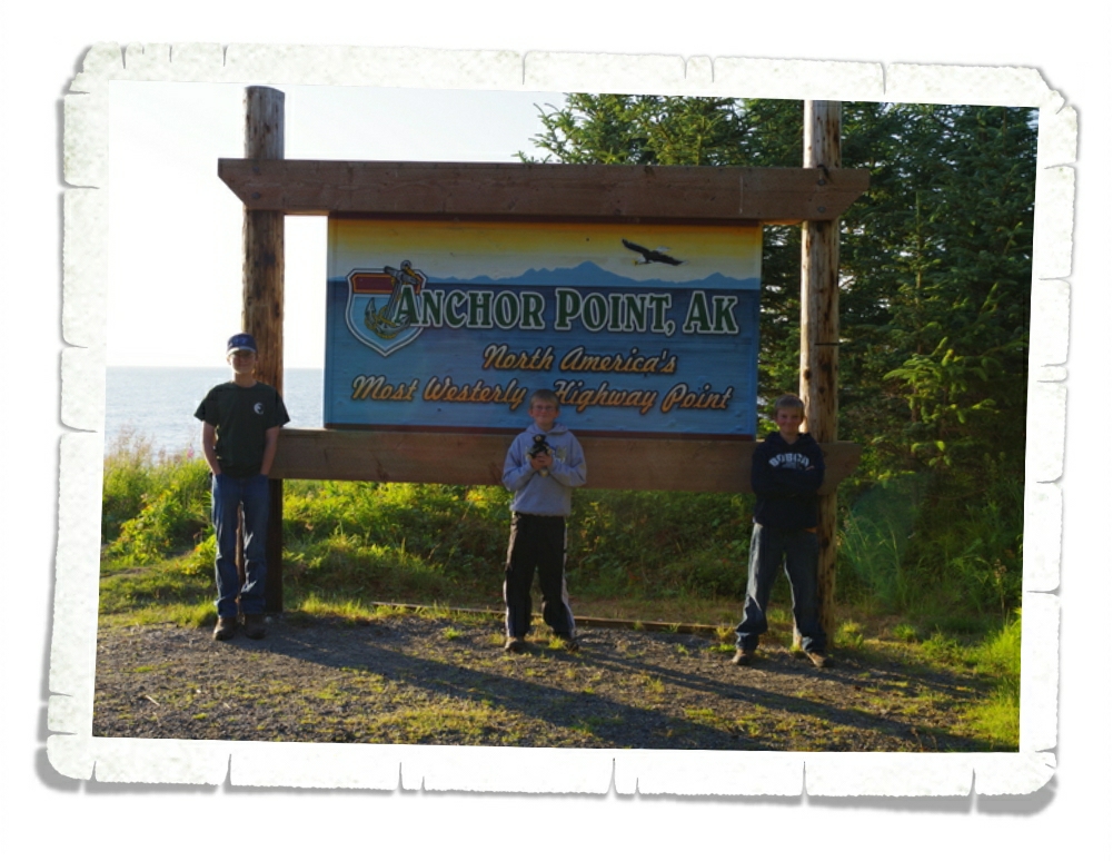
On the way back to Seward, we stopped at Anchor Point to snap a picture at North America’s most westerly highway point. We’ll have to get one at the most easterly point too!
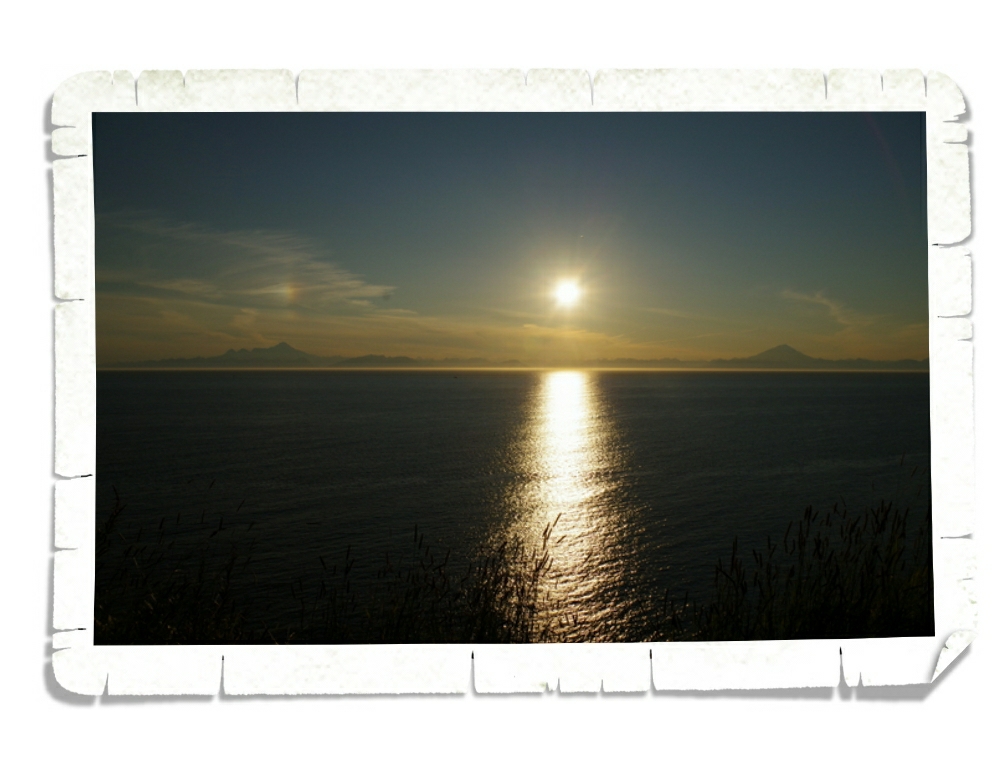
We stopped at a pull off not too far from Anchor Point because the sunset was too good to not get this shot. It was around 10PM and the sun was finally starting to make it’s way to the horizon. There was a small rainbow above the peak on the left…I believe those area called sundogs… We milled about a few minutes and headed back to our home-on-wheels.
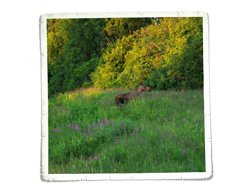
We even saw a few moose grazing by the side of the road! This shot was taken just after 11PM. Dusk for this area.
We had a very long, very memorable day driving to Homer. We missed some of the things we wanted to stop and see, but there are only so many hours in the day.
See y’all down the road!
#alaskabound
#myalaska