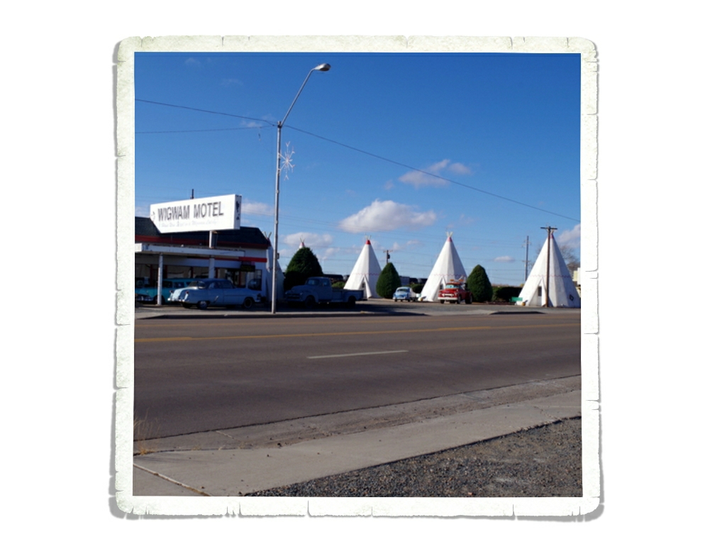
Month: December 2015

Albuquerque, NM

Albuquerque, NM

We had the best time in Albuquerque!! I’ll try not to make this post super long, but I’ll warn you now, it is picture heavy and includes a couple of really short videos.

IMG_2050

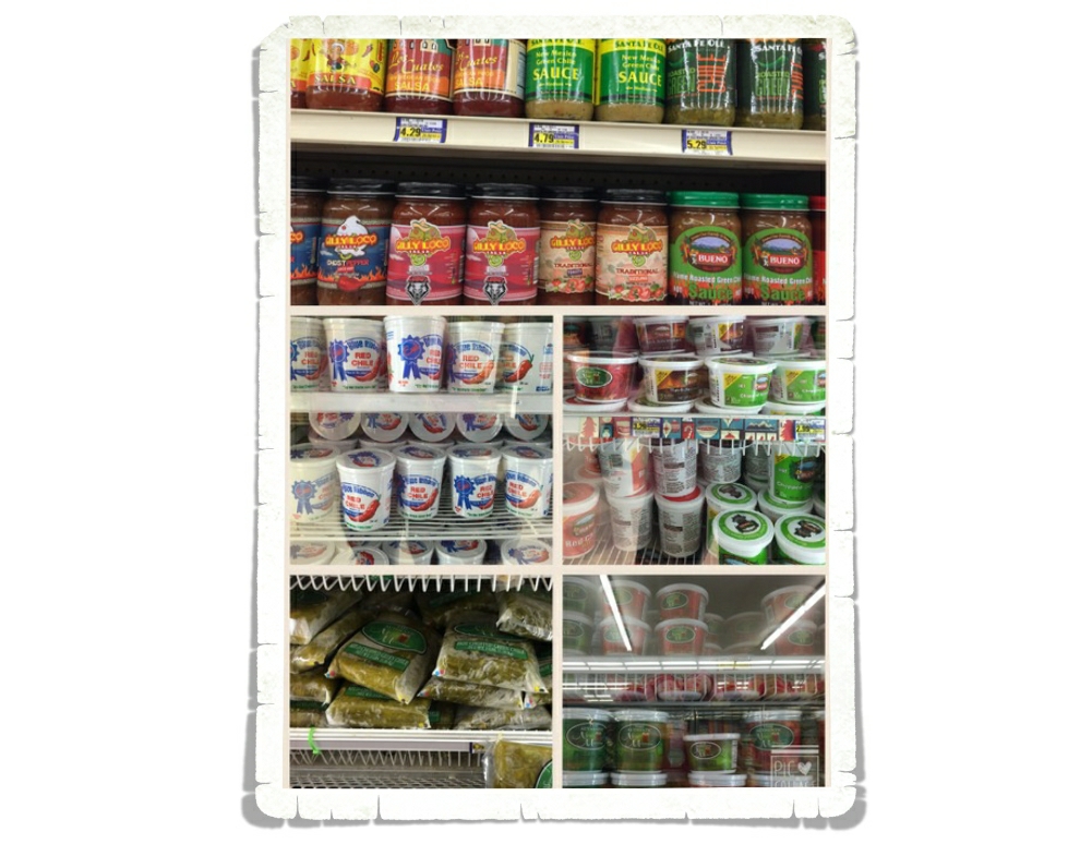
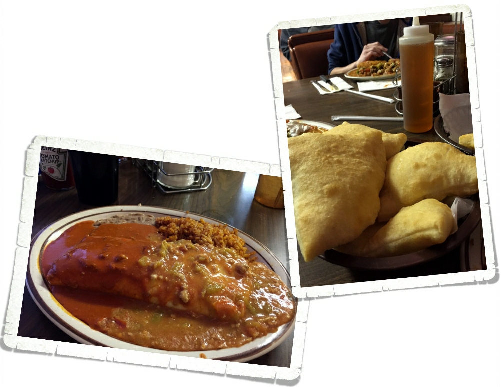
One of the most important things you’ll need to know before visiting New Mexico is that they love their chilies. Every restaurant we went into (and we went into quite a few here) offered chili on everything. If you know us, you know that we consider ourselves to be pepper-bellies…lovers of all things spicy. New Mexicans are not playing around with the spice.

IMG_1937

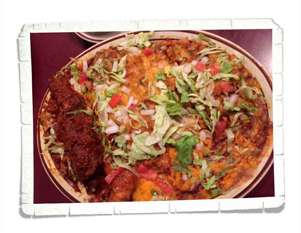
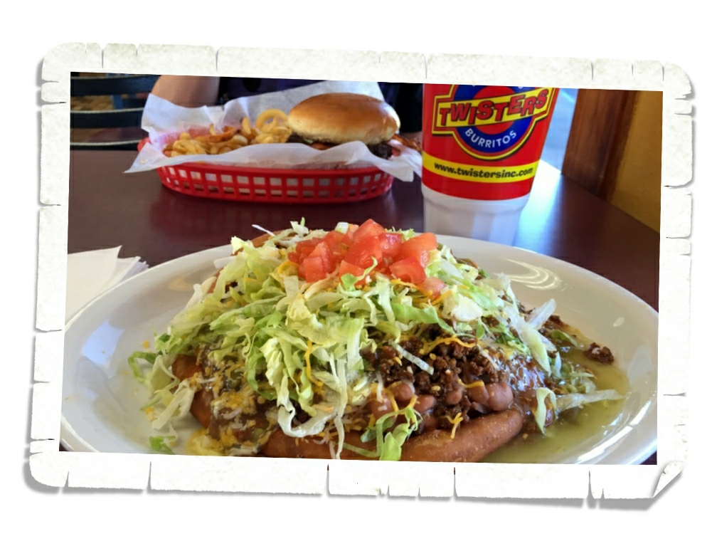
This is what New Mexican food looks like. Kind of like a big plate of goo. The first, and probably our favorite, restaurant in Albuquerque was Sadie’s. The food was amazing and the spice was on point. We all walked out with numb lips and warm bellies.

IMG_1944

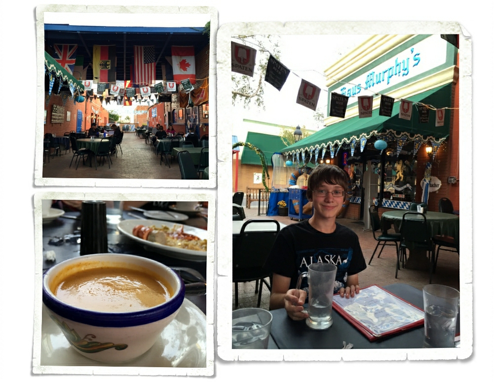
If you’re familiar with the show Breaking Bad, you might recognize the Twisters logo as that of Los Pollos Hermanos. We ended up eating at Twisters twice. Yep, it’s fast food and yep, it’s that good. I got the Indian Taco both times and was in carb bliss both times.
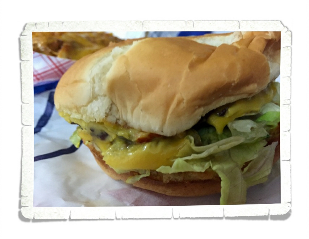
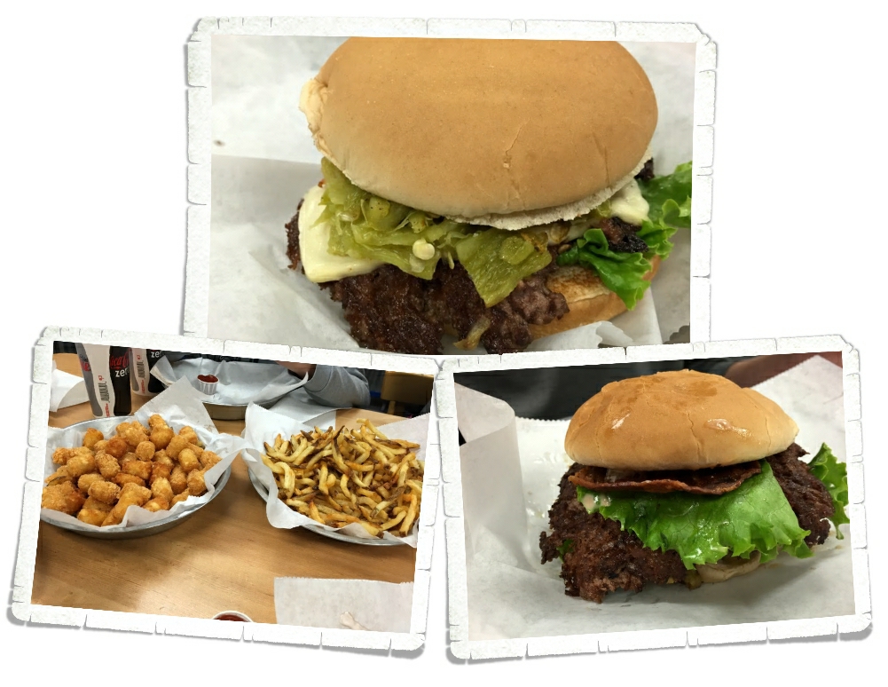
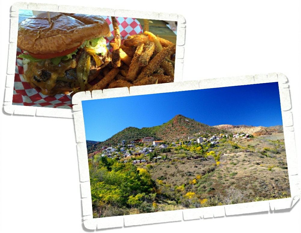
IMG_2040

The burger doesn’t really look like much. Sometimes looks can be deceiving though. Blake’s Lottaburger has one of the best green chili cheeseburgers we’ve found so far in New Mexico. It’s not fancy by any means, the menu is limited, and it’s where all of the locals go.

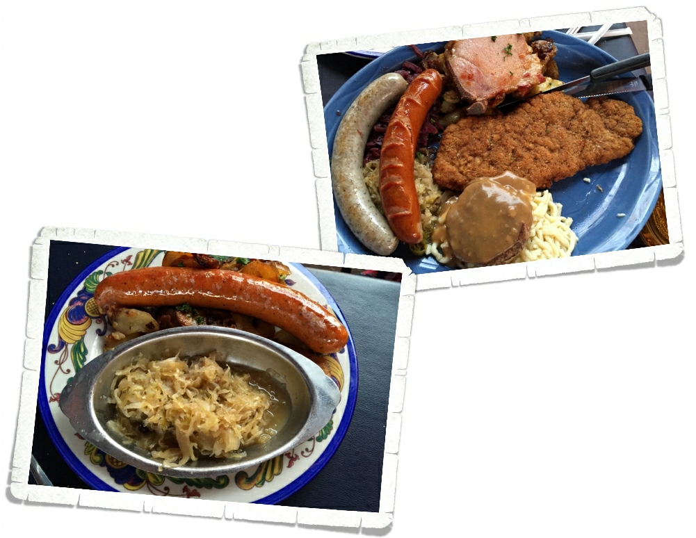
Are you getting the idea that Albuquerque was a huge foodie town for us? We’ve been looking forward to all of the culinary treats this area has to offer. We also ate at a place called Little Anita’s. It was on par with what we’d been getting…spicy, gooey, huge sopapillas, and super good. The other place we ate at is called Frontier. It was a bit of a letdown. I think it’s one of those places that if you grow up eating there it’s amazing. Kind of like Taco Town for Carthaginians. It’s not that the food at Frontier was bad, in fact it had some of the best tortillas and cinnamon rolls we’ve found in a long time…it’s just that it wasn’t up to the standard of the other places we’d been.
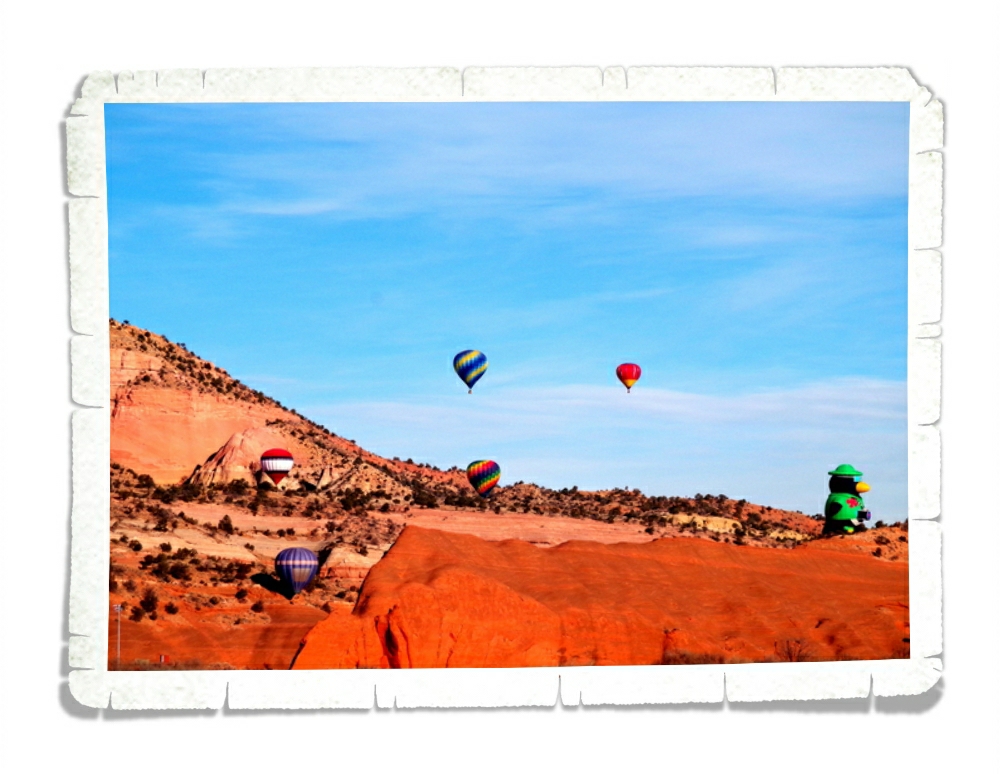
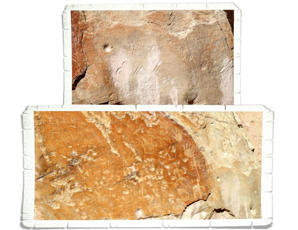
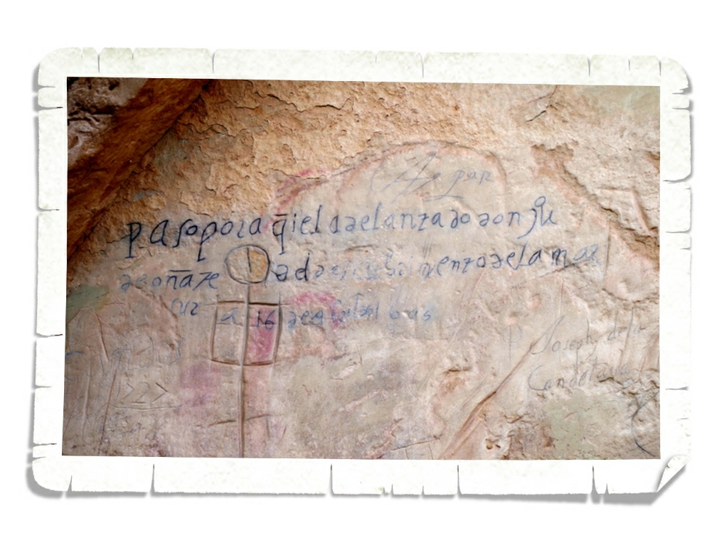
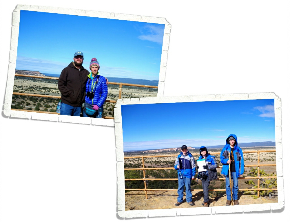
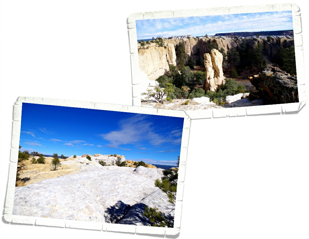
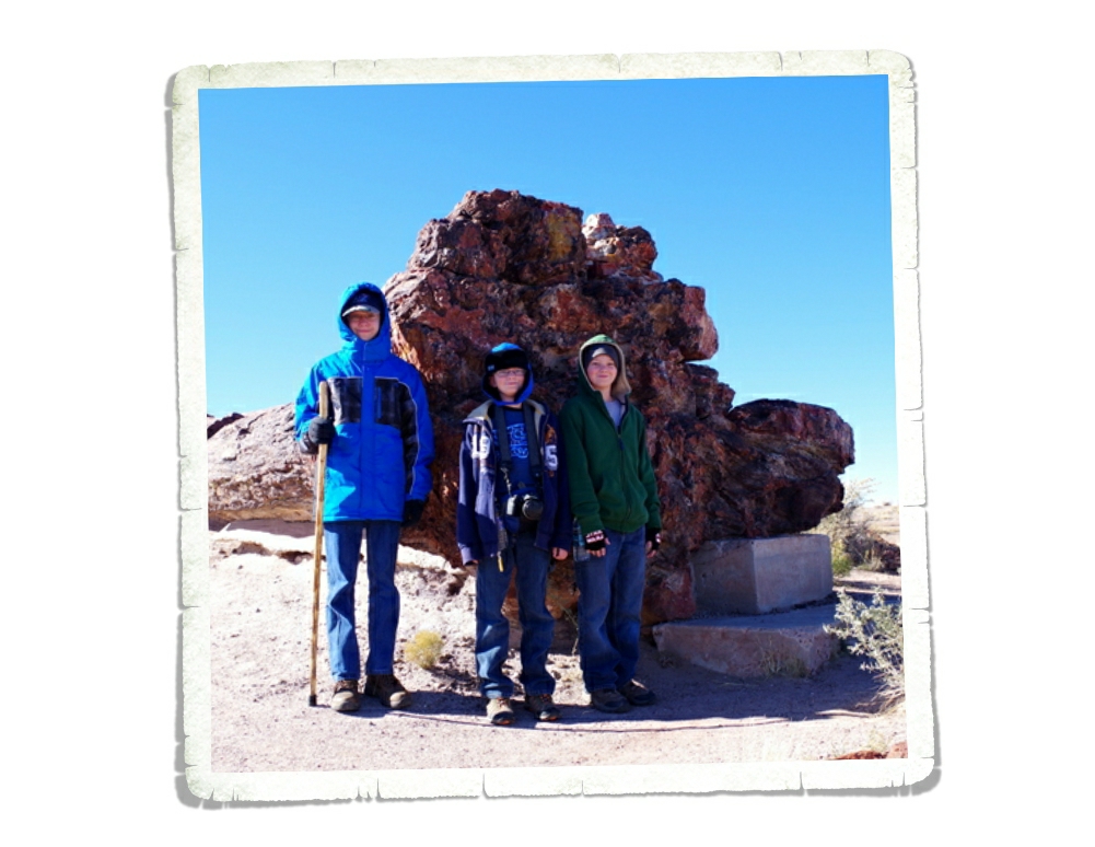
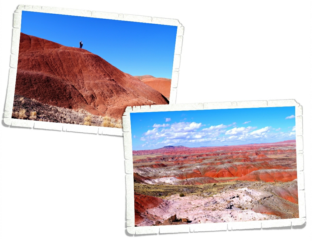
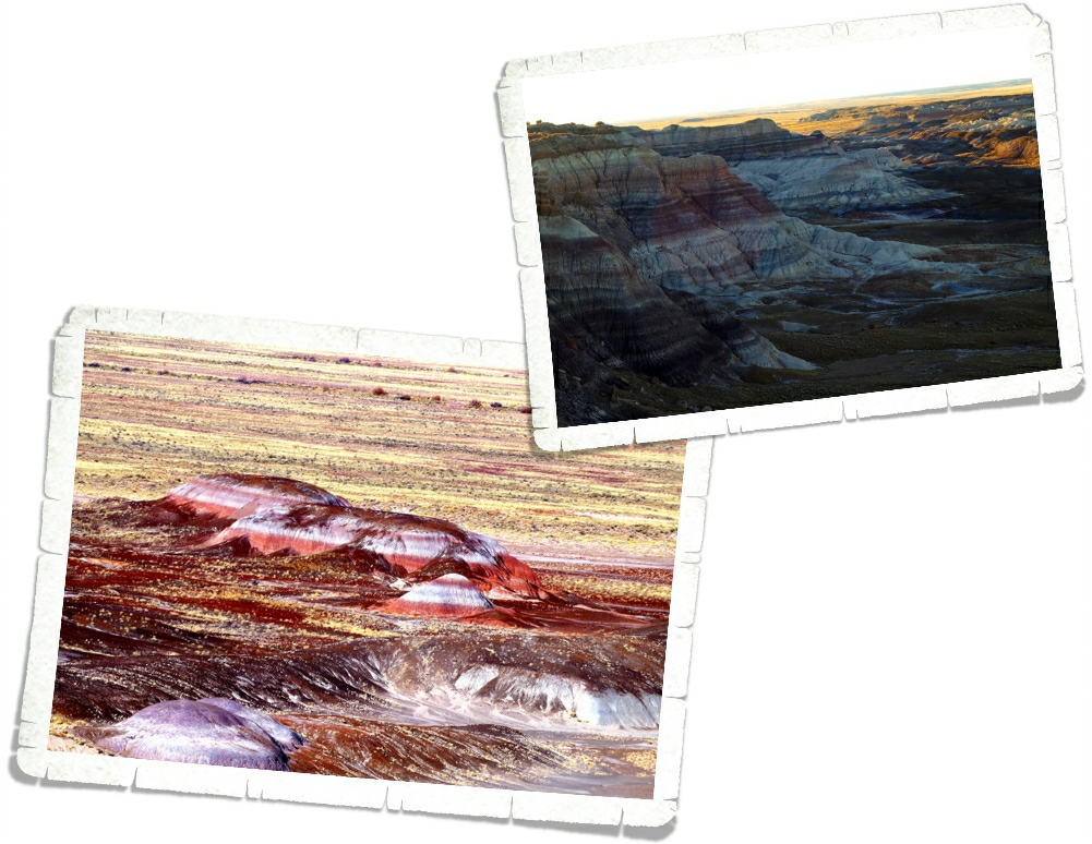
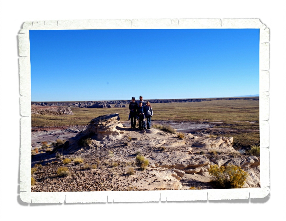
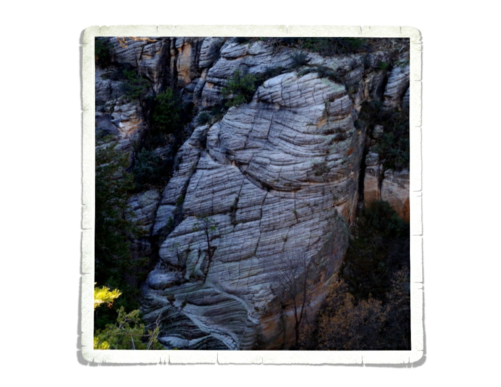
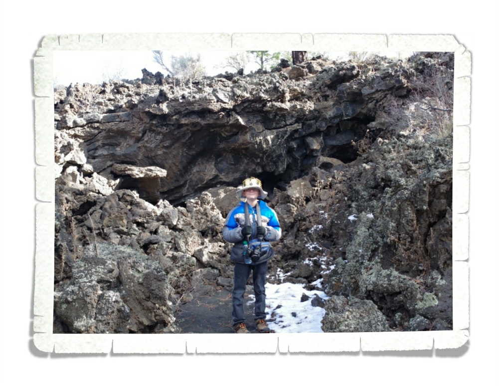
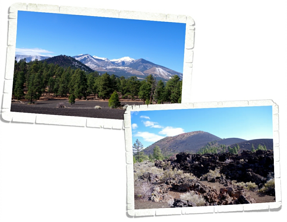
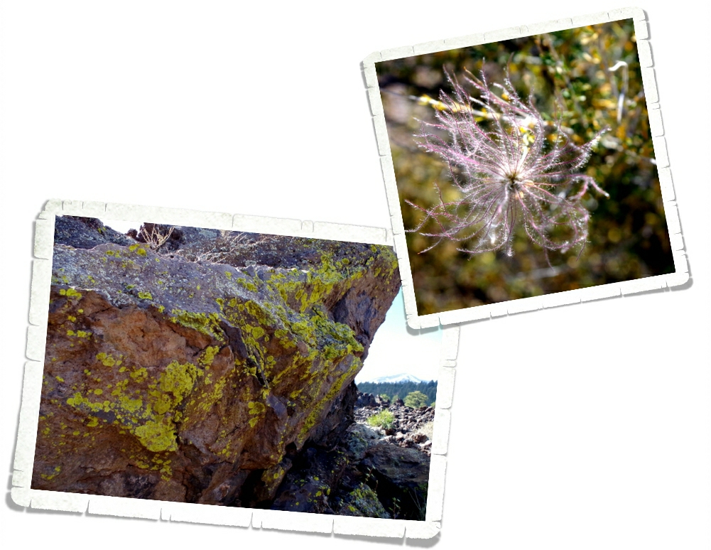
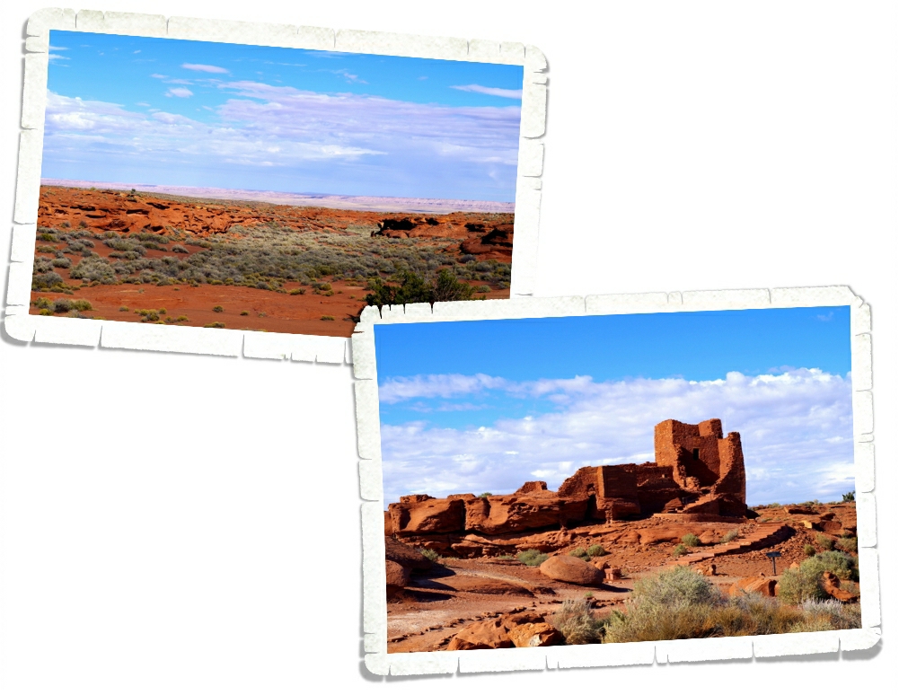
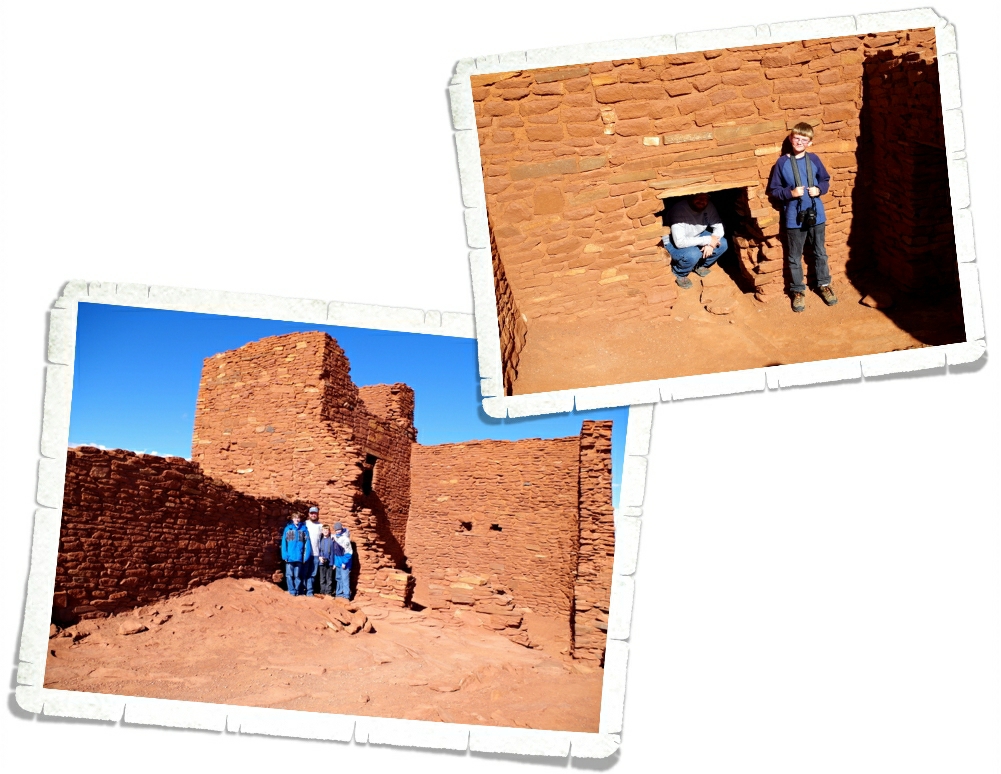
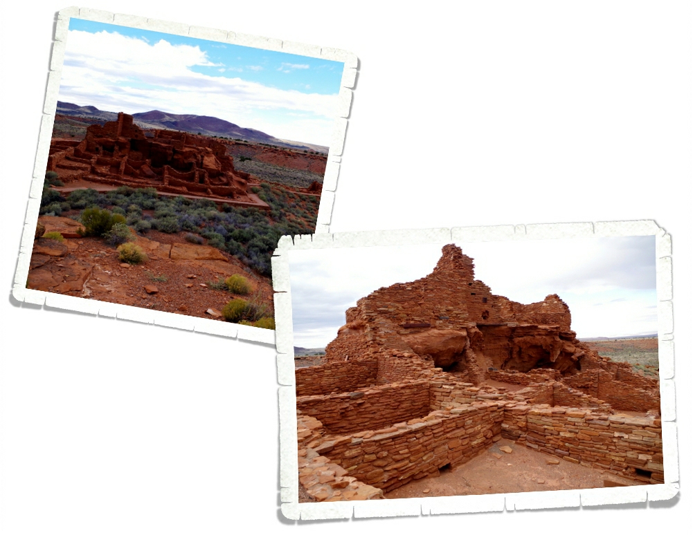
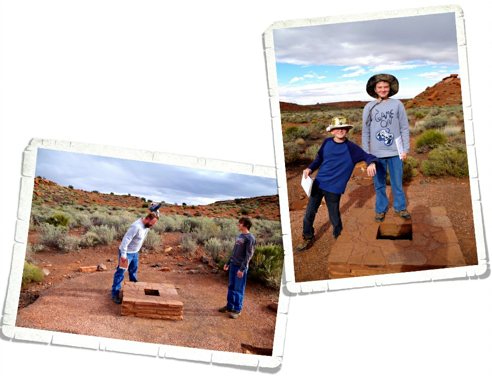
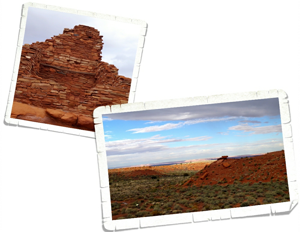
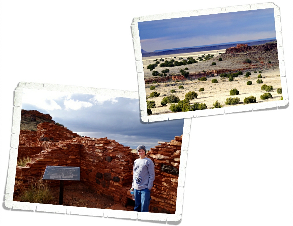
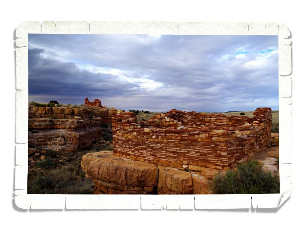
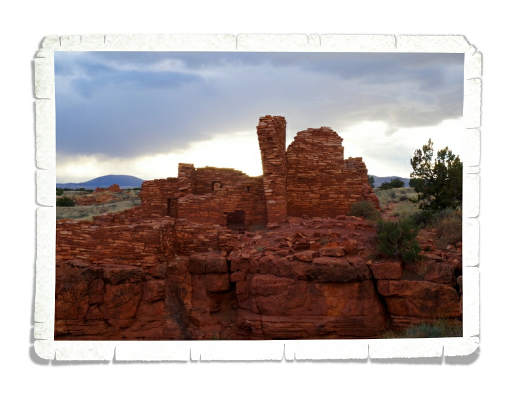
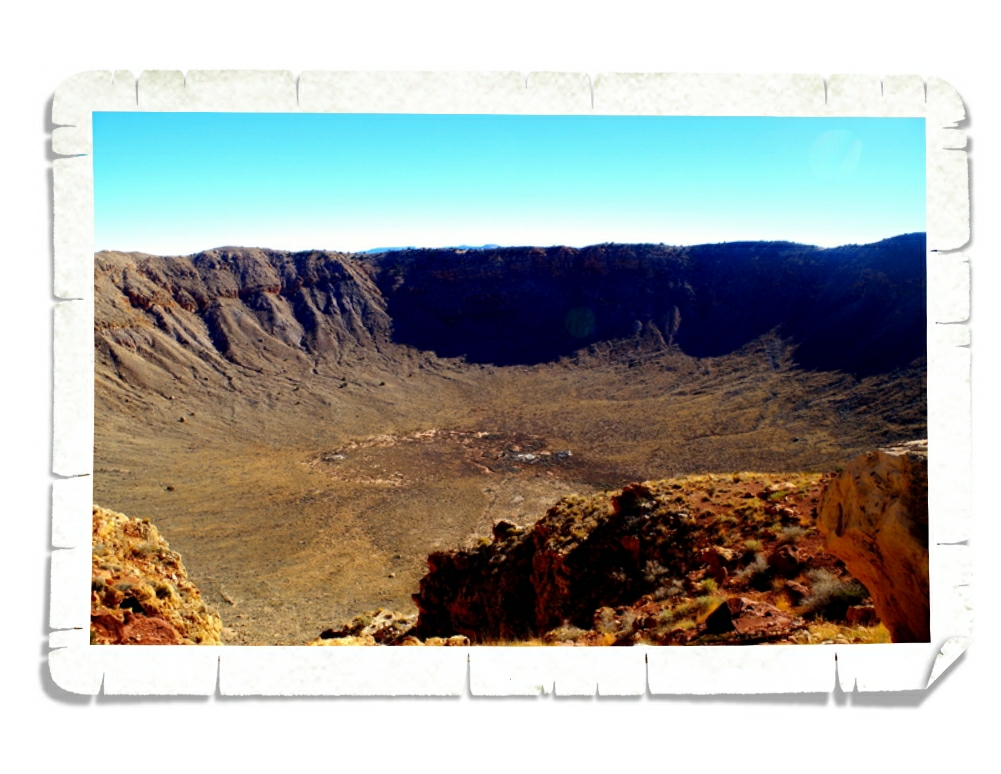
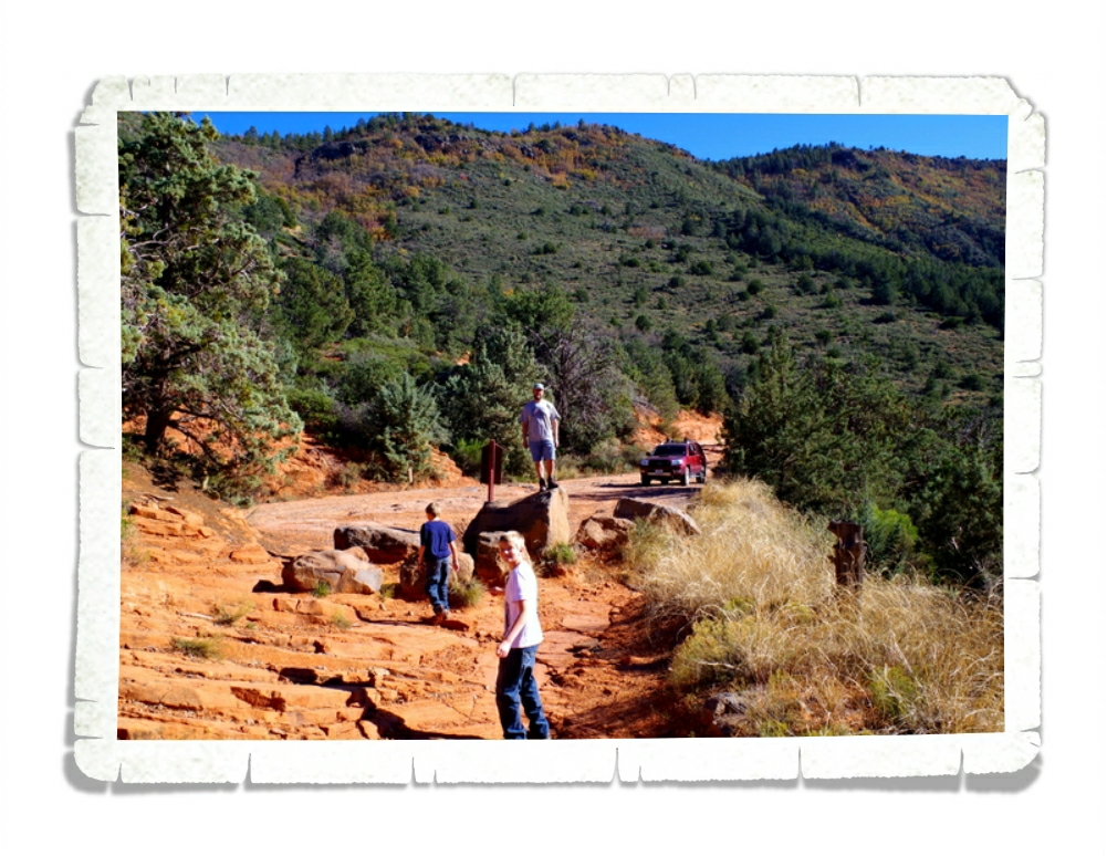
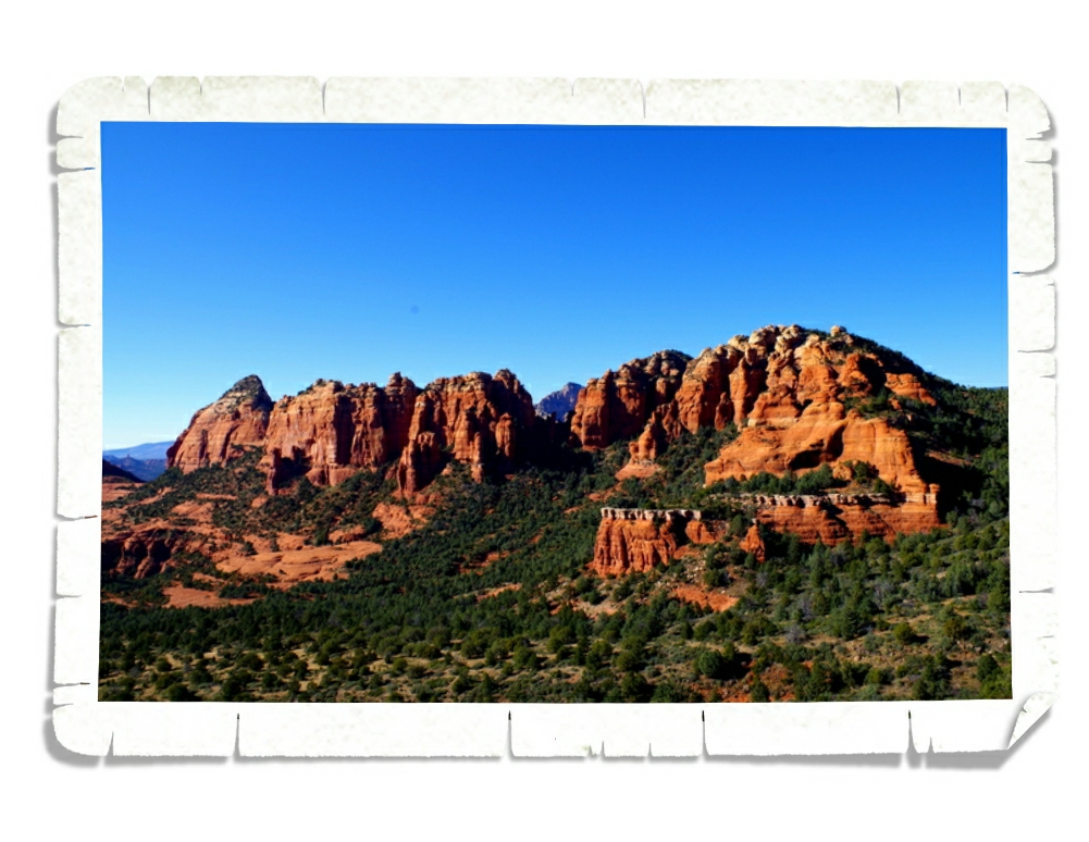
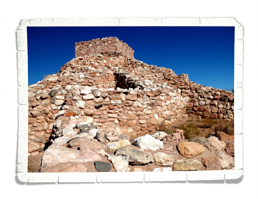
IMGP0165

We didn’t just eat. There are a ton of fun things to do in the Albuquerque area. We spent an afternoon looking for petroglyphs at the Petroglyph National Monument.
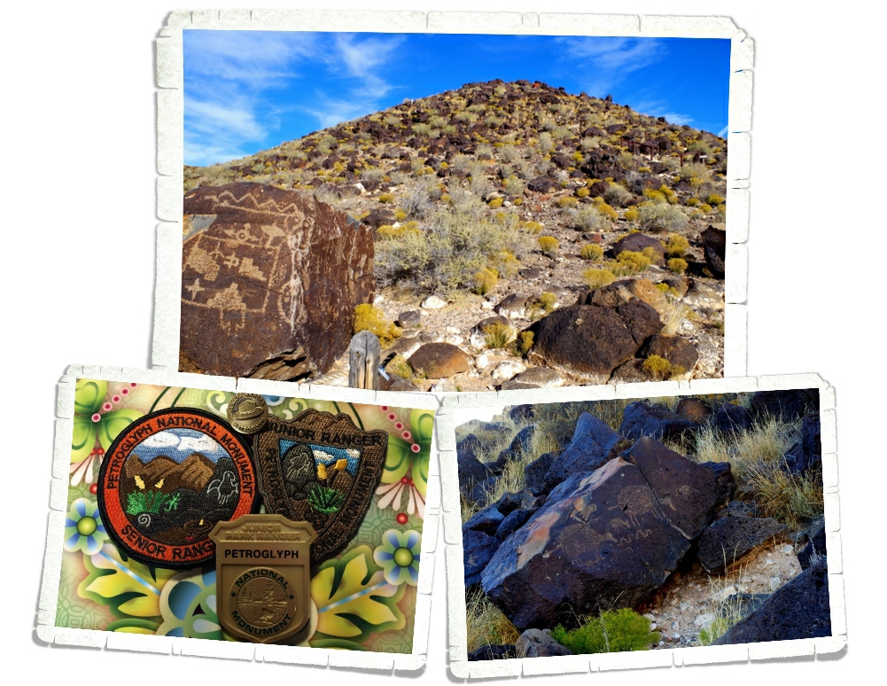
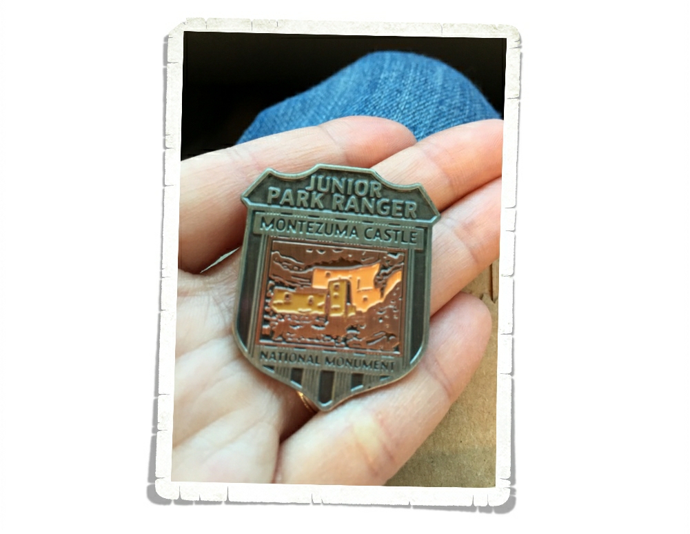
IMGP0173

We did two short hikesIMGP0201

 where we had to hunt for the petroglyphs.  Sometimes they were super clear while other times we weren’t really sure if the graffiti was old or new.

IMG_1990

The boys walked away with both the Junior and Senior Ranger badges and patches.

IMGP0335

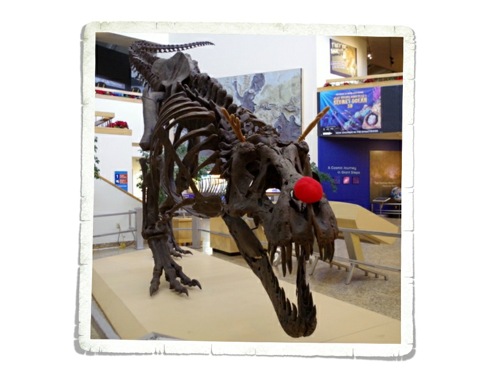
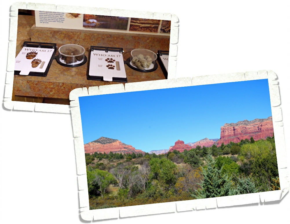
We spent a couple of hours at the New Mexico Museum of Natural History and Science. We loved this museum! They had the whole place sectioned off. Each section was numbered and you could follow the numbers and walk through the history of the Earth. They called it Timetracks: Walk Through Time.

IMGP0344

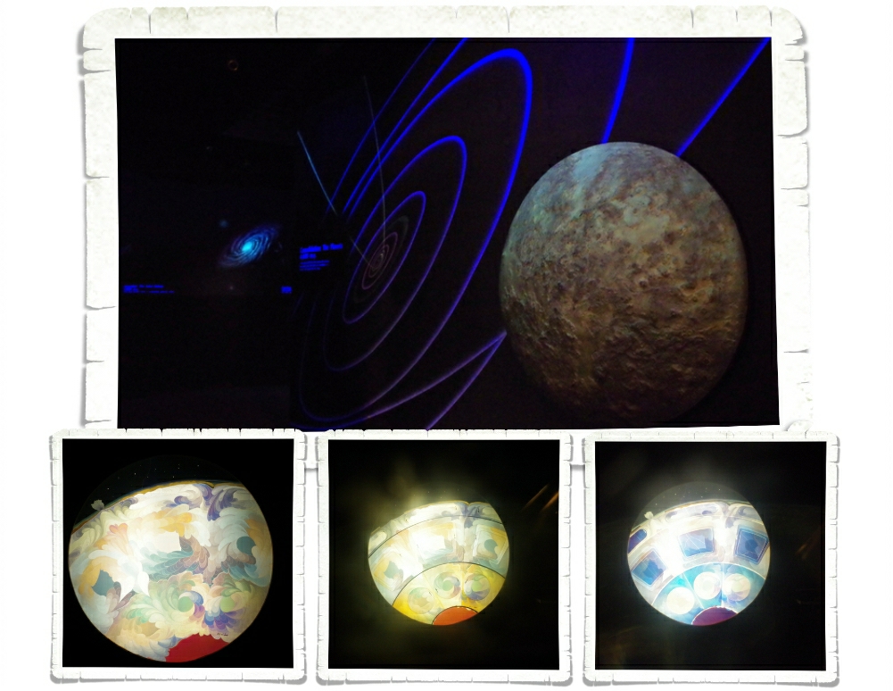
The walk starts at Origins and talks about the Big Bang and the creation of the planets.

IMGP0343

This was one of the most hands on museums (that isn’t a kids museum) that we’ve found. There was this little visor thing you held in front of your face while looking at the image above.

IMGP0346

As you turn the visor the images changes to indicate the changes on earth.

IMGP0347

All five us had to play with this before we moved on.

IMGP0372

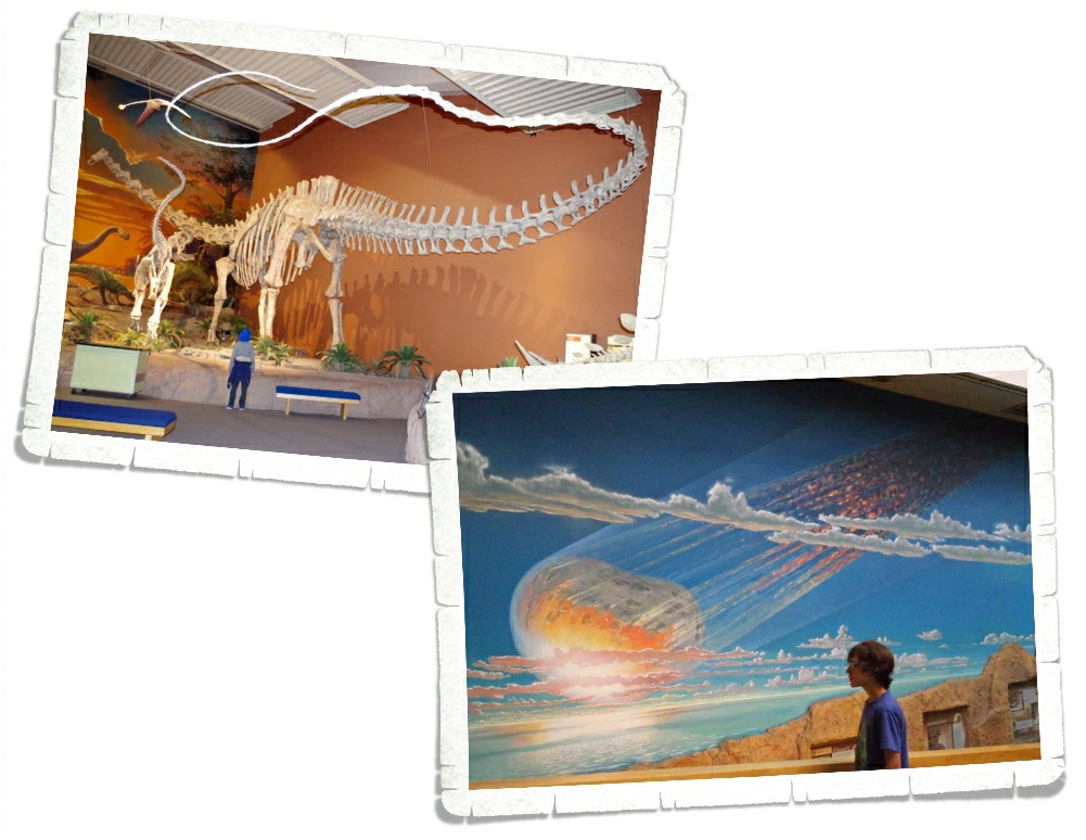
One of the things that made this museum different for us was the way the rooms were put together to create a scene. It wasn’t just a bunch of bones in a boring room.

IMGP0390

The Timetracks walk takes you through origins to the day in the cretaceous period when the dinosaurs had a very bad day, all the way to present day.

IMGP0402

The boys loved all of the interactive displays. We ran out of time here. The museum was closing as we left and unfortunately, we didn’t have time to go back and finish.

IMGP0253

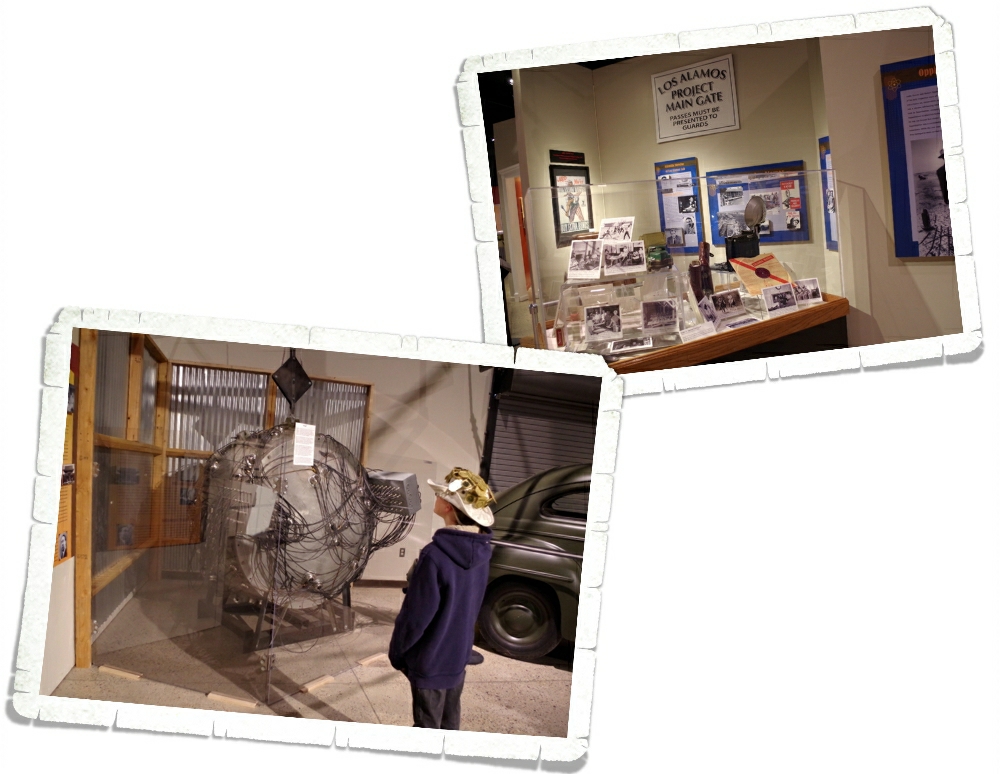
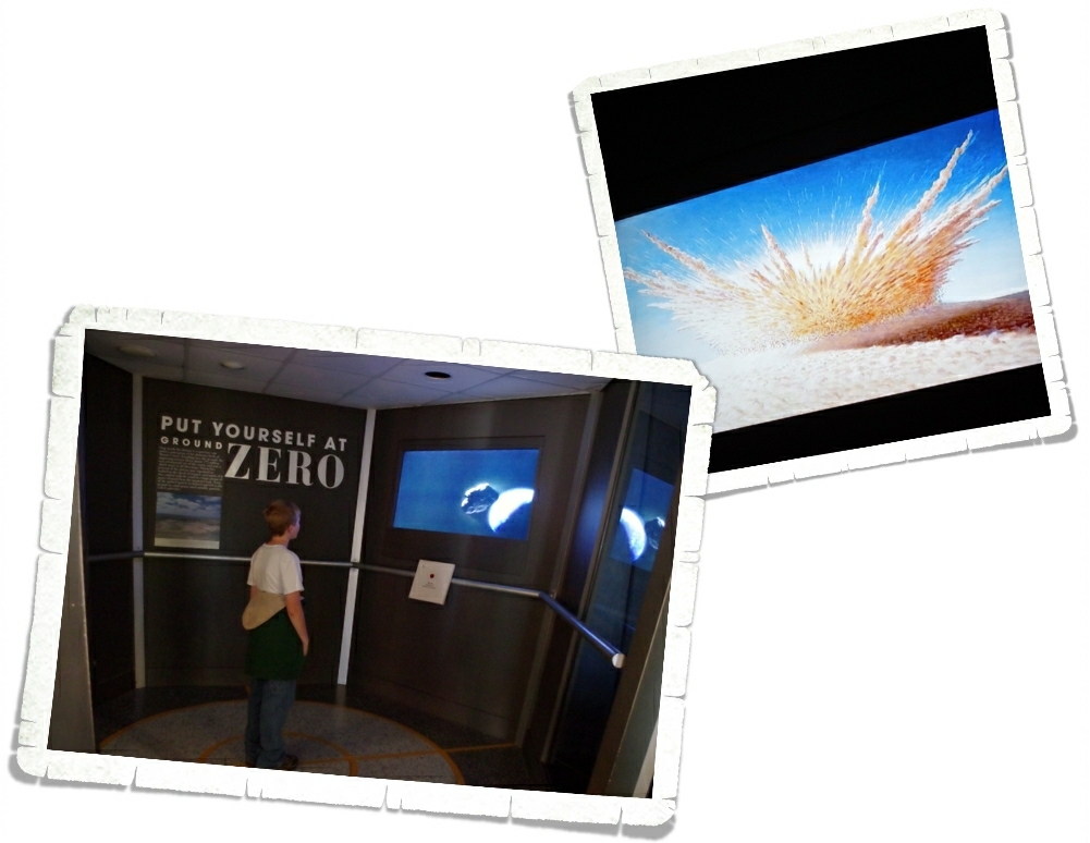
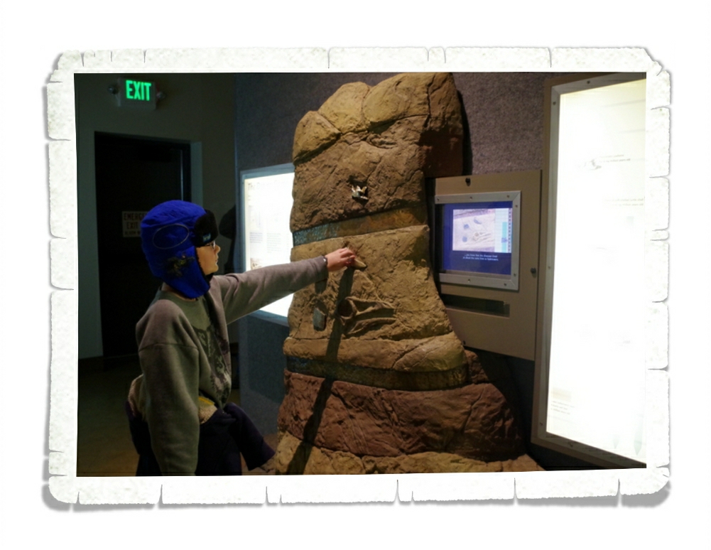
We loved the National Museum of Nuclear Science & History! Yep, we’re nerdy like that.

IMGP0259

This museum was also really well laid out. You start by learning about the Periodic Table and make your way to the Manhattan Project. Littlest is checking out a mockup of The Gadget. Take a look at all the National Park badges on that hat! In the sun it looks like a disco ball!

IMGP0262

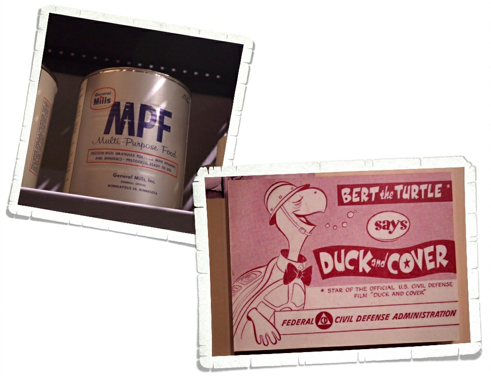
We learned about the Cold War and saw a replica of what a bomb shelter looked like

IMGP0270

and what some of the supplies you might have found in a shelter are. Multi-Purpose Food…sounds yummy, right? I have this image of grey gloppy gruel.

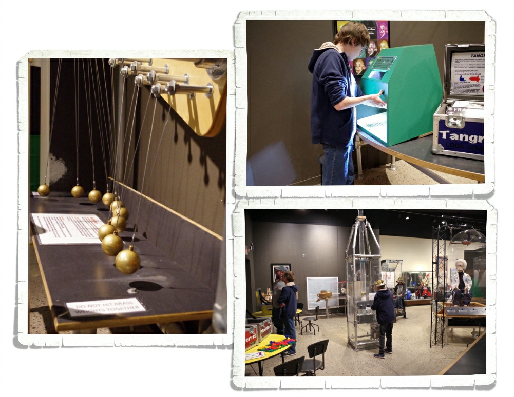
The displays take you through Nuclear Medicine, Radiation, Atomic Pop Culture, and then…

IMGP0307

we got to play!

IMGP0308

I mean, we got to conduct some very interesting, very educational, science experiments.

IMGP0318

Even the big kids found something interesting here.
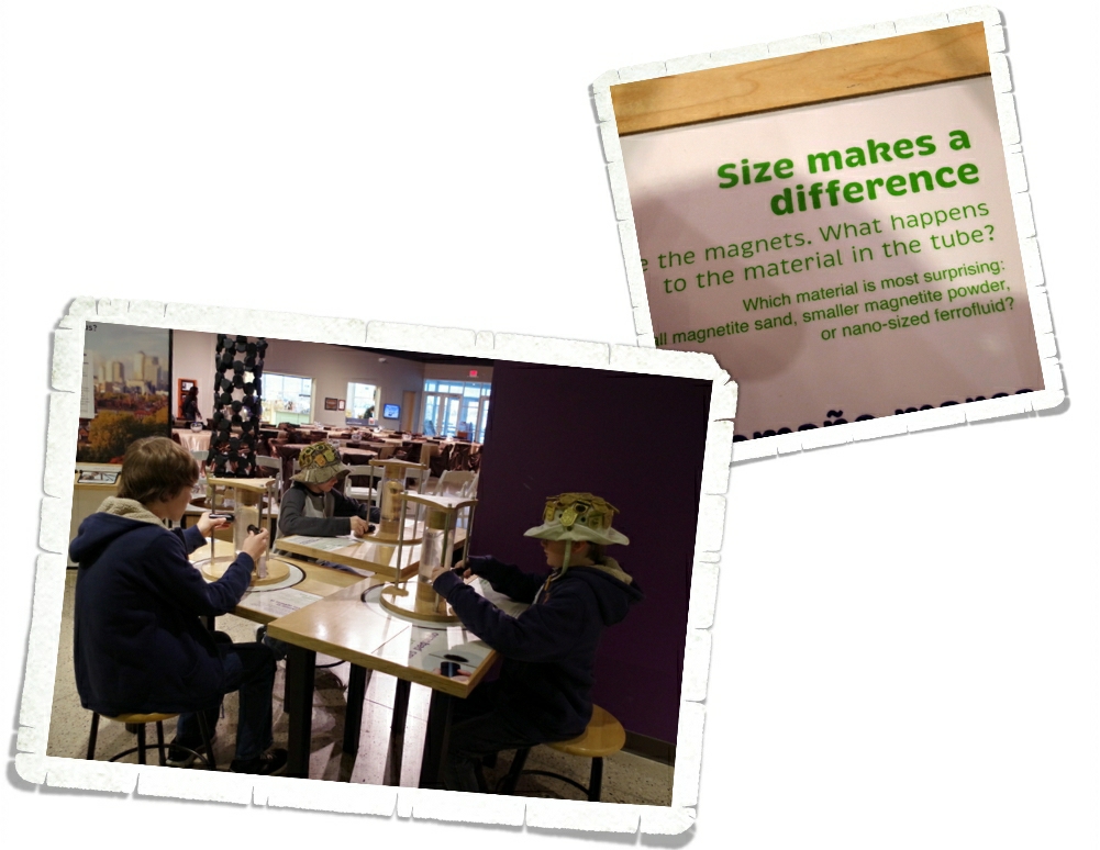
IMGP0328

And then this happened. It’s a good thing this was toward the end of the museum because I’m not sure how much of the museum we would have actually seen if this had been first.

IMGP0329

We all played with the magnetic blobs. I mean, we all conducted the experiment to see if size really does make a difference.

They had to kick us out of here. Seriously. They were trying to close and we just kept wanting to stay. My little geeks were in science heaven.

IMGP0247

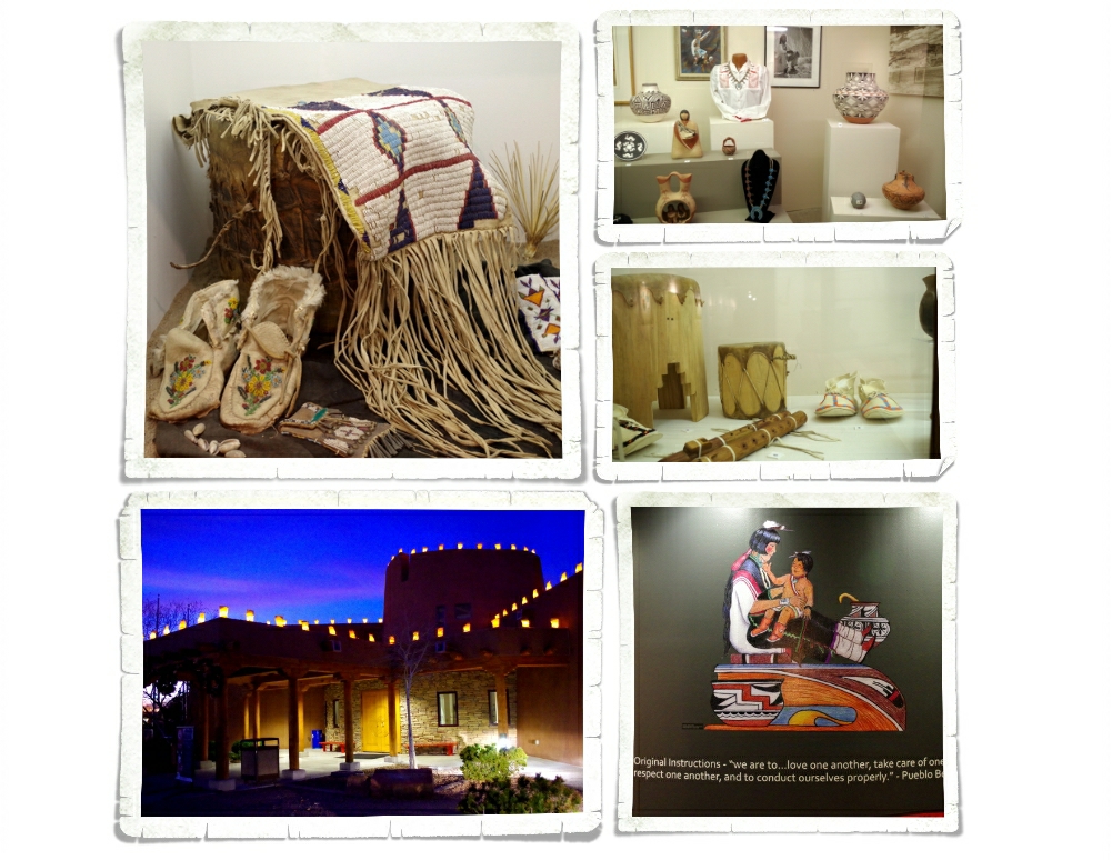
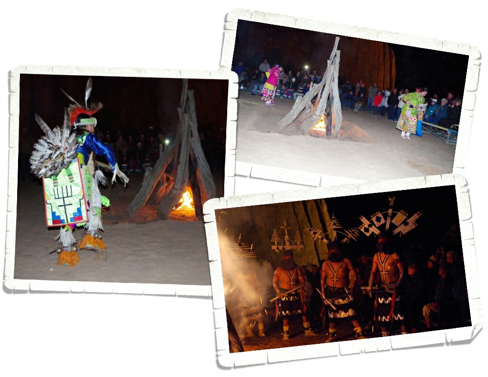
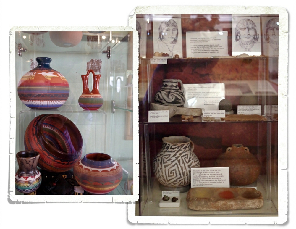
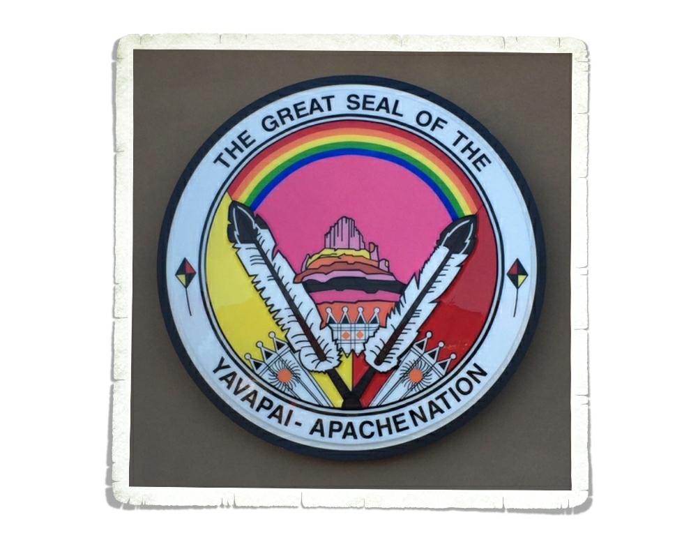
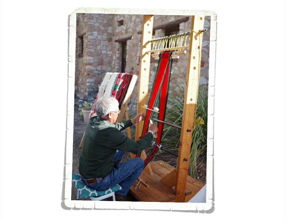
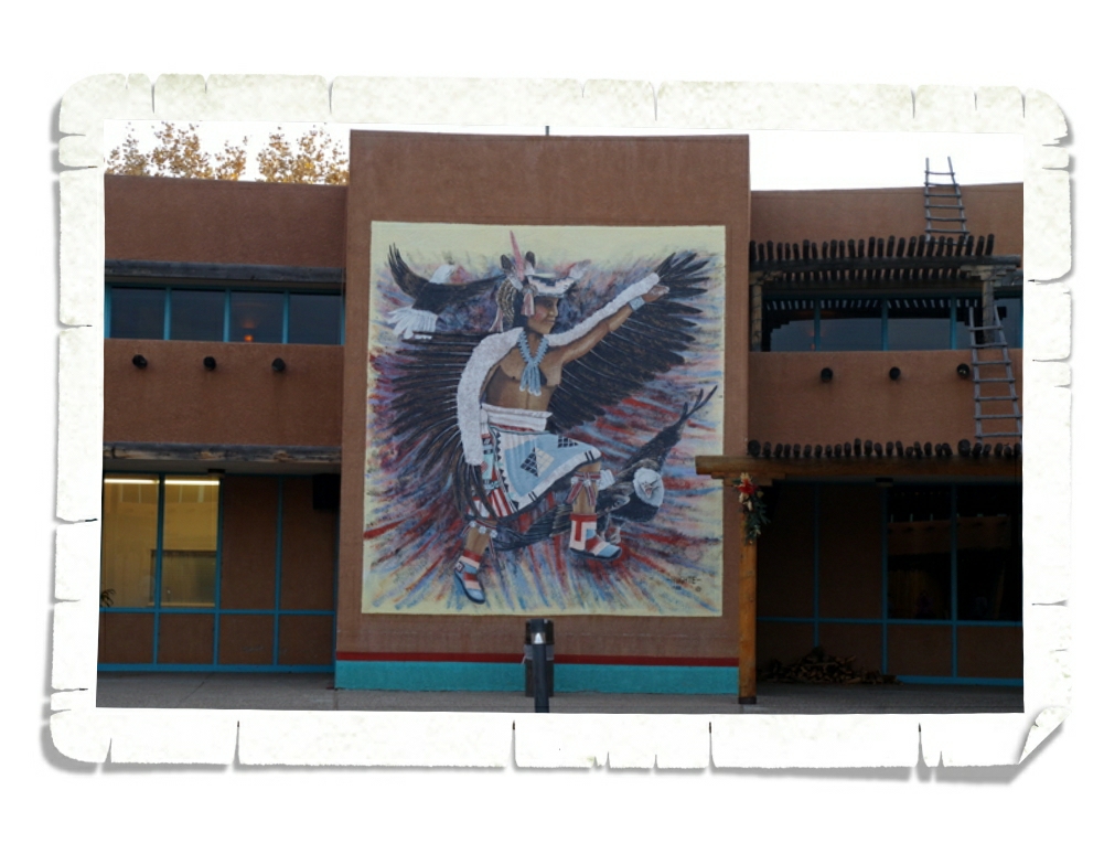
In an effort to learn more about the 19 tribes that call this area home, we visited the Indian Pueblo Cultural Center.

IMGP0229

We learned more about Native American’s beliefs,

IMGP0244

customs,

IMGP0242

ways of life,

IMGP0236

and art.

IMGP0246

We also learned that Native Americans don’t really like being called Native Americans. They prefer to be known by their tribe. I think the biggest thing we learned is that there’s still a lot of animosity between our cultures. I could say more, but I really try to keep this blog a positive, upbeat place.

All in all we had a wonderful experience in Albuquerque and plan on going back someday!

See y’all down the road!

Gallup, NM

Gallup, NM

Gallup is often called the “Indian Capital of the World” because of its location in the heart of Native American lands. Some of the tribes that call this area home are the Navajo, Zuni, and Hopi. We spent our first week in New Mexico learning about some of the local peoples and customs.IMGP0082

I have a plan for each area we go to. My list. But we always look for new things to do and check out what the locals say. When we stopped by the New Mexico Visitor Center near the border I grabbed a Gallup brochure even though I was pretty sure I’d found everything I wanted to do for our time there. I’m so glad I went ahead and got the brochure. We wouldn’t have known about the Red Rock Balloon Rally! Score! When we came back from Alaska and I was planning this Fall/Winter, we’d discussed trying to make it to the Albuquerque Balloon Fiesta, but it would have been a big rush and we’d just come off of a week of 12 hour drive days. So, we put the Albuquerque Balloon Fiesta on our Someday List. It was a wonderful surprise to realize we were going to be in town for the Red Rock Balloon Rally!!

IMGP9964

We were told if you go early and help the balloon teams set up you might be rewarded with a ride. We’re not ones to pass up a chance to learn something new and a chance to ride in a hot air balloon sounded awesome!

IMGP9981

We got up early (for us) and made it to Red Rock by 7AM. We got there right as most of the balloon teams were starting to set up. One of the teams called us over to see what the inside of a hot air balloon looks like. It was huge inside!

IMGP9980

They start airing up the balloons with big fans.

IMGP9992

Once the balloons reach a certain size, they add the fire to heat up the air.

IMGP0004

It’s at this point that they have a couple of people hold on to a tether attached to the top of the balloon. As the balloon fills and starts to stand up…

DSCF1997

well, it’s a lot like skiing, but on sand.

IMGP0010

Seeing all of those balloons being filled and taking off into the early morning sky is definitely a memory that has gone onto my Favorites List.

IMGP0052

We didn’t get a ride. We had to leave so we could do some school/work stuff.

IMGP0070

The balloons like to dip in and out of the canyons at Red Rock. They’ll perch on the rock and take off again. We saw several people getting rides…for free.

IMGP0106

We went back to the park that night for the Balloon Glow and Indian Dances.

IMGP0107

The Indian Dances were spectacular. Really. We’d never seen anything like it and we felt very honored to be able to witness each dance.

IMGP0109

Two different tribes had dancers there. The first tribe had more of a traditional dance and explained the parts of their clothing.

IMGP0135

The second tribe was a little more primal. They were fierce. We left in awe.

IMG_1894

Even if you’re not planning on buying anything, one of the must do things in Gallup is to go visit a Trading Post.

IMG_1895

Trading Posts are really Pawn Shops. I don’t remember the exact percentage of Native Americans who are unemployed, but it’s high. There are several reasons and I’m not going to get into it, but if you go to a Trading Post try to make sure it’s legit.

IMG_1898

We went to Richardson Trading Post. They’ve been in business for over a hundred years. Families from the different Tribes will bring in their crafts to sell at Richardson’s. You’re guaranteed a locally made product there.

IMG_1899

We were surprised to learn that many of the families from the different local Tribes will bring in their family heirlooms, saddles, and ceremonial pieces to store at Richardson’s because it’s safer there than in their homes. We got to have a backroom tour and we saw close to 2,000 saddles stored there along with ceremonial bear and sheep skins.

IMGP9884

We went to El Morro National Monument where we saw Inscription Rock and the over 2,000 inscriptions that cover it.

IMGP9886

Native Americans, Spaniards, and Anglos have all left their marks on the sandstone rock. Some of them were impressively fancy. I can’t write my name that nicely with a pencil let alone carve it into a rock.

IMGP9892

Some travelers gave a description of why they were there or who they were. In the photo above you can see one of the oldest inscriptions at El Morro. It says “Governor Don Juan de Oñate passed through here, from the discovery of the Sea of the South on the 16th of April, 1605.”

Notice how dark the inscription looks in the photo above compared to the other two photos? The Rangers used to try and preserve the inscriptions by going over them with pencils.

IMGP9922

At the end of the Inscription Trail you can head up 250 feet to the top of a mesa for a 2 mile trail to the Atsinna Puebloan dwelling. 250 feet doesn’t sound like much of an elevation gain, right? Well, we were already over 7,000 feet above sea level where the air is mighty thin!

DSCF1957

The view of the Zuni Mountains was breath taking! And not just because I was huffing and puffing from the hike up!

IMGP9941

The trail was at the top of a box canyon and was etched into the top of the rock. The Rangers ask that you stay on the trail so you won’t fall off the side. That’s easier said than done when the wind is trying to blow you off.

IMGP9918

It was a great hike. I would go back just for the hike…and the views.

IMGP9949

The pueblo was very cool!

IMGP9946

We were able to see some of the inner workings of the pueblo. There were doors and windows all connecting the different rooms.

IMG_1905

Y’all know we’re foodies…we couldn’t wait to dig into some New Mexican food! Now, the official state question of New Mexico is Red or Green? They’re talking about chili. Chili is put on everything from burgers and fries, to pizzas, burritos, and pies. It’s such a staple that the McDonald’s and Wendy’s in Gallup have modified their menus to include chili. In the photo above you’ll see what’s referred to as “Christmas Style” which is half red and half green. We, of course, are doing our own experiment as to which chili we like best…red or green? I’ll let you know the answer once we’ve had an opportunity to thoroughly explore all of the styles and options.

IMG_1910

We ate at a little Mom & Pop place called Jerry’s where we learned that most places in New Mexico serve huge sopapillas instead of tortillas or bread. We also learned that many of the restaurants in Gallup let the local crafts people come in and sell their wares from table to table. The sellers were very quiet and non-intrusive and I like the idea of buying right from the artist. I mean, dinner and shopping all in one place?! Bonus!

IMG_1902

This poem was on the back of the menu at Jerry’s and I think it’s a great way to leave you today.

Today may I walk in beauty.

See y’all down the road!

Petrified Forest National Park

Petrified Forest National Park

IMGP9811

We spent a week in Holbrook, AZ so we could explore Petrified Forest National Park. Holbrook is a pretty small town right on Route 66. We had some below freezing temps while staying in Holbrook and saw some of the windiest days we’ve seen in Arizona. I would suggest coming to this area before November.

IMGP9661

The park was a good twenty or so miles away from where we were staying, so we didn’t get to spend as much time there as we would have liked. We ended up spending three days there getting in as much as we could. We stopped at all the official view points and did all seven of the maintained trails and even snuck in two “Off the Beaten Path” trails!

IMGP9843

This National Park is broken up into two parts. The Petrified Forest and The Painted Desert. It really needs to add one more section. The Badlands. Yup, there are badlands in Arizona. If you’re looking at a park map, you’d see that the Petrified Forest is at the southern end and the Painted Desert is at the northern end. The Badlands are right in the middle and to be totally honest, it might have been my favorite part of the whole National Park! This section is called Blue Mesa, but it looks way more pink and purple to me! So, what makes land bad? A badland area is an area of soft rock strata that is cut and eroded into gullies and weird shapes where vegetation just can’t take hold. Notice the lack of vegetation in the photo above.

IMGP9684

We were all a little obsessed with the petrified wood. The colors…

IMGP9677

the textures…

IMGP9699

A short one mile loop would take us twice as long as usual because we would constantly stop to check out a piece of petrified wood that had a new color we hadn’t seen or it had crystals growing in it or a different texture.

IMGP9676

It seems so weird to think that this hot, dry landscape we see today was once a lush, green, humid prehistoric rainforest.  Around 216 million years ago, the petrified wood we see at the park died and fell into a river. Over time they were buried under layers of silt, mud, sand, and volcanic ash. These layers protected them from decay while the mineral rich ground water seeped through the layers to the tree. The brilliant colors you see in the petrified wood are formed over time from the minerals found in the layers they were buried under. Silica or quartz crystals slowly bonded with the cells of the tree and eventually they replicated the tree. So the wood turned to stone.

IMGP9682

This log is called Old Faithful. It measures 35 feet long and weighs about 44 tons…give or take a few pounds. Albert Einstein stood for a picture with this exact tree. We all felt a little smarter having walked in the footsteps of Albert Einstein.

IMGP9717

We thought this seven room pueblo constructed of petrified wood was really neat! We walked all around it and looked up close at the walls. It’s called The Agate House and they think this was a single family home built sometime between 1050 and 1300. When they found it, they thought it was unique, but they’ve found several other pueblo structures built from petrified wood within the park.

IMGP9700

These logs were so big! In the photo above, you can see how long one of these logs really is. Jerl and two of the boys are standing at one end while Littlest is at the other. The log stretches between them.

IMGP9560The Painted Desert Inn was originally built in the 1920s of petrified wood. During the 1930s it was given a makeover to the adobe facade you can see today. You can no longer stay at the Painted Desert Inn. It’s been turned into a museum and is now a National Historic Landmark.

IMGP9548

The stained glass ceiling was gorgeous!!

IMGP9845

Behind the Painted Desert Inn is one of the “Off the Beaten Path” hikes.

IMGP9853

Some of our favorite places in National Parks are the areas set aside for visitors to get off the path and explore. The trails are nice, but you’re never really going to truly experience all that a park has to offer if you stick to them.

IMGP9591

Did you know that Petrified Forest National Park is the only National Park unit to protect a section of Route 66? They’ve got this 1932 Studebaker sitting where Route 66 originally cut right through the park.

IMGP9651

The sun is your friend at a park like this. The shadows make it hard to see the brilliant colors.

IMGP9771

And there are some truly brilliant colors in this park!

IMGP9786

One of the other “Off The Beaten Path” trails takes you to the Billings Gap. It’s about a three mile round trip hike with some amazing vistas. There’s more to do in this park than you might think.

IMGP9804

In Holbrook, right on Route 66, is the Wigwam Motel. Y’all might recognize its likeness from the movie Cars. If you look closely at the photo above you might see Mater and some of the other vehicles from the movie at one of their favorite places.

IMGP9799

Well, I think that’s all of the highlights from our week in Holbrook. I’ll leave you with this photo of just one of the vivid sunsets Arizona gave us.

See y’all down the road!

Old Stuff And A Big Hole

Old Stuff And A Big Hole

That’s quite the title for a post, right? Old Stuff And A Big Hole. Usually, I’ll name a post based on the town we’re staying in, but that doesn’t really work for this area. We stayed 20 miles from Winslow and 30 miles from Flagstaff at the Meteor Crater RV Park. I couldn’t call this post Meteor Crater because that was such a small part of what we saw. So, I went with the title you see. It fits.

Moving on!

The northeast corner of Arizona is chock full of ancient pueblos and dwellings. We find them fascinating and can’t seem to get enough of them. So far, each dwelling or pueblo we’ve seen has been a little bit different than the others. Each providing a new hint or clue as to how people once lived.

IMGP9209

Welcome to Walnut Creek Canyon.

IMGP9210

We spent an afternoon walking the Island Trail at Walnut Canyon National Monument where the Sinagua people lived more than 800 years ago.

IMGP9174

The Sinagua weren’t the first to live in Walnut Canyon. Artifacts found there show people were in the area more than 1,400 years ago.

IMGP9176

The Island Trail takes you by big boulders perched precariously above the trail and down 240 stairs. It’s not the down that gets you…it’s the up and the fact that you’re almost 6,000 feet above sea level.

IMGP9185

Down in the canyon there are these sandstone rock formations. The diagonal lines or cross-bedding shows a record of the changing winds. Those used to be sand dunes.

IMGP9194The cliff dwellings were built between 1125 and 1250. The builders took advantage of natural recesses in the limestone walls to build their homes.

IMGP9199

There are some amazingly preserved homes at Walnut Canyon. The doors would have been covered with whatever they had (like an animal skin) with a gap at the bottom. See the little cutout in the wall above the door? It’s a pretty ingenious design. The air enters the home through the gap in the door then circulates through the home and takes the smoke from the fire with it out through the hole at the top of the wall above the door.

IMGP9198

Sometimes a picture will explain it better. See the square at the bottom right of the photo above? That shows how the smoke would be carried out of their home.

IMGP9201

This photo gives you a better idea of what the dwellings used to look like.

IMGP9218

We spent an entire day between the Sunset Crater Volcano National National Monument and the Wupatki National Monument. There’s a 35 mile scenic drive that connects these two parks.

IMGP9225

Sunset Volcano last erupted about 800 years ago. This eruption is the most recent in a six-million-year history of volcanic activity in this area. The photo above was taken on the A’a Trail.

IMGP9231

The boys loved seeing icicles hanging from the old lava flow.

IMGP9233

Here’s a picture of Littlest standing in front of one of the flows so you can see how tall they are. And yep, that’s snow you see!

IMGP9242

At the top of the Lenox Crater Trail we were rewarded with a wonderful view of the San Franciso Peaks. Interesting fact…the San Franciso Peaks used to be one big volcano.

IMGP9247

Here’s a shot of Sunset Volcano. There’s not a trail to the top to actually see the crater which we thought was a big bummer. But apparently there was so much damage done by people trekking up there it’s now a big no no. Personally, I think if you name a National Park after something there should be a maintained trail to see it.

IMGP9262

After an eruption lichens begin breaking down rock into soil.

IMGP9307

I didn’t find any flowers, but I did find a ton of these Apache Plume that had gone to seed.  We thought they were very cool.

IMGP9346

Next up was the Wupatki National Monument. There are several pueblos in this park and we tried to see as many as we could even as a snow storm was moving in.

IMGP9317

This is the Wukoki Pueblo. Wukoki means “Big House” in modern Hopi.

IMGP9321

The Wukoki has a pretty nice view from its porch.

IMGP9328

Wukoki was once home to two or three families that they believe came from the Kayenta Anasazi culture.

IMGP9331

One of the things we found so interesting about this pueblo is how small the doors are. That’s Jerl crouching in the doorway and Littlest standing beside it so you can get an idea of the size.

IMGP9351

This is the Wupatki Pueblo.

IMGP9389

The location and size (100 rooms) of the Wupatki Pueblo makes archaeologists believe that this wasn’t a typical village but a special meeting place for the surrounding areas.

IMGP9366

One of the coolest things at the Wupatki Pueblo was the blowhole. I’m not going to pretend I completely understand how it works…something with light warm air and cold heavy air.

IMGP9373

We all had to take turns standing and leaning over it. Jerl wasn’t expecting the wind to be so strong and his hat blew right off his head!

IMGP9378

The Wupatki Pueblo had a pretty fantastic view too.

IMGP9387

See the two wooden beams in the photo above? They’ve been in place for over 800 years.

IMGP9402

There was some amazing pottery found in the area.

IMGP9407

And some newer pottery for sale. I would have taken any of the ones in the picture. Love them!

IMGP9417

This was the Nalakihu Pueblo. Farmers once lived here. See the snow clouds getting closer? We got snowed on back at Sunset.

IMGP9425

The ruins really do dot the landscape. Can you see the two different ruins in the photo above?

IMGP9448

These two pueblos were built on the edges of a canyon. We saw these while we were walking the trail to get to the Lomaki Pueblo.

IMGP9459

And this is the Lomaki Pueblo. Notice the leaning walls? I wonder how long they’ll stay standing. Interesting fact…when a family or village would decide to move to a new area they would take all of their valuables with them, including the roof support beams or sometimes they would plug all openings to the building and leave some of their valuables there, as if they had plans to come back. One of the things that has really stuck out to us about pueblos is the way the structures are melded into the landscape and are oriented to the sun and seasons.

IMGP9463

It spit snow on us a couple of time that day. Nothing bad. We enjoyed watching the snow clouds.

IMGP9464

I stuck this picture in to show y’all how many cinder cones dot this area.

IMGP9490

So, the other thing we did on this stop is visit Meteor Crater. I snapped a picture of a picture so you could see the whole thing. The real photo is in the Meteor Crater Visitor Center.

IMGP9494

There was a neat little museum. The boys loved this booth.

IMGP9500

The booth played a video of what scientist think happened about 50,000 years ago.

IMGP9516

We took the guided tour along the Crater rim. It was interesting and the guide made it fun. I don’t have a wide enough lens to get the whole crater in one shot. The Crater is 4,000 feet across, and 550 feet deep. It used to be about 700 feet deep but because of erosion, it’s being slowly filled in. To help you visualize just how stinkin’ big this crater is…there could be 20 different football games going on along the bottom and around 2 million fans could line the sides to watch. Big, right?

IMG_1761

I can’t leave the food out! We ate at a place called Mama Burger in Flagstaff. My burger had green chilies, jack cheese and hot sauce. I’ve been a little obsessed with the green chilies lately. I think it’s because they’re so good.

IMG_1763

This was the burger Mr. Man got. I don’t remember everything on it but it was huge and messy with bacon…and he ate it all!

IMG_1762

We ordered fries and tots to have along with our burgers. We didn’t realize they were going to come out in completely filled pie plates. And the price was really decent! If you’re ever in the area you should definitely go to Mama Burger!

See y’all down the road!

High clearance required

High clearance required

One of the requirements before starting this trip was to have a four wheel drive vehicle. The Sedona area has over a dozen drives that are a little more, adventurous. We wanted to do one of these drives, as the views were said to be spectacular…and they were.
 IMGP9154
The drive we chose to do is called Schnelby Hill Road. Schnelby Hill Road is a semi-maintained dirt road that runs from Sedona to I-17 along 12 miles of very bumpy driving.

Also not for RVs

I was excited to drive up and see this sign. Soon after, the pavement ran out, that’s when things became interesting.
IMGP9090
 Where the pavement ends…
You can see a couple more warning signs in the distance.  I’m pretty sure people don’t read those, we saw several people trying to drive low clearance vehicles along this road. We actually talked to one guy and suggested he turn back…he did.
IMGP9149
 This area is not so bad, pick your path and just about anything can drive along that…but that’s not all there was.
IMGP9091
I have to say, the car looks pretty good going through there.
IMGP9151
Here’s another shot, showcasing the road…and the car.
IMGP9158
The views were amazing the whole way.
  IMGP9106
We stopped occasionally to do some exploring.  This is a bowl that has been washed out of the sandstone from running water when it rains.  Just beyond the edge there is about a 20 foot drop.
IMGP9115
TEQUILA…or at least where we get it.  Agave grows everywhere around here.
IMGP9143
Some more exploring, this was as far as we went, about 4 miles in.
IMGP9129
We were greeted with this view at the end.
I put together a map of the route we took using a Garmin eTrex. I pulled the track off the GPS unit, converted it into something I can use and added it to the map. It’s fun to see where we went. The whole trip was about 8 miles and took us almost 2 1/2 hours.
So Much Awesome Part Two

So Much Awesome Part Two

The Sedona/Verde Valley area has so many things to see and do. From the hikes I told you about in the last post to National Monuments to Ghost Towns. You should plan on spending at least a few weeks in this area to see it all.

We started with the Red Rock District of the Coconino National Forest.

IMGP8668

We went to the Visitor Center where the boys worked on a Junior Ranger program and we got some good advice about surrounding hikes.

IMGP8672

The view from the Visitor Center was pretty stellar. We got our first good look at Castle Rock, Bell Rock, and Courthouse Butte (in that order from left to right).

IMG_1722

The Native American culture is strong here. We stayed right across the highway from the reservation.

IMGP8805

We call it Montezuma Castle today, but the descendants of the people who once lived there know it by other names. The Hopi call it Sakaytaka which means “place where the step ladders are going up”.  We spent an hour strolling around the grounds. We were bummed when we learned you can’t go up into the Castle anymore.

IMGP8779

Montezuma Castle was used by many different clans. The Parrot, Bear, Water, Cloud, Bluebird, and Spider clans are just some of the clans to have called it home.

IMGP8802

Here’s a model they put up of the inside of Montezuma Castle after they stopped letting people go inside.

IMGP8783

The Dude and Littlest are standing in front of some Arizona Sycamore trees. I love the way the bark looks camouflaged!

IMG_1718

The boys ended up with a pretty cool badge. We actually had to buy the one in the picture, but since they completed the booklet and got the free badge, they decided they should have the cooler badge too. We don’t see these badges much. Some parks won’t put them out for sale because they don’t want just anyone to get one.

IMGP8992

In the Montezuma Junior Ranger book there’s a few pages that require you to go to Montezuma Well. You can still get the Castle Badge, but if you complete the whole book you get a special button…so…of course, the boys had to have it. I honestly didn’t think the Well would be that interesting. I thought it was just…well…what you see in the photo above.

IMGP9006

To my surprise, there are some dwellings at the Well! The Well contains over 15 million gallons of water and is replenished with 1.5 million gallons of new water every day.

IMGP9003

For many cultures, Montezuma Well is a sacred place. The Hopi, Zuni, and Yavapai can all trace their ancestors to a time when they were living at the Well.  You can’t drink the water now, since it has arsenic in it.

IMGP8812

Tuzigoot National Monument is one of my favorites so far.

IMGP8815

The Visitor Center had some really amazing artifacts that were found there.

IMGP8825

One of the coolest things about Tuzigoot is that you get to go inside a dwelling and then go up some stairs for a great view.

IMGP8830

Here’s the view from the top. When the archaeological team got to the Tuzigoot site it was just a big pile of rocks. They knew something was under it because the rocks were so uniformly piled.

IMGP8832

Funny story about how Tuzigoot got it’s name…when the archaeologists were looking for a name for the site a Tonto Apache suggested Túzogoot (TWO-see-WHOODT) which means “crooked water”, but the archaeologists spelled and pronounced it as Tuzigoot (TWO-zee-goot) which is nonsensical in Apache. Unfortunately, the Tuzigoot name stuck so that’s what it’s called today. A nonsensical word.

IMGP8845

While we were at Tuzigoot we got to see a weaving demonstration. This guy was so good! He was having conversations and pausing, but he never lost his place in the weave design. I’m pretty sure he’s done it a time or two.

The boys left the Sedona/Verde Valley area with two National Park badges plus two special pins, a State Park badge, and a National Forest pin. They work hard to earn the badges. They have to fill out a booklet that requires you to find items, problem solve, hike, and think outside the box. Then, the Ranger goes over it with them to make sure it’s done and they actually understand it all (I think it’s to see if the parents did the book or the kids).

IMGP8861

What you’re looking at is the town of Jerome, AZ. Jerome is known as “America’s Most Vertical City”. We drove through it trying to find a place to park so we could grab a burger at the Haunted Hamburger, but we couldn’t find a single place to park. I didn’t get any pics of the town as we drove through and I wish I had. It was a really neat town! Jerome is an old copper mining town and was once known as the wickedest town in the west. It’s supposed to be very haunted. We really wanted to spend time there and if we ever make it back to Verde Valley, we will definitely stop back in.

IMG_1726

We didn’t spend the whole time hiking and exploring National Monuments. Nope. We, of course, had to find some good food! We found Hog Wild BBQ in Cottonwood, AZ. It was so good, we ate there twice. What you see in the photo above is the Mingus Mountain Burger and garlic fries! The Mingus Burger has cheese, bacon, and green chilies on it along with all the usual burger stuff!

So, there you have it! That was our two weeks in the Sedona/VerdeValley area. Usually when we stay someplace for two weeks by the second Wednesday, I’m ready to go. I’m itching to move on. But that wasn’t the case here. On that second Wednesday I started to panic about the lack of remaining time and the abundance of hikes to still do. We’ve had to start a list of places to revisit. Can you guess what the first place on the list is?

See y’all down the road!

So Much Awesome

So Much Awesome

We spent two weeks in the Sedona/Verde Valley, AZ area and we get it now. We understand why people flock to this area. This area is a hiker’s dream.

IMGP8716

So many hikes…so little time! I think every cairn we saw had multiple hikes with arrows pointing you in the right direction.

IMGP9019

And then you’ve got the views. Nice, right? It’s hard to be in anything but a good mood when you’re surrounded by views like the one in the picture above. And those views are in every direction!

We spent as much time as we could getting in as many hikes as we could. We ended up getting nine hikes in with a combined total of about twenty miles and we didn’t even scratch the surface when it comes to all of the available hikes in the area! I won’t go in to great detail about each one of our hikes, but I’ll give you some of the highlights.

IMGP8738

One of the first hikes we did was the Baldwin Trail. This was a loop trail that gave us some amazing views of Cathedral Rock. You can see Littlest and The Dude standing in front of Cathedral Rock in the picture above.

IMGP8873

We spent an afternoon hiking around four miles of the trails at the Red Rock State Park. The leaves in Sedona were starting to change to fall colors. I thought the yellows and oranges next to the red of the House of Apache Fire was pretty.

IMGP8939

One of our favorite hikes was the Boynton Canyon hike. We started off surrounded by the red rocks this part of Arizona is known for,

IMGP8943

but ended up in a ponderosa pine forest

IMGP8956

where we had to stop and smell…the trees! Ponderosa pine trees smell like vanilla and sometimes they smell like butterscotch! The bigger the tree the stronger the scent.

IMGP8951

We got to see some fall colors in the forest. It’s been awhile since we’ve experienced actual fall colors and weather and we thoroughly enjoyed it.

IMGP8967

At the end of the Boynton Canyon hike is a wonderful view of the box canyon you just hiked through. The sun was in the wrong spot for me to really get any great shots, but you can get an idea of what our view was in the picture above.

IMGP9050

Another of our favorite hikes is the Devil’s Bridge hike. We were lucky enough to have a four-wheel drive vehicle so what would have been more like a six mile hike was only a two mile hike!

IMGP9052

This hike had some truly Harding Icefield worthy hiking!

IMGP9054

The views even rivaled what we saw during the Harding Icefield hike! Can you tell we still compare everything to Alaska?

IMGP9060

This is the Devi’s Bridge. It was spectacular!

IMGP9077

There was a path to the top of the bridge and a path that takes you under it. We, of course, had to check out both paths.

IMGP8679

We did one hike twice. What you’re looking at in the picture above is Bell Rock. You can hike to it then climb all over it!

IMGP8690

The view from part way up Bell Rock is pretty fantastic!

IMG_1755

See those white dots in the middle of the above photo? Those teeny tiny, dots are Jerl and the boys. I scrambled up about half way then decided to sit and enjoy the view, but Jerl and the boys wanted to see how far up they could get. IMGP9086

A fun thing to do in the Sedona area is look for the rock formations that have names. You can get a map pretty much anywhere with the rock formations and their locations. We saw a few during our explorations. The one above is The Sphinx.

IMGP9120

This one is The Teapot. There’s one called Snoopy Rock. We tried our hardest to find it, but never saw it.

IMGP8729

We saw a few flowers on our many hikes. Not many though.

IMGP8678

Even here in sunny Arizona, it’s the wrong season for most flowers.

IMGP8695

We did see a ton of agave. The stuff is seriously everywhere!

There’s just so much awesome in the Sedona area, I’m going to break it up into two posts. In the next post I’ll tell you about one of the towns we went to and the National Monuments we visited. We drove one of the many four-wheel drive roads. Jerl is going to do a post on that for you. It was quite the adventure!

See y’all down the road!

Pizza Roundup Pisa Lisa

Pizza Roundup Pisa Lisa

Pisa Lisa has some of the best pizza ever with super tasty gelato, but let’s talk gelato later.

IMG_1645

Pisa Lisa is in Sedona, AZ.

IMG_1633

I had a really good feeling about this place. It started off right with some of the best blueberry soda I’ve ever had!

IMG_1635

The menu has pizza, salads, panini’s, tapas, and more.

IMG_1636

We just got pizza.

IMG_1701

I got a nice picture of one of the chefs tossing dough.

IMG_1639

Now, let’s talk gelato! They had lots of flavors like strawberry cheesecake, raspberry, pistachio, mango, that is all the flavors I remember but there were more.

IMG_1640

They also had tiramisu on the dessert menu. This is my dad’s favorite!

IMG_1642

The decor was top notch!

The bathrooms were clean and the service was good. Pisa Lisa is definitely getting a 5 star review.

Typing this review made me drool!

See you next time on

Pizza Street!

Phoenix, AZ

Phoenix, AZ

IMGP8546

We’ve been in Arizona for about a month and we finally made it to the State Capitol Building! We don’t add the state sticker to our map until we’ve been to the Capitol Building, so we’d been looking forward to Phoenix.

IMGP8583

See the pretty statue on top of the copper dome? It moves! We thought that was a nice touch. I’ve decided the Capitol Campus in Phoenix is my favorite so far.

IMGP8555

It’s not my favorite because of the Capitol Building it’s self…although the fact that the original section of the Capitol Building has been made into a wonderful museum, definitely helped put this Campus on the top of my list. The building isn’t the prettiest, the architecture isn’t the most interesting, but the museum was brilliant!

IMGP8563

We got a look at what life was like in the State Capitol Building in the early years.

IMGP8573

And, we got to see the state flag made from Legos! How cool is that?

IMGP8574

We found examples of all the state symbols.

IMGP8594

The rest of the campus was very lovely with several memorials dedicated to the wars.

IMGP8603

We spent a couple of hours perusing through the museum and the grounds.

IMGP8590

And, of course, there were the flowers!

IMG_1607

These pink ones were everywhere.

IMG_1596

We ended up eating dinner that night at a German place called Haus Murphey’s.

IMG_1594

The weather was perfect for eating outside.

IMG_1599

I knew it was going to be a wonderful meal when it started off with creamed pumpkin soup that even Littlest, who doesn’t like soup, loved.

IMG_1601

The meals came and we all made appreciative noises as each plate was presented.

IMG_1604

Everything we had was amazing and best of all, there was enough leftovers for everyone to have lunch the next day! Score!!

We’ve put Haus Murphey’s on our list of places to visit again!

See y’all down the road!