Month: January 2016

Alamogordo

Alamogordo

We’d heard that there was going to be a snow storm the day we were supposed to drive down to Alamogordo, NM so we got started as early as we could and hoped for the best. We hadn’t driven but maybe an hour before we ran right smack dab into the front edge of a blizzard. Luckily, we kept just ahead of it the entire time we high-tailed it down to our RV park in Alamogordo. The people at the RV Park told us they’d heard the area would get 7 inches of snow that night. We had big plans for the next day so 7 inches of snow didn’t sound great. When we got up the next morning, we didn’t see any snow at all, but when we got out we quickly discovered all of the roads leading out of town were closed. Apparently, the rest of New Mexico was closed due to the blizzard. We went back to the RV and regrouped. We spent that first day at a Hastings where we checked out the movies, games, and books. It was kind of a nice relaxing day. Usually, our weekends are go, go, go.

IMG_2283

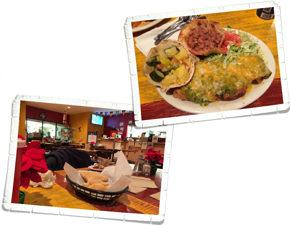
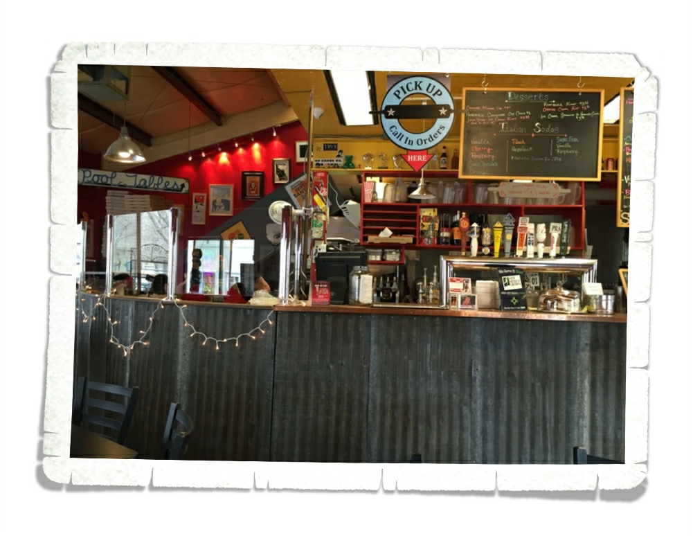
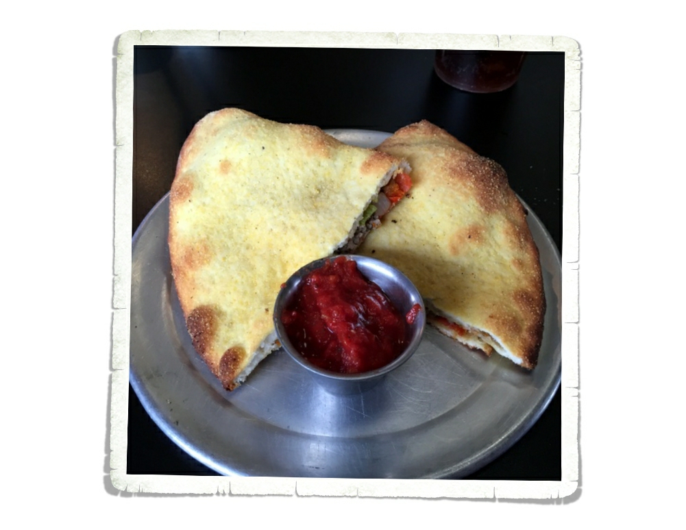
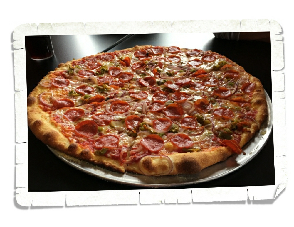
We ended up eating lunch at Rockin’ BZ Burgers where we had the best green chili cheeseburger in New Mexico. This place is solidly at the top of our list for burgers. Littlest got the fried pickles and they were surprisingly good! We ended up eating here twice…in one week!

IMGP0957

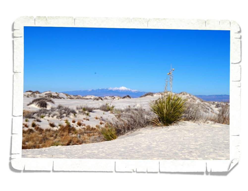
The main reason we came to Alamogordo was to visit White Sands National Monument. In the photo above you can see the Sierra Blanca which is 67 miles away from WSNM.

IMGP0973

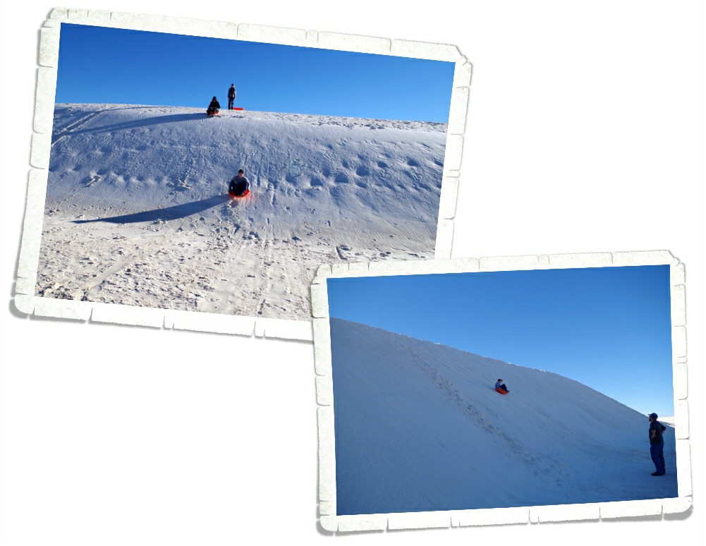
The RV Park we stayed at had sleds we could borrow so we could go sand sledding! Yup, you read that right…sand sledding! If you don’t have your own sleds, the visitor center has them for $10 apiece.

IMGP0996

We had to find the highest sand dune we could to slide down and then we had a contest as to who slid the farthest.

IMGP1005

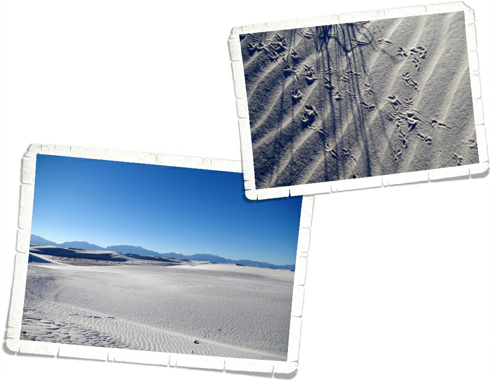
When we got there, the visitor center was packed. It was so bad I had second thoughts about going into the park. I was afraid we’d just be waiting in line to go down the dune. You can see how crowded it was in the picture above. Ha! There was enough room for everyone to spread out and stay out of each other’s way. It was wonderful!

IMGP1014

There’s not much wildlife at this National Park, but we did see a few signs of birds and some tracks we thought were from a kit fox.

IMGP1147

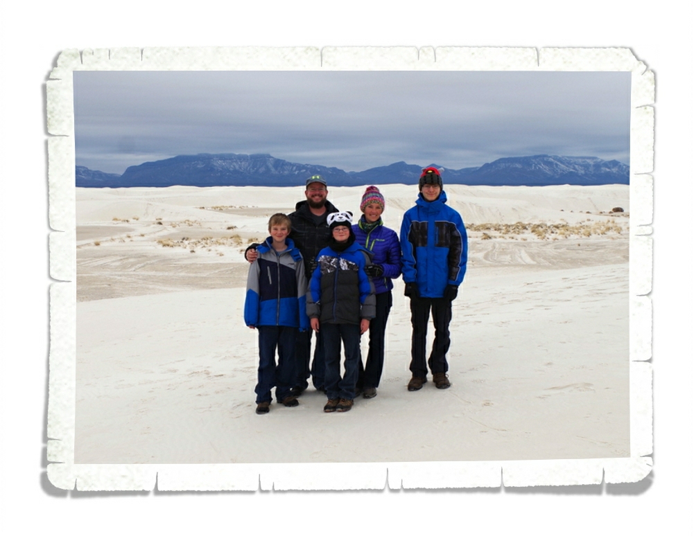
We had the best time at this National Park! There wasn’t a ton of trails to hike and the park isn’t the biggest one or the prettiest we’ve been to, but there were so many opportunities for fun here.

IMGP1031

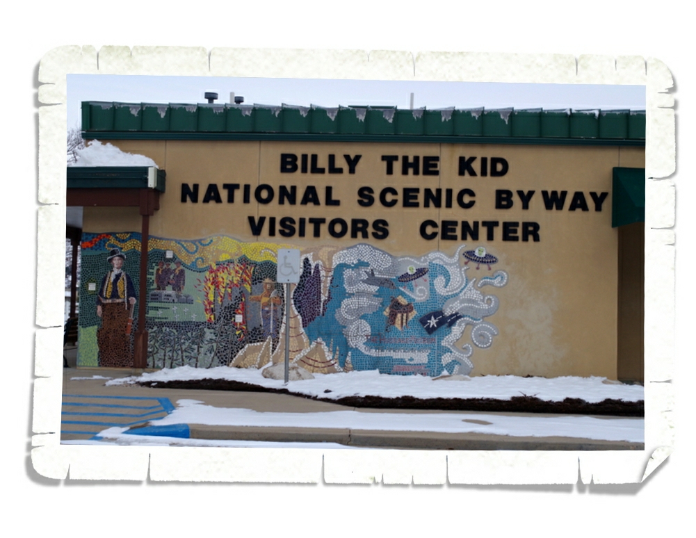
We spent an entire day driving the Billy The Kid National Scenic Byway.

IMGP1034

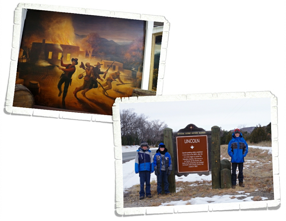
Our first stop on the scenic byway was the Lincoln Historic Site where we learned everything you could possibly want to know about Billy The Kid

IMGP1058

 and the Lincoln County War. I won’t give you an entire history lesson here…but I will tell you I didn’t know the whole story. In a time and place where the law wasn’t really the law, The Kid stood up for what he believed to be right and he paid for it with his life.

IMGP1083

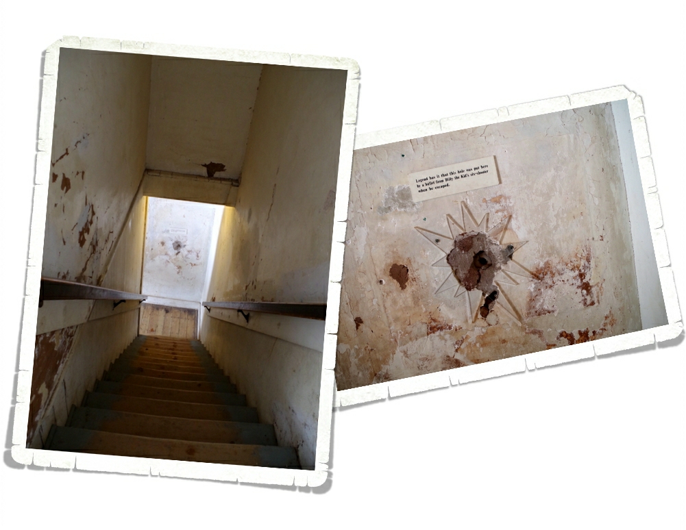
Many of the buildings that were around during the Lincoln County War are still standing. We got to see the Courthouse that Billy escaped from.

IMGP1084

And a hole in the wall that might have been from a bullet Billy fired as he was attempting his famous escape.

IMGP1092

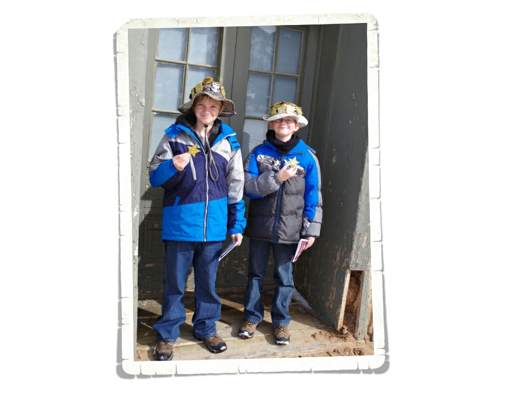
The boys earned probably the coolest badge so far at Lincoln Historic Site. It looks like a Sheriff’s badge.

IMGP1107

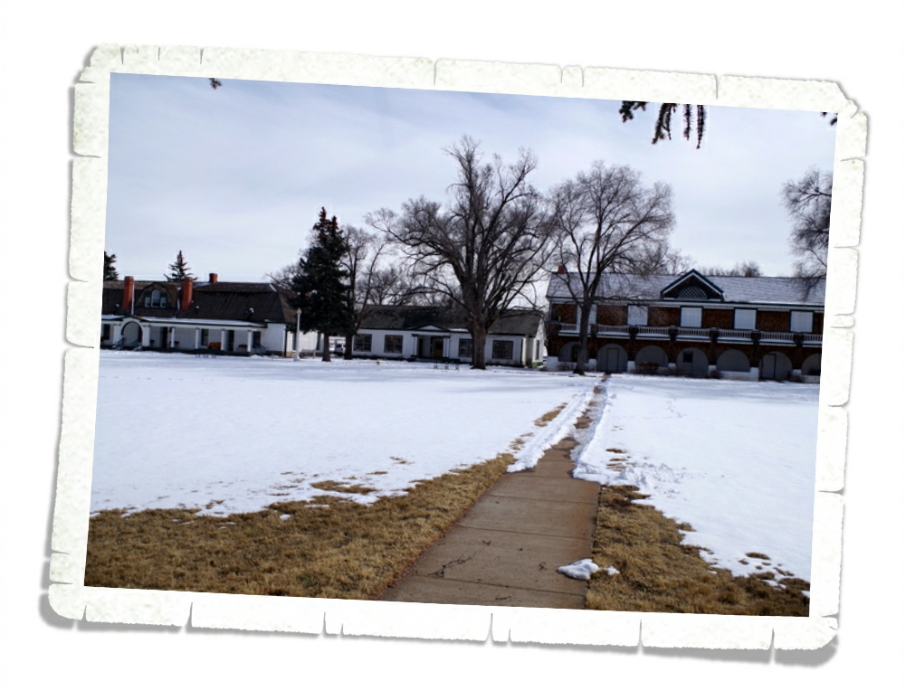
After we left Lincoln, we stopped at Fort Stanton. We saw a short video about the Fort and walked around the grounds. The Fort opened in 1855 and was used for several different purposes through the years until it was designated as a state monument in 2007.
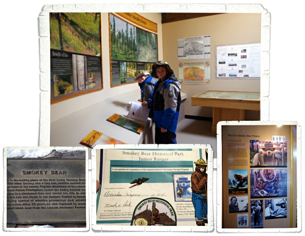
IMGP1115

The next stop on the scenic byway was at Capitan, NM and the Smokey Bear Historical Site.

IMGP1118

The boys had been looking forward to this for a long time. They both are Smokey Bear fans. We spent a couple of hours going through the museum and working on the Junior Ranger booklets.

IMGP1121

We got to see where Smokey is buried.

IMG_2327

This was one of the hardest Junior Ranger booklets they’ve done, but they got some pretty cool S.W.A.G. for their effort! 
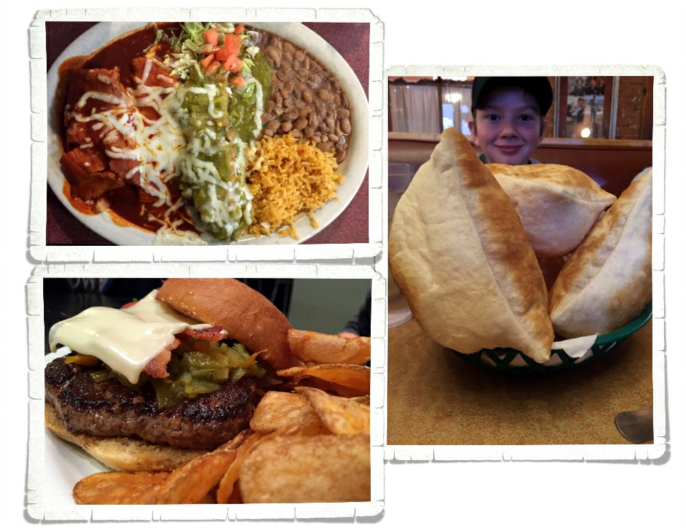
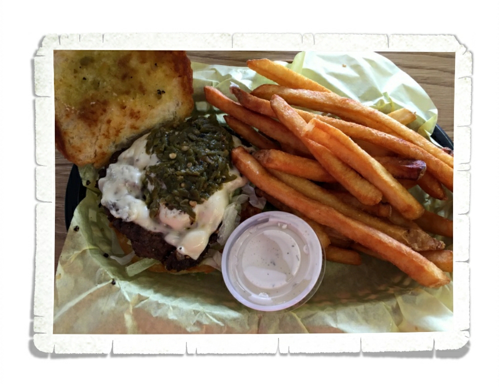
We were starving by the time we made it out of the Smokey Bear Historical Site so we headed for Ruidoso, NM and a burger joint called Hall Of Flame Burger. It was a super good burger, but I didn’t get any pictures. We were that hungry. We, of course, got the green chili cheese burgers, but we couldn’t really taste the green chilies. Beyond that, the burger was top notch. The place was small and packed and we were lucky to get seats.

IMGP1095

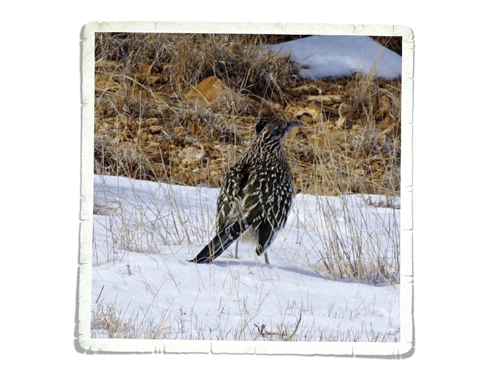
I finally got a picture of a Roadrunner! They are so difficult to get a photo of! Fast little buggers.
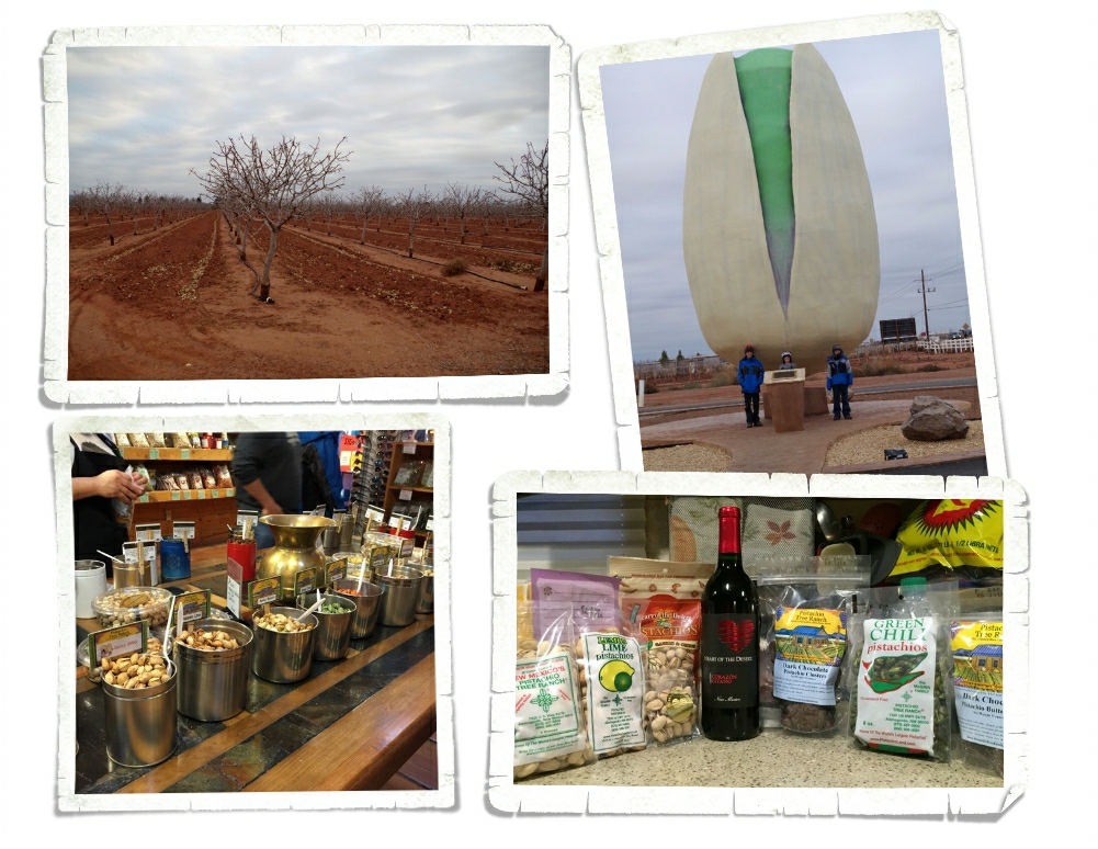
IMGP1192

It’s a pistachio.

IMGP1196

 There were two different pistachio orchards right across the highway from where we stayed. We could see one from our RV and it was constantly busy. So, we thought we should probably check it out. We stopped at both, but our favorite was McGinn’s Pistachio Tree Ranch.

IMG_2348

You could go in and taste pistachios and pecans and…wine! The store smelled heavenly when we walked in and I was super excited to see that they had ice cream! It was a fun way to spend a few hours

IMG_2350

and we walked away with a few purchases!

IMG_2331

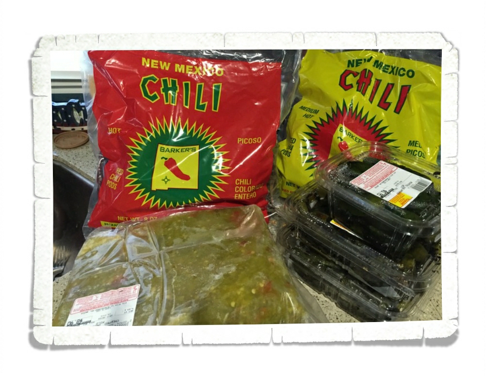
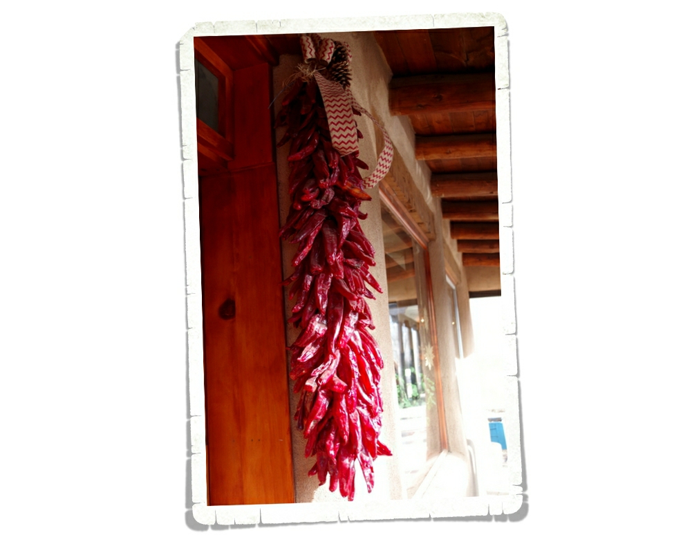
This was our last week in New Mexico and we started panicking about the prospect of no New Mexican chilies…so we stocked up. This isn’t all of what we ended up with, but it’s a good portion of it. And yes, we are already planning a return trip to The Land Of Enchantment…and chilies.

See y’all down the road!

#newmexicochiliaddict

Santa Fe, the City Different

Santa Fe, the City Different

Santa Fe is the only Capital City in the United States that can claim both the oldest Capital City as well as one of the newest Capital Cities. Are you confused? How can it be the oldest and still be considered one of the newest?

IMGP0724

The Palace of the Governors is the oldest capitol. It has been the seat of Spanish, Mexican and American governments over the last 405 years as of 2015. There’s a new Capitol Building and now the Palace of Governors is a museum. In the photo above you can see all of the local artists who gather around the building to sell their crafts. If you want to get an authentically made souvineer, this is the place to come.

IMGP0705

This is the new Capitol Building.

IMGP0704

Every Capitol Building is different. You can get an idea of what’s really important to the city or state by what’s inside. The Santa Fe building has a gorgeous dome. I love the colors.

IMGP0710

The inside of the New Mexico Capitol Building, you’ll find art. Which, might not surprise you when you consider there are over 250 art galleries in just a two-square-mile area in Santa Fe.

IMGP0712

One of our favorite pieces was this buffalo head. It was made with all kinds of spare bits and pieces.

IMGP0796

Before we get too far into this post…let me just go ahead and answer the question that several of you have asked me. Yes, there really are dried chilies hanging everywhere in Santa Fe. Everywhere. Doors, windows, porches, fences…if you can hang something from it, there’s probably chilies there. Inside and outside. Personally, I love it!

IMGP0742

When I planned New Mexico…many, many months ago, I found out about the Loretto Chapel and its “miraculous staircase”.

IMGP0730

The Chapel is no longer a working Chapel, but you can pay to go inside and look around and take all the pictures you want.

IMGP0737

You can see the “miraculous staircase” in the photo above. What makes it so miraculous? It has 33 steps in two full 360° turns. Still unimpressed? How about the fact that it doesn’t have a center support and it’s not held up by side supports either. You can’t actually go on the staircase or touch it. They have it roped off, but you can get close enough to appreciate the craftsmanship and the beauty of it.

IMG_2092

Between the art, spicy food, and chocolate houses…there’s something for everyone here. I’ve never seen so many chocolate houses in one city! Notice the Green Chili Caramels? I told you they put chilies in everything!

IMG_2098

We, of course, had to try several different restaurants in Santa Fe! The plate above is from Posa’s Tamale Factory. We headed there in search of a place to get our Christmas tamales. I got to try my first calabacitas (which turned out to be squash) here.

IMG_2103

Posa’s Tamale Factory has been pumping out tamales since the 1950s. They provide tamales to many of the restaurants and stores in Santa Fe. You can see the packaging area through the glass windows in the photo above.

IMG_2107

The Sopapilla Factory was right across the highway from where we stayed. They had some really good food!

IMG_2192

We kept hearing about Tomasita’s. The food was ok, but we did find the biggest, fluffiest sopapillas we’ve seen so far!

IMG_2143

Another place we kept hearing about is Santa Fe Bite for its green chili cheeseburger. This would be a good time to mention that Santa Fe is the green chili cheeseburger capital of the world. The world. Confession:  Jerl is the only one of us that actually got a green chili cheeseburger here. You can see a pic of it in the photo above. He said it was a great burger, but he couldn’t really taste the green chilies. My advice…go to Blake’s Lottabuger (you can find Blake’s in all the bigger cities in New Mexico). It’s a better burger and is a third the cost.

IMGP0458

We made it up to Los Alamos for an afternoon. If you don’t know Los Alamos, it’s where the Manhattan Project took place.

IMGP0445

We spent several hours learning more about the Manhattan Project at the Bradbury Science Museum. This is a fantastic museum!

IMGP0440

This was another wonderful hands-on museum. It was like spending the afternoon doing science experiments

IMGP0444

and brain teaser puzzles. They had to kick us out of this museum too so they could close. We’re going to have to start going to these places earlier in the day!

IMGP0465

There aren’t many original structures from the Manhattan Project left. There’s a small walking tour you can do, but it was getting dark so we didn’t have time to do it.

IMGP0764

Taos wasn’t on our list, but we kept getting asked if we were going to go there. So, we thought maybe we should. Our visit to Taos took up an entire day. We drove The High Road to Taos then took The Low Road back. It made a nice big loop.

IMGP0770

We visited the San Francisco de Asis Church. We heard that this church is one of the most photographed and painted churches in the world. The outside was different from what we’d seen before.

IMGP0773

It was simply stunning inside. Unfortunately, photos aren’t allowed inside the church so I can’t show you. You’ll just have to go visit it yourself so you can see it!

IMGP0798

Downtown Taos is pretty small. There’s a walking tour of it that we did. Taos kind of reminds me of a small ski village.

IMGP0813

Taos has an elevation of between 7,000 and 8,000 feet. There’s a ski resort not too far away.

IMGP0805

We walked around the Plaza. It was originally a fortified shelter and marketplace.

IMG_2160

It wouldn’t be a true day trip without sampling some local fare…We found ourselves at a place called Orlando’s. It was small and brightly decorated.

IMG_2162

 Not only was Orlando’s the most authentic place we’ve eaten at,

IMG_2155

but it was also the second most expensive place we’ve eaten on this trip. The food was amazing. We finally got to try posolé here and we learned about a third type of chili sauce…caribe! Caribe is totally different from the red and green chili we’ve been having. In the photo above, you can see all three chilies. Red, green, then caribe (on the right).

IMGP0792

You are looking at the Rio Grande Gorge and Bridge. This is the second highest cantilever bridge in the U.S. Towering at 650 feet above the river, the bridge makes quite an impression. You can park at the rest stop and walk out on the bridge and look down into a canyon that would be deeper than the Grand Canyon if it wasn’t filled with so much silt.

IMGP0816

One of the popular things to do in Taos is go to the pueblo. We went, but when we found out it’s $16 a piece to go walk around it…we passed. I’m sure the pueblo is nice, but I’m not going to pay that much to just go walk around it and then have to pay more on top of that for the tour. Maybe if we hadn’t already been to so many other fabulous pueblos…maybe. We saw the teepee above on our way out of town while driving on The Low Road back to our home on wheels. I couldn’t pass up the chance to get a photo of it.

That’s all folks! That’s our time in the Santa Fe area! We will definitely be back to this area at some point!

See y’all down the road!

Santa Fe Area Hiking

Santa Fe Area Hiking

Hey y’all! We stayed in the Santa Fe area for two weeks and managed to squeeze an amazing amount of adventure into our time there. I’m going to break this area up into two different posts. This first post will be about the hiking we did.

IMGP0599

We spent an entire day at Bandelier National Monument! Bandelier is located in the Frijoles (free-HOH-lace) Canyon and the first evidence of habitation goes back 10,000 years.

IMGP0483

We got to see Bandelier covered in snow. It was beautiful! Bandelier, NM is part of the Pajarito Plateau, which was formed by two separate eruptions of the Jemez (HAY-mess) Volcano more than one million years ago. Each of the two eruptions was six hundred times more powerful than the 1980 eruption of Mount St. Helens. Think about that for a minute. Can you imagine how destructive those eruptions were?

IMGP0520

The boys had a great time playing in the snow. It was perfect for snowballs.

IMGP0524

 You’re looking at the village of Tyuonyi (QU-weh-nee). This is just one of several large pueblos located in Bandelier National Monument. This one would have been two stories tall, contained about 400 rooms and housed around 100 people.  Access to this village was by a singular ground-level opening.

IMGP0523

If you’ve been following us along on our journey, you know we’ve gone to quite a few different pueblos. Usually, we don’t get to climb into them. The boys were super excited that at Bandelier, not only do you get to climb the ladders, you get to go inside the pueblo rooms!

IMGP0530

I managed to get all three kiddos to stop climbing around long enough to snap a picture.

IMGP0547

When we got to the park that day we were told the trail to the Alcove House was closed due to icy conditions. We hung out in the Visitor Center while the boys did their Junior Ranger booklets and I asked a couple different Ranger’s about the trail. Before we headed out, we were told we could go ahead and do the Alcove Trail, but to be aware of the ice. The Alcove Trail led us through the woods and across several bridges. It was a wonderful hike through the snowy forest.

IMGP0562

We made it to the Alcove House without trouble and checked out the ladders. They had some ice, but they were in good shape. We climbed up the few very long ladders to ascend 140 ft to the top.

IMGP0569

 At the top is this Kiva (KEE-vah), which was excavated in 1908. They found almost perfectly preserved specimens of red corn and matting. It was all closed up when we got there so we didn’t get to see inside.

IMGP0609

There’s a separate section of Bandelier National Monument you have to drive to. On our way there we stopped at the Whiterock Canyon scenic overlook.

IMGP0610

The view was stellar!

IMGP0633

The Tsankawi (sank-ah-WEE) unit of the Bandelier National Monument is just as good as the main unit. It’s a loop trail that takes you up a couple of ladders to a lower and upper cliff.

IMGP0629

Tsankawi is located on the Pajarito (pa-ha-REE-toe) Plateau and was home to the Ancestral Tewa Pueblo people during the 1400s. When the Jemez Volcano erupted over a million years ago, this land was covered in thick layers of volcanic ash. Over the years, the ash was compacted and formed rock known as tuff. Tuff is a soft stone so it was perfect for the ancient peoples to carve out their homes in. The softness of the rock is also what caused the paths to be worn down. In the photo above, you can see the path we followed while in Tsankawi. These paths weren’t’ carved out, they were worn down by the 1000s of times people walked the same path.

IMGP0636

The view from the upper cliff was fantastic.

IMGP0650

You can see where people have placed their feet over the years to get back down the ladder.

IMGP0655

 The village of Tsankawi contains about 275 rooms. Some of the structures here were two story. The cave rooms, like the one above, is called a cavate (CAVE-eight). These rooms were usually plastered in some kind of mud mixture and painted while the ceilings were blackened by smoke. Smoking the ceilings hardened the volcanic tuff and made the tuff less crumbly.

IMGP0684

We were climbing down the last ladder as the sun started to disappear. It was a long full day. We highly recommend Bandelier National Monument to anyone who will be in the Santa Fe area!

IMGP0818

We also had a fantastic day exploring the Kasha-Katuwe Tent Rocks National Monument. While it’s designated a National Monument, the National Park Service doesn’t take care of this park. It’s taken managed by the Bureau of Land Management.

IMGP0827

When we started our trip back in May of this year (2015), I would have probably hated this hike. I preferred the nice neat paths. Oh, how times have changed. I’ve come to realize that if you want the big scenic payoff, you have to work for it. Now, our favorite trails are the ones that are more…primitive…with some scrambling.

IMGP0836

We scrambled over, through,

IMGP0861

around,

IMGP0902

and under…it was awesome!

IMGP0845

This trail takes you a mile and a half through a slot canyon made out of volcanic tuff and carved from flash floods over the years.
IMGP0886

At the end of the slot canyon, the trail climbs a steep 630 feet up to the mesa top. In the photo above, you can see part of the steep climb up…notice it’s covered in snow and ice. It made for a very interesting trek.

IMGP0864

The Kasha-Katuwe Tent Rocks National Monument was designated in 2001 to protect the unique geological landscape known for its light colored, cone shaped tent rock formations that are the result of the big volcanic eruptions we talked about earlier in this post. The tuff, ash, and pumice from the eruptions were over 1,000 feet thick.

IMGP0872

Here’s the view from the top.

IMGP0935

Kasha-Katuwe means “white cliffs” in the traditional Keresan language. You can see in the picture above how they look white.

We had a wonderful time doing a few of the many hikes in the area. We were bummed we didn’t have time to fit more in, but that just gives us a reason to come back to the Santa Fe area again!

See y’all down the road!

Pizza Roundup Back Road Pizza

Pizza Roundup Back Road Pizza

IMG_2215

Back Road Pizza is a super tasty pizza place in Santa Fe, New Mexico!

IMG_2226

You can get sandwiches, salads, calzones, and pizza.

IMG_2220The decor was cool. The staff designed and painted the pizza pans (I think that makes it even better).

IMG_2227

There were pool tables upstairs you could play.

IMG_2223

Being in New Mexico, you can even get green chilies on your pizza and I highly recommend it!

The bathrooms are clean and the staff were all really nice. Back Road Pizza totally gets a 5 star review!

IMG_2373

I liked it so much I had to get a shirt from there. The shirt is too big, but that’s OK because I can wear it over my sweatshirt!

                           See you next time on

                          Pizza Street!