Category: National Park

Death Valley National Park

Death Valley National Park

IMGP6706

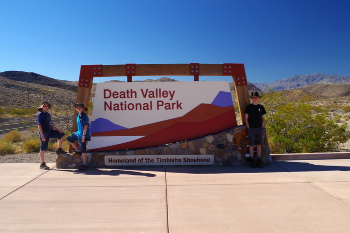
Hottest, Driest, Lowest…Welcome to Death Valley National Park! Situated on the California/Nevada border, Death Valley is known for it’s extremes and oddities. We spent one whole day and four partial days exploring DVNP. Near mile marker 10 as you drive into DVNP from Beatty, NV you get to experience what they call Hell’s Gate. You can roll down your windows and stick your hand out the window and feel the temp outside raise by 10 to 20 degrees within a 3 mile stretch of road.

IMGP6628

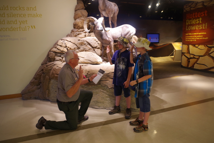
We like to stop at the Visitor Center first to get up-to-date info on the park. While we were there the little boys took the opportunity to grab another Junior Ranger Badge. We were lucky they were still doing the summer program and they were able to fulfill all the requirements in the air conditioned center.

IMGP6629

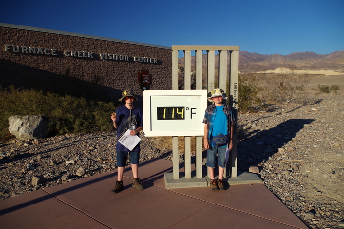
Outside the Furnace Creek Visitor Center was a tad bit hot. Just a bit.

IMGP6643

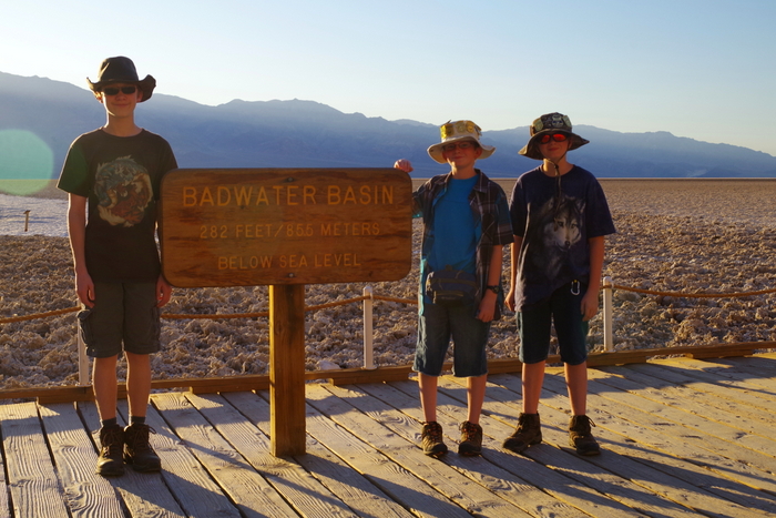
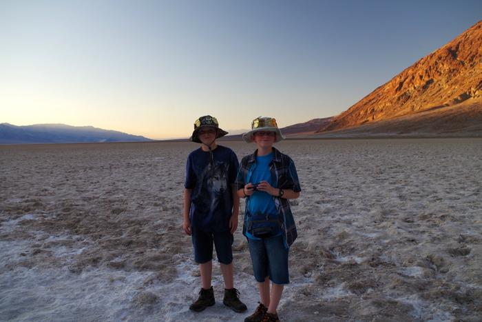
We visited Badwater Basin and stood 282 feet below sea level.

IMGP6648

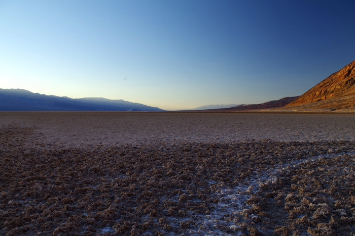
Badwater expands clear across the valley floor to the base of the Panamint Range. It’s quite something to stand out there and see the seemingly endless salt flats stretch out all around you.

IMGP6652

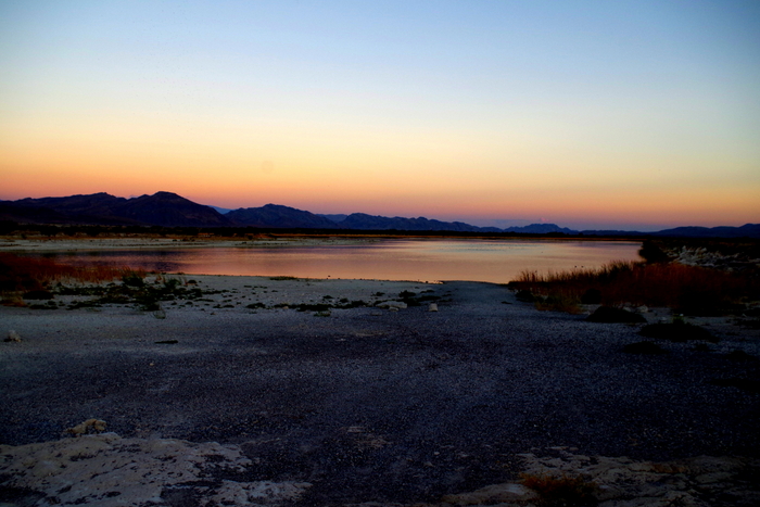
We got to Badwater just before sunset and we watched as the sun dipped below the mountains. The heat in the valley instantly felt cooler. It’s quite something to look up into the Amargosa Mountains and see a “Sea Level” sign a few hundred feet above the ground.

IMGP6711

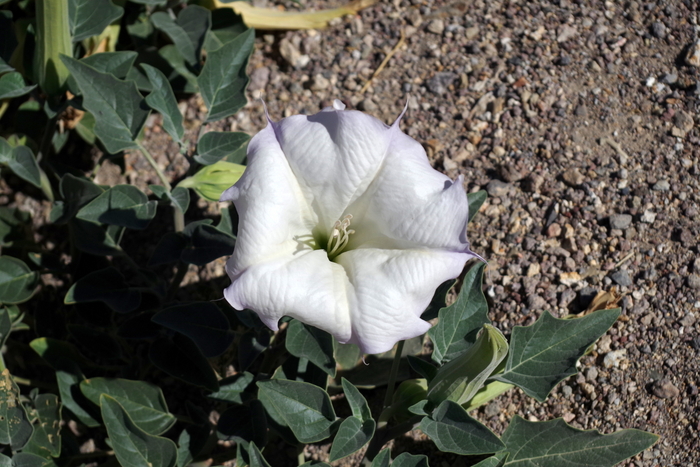
Can you believe I even found flowers in the desert? They were gorgeous and something I’d never seen before. I probably took a dozen pictures of the same cluster of flowers.

IMGP6715

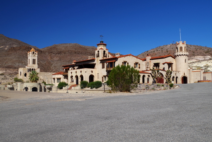
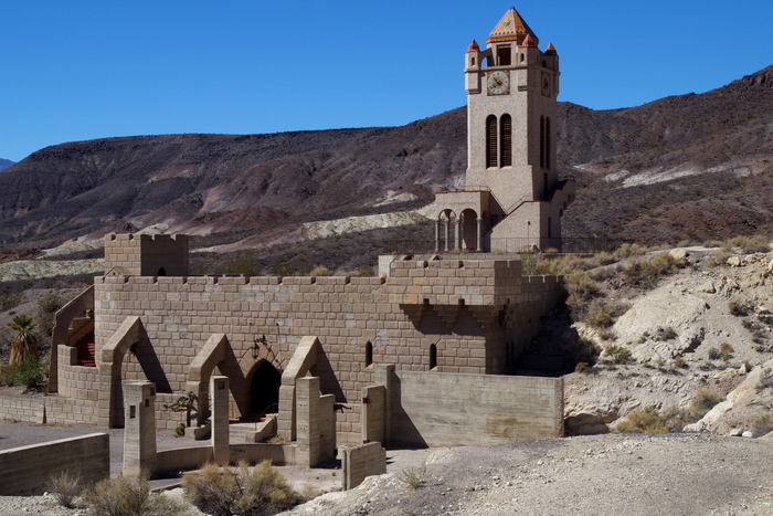
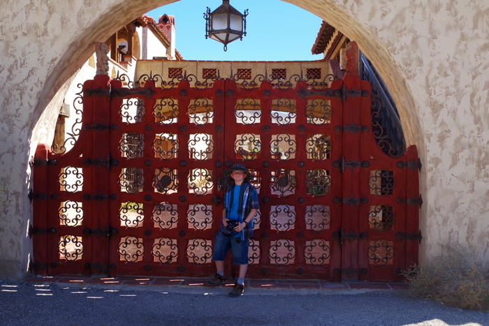
Day two started with a castle. Scotty’s Castle. Walter Scott was a popular entertainer in Buffalo Bill’s “Wild West” show before he became known as Death Valley Scotty. He told tall tales of gold, took peoples money, then he spent it all on everything but mining for the promised gold. One of Scotty’s investors, Albert Johnson, found out about the dupe. Instead of being mad Johnson became friends with Scotty and even built the castle you see in the pic above in DVNP where Scotty was a regular visitor.

IMGP6741

There are tours you can take of the inside, but we didn’t. We spent about an hour just roaming around the grounds.

IMGP6757

Scotty’s Castle is unlike anything we’d seen. It seemed to fit perfectly with the desert it was built in.

IMGP6717

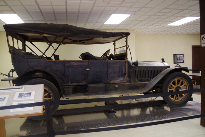
In the visitor center at Scotty’s Castle, you can see a 1914 Packard seven passenger touring car. This is the way people used to get around DVNP.

IMGP6820

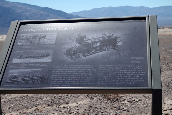
Down the road, you can even see faint tracks left from the tour cars. If you look just under the sign in the photo above, you’ll see two tracks left over from a tour car.

IMGP6844

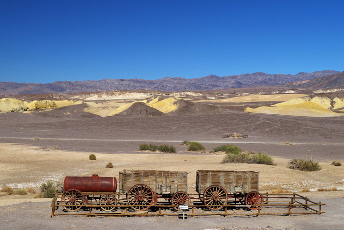
The Harmony Borax Interpretive Trail was short and hot. It told of life in DV for the borax miners and the twenty mule teams they used to pull carts around.

IMGP6874

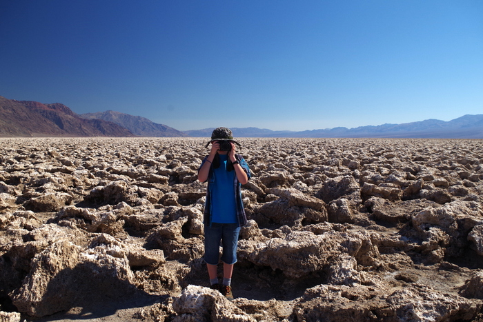
After a quick picnic, we made it to The Devil’s Golf Course. Littlest thought he was being funny, taking a picture of me as I took a picture of him. At The Devil’s Golf Course, crystallized minerals reacting with groundwater have lifted themselves into tightly packed ridges reaching up to two feet high.

IMGP6891

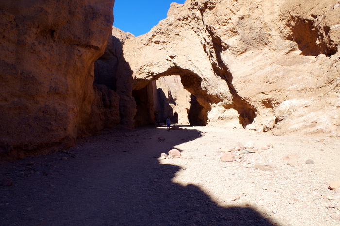
We walked the quarter mile trail to Natural Bridge. It was late afternoon and temps were soaring.  We tried to stay in the shade as much as possible.  As hot as it was in the sun (we could feel the sting of the sun on our skin), it wasn’t too bad in the shade.

IMGP6918

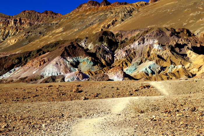
Artist’s Drive is one of my favorites in DVNP. We actually drove it twice because the first time was just after the sun set and we wanted to see the color in full sun. You can see Artist’s Pallet in the photo above.

IMGP6948

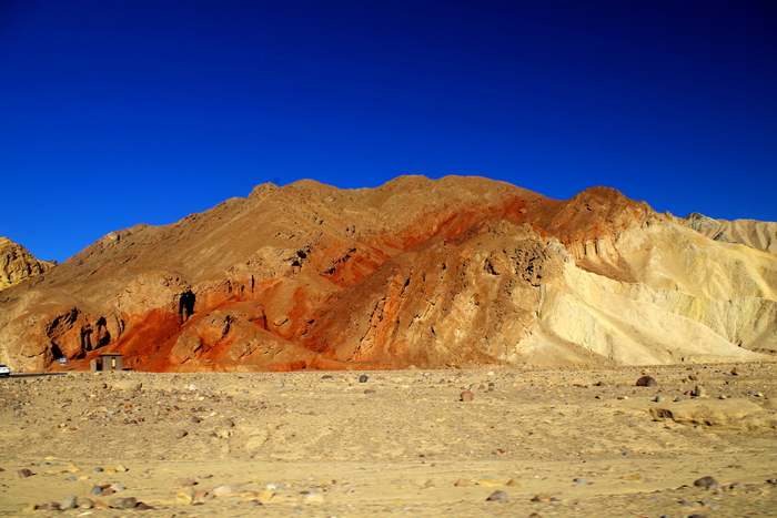
The colors of the desert were amazingly vivid. I took more pictures than I will ever need.

IMGP6978

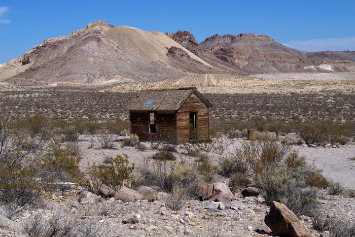
We had the chance to explore not one but two ghost towns! The easiest to get to was Rhyolite. You can see one of the abandoned houses in the photo above.

IMGP6983

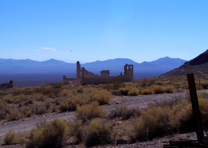
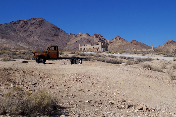
We walked past several crumbling buildings.

IMGP7009

It’s kind of sad, really. To think of the families that used to live there and the hardships they must have gone through. Several buildings from Rhyolite were moved to the nearby town of Beatty.

IMGP7032

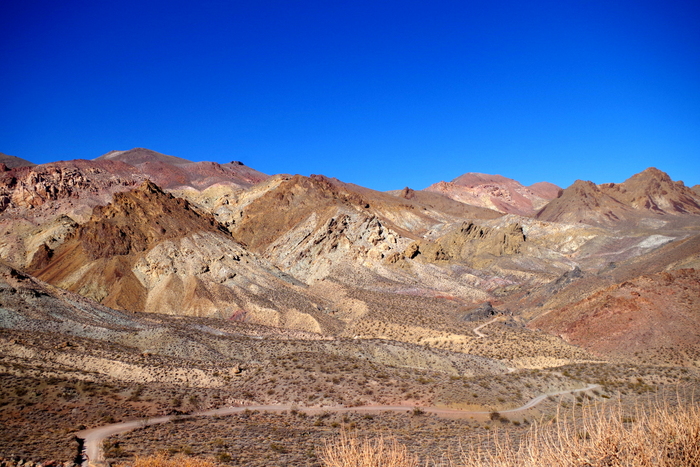
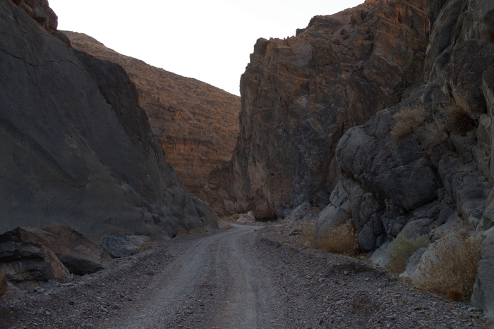
We spent almost four hours navigating the Titus Canyon drive. It’s a one way 26.8 mile dirt road that winds it’s way through the Grapevine Mountains, past a ghost town, and through Titus Canyon.

IMGP7042

The vistas were simply amazing. You can see our winding road in the pic above.

IMGP7061

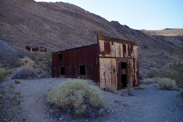
The second ghost town was called Leadville. 300 people lived here between August 1926 and February 1927. There’s a spot you can pull of the road and walk around the ruins. We wandered around for a bit and headed on down the road. We were racing the sun. I didn’t want to be on the narrow dirt road in the dark.

IMGP7068

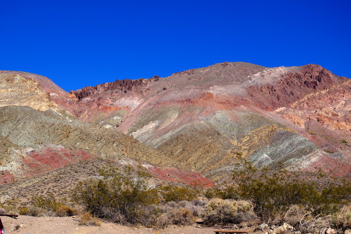
Here’s another shot of the wonderful colors of the desert. We’d just left Leadville when we came upon this sight.

IMGP7077

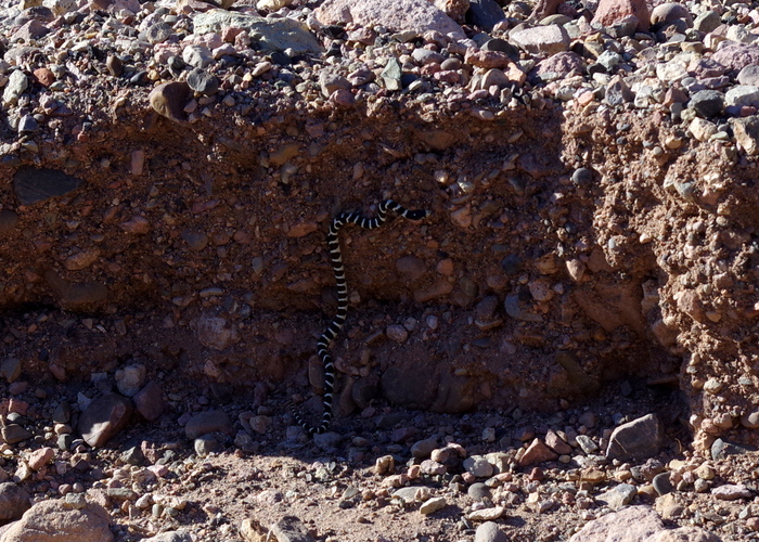
We spotted our first snake. It was small and fast as it slithered it’s way across the road and up the side.

IMGP7100

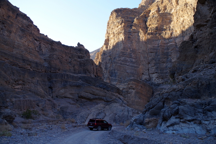
Titus Canyon with it’s limestone cliffs.

IMGP7103

We could try to tell you how tall the canyon walls are…but you know what they say…”a picture’s worth a thousand words”.  The last 1.5 miles of the canyon are pretty narrow, in some places the walls are less than 20 feet apart.

IMGP7112

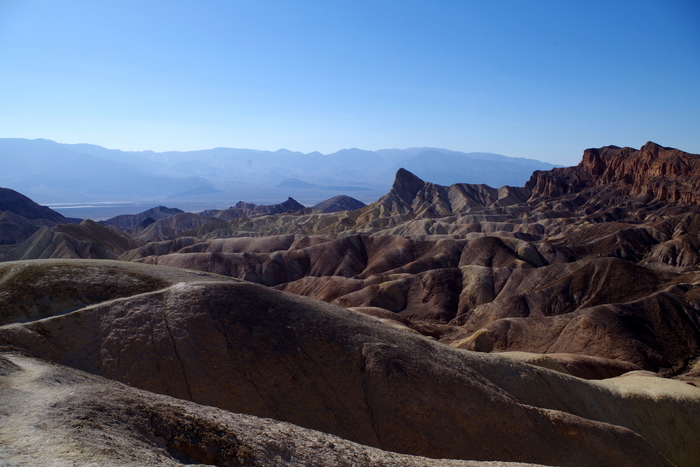
On our last afternoon we headed to Zabriskie Point. There’s a short walk up a paved path to get to the view.

IMGP7116

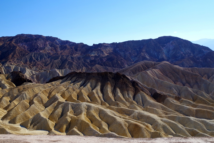
The point was nice…but this two tone formation was more interesting to me.

IMGP7126

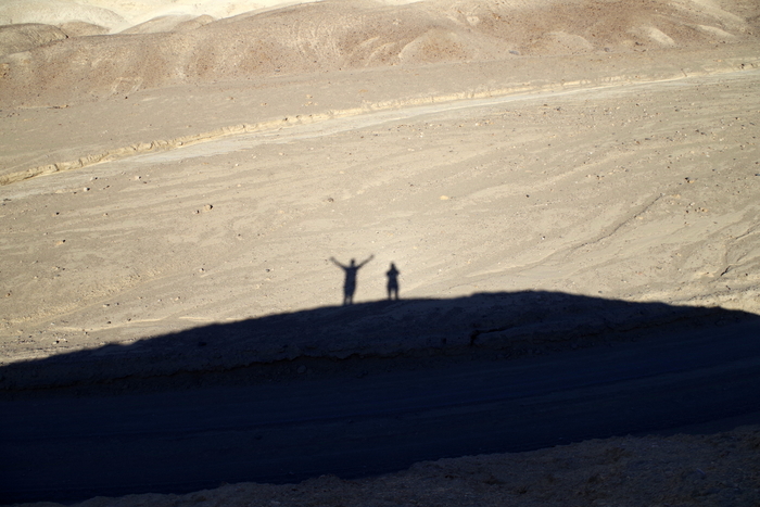
We drove through Twenty Mule Team Canyon on another dirt road. It was short and we took the time to climb up on a small rock to play with shadows. The boys thought it was too hot to get out so they waited in the car…I think they’d had all of DVNP that they could handle.

IMGP7145

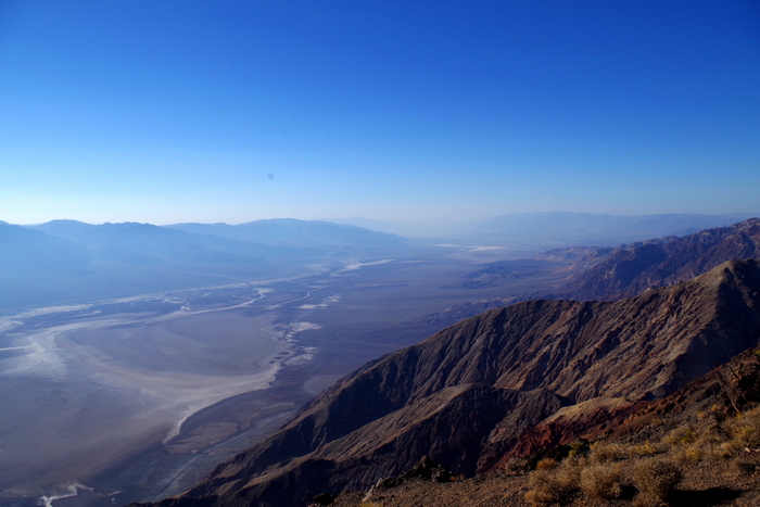
Our last stop in DVNP was atop Dante’s View. You can see Badwater Basin in all its glory.

On our ride back to the RV one evening, we stopped at Ash Meadows for a super quick drive through. Ash Meadows is a National Wildlife Refuge that covers over 23,000 acres of spring-fed wetlands in the middle of a desert.

IMGP7172

We were losing light fast so we didn’t get to see much, but what we saw was really pretty.

 See y’all down the road!

Washington

Washington

We stayed in Washington for two weeks. We only did two things on our Washington list, but that’s ok…these two weeks were more about catching our breath after the long Alaskan Summer and the super long drive days through Canada to get back to the lower 48. We needed decompression time and we needed to get some maintenance/repairs done on the RV. The first thing we did once we crossed the US/Canadian border (after finding a spot for the night) was get some dinner. I don’t remember what the name of this place was…it was in Lynden, WA and it was good ole’ American food with good ole’ American prices!

IMG_1209

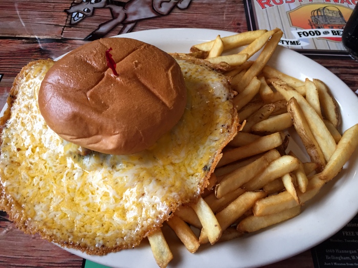
I think this burger was called the There Can Never Be Too Much Cheese burger. It was amazingly good. We all got different things to eat, but I didn’t get pictures of anyone’s other than mine…we were too hungry and too tired to think of it.

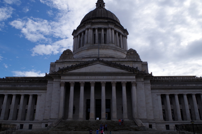
The next day we headed to Olympia to check out the State Capitol Building.

IMGP5831

It was very majestic, but then again…I do love the dome buildings with all of the columns.

IMGP5813

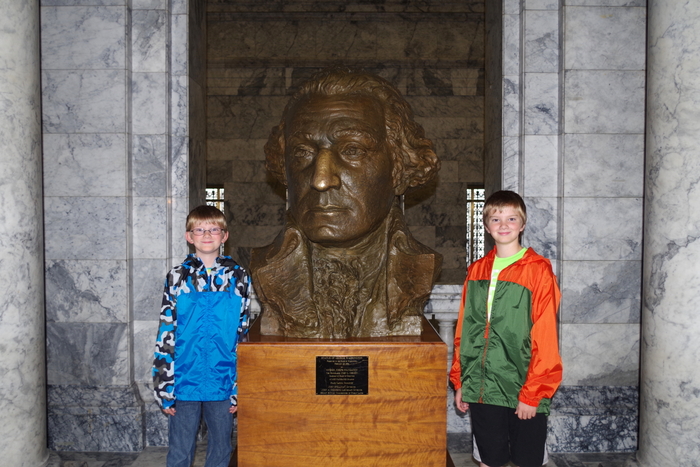
We didn’t know until later that it’s supposed to be good luck to have your picture taken with this bust of Washington. The Little Boys are always up for being my models.

IMGP5852

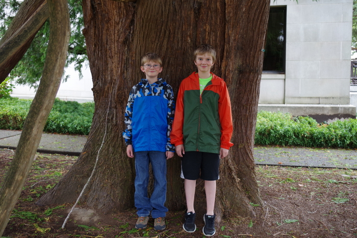
We found this huge tree right next to the Capitol Building.

IMGP5863

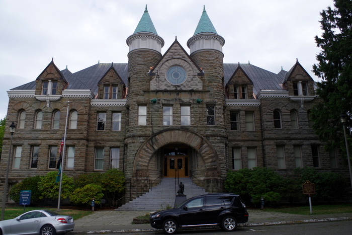
We found the original Capitol Building called “The Castle”.  I believe it’s aptly named.

IMGP5918

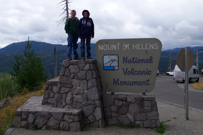
This year (2015) commemorates the 35th Anniversary of the May 18, 1980 eruption of Mount St. Helens. We spent two days exploring Mount St. Helens National Volcanic Monument. There are three sides of the volcano that you can explore and we hit things on all three sides.

map

The day we did the Johnston Ridge Observatory side of the volcano was rainy and cold.

IMGP5878

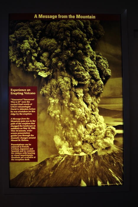
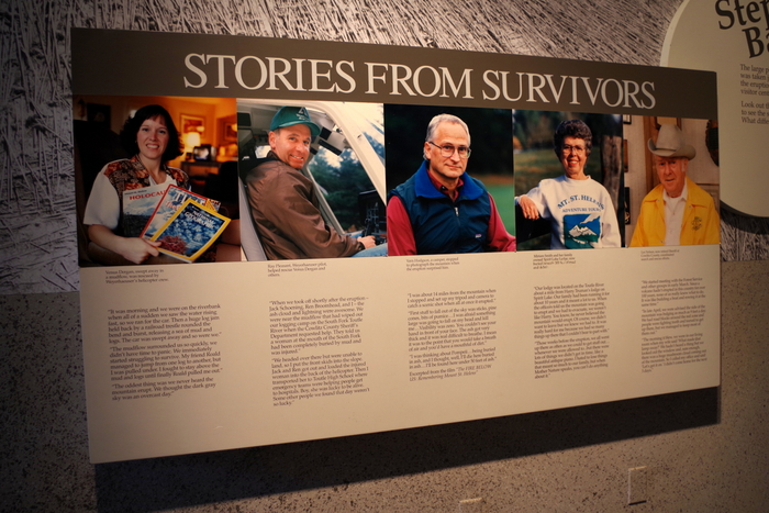
We started with the Forest Learning Center where we got our first real look at what happened the day Mount St. Helens blew her top. The Center had a short video to watch that had actual footage of that day shot by a cameraman who was close to the blast zone but not right in it. We were able to read stories from the survivors.

IMGP5882

IMGP5883

IMGP5884

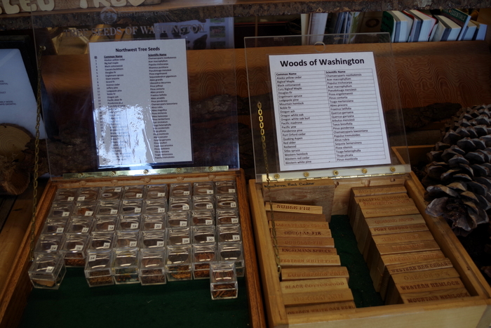
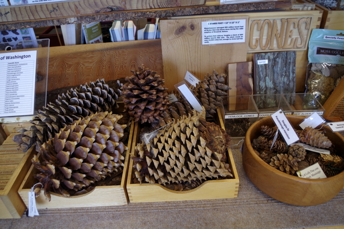
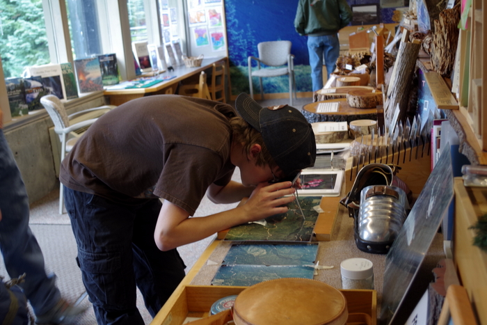
We spent quite a bit of time in the Discovery Room at the Forest Learning Center. I love it when there are things for the kids to pick up. We learned a lot that day about the forests of Washington in general.

IMGP5888

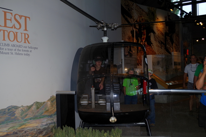
There was an actual helicopter at TFC that the boys could sit in and push all the buttons. They’re expert button pushers…

IMGP5949

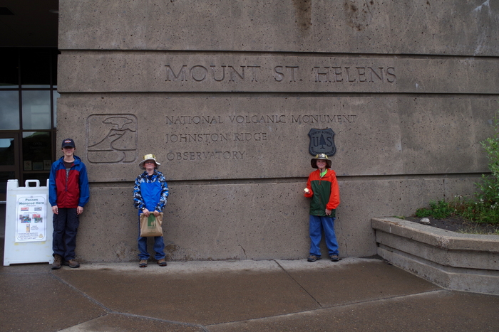
The Johnston Ridge Observatory is at the end of this road. We spent a good deal of time here exploring some of the hiking paths and listening to a Ranger Talk. The boys completed another Junior Ranger Program and got their eleventh badge.

IMGP5913

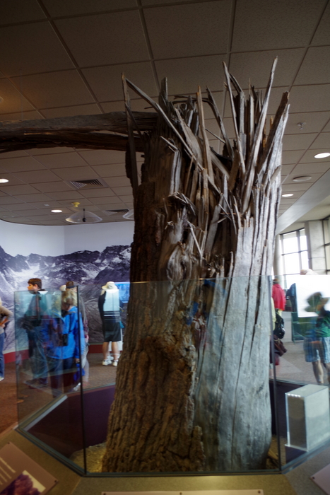
This is an actual tree. They’ve moved it into the Observatory. There’s a plaque that talks about how the force of the blast snapped trees like matchsticks.

IMGP5920

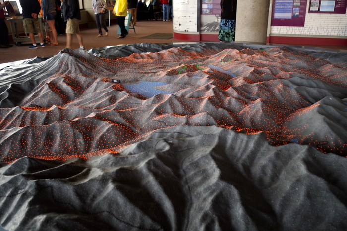
There’s also this really nice 3D model that explains what happened during the May 1980 eruption. There are colored lights that turn on and off as a recording explains the different stages of the blast.

IMGP5939

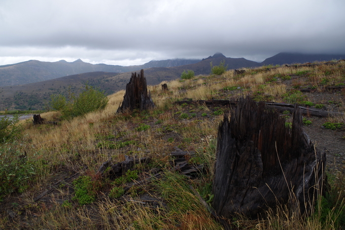
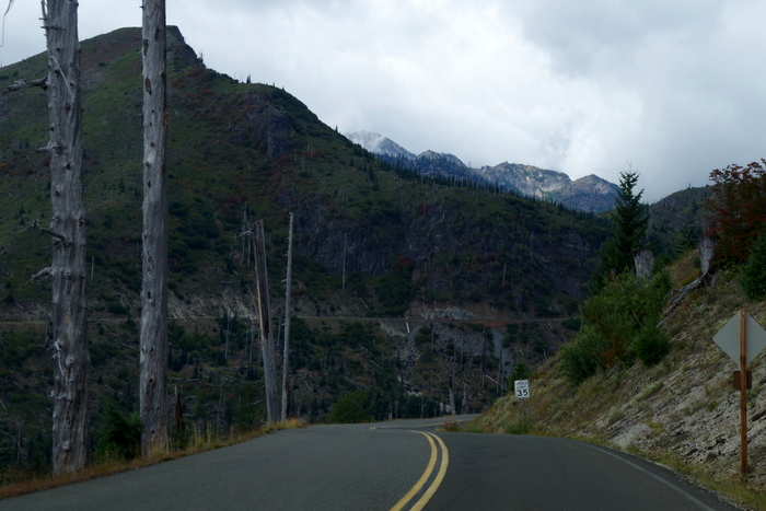
You don’t need a sign to tell you that you’ve entered the blast zone…you can tell. It’s still obvious 35 years later.

IMGP5945

The forests around Mount St. Helens National Volcanic Monument were replanted and helped along, but the land within the Monument has been (for the most part) left alone so that scientist can see how nature takes it’s course.

IMGP5956

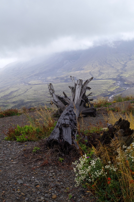
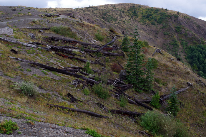
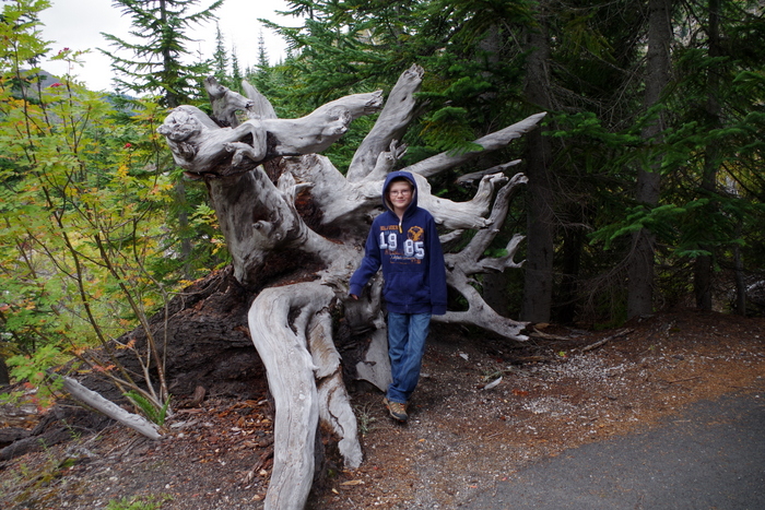
Because of this you can see trees laying right where they fell on that day back in 1980.

IMGP5955

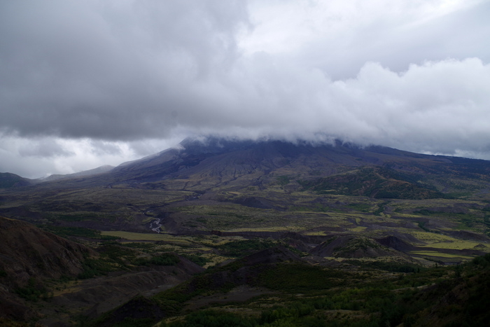
This was the best view we got of Mount St. Helens that day.

IMGP5962

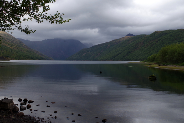
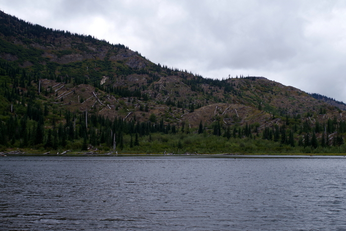
Some lakes, like the one above, were made because of the 1980 eruption.

IMGP6024

The next weekend we went to the other two sides of Mount St. Helens. While I enjoyed the Johnston Ridge side, I like the other two sides better. There aren’t any big visitor centers like over at Johnston Ridge, but there are more scenic views and trails with interpretive signs.

 IMGP6030This area is right at the edge of the blast zone. Not all of the trees were knocked over, but all of them were killed by the heat of the blast.

IMGP6044

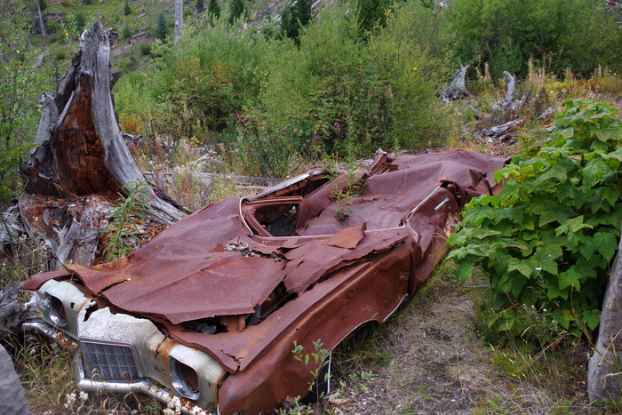
In the photo above you’ll see what they call Miner’s Car. The Pontiac belonged to a family who hiked to the Black Rock copper mine claim, about 8 miles from Mount St. Helens. On the morning of the eruption, Mount St. Helens released a 300 mph lateral blast of searing gas, ash, and rock that flattened the forest and took the lives of the family. The NP leaves the car where it is to remind people of the 57 people who lost their lives.

IMGP6056

At the Meta Lake site, there’s a small trail down to the water. All along the trail are reminders of what happened.

IMGP6057

Meta Lake was protected by a cover of mushy snow and ice when the blast came. The layer of snow and ice protected the small plants, bugs, and animals burrowed under it and by the next summer signs of life started returning to the mountain.

IMGP6070

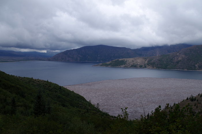
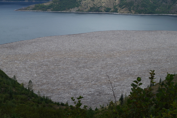
In a matter of seconds, the May 1980 eruption destroyed cabins, camps, and forests. The mud slide that came down the mountain plunged into Spirit Lake (seen above) causing the surface of the water to raise 200 feet and submerge the sites.

IMGP6072

With the mudslide came thousands of trees felled by the blast. You can still see them on Spirit Lake. There are signs up warning people not to try to walk on them because they’ll plunge to the bottom.

IMGP6110

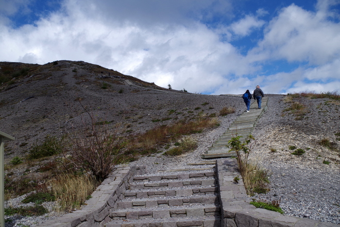
At the Windy Ridge Interpretive Site, you can walk up the nearly 400 stairs (yes, we counted) to get a view of Spirit Lake and the Crater of Mount St. Helens.

IMGP6104

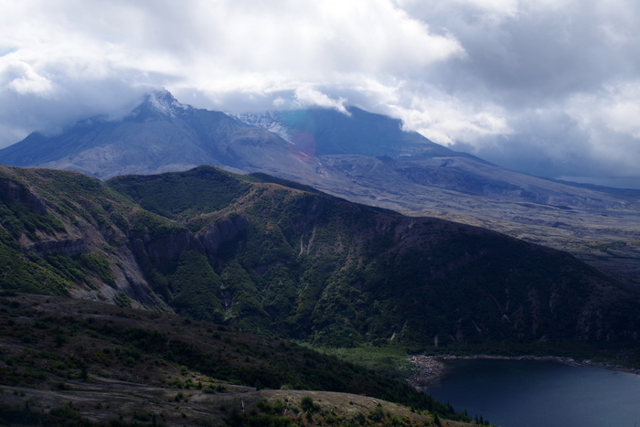
It was cloudy this day too, but we got to see a little of the top and some of the glacier inside.

IMGP6111

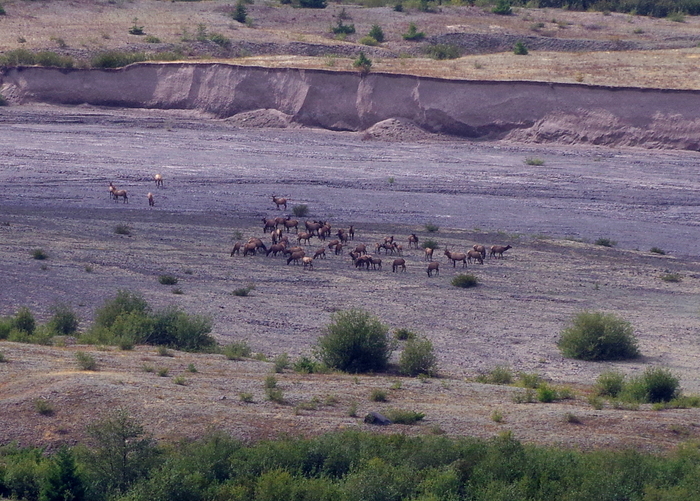
We sat in our car after climbing all of those stairs and had lunch. There was a big herd of Roosevelt Elk to watch while we ate. Elk were one of the first animals to come back to the mountain after the blast.

IMGP6120

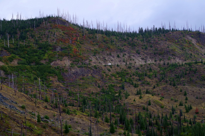
Here’s another picture of the edge of the blast zone and all of the dead trees still standing. If you look really closely toward the middle of the photo above, you can see an RV on the road. It kind of gives you a good idea of the size of the mountain.

IMGP6158

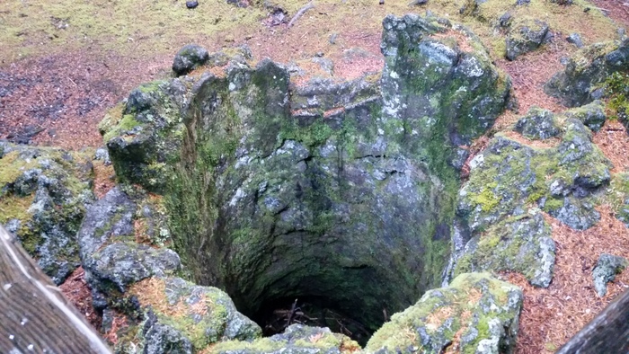
Our next stop was Ape Cave. Ape Cave is a lava tube that was formed about 1,900 years ago. Ape Cave marks an unusual part of Mount St. Helen’s eruptive history. It was the only time in it’s 300,000 year existence the volcano erupted red, hot flowing lava (like what you can see in Hawaii).  Mount St. Helen’s lava is thicker and doesn’t run…it’s more of an ooze.

IMGP6163

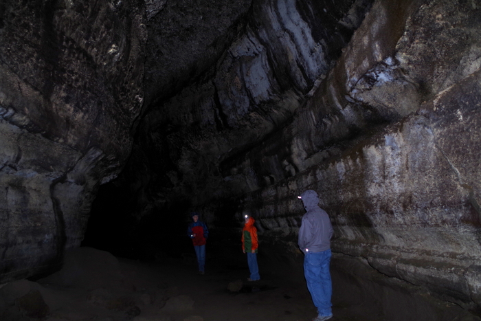
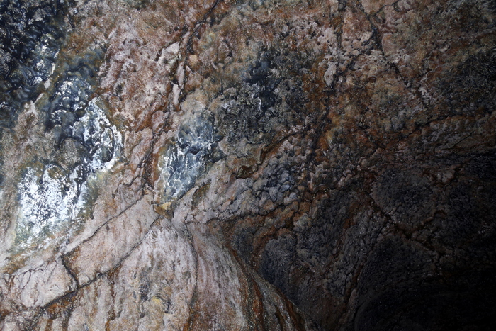
Can you see the white stuff in the picture above? That is mold. Fungus. And it’s apparently really important to the cave. We saw signs not to touch it because it takes a long time to grow back. Ape Cave is the third longest lava tube in North America. It has a constant temp of 42°F and is pitch black. Complete and total darkness. We had planned ahead and brought some flashlights and some headlamps. We saw people walking around with just small dingy lights though. I wouldn’t suggest that…the floor isn’t smooth…it was made from lava and if you fall you can slice your hand open.

IMGP6172

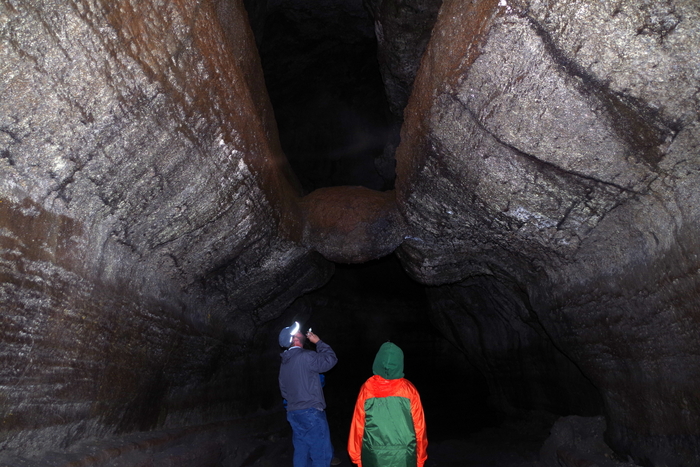
In the photo above, you will see Jerl and Alex looking at “The Meatball”. Yup. The Meatball. What the heck is The Meatball? Well, it a chunk of round lava that fell from the ceiling while lava was still flowing through the cave. The chunk floated on the surface of the lava and was carried downstream until it got wedged in the narrow spot you can see it in today.

IMGP6192

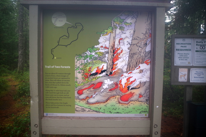
I didn’t really know what to expect with The Trail of Two Forests. When we got there, it was raining and we were the only people silly enough to still hike it. But it was on a boardwalk, so it wasn’t bad at all. At the Trail of Two Forests you get to walk among casts of old-growth trees buried by lava 1,900 years ago during one of Mount St. Helens previous eruptions.

20150905_184740

In the photo above you can see a tree cast or mold. The lava would flow around the tree and catch the trees on fire and then the trees would burn up. Over time, the charcoal left by the burning tree erodes away leaving behind a cast or mold of the tree. There’s a set of these molds that make a tunnel called “The Crawl” where you can actually crawl through the tunnel to an exit.

20150905_185209

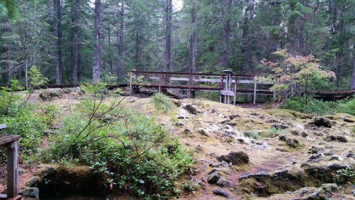
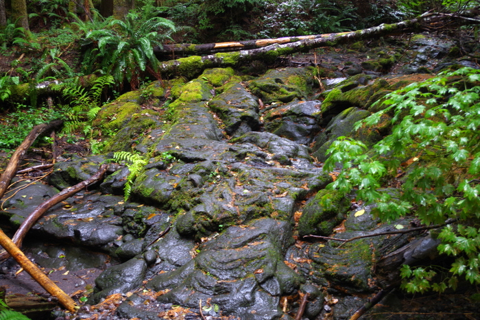
You can see the lava bed all around the ancient forest.

IMGP6144

It’s really pretty neat. We only had two days to explore this area. I would have loved to spend another two so we could’ve taken our time and done a few more hikes. I wanted to do the Lava Canyon hike, but we didn’t make it there this time. Luckily, we’ll be back to Washington to do the rest of the stuff on our list!

IMGP6005

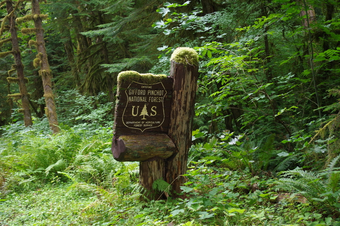
We drove in and out of the Gifford Pinchot National Forest during our Mount St. Helens explorations. I had to get a shot of this sign so y’all could see how the moss grows on everything in this part of Washington. It’s really everywhere. We’d originally planned on staying in Washington for a month or more to do our entire list for the WA state, but after Alaska…we were kind of done with cool, wet, and green. So, we decided to head South for the winter.

IMGP5988

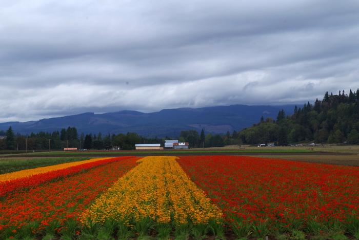
I wanted to share the only splash of color in the sea of green… This was a flower farm. I’m hoping to make it back to Washington in the Spring to see all of the tulips!

See y’all down the road!!

Denali

Denali

This post is picture heavy and long. I tried to weed out some of the pics, but when I’m talking about Denali National Park…it’s hard to choose which photos should be left out. I’ve been looking forward to Denali ever since we decided we were coming to Alaska.
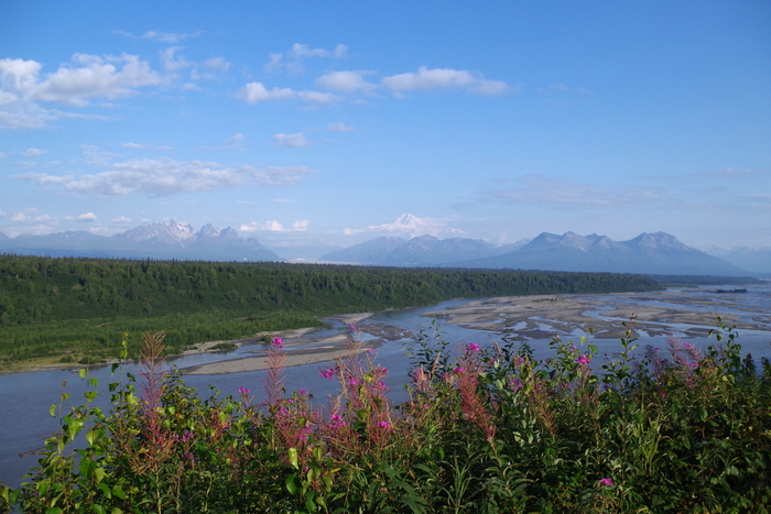
IMGP4661

On the way to the Denali area from Talkeetna we stopped back by the South Denali Viewpoint because it was a gloriously clear day.
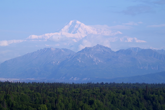
IMGP4657

Everyone keeps saying how only 30% of the visitors ever actually get to lay eyes on Denali (Mt. McKinley). We’ve been fortunate enough to see her on several days.
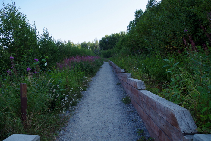
IMGP4662

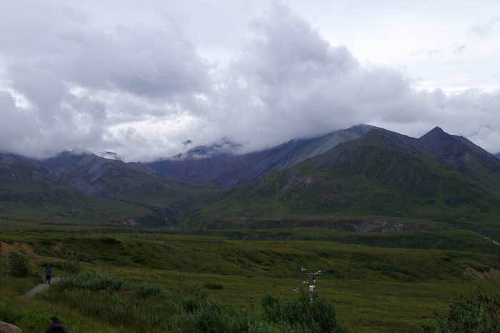
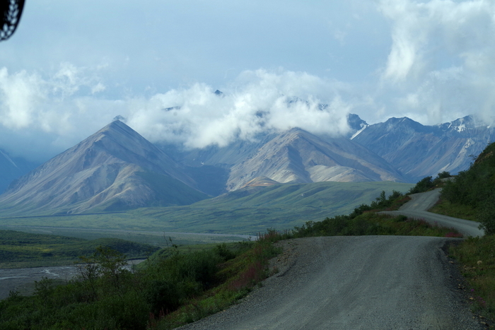
Denali Viewpoint South is laid out kind of weird. There is the main viewing area which has a pretty good view, but with a few trees that are starting to grow big enough to hinder your view. But, then there is this unmarked side path that leads to an even better view. You can see it at the top of this post. It was odd that the trail wasn’t marked. Seventy-five percent of the people there never went up the path, which is sad because the view was so much better.
IMGP4663

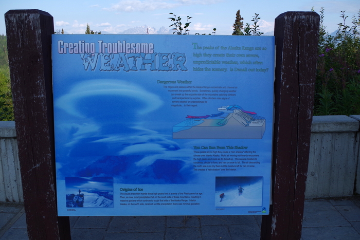
There were also some great informational boards that talked about how the Alaska Range makes its own weather. While we were in Denali NP, our shuttle bus driver actually told us there was a funnel cloud spotted in the park three days before we got there. I would never have considered Alaska to be a tornado state.
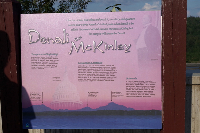
IMGP4665There’s also a big debate as to what the mountain should be called. All of the locals call it Denali, but most of the NP staff call it Mt. McKinley. The argument is that the mountain has been called Denali for thousands of years by the Athabaskan Tribes and it should never have been renamed…especially after someone who isn’t even from Alaska. I can kind of see their point.
IMGP4935

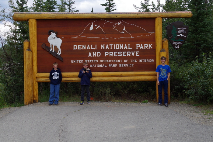
We finally made it to the park! Denali means the “High One” in the Athabascan language. In 1897 Denali was renamed Mt. McKinley in honor of President William McKinley, but the renaming has always been a topic of controversy. Denali tops the scale at 20,320 feet as of this year, but the mountain is still growing almost an inch a year! There are four Visitor Centers in the Park, but you have to shuttle into the park to get to two of them.  What you might be surprised to know is that there really aren’t many hiking trails within the park. There are a few in the first 15 miles but after that there are very few actual trails because they (the park officials) want you to get out and explore your park. Safely. There is a process to being allowed to roam the back of the park. If you’re interested, head over to the NPS website and check it out.

We got to the Denali area on a Friday afternoon and quickly got the RV set up and rushed to the park to reserve our shuttle bus tickets for the next morning. We lucked out on our shuttle tickets and then went to the Visitor Center to explore.
IMGP4688

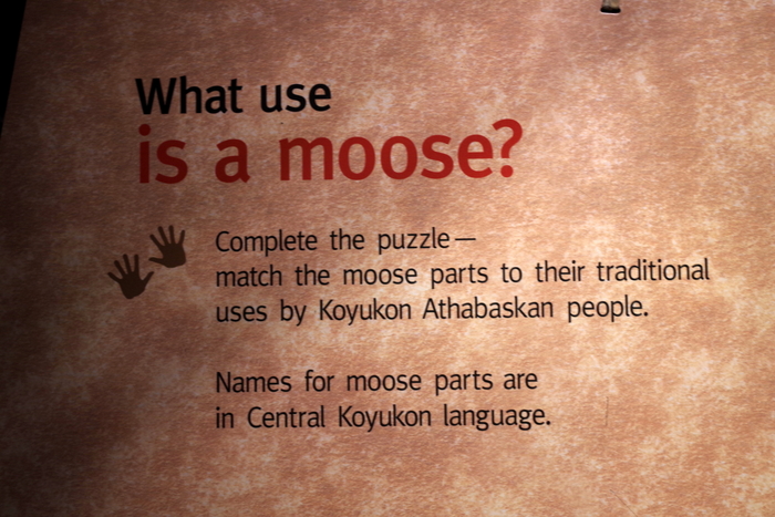
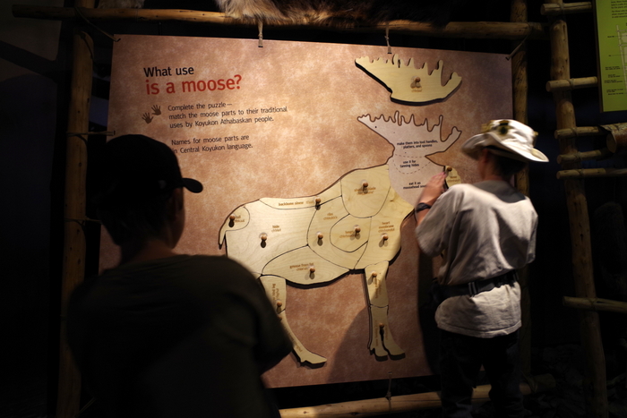
The Visitor Center has a great museum in it. There was this display about moose parts.
IMGP4689

All three boys took time with this exhibit.
IMGP4690

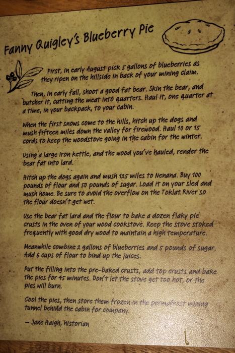
Y’all know I love to bake, so this caught my eye. At this exhibit they explain what it took to make a pie back in the good ole’ days (actually, with so many Alaskan’s living off the grid, I would imagine this is still the process for a good percentage of the population) in Alaska. That’s a lot of work for some pie…
IMGP4697

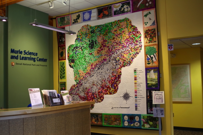
We then made our way over to the Murie Science and Learning Center. Check out that quilt on the wall!
IMGP4695

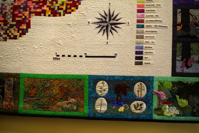
There was some amazing detail work done on it!
IMGP4699

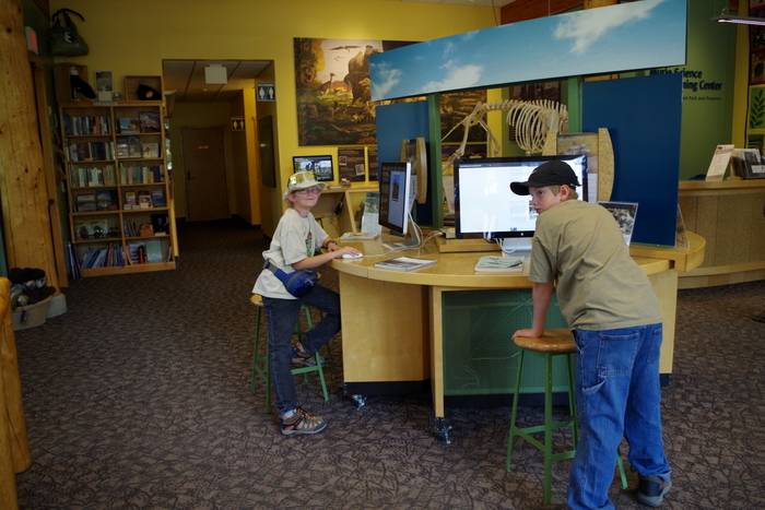
This was a great place for boys who love science. They had computers set up that told all about different aspects of the park along with the different experiments going on throughout the park.
IMGP4698

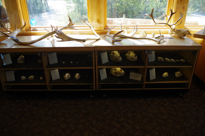
There was also the obligatory bone collection that we seem to find in all Visitor Centers.
IMGP4705

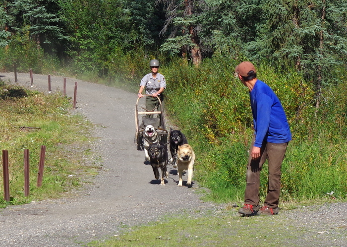
The dog kennels were next! We were all ready for some more sled dog action and these sled dogs did not disappoint. There are demonstrations three times a day (10, 2, & 4). We barely made it to the last one of the day. They harnessed up a few of the dogs and ran them around a small track for everyone to see. These sled dogs are different from the sled dogs we saw in Wasilla. The dogs here are bred for working while the dogs in Wasilla are bred for running. Big and stout versus small and fast.
IMGP4713

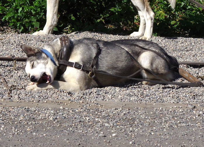
After they raced around the track they were given a treat (I think it was an antler) to gnaw on while an intern talked to all of us about the importance of sled dogs and what their routines are like summer vs. winter. In the winter these guys get close to five thousand calories a day!
IMGP4718

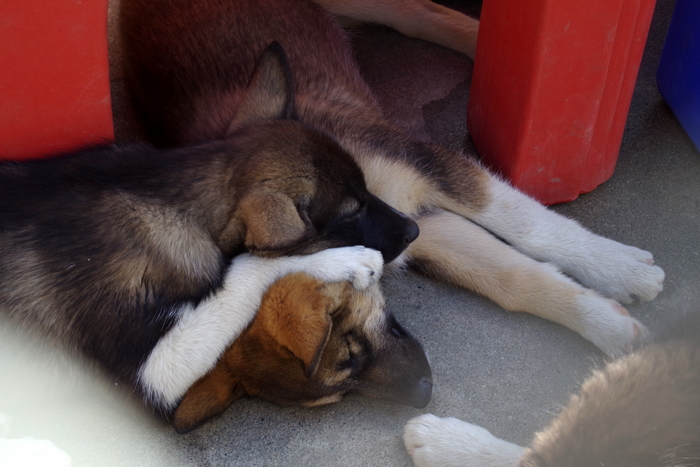
There were six puppies, but we didn’t get to hold them or handle them in any way. We were a little bummed about that.
DSCF0859

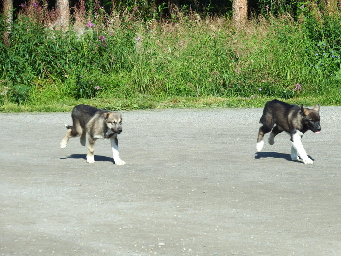
We were there at the end of the day so we got to see the puppies run for their dinner. As part of their training they run around the same track the older dogs ran around during the demonstration. There’s nothing much cuter than a bunch of puppies running as fast as they can to get back and eat.
IMGP4729

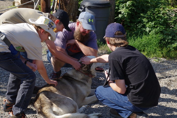
A couple of the dogs were available for visitors to pet.
IMGP4731

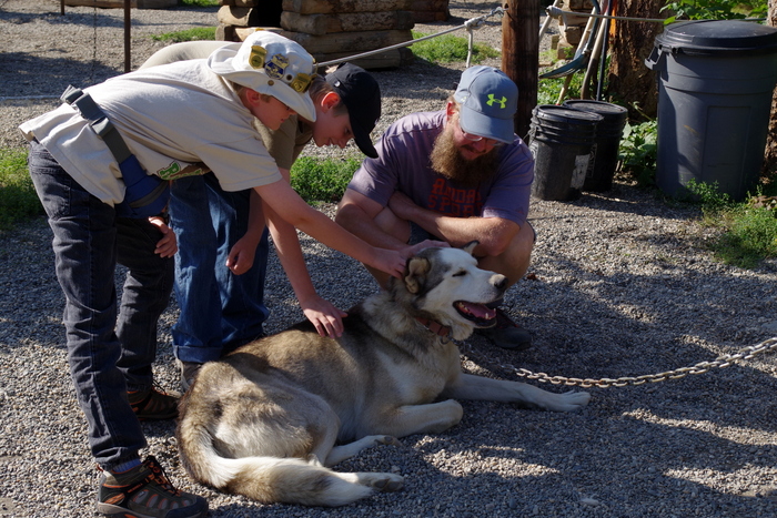
I’m not sure who enjoyed it more…the boys or the dog.
IMGP4753

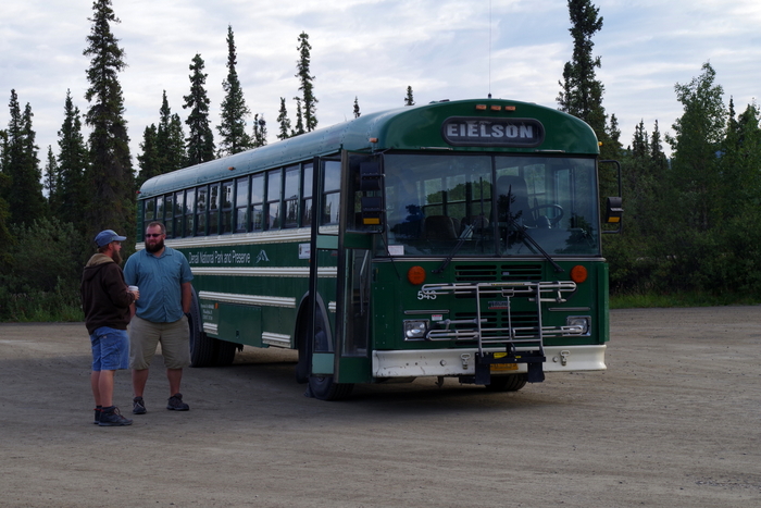
There are only a few ways you can gain access to Denali NP beyond mile 15…you can do what 98% of the people do and take a shuttle bus, you can apply to camp at one of the three campgrounds that are past the mile 15 mark, you can be a Park Ranger, or you can get permission to conduct an experiment within the park. We went with the shuttle bus. Now, interesting fact…there are two different shuttle bus options for taking trips back into the park. There is the green shuttle bus and the tan shuttle bus. The green shuttle bus has different options (or miles) you can choose from, We chose to go to the Eielson Visitor Center which is around the 66 mile marker, but there are a few other options. For our trip we paid $35/ for the two adults and all three boys were free.  You will want to take any food you’ll want for the day and you can get off at any  time, explore, then catch any other green shuttle bus to continue. For the tan shuttle bus, you have the same options of where to go within the park, but they will serve you a boxed lunch. The prices for adults were around $130 for adults and $50 or so for kids. You can’t get off, they stop at fewer places, and let me point out…you’re traveling the same road and seeing the same things that the people on the green shuttle buses are seeing. Hmmm…we can’t figure out why anyone would choose the tan shuttle bus. Our bus driver stopped every single time anyone saw an animal. Every. Single. Time! It was great! And he was a wealth of knowledge on the park! He narrated the whole trip so we actually knew what it was that we were looking at. You can see him in the photo above in the blue shirt.
IMGP4748

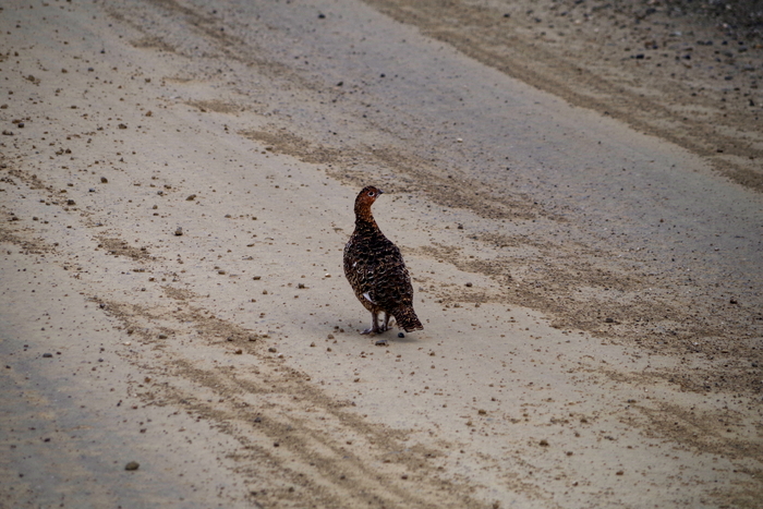
We started the tour off right with the Alaskan State Bird…the Ptarmigan.
IMGP4756

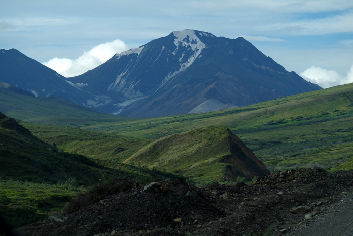
Did you know, you won’t even see the original National Park unless you take a shuttle bus tour? All you’ll see is the expansion of the park that happened in 1980.
IMGP4762

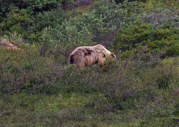
We started spotting the bears once we got to around the thirty mile mark.
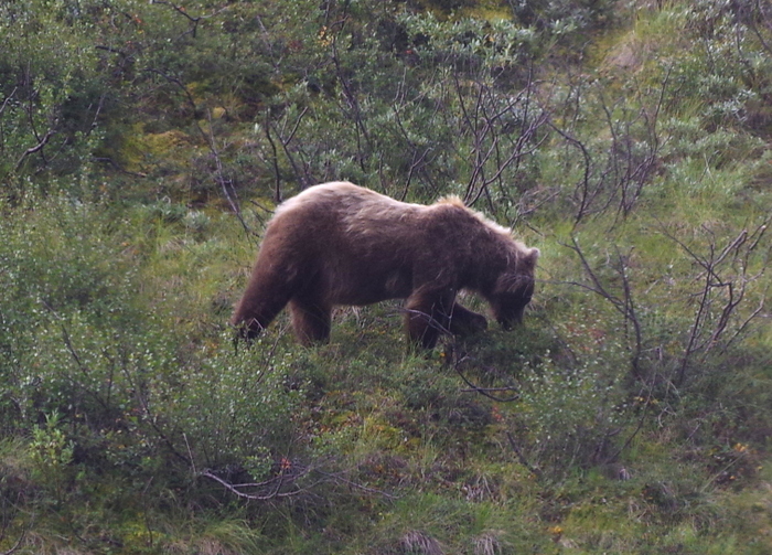
IMGP4780

And boy were the bears out and about!
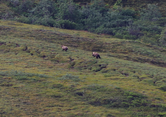
IMGP4806

These two were chasing each other up the mountain and let me tell you…bears might look big and fat, but boy howdy…those beasties can move!!
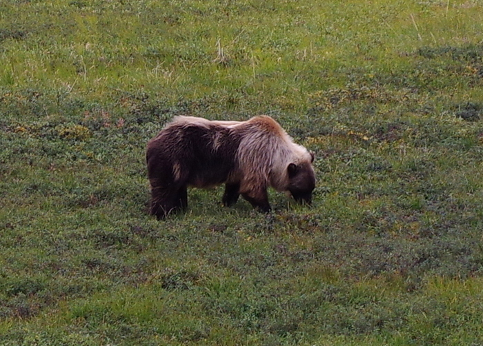
IMGP4847

The bears in Denali are all on the blond side. This one is Littlest’s favorite because it’s half blond, half brown. I think we ended up spotting ten grizzlies throughout the day!
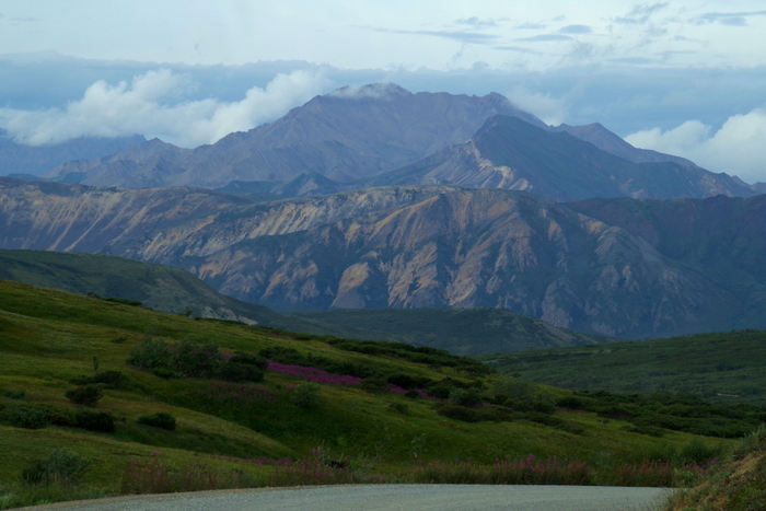
IMGP4769

The park road past mile 15 is a dirt road. I’d read you could bike it, but it’s kind of a dangerous thing to do because of the condition of the road and all of the shuttle buses…not to mention all of the wild animals.
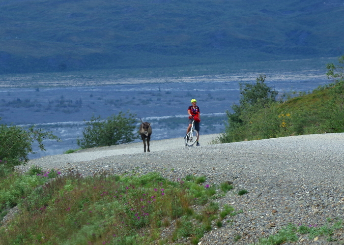
IMGP4829

We saw several people willing to bike the road anyway. All of them looked miserable. The guy in the photo above just about had a run in with a caribou.
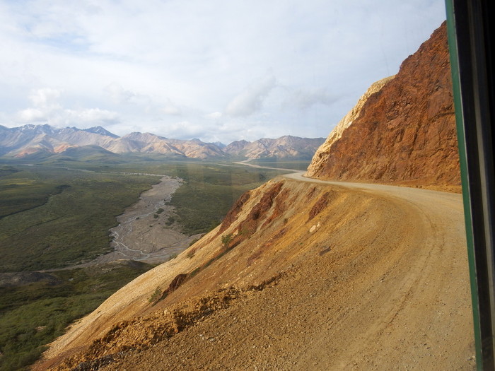
DSCF0902

Here’s a picture in the Colorful Rocks Area. Yup, it’s really called that. Denali NP is broken up into sections. You can also see the narrow winding dirt road…with no shoulder…that the bus took.
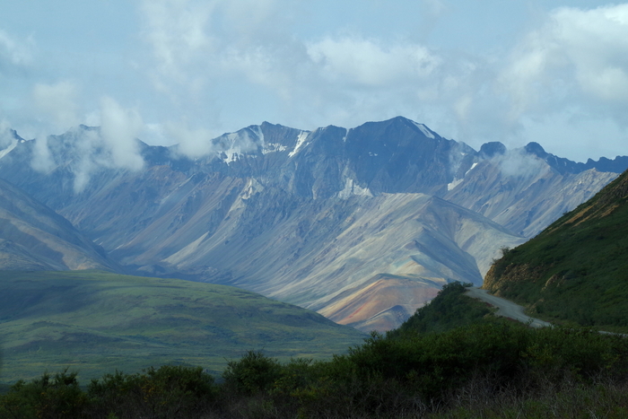
IMGP4783

The views were stellar! Really, they were just spectacular. So, when Ryan (our bus driver) told us that the views were getting ready to knock our socks off starting around the next turn…well, pictures don’t do it justice. Y’all really need to go see it for yourself.
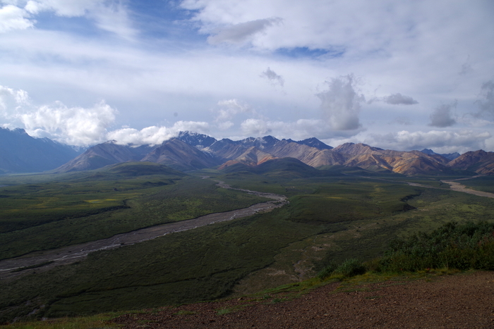
IMGP4791

I would forget to look for the wildlife because I would get so wrapped up looking at all the mountain views.
IMGP4801

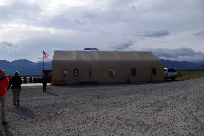
We got a ten minute rest stop at the Toklat Visitor Center at mile 53 in the park. There was a small store and restrooms for anyone in need.
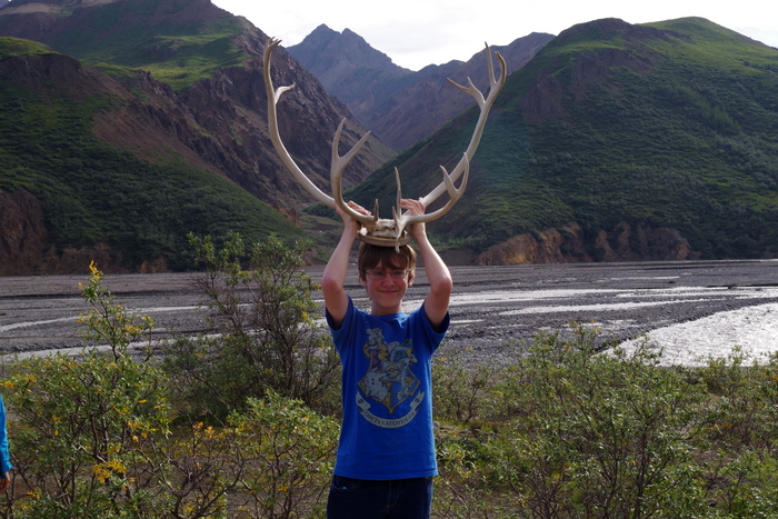
IMGP4798

They also had some caribou antlers you could pick up and handle.
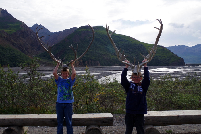
IMGP4804

The little boys had to have help getting them all the way up to the top of their heads!
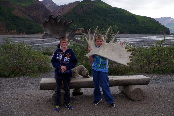
IMGP4880

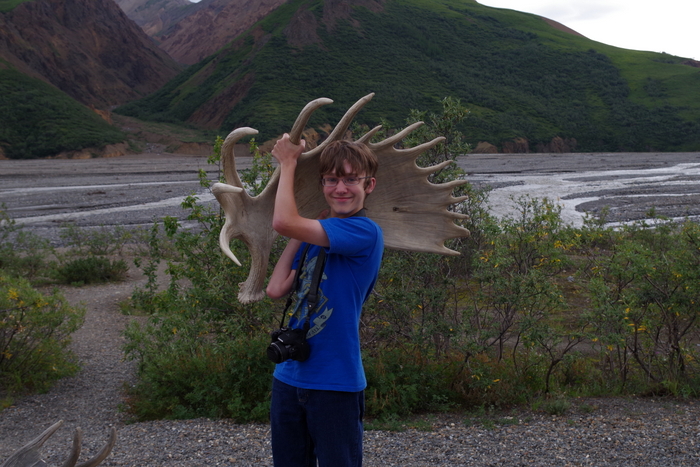
They also had a set of moose antlers. They were so incredibly heavy that Littlest couldn’t even begin to get his lifted up so a guy held it up for him and Alex was struggling to get his up as high as he did.
IMGP4882

Mr. Man probably could have muscled it to the top of his head, but it was kind of awkward so we settled for the shoulder.
IMGP4811

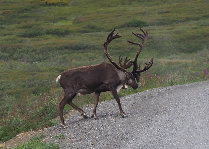
Right after the Toklat we started seeing all of the caribou. There were tons of them! The one in the photo above has a tracking collar on it. He jumped into the road and just sauntered down it for a bit.
IMGP4820

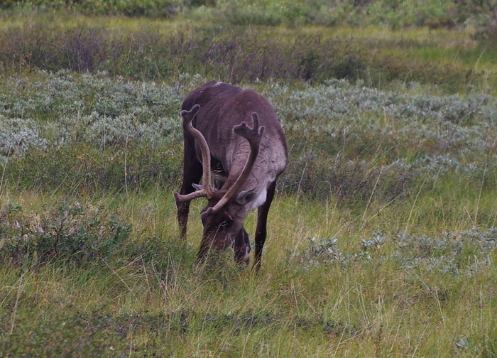
All of the buses have rules about what they can and can’t do near an animal. The rules are pretty strict. Basically, if it’s going to bother the animal in any way, don’t do it. If an animal is in the road you can’t shoo it away, you just have to stop and wait. These rules apply to all of the animals…even the small alpine ground squirrels.
IMGP4825

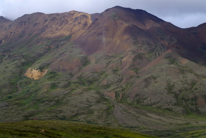
It’s amazing how different mountains that are right next to each other can look. I love the colors of the mountain in the photo above.
IMGP4827

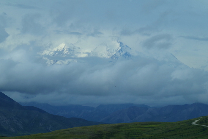
This was all we saw of Mt. McKinley. She peaked out at us in the morning, but was completely clouded over by the afternoon.
IMGP4836

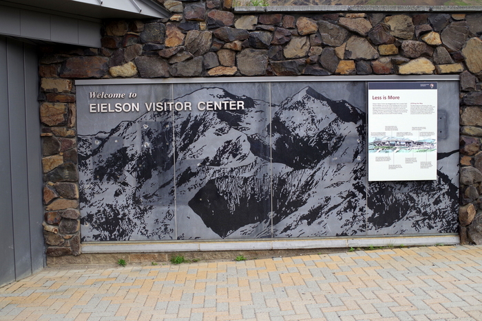
The Eielson Visitor Center at mile 65.9 in the park was our destination. You can go farther…all the way to the end of the road at mile 92.4, but be ready for at least a 12 hour ride (round trip). We went to Eielson because I’m collecting the passport stamps. Denali has seven passport stamps and two of them (Eielson and Toklat) are only available if you take a shuttle into the park. It was worth it. I really wish we’d done the Kantishna (92.4 mile) shuttle. When we come back, we will definitely do that one.
IMGP4831

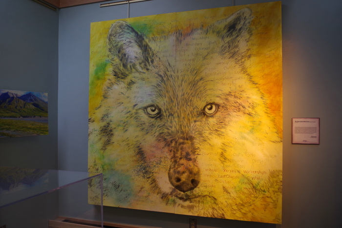
This painting was in the Eielson Visitor Center. I wish they had it on a postcard…I love it, but I don’t think it will fit in the RV…
IMGP4835

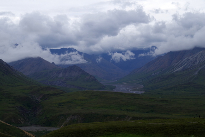
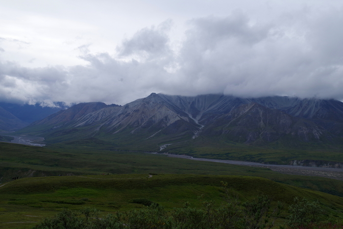
Here are some views from the visitor center.
IMGP4837

In the photo above, you can see a weather tracker thing-a-ma-bob from one of the ongoing science experiments.
IMGP4841

One more view from Eielson. It was at this point that I realized we should have gone all the way to Kantishna.
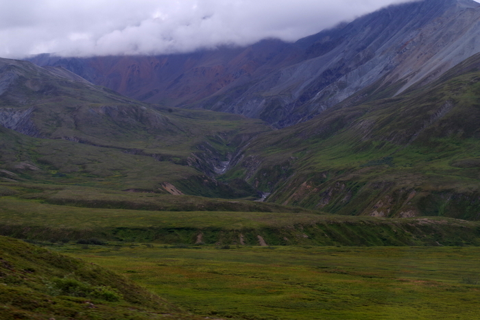
IMGP4846After Eielson we headed back to the front of the park and I took the opportunity to get pictures of the other side of the road. I kept seeing all of this great landscape on the left side of the bus heading to our destination…so I made sure to sit on the same side of the bus going back so I could get photos of everything! I sat on the right side of the bus in the front and Mr. Man sat on the left side with his new camera so we would have both sides covered! But, when it comes to landscapes, our tastes differ and I wanted to get my own photos.
IMGP4865

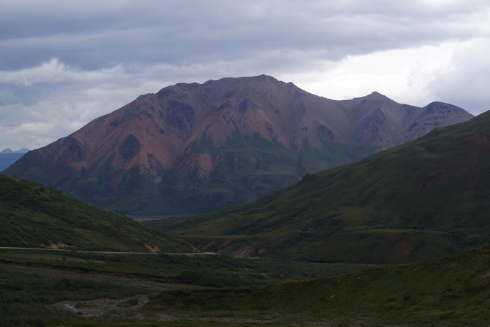
You can see the narrow, winding, dirt road over on the left side of the photo above. I’m so glad we didn’t have to drive it ourselves. Some of the switchbacks and mountain passes were…well…Ryan would warn us when we came to one that was bad so people afraid of heights could switch sides of the bus if they needed to.
IMGP4784

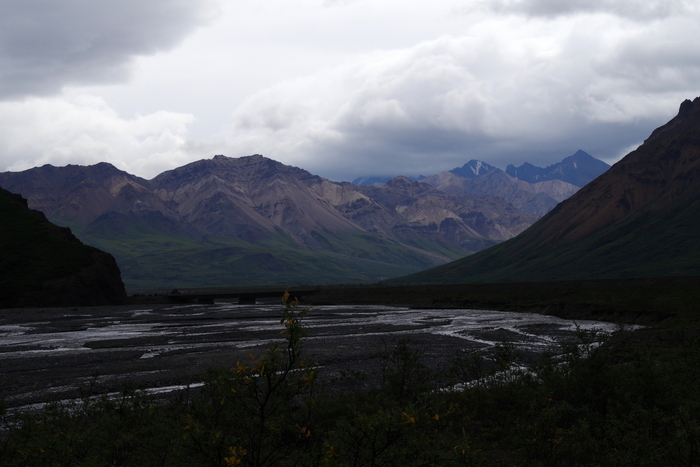
I shot the photo above out the front window of the bus to give you an idea of just how windy and narrow the road really is. Two shuttle buses wouldn’t fit side by side. one of them would have to pull over and let the other one pass.
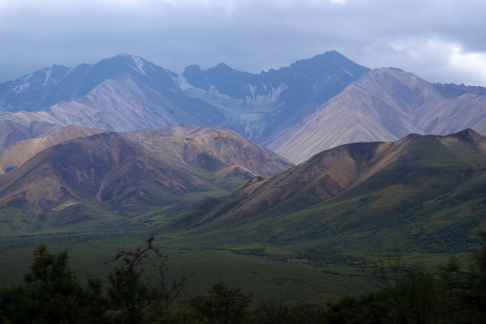
IMGP4884 I might be a little obsessed with mountainous landscapes. The colors and shapes…love them…
IMGP4898

Sometimes the mountains look so perfect they look fake. I have so many landscape shots from this one bus trip…it took me forever to decide on which ones to include.
IMGP4908

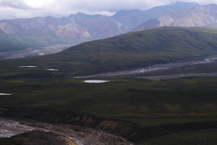
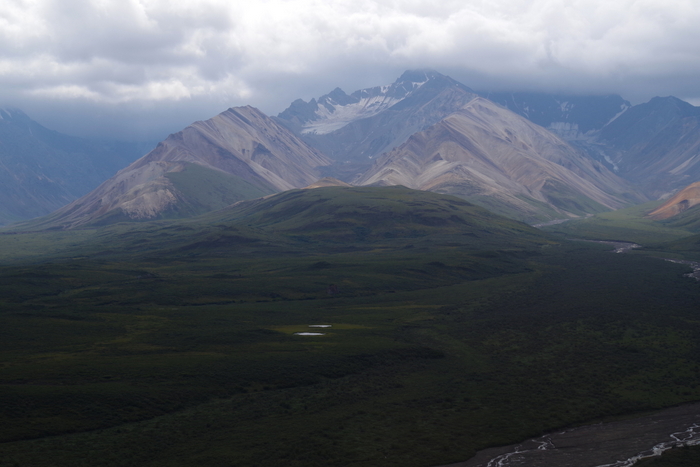
Ok, do you see all of the little ponds? Those were created when the glacier was moving through this valley and chunks of it would fall off and melt and voila! A pond!
IMGP4909

So, I told myself I was putting this one in because it’s another example of the ponds…but really I just love the mountains.
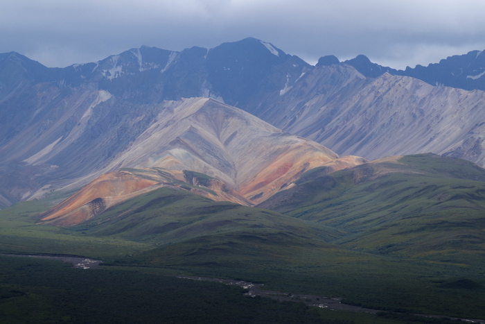
IMGP4913

This mountain is called Polychrome and is my favorite mountain in the park. Look at all the colors! The picture just doesn’t even begin to do it justice…
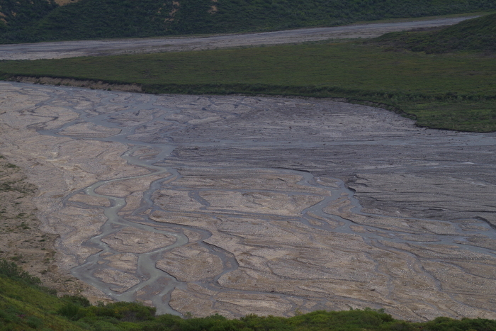
IMGP4915

This is something else I thought was really cool. This is a braided river. Cool name, right?!
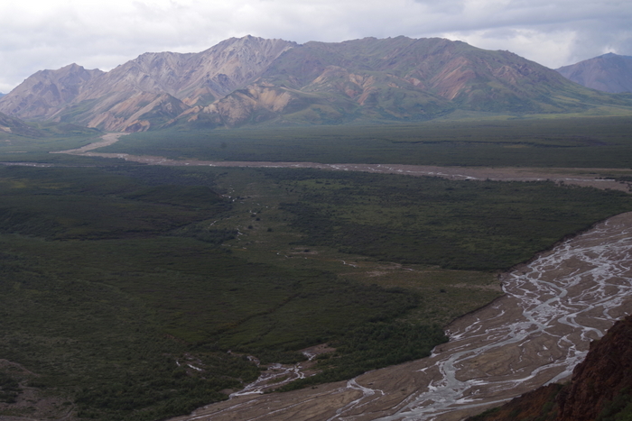
IMGP4914

This is a better shot of the river. This braided river has many different water sources which make many different paths that all wind around each other.
IMGP4921

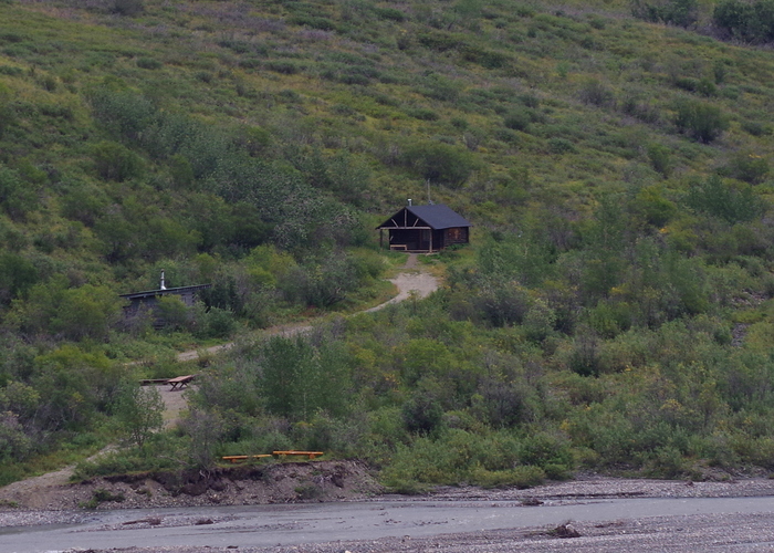
There are a few…maybe four…cabins throughout the park that were all built in the 1920s and are still being used today by the rangers, scientist, or resident artists.
IMGP4925

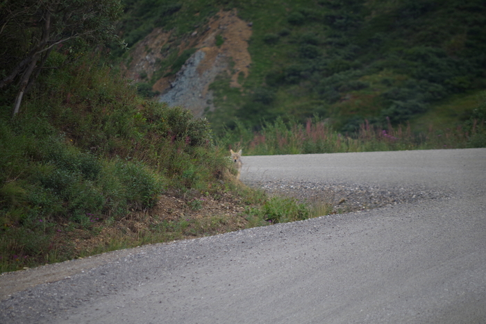
One of the hardest animals to see in the park is the wolf. There are 52 wolves in the park that have tracking collars, a new pack of 4 that haven’t been collared yet, and 3 new cubs. We actually got to see one wolf…well, let me rephrase that…Jerl and I along with the bus driver got to see one wolf. There are advantages to sitting in the front!
IMGP4937

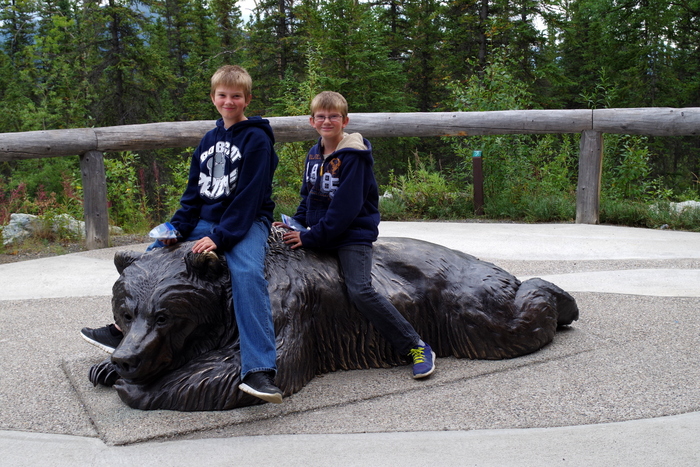
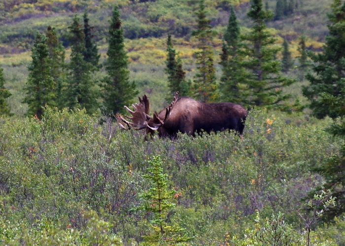
In Denali National Park there is a group of animals called The Big Five. The group consists of the grizzly bear, wolf, dall sheep, caribou, and moose. It is extremely rare to see all five in one day. We did. Now…the dall sheep all looked like fluffy rocks way, way up high on the mountains, and…
IMGP4985

this is the best view of a moose we got, but I’m counting it! There are over 2,000 moose in the park and we only see this one. Oh well, we got to finally see some bears!!! Big, big grizzly bears!!

 We spent two full days in Denali National Park and we had the absolute best time!

See y’all down the road!

#alaskabound

#myalaska
Kenai Fjords National Park

Kenai Fjords National Park

IMGP3918

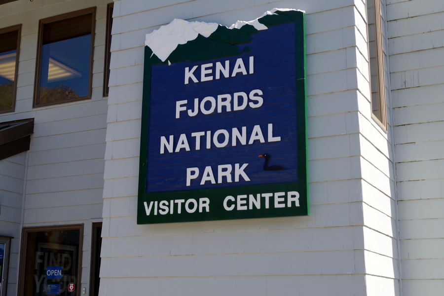
Kenai Fjords National park is 607,805 acres of unspoiled wilderness on the southeast coast of Alaska’s Kenai Peninsula. There are three ways you can visit the park in Seward: 1. Take a cruise, 2. Go to the visitor center in downtown Seward and do a Ranger Walk (the Ranger Walk isn’t technically in the NP), and 3. Go to the Exit Glacier portion of the park (this is the only part of the park you can drive to). We did all three of these things! I posted about the cruise in a separate post because it would have made this post too long.

We did our Ranger Walk on a beautiful Sunday afternoon.

IMGP3923

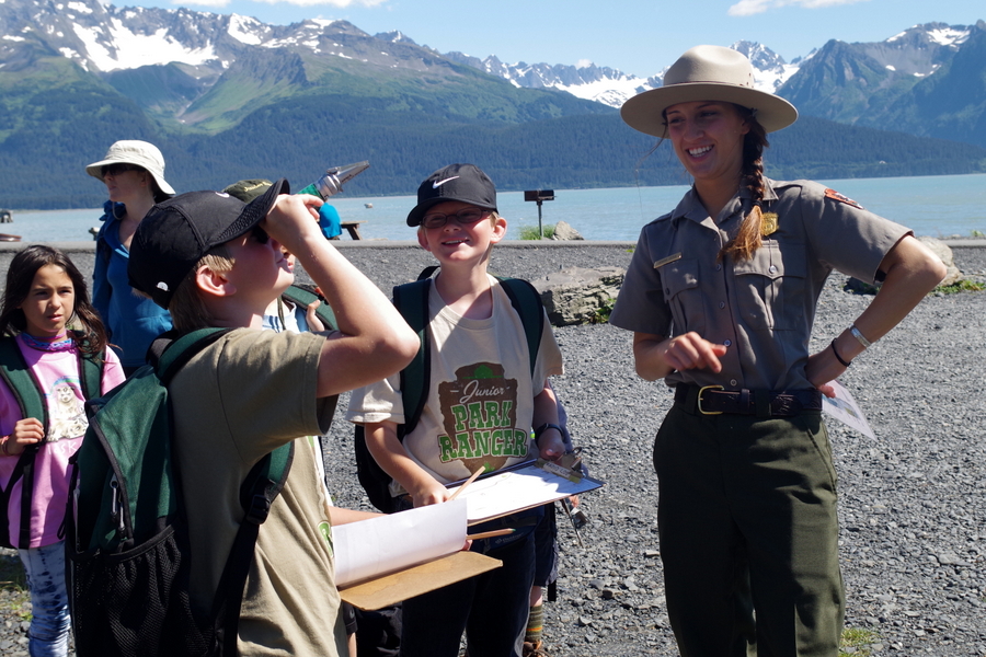
The Ranger Walk is only offered on Sunday afternoon and is geared toward kids. Our ranger was a college student working on her Master’s degree in Zoology. It was at this point, our 15 year old decided maybe rangers weren’t all that bad. ;-P

IMGP3932

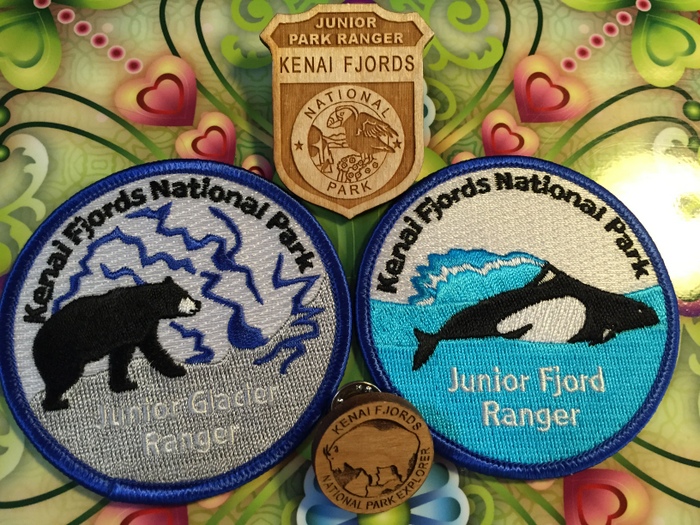
The boys had a great time walking along the shore line learning about glaciers and fjords and what kinds of things Rangers do. They also earned their Fjords Ranger Patch!

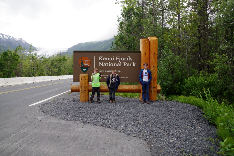
We went to the Exit Glacier portion of the park twice.

IMGP3652

The first time we went we did the easy one mile hike to the Exit Glacier viewing area.

IMGP3641

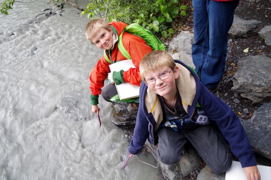
The boys did the Explorer Packs on this visit. The NP lets you check out a backpack that has all kinds of activities you can choose from. Alex kept track of water temperature in different places during the hike and Nicholas identified several plants and trees. This got them the Glacier Patch!

IMGP3607

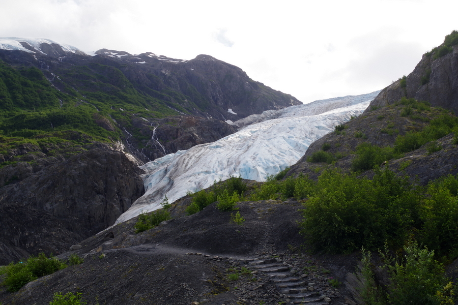
The trail was a great path with stairs. This was our first glimpse of the glacier while on the hike.

IMGP3619

This is as close to Exit Glacier that you can get. They’ve got it all roped off.

DSCF0275

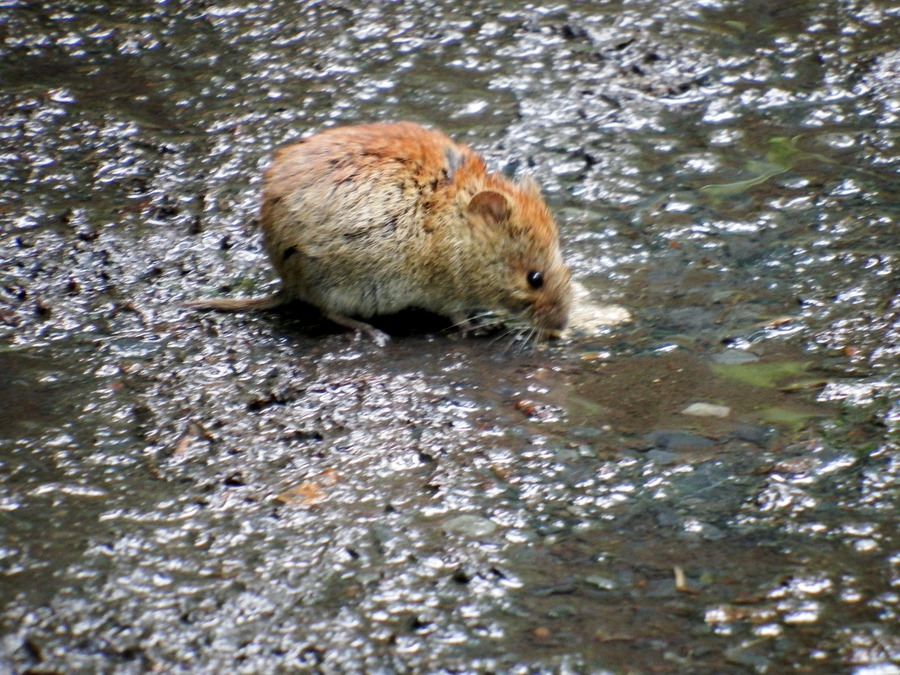
We saw this little guy on the way back down. He’s a red backed vole. He was amazingly not afraid of us. I walked right by him on the path.

IMGP3636

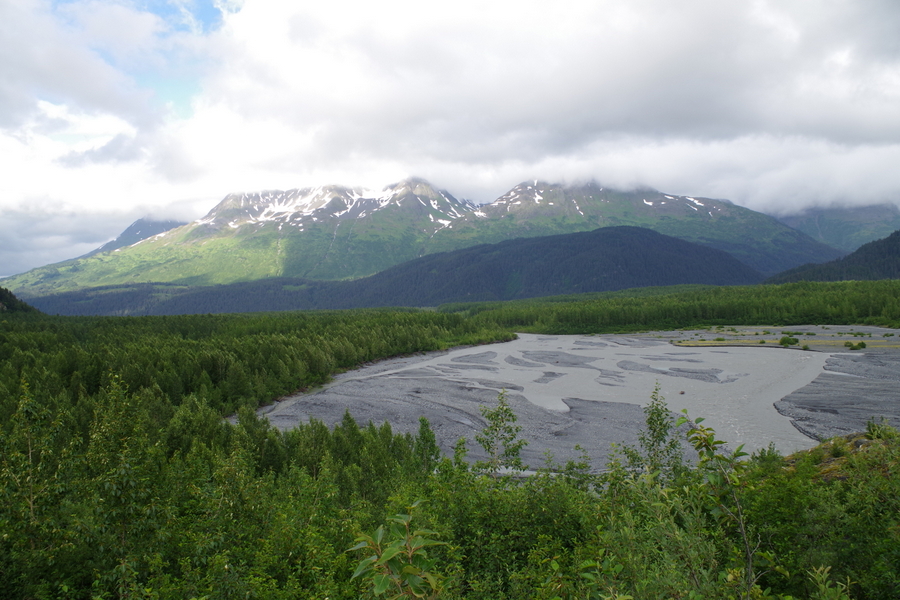
Here’s a picture of the glacier washout. All of the water running off the glacier runs through there. People camp out there too. I wouldn’t. It’s all rocky and prone to high water. That just doesn’t sound like a good time to me.

Now, I like to keep it real for you so I’m going to tell you about the hardest hike we’ve made on this trip so far. And boy is it a doozy.

The second time we went to the Exit Glacier area we decided to do the Harding Icefield Trail. We planned ahead and brought our hike packs with water and snacks…we even brought a couple of jackets because on prior hikes we’d run into rain and cold on top of the mountain. Remember Whistler Mountain in the Oh Canada post? This hike is an eight and a half mile (round trip) hike. It gains 1,000 feet of height per mile on the way up.

IMGP4275

It started off great!! A gentle upward hike through the forest to the trail board where you’re supposed to check in and out so the park can keep track of everyone. The up started right after the trail board. It was still pretty gentle. We’ve decided the NP was trying to lull us into a false sense of security.

IMGP4286

We would hike a while then stop and rest a few minutes. The little boys decided to do the Explorers workbook (which is meant for 13+ years) this time so they could get all four of the available badges offered at this NP. They would work on it during our breaks.

IMGP4287

Everyone was still feeling pretty good about the hike here. We’d gone maybe a mile…but we thought we’d gone farther than that.

IMGP4289

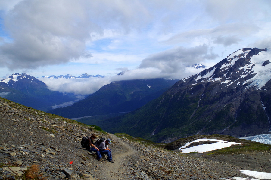
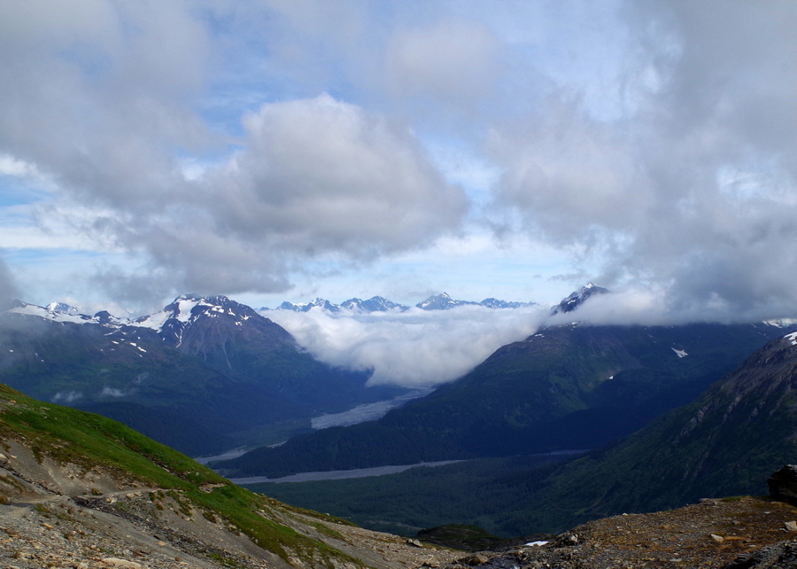
The views were amazing. We would huff and puff up to a flat-ish place and look up and see things like what’s in the photo above. When they said the trail gains 1,000 feet every mile, they weren’t joking. Right around here we got to a place in the hike that had a trail marker that told us we still had over two miles left in the hike. We were really feeling it. We were hot, our legs were wobbly, and the trail was more advanced than what we had ever hiked before.

IMGP4305

We talked to some people coming down the trail and they assured us that the hard part was almost over. If we could just make it up the switchbacks, we’d be home free…the trail would flatten out. So, we pushed on after taking in the great view.

IMGP4309

The views during this entire hike were breathtaking. It’s hard to be in a bad mood when you’re surrounded by the wild beauty of Alaska. It was during the switchbacks that Jerl’s legs started cramping up and we all started to really feel the burn. If you work out, think about a leg day that you pushed yourself way too hard…that’s where we were and we still had about 2 more miles of up to go. Any normal family would have called it quits and gone back down while they could still move. Not us though. Oh, no…we kept getting told how we were soooo close and how if we made it up to this certain point it all flattens out. We didn’t’ want to wimp out so close to the finish.

DSCF0792

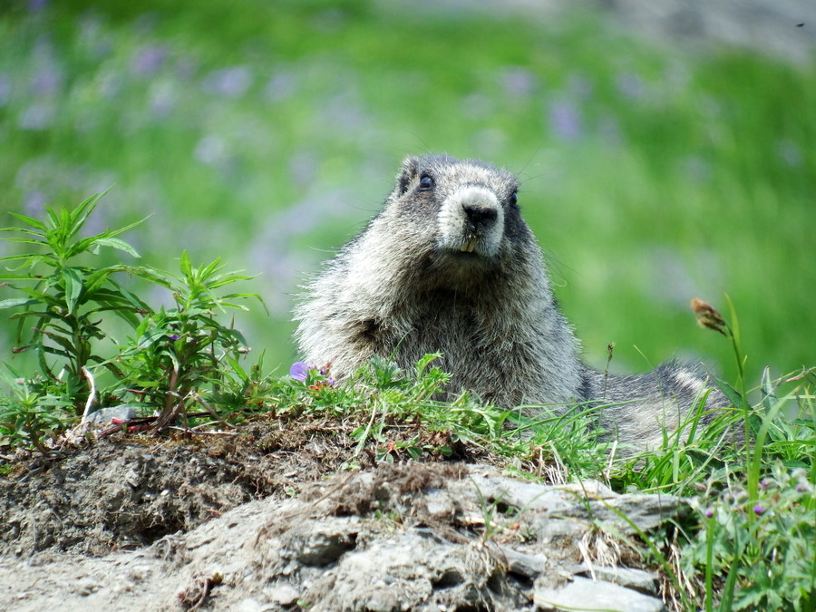
We met up with this marmot. He chirped and chattered at us the whole time we shuffled by him. He was super cute!

IMGP4323

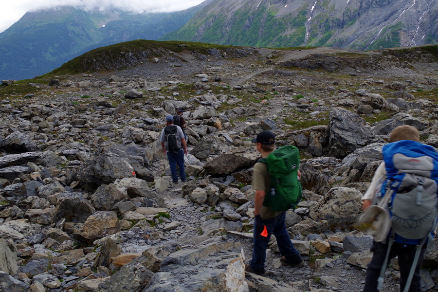
We finally made it past the switchbacks and all of the huge rocks you have to get up and over. They put them cleverly on the path to act as steps…I’m sure giants have no trouble with them. By this point I was really ready to just head down. The boys were miserable, I was beyond done, and Jerl was having issues with his legs. But…we thought maybe we’d finally reached the promised “flattened out” area. We couldn’t stop now! Right?

IMGP4325

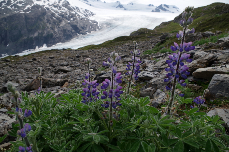
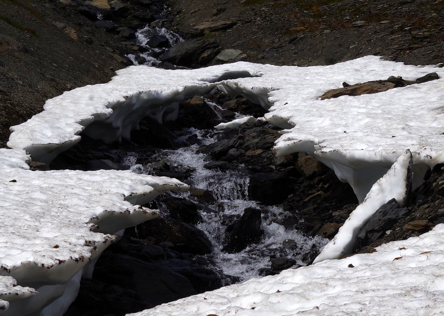
This is also where the landscape changed. We’d hiked up past all of the trees and shrubbery to where it’s just rock and snow. I love the way the melting snow made little waterfalls. It was so nice to be able to reach into a stream of cold water and wipe off your face. The boys loved seeing all of the snow.

IMGP4330

The change in the trail gave us a second wind. It never flattened out…I don’t know why those crackpots told us the trail flattened out, but it never did. Not even a little! I think they felt bad for us and were trying to encourage us to go on. Anyway, we got a second wind and the trail wasn’t quite as hard as it had been and the views…well…look at the photo above. That was the view. Jerl had to sit for a while here and told us to go on. We really were so very close to the prize.

IMGP4333

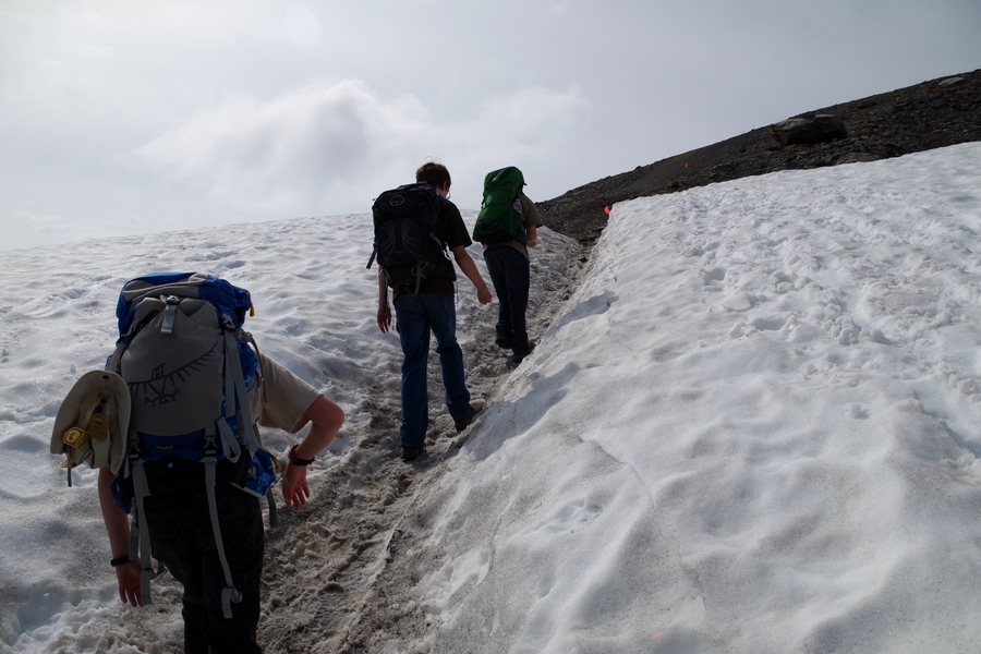
The boys and I went on. We all had fun slipping and sliding over the snow. The boys were amazed with all the snow and kept saying, “There’s snow in the summer!”

IMGP4335

We hiked up and turned a corner and came face to face with this. We were eye level with a mountain top! We marveled and guessed at just how high we really were as we hiked on.

IMGP4339

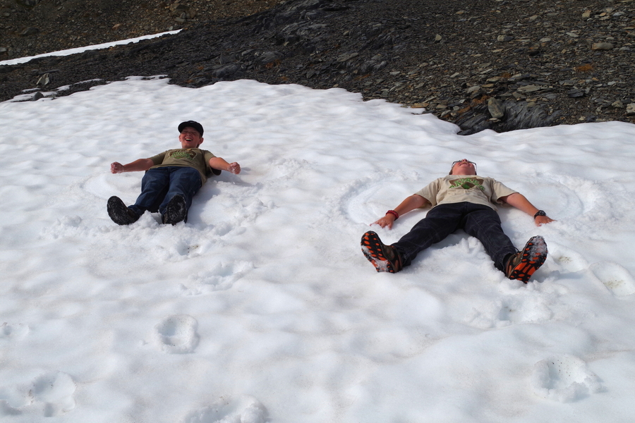
As soon as we started seeing snow, the boys wanted to make snow angels. They asked every time we came to a snowy patch, but it wasn’t until this patch that I felt like it would be safe enough. They took off their packs and had a good time playing for a few minutes.

IMGP4349

We rounded another corner and saw this. We really were surrounded by beauty! It felt kind of like we’d been zapped to another world.

IMGP4351

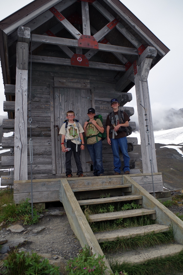
There’s a storm shelter near the top. We had maybe half a mile left at this point. We took a small breather to explore the cabin and then pushed on.

IMGP4366

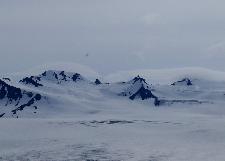
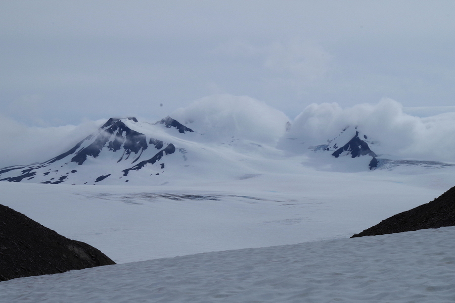
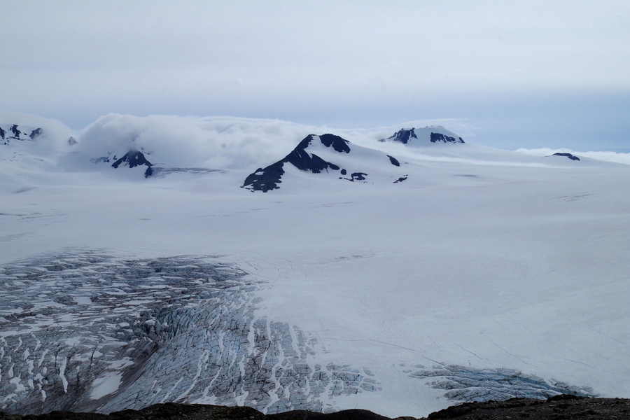
And this…this is the reason we hiked all the way up there. This is the Harding Icefield! This icefield spawns off more than forty glaciers! It stretched on so far we couldn’t’ tell where it ended and the clouds started. It really looked like it just went on forever.

IMGP4363

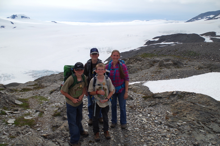
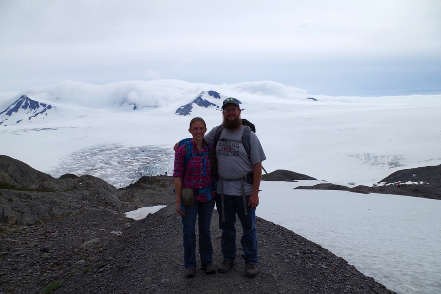
Another family at the top offered to take a picture of us. We finally made it to the top!

IMGP4372

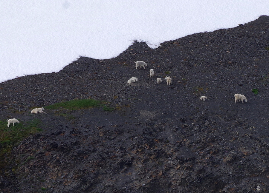
We turned around to head back down and to find Jerl when we noticed the mountain goats! There were two different herds of them just hanging out on the slopes.

IMGP4385

We started back down and found Jerl had made his way up to almost the top! He’d stopped again just before the last climb. When he found out just how close he was he made it up to the top too! I’m so glad we all got to see the Icefield! We didn’t stick around long. It had taken us five hours to get up to the top. Yup, you read that right…Five. Hours. Five hours for just over four miles and now we had to trek back down those same four-ish miles to get to the bottom. Thank goodness it doesn’t really get dark here.

IMGP4400

We made better time going down. Gravity was in our favor.

IMGP4403

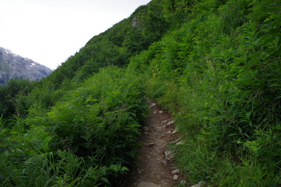
The trail changes abruptly form rocks to this. It looks lovely, but if you brush against most of those plants, they’ll try to eat you. There was a ton of the wild celery which you want to avoid at all costs. There were also a ton of wild raspberry and rumors of a bear in the area. We never saw the bear.

IMGP4406

This was on our last rest when we still had two and a half miles to go. We didn’t stop after this until we got to the car. I don’t think Jerl and I could have gotten up and going again if we’d sat down. We made it to the car just before 9PM. It took us nine hours, but we did it! The boys were troopers. They were just as miserable as we were, but they didn’t whine or complain. We’re so incredibly proud of how they handled the whole hike.

So there you have it…the hardest thing we’ve done so far on this trip. We really should have turned back. I guess what they say is true, what doesn’t kill you makes you stronger.

Lesson learned.

We now know our limit. We gave the boys the day off after our hike. We didn’t do much of anything…mainly because none of us could move.

We did go back to the visitor center the next day so the boys could turn in the workbook they’d completed.

IMG_0992

The boys earned all four patches/badges available at the Kenai Fjords National Park!

See y’all down the road!

#alaskabound

#keepingitreal

Kenai Fjords Cruise

Kenai Fjords Cruise

IMGP3655

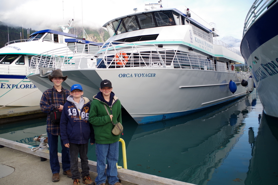
The Orca Voyager and her crew took us out on an eight and a half hour cruise around the Kenai Fjords Peninsula. We’d been looking forward to this cruise for a long time and it did not disappoint! I’ll be honest, I’m not sure how much commentary you’ll get on this post…the pictures kind of speak for themselves, but I’ll do my best to point out what I can.

The majority of this cruise was actually in the Kenai Fjords National Park which is about the only way you can actually visit this part of this particular NP. In this post I’m going to concentrate on the cruise, but I’ll do another post specifically about Kenai Fjords National Park.

DSCF0289

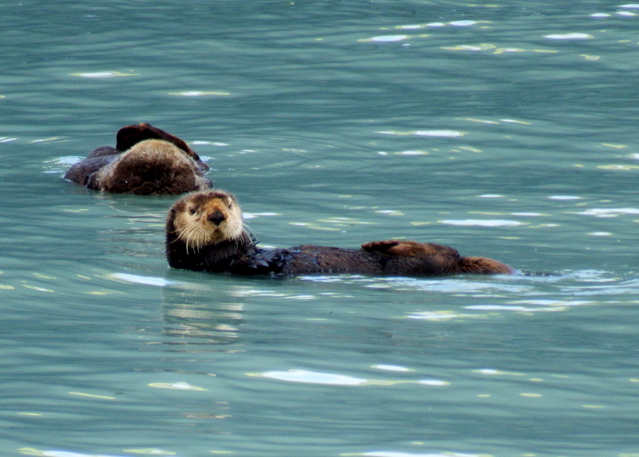
Before we even got out of the bay, we had our first wildlife encounter. Sea Otters! They spent most of their time diving down to get food then floating on their backs to eat it.

DSCF0314

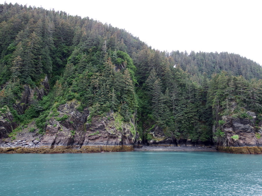
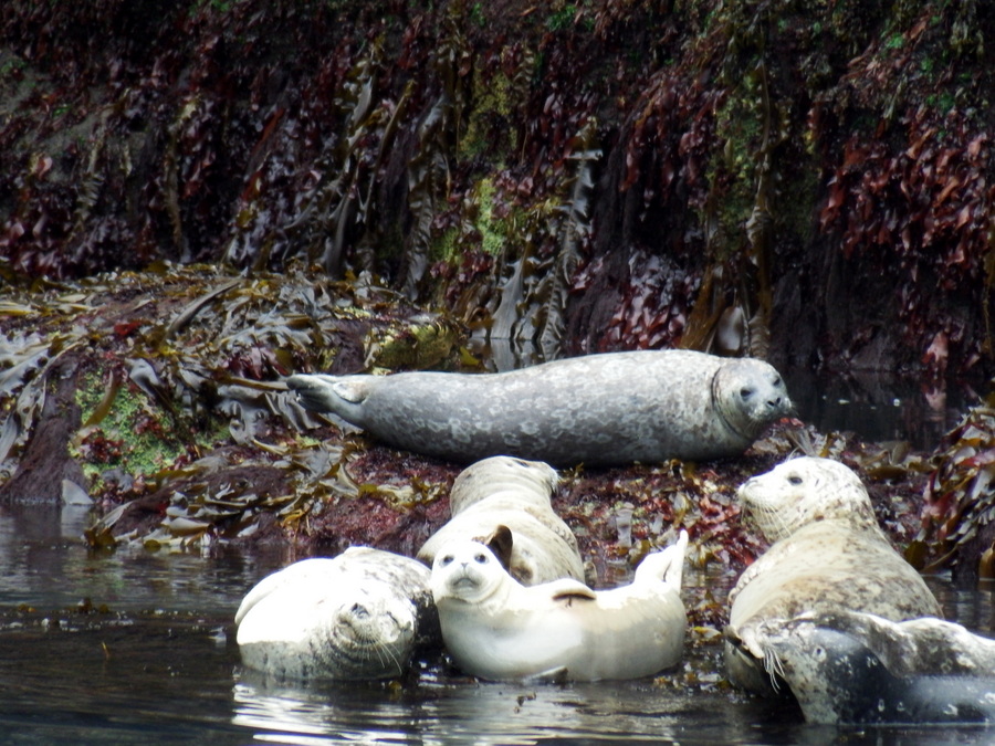
The landscape along the waterline was really impressive. In this little cove we found a bunch of Seals.

DSCF0378

Our boat Captain was an expert at getting us up close to the wildlife. The seals lifted their heads to check us out then went back to snoozing in the sun.

DSCF0389

Something you should know about these day cruises… There are plenty of seats for everyone inside, but only a few seats outside. Now, if I’m going to invest in one of these cruises, I want to be outside where I can get a really good view of everything. We made sure to get to the boat early then claimed a row of seats (there were only four) outside near this back corner of the boat.

DSCF0390

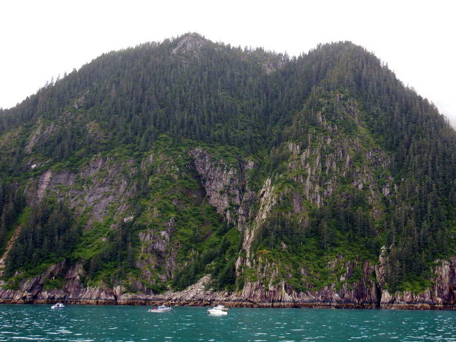
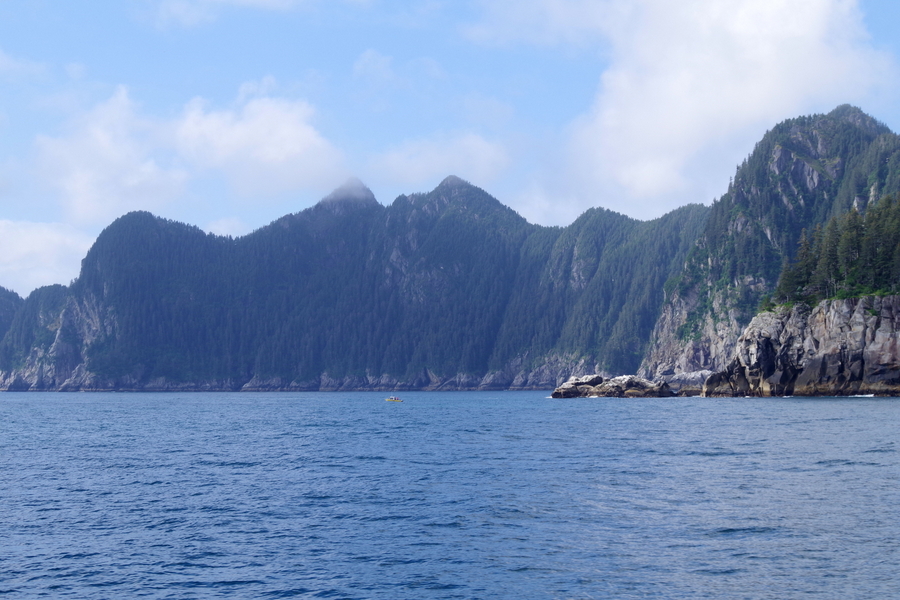
I couldn’t get over the color of the water and how the shoreline felt so dramatic. In most of the coves we went into closer to Seward there were small fishing boats. I thought the picture above would help give you a sense of just how massive some of these islands in the coves really were. I call them small fishing boats…but they were the size of an RV.

DSCF0454

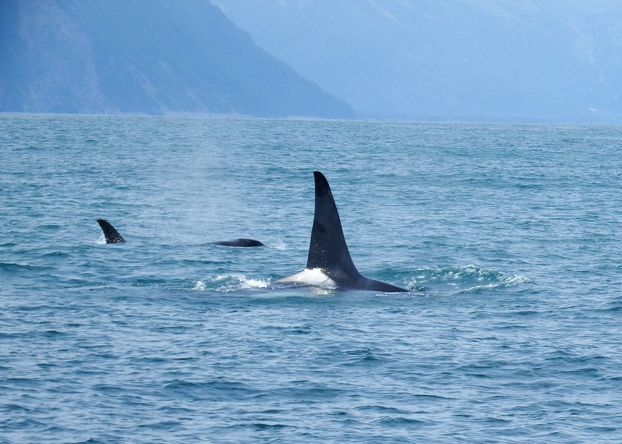
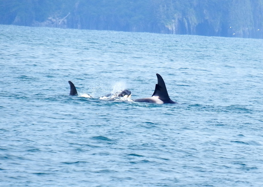
Now, because I’m going to keep it real for y’all, I’ll admit to you…when the pod of orcas showed themselves…I was stuck in the bathroom. I could hear the Captain telling everyone where to look and talking about them, but I couldn’t for the life of me get out the door. So, I missed most of it. I was super bummed about that.

DSCF0460

Luckily, Charles was there with his brand new camera and snapped several great shots! Both of the shots I’m posting are ones he took.

IMGP3801

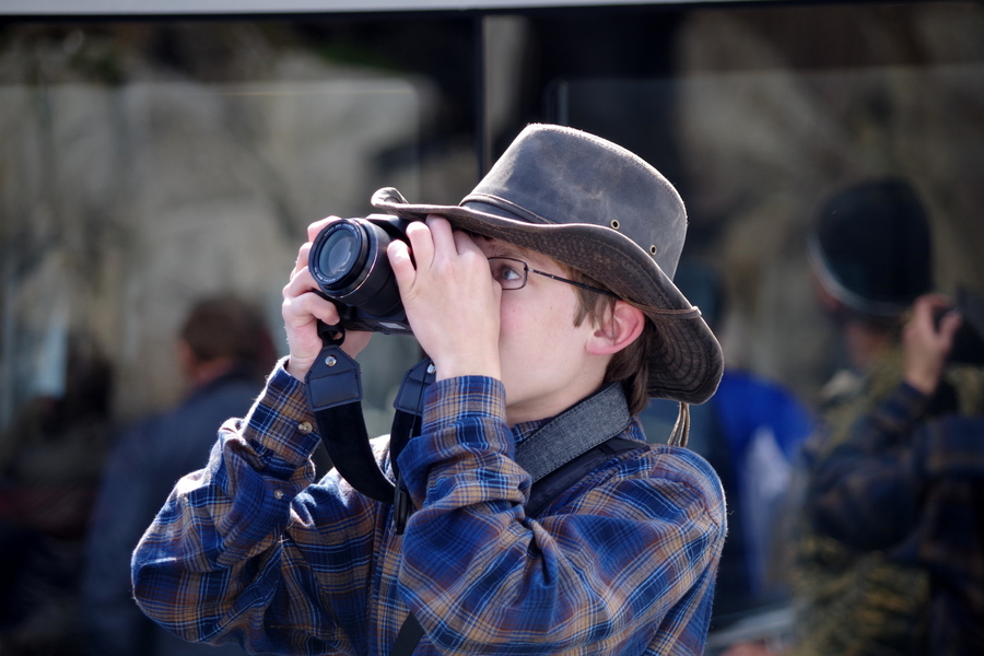
This is what Mr. Man looked like most of the day. I think at the end of the day he had somewhere around 200 to 300 pictures. He likes to combine them and make new landscapes for stories he’s working on.

IMGP3680

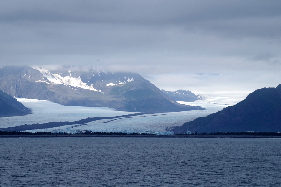
I lost count of all the glaciers we saw. This one was pretty spectacular the way it just went on forever.

IMGP3674

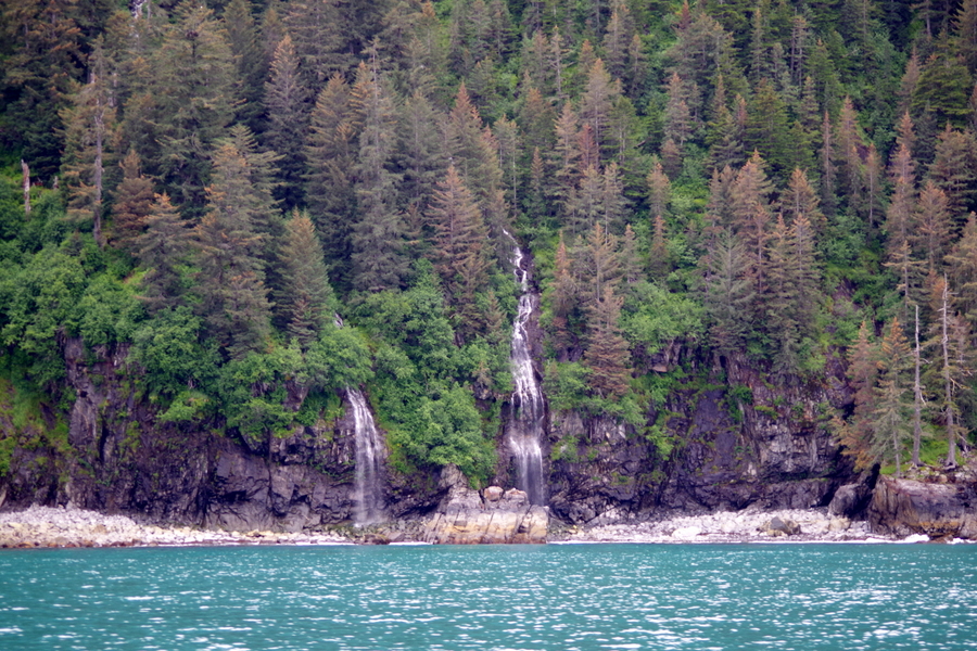
And then there are the waterfalls! I’ve never seen so many waterfalls. They were in every nook and cranny.

IMGP3722

The day started off overcast, but the farther out to sea we got, it became more of a cloud dappled sky. We would get these moments of brilliant sunlight that would make us say “oh wow!” I’m not sure how many times we found ourselves saying that. It seemed to be the theme of the day.

IMGP3726

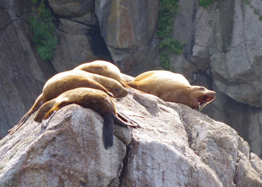
This group of sea lions started calling out to us as we passed by. It was like they were telling us to go away so they could enjoy their sunny rock in peace. Apparently, sea lions are very territorial and some actually jumped into the water to try and chase us off.

It was right around noon-ish in the trip and the crew passed around a light lunch. It was nothing spectacular, but it was very appreciated and tasted really good. The lunch consisted of a chicken Cesar wrap, a bag of sun chips and a granola bar. They did a modified wrap for Charles since he’s allergic to dairy…we thought that was really great.

IMGP3762

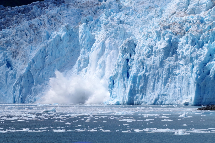
This was probably the highlight of our day. We got to sit close to this glacier for a while. We heard it moan and groan and then crack.

IMGP3773

We got to see it calve several times! It was really amazing!

DSCF0475

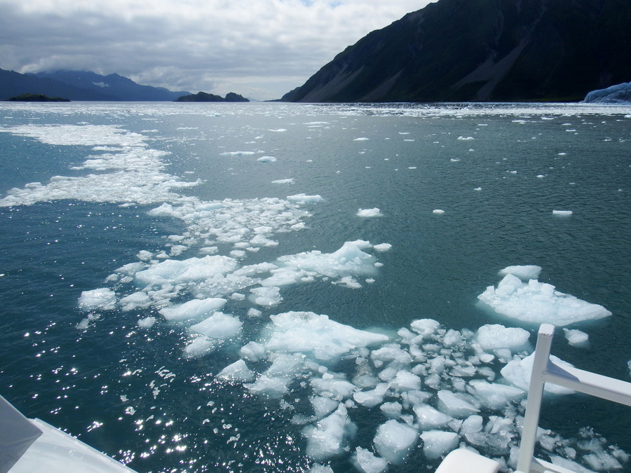
There was ice floating in the water. The crew scooped some out for everyone to touch and feel.

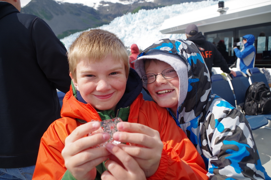
IMGP3767

I was informed by the two Little Boys that glacier ice out of the sea is way cooler than regular ice. These two monkeys grabbed a chunk of ice that had fallen off the big one the crew brought around. The glacier ice had tons of air bubbles in it.

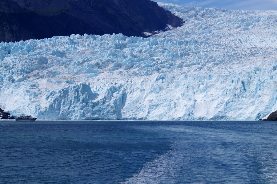
IMGP3781

If you look to the left of the picture above, you’ll see a boat that was about the same size as the boat we were on. This picture really gives you a feel for how massive this glacier is.

This glacier was the farthest out our cruise would go so after we left there, we started back toward Seward.

IMGP3807

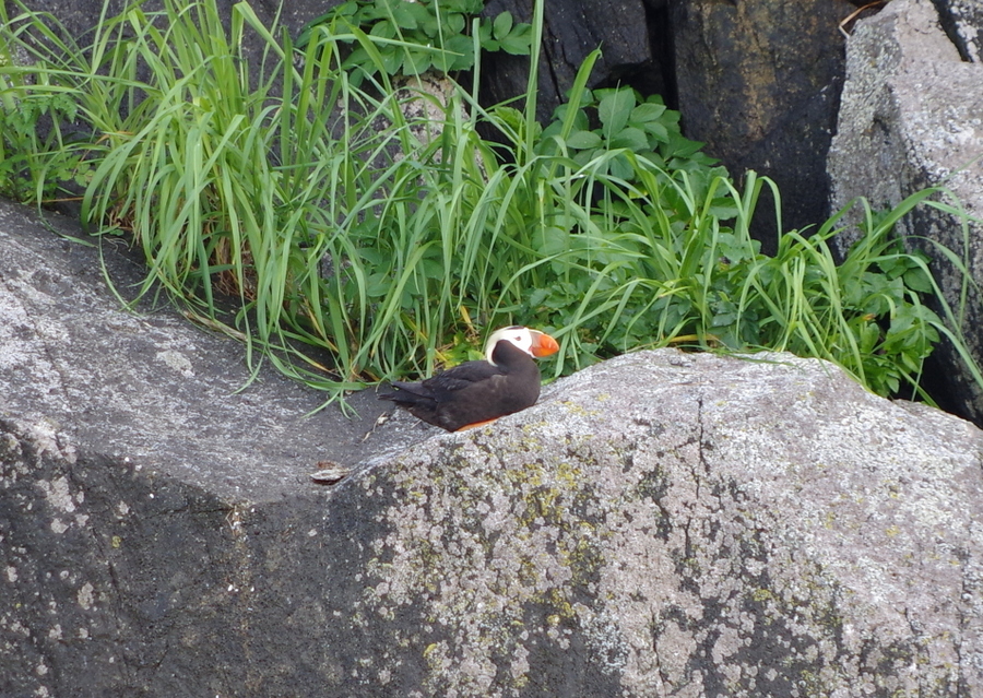
We stopped by an island covered in puffins. Two different kinds of puffins! The one in the picture above is the horned puffin (I think). The other one is called a tufted puffin. These little guys are probably some of my favorites. Puffins can actually dive 300 feet into the water to catch fish. Their bones are denser than most bird bones so they’re heavier and can travel farther down into the water at a faster rate.

IMGP3865

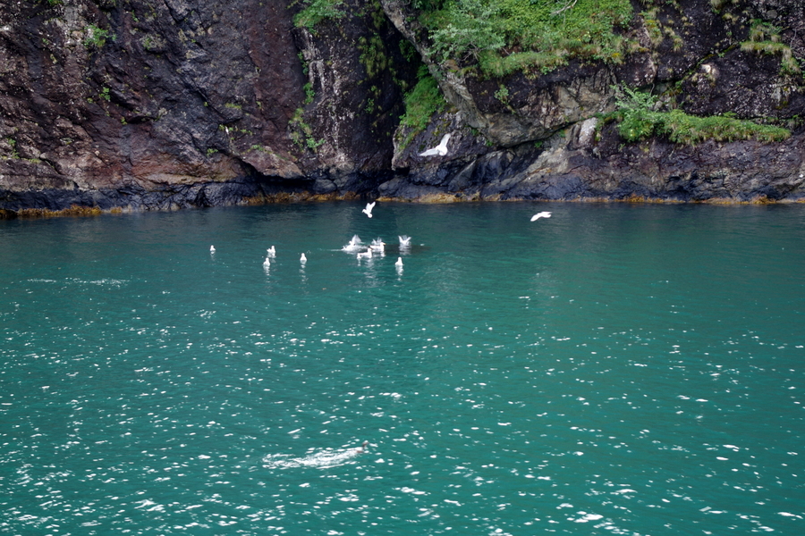
See the group of birds in the picture above? Now look right in the middle of them at the dark blob in the water. That blob is called a bait ball. Groups of different kinds of birds will work together to gather fish into a tight ball to eat. Puffins will dive down and scare the fish upward while other birds will start bringing them in from a shallower depth around the sides and then the birds feast. We saw several of these and they are kind of amazing to see!

IMGP3827

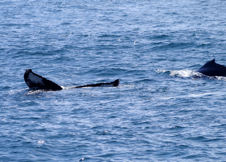
We saw a few humpback whales. They never came all the way up out of the water…just up for a breath then back down. I did catch the tail of a momma and the hump of the calf. We stopped in this area for several minutes hoping to see more of them, but the Captain had a schedule to keep and was trying to get us to Fox Island for our dinner. He apologized for not being able to stay longer but he was afraid the Chef would get after him for making us late for dinner. We didn’t mind. Fresh, hot food sounded so good by this time! Honestly, anything hot sounded good by this point!

IMGP3851

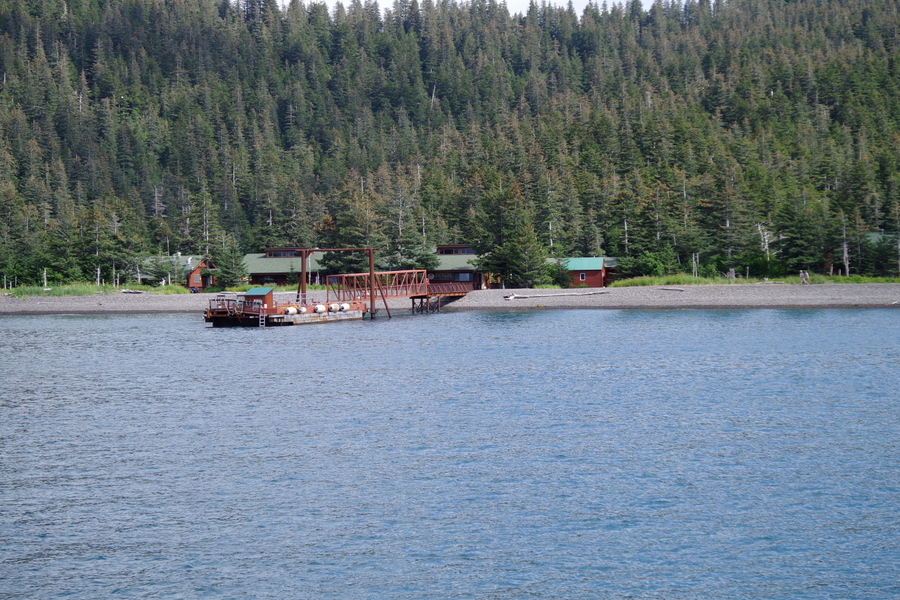
This is Fox Island. We docked here and unloaded for a steak and salmon dinner!

IMGP3852

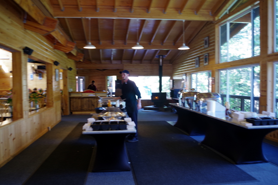
The dinner was buffet style. Sorry for the blurry picture, but…well…food. I was lucky to get this one shot off before grabbing a plate. We only had an hour to eat and do any exploring we wanted to do. There were some cabins on the island that you could rent.

IMGP3853

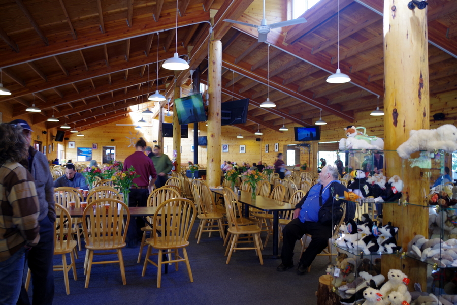
Here’s a picture of the dining hall. The food was great. The service was spot on. And there was a Park Ranger there who gave a presentation about Kenai Fjords NP while we ate.

IMGP3854

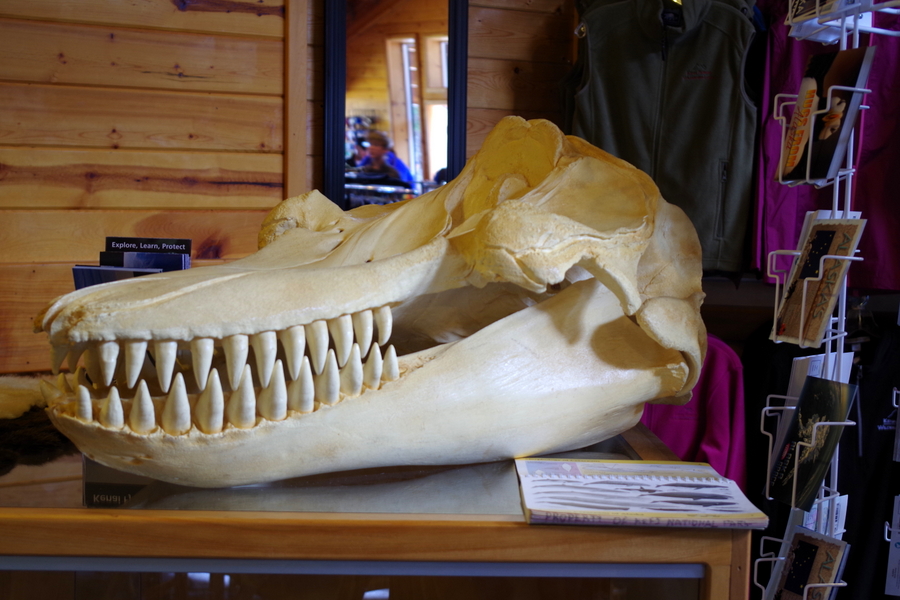
Any guesses as to what animal this skull belongs to?  It’s an orca skull! Look at those teeth!

The crew passed around freshly baked chocolate chip cookies as we were leaving Fox Island. They were still warm…

IMGP3878

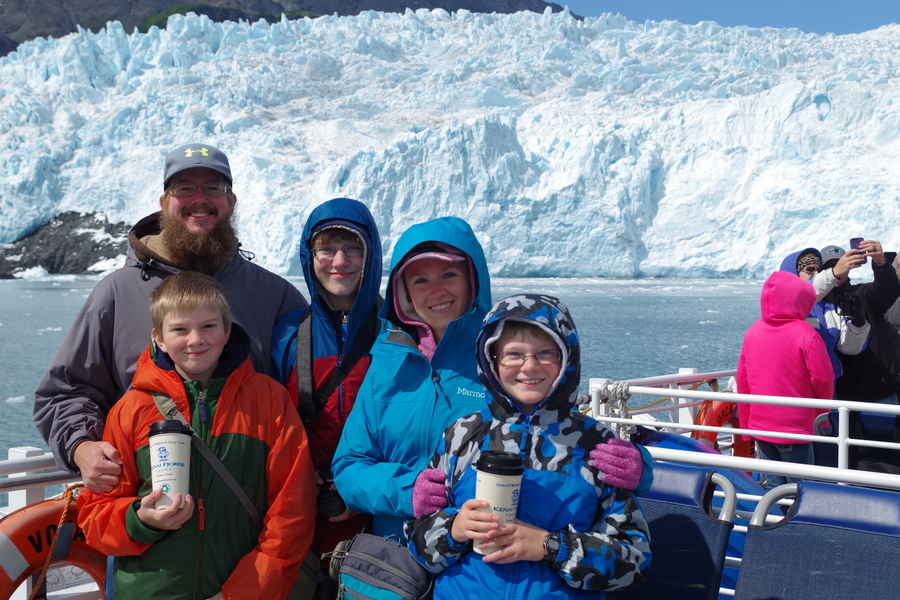
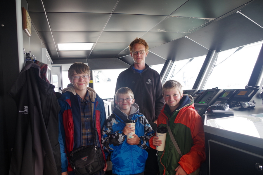
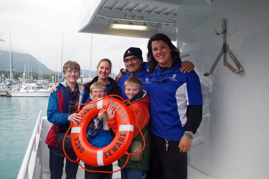
The boys wanted to get their picture taken with Captain Eric.  He was a great Captain! He really was amazing at getting us right up close into the tight spaces so we could experience Kenai Fjords better. See those cups the boys are holding? Those are $7 souvenir cups that you can buy and get free refills in all day.

IMGP3880

Here’s a picture of the boys with the First Mate and the Crew! I really feel like we lucked out with the Captain and Crew that we got. They were stellar! They made the day fun and entertaining and made sure everyone had everything they needed. If y’all ever find yourselves in Seward make sure you go to Kenai Fjords Cruise and ask for Captain Eric! You won’t regret it!

See y’all down the road!

#alaskabound

Wrangell St. Elias National Park

Wrangell St. Elias National Park

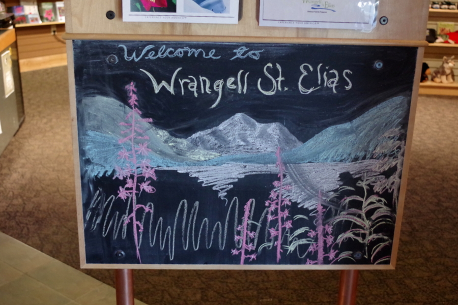
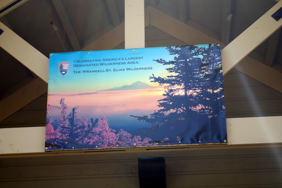
IMGP2618Welcome to America’s largest National Park! We were only able to spend a couple of hours here at the Park Visitor Center as we drove through to Valdez. A person could spend a lifetime exploring the mountains and ice fields. We really wanted to go to the Kennicott National Landmark (which is inside the NP), but it would have taken about 6 hours of driving just to get there…so we’re putting it on our “next time” list.

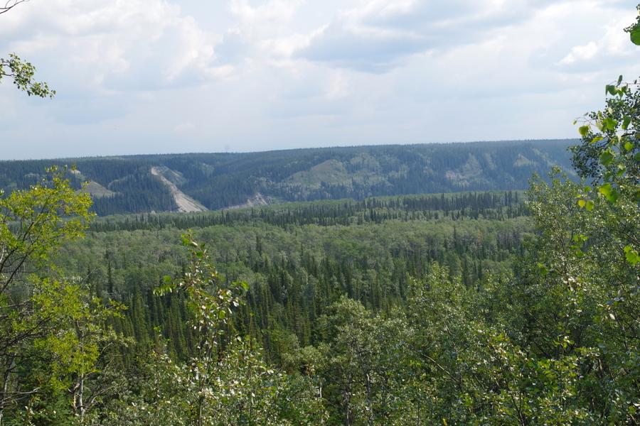
IMGP2619In the picture above you’re actually looking at a huge mountain range …you just can’t see it because of the clouds. Just to give you an idea of how big this park really is…six Yellowstones could fit inside Wrangell St. Elias! That’s huge! Most of it is still wild and without roads or trails.

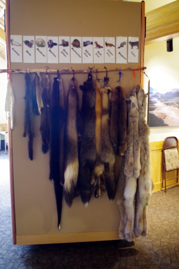
The visitor center at this NP was great! It had several hands on displays for kids to actually pick up and touch.

IMGP2644This one was my favorite. It was really something else to be able to experience what the fur on these animals feel like.

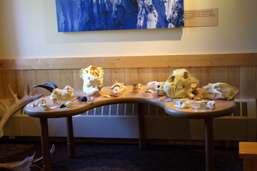
IMGP2641The skulls were really cool too! They had some teeny tiny skulls of bats all the way up to bear and moose skulls!

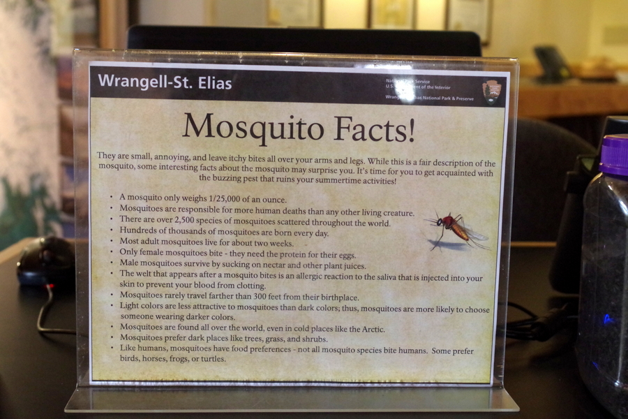
IMGP2638Here’s a few fun facts about Alaska’s unofficial state bird.

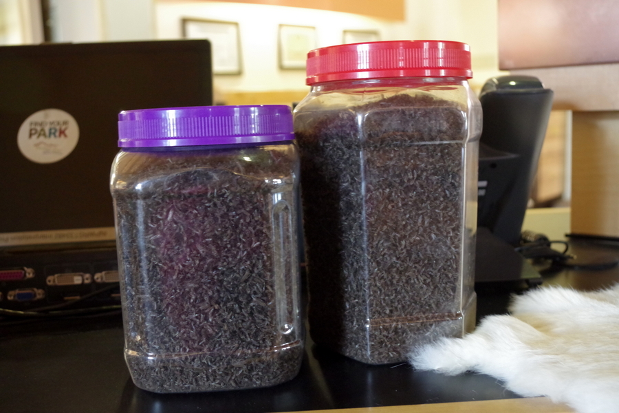
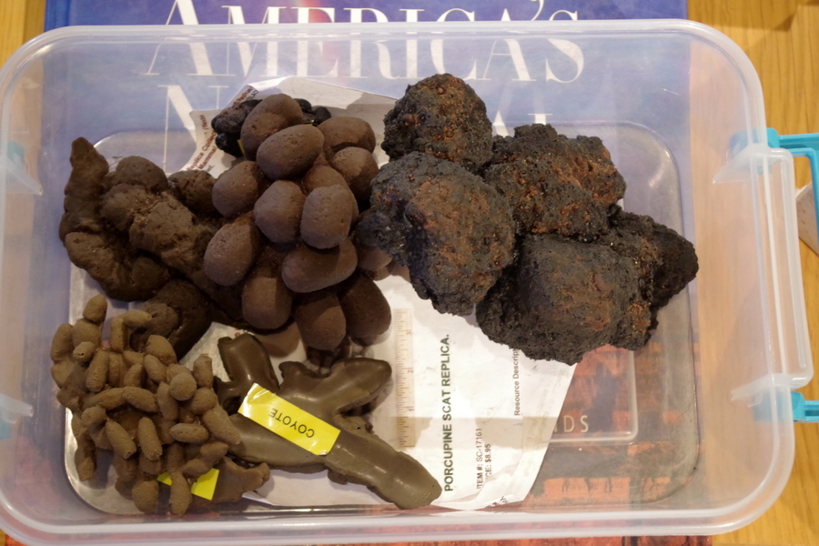
IMGP2639Any guesses as to what these two containers are filled with? It gave me the heeby jeebies looking at them even though they’re dead.

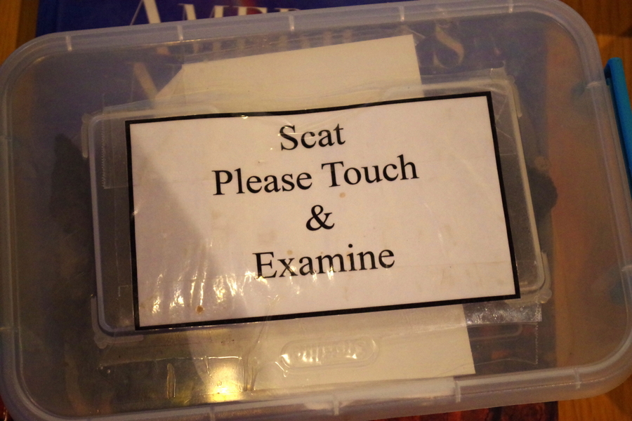
IMGP2642And then there was this plastic container laying out on the table. Yup, that really says scat. For those who don’t know what scat is…it’s poo.

IMGP2643I, of course, had to open it. I’m glad to report it’s not real. It looked very real and I paused before reaching in and touching.

IMGP2637There was a short path near the visitor center. It wound it’s way in and out of the forest to a few overlooks.

IMGP2628I kept peering into the forest looking for bears. I’ve heard they can be so quiet that they can sneak right up behind you and you won’t know they’re there.

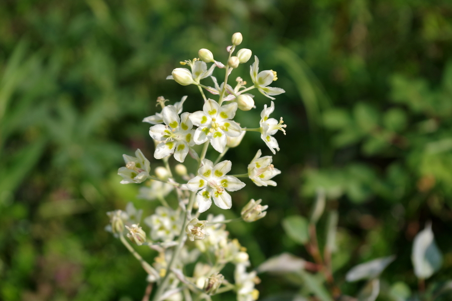
IMGP2620And then there were the flowers! I love how delicate these look.

IMGP2630I can’t get enough of these flowers! They’re really everywhere. I would love to get my hands on some seeds. I know a yard in Missouri they would look great in.

IMGP2633This is a fish wheel! We’ve seen several of them in the rivers and streams. We enjoyed the chance to get a close up look at one. The boys got another Junior Ranger badge! I think they’re up to eight now with two from Canada.

Well, that’s all the time we had for this amazing National Park. We would love the chance to come back and do more exploring!

See y’all down the road!

#alaskabound

Oh, Canada…

Oh, Canada…

IMGP2053

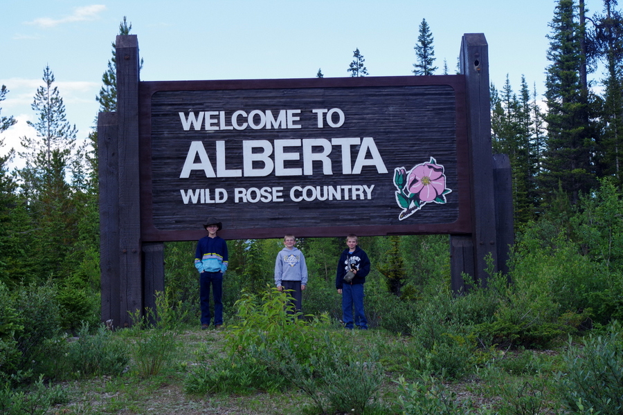
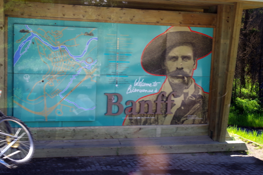
We crossed into Canada on June 21 and spent five days exploring on the way to the Alaskan border. We stayed two nights in Banff exploring Banff National Park and the surrounding area.

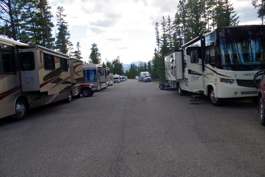
 IMGP2023The campground in Banff was different from what we’ve seen before. Instead of having a small driveway type of spot for each campsite, you just kind of pull up on the road and stop next to your table and hookups. It was unusual, but worked for us.

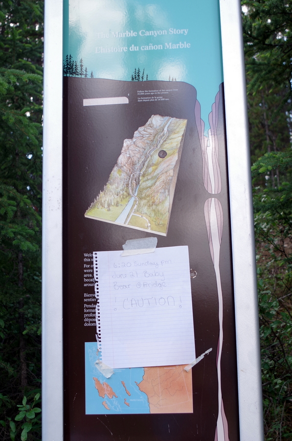
IMGP2147We tried to do a hike, but found a sign letting people know that a baby bear had been spotted not far down the trail only 20 minutes before we got there.

IMGP2030So, we poked around at the trail head and decided not to take the chance since we’d so brilliantly left our bear spray back at the RV.

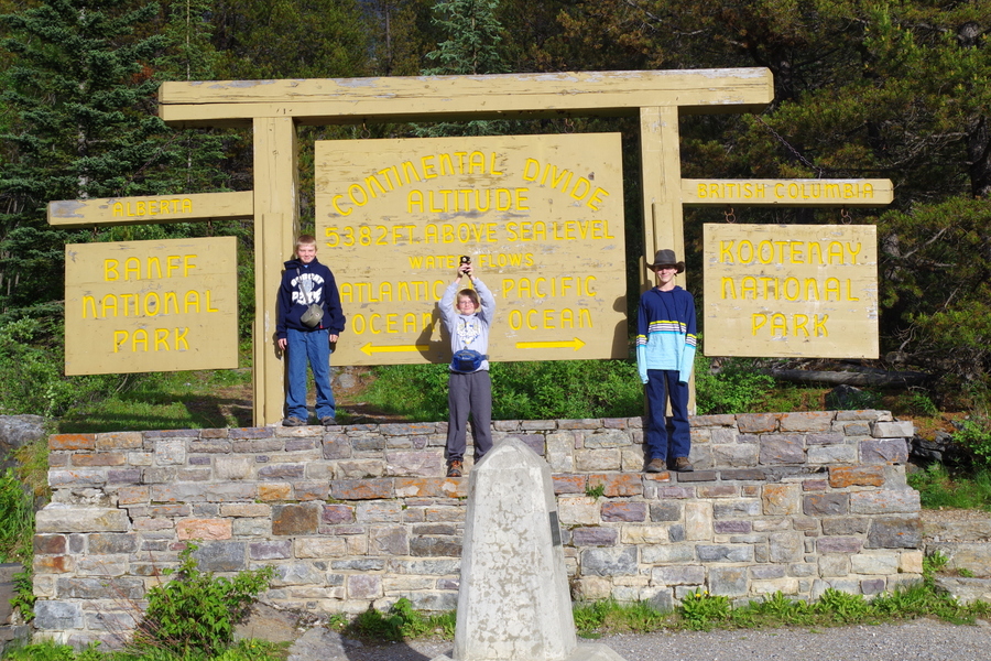
We did get to see the Continental Divide!

IMGP2026It was pretty neat to go a few miles toward Banff  and see the rivers flowing one way and go a few miles toward Kootenay and see the rivers flowing the other way.

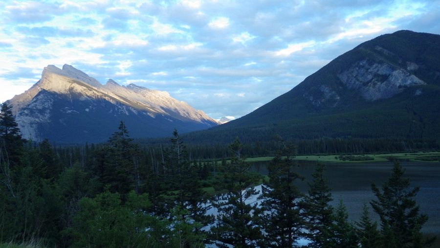
Everywhere we looked it was like looking at a postcard here!

RIMG0068

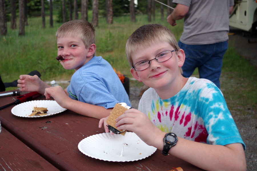
 We had to celebrate our first night in Canada with s’mores!

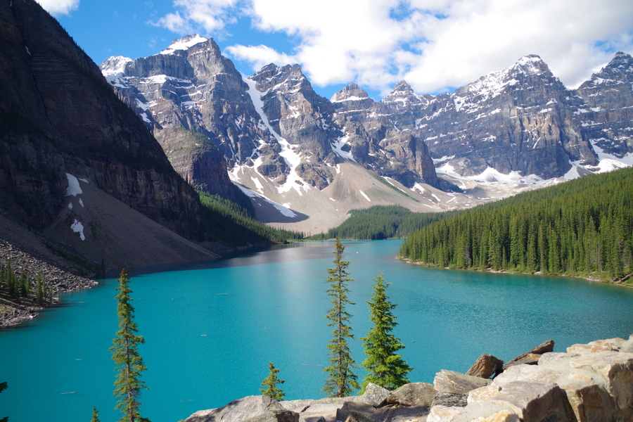
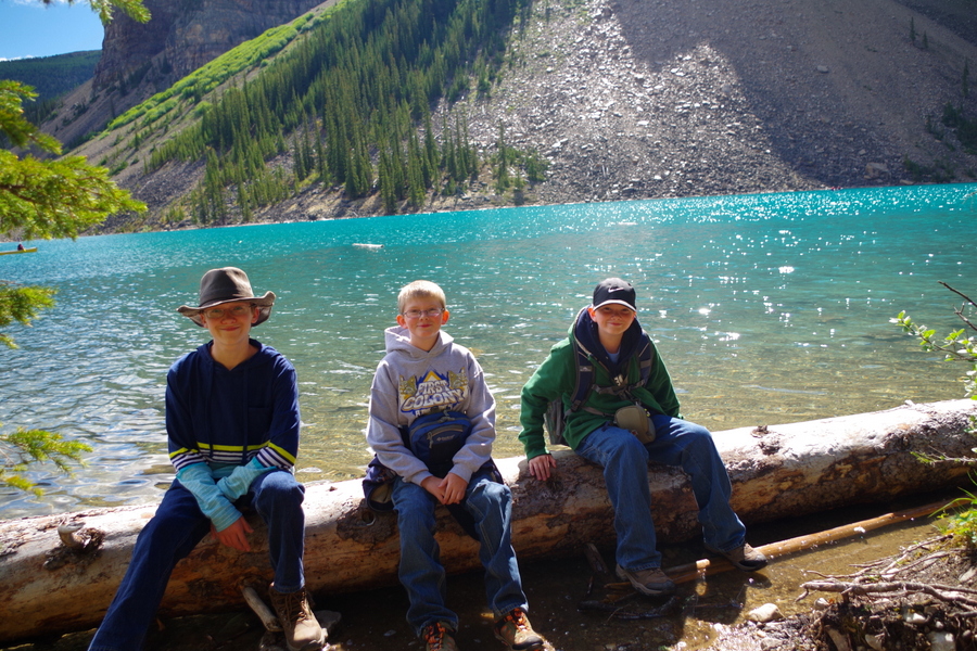
IMGP2156A good portion of the next day was spent at Moraine Lake.

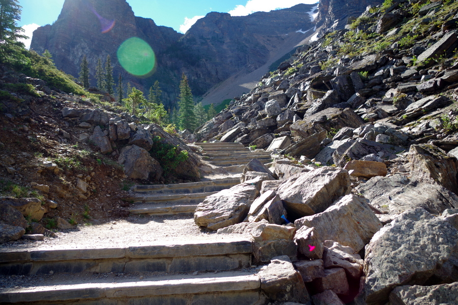
IMGP2098We had a great time hiking around the lake and up what felt like 200 stairs to the top of this path to get the picture above. You can see part of the stairs below.

IMGP2088But with a view like that, it’s hard to complain…too much.

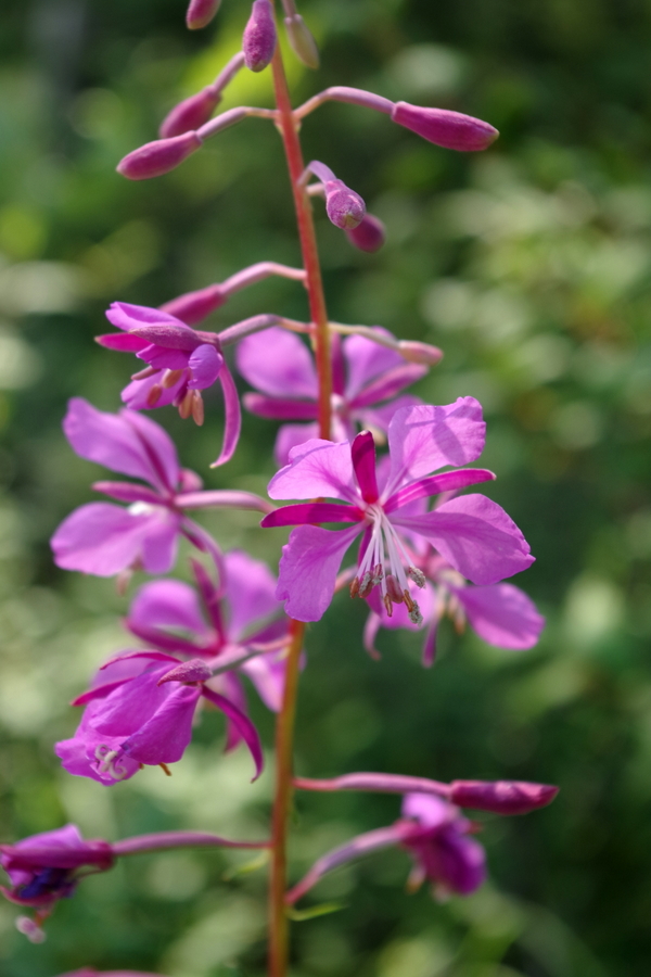
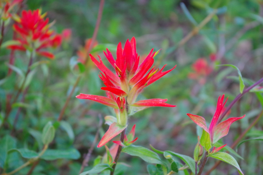
IMGP2104All along the roads in Alberta we saw this flower.

IMGP2063They grow in patches and clumps. I love the way they look like flames!

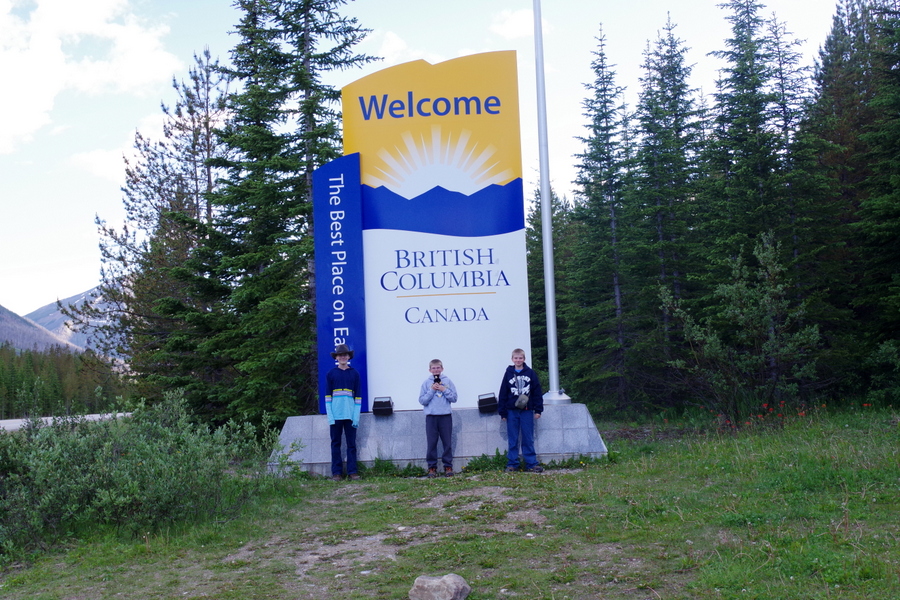
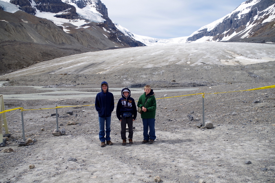
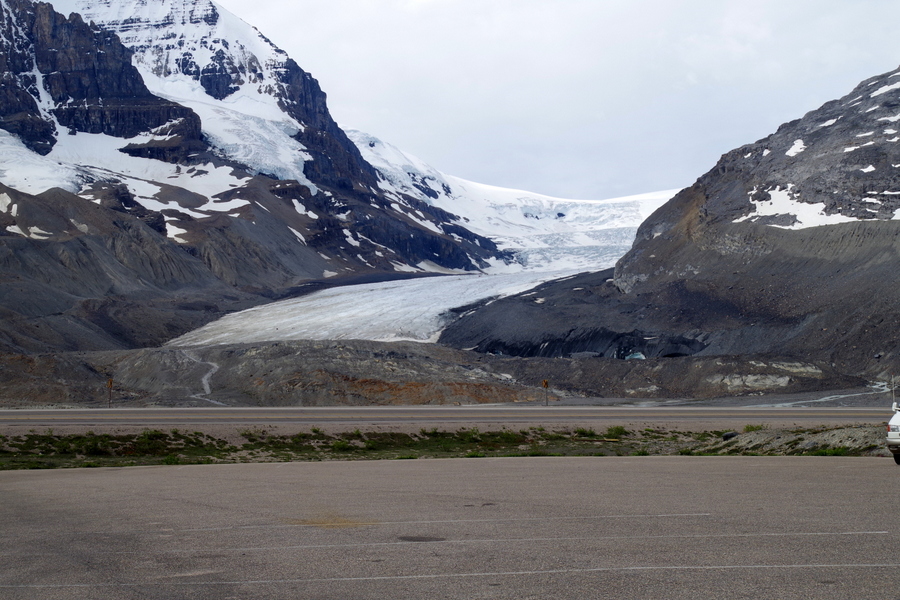
 IMGP2048We crossed into British Columbia and started down the Columbia Icefields Parkway between Banff and Jasper National Parks. The views along the road were wonderful! We stopped at the Icefield Center toward the middle of the drive where you can hike up close to the Athabasca Glacier. It was our understanding you could hike up and touch it, but it was all roped off.

IMGP2219

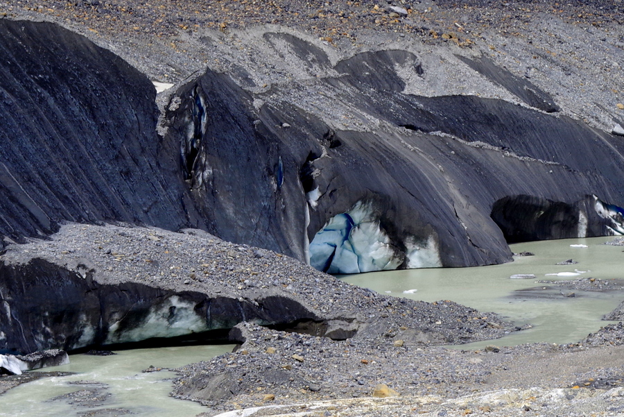
IMGP2220You can take a guided tour up on to the glacier, but we didn’t have time and to be honest, it’s a little pricey to just go stand out there. You can’t walk around on it because you might fall in a hidden crevasse. The view of the glacier was better from the visitor center.

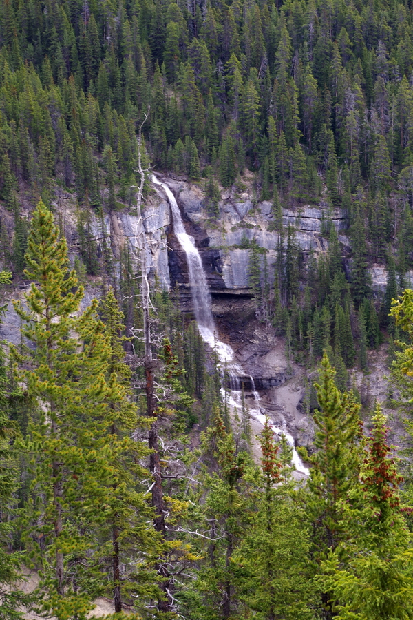
IMGP2203We stopped to get a picture of Bridal Veil Falls.

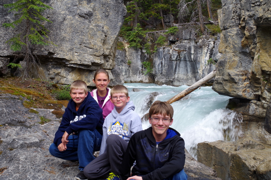
IMGP2186We found a “trail” down to another waterfall. So, of course, we had to climb out and get a picture with it!

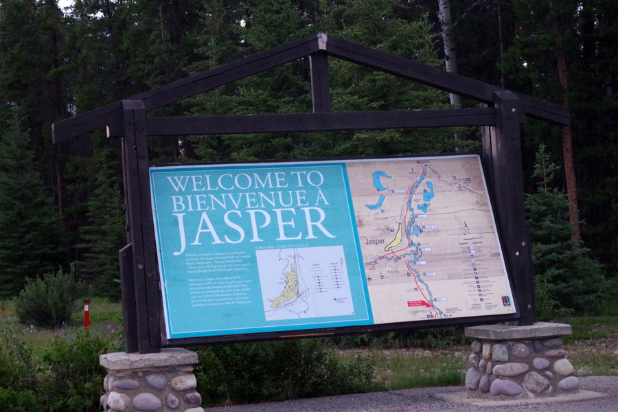
IMGP2200We made it to Jasper and only had one afternoon to get any site seeing done.

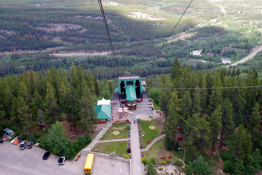
IMGP2309We stayed at the Whistler Campground which was right down the road from the Jasper Gondola. The gondola takes you about 2300 meters up Whistler Mountain where you can then hike another mile or so to the summit.

IMGP2226

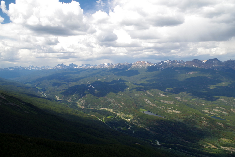
 The view was spectacular!!

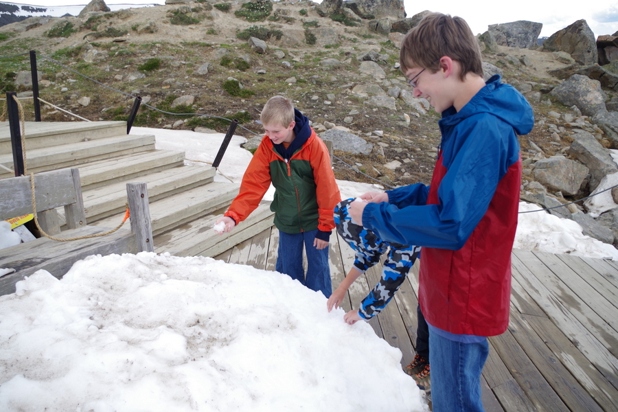
IMGP2232The boys had to throw snowballs off of the mountain. They thought it was pretty cool that there was snow during the summer.

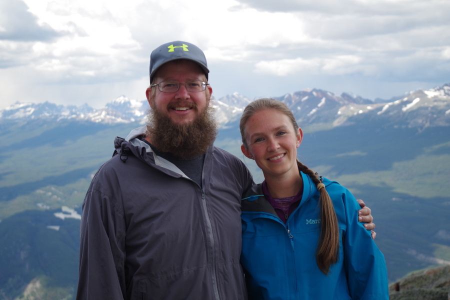
IMGP2236And, we had to get a photo to prove we were actually there!

IMGP2241From the gondola center on top you can see the town of Jasper. I love the different colors of the lakes and river!

IMGP2258Can you spot the rainbow in the picture above? A rain storm had just passed by.

We got half way up to the summit and this came over the top of the mountain.

IMGP2261We pressed on. It was just another shower… Ten minutes from the summit…

IMGP2256..this happened and it wasn’t just rain. It was a winter mix of sleet and snow and wind! We kept going since we were sooo close…until the lightening started. The first zip of lightening had my hair standing up and had us all hot-footing it back down the mountain to the safety of the gondola center. By the time we got there we were soaked and frozen, but we have a great story and memories that we’ll never forget! We were bummed to get so close to the summit and not make it.

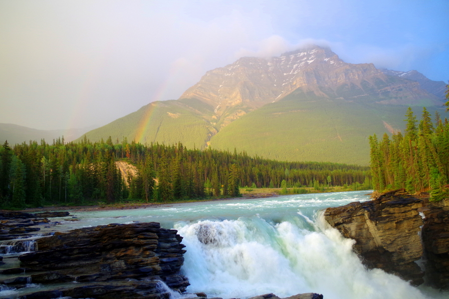
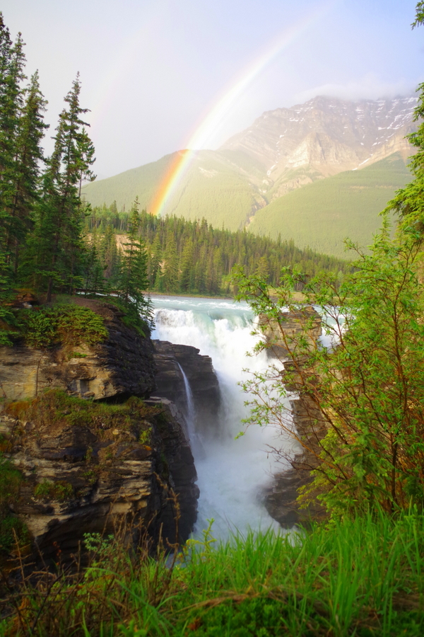
Once we dried off, we ran back out to find the Athabasca Falls. We got there about 9:30 pm and had the place to ourselves! It was wonderful!!

 IMGP2298 The double rainbow was the icing on the cake! It’s faint, but it’s there!

IMGP2302The next few days were…well…a blur. We had very long days driving.

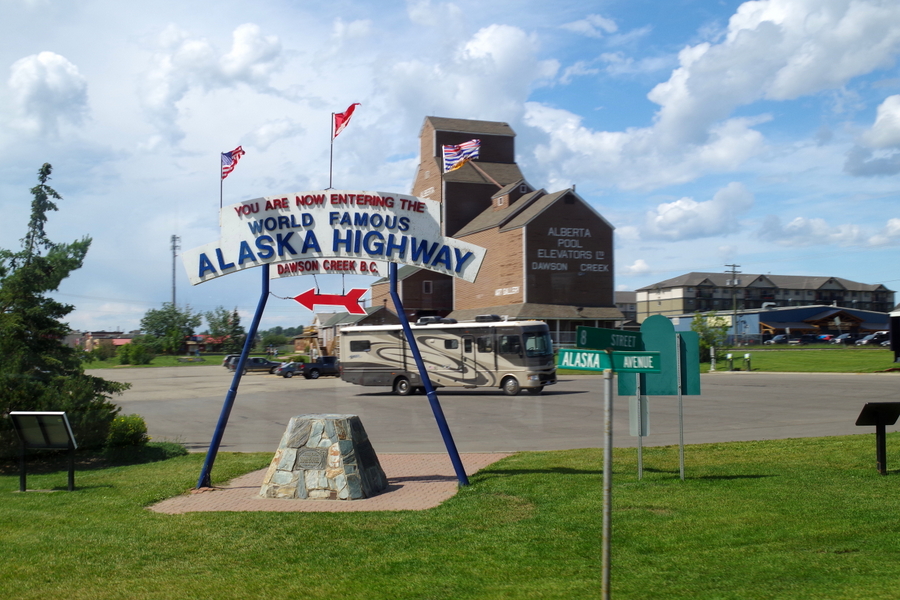
We got to drive the ALCAN Highway,

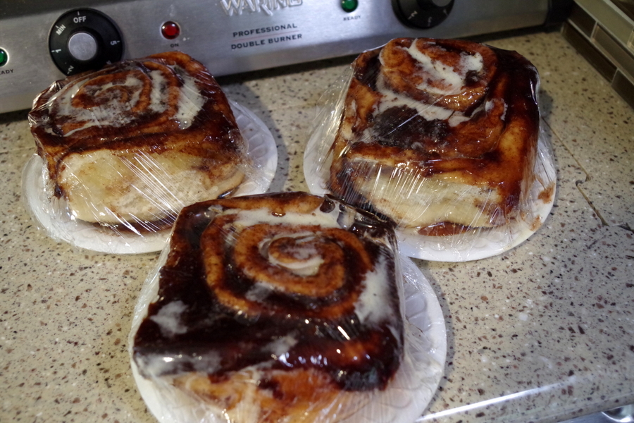
IMGP2326got some of the best cinnamon rolls ever (they were still warm from the oven),

IMGP2342saw mountains, glaciers, rivers, and lakes…

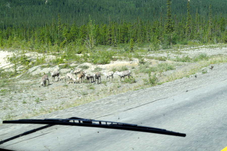
IMGP2359And then there was the wildlife…Stone sheep,

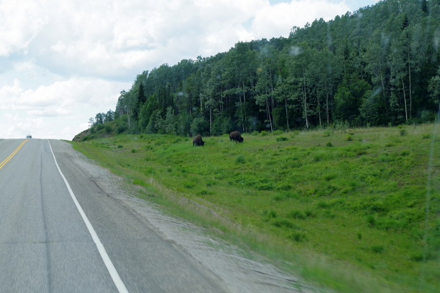
IMGP2374wild bison,

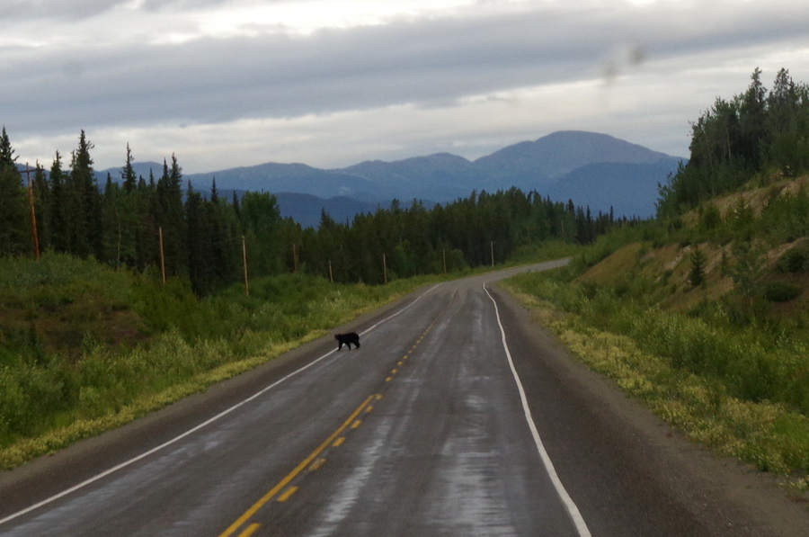
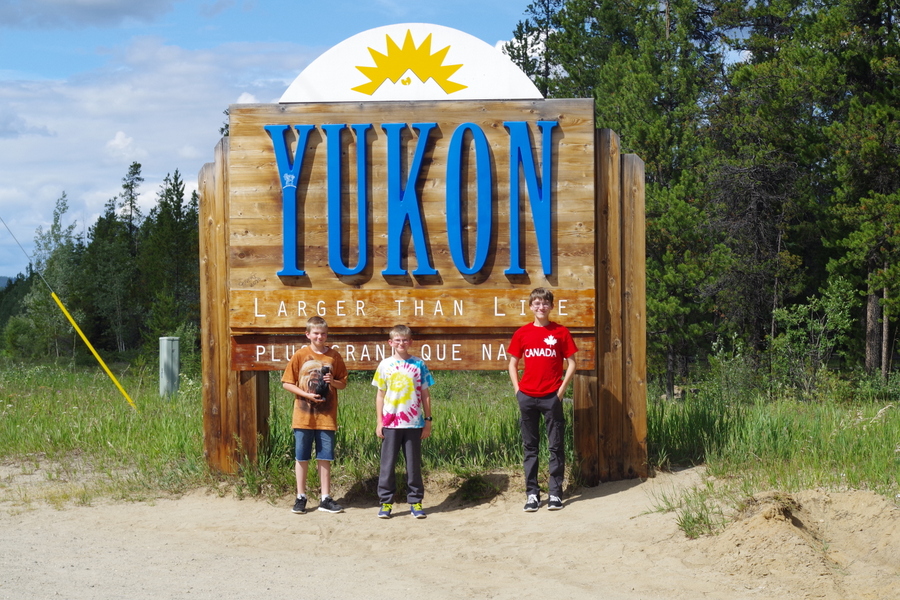
IMGP2389and bears! We saw some moose, elk, and deer too, but I didn’t get any good pictures of them.IMGP2412We entered the Yukon on the fourth day and made a short side trip

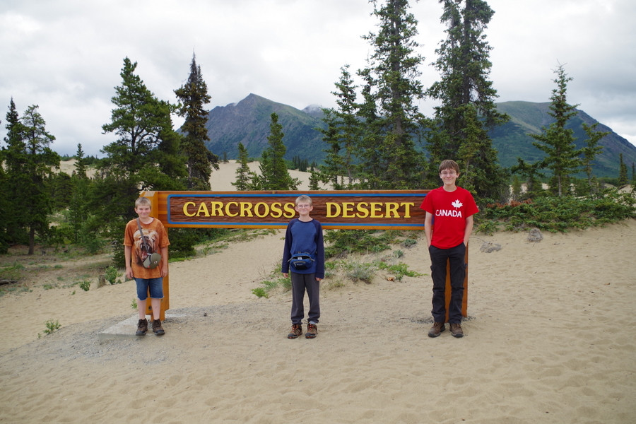
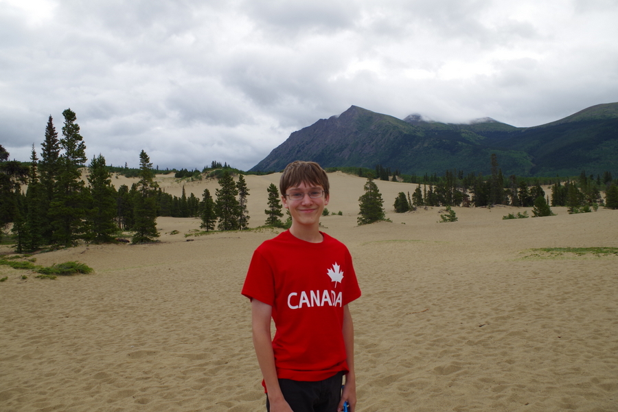
IMGP2392to Carcross, YT. The town was neat, but we really went to see the desert.

IMGP2415

IMGP2418

IMGP2420Yup, you read that right…there’s a desert in the Yukon!

IMGP2435

IMGP2436We strolled around the dunes for a few minutes, then hit the road again!

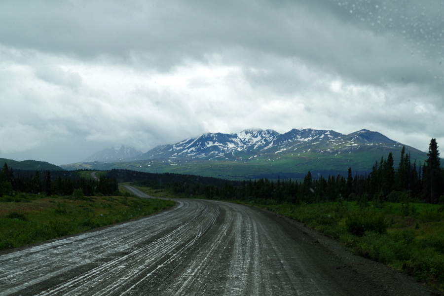
The roads weren’t too terribly bad. We’ve seen worse. We had to drive down this dirt road between Haines Junction and the border into Alaska.

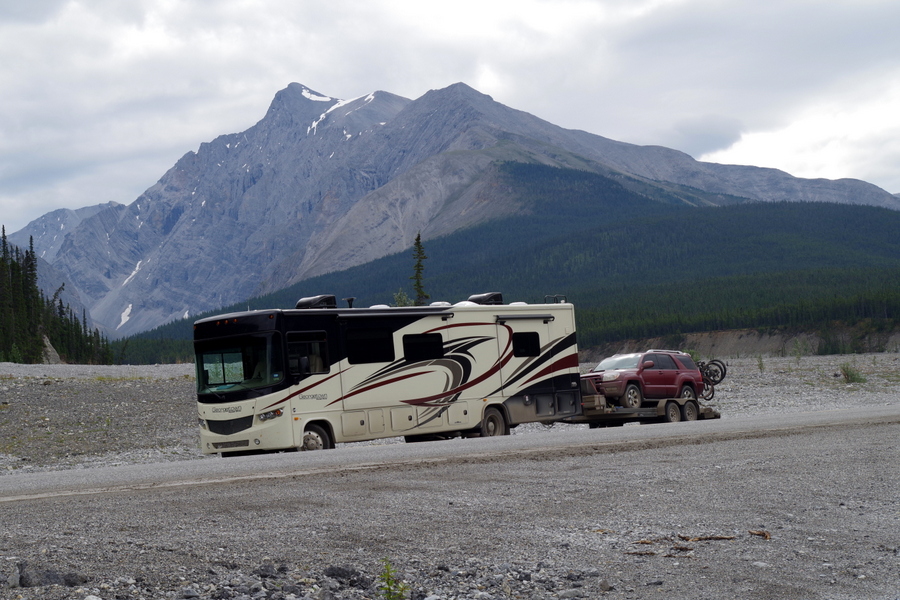
IMGP2467Our poor RV is a mess!!

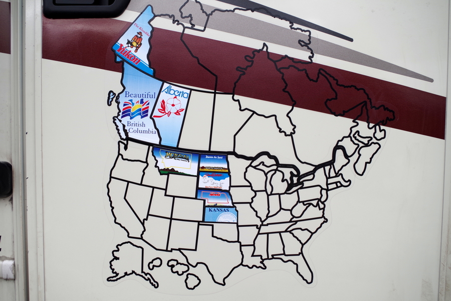
We’re still adding stickers to our map! This is what it looks like right now.

IMGP2429We spent five very long, very eventful days traveling through Canada and we loved every minute of it!

Oh, Canada…we’ll definitely be back to visit!

See y’all on the road!

 #alaskabound

Little Bighorn Battlefield National Monument

Little Bighorn Battlefield National Monument

IMGP1316

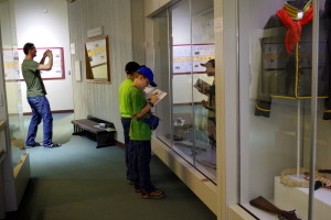
The Little Bighorn Battlefield was a lesson in history for the boys. The Rangers do a great job retelling the story of what happened and the museum has some amazing artifacts. We spent close to five hours here walking the trails, listening to a Ranger Talk and learning about Lt Col. George Custer’s Last Stand.

IMGP1251The museum was our first stop. The Little Boys didn’t waste any time getting started on the Junior Ranger Field Guide.

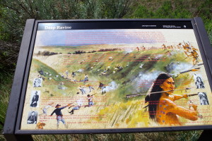
We’ve all heard the story, but walking the paths while reading the descriptions at each tour stop really illustrates what happened here.IMGP1311The Picture above shows what was at each stop on the driving tour.

This National Monument memorializes not only Custer’s last battle and the loss of hundreds of soldiers, but it also memorializes the Northern Plains Indian’s fight to preserve their ancestral way of life.

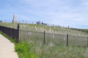
IMGP1289The picture above is Last Stand Hill. It’s the final resting place of not only Custer, but nearly 40 other soldiers.

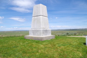
IMGP1292There’s a memorial at the top of the hill dedicated to the hundreds of soldiers who lost their life in the battle.

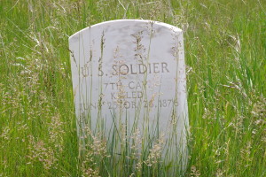
IMGP1283There’s a headstone like this for every soldier who lost their life. They’re placed where the soldier was found. They look like ghosts dotting the landscape.

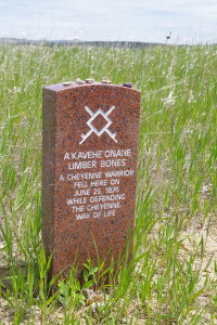
IMGP1299All of the Indians who lost their lives have headstones that are like this one. They too dot the landscape, but there aren’t nearly as many…less than 100.

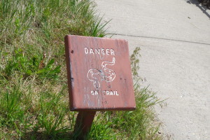
IMGP1294Several different signs reminded us that we’re in rattlesnake country. The boys kept asking if each sound they heard was a rattlesnake.

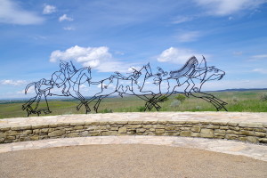
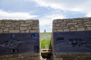
IMGP1301There is a wonderful Indian Memorial there as well.

IMGP1305You can see the Soldier Memorial through a slit in the wall.

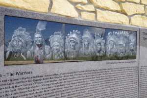
IMGP1308This is a picture of nine remaining Warriors that gathered together back in 1948.

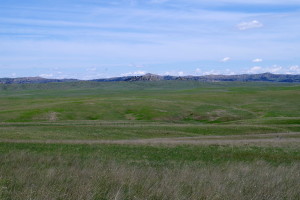
IMGP1280The battlefield looks so peaceful now. It’s a beautiful area.

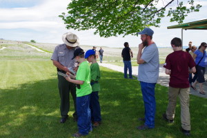
IMGP1314The Little Boys finishing up their Junior Ranger Field Guides. They’re up to four badges now.

We all walked away with a better understanding of what really happened during the Battle of Little Bighorn.

See y’all down the road!

Historic Graffiti

Historic Graffiti

IMGP1198

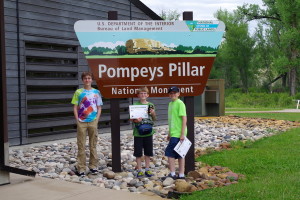
What is Pompey’s Pillar National Monument? It is the only place you can be assured to stand in the footsteps of William Clark of the Lewis and Clark Expedition.

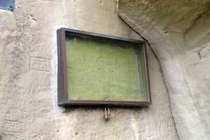
IMGP1167Clark carved his name in the rock…I guess you could call it historical graffiti. This carving is the only remaining physical evidence of Lewis and Clark’s Expedition still around today. They’ve taken measures to protect it because there are tons of other names carved into the rocks around it, but you can clearly see his name under the glass.

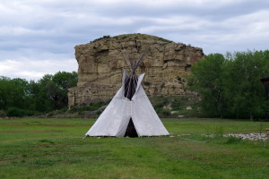
IMGP1195Clark named the pillar “Pomp’s Pillar” using his nickname for Sacagawea’s son.

IMGP1176You can walk all the way up to the top using the 200 or so stairs. It’s worth it.

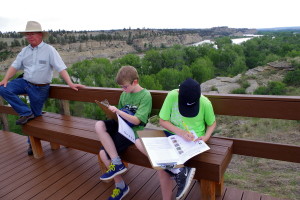
IMGP1180The view is great and there are benches up there you can use to rest up for the trip down if you need to. The little boys utilized the benches to work on their Junior Ranger Field Guides. You can also see our tour guide to the left of the picture.

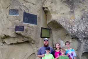
IMGP1172Our tour guide was very knowledgeable and volunteered to take a picture of all of us.

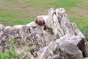
IMGP1170He also pointed out a family of marmots

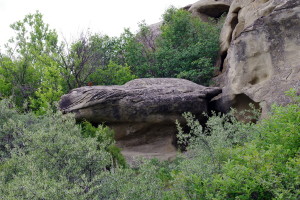
IMGP1173and showed us a rock that looks like a mountain lion!

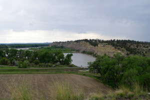
IMGP1184There was a short, paved walk way that went down by the Yellowstone River. It was a nice leisurely stroll with some educational signs along the way.

We spent some time in the museum learning about the Lewis and Clark trail and some of the hardships they endured. There were replicas of boats they made and some rawhide clothing the boys could try on.

The visit didn’t take long and it was very educational for all of us. It was well worth the small entry fee.

See y’all down the road!