Category: Hiking

Desert Hot Springs

Desert Hot Springs

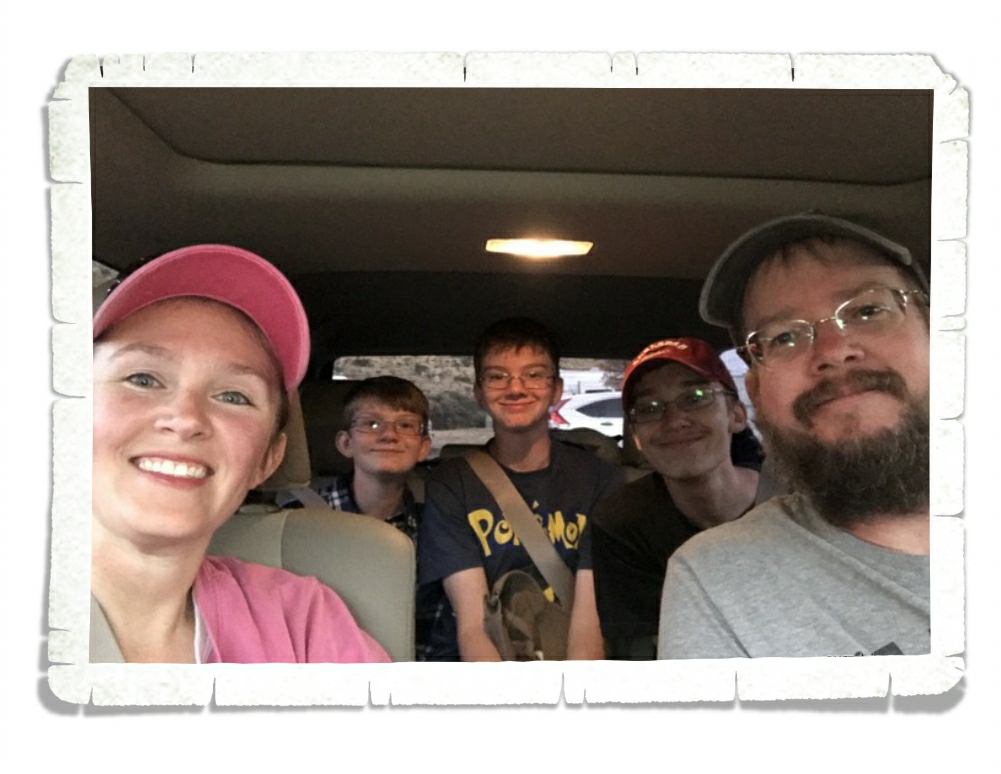
Hey Guys! We spent one very hot, very windy week in the Desert Hot Springs area of California. We were there at the end of April and the daily temps reached a scorching 90* by 10 every morning.

We spent a day exploring Joshua Tree National Park. If you’re going to visit this National Park come in the winter. Winter daytime temps are in the 60s vs. summer when the day time temps exceed 100*. Everyone says the best time to visit is March and April. We were there at the end of April and it was already too hot.

We didn’t do very much hiking here. It was just too dang hot and windy. We wanted to see all of the gigantic boulders so we hiked the Hidden Valley loop. This area is very popular with rock climbers so it can be a bit crowded.

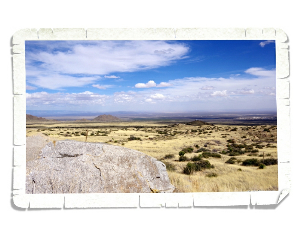
We made it out to Keys View. Guys…check out that view! If you look hard enough you can see the Salton Sea and the San Andreas Fault in the pic above. Keys View is a quarter mile loop…so it’s pretty short, but we found some of the best views in the park here.

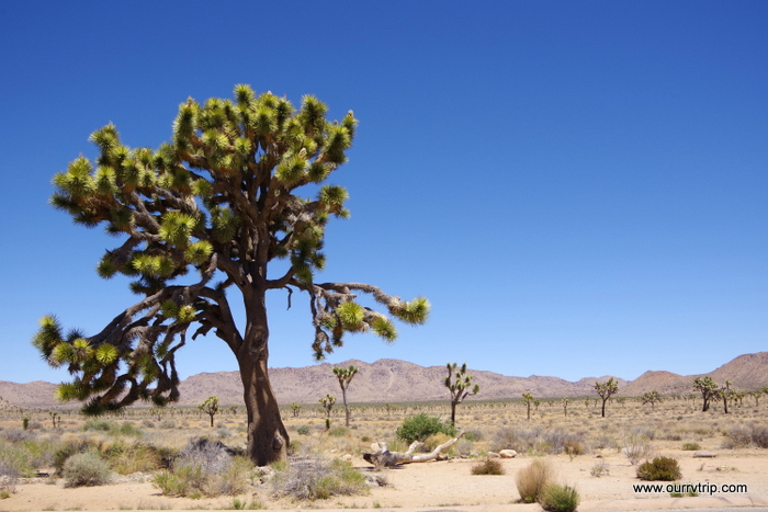
Did you know…a Joshua Tree isn’t actually a tree? Its actually the largest species of yucca! What?!? Crazy, right? For the first ten years, the Joshua tree grows about three inches a year. They can live for hundreds of years but unlike the saguaro I told y’all about…Joshua trees only grow to about forty feet tall. Driving through this National Park felt a little like driving through a Dr. Seuss book. Ha!

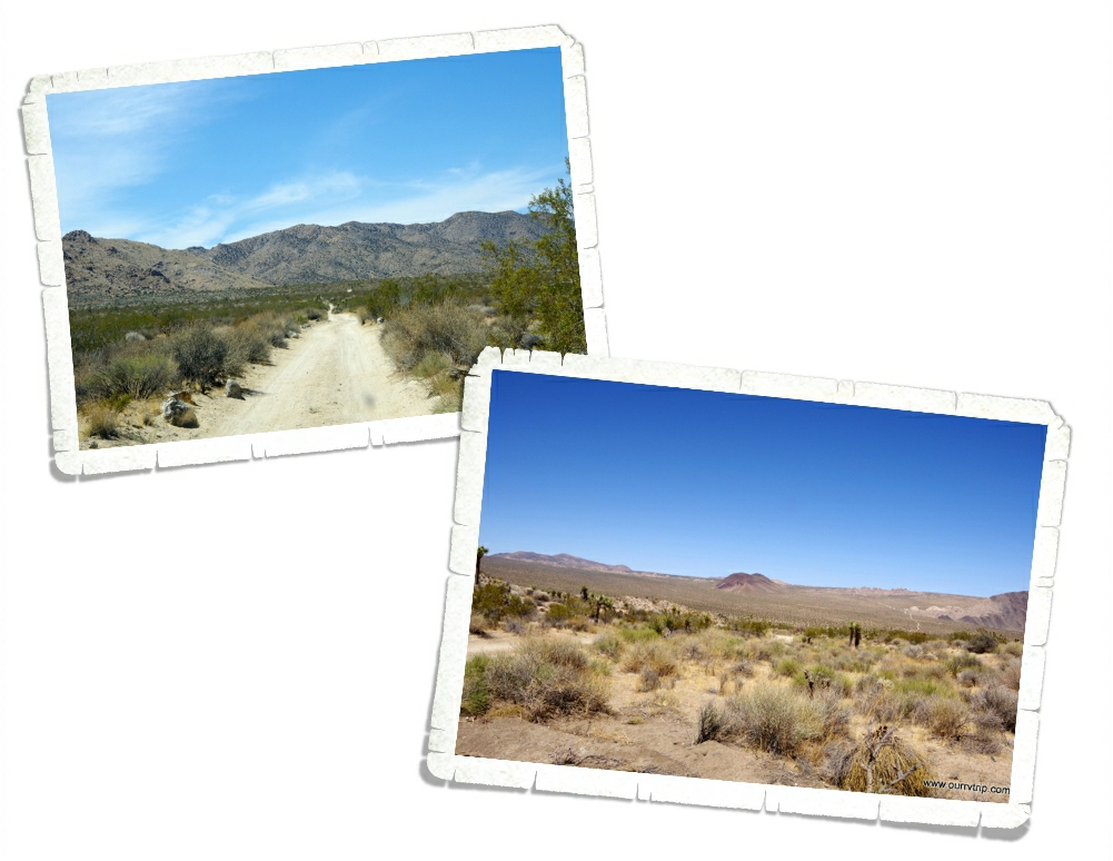
Yup, we found a dirt road to explore while we were in Joshua Tree NP. Are you surprised? ;-p We drove the 18 mile Geology Tour Road. It was a pretty narrow dirt road, but it wasn’t bad at all. We never had to kick it up into four-wheel drive and the views were all pretty stellar!

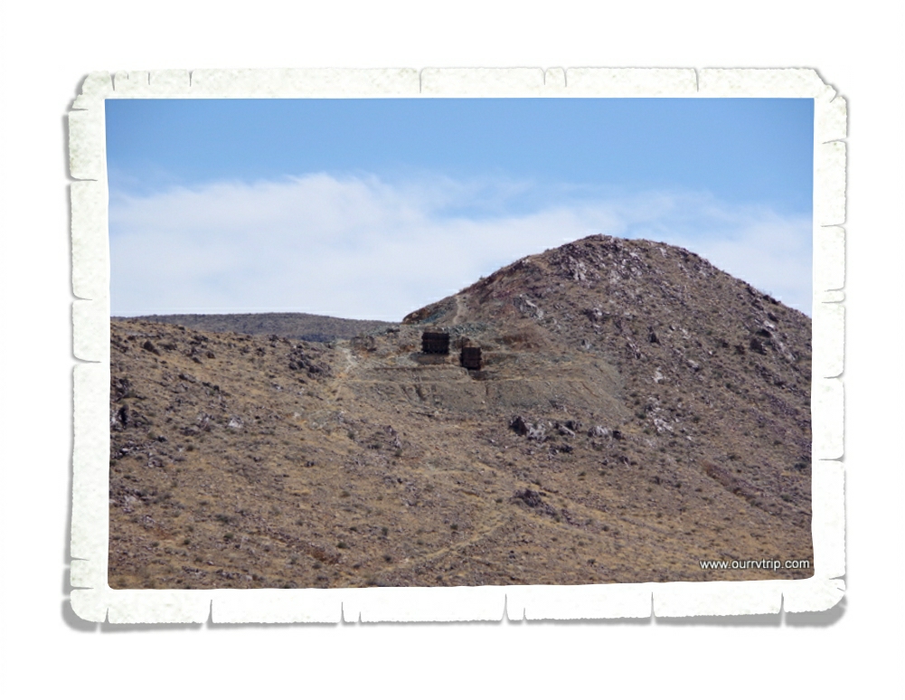
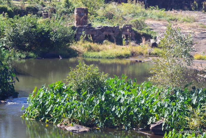
Scattered throughout Joshua Tree NP are the remnants of old mines. The one above is what’s left of the Silver Bell Mine. Gold in the 30s, lead in the 40s, and copper in the 50s. There are several old mines you can hike to, but most of them are unsafe. So, this is as close as we got.

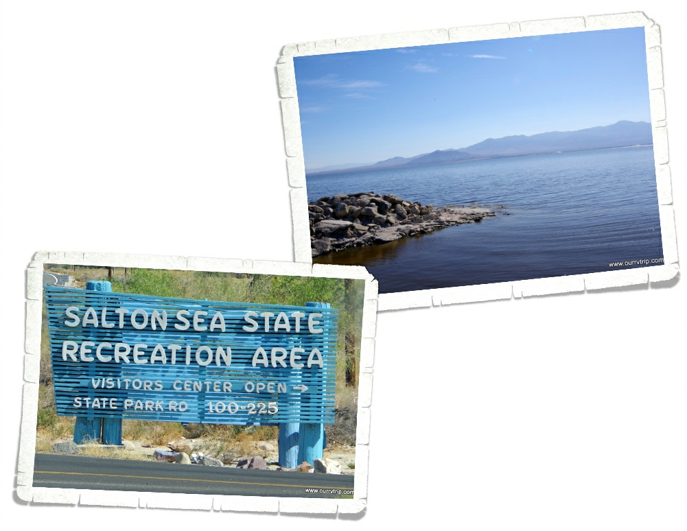
It’s not technically a sea any more, but a long, long time ago it was part of what is now the Gulf of California. The Salton Sea is California’s largest lake at around 35 miles long and 15 miles wide. It sits 235 feet below sea level. Most lakes have a natural outlet flowing to the ocean, but the Salton Sea doesn’t. The only water it gets is through rain and agricultural runoff.

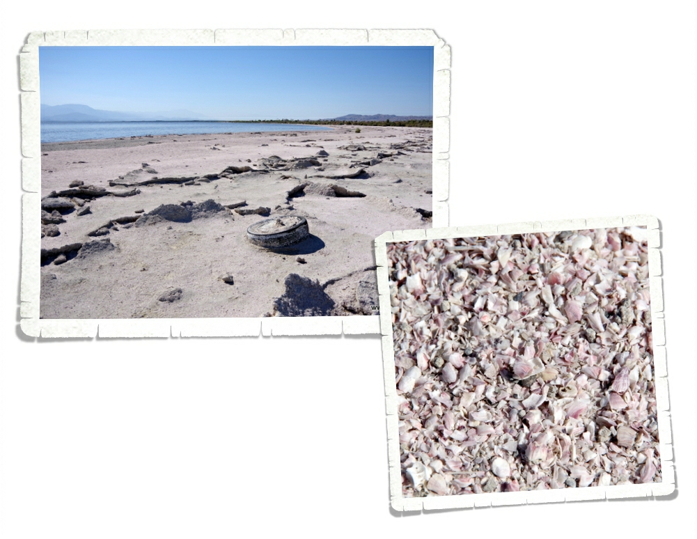
The lake you see today is only the current form of the many different lakes that have filled this area over millions of years. Because of all of the agricultural runoff there is a peanut butter type sludge that sits at the bottom of the lake. Fishing for tilapia is a popular recreation at Salton Sea, but I don’t think I would eat anything that came out of this lake. You think it’s sand until you get closer. It’s the skeletons of thousands and thousands of barnacles and fish. Neat but gross at the same time. There are old motels and and boarded up yacht clubs all over the shores. If you go exploring here, do it in a safe spot. We’ve read horror stories of people sinking to their ankles and then having to throw their shoes away due to some residue on them that eats the shoe. We didn’t encounter that at all, but we didn’t stray from the state park head quarters.

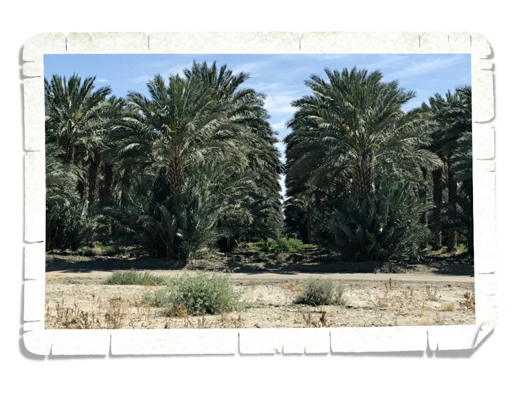
Those…are date palms. The first date palms in the US were planted by missionaries in California in 1769. There are a few different date farms in the Desert Hot Springs area. We went to Oasis Date Gardens.

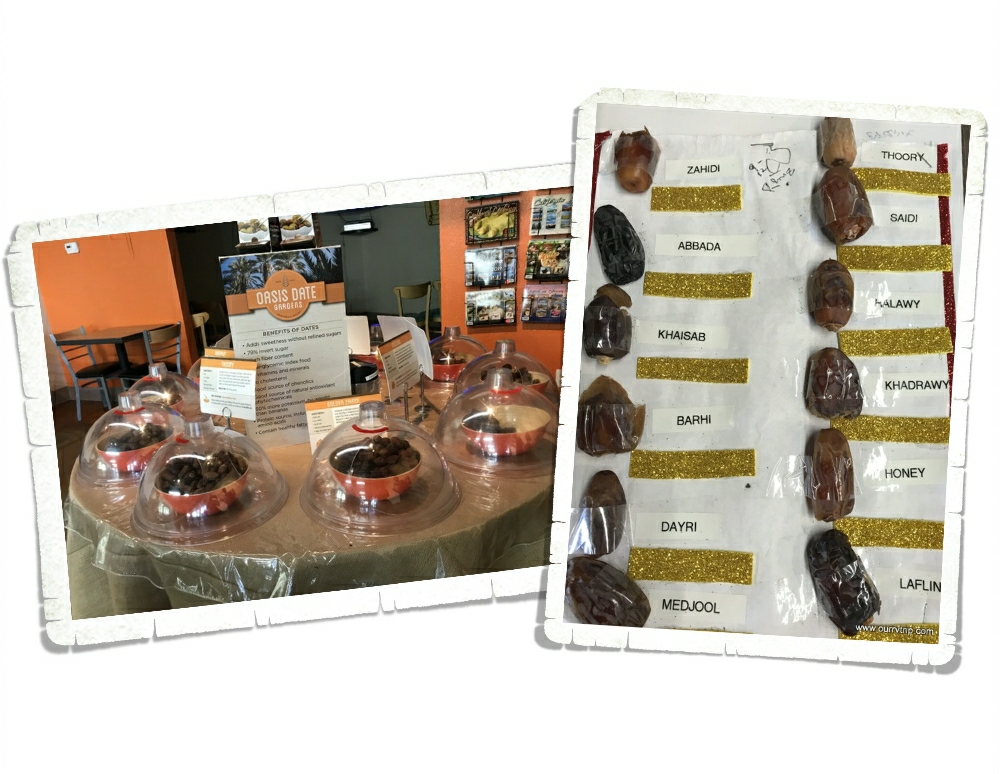
Oasis Date Gardens was established in 1912 and is a whopping 175 acres full of date producing palm trees. YUM! The Oasis Date Gardens doesn’t give tours but they have a video you can watch and there are dates set out for sampling! We had no idea there were so many different kinds of dates. And that they tasted so differently!

I had to try the prickly pear date shake. Had to. There just wasn’t any way around it. It was soooo good. If we’d found this place our first day in the Desert Hot Springs area…I would have gone back to Oasis Date Gardens at least four…maybe five times just for this shake.

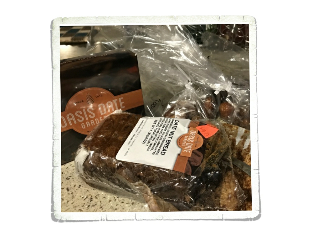
We walked out with some goodies. The boys didn’t waste any time getting into the date bread. It didn’t last long.

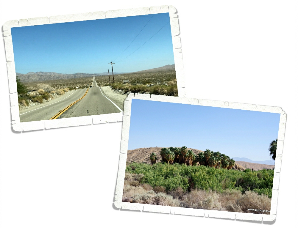
Over in Palm Springs there’s plenty of green. Big palm trees…lots of lush bushes…but the rest of this area looks…well, brown. Along with some very nice shades of tan. We drove about 15 miles down this road and found a natural oasis. A spot of green in the middle of the desert.

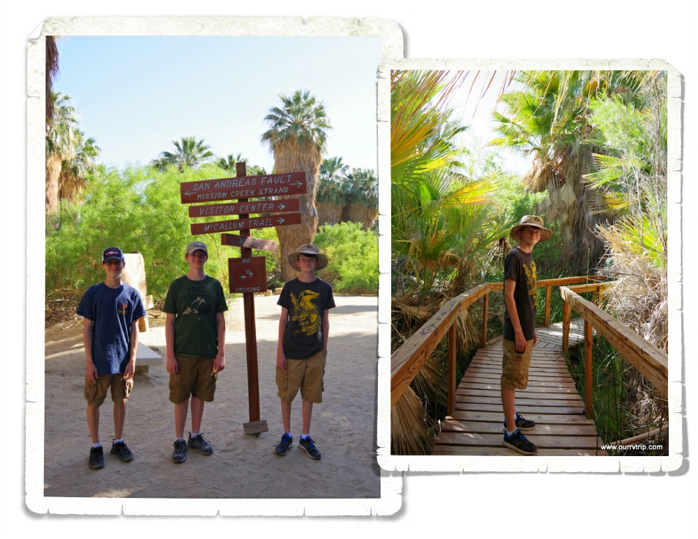
There were several hiking trails here. We stuck to a short boardwalk hike because we were warned that the rattlesnakes were waking up and were very active. And…they like to hide in the trees. Um…nope. Nope. Nope. That’s a great big nope from me. It was bad enough to worry about danger noodles in bushes and near big rocks…but to have to worry about them falling out of the trees onto us…I’m gonna pass on that every time. We saw everything we wanted to see. It was really cool to walk among the huge fan palms. This particular oasis sits on top of the San Andreas Fault. The boys are standing on it in the pic above. You really can’t tell. If the sign didn’t tell you, you’d never know.

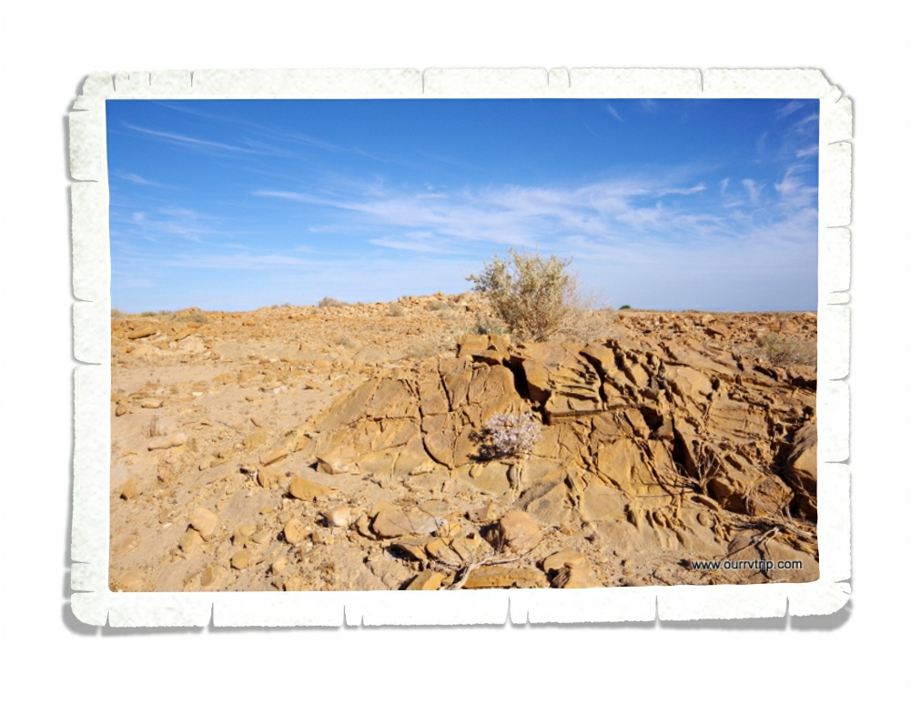
We were told of a different place to see the San Andreas Fault in it’s more natural state. It was out in the middle of nowhere and the whole area was in upheaval. It was something else to see it.

We stayed at the KOA. There was zero shade and temps of over 100* every day. It was a very very hot week. They KOA had its own hot springs spa. We didn’t use it because…we were hot enough as it was. The thought of getting into hot water was not at all appealing. We did, however, utilize the pool! Most of the time we were the only ones there.

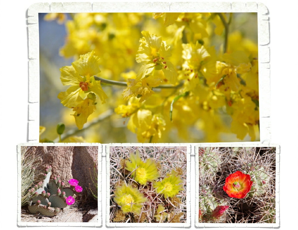
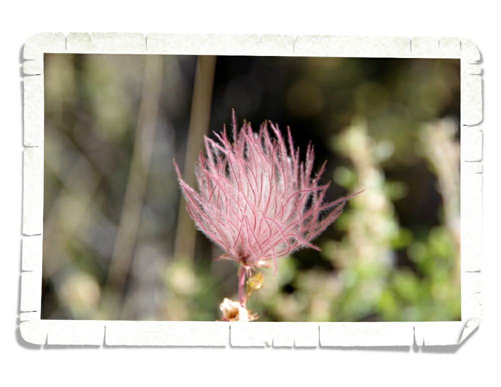
I can’t leave out the pretties. Even in the desert there is color. Spring in the desert is so full of color and life. Not all of it from cacti! This palo verde tree (top picture) is lovely with it’s green bark and yellow blooms!

There was a surprising amount of things to see and do in the Desert Hot Springs area and if we ever go back… it’ll be in the winter. It was just too hot and too windy for us. While we thought what we saw was neat, it was kind of a looong miserable week.

See y’all down the road!

#westernloop2018

Las Cruces

Las Cruces

Hey Guys! We spent a week in Las Cruces.

We had to tandem drive from our overnight stop in Junction, TX. If you know me, you know I’m not a driver…so I was pretty nervous about an entire day (it took us right around seven hours) of driving. It was actually ok until we got to El Paso. El Paso is huge with tons of lanes and tons of cars and I was a nervous wreck driving through it. Luckily, all I had to do was follow Jerl who was driving the RV. Nicholas rode with me and we listened to music the whole time.

After a drive day like that we needed a breather…and a burger. The next day we found our way to Hatch, NM and a place called Sparky’s where we had some of the best (and hottest) green chili cheeseburgers we’ve ever had. But, what do you expect from a town known for its chilies? We got there right before 11am and had to wait in a little line. As we sat there eating, the line kept growing and before we left it was out the door and down the block. It was that good. Aaannddd…when you’re in a town known for it’s green chilies…you have to try a chocolate green chili shake. Right? Alex said it was a good thing all of those green chilies were covered in sugar because they were super spicy!

We stopped by a little curio shop in Hatch to look around. Check out the hand painted pitcher and glasses! It’s a good thing we don’t have room for any big souvenirs…I would have walked away with a set of these. We did pick up some green chili powder. We’ve been adding it to our taco seasoning. It has a great taste!

We celebrated Alex’s 15th birthday with a pie. We now officially have a 17 year old, 15 year old, and a 13 year old… how is that possible? I swear I’m not old enough to have three teenagers!

Quite a bit of our time in Las Cruces was spent doing car work. Jerl ordered and replaced the broken headlight. We also spent a fair amount of time replacing the tow bar. You might remember our old tow bar ended up under our car. It was bent beyond repair. We upgraded and went with the next best model plus we added locking pins anywhere and everywhere someone could tamper with them. We would really like for out toad to stay behind the RV where it’s supposed to be…not racing us down the highway. No more joy riding please!

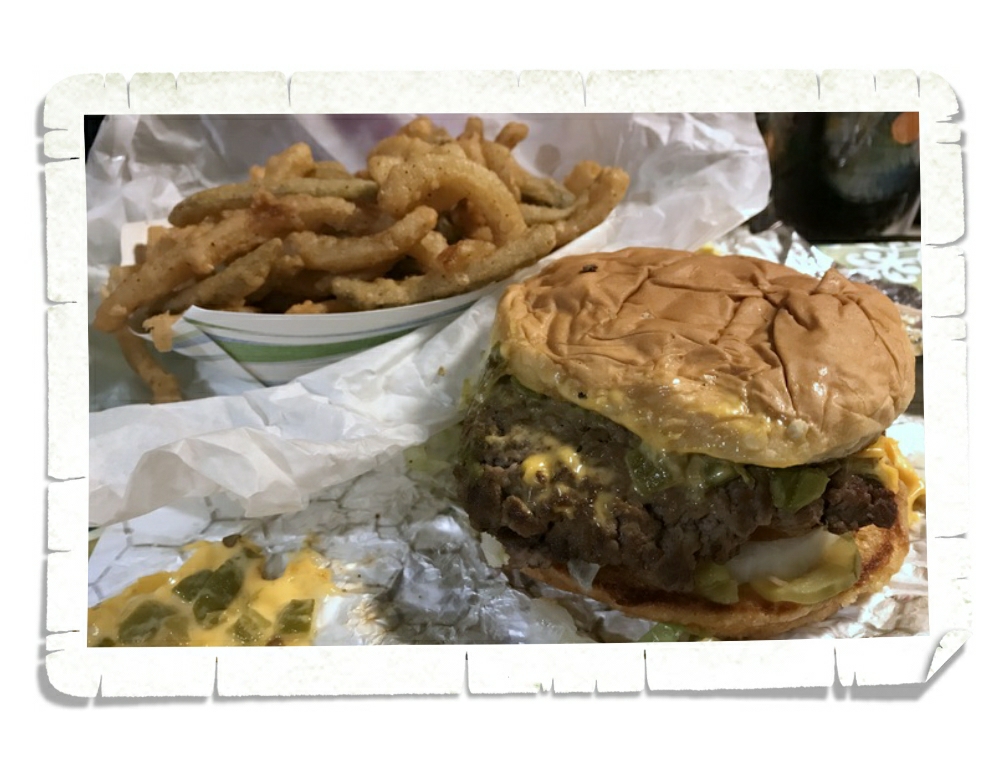
Jerl and I actually had a date night. We don’t have them often, but…we do have three teenagers who are capable of cooking for themselves…so, we out. We ended up at the High Desert Brewing Company and Guys…Oh. My. Goodness….we had the absolute spiciest green chilies EVER!! Wowzers!! Jerl had the green chili burger in the picture above with green chili queso fries. (right picture) I had a green chili quesadilla. We walked out of there with burning bellies! The food was so good, but sooo spicy!! We will totally go back the next time we’re in Las Cruces!! It’s a good thing we didn’t take the boys with us because there’s no way any of them could have handled the amount of spice those green chilies were packing. We did take the boys to a place called Andele’s Dog House for some very tasty and not too spicy food! These are the nachos I got. (left picture) They were really good! I asked for beef expecting to get ground beef…like taco meat…but got steak! The boys like it mainly because you could go get your own chips and salsa at the salsa bar. Kids. Ha!

Right down the road from where we stayed was Old Mesilla which was a stop on the Butterfield Overland Trail. The Butterfield Overland Trail is the predecessor to the Pony Express and ran from St. Louis to San Francisco. We had a good time walking around the little downtown square with all of it’s curio shops.

The Courthouse that Billy The Kid was tried in is now a gift shop. It was kind of fun to stick our heads in and see some of the old architecture.

We drove over the San Agustin Pass. There’s a little pull off at the top where there are some info signs and a pretty darn good view. The San Agustin Pass goes through three mountain ranges…the Organ Mountains, the San Andres Mountains, and the San Agustin Mountains.

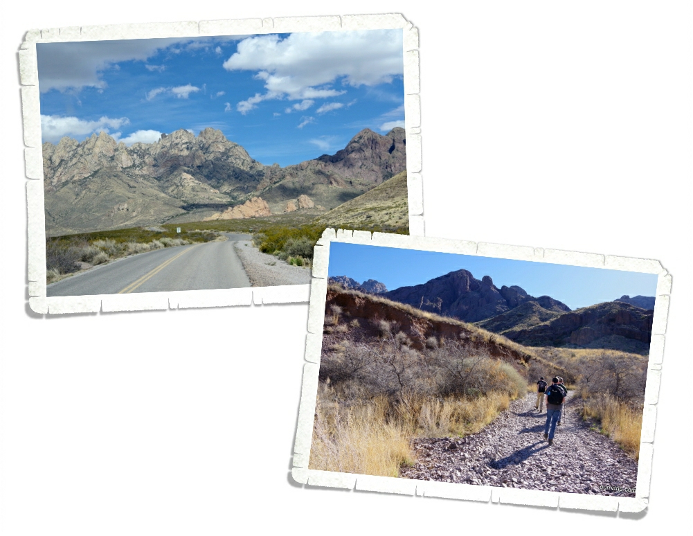
We spent a little time hiking around the Dripping Springs area of the Organ Mountains-Desert Peaks National Monument. Before I tell you about the hike…let me just say that we almost didn’t do this hike. We were talking to one of the volunteers and she told us a couple times about all of the diamondback rattlesnakes down on this one trail that were super aggressive and had actually chased her down the trail. Guys…I do not want to be chased by a snake. Ever. I have a healthy fear of anything that can kill me and venomous snakes are pretty high on that list. I plucked up my courage and was bolstered by the fact that it was a pretty cool morning (and snakes don’t like cool weather) and we went for a hike up to Van Patten’s Mountain Camp. It was a pretty nice hike…it was a constant gradual up so we were breathing a little hard. It warmed us up and gave me a reason to stop every so often to take some pictures. You know, because I need a reason to take pictures. *wink wink*

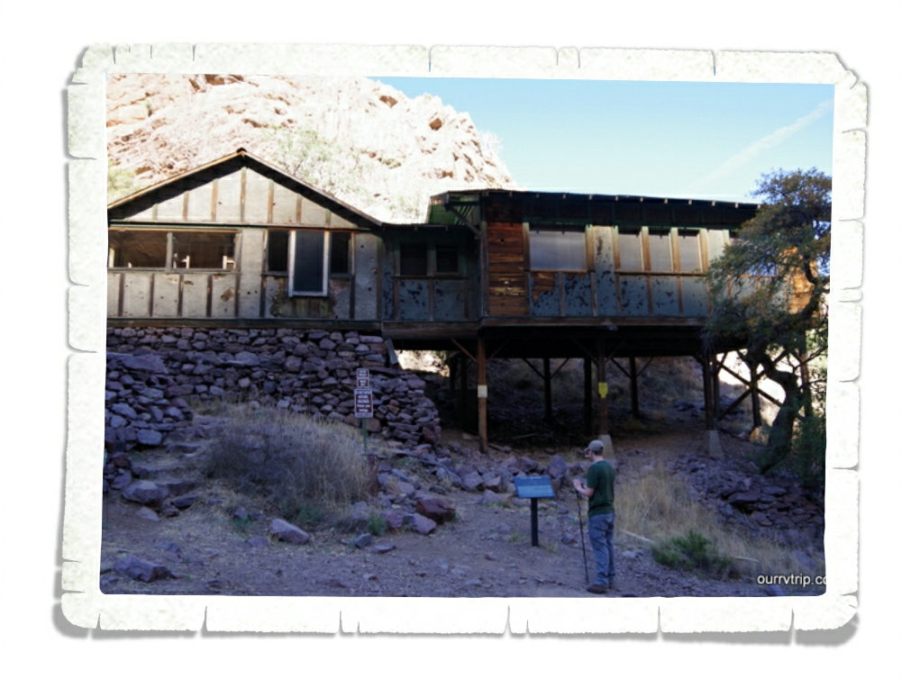
Part way up the hike we found a set of old buildings that had been used as a livery for the Mountain Camp. (right picture) In the late 1800s the guests could ride a stage line from Las Cruces up to the hotel (mountain camp). By the early 1900s guests were showing up in automobiles too. About a quarter of a mile on up the trail we found the remnants of Van Patten’s Mountain Camp. (left picture) Major Eugene Van Patten built the resort hotel in the late 1800s. In 1915 Van Patten had some financial troubles and sold the resort to Dr. Nathan Boyd.

Dr. Boyd turned part of the resort into a tuberculosis sanatorium. Sometime in the 1920s Dr. Boyd sold the resort and sanatorium to a Dr. T.C. Sexton and by the 1940s the resort hotel was in ruins.

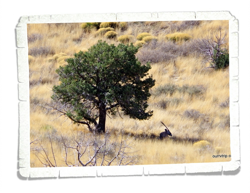
The Organ Mountains-Desert Peaks National Monument is run by the BLM. When a NPS unit isn’t run by the NPS we never know if there will be a Junior Ranger program or not. This one had a small one and even had a little badge that the boys earned. We were also warned about the Oryxx that roam the area. Apparently, they can run fast and they’re pretty muscly. They’re causing havoc with the ecosystem in the park because they don’t have a natural predator in this area. We spotted one resting under a tree. With the magic of a zoom lens we got a good look at it. Those are some serious horns!

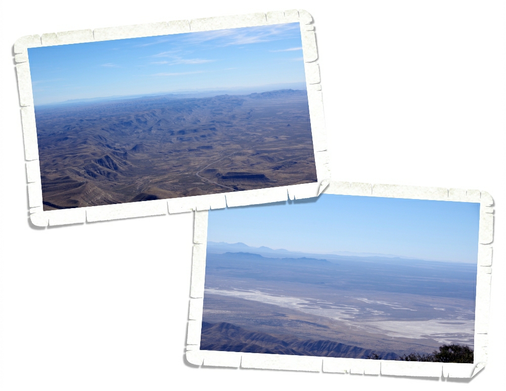
The Dripping Springs area of the Organ Mountains-Desert Peaks NM is about 6000 feet in elevation. We enjoyed some pretty nice views through the whole hike.

There weren’t too many pretties around since it was still technically winter at this point, but these amazing little yellow pretties were in our yard for the week.

It was a stressful and busy week in Las Cruces with all of the car/tow bar work, but we thoroughly enjoyed the area!

See y’all down the road!

#westernloop2018

Phoenix Fiasco

Phoenix Fiasco

Hey Guys! Let’s see…where did I leave you hanging?

Let’s recap just a bit… It was Tuesday and we were in one of our favorite RV parks in the Sedona area soaking up that awesome Sedona vibe, trying to figure out what was wrong with the engine of our home-on-wheels when a dealership in Phoenix called us back. If we got there that day they could get us in. Well, sweet chickens! Let’s get going! We let the office know of our early departure (no refund…we were paid up to Saturday) and we took off trying to get to Phoenix before the RV guy at the dealership left for the day.

We made it to the dealership where the RV guy listened to our engine and proclaimed he didn’t really know what was wrong with it, but that we were going to need a brand new engine. Hmmm…what? Oh, and they couldn’t even start working us in until after the first of the year. And, the RV guy made it seem like our engine was on it’s last leg. This was very new news to us since the other two dealerships we’d had it at couldn’t really find anything wrong and told us it wouldn’t hurt to keep driving.

It was Dec 19th (a Tuesday) in southern Arizona and our reservations at Lost Dutchman State Park didn’t start until that Saturday the 23rd. Well, what the hay-diddly were we going to do? Have y’all ever tried to get last minute reservations in the middle of the winter in southern Arizona? It’s nearly impossible if you’re not 55+ and you have kiddos. We called over to Lost Dutchman SP and miraculously found spots for the rest of the week. Unfortunately, you can’t reserve a spot for the same day…it’s first come…but we were told there were six available spots if we could get there. We didn’t really have a choice…we didn’t feel safe sitting in the dealership parking lot.

We chanced it. Worst case scenario we would have to dry camp for a night in one of our favorite state parks. It took us close to 2 hours to go the 46 miles from the dealership to Lost Dutchman SP.

When we got there the park office was already closed and it was getting dark. Luckily, we’d been there before and we knew our way around. Arizona gave us a pretty spectacular sunset as we were searching for a spot for the night.

We woke up in our favorite spot in Lost Dutchman. It was such a welcome sight! We’d been able to make reservations for the rest of the week until our original reservations would kick in, but we were going to have to move pretty much daily. It was going to be a week of site hopping. But, hey…at least we had a place! It could definitely have been worse. We headed up to the Ranger’s station to try and figure out what we were going to do for the three days that we needed to gap from when our reservations would run out and we could get into the dealership to get the work done. Guys, these Rangers and Volunteers were amazing. They bent over backwards trying to figure something…anything out for us and it worked. They pieced together places so that we would have someplace to stay through the end of the year.

We spent the first week spot hopping. It became a routine to get up and start watching for the people in our new spot to leave so we could move. Most days we were just a few spots over.

Let’s be totally honest here, there are no bad views at Lost Dutchman State Park. I mean, look at that view? How could anyone be in a bad mood with that view out their window? Plus the weather was ah-mazing! It was mid 70s during the day and low 50s at night. I could think of worse places to unexpectedly be stuck.

And…all of the moving made utilizing the dump station easier. The only downside to Lost Dutchman SP is that there aren’t any full hookup sites. But, geez, with those views…who cares.

It was the week before Christmas so we put engine issues on the side burner and started on our Christmas traditions. One of our traditions is to have tamales for our Christmas dinner. Some years it’s a challenge to find tamales, but this year we hit the jackpot! We ended up at a place called Old El Paso Tamales and Guys…they were soooo good!

We were able to sneak in a visit to a National Monument while we were in the Phoenix area. Casa Grande National Monument is preserving what remains of an ancient Hohokam (ho ho KAHM) farming village. Casa Grande (“Great House”) is one of the most prominent examples of the Ancestral People’s society.

In 1932 a steel and concrete canopy was built to protect Casa Grande from the harsh Arizona environment. At one time this Great House was four stories high and sixty feet long. This site is the largest known structure left by the Ancestral People of the Sonoran Desert. The builders of this Great House were very in tune with the sky. The walls face the four cardinal points of the compass and there are holes in the walls that align with the sun/moon at different times of the day/year. It took 3,000 tons of a concrete like mixture of sand, clay, and limestone to complete Casa Grande in 1350. We learned a lot at this National Monument and met another traveling family from Hawaii! Meeting other travel families is always fun!

We made it back to Burger House in Miami, AZ!! We drove 45 mins one way just to eat a Green Mix Burro Enchilada Style. I got one to eat there and one to take home. Yum!! If it’s possible my take home burro was even better!

Meanwhile, Arizona was showing off with all of the gorgeous sunsets.

We made it through our week of musical spots and settled into our original reservation spot. It was really nice to be able to stay put for longer than two days. Between all of the moving around, Christmas prep, and Casa Grande we only made it out to the trails once.

We hiked a portion of the Siphon Draw Trail one afternoon. I really enjoy this trail, but can’t work up the nerve to go all the way to the top of it. We’ve heard it takes about six hours to go all the way to the top and back. Now, y’all know we don’t shy away from a hiking challenge…the Guadalupe Peak and Harding Ice Field hikes are proof of that…but this trail has tons of loose gravel once it reaches a certain point. It’s at this point that I turn around. I stood there…at my turn around point…and watched countless people slip and slide and fall and I totally chickened out. Again. It’s hard enough to hike on loose rock as it is, but I’m carrying my camera in one hand so that only leaves me one hand to balance, catch myself, and climb. I’m looking into a solution to this. I’m determined to reach the top of Siphon Draw one day.

Until then, I’ll just soak up the views and the sun as much as I can! I’m always amazed at how green the Sonoran desert is. One day I’ll make it to the Sonoran desert during the spring so I can see all of the cactus flowers! I’ve heard it’s spectacular!

Let’s talk foodies! We ate at a few new places, the two worth mentioning are both called Taquitos Jalisco. No joke. We were at an office store getting my calendar printed out and asked someone where some good Mexican food could be found. She pointed us to Taquitos Jalisco. Problem was…there were two and we weren’t really sure which one she meant. So, of course, we had to try both! Guys, both places were so good! Very different from one another, but both very good! We will definitely hit both again next time we get back to the area!

Y’all might remember that Jerl had to have eye surgery back in late September 2017. Well, it was time for another post-op eye check and we coordinated with his eye doc (Dr. Benedett) to find someone to do the exam in the Phoenix area. We love Dr. Benedett, by-the-way.  December 28th we headed to Jerl’s check-up and found out that his retina was re-detaching. We didn’t really go into panic mode until the young doctor we were seeing started giving us conflicting information. That worried us. A lot. He couldn’t even tell us if Jerl would be under general anesthesia or local anesthesia during the process.

We spent the afternoon talking about all of our options. There weren’t really that many. I jumped online and tried to find an RV park that we would be able to stay at for 2 months in the Phoenix area and guess what…nadda. As good as the Ranger’s at Lost Dutchman are, there were no available spots. Not even for one night after our reservations ended. For several reasons we decided to chance a 1,425 mile dash back to Missouri on an engine that was acting up and through winter weather to get back to Dr. Benedett. Yup, he’s that good.

In the next post I’ll fill y’all in about our mad dash to Missouri and give you an update on Jerl’s eye and the RV engine.

See y’all down the road!

#grandwesternloop

Sedona Take Two

Sedona Take Two

Hey Guys!! From Santa Fe we headed to the Sedona, AZ area where we were supposed to spend two glorious weeks hiking, hiking, and hiking some more. It didn’t quite work out that way…well, I’ll explain all of that later.

Excuse the poor quality of the top picture. Between the dirty windshield and the sun right in my face…this is as good as I could get from my phone. So! When you go to Sedona from the north you have to make your way down from the Colorado Plateau that northern Arizona sits on. This makes for a hair raising…sometimes white knuckled, puckery trip as you make your way down 18 full miles of lots and lots of down. It’s not a steep grade. I don’t think it ever goes above 7%…it’s just that it’s 18 miles of it and you have to watch out that you don’t burn up your breaks before you get down to the bottom. Fortunately for those whose breaks don’t hold up, the builders of this road put in several runaway truck ramps along with just as many pull-offs so over heated breaks can cool off before continuing on. You have to be smart when driving a big rig down this portion of the highway and if it’s your first time, I would suggest you do it during the daylight hours.

Don’t worry though, we made it to our RV park and into our spot with no troubles! One of our favorite things about our life is all the people we get to meet. We met a couple from Montana (one of our neighbors) who quickly became friends. It’s always fun to meet back up with friends we make in our travels.

We spent most of Sunday going to Jerome. Jerome has some amazing views from it’s perch on the side of Cleopatra Hill where it overlooks the Verde Valley. Originally a copper mining town, Jerome has faced some pretty big disasters and today is said to be very haunted with a local myth about lost gold in the nearby Sycamore Canyon. There are still remnants of Jerome’s colorful past scattered throughout town. Apparently, it was a really rough and dangerous place to live at one time.

We went for the views…and the burgers. The first time we were in the Sedona area we drove up to Jerome in hopes of eating at The Haunted Hamburger, but we couldn’t find a single place to park. Anywhere! So, we turned around and headed on. This time, we got there earlier and found a spot not too far from our destination. To be totally honest, we weren’t overly impressed with the burgers here. They were just kind of ok for us and the prices…we don’t mind paying for a good meal, but if I’m paying $15 for a burger…it had better be one of the best burgers I’ve ever had in my life! The view from our table was awesome though! And…according to their story, the place really is haunted! We didn’t have any paranormal experiences while we were there, but it made for some fun conversation while we waited for our food.

The boys have been talking about Bell Rock since we were there back in 2015. It’s a fun place to do some rock scrambling and see how far up the rock formation you can make it. Personally, I like to go up part way then find a spot to sit and relax and just take in the epic view of all of those red rocks.

One of the reasons we have the tow vehicle we have is so we can venture down roads like the one in the picture above. We really loved the Devil’s Bridge hike the first time we were in the area and decided to tackle it again. The hardest part about this hike (and possibly the best part for Jerl since he gets to do some 4x4ing) is getting to the official trail head. For those that don’t have the right kind of vehicle, there’s a parking lot you can park in that adds about 2 miles to your hike.

The trail isn’t one of those smooth, flat, well maintained trails…it’s very much a wilderness type of trail where you have to watch where you’re walking. There’s quite a bit of up with this trail, but none of it is terribly hard. There are a few places that can be a challenge for people with short legs.

Devil’s Bridge is a great TAB (there and back) trail that ends up being around a mile and a half if you can drive to the official trail head. It’s a popular trail so be prepared to share the trail and take turns at the bridge for pictures.

The only other trail we had time for was the West Fork Oak Creek Trail. This is another TAB trail and runs about 4 miles one way. Oh, and you cross Oak Creek 13 times…one way…so that makes 26 chances to fall into the creek. The boys were thrilled at the prospect of “accidentally” falling in. Ha! At the beginning of the trail you can explore a few old structures left over from days gone by when there was a small log cabin back in the 1860s which later became Mayhew Lodge in the 1920s.

All four of the boys had to smell the ponderosa trees. A ponderosa is a type of pine tree and if you’ve never stopped to smell one…well, you’re definitely missing out. We’ve smelled vanilla, butterscotch, toasted marshmallow…it mainly depends on the age of the tree and the smell can even change a bit with the season. Try it next time you see one!

The morning we hiked the West Fork trail it was a chilly 30° and the creek was mostly frozen over so we had to plan out our creek crossings. The ice made the rocks especially treacherous so we took our time at each crossing.

For the most part, this trail was super easy! The only challenge to this trail were the creek crossings…and I’ll be honest, even those weren’t bad. West Fork Oak Creek Trail ended up being one of our favorite trails in the area. We’ve already talked about going back during warmer weather to hike it again. And if you’re wondering, only a couple of us fell in the creek…a few times…you’re going to have to guess who it was though. I’m not telling.

Let’s talk foodies! We found Hog Wild BBQ during our 2015 trip to the area. Places like this are why it’s so hard to pay the high price for an ok burger. (Top right picture) This was an awesome burger for half the price. Juanita’s Taqueria was a recommendation from someone who worked in the RV park. This place has the best shredded beef tacos we’ve ever had. (bottom left picture) We had plans to eat there again before we left the area, but a monkey wrench was thrown into our plans.

We started having engine troubles when we left Amarillo. We’d had our home-on-wheels to two different Ford dealerships and none of the techs could tell us really what was wrong, only that they weren’t big enough to work on an RV and to check with a different dealership. While we were in Sedona we ended up at a dealership in Cottonwood which led us to contacting a dealership in Phoenix. The dealership in Phoenix told us they were pretty busy and that it would be a week before we could get in…which was cool because we had about a week left in the Sedona area before heading to the Phoenix area for our next stop anyway.

Ready for the monkey wrench? The Phoenix dealership ended up calling us on Tuesday telling us if we could get our RV there that day they could get us in. Now, I should mention here that we’d been hearing horror stories of how long it can take to get stuff done at these dealerships… so we jumped at the chance to get our process going. We left the Sedona area (without a refund for the week we’d already paid for at the RV park) and headed to Phoenix. Guys, when we got there…the techs spent 20 minutes (maybe) guessing and then told us they couldn’t get us in until after the first of the year. That would be two weeks from then. So…we were stuck in southern Arizona during the winter snowbird rush without reservations.

I hate to leave you with a cliffhanger, but you’ll have to wait until the next post to see what happens since we’re into the Phoenix area post now.

I’ll leave you with this video of our Sedona adventures!

See y’all down the road!

#grandwesternloop

The Top Of Texas

The Top Of Texas

Hey Guys!! While we were in the Carlsbad, NM area we spent a couple of days at the Guadalupe Mountains National Park in Texas.

The Guadalupe Mountains sit right on the New Mexico-Texas state line. We were so close, we couldn’t pass up the opportunity to explore another Texas National Park Unit!

Our first day at Guadalupe Mountains NP we did two hikes and the boys completed the Junior Ranger program. We did the Pinery Trail which is a short trail to the ruins of an old stagecoach stop from the 1800s called the Butterfield stagecoach station. This was a super easy almost one mile paved trail.

The second trail we hiked was the Devil’s Hall Trail. This trail started off great with about a mile of constructed trail. We saw some really pretty fall colors on this trail! Just when we thought the Devil’s Hall trail was going to be easy peasy, the constructed trail ended and dumped us out at a wash and the “trail” followed the wash for about a mile or so. This was a difficult trail due to the fact that there wasn’t really a trail. There were several times where you could tell which direction you needed to go, but there wasn’t a definite way to get there. And there were a couple of time when we weren’t really sure if we were going the right way. The wash was littered with big boulders and slippery round rocks. So…the going was slow.

One of the things we learned while doing the Junior Ranger program here is what an Alligator Juniper looks like! The bark looks like gator hide! We had fun pointing out the different trees while we were picking our way down the wash.

At the end of the wash you get to a natural staircase that they call a “hiker’s staircase”. You can see Alex making his way up the staircase in the picture above. It was a little tricky to get up with a camera around my neck. I ended up having to hand the camera up then scale the “staircase” myself.

Once you make it to the natural staircase you’re almost there! I probably took way longer than necessary because I kept stopping to take pictures. Devil’s Hall turned out to be a short narrow canyon. We walked down it and explored the area for a little bit before turning around to traverse the wash again.

We decided to do a hike on Thanksgiving Day. We did the Guadalupe Peak Trail which is a strenuous trail that gains a total of 3,000 feet of elevation.

I try to do my homework when it comes to trails like this. Everything I saw said that if you can make it past the first 1,000 feet or first mile and a half then you won’t have any problem finishing the hike. What they failed to mention is that after that first mile you’ve worked so hard going almost straight up that your legs are shot for the rest of the hike. So, while the rest of the hike isn’t quite as hard…it feels just as hard because your legs are jello! And, I would like to point out…the entire hike is hard. Not just that first mile. Check out the switchbacks we hiked up in the pic above (top picture). Parts of this trail are on exposed cliffs where if you slip…you slide a loooong way down.

Now that I’ve warned you how strenuous and possibly dangerous this hike is…lets enjoy some of the views! Because lets be honest…the views are the whole reason to hike trails like this. This view was about half way up at the end of one of the many switch-backs. I stood there a good few minutes catching my breath and ogling the vista.

I thought this bridge was so neat the way it’s right on the edge of the cliff! Once I got across it and to the other side I got a better look at it and wowzers! It really is right on the edge of a very high cliff!!

Funny story…there was a part right toward the end of this trail where we couldn’t really tell which way we were supposed to go. The couple in front of us each went a different way. I chose to follow the girl and well…we didn’t exactly take the easy way. See those two hikers on top of that rock in the pic above? Yeah, that’s the way we took up to the top. Notice we’re on the trail on the way down. It was much easier! But wait!! I’ve left out the best part!!!

Welcome to the top of Texas, y’all!!

Not a bad place to have a Thanksgiving picnic! We were so hungry from all of our hard work that we promptly sat down on the most comfortable rocks we’d ever found and ate lunch before we actually looked around at the views. You’ve got to have priorities, you know. Food is very important. ;-P

We wolfed down our lunch in record time and then took in the awesome views at the highest peak in Texas! Things sure look different at 8,751 feet up. Oh, I know…there are mountains that would make this one look like a mole hill…but y’all…check out that view! We spent a good half hour or so eating lunch and taking in the views. We wrote our names in the log book and then started the looonng hike down!

It was faster going down than up and we made it back to our car and the most comfortable seats in the world! Some of us (I’m not telling who…it might have been me) started to worry that our legs weren’t going to make it the whole way down.

Do you remember those little pencil trolls that used to be so popular with the wild hair that went all over the place? That’s what this pretty reminds me of. Troll hair.

Well y’all, we made it to the top of Texas and survived the hike! I would say the Guadalupe Peak hike is rated as the second hardest hike we’ve done so far. The Harding Ice Field hike still holds first place.

See y’all down the road!

#grandwesternloop

Carlsbad Caverns National Park

Carlsbad Caverns National Park

Hey Guys! When I was planning the New Mexico/Texas part of our trip back in 2015 (the first time we were in NM) I skipped the Carlsbad area. I kept reading all of these sketchy reviews for the RV parks in and around the Carlsbad area. We were so bummed to pass this area by because we’d heard how amazing the Carlsbad Caverns NP is. But, without a place to park our home-on-wheels…we had to miss it.

This year as I started planning our #grandwesternloop I thought about the Carlsbad area again. There are two National Parks available in the Carlsbad area and we do love our National Park Units! So, I dug into the RV park search again. And again, the park reviews weren’t the best. But I felt a little better about one in Carlsbad so we took a chance and booked a spot for two weeks. We were completely prepared to move on down the road if the park ended up being totally sketchy, but it wasn’t! It was a decent park and we spent two very full weeks exploring as much as we could!

We finally made it to Carlsbad Caverns National Park! We didn’t make it during the bat flight program, but honestly…I’m ok with that. The thought of around 400,000 Brazilian free-tailed bats flying over my head just isn’t really appealing to me. I wonder if they offer ponchos to keep the bat guano off of the people watching? The amphitheater where you can sit and watch the bat flight program is in the top picture above.

Speaking of bat guano…some of the early settlers used to mine the guano to sell as natural fertilizer. I can’t imagine what that would smell like. We were there several weeks after the bats had moved on this year and we could definitely still smell them.

I really wanted to see the natural entrance to the cave so we walked the steep, narrow trail down 750 feet to get into the cave.

I’m not a professional photographer. Far from it. I point and shoot. Seriously. So when I get into a cave with dim light…well, I take several hundred pictures of everything and just hope for the best. Fun fact: the first pictures taken in Carlsbad Cavern were taken way back in 1915 by Ray V. Davis. There are more than 110 caves in Carlsbad Caverns National Park and Carlsbad has one of the deepest and most ornate caves ever found. It’s hard to believe that around 250 million years ago the whole area where Carlsbad Caverns is found was under a shallow tropical sea. Yup, you read that right…a tropical sea! It was this start along with some twists and turns from Mother Nature that made all of the rock formations you’ll find in Carlsbad Caverns possible.

It’s amazing all of this was created one drop of water at a time over thousands and thousands of years.

There are several Ranger led tours you can take plus a self-guided tour. We opted for the self-guided tour. When it was all said and done, we walked about 3 miles. The thought of having to walk nearly 800 feet back up to the surface was a little daunting. Y’all, I was sooo glad to see an elevator! It only took a couple of minutes to get back to the surface and the visitor center! Sweet! You can also go into the cave by way of the elevator, but I really wanted to see the natural entrance. And…going down steep inclines is usually easier than huffing your way back up. Usually.

The CCC built all of the buildings in the picture above. They’re still being used today. If you don’t know what the CCC is…go look it up. It was a vital program and should definitely still be in place today. We’re fans.

You might think the only thing to do at Carlsbad Caverns National Park is to explore the cave, but you’d be wrong. There are several hiking trails and even a 9 mile scenic drive! It’s a one way loop that isn’t as bad as it looks. We were told it’s better to have a high-clearance 4×4 vehicle, but we didn’t see anything bad. I wouldn’t recommend trying a trailer or RV on this road, but a car would work alright (in my unprofessional opinion).

We found this magnificent view on the scenic drive. I think…don’t quote me on this…that this was the Rattlesnake Canyon Overlook. There was a little pull off so we all got out of the car and walked down a small trail to stand there with our mouths hanging open just gawking at the view before us. Luckily, I remembered to take a few pictures.

I did find one pretty! I love that light lavender color!

The day we went to explore Carlsbad Caverns NP it was bitterly cold and extremely windy. We did one small hiking trail up top, but that’s all we could stand. It was too cold for us and the wind was absolutely insane. We thoroughly enjoyed trekking through the cave and the scenic drive! We ended up spending almost the entire day here and we really could have spent more time if it hadn’t been so windy and cold.

See y’all down the road!

#grandwesternloop

Back In New Mexico!

Back In New Mexico!

We’re back in New Mexico!! We’ve been missing that New Mexico vibe ever since we found it back in 2015 during our first visit to the “Land of Enchantment”.

We spent two very very full weeks in the Carlsbad, NM area and Guys…we didn’t even come close to seeing it all! I can’t cover everything we did so I’m going to stick with our three favorite adventures in this area. Nicholas will cover a different one for y’all in a different post! The RV park we stayed at had this cool mural on the side of one of it’s buildings.

By chance, I found out about a very cool place in Lincoln National Forest. I’m hesitant to even tell y’all the name because it would be a shame for it to be overrun with people and ruined.  But, because I love y’all so much…I’m going to spill it. Just for you. Sitting Bull Falls!

The CCC was assigned to work at the Sitting Bull Falls Recreation Area in 1940. Most of the structures there today were built by them and they’re still standing strong.

A long long time ago a big portion of the United States was under a Permian Sea. The mountains we know as the Guadalupe Mountain Range is, in fact, an ancient barrier reef very much like the Great Barrier Reef off the coast of Australia today. There are places where the ancient reef is exposed and you can see it. Sitting Bull Falls is one of those places!

On our hike to the top of the falls we kept marveling at all of the fossil bed we could see. If you look closely you can actually see some of the ancient reef fossils! How cool is that? And how nerdy does it make us that we spent quite a lot of time looking at the ancient fossil beds? Don’t answer that…I don’t really want to know. We’re nerds and proud of it! Ha!

When we got to Sitting Bull Falls there were two other families there. One family was leaving, but the other family looked like they were…well, just getting started on a selfie session. They were selfie-ing fast and furious. So…we hiked to the top of the falls to kill some time and see what we could find. We found some really pretty fall colors! We walked the path beside the stream that made the falls for a while before heading back to the falls. When we got back that same family was still taking selfies. Seriously…how many selfies does a person need of the exact same spot?

Speaking of the falls… There are actually three falls. You can explore all of the nooks and crannies at the base of the falls. The boys had the best time here! We found this little pool of green algae that was flowing with the water. It would move and sway with the current. I took a video of it…hopefully the movement shows up in it. I’ll add it to the video that I’ll add to the last post for the Carlsbad area so watch for it there.

Because the falls are so gorgeous…here’s one more shot of them.

Just in case y’all didn’t know…New Mexico is Cougar Country. And…as if that isn’t frightening enough…there’s all kinds of different types of rattlesnakes. I’m kind of glad I didn’t see these signs before we went on our little hike to the top of the falls.

Let’s see…oh yeah, foodies! Carlsbad was a total surprise to us! In a completely good way! I was expecting more of a wider spot in the road with some touristy shops type of area, but it’s not that at all! We found a great little Mexican place called El Jimador, another spot called Danny’s Place that not only had some great smoked meat but, a pretty darn good smothered burrito!

And then there’s Church Street Grill with their Green Chili Burgers and their Texas Toothpicks (onion straws and strips of jalapenos). Guys…this place was soooo good! Too good! Like, I-need-bigger-pants-now good!

They’re not your typical pretties, but you have to admit…they are pretty.

Well, I think I’m going to have to break the Carlsbad area into a few different posts. So stay tuned for the two National Parks we explored along with Nicholas’ post on a zoo we visited!!

See y’all down the road!!

#grandwesternloop

The Grand Canyon Of Texas

The Grand Canyon Of Texas

Hey Guys! The whole reason we stopped in the Amarillo area was to explore the Palo Duro Canyon State Park! We spent as much time there as we could in the two weeks we had in the Amarillo area.

Palo Duro Canyon is known as the Grand Canyon of Texas and is the second largest canyon in North America. Palo Duro Canyon State Park measures in at 27,173 acres…so, there’s plenty of space to explore and some pretty epic vistas!

The CCC sent seven companies of young men and military veterans to work on developing roads, a visitor center, trails, bridges and a way to get down to the canyon floor. You can see what’s left of their camp in the pic above. The CCC worked here from 1933 to 1937 and the park officially opened in 1934.

I think the structure in the pic above is called Cathedral Rock. That’s what another hiker told us. And…it does seem to fit that name. If you look closely you can see the boys standing in the mouth of the cave.

We only did a few hikes in Palo Duro State Park due to time. My favorite hike was the Lighthouse Rock hike. We started out as soon as the park opened at 8am and had the parking area and trail pretty much to ourselves. We’d driven by the trail head parking area the day before and it was packed. The Lighthouse Rock trail is right around 6 miles round trip and takes you by some fantastic rock structures!

This was our first glimpse at Lighthouse Rock. You can just barely make it out on the right side of the pic above about mid way up. Nicholas was waiting for me to take the picture…he didn’t know he was going to be in the picture. He’s always my hiking buddy…we both have short legs.

The trail officially ends and there’s no view of the famous rock you’ve hiked all that way to see. No view. At all. But, you can scramble up about a quarter mile of this (bottom right picture) to get to the real view. The scrambling was difficult in a few places (especially with a camera around my neck). We scrambled and slipped and slid our way that last quarter mile, but we made it!!

For those who are adventurous enough, you can scramble up onto Lighthouse Rock! It was sooo incredibly windy!!! So windy! But, Guys…check out that view! So worth all of the scrambling and slipping.

It’s always hard to get a good perspective on how big things are in photos. Here’s a pic of Alex standing near Lighthouse Rock. We had the place pretty much to ourselves. There were maybe three other people there and none of them stuck around long.

It wasn’t until we were on our way off of Lighthouse Rock that other hikers started to show up. We didn’t see too many other hikers until we were almost back to our car. The empty parking area had filled up and people were waiting for places to park. We were home by lunch and ready to head off on another adventure!

We did find a couple of pretties! I love the vivid purples and I’m always a sucker for the wispy wild-hair pretties!

Here’s a little video of all of our Amarillo area explorations!

See y’all down the road!

#grandwesternloop

Atlanta, GA

Atlanta, GA

We spent a week just south of Atlanta, GA.

imgp8091

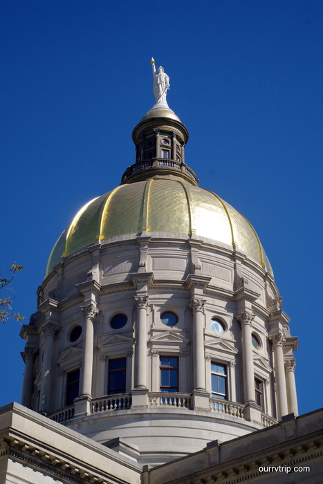
We made it to the State Capitol Building. It was impressive!

imgp8095

Check out that golden dome with the Miss Freedom standing so proudly on top!

imgp8107

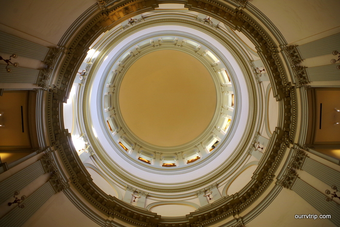
And since we’re talking about the dome…I’ll go ahead and show you the inside of it. Now, my favorite domes have stained glass or a mural on it, but this one with the windows all around it was very nice.

imgp8108

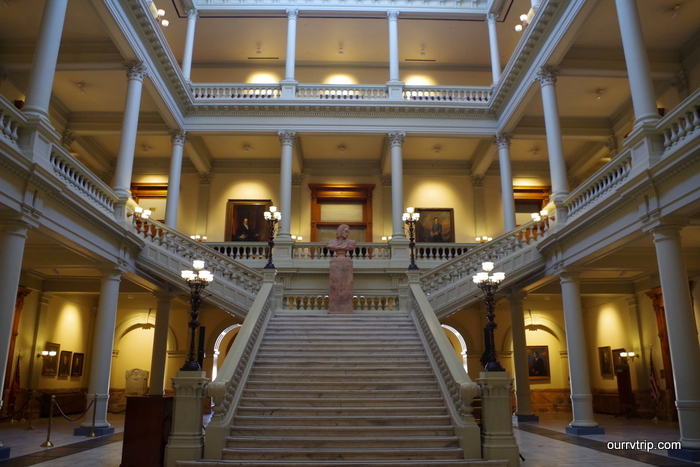
Georgia makes State Capitol Building number 31 for us. That’s a lot of SBCs! Some of my favorite things about SBCs (besides the dome) are the staircases. I’m not an architect. I don’t know anything about what style this is…I just know it’s pleasing to the eye. It’s nice and orderly. Oh! Check out the statue made of pink marble! This SBC had tons of pink marble that had been mined from Georgia. On the fourth floor there was a nice, small museum. We enjoyed this SCB.

imgp8102

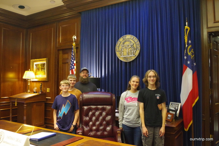
Out of thirty one SBCs this was a first for us. We got to go into the Governor’s Office! One of the secretaries offered to take a photo of us behind the desk. She took three…this one was the best. It’s a little blurry, but that’s ok…we appreciated the offer!

imgp8104

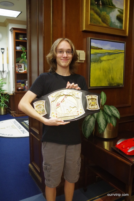
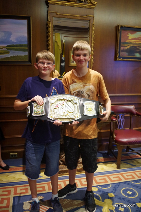
The boys even got to hold this WWE belt. It was heavier than we thought it would be!

imgp8105

I have to mention how nice everyone that we came into contact with at the Georgia State Capitol Building was!

img_7400

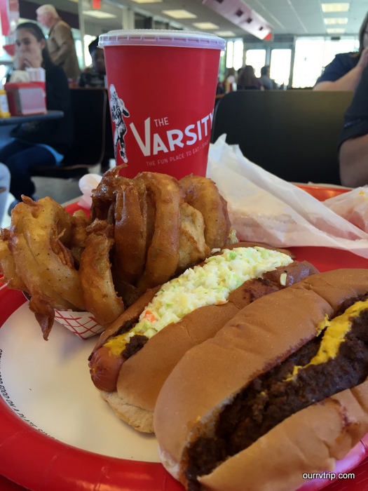
While we were in Atlanta, we stopped by The Varsity to grab lunch. The Varsity is the world’s largest drive-in. When we were there it was packed! The menu isn’t that big. They’ve got burgers, hotdogs, fries, and onion rings. Oh… and fried pies. Between the five of us we tried it all. The food was what you would expect. I enjoyed my chili dog with coleslaw on top of it and I really loved the onion rings! Now, would I go back? Um, probably not. lol! Once was kind of enough. Not because the food was super bad…it just wasn’t the best.

img_7364

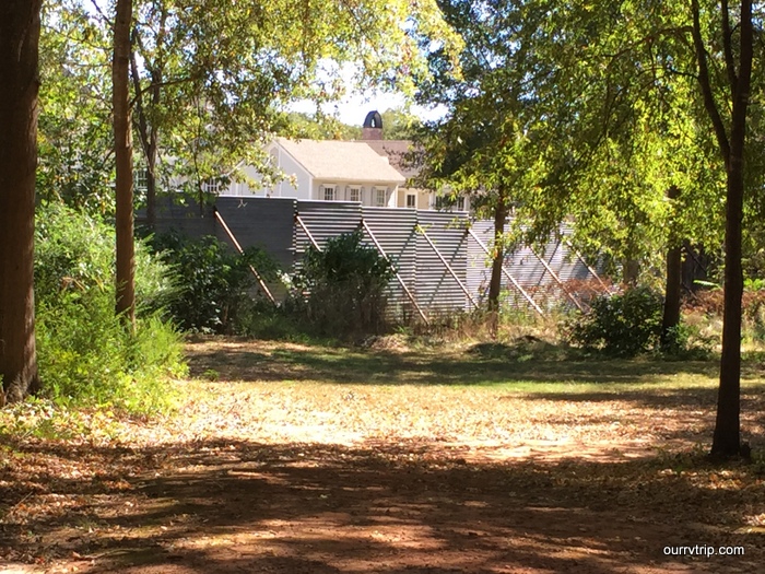
I know…it’s a metal fence. But, guys…it’s The Walking Dead metal fence! You’re looking at Alexandria…well, it’s actually in a town called Senoia…but still!! We couldn’t get any closer because all the roads were blocked and guarded because they were filming. Which kind of made it cooler for me. To know they were just…right…there…….filming!!! Sorry. Fan girl moment. I’m ok now.

imgp8068

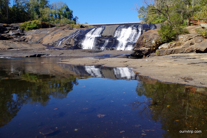
We did actually get some hiking in this time! We love hiking and there hasn’t been as many opportunities to get some miles in during this year’s loop. We stopped by the High Falls State Park for a quick mile or so to see the falls.

imgp8043

Georgia has been in a pretty bad drought since June, so the falls weren’t full and rushing, but they were still enjoyable.

imgp8085

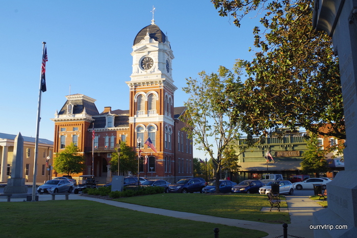
We found Covington, GA…you might recognize it as Mystic Falls from the show The Vampire Diaries. I didn’t realize how many shows/films are filmed in the Atlanta area. We didn’t bump into any of the stars, but it was neat to walk around a town I’d seen on a television show.

imgp8072

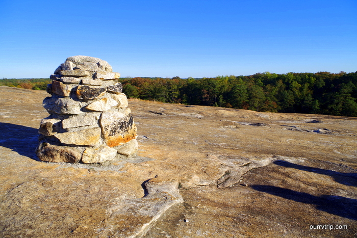
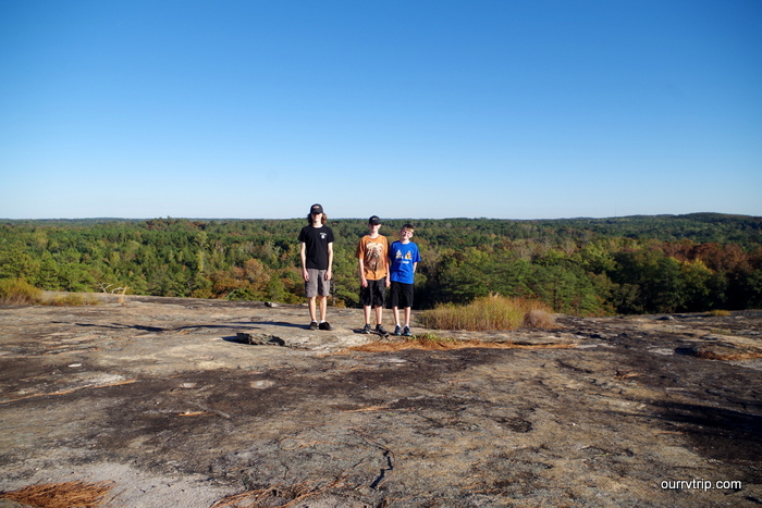
We even made it to another hike! This one was at the Arabia Mountain A.W.A.R.E. area.

imgp8077

We were rewarded with an awesome view! The weather was perfect for hiking while we were in the Atlanta area.

img_7371

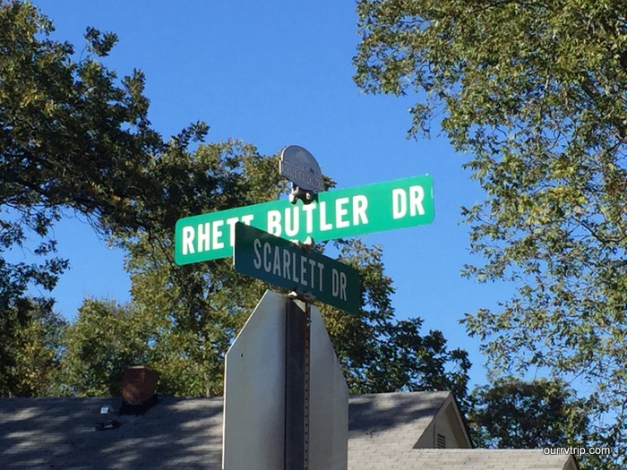
We found this street sign and I had to snap a pic. There’s a big Gone With The Wind theme in the area.

imgp8126

We went to the B.A.P.S. Shri Swaminarayan Mandir while we were in the Houston area and we’d learned that there are actually a few of them in the US. We made it to the one in Atlanta. It’s just as gorgeous! And just like the one in Houston, photography isn’t permitted inside or even close to the inside. If you ever find yourself near one of these go in. It’s truly breath taking. The amount of detail on all of the hand carved marble is astounding.

That’s it for the Atlanta area! We didn’t even begin to scratch the surface of what there is to do here so I imagine we will have to visit again.

See y’all down the road!

#easternloop2016

Acadia National Park

Acadia National Park

Acadia National Park is one of the country’s smallest National Parks, but it’s also one of the most visited National Parks. More than 2 million people explore Acadia each year and I think they were all there with us. While we loved the park, we didn’t love the crowds. We spent two weeks in Acadia trying to find our own little piece of Down East.

IMGP5074

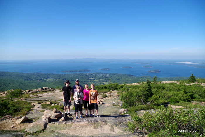
 The first thing we did was drive up Cadillac Mountain to take in the views. It was breath taking!

IMGP5139

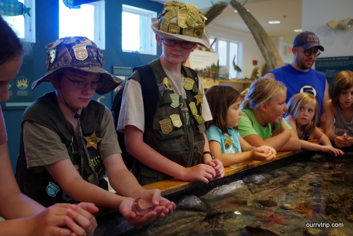
The boys got to take their time with the Junior Ranger books since we were there for two weeks. We went to a Ranger Talk where the boys were introduced to the different sea creatures they could find in the area tide pools. In the photo above, The Dude is holding a sea star.

IMGP5161

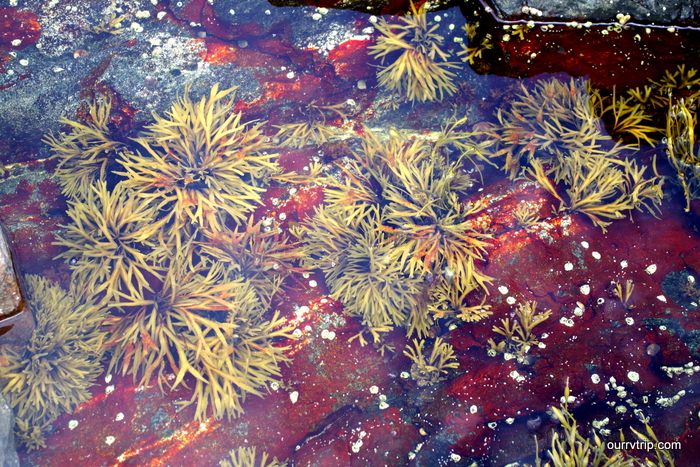
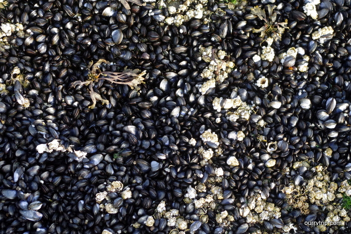
Speaking of tidal pools…we found tons of them…but no sea stars anywhere! Bummer!! All of the pools we found had plenty of muscles and periwinkles along with seaweed and sometimes…a few crabs.

IMGP5166

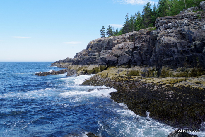
I love Maine’s rugged coast line.

IMGP5192

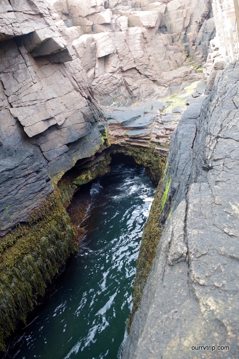
We made it to Thunder Hole…I think we must have been there at the wrong time though, because it wasn’t very active. The tide was coming in and it was making a little of the thunder noise. Oh well, something to try and catch next time!

IMGP5215

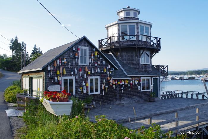
The majority of Acadia National Park is on Mount Desert Island. We drove around looking at all of the harbors. I love the bobbers on the buildings.

IMGP5227

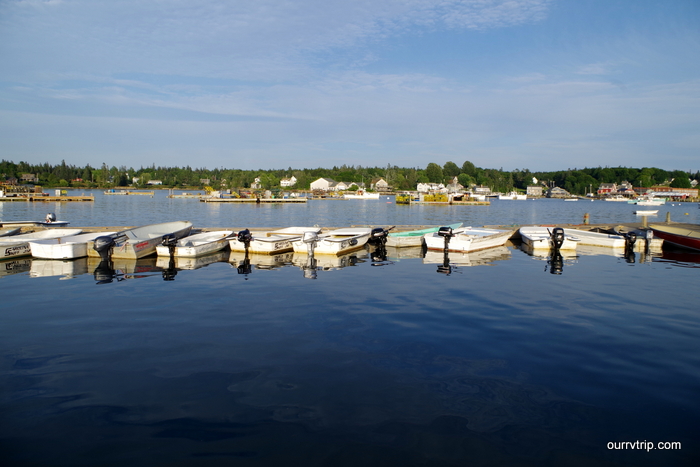
The tides play a huge role in the daily lives of the Mount Desert Island inhabitants. Most of them have a boat. One of the thing we noticed is that because the tides are so big, they have to anchor their boats pretty far out from the coast. So, they all have these smaller boats to get out to their bigger boat.

IMGP5233

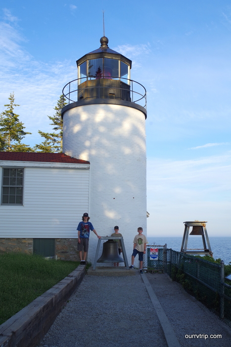
We went to see the Bass Harbor Lighthouse. You can’t get a place where you can get a decent shot of it from the coast line. The lighthouse was built in 1858 and is still fully functional. Right now someone lives in it, but allows people to come take pictures with it.

IMGP5264

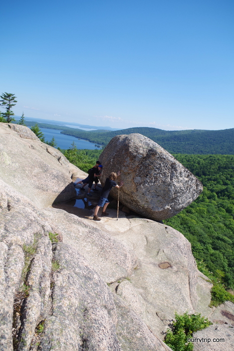
My favorite hike in Acadia is the Bubble Rock hike. It was short, but strenuous up to the summit of Bubble Rock where you get to see a huge boulder left over from when the glaciers moved through the area. The boys tried their hardest to push it off. It didn’t budge.

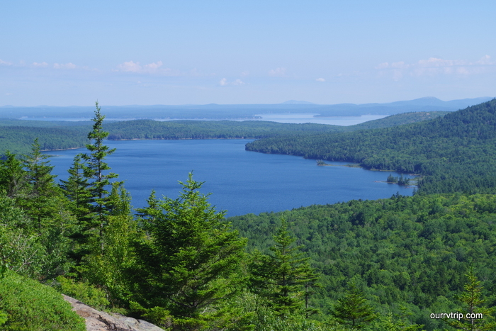
IMGP5275

But, look at the view! We actually managed to get this spot to ourselves for a good twenty minutes! It was amazing!!

IMGP5281

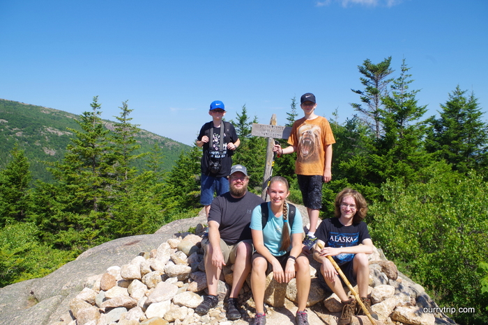
When we were leaving about ten or so people were meandering their way up. One of them was nice enough to snap a picture of the five of us at the summit sign.

IMGP5285

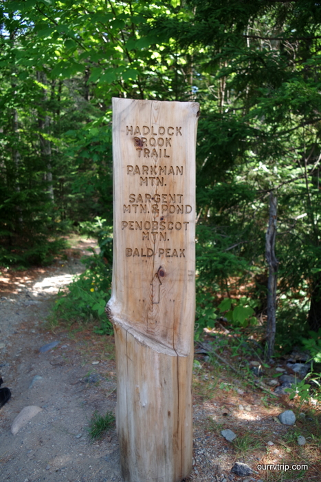
One of the cool things…and something we hadn’t seen before…is the way Acadia does their trail signs re-purposing fallen trees.

IMGP5312

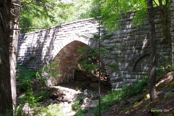
The Acadia Bridges. There are 16 or 17 of them. I guess a lot of people will spend years getting pictures of all of them. We hiked to three…I was over it after the first one. If I’m going to hike, I need the payoff. An old bridge in the middle of a forest just doesn’t do it for me.

IMGP5323

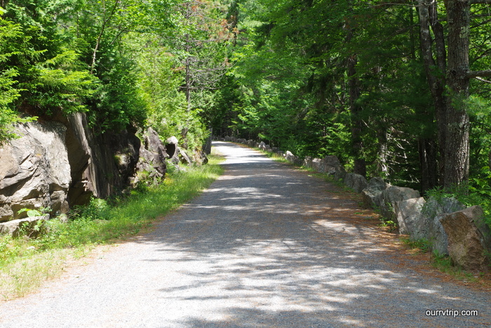
The Carriage Roads…sigh. Again, if I’m going to hike…I need something to look at besides a road and trees. There are close to 60 miles worth of Carriage Roads to walk on. You can’t drive on them, but you can walk, bike, or ride in a carriage. I think I was expecting more. Everyone I spoke to…all of the books I read…they all made such a big to do about the Carriage Roads. But, guys…they’re just nicely graveled paths. I dunno. To each his own.

IMG_4903

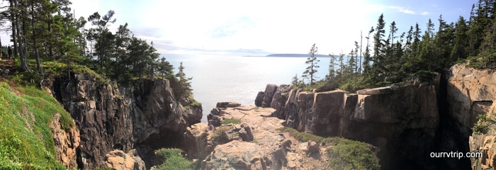
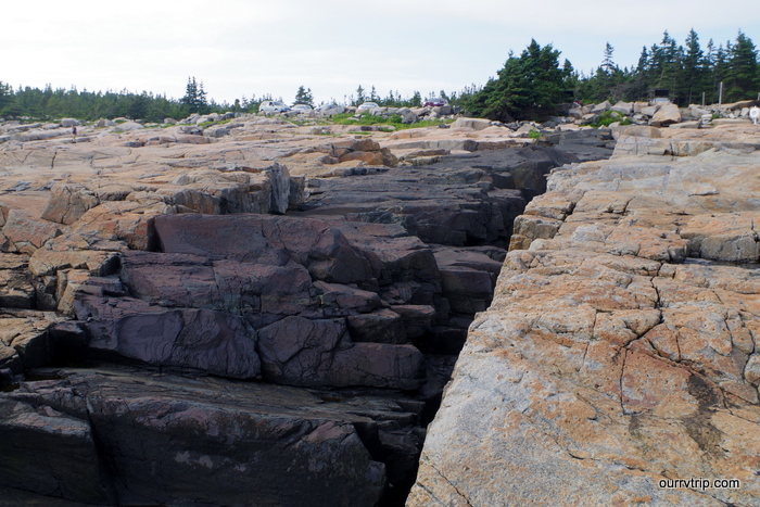
We drove an hour to go visit the Schoodic Peninsula area of Acadia NP and boy howdy, it was totally worth it! We found the top-secret location of the Raven’s Nest. Don’t ask the Rangers, they won’t tell you. I guess it’s deemed too dangerous. We went on a Sunday afternoon and had the place to ourselves. We took our time here and really soaked up the views.

IMG_4905

More views from the Raven’s Nest area. I bet you’re wanting to know where this magical place is. We might…just maybe…have the GPS coordinates for it. I don’t know if we should give them to y’all. I mean, what if we give them to you and y’all go and fall off the cliff? I would feel terrible! But, if you promise not to go and be boneheads and fall of the cliff, I’ll give you the coordinates. Promise? Ok, good. Here are the coordinates 44.352005, -68.074934. Now go forth and enjoy the splendor that is known as the Raven’s Nest! lol! Just please be careful and if you have little kids hold their hands.

IMGP5434

We made it all the way out to the peninsula and played around on the rocks by the shore.

IMGP5462

We found tons of muscles and more periwinkles…but no sea stars.

IMGP5474

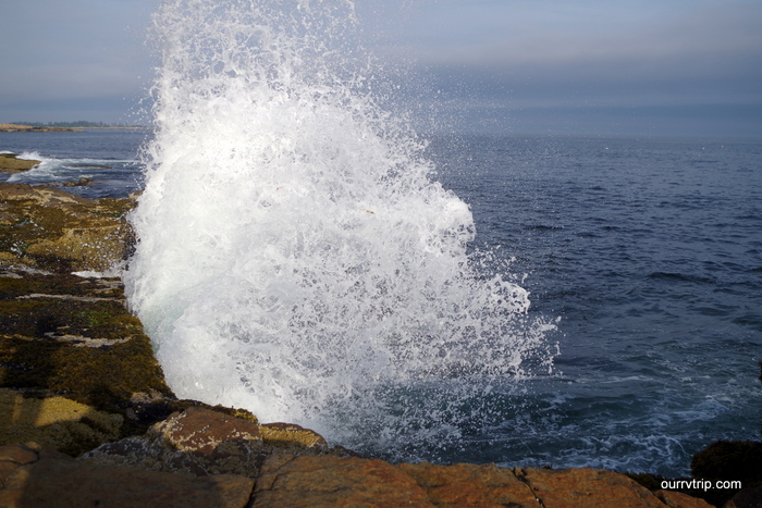
Littlest and I had fun trying to get pictures of the waves splashing up on the rocks.

IMGP5515

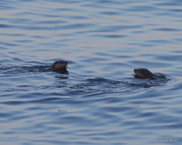
As we were leaving the Schoodic Peninsula we spotted some sea otters playing! We sat in our car by the road watching them for a few minutes.

IMGP5517

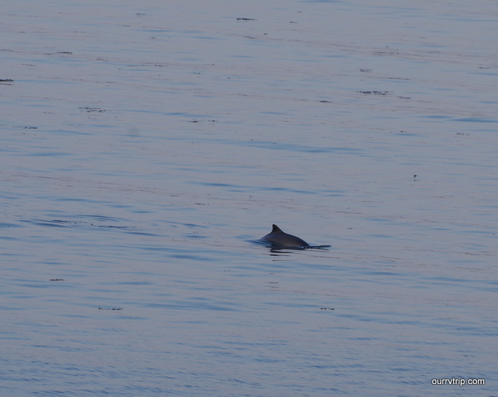
We were losing the light and the otters were moving on when we spotted a porpoise!

IMG_5038

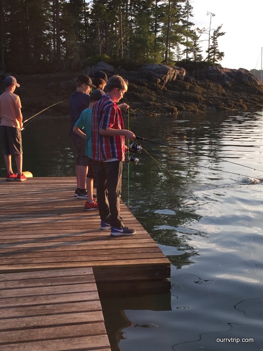
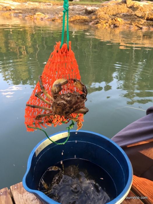
On our last night in the area we met up with another full-time RV family. They showed the boys how to go crabbing.

IMG_5042

The boys loved crabbing! They had such a great time.

IMG_5045

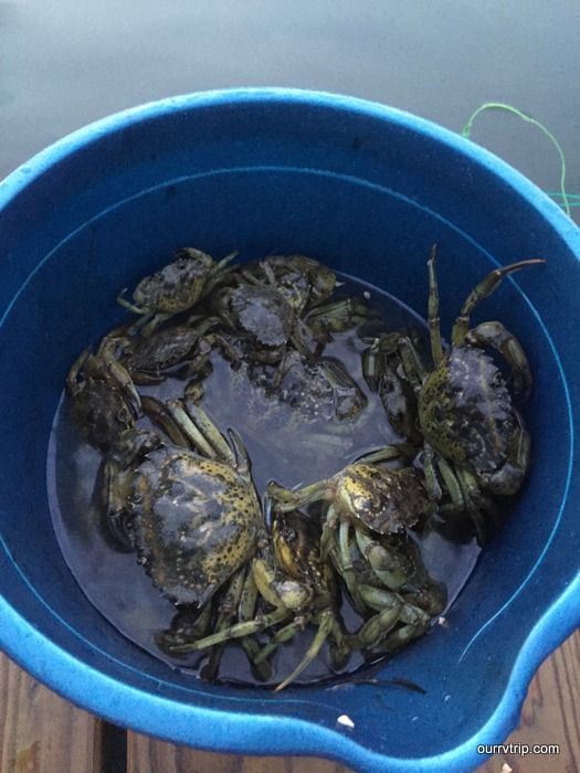
They would catch a bucket full and then take them back to the beach to have crab races with them.

IMG_5043

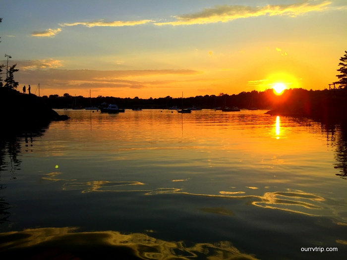
This was our last sunset in Acadia. Not a bad way to end our time there. We shared a campfire with some new friends and got to swap stories about living full-time in an RV with kids.

IMG_4893

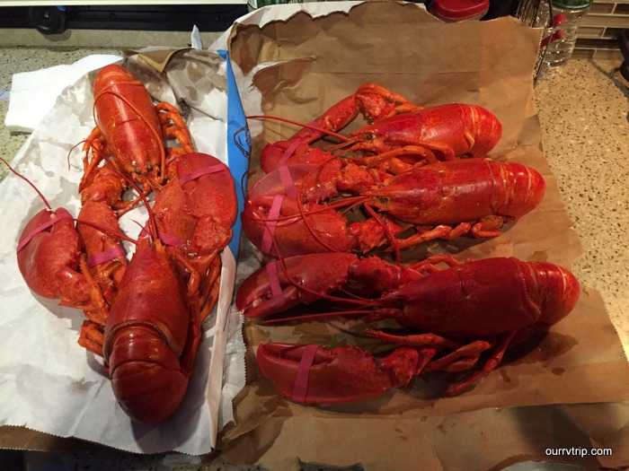
I know y’all are wondering…yup, we had lobstah!!!

IMG_4895

And we had to have a piece of blueberry pie. I mean, we were in Maine, y’all. It would’ve been a crime against nature to not have some blueberry pie.

IMG_5047

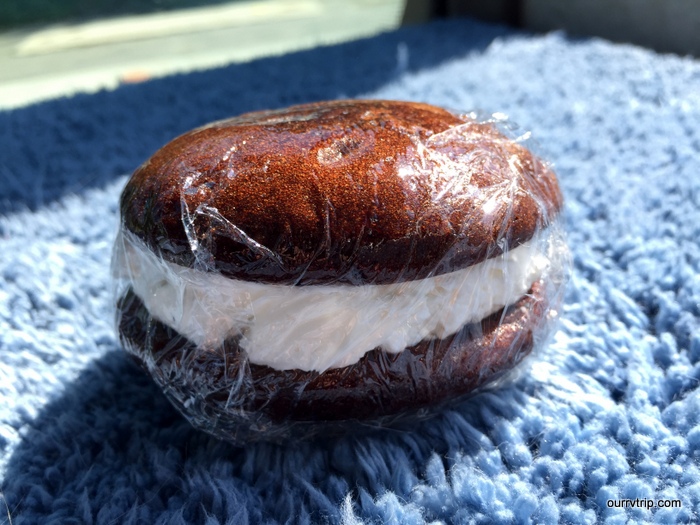
We also had to have a whoopie pie. When in Maine, right?!

IMGP5210

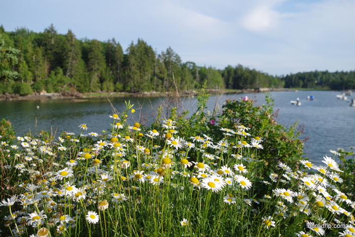
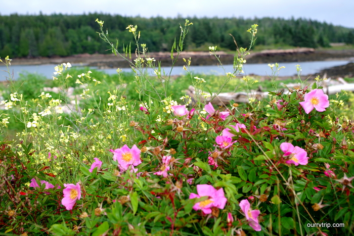
Wild flowers! Everywhere! I was in flower heaven!

IMGP5352

So. Stinkin’. Pretty!

Alright! That’s our time in the Acadia area! We already want to go back, but we want to go back when there aren’t 2 million other people getting in the way.

See y’all down the road!

#easternloop2016