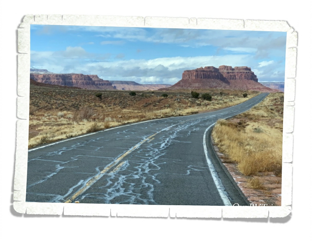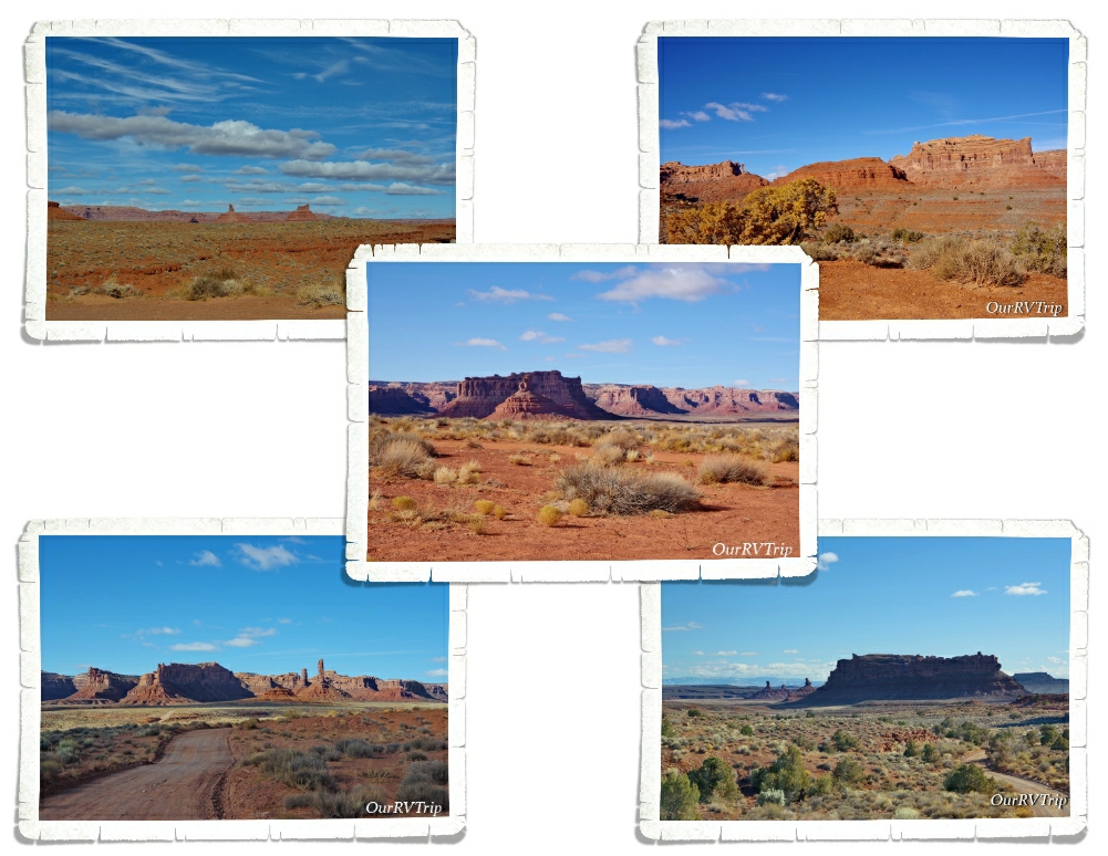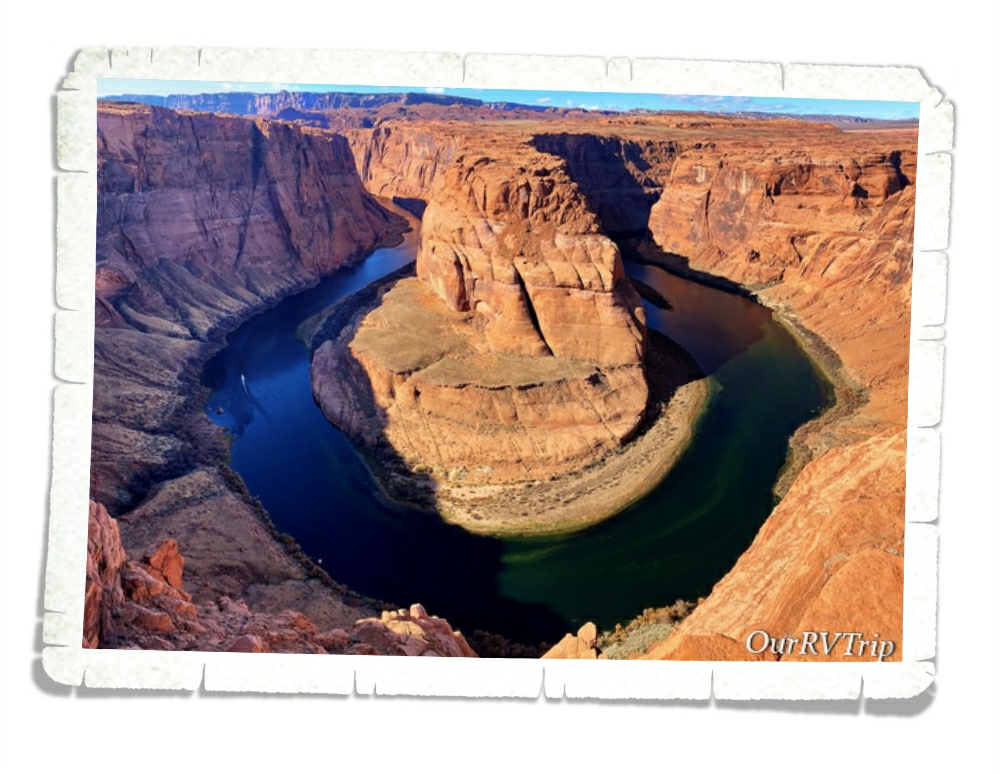
Killing Time In Utah
Hey Guys!! Well, the whole Rona thing totally threw a monkey wrench in our grand plans for this summer. Pretty much everything closed down…toilet paper became a hot commodity (go figure)…and it was a struggle to find an RV park that was not only open but also accepting new arrivals.
We threw out all of our previously made plans (the ones that took me months to nail down and reserve) and had to come up with a brand new plan and then hope that things started opening up. For someone who’s an OCD planner…this was a super stressful time.
Disclaimer: I realize that pretty much everyone in the world was going though stressful times at that point…and we’re so grateful that we really weren’t affected other than having to rearrange our plans and struggling to find supplies…but, since this blog is basically my journal…I’m going to focus on our experience. I can’t comment on what other people’s thoughts and feelings were as they were navigating “the new normal”. I can only tell you what our thoughts, feelings, and experience were. I am in no way trying to take away from other people’s hardships.
Now that I have the disclaimer out of the way…let’s move on.
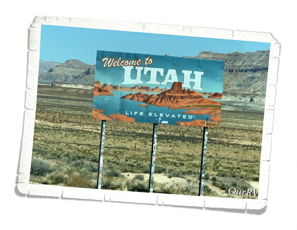
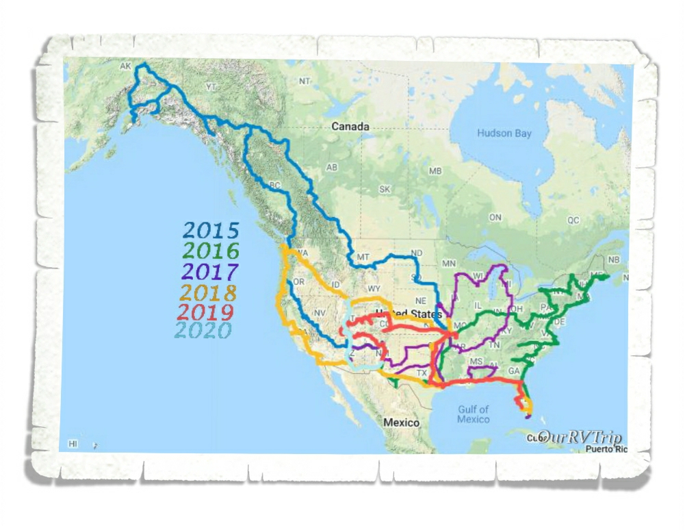
We ended up spending a total of two months hanging out in Utah…killing time…watching the world struggle with the Corona Virus. We didn’t really do much during those two months so I’m going to cover our entire Utah visit in this one post. It won’t be super long…promise.
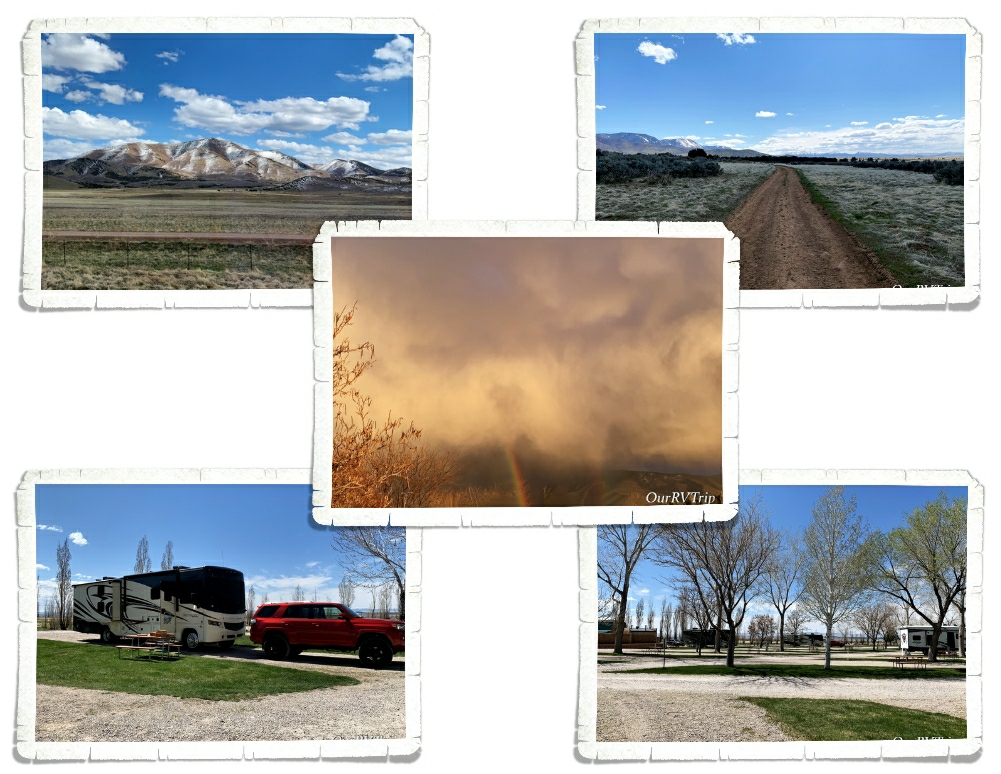
Our first stop was Fillmore, UT. Originally, we’d planned on visiting Great Basin NP from this stop. That didn’t happen. What did happen was the plumbing in our middle bathroom sink breaking on the way to the RV park and leaking all over the place. Sigh. We were able to find a hardware store that was actually open and had the right parts so Jerl could fix the plumbing. It’s always something, right? We also were able to visit with my (Jennie’s) aunt and uncle while we were there! We hadn’t seen them for a long time so we really loved being able to spend some time with them. **waves at aunt and uncle**
The RV park we stayed at was pretty with nicely manicured grassy areas, a pool and some walking trails close by. We were surprised that it filled in for the weekend since we were right in the middle of everything being shut down. I guess everyone was looking for a reason to get out of the house for a weekend.
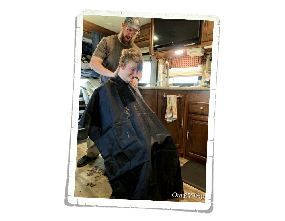
We put off getting haircuts the entire two months we were in Arizona. The plan was to get fresh cuts right before we started our jaunt north. I don’t know if you know this…but, it’s hard to get a haircut when all of the salons are closed. Ha! We ended up doing some home haircuts. Well, three of us did. Two of us opted to wait until the professionals were back to work.
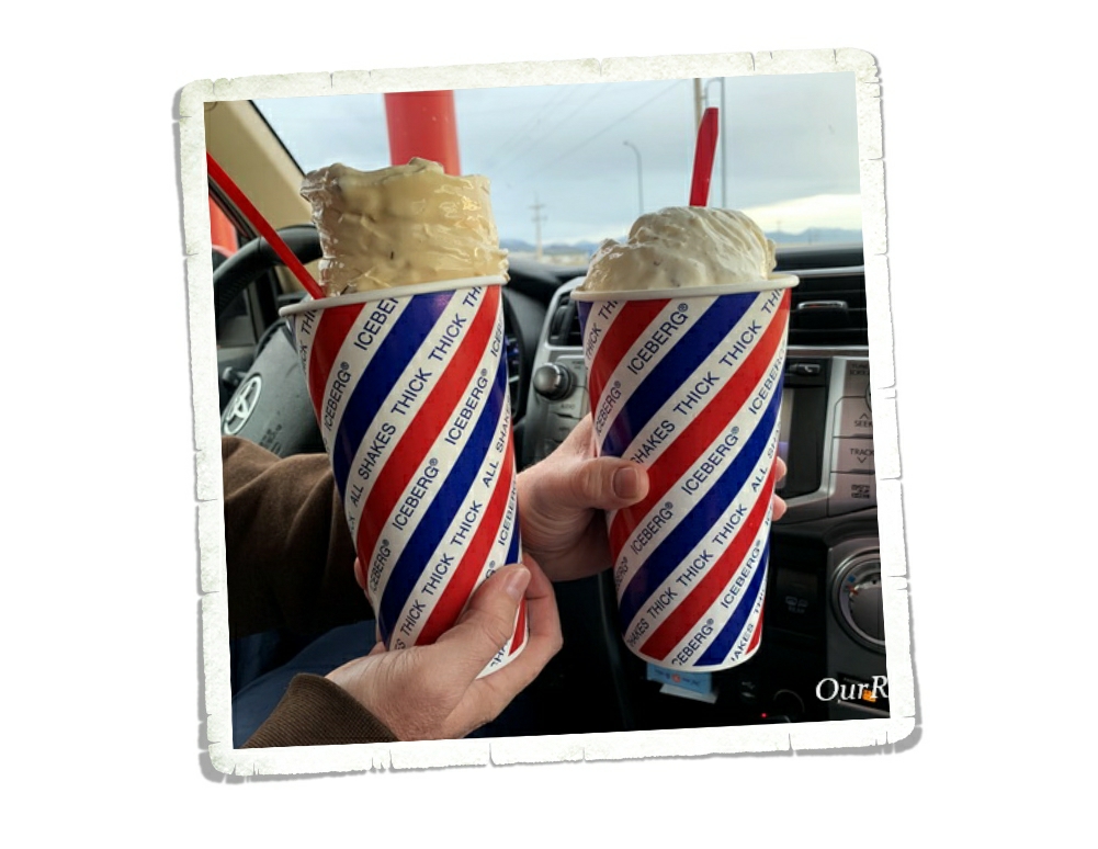
The RV park we stayed in was right across the road from this place called Iceberg.
Right. Across. The road.
We were only there for a week…any guess how many times we went to Icebergs? I’m not going to tell you the exact number of times we were at Icebergs, but it was way more than we needed to be. Stress eating at its finest. The struggle is real.
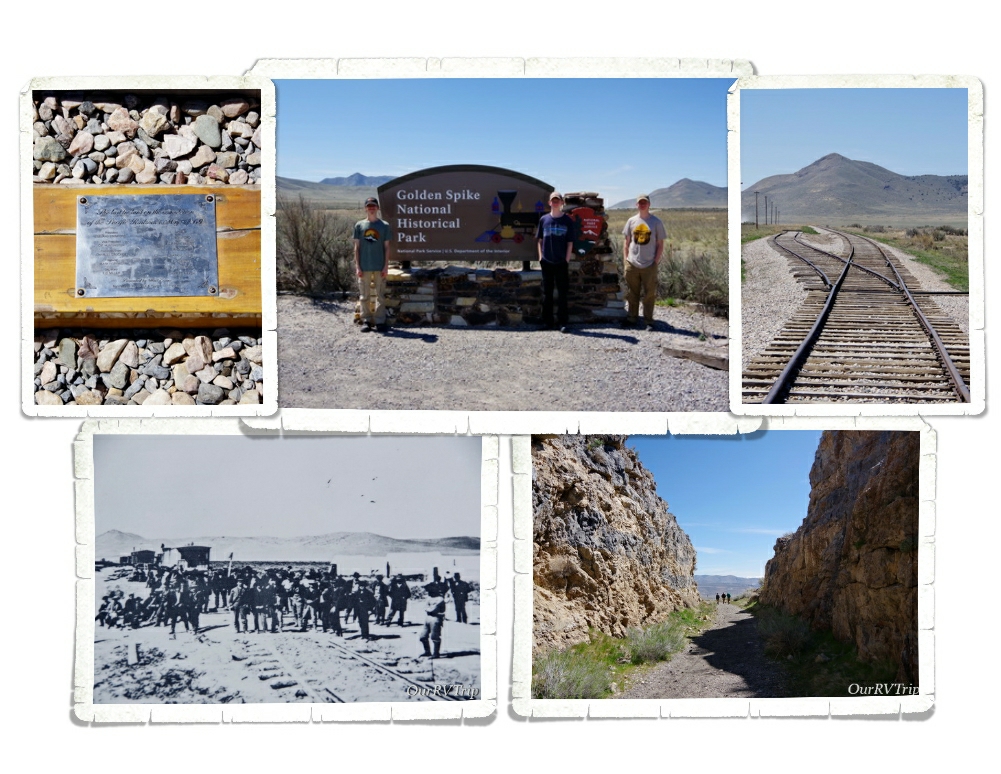
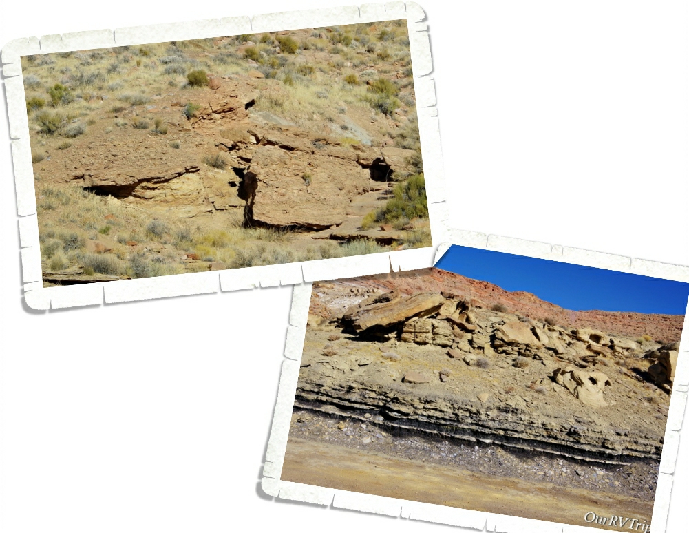
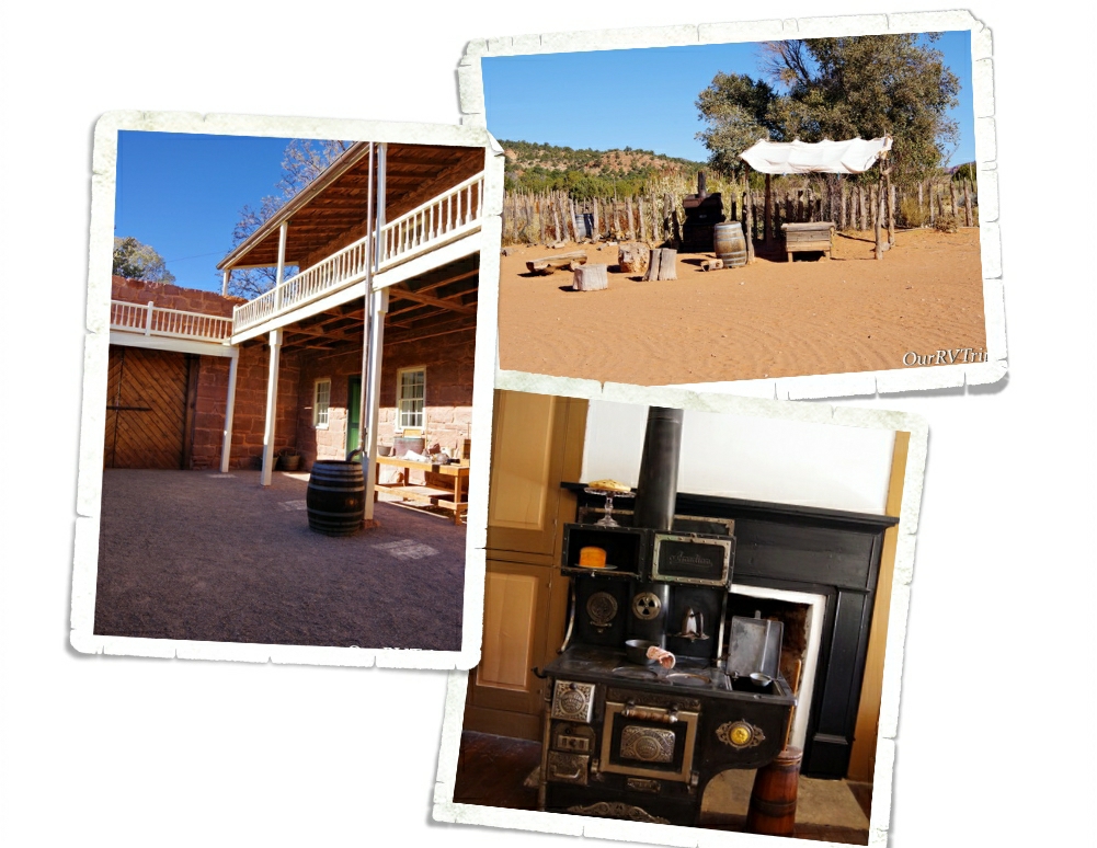
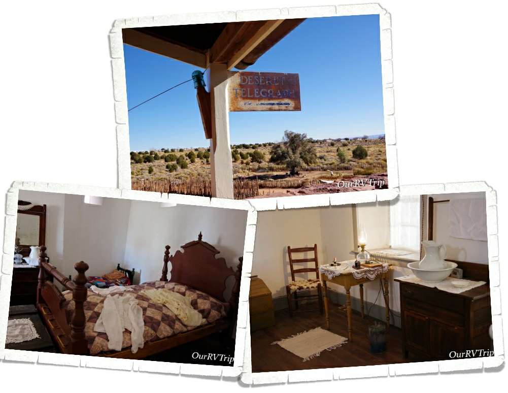
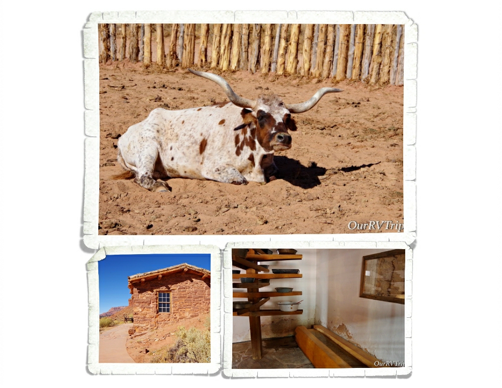
Our second stop in Utah was Brigham City. We stayed there for three weeks while we were trying to figure out what we were going to do. Our second weekend there was National Park Day. We’d planned on going to Golden Spike National Historic Park from this stop…so…we went. The visitor center wasn’t open. I’m still not sure if I’m going to count it since we didn’t get any of our usual souvenir stuff or Junior Ranger badges. We did a couple of hikes and then headed to the spot where the golden spike was driven in to connect the Central Pacific and Union Pacific railroads, completing the transcontinental railroad.
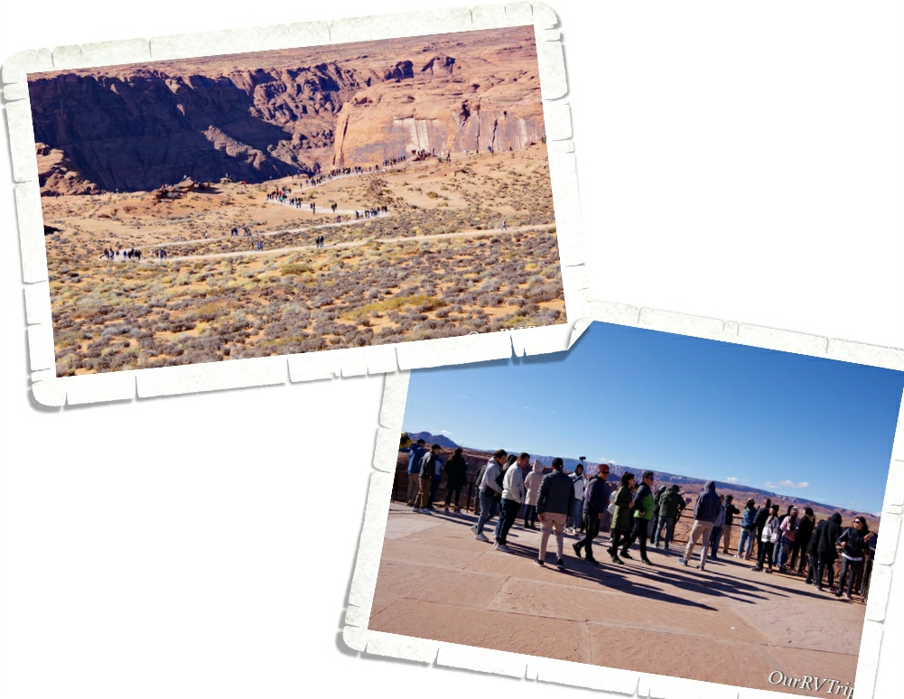
There were a few other families there. We all stayed away from each other while we pretended not to. It was nice to get out of our home-on-wheels and get some dirt under our hiking shoes…but honestly, it was kind of a bummer and a huge reminder of all the yuck that was currently happening in the world. Pass the hand sanitizer…I need to douse everything in it before even thinking about touching it. Someone in one of the other groups kept coughing…I kept moving us away from people…it was a mess. I was a stressed out basket case by the time we got home.
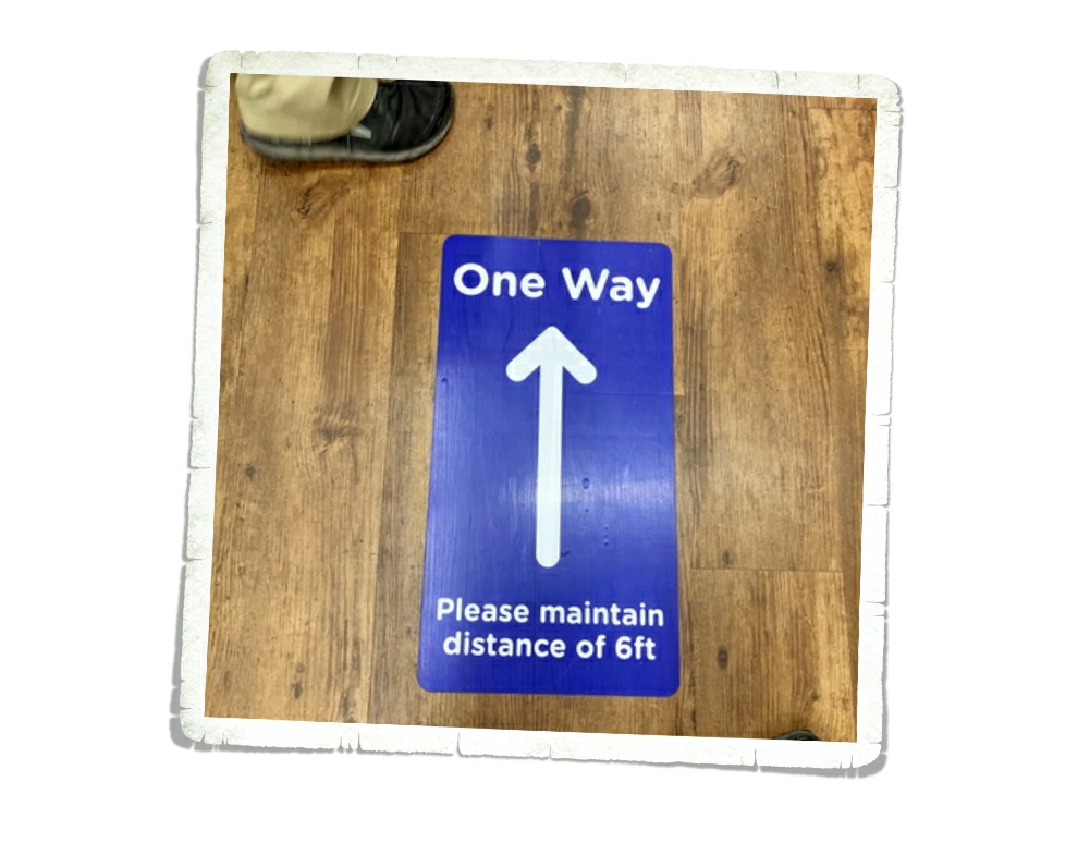
It was during our second week in Brigham City that we went to the grocery store and found these directional signs all over the place. No one was paying any attention to them. We were still trying to find toilet paper, hand sanitizer, tissues, paper towels and cleaning spray. And, meat products were being limited to two. Um, have you ever tried to feed three teenage boys? We were going to the grocery store almost daily just to get enough food.
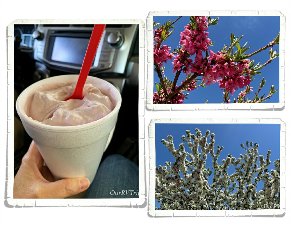
On a positive note…everything was blooming and there were pretties everywhere! Oh, and…we found some amazingly good raspberry shakes. Who needs to be able to button up their jeans? I like to wear stretchy pants anyway. ;-P Ha!
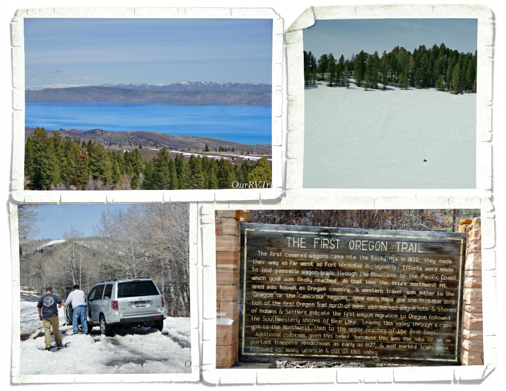
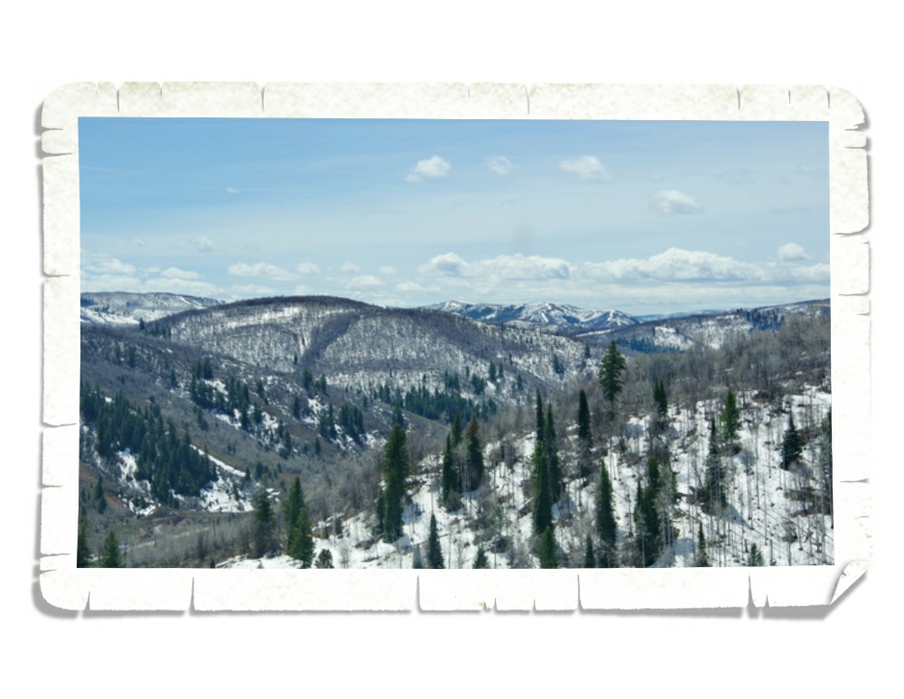
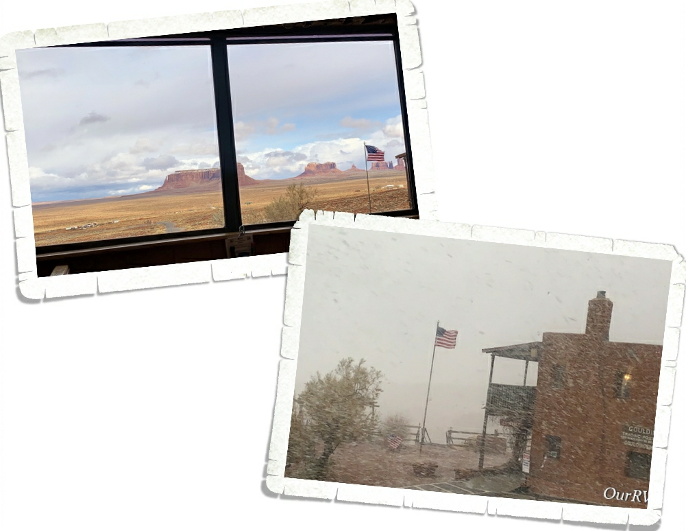
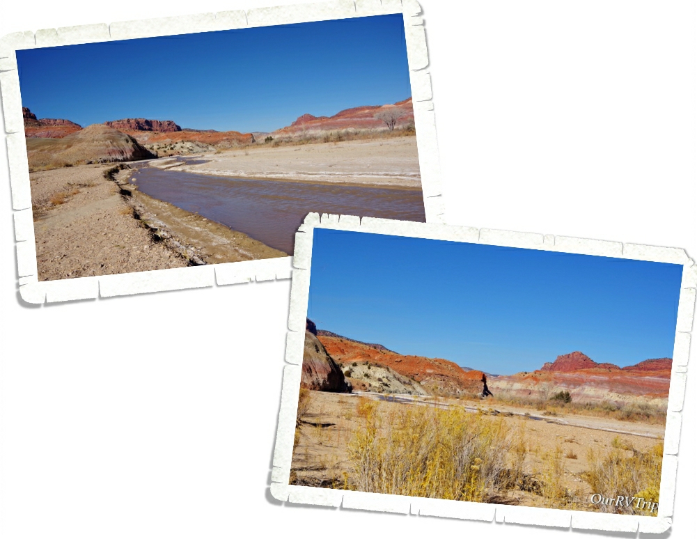
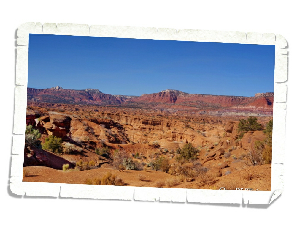
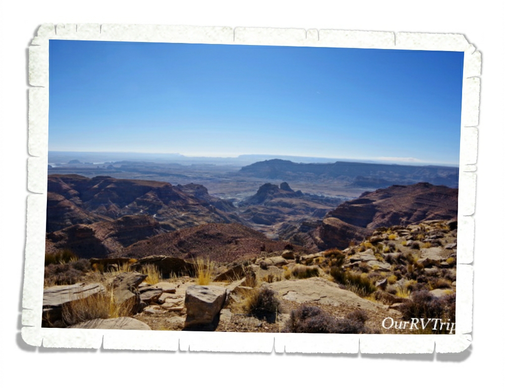
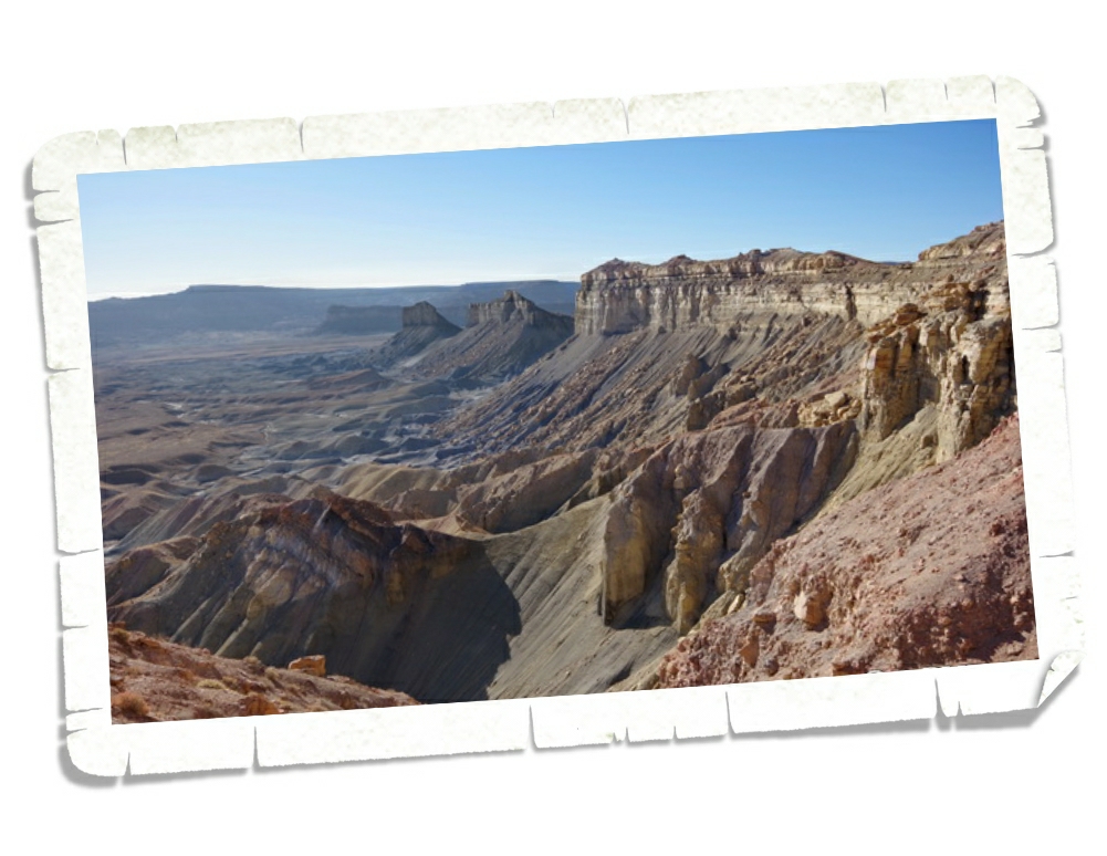
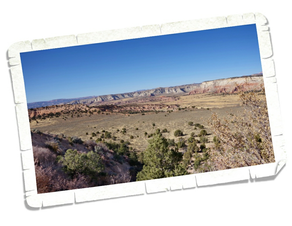
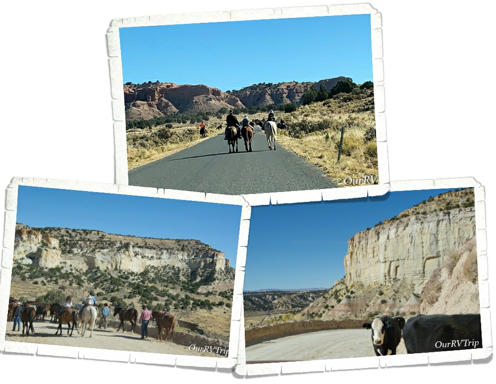
We were in desperate need of an adventure, but the thought of getting out around a lot of other people wasn’t appealing. So, we headed out to do some scenic driving. We headed up to Bear Lake to see what we could see. On the way there we passed by the road to Tony Grove Lake and decided to go explore it. We got quite a ways up the road before we ran into the snow…and another car that was stuck. We watched then tried to help them. They eventually got out and headed back down the road. We eyed the snow and thought about trying it. We got to about the same spot the previous car had been stuck in and…got stuck. So, back down the road we went too…vowing to try again before we left Utah.
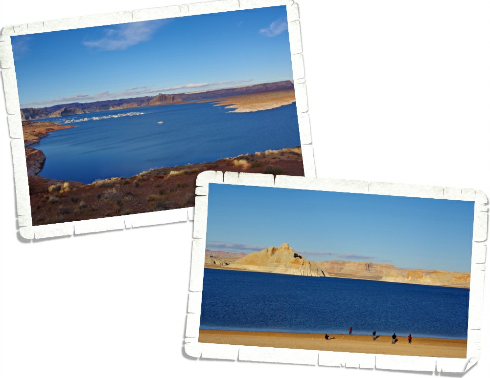
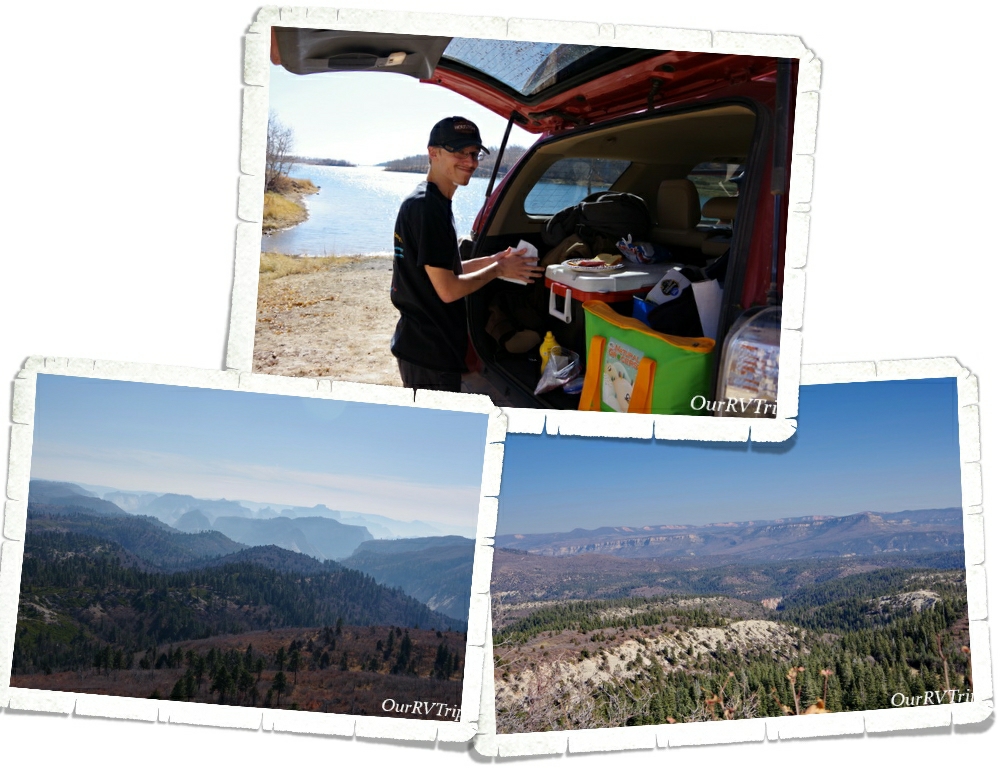
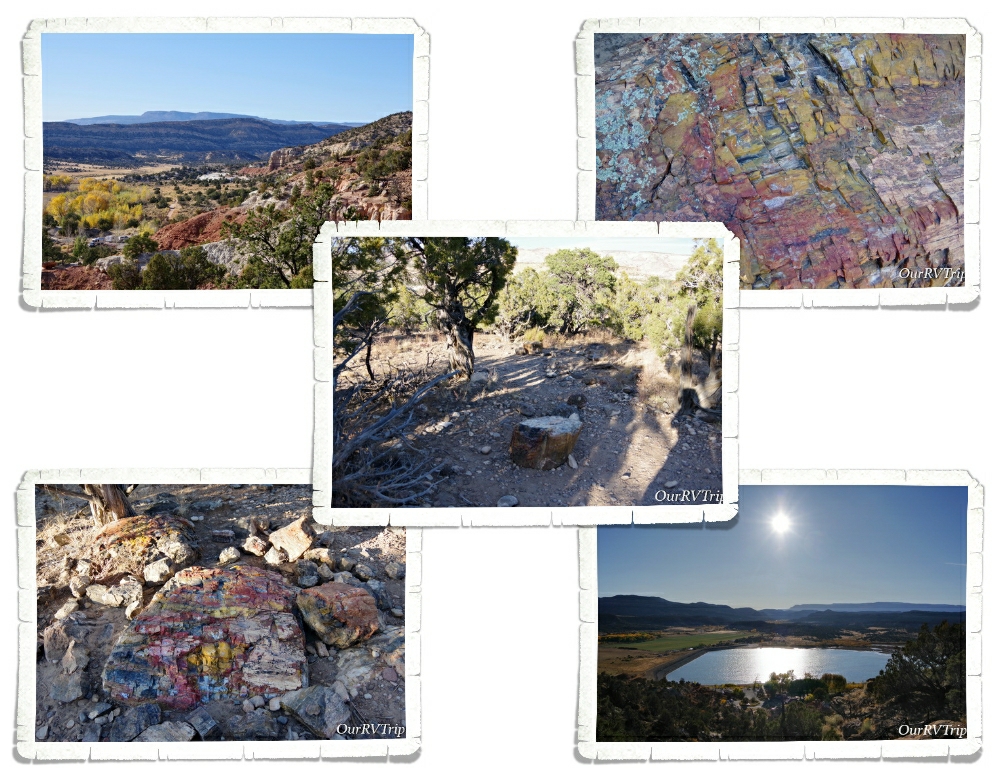
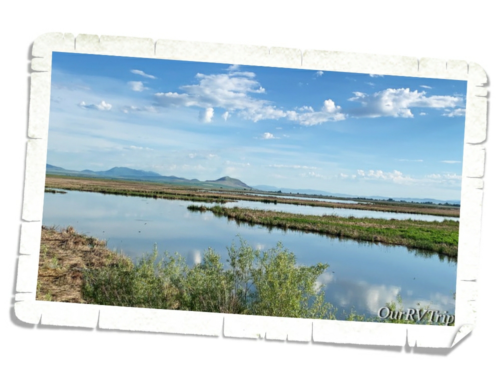
We made it to Bear Lake and was rewarded with some amazing blue water! There was an overlook that offered us a safe place to ogle the view. The restrooms were open and we found some brochures on the area’s attractions. Yes, I doused them all in sanitizer before I looked at them. I made a whole batch of hand sanitizer with 91% alcohol…we had plenty. Those virus germs didn’t stand a chance.
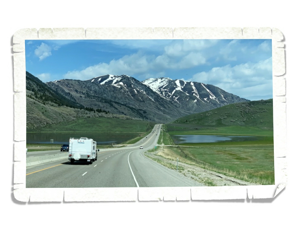
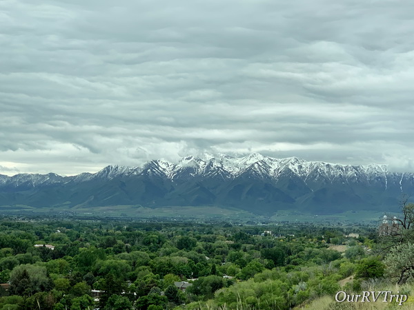
When we drove up to Bear Lake we passed through the town of Logan. We liked it so much that we decided to spend the next month there. It took a week of playing phone tag to snag a spot at pretty much the only decent RV park in the area. I was getting ready to go with plan B when we scored a spot! And Guys, we really love the Logan area.
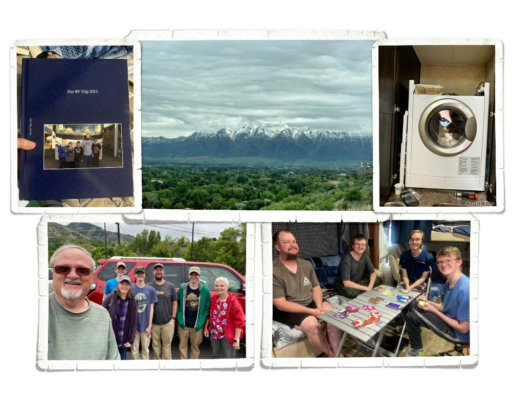
We spent a month exploring the Logan area and getting to know the community as Utah started to open back up. We played quite a few board games in between working on some projects. Our dryer decided to die one day. Thankfully, Jerl was able to fix it. My aunt and uncle headed up our way the week before Memorial Day to place some flowers on family graves and they stopped by Logan for another visit! It was so good being able to visit with them! **waves again**
We also started the process of printing out our blog into book form. Our blog is really my (Jennie’s) digital journal. I’ve got five years worth of our nomad adventures journaled here on our blog. With everything that was happening in the world, I kept worrying that something would happen and my digital journal would disappear. I know…I’m a worrier. It’s genetic (gives side-eye to her mom). I found a company that will take a blog and print it out into books. I’m doing one book per calendar year and Guys…I’m totally loving them! Plus, it’s just one less thing for me to stress about. I’ll call that a win.
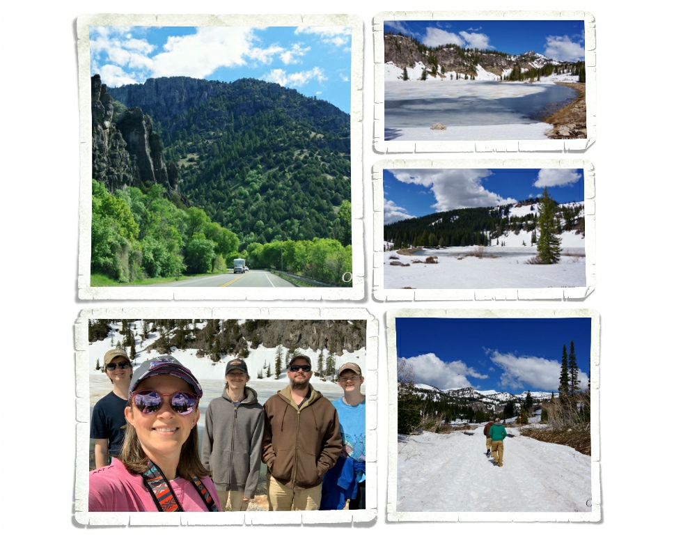
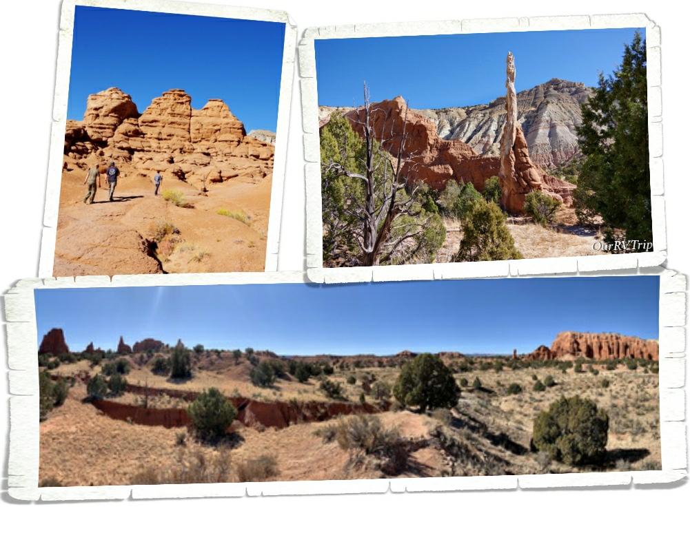
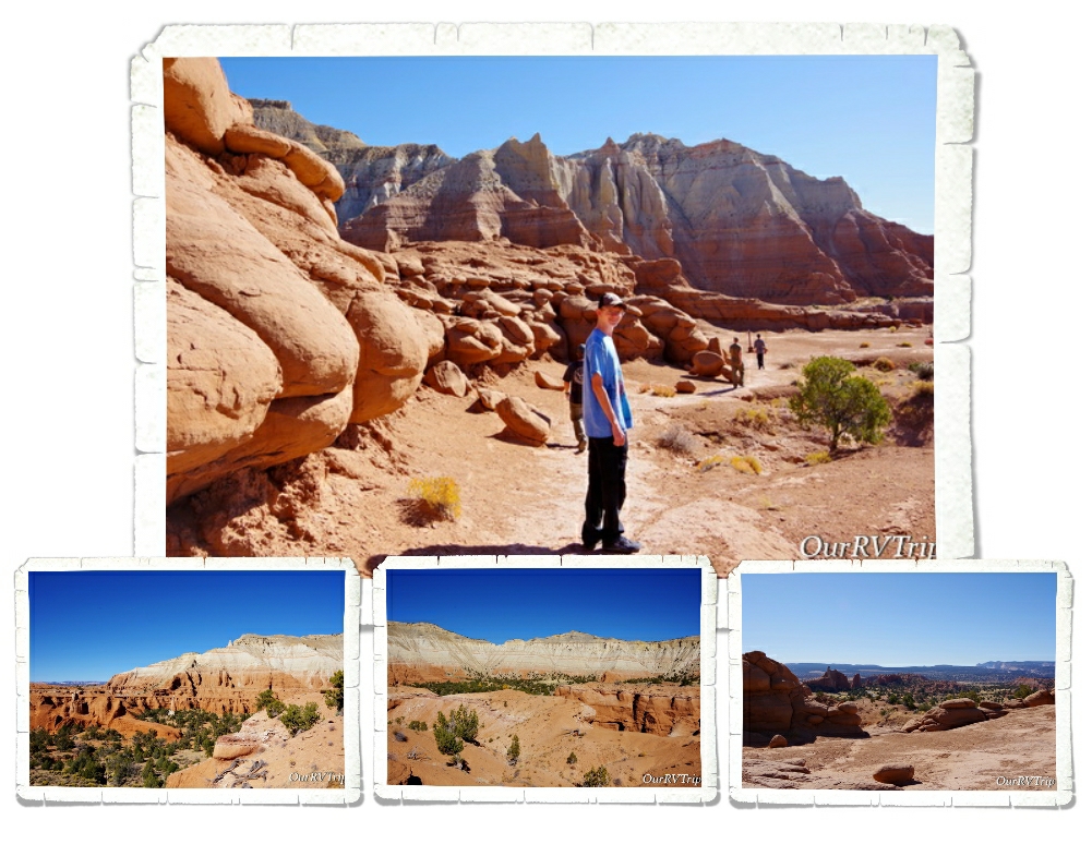
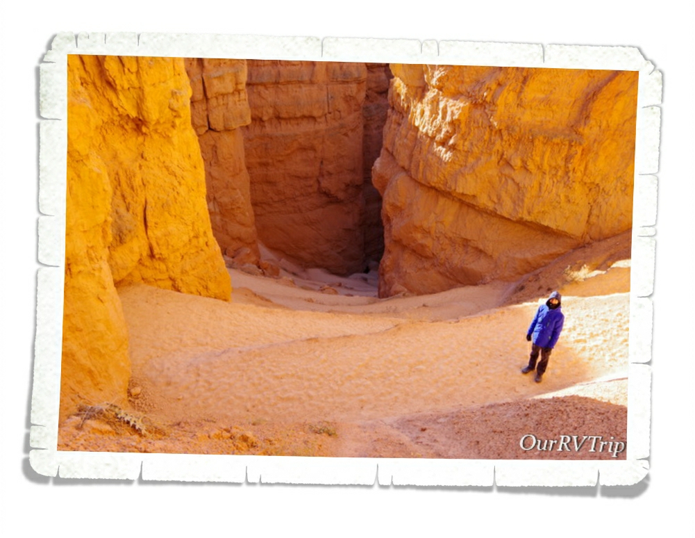
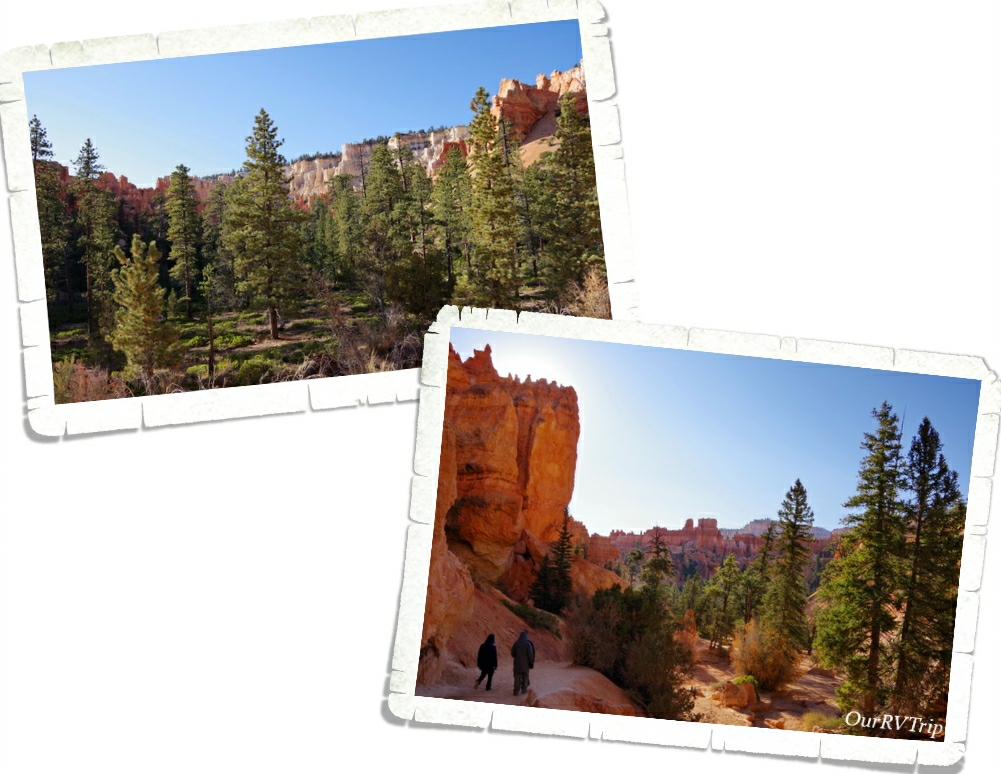
On our last weekend in Logan we drove back up Logan Canyon to Tony Grove lake again. We’d had some pretty warm days and hoped the snow was gone so we could see the lake. We ended up having to hike about a mile in the snow, but we made it to the mostly frozen Tony Grove Lake. We somehow timed it just right. We had the lake to ourselves until we were starting to leave. A couple of other groups showed up…some on snowshoes and some on snowmobiles. It felt so incredibly good to be back out in nature, stretching our legs and working our lungs! I think we were all in need of some fresh air therapy.
People have been visiting Tony Grove Lake since the 1800s. A Logan family (the Thatchers) would go to the lake for six weeks every year with some of their family and friends. The lake became known as Tony Grove Lake because the Thatcher family was known as the “tony’s” which is a Victorian era term for a socialite. Apparently, the Thatchers were the Kardashians of the 1800s. Back when they were having their annual six week camping trips, the area was known for bears and mountain lions. Today, you might see a moose but supposedly, there aren’t any bears or mountain lions left.
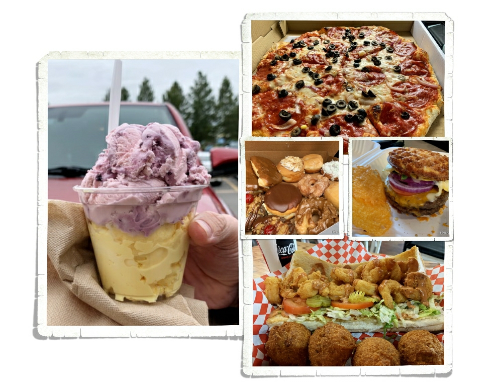
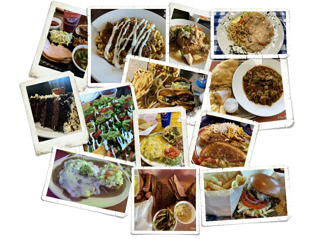
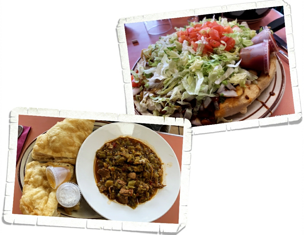
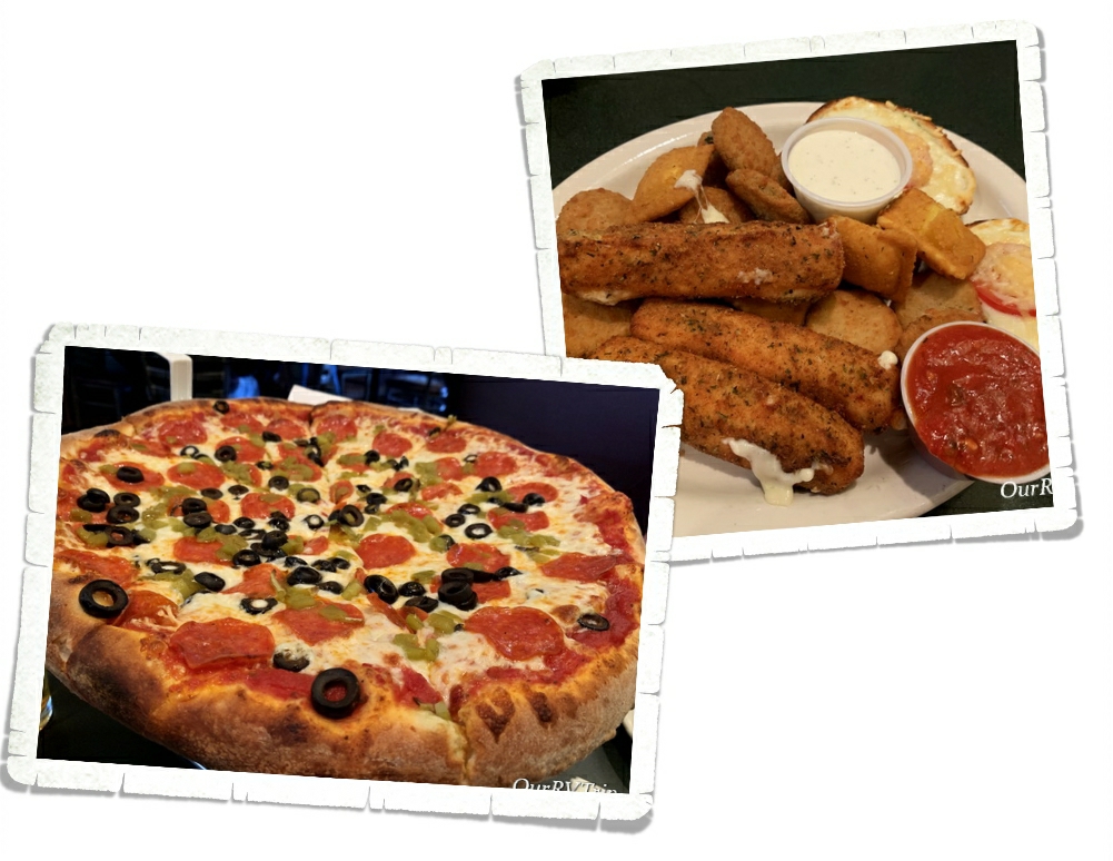
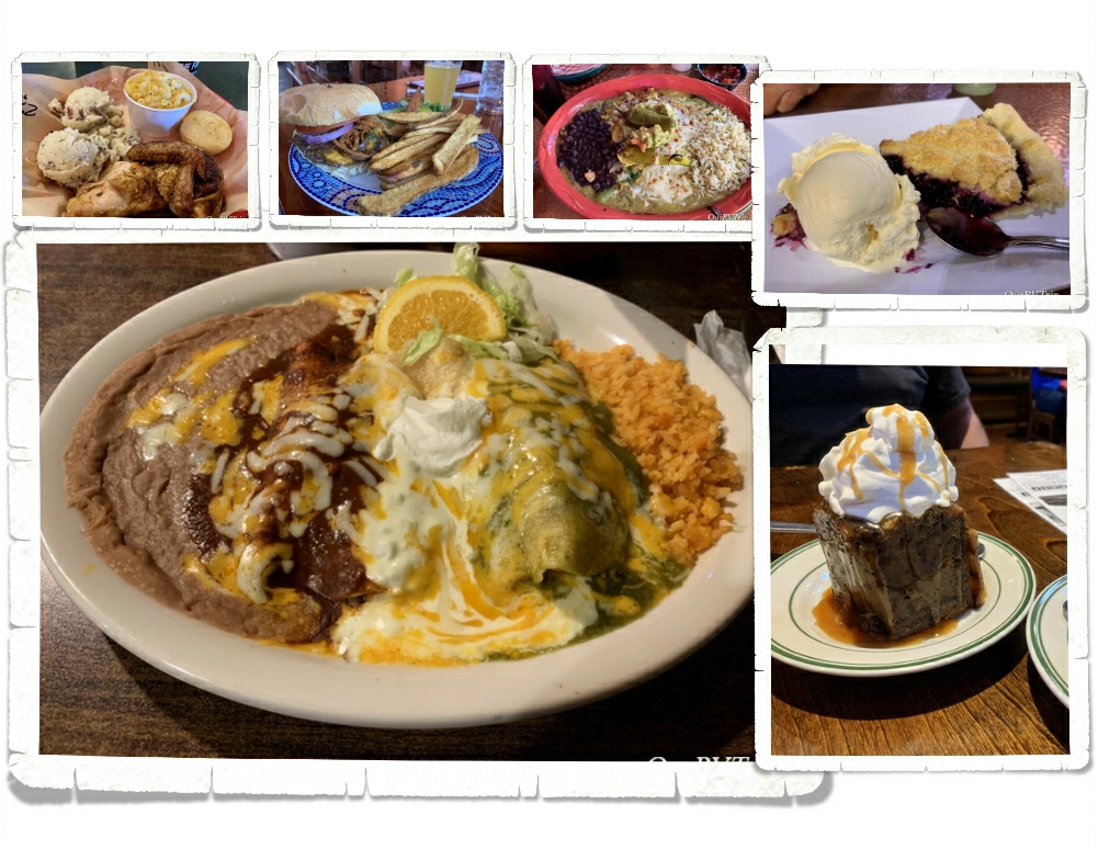
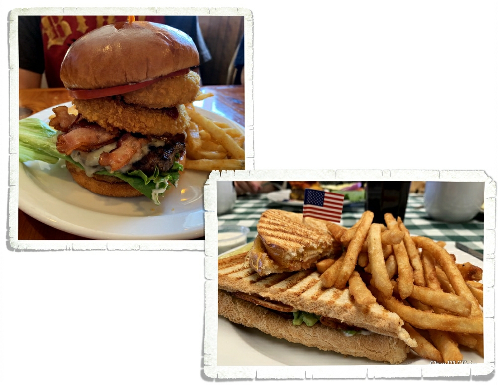
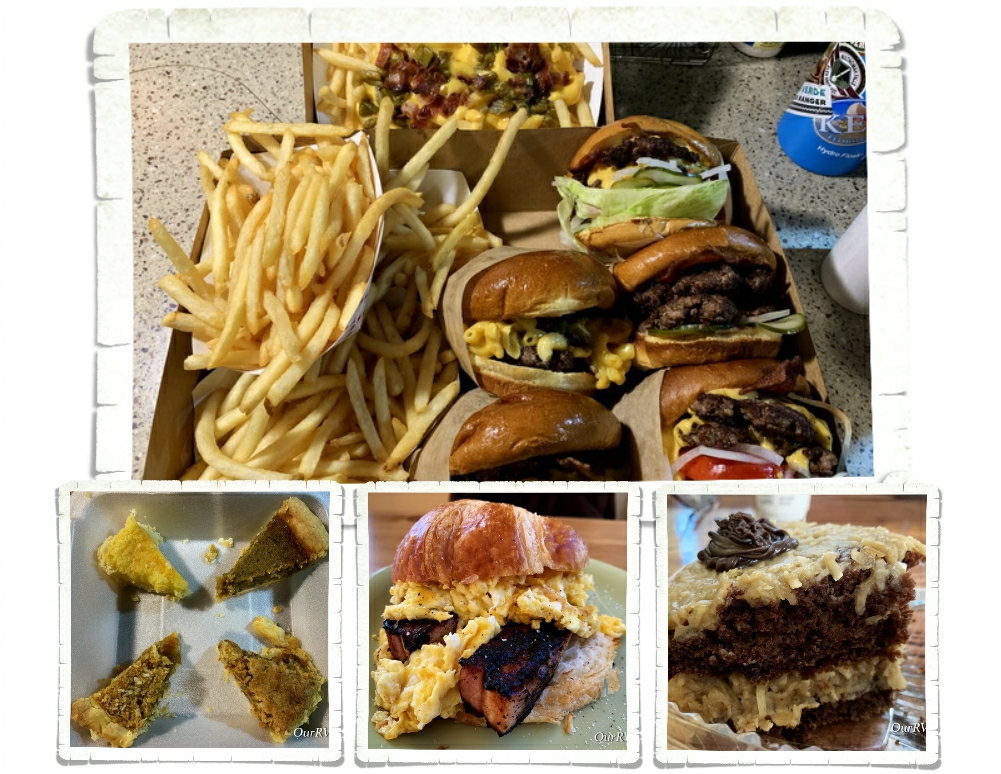
Shall we talk foodies?! As Utah started to open up even more…restaurants opened for dine in and we were able to grab a few meals out. Logan isn’t lacking for foodie spots. We found some new faves. One of the surprise spots was a Cajun place! Cajun in Utah? Um, yeah…we were pretty surprised too. But, Guys…it was really good. The owner is from Louisiana and he knows his foodies. If you’re ever in Logan go check out MayMoes Cajun Grill. If you’re looking for a good burger, head to Center Street Grill where you can get yourself a chaffle bun for your burger.
That’s if for our Utah adventures…this time. I have a feeling we’ll eventually be back in the Logan area. Utah ended up being just what we needed during a time of stress and worry.
We’re still on our National Park Tour…so stay tuned.
#nationalparktour