Category: Hiking

Canyons and Cliff Dwellings in Colorado

Canyons and Cliff Dwellings in Colorado

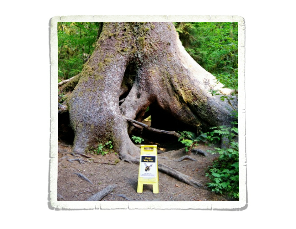
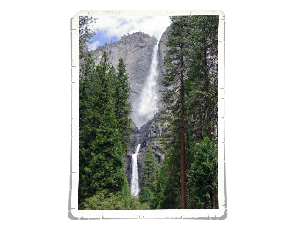
Hey Guys! After two weeks fighting yellow jackets in Colorado Springs we were ready to move on. While we loved Cheyenne Mountain State Park…we got really tired of fighting for our food and running from the yellow jackets. It took us two days to drive to Montrose. The plan was to hit a state park during our overnight to get in a hike to a waterfall, but we got there later than we’d anticipated so we missed the hike. We weren’t too upset…it would have been another hour drive and we were all pretty done driving/riding for the day.

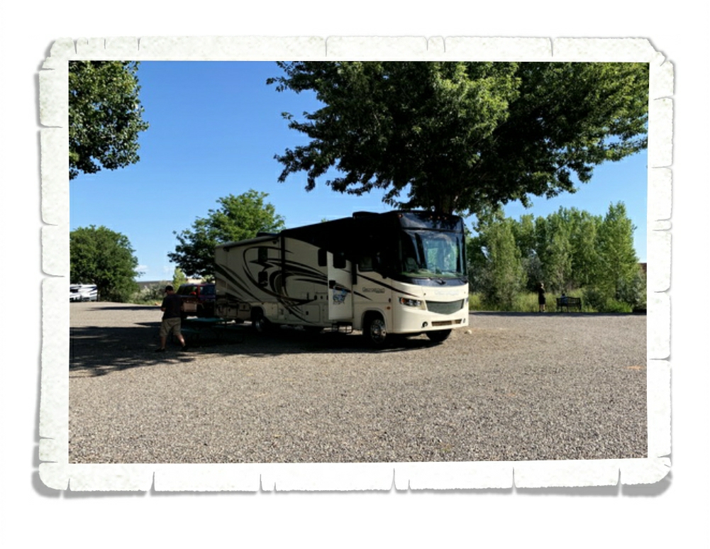
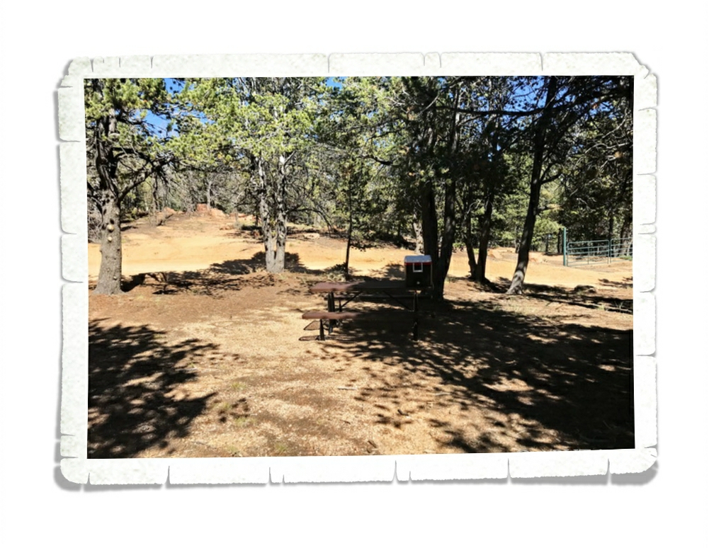
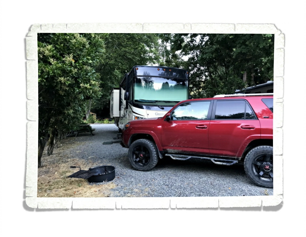
Our spot in Montrose was fantastic! We had shade pretty much throughout the entire day…which was welcomed with the 90° plus temps we were getting. I’ve started making notes on each of our spots. We stay at so many places they can get jumbled up in our memories. Did that place have good cell service? What were the sites like? Did we have a spot we wanted to get next time?

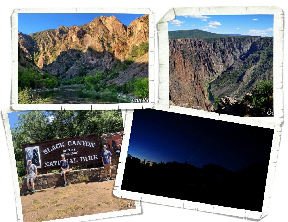
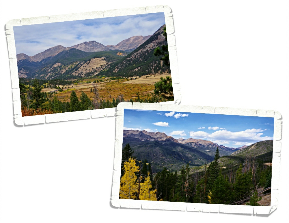
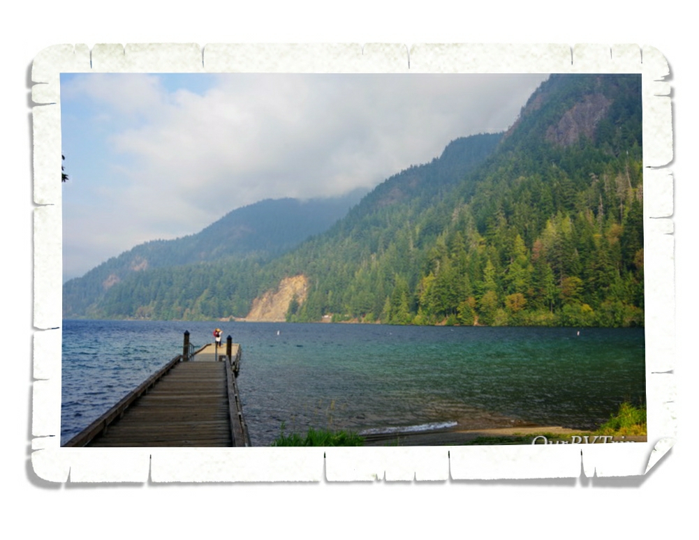
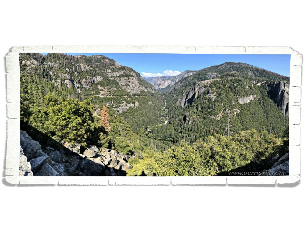
The main reason we stayed in Montrose was to visit Black Canyon of the Gunnison National Park. It’s called the Black Canyon because the walls are usually in shadows (there are parts of the canyon walls that only get about thirty minutes of sunlight a day) making the canyon look black. This canyon started forming millions of years ago as the Gunnison River cut it’s way through rock eventually making one of the steepest cliffs in North America. Even with the dizzying height of the canyon, you can still hear the Gunnison River at the bottom as it continues to carve away the Black Canyon. At somewhere around 2,000 feet high and only about 1,000 feet wide the Black Canyon may not be the deepest or biggest canyon in the US, but it definitely has a beauty all it’s own. Plus, it’s one of the least visited NPS units which means fewer people. We had most viewpoints to ourselves. We did a few hikes, made our way down the dirt road to see the Gunnison River at the bottom of the canyon and went to an astronomy program one evening. The park never felt crowded.

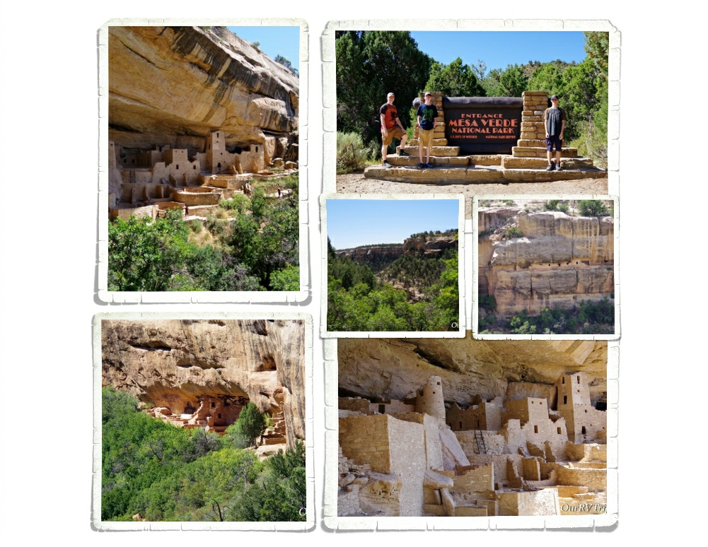
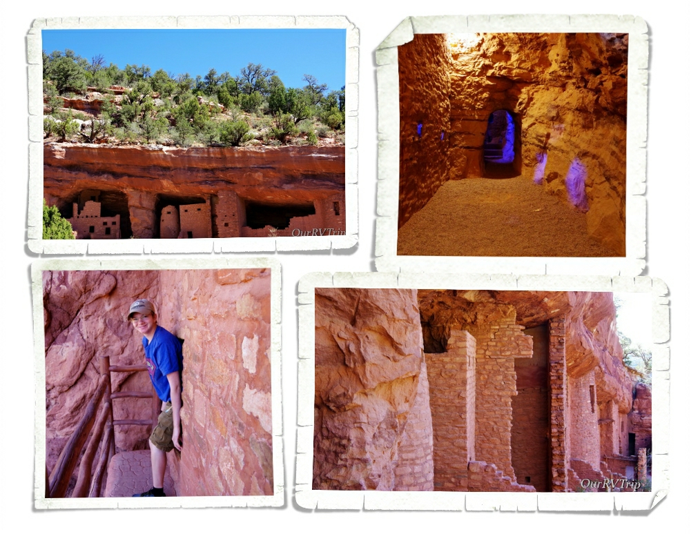
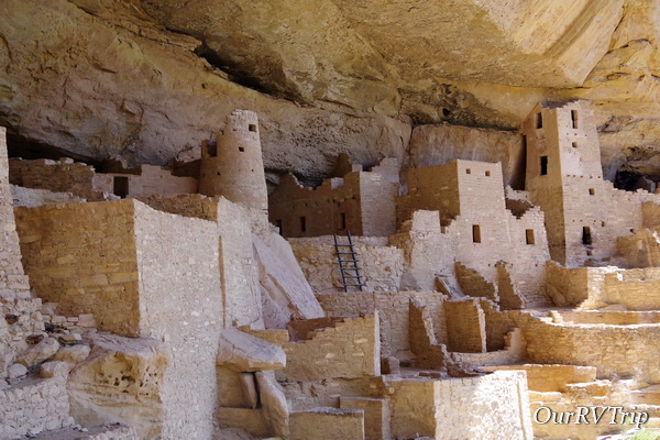
We hadn’t planned on going to Mesa Verde National Park from Montrose, but we realized if we waited until we were closer later on in our loop, all of the tours would be closed. We’ve always enjoyed the National Park Units that protect and tell the history of the Ancestral Pueblo people so we had high hopes for this park. Mesa Verde National Park protects around 5,000 different archaeological sites which include almost 600 cliff dwellings. The Ancestral Pueblo people made this area their home for 700 years. We saw so many cliff dwellings all along the walls of the cliffs that make up this park. Now, the most important thing you need to know about visiting Mesa Verde NP is that you have to take a Ranger guided tour to actually get down into one of the dwellings. We did the Cliff Palace tour and we definitely weren’t the only ones there. The tour was packed. Our Ranger talked so much that we didn’t get to do much looking. When we tried to lag behind to snag some pictures or look he would hurry us along. The tour was pretty disappointing. The NPS needs to either give more time between tours or make the tour groups smaller.

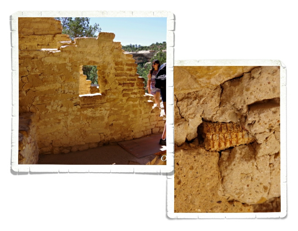
One of the cooler things we learned was that the Ancestral Pueblo people would use corn-on-the-cobs to chink in the spaces in the walls. We saw a 700 year old corn cob. We think we know quite a bit about the Anasazi people. We know they use to farm on the tops of the mesa’s that their cliff homes were built on. We know they made baskets and later on pottery. We know they lived in communities. We know they hunted. We even know how they collected water. What we don’t know is why they suddenly abandoned the Mesa Verde region.

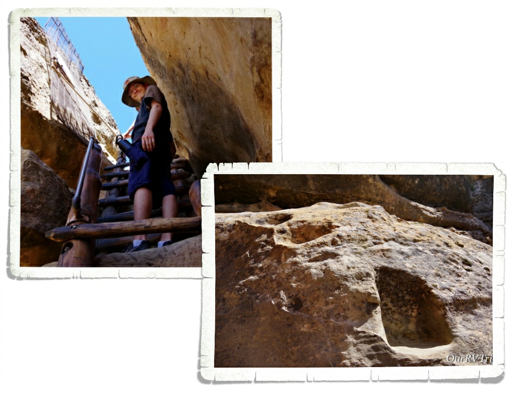
Going on a tour of one of the cliff dwellings is a workout. You go down stairs, up ladders, and on some tours you crawl through tunnels. The Ancestral Pueblo people didn’t have the luxury of stairs and ladders. They used hand and foot holds to make their way down or up the cliff faces. We were told by a visiting archaeologist that each trail had a story that went with it so they could remember what hand or foot hold to use next. It was also a type of security…if you didn’t know the story, you’d have a harder time finding your way. I’m not sure how they could know that…but, I’m not an archaeologist.

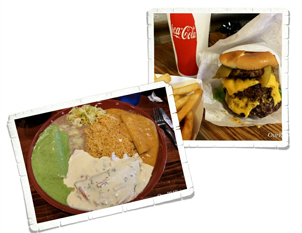
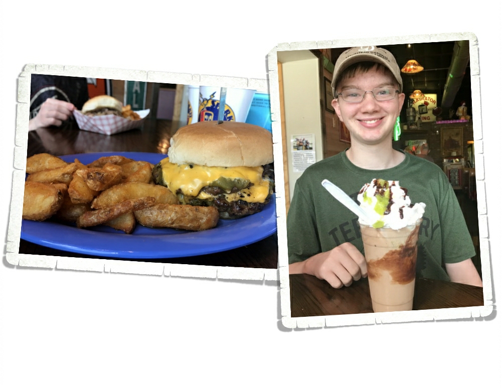
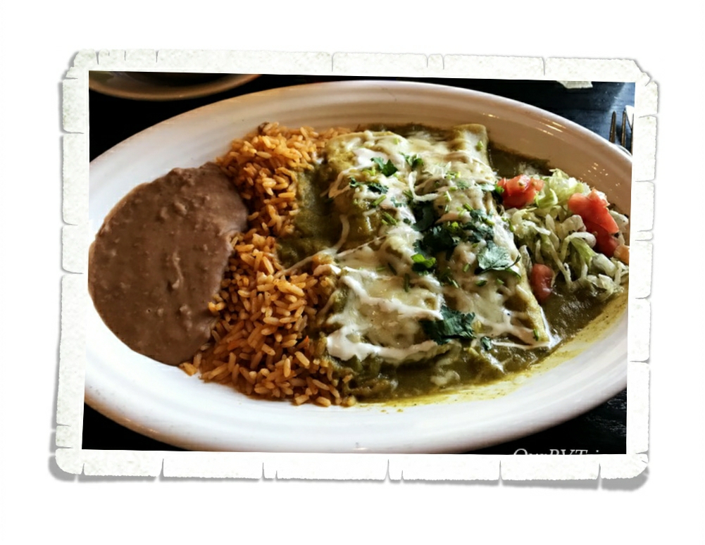
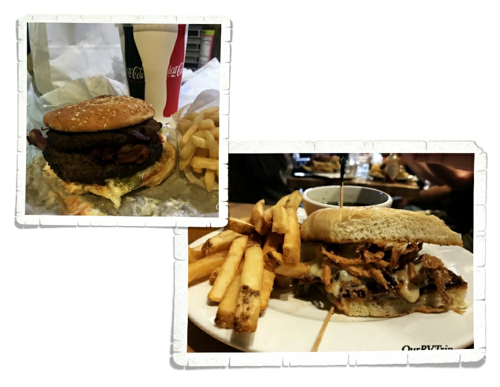
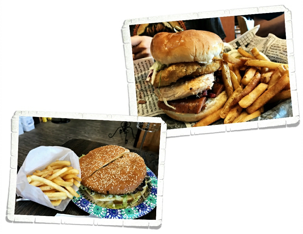
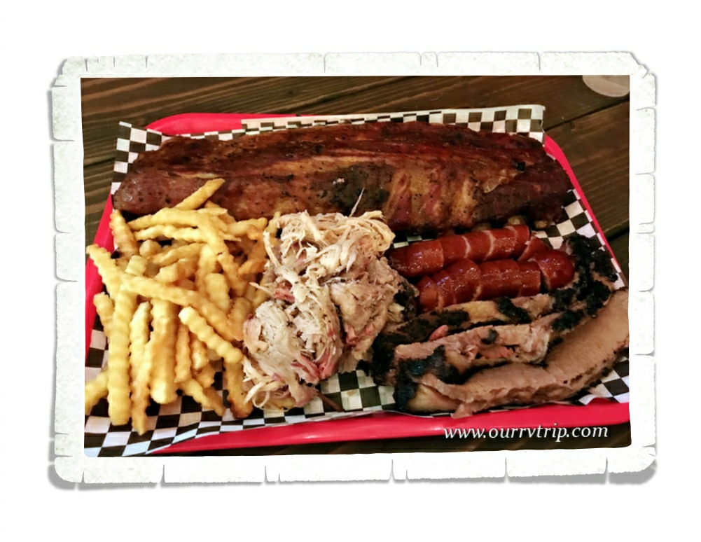
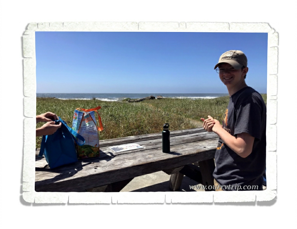
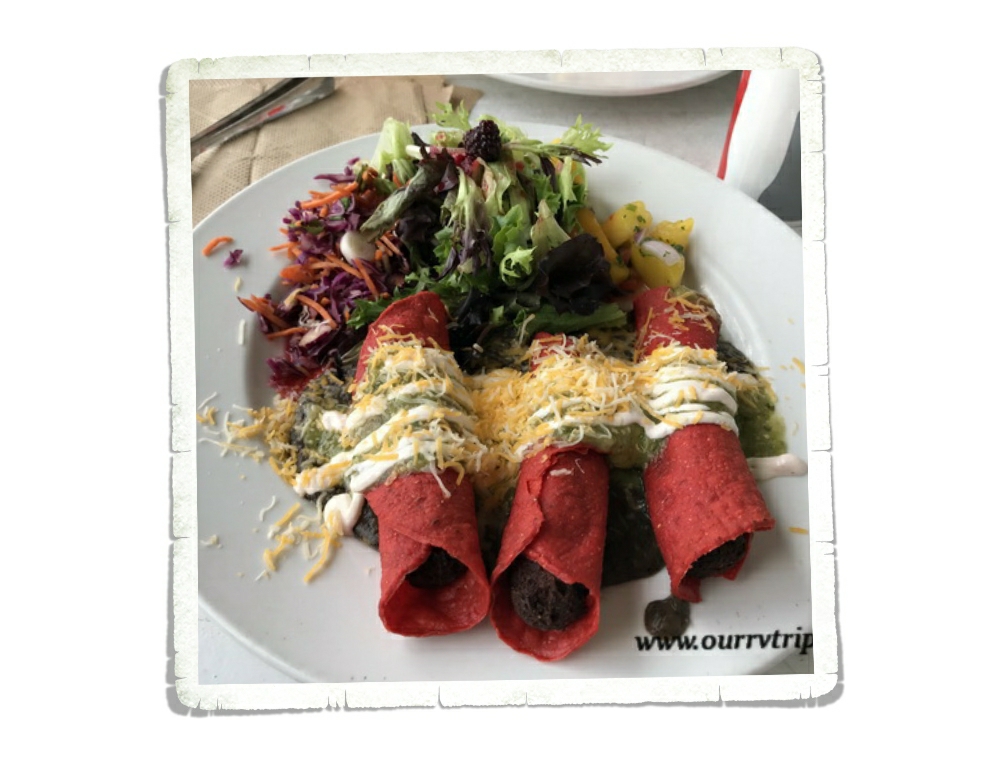
Let’s talk foodies. We found a few places we liked. One was a Mexican place called Mi Mexico. Guys, we were really surprised by this place. We went into it not expecting anything spectacular, but we liked it so much we ate there three times in the two weeks we were in the area. Another of our favorites was a little place called Crash Burger where we got some very tasty burgers and fries.

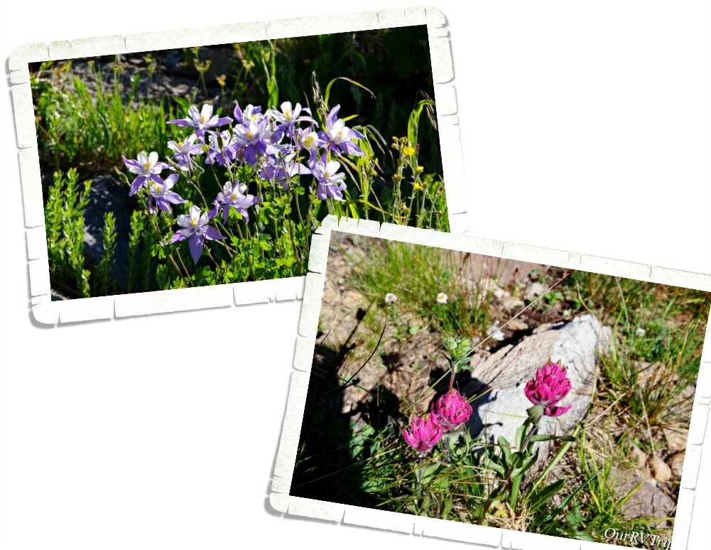
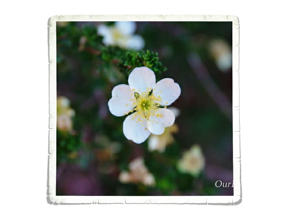
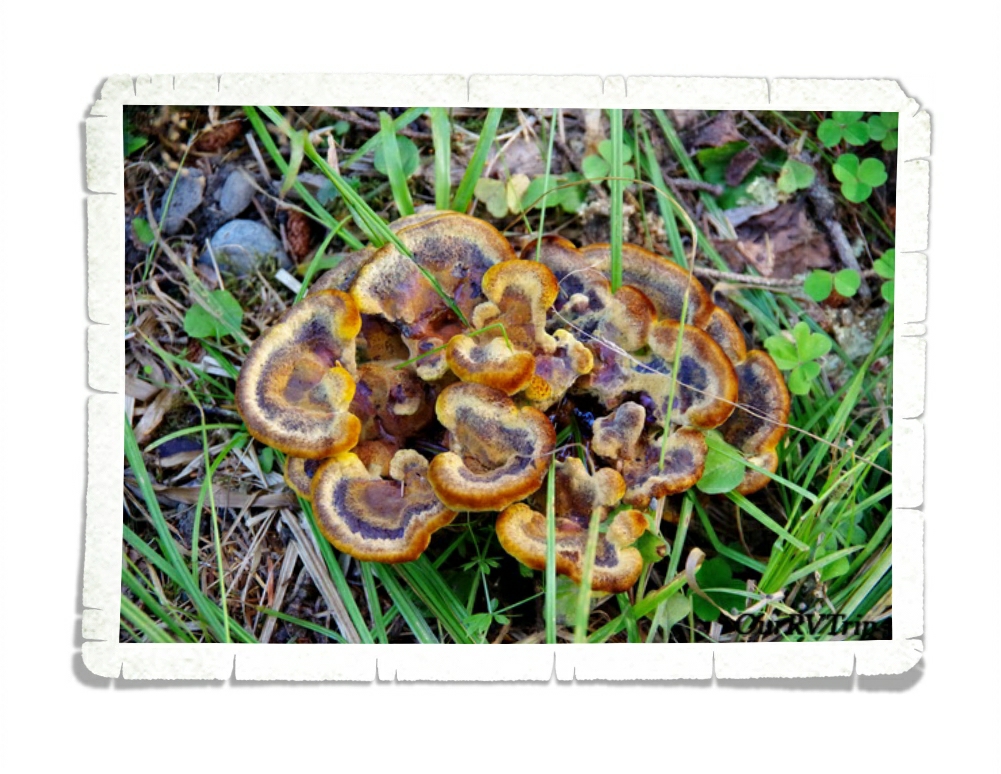
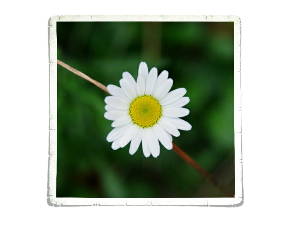
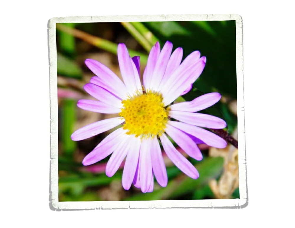
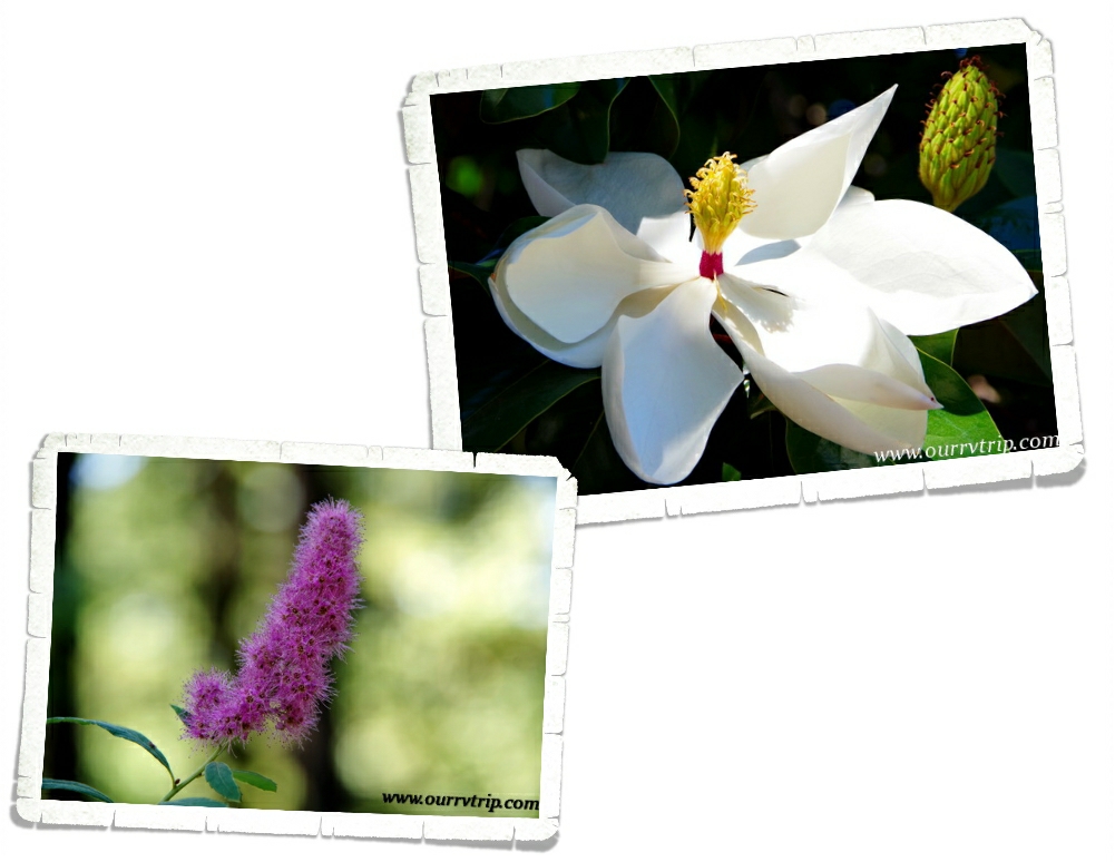
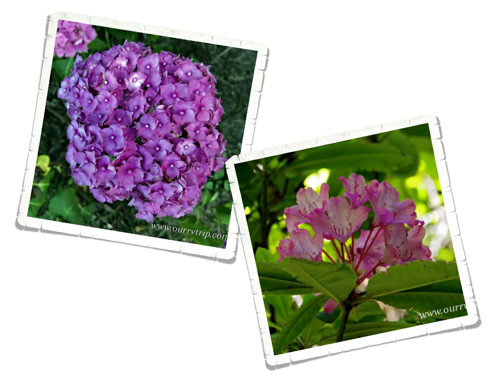
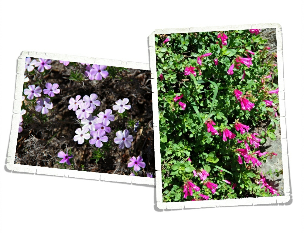
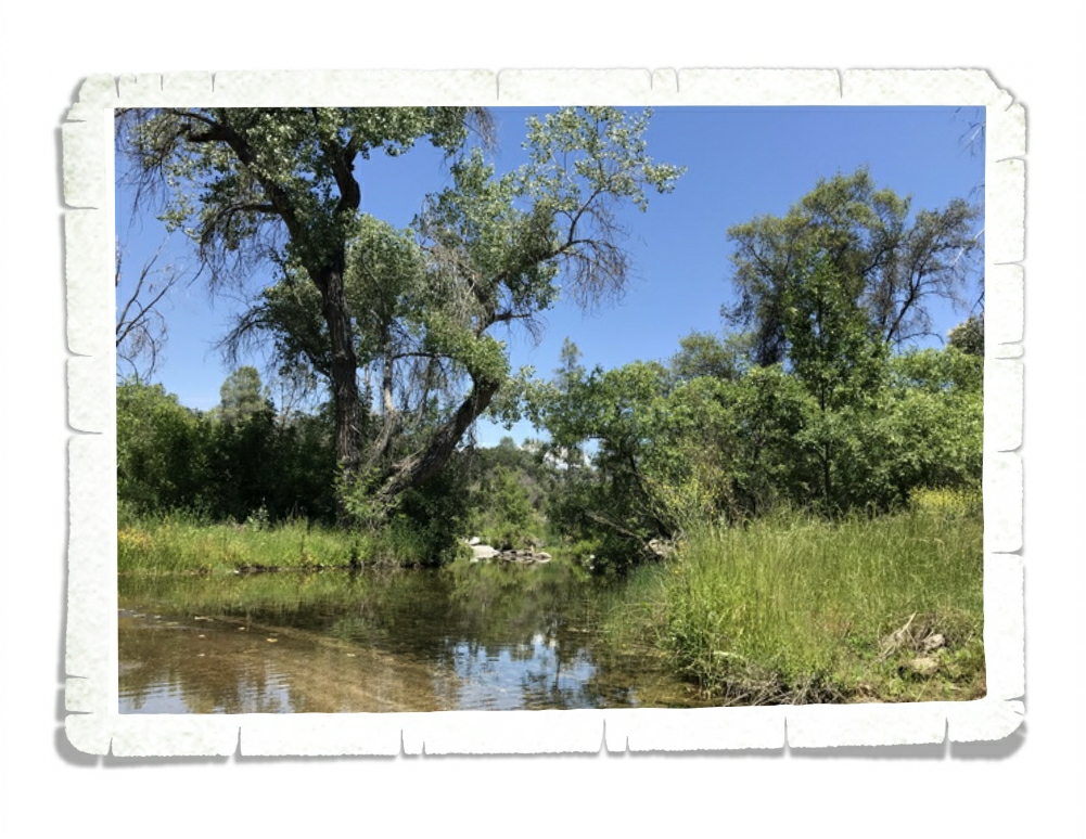
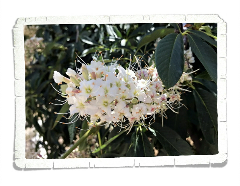
There were flowers everywhere! They were so gorgeous!! I might have taken a few dozen pictures of various flowers/weeds that I found. Y’all know how I like my pretties.

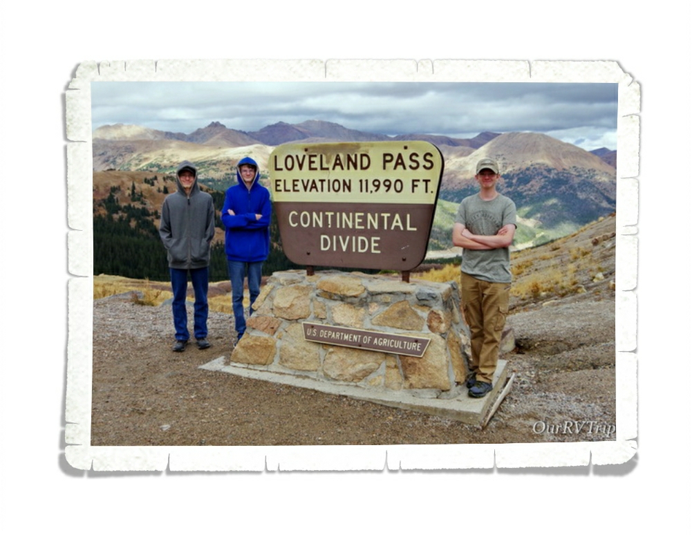
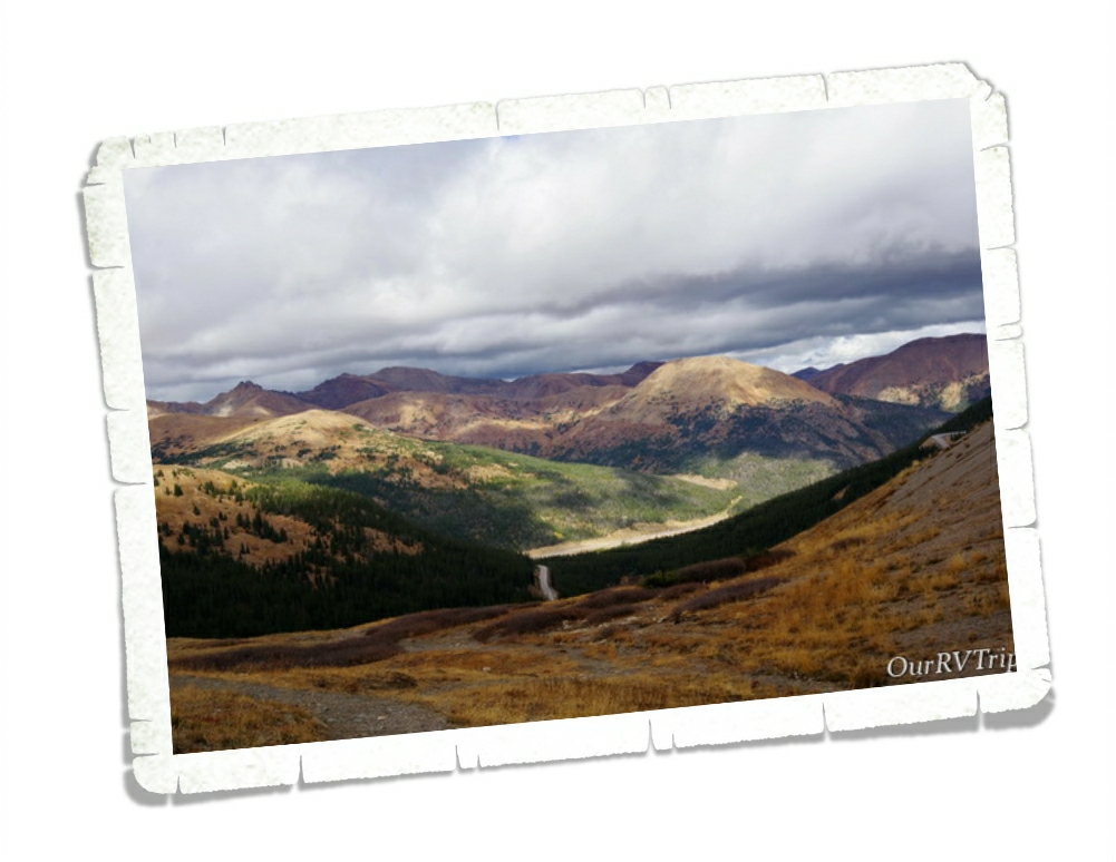
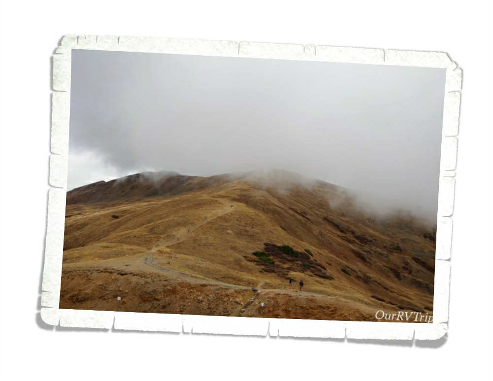
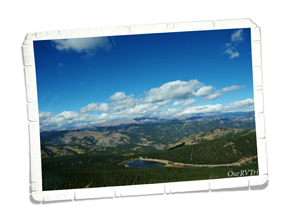
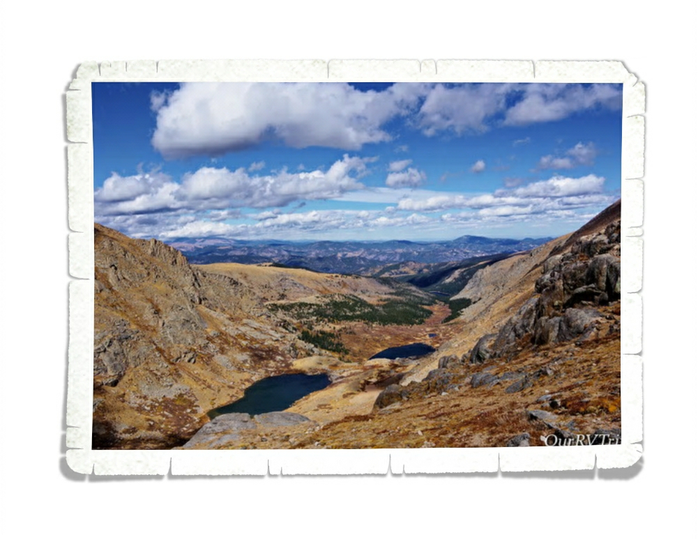
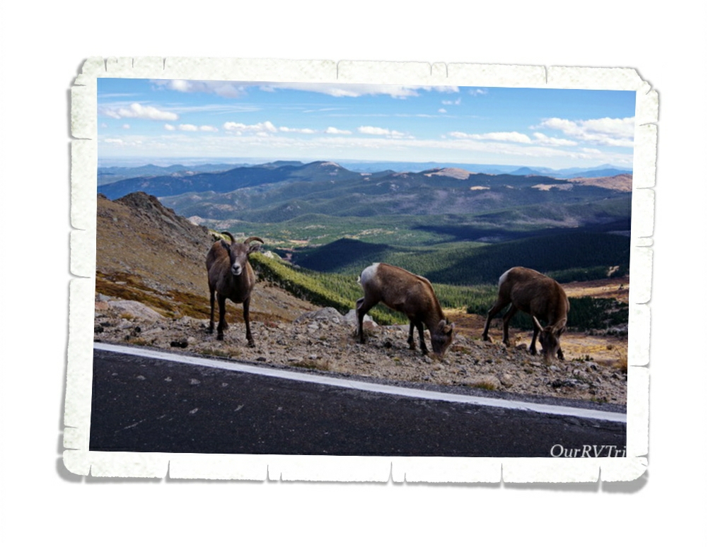
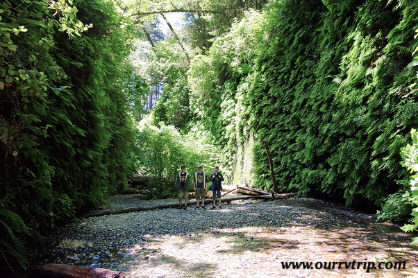
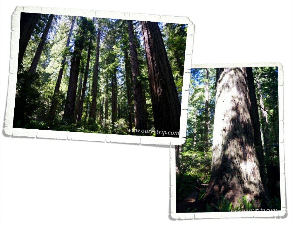
Well, Guys, I’m going to save the rest of our Montrose area meanderings for the next post. Stay tuned for an epic mountain drive, ghost towns, and another National Park Service unit!

See y’all down the road!

#NationalParkTour

Mountains, Mountains, and More Mountains

Mountains, Mountains, and More Mountains

Hey Guys! Here’s part two of our Denver area explorations. If you missed part one, you can find it here. We were only in the Denver area for one measly week, but we crammed every bit of adventure we could into that one week.

It was so cold and windy the day we went to Loveland Pass. Alex forgot his jacket and wasn’t up for doing much exploring so we walked around a little, snapped a few pictures, and got back into the warmth of the car.

Even on a cloudy day the view was breathtaking…and not just because it was cold.

We got there right as the clouds started brushing the tops of the mountains. We thought briefly about walking up the trail…but with one of us without a jacket and the bitter cold…we passed.

This picture was taken the same day as the ones on Loveland Pass. We took a drive up the Mount Evans Scenic Byway. We barely squeaked in on the last day the road was open for the 2018 season.

We made it all the way to Summit Lake before we had to stop. The road to the summit was already closed. Alex was still without a jacket so our hiking was pretty limited. It was a balmy 30° with a wind-chill much lower at Summit Lake that October day. Those of us who braved the cold and wind to see the views really wished we had actual coats and not just jackets. But Guys…look at that view!

We saw some female longhorn sheep. There was a whole herd of them just hanging out right by the road. Checking out the cars as they drove by. Meandering into the road whenever they felt like it. We thought they were goats until we talked to a Ranger. The Ranger told us all of the goats had been staying higher up on the mountain. Wildlife is one of our favorite things to see while we’re out exploring.

Here’s another shot of the view. This one was on the way back down. We were super bummed we couldn’t go all the way to the summit. We’ve made plans to go back to Colorado next year and have this on our list of places to revisit. Hopefully, on a warmer day.

Mount Evans, with a height of 14,264 feet, is the twelfth highest mountain in Colorado. The Mount Evans Scenic Byway is the highest paved road in North America and takes you through several biomes before getting to the top. We stopped at the Mount Goliath Natural Area to see the Krummholz Forest.

Krummholz comes from a German word meaning crooked wood. The stunted, twisted trees mark the transition between forest and tundra.

We love National Parks. We basically make all of our plans based on National and State Parks along with the State Capitol Buildings. Jerl had been looking forward to this particular National Park since we started this crazy nomad life. We were staying in Golden, CO so it took us a good two hours to get to the Rocky Mountain National Park. We only had one day to explore RMNP so we got up super early and spent the entire day seeing as much of the park as we could.

It was rut season for the Roosevelt Elk in Rocky Mountain National Park. We were hoping to see and hear them. We hadn’t been in the park an hour yet, and we both saw and heard them. You can’t see them in the picture above, but this is where we were standing when we first herd them. Bugling to one another. Calling out challenges. Staking claims.

The mammas and the babies were grazing by the road.

The day we were at RMNP was the last day the Old Fall River Road was open for the season. We couldn’t have timed it better if we’d tried. And trust me, I try…but this was just a happy coincidence. Old Fall River Road was built between 1913 and 1920 as the first motor route to cross the Rocky Mountain National Park. It’s only a nine mile road, but it took us a couple of hours to traverse it. Every turn was cool enough to stop at and take pictures of and ogle, there were waterfalls to hike to, and all four life zones to learn about. The road ends about half way up the main park road at the Alpine Visitor Center.

 Welcome to the high mountain country! It was super windy up on the mountain at the Alpine Visitor Center. Soooo windy and not even close to warm. But I like the views…so we hiked the Alpine Ridge Trail. The trailhead is right off the Trail Ridge Road which is the highest road in any of the National Parks. The trail itself isn’t long…it’s just over half a mile, but it is a steep climb up 220 or so stairs. The trail ends at 12,000 feet. It was so windy the day we went that we kept expecting to get blown off the trail. It was a pain going up…but it totally made the trip down faster.

The view at the top was spectacular! There were mountains in every direction.

On a different day, we would have stuck around and really taken in the view…maybe even picnicked up there, but the warmth of our car was beckoning to us. So, we looked as long as we could withstand the cold and wind then raced back down the trail to get warmed up.

The aspens were showing off their colors. We found this gorgeous grove along the Trail Ridge Road. Fall colors are some of my favorite colors. I spent a good portion of our time here trying to find some fall foliage.

We were in Colorado three whole weeks. We’ve changed our plans for our next loop so we can spend more time in Colorado. For the first time…in 49 states…we’ve found a state that gives our love of Texas (our home state) a run for its money.

Colorado, we will be back.

See y’all down the road!

#westernloop2018

Our 2018 Year In Review

Our 2018 Year In Review

Hey Guys! Happy New Year’s Eve!!

I thought we’d end the year with a quick post to share some of our favorite memories from this year.

Our year started off…well…not the best. We spent last New Year’s Eve driving through an ice storm to get back to Missouri so Jerl could have eye surgery and our home-on-wheels could get a new engine. It was a stressful start to the year, but it got loads better!

We made it to twenty-one different National Park Units this year! Twenty-one! Two of those were revisits, but nineteen were new for us…so it shouldn’t come as a surprise that seven of our top ten memories for this year are about National Parks.

Let’s start with our honorable mention…Sparky’s Burgers in Hatch, New Mexico just missed our top ten, but we all like it so much we decided it really should at least get an honorable mention! We’d been eyeing Sparky’s for a couple of years now. We found out about it in 2015 while we were in Alamogordo, but didn’t want to drive that far in the time we had in the area. This year, however, we made it! And Guys…it’s so good! We got there right as they were opening and it’s a good thing because when we left, the line was already starting to curve around the block. Alex had to try one of Sparky’s famous green chili shakes. He chose chocolate and raved about it the whole time. I think next time I may have to get one too!

Our number ten spot isn’t a foodie or city or state…it’s not a National or State Park…it’s a view. The Columbia River Gorge from the Portland Women’s Form State Scenic Viewpoint in Corbett, OR was spectacular even though the smoke from some nearby fires was wafting through. We had this entire viewing area to ourselves…well…there was one other person there and he was busy having a conversation with himself…so…yeah. But, that view!

Sequoia Park Zoo comes next. We found this little zoo in Eureka, CA and made time to visit right at the end of a day of exploration. We got there just in time for the red panda feeding and zoo talk. We’ve been to some of the top rated zoos in the country and this little zoo is one of our favorites. Happy animals, clean and big exhibits…what more does a zoo need? What it lacks in size, it more than makes up for in heart.

One of the things we love is a good view and what better place to get a view than atop one of Colorado’s tallest mountains. Pikes Peak is the most expensive mountain we’ve explored…but Guys…that view. When we were there, the summit was torn up for construction of the new Summit House. It’ll be fantastic when it’s done! We just might have to go back and see it completed!

One of the states that Jerl has been looking forward to the most is Colorado. The mountains have called his name for many years so it shouldn’t be a surprise that Rocky Mountain National Park is on our top ten list. We were only able to spend one day exploring this giant park and hope to go back one day to see more of it.

Yosemite National Park is in the number six spot on our top ten list for 2018! We were there right before the busy season, but there were still so many people. The few days we ventured into Yosemite Valley the crowds were insane! It wasn’t our thing…all of the crowds. But, when we drove Glacier Road and Tioga Road…the crowds weren’t nearly as bad and the views were ah-mazing!

One of the places I’d been looking forward to visiting is Redwood National and State Park! These two parks work together to preserve one of the largest tracks of old growth coastal redwoods left in the US. And! There’s Fern Canyon! This canyon has fifty feet walls covered in several types of ferns. It was so fun to wade down the small creek! If traveling isn’t your thing…you can take a look at Fern Canyon without leaving your home…it was used to film parts of Jurassic Park II.

We made it to Oregon right as the burn season was revving up. We could see the smoke from one of the fires at the park we were staying in. We were worried we wouldn’t make it up to Crater Lake National Park due to the fires. I’m so glad we did! Crater Lake is gorgeous! The blue of that water!! There’s a bit of lore that says the blue bird used to be black before it dipped into the waters of Crater Lake.

Olympic National Park rests in the number three spot on our top ten list for this year! This place…Guys, I could totally spend a season or two in this area of Washington. There is so much to love about Olympic National Park! You get beaches, mountain vistas, and forests of moss covered trees to hike through!

This next park is not only in our number two spot, but was the biggest surprise for us. We weren’t entirely sure of what to expect from Kings Canyon National Park, but we loved it! You get the gorgeous tall trees and you get to explore a huge canyon! We somehow ended up taking an old forest service road to get into the park and in doing so drove right through one of the largest groves of redwood old growth left. We had it to ourselves and it was fantastic! The canyon was a total surprise. There are views for days, hikes and waterfalls to explore!

Our number one memory of 2018 is Sequoia National Park! We heart tall trees in a serious way. We can’t get enough of them. We stayed in the Sequoia National Park area for two weeks and we spent every spare minute we could up the mountain, in the park walking amongst the tall trees. I’m already trying to plan our next trip to Sequoia.

We’ve wrapped up our State Tour. Y’all haven’t seen the last few posts about those explorations yet, but they’re coming! We hope that each of you have a wonderful New Year’s Day and a blessed 2019! Thank you for being a part of our crazy nomad journey!

See y’all down the road!

Colorado Springs Take Two

Colorado Springs Take Two

  Hey Guys! We spent two very full weeks in Colorado Springs. We jammed so much into two weeks I’m breaking our Colorado Springs explorations into two posts. This is part two. If you missed the first part you can find it here.

Caught up?! Awesome! Here we go with part two!

The road up to Pikes Peak is only nineteen miles, but it can take you a whole day to get to the top. There are several pull-offs and hikes on the way up.

It was early fall and the aspens were just starting to change colors. We caught our first sight of some golden aspens on the way up. It was at one of the first pull-offs and while everyone else was ogling the view…I was a bit obsessed with the trees. Y’all know I love the pretties…

We stopped for a picnic lunch at one of the parks. Well, we tried to. We were getting set up and some hornets decided we were super interesting. So, we loaded up and moved to a different section and they found us again! We ended up eating in the car.

At each stop along the road the views got more and more breathtaking. There was construction at the top so we had to park at mile sixteen and take a tram to the top. The trip was both terrifying in it’s speed/closeness to the edge of the road and awesome for the views.

They had most of the top torn up. There will be a brand new summit house sometime in 2019. We’ve been in and out of mountains over the last three years of our nomad life, but this was the first time we had been at or over 14,000 feet. We definitely noticed the thinner air. And the view. The view was pretty spectacular!

The Manitou Cliff Dwellings were originally built by the Anasazi over 700 years ago. Today, you can walk through the rooms and learn more about how the Ancestral Puebloans once lived. I honestly don’t know if these particular cliff dwellings are authentic. We’ve heard they aren’t. But it was still neat to walk through them. At the Manitou Cliff Dwellings you can walk through the rooms, climb up the ladders…you really get to explore.

The first time we went to the Garden of the Gods it was on a weekend and it was so crowded we ended up driving on through and checking out the little museum at the visitor center. The boys enjoyed perusing through the nature center that showcases all of the animals that can be found in the Colorado Springs area.

We had way more fun than we probably should have with the What’s That Scat exhibit. You look at a pile of fake scat and try to guess what animal it’s from then push the button to light up the picture of the animal.

The red rock formations of Garden of the Gods were created millions of years ago due to geological upheaval on one of the natural fault lines that run through the area.

There are quite a few different hiking trails in and around the gardens. Some are paved but several are more rustic. We ended up going back one morning during the week and managed to avoid most of the crowds. We were finishing our hike when the crowds started pouring in.

One of the best things about the Colorado Springs area was meeting up with an old friend and her family! **waves at the Lowe family** The first time we met up was at this great Mexican restaurant. The food was great and the company was excellent! One of our absolute favorite things about this crazy nomad life of ours is the chance to see our friends who live all over the country.

We had two very, very full weeks in Colorado Springs and loved it! We loved it so much we’re trying to rearrange our plans for next year so we can spend some more time in the area!

See y’all down the road!

#westernloop2018

More OP Adventures

More OP Adventures

Hey Guys!! We spent two weeks exploring as much of the Olympic National Park as we could. We didn’t get to see nearly as much as we wanted to due to the amount of smoke from all of the nearby fires, but we saw enough to fall in love with the area.

National Parks are usually big. There are smaller monuments or historic sites…but the parks are…well, they’re huge. Usually, they’re more wilderness than not and unless you’re up for doing really long or overnight hikes, you’re not going to get to see most of the park. Olympic National Park is so accessible. You can explore coasts, tall trees, and mountains. The NPS has done a fantastic job with this park and it’s trails.

 On our first full day in the Olympic Peninsula (OP) we headed out to the coastal part of Olympic NP. When we started out it was an absolutely gorgeous day! No smoke in the are…the sun was shining…it was amazing. We stopped by Tongue Point on our way over to our first hike of the day. We got there really early in the morning and spent a few minutes exploring the tide pools. The tide wasn’t very low, so we didn’t see much. The view wasn’t bad though.

Our first hike that day was Cape Flattery. I’d done my research and knew ahead of time that the Cape Flattery hike is super popular and parking can be difficult to find. So, we headed there super early and had our choice of spots to park. There were already quite a few groups there…we weren’t the first that morning. I really love this trail. It’s mostly up on this boardwalk which is cool, but did make it kind of hard to pass people.

It was so sunny that morning when we started out! But Guys…look at all of that fog! I’d be lying if I didn’t say I was a little disappointed. I really wanted the unobstructed view here. But, look how gorgeous the view is even with the fog. I mean, when you’re surrounded by beauty it’s hard to be anything but in a good mood.

We were impressed with this tree. It looks like a candelabra to me. You can also kind of see how people were having to hang off and scoot around each other on that boardwalk trail. It was a little narrow, but workable.

It was lunch time when we made it to Rialto Beach and the place was packed! We circled around a couple of times then headed back down the road to find a parking spot. We had lunch in our car and then headed back to the beach to do some exploring. I’d seen online that there was a neat rock formation a little ways down the beach. There were some conflicting distances though, so I wasn’t sure just how far down the beach it was.

Check out the driftwood. It’s huge! And there was a ton of it lining the beach. The farther down the beach we got the fewer people we saw. If you squint at the upper right picture, you can see a couple of the boys next to that big rock. The look like ants. The bottom right pic is another look at how big those rocks were. The boys are standing down below them. It ended up being about a mile down the beach, but it was an enjoyable walk with only a few other people venturing that far. We did find a few little shallow tide pools on our walk. I was hoping to find some sea stars, but…we didn’t see any. Something to look forward to next time we’re in the area.

One of our favorite areas in the Olympic NP is the Hoh Rain Forest. We got to the visitor center right before they were closing, but the park was still open for a few more hours so we did the Hall of Mosses trail. Check out that moss! All of the trees on the trail were dripping with green moss. The entire area was green. Green fuzzy moss, green ferns, green grass in the water…it was a lot of green.

Before we made it to the Olympic National Park, I checked the website to do some last minute research on a trail I wanted to do. It’s always a good idea to check the alert section of the NP website you’ll be visiting. This time I learned about a wasp problem. And they weren’t lying. We had a whole group of wasps decide to take up residence under our car. We drove to a gas station and saw a few of them coming out from under the car, but didn’t think much of it. When we got to our next stop by Lake Crescent we’d lost several of them, but almost didn’t make it back in the car. The wasps that were left were not happy with us. We drove to the Sol Duc trail head and lost the rest of the wasps. We didn’t see any when we got out or came back after the hike. Thank goodness! We did see a whole nest of the same wasps on the Hall of Mosses trail.

We found another tall tree that’s now on our list of favorites. The Sitka spruce averages 220 feet tall and looks very cool dripping with moss.

We walked right by this fawn and its mom while we were on the Hall of Mosses trail. They weren’t terribly worried about us.

We found some decent foodies in the Port Angeles area. We had to stop by a local chain called Frugals. It’s a drive through only so we took it back to our home-on-wheels to eat it. It was pretty good considering it was pure fast-food.

There weren’t very many pretties around, but I found a few. I know this is a mushroom…technically a fungus. But I love the colors in it.

And then there was this pretty. It was all alone on one of the trails we hiked. I love how pristine white it is.

We absolutely loved the OP! More than we thought we would.

See y’all down the road!

#westernloop2018

Olympic Peninsula

Olympic Peninsula

Hey Guys! We made it all the way up to the Olympic Peninsula of Washington! This is the farthest north we will go on this loop before we turn south and head for Florida for the winter.

We’d spent the last month in smoky and hot Oregon. We started keeping track of where all of the wildfires were the first week we were in Oregon. It felt like the entire western US was on fire. We managed to keep ahead of it, but it got close a few times. Close enough for ash to fall on us. We’d seen a report that there was a wildfire in the eastern side of the Olympic National Park. So, as you can imagine, we were kind of thrilled to see the rain as we were driving into Washington.

We stayed at a great little RV park right near the old Elwha Dam in Port Angeles. We were there for two weeks, but due to the smoke, we spent quite a bit of that time inside. On days when the smoke receded enough, we headed out to explore. We walked down to the old Elwha Dam one afternoon. We could walk there from our RV park which was great. We meant to go back and follow a trail we found but it ended up not happening.

The Olympic Peninsula (OP) of Washington has quite a large population of Native Americans. I loved seeing the dual language signs everywhere!

Our first drive up to Hurricane Ridge (one of the Olympic NP areas) was a little…foggy. If you’ve been following along on our adventures for awhile, you might remember our Sequoia NP fog experience. If you need a refresher, you can find that here. We got a little worried as we drove up the mountain to get to Hurricane Ridge and it kept getting foggier and foggier. I thought, well…here we go again.

Thankfully, we drove up above the fog/clouds and this was our view. Not bad, right? Some of that is fog or clouds and some of it is smoke. It’s still an impressive vista even with the smoke.

We ended up going back up to Hurricane Ridge on a clear-ish day. You can see in the top picture above how the smoke hung around. The smoke was a constant, but the view was still beautiful. One of the cool things about Hurricane Ridge is that during the winter months, you can snow shoe and ski from there. The NP Service has a little snow cabin for the Ranger’s that’s manned during the winter months.

On one of our full days to explore, we headed out to hike and on the way there we drove by Lake Crescent. It was choked with smoke. We’d heard that the smoke would be coming in that day and we were hoping to get in a hike before we had to retreat back inside.

We made it to the Sol Duc Falls that day and it was gorgeous! You couldn’t even tell the smoke was hanging around while we were hiking. We did start to smell it as we were on our way back to our car though. But the hike was awesome.

On a different day, we made it to Marymere Falls. The trailhead for this hike was right on the Lake Crescent shore. I loved the trail for this hike! Check out this bridge we walked over. (top right picture) It was an old log that the NPS had fashioned into a sturdy bridge across a stream. And check out all of the moss. This is what I’d always thought this area would look like. I had a specific vision in my mind of what hiking in the OP would be like…and this picture is it. This is what I thought it would be like…what I had hoped it would be like. You know how sometimes you get it in your head that something is going to be a certain way, but then when you get there it’s so different than what you’d thought that it’s a let down? This place totally held up to what I was hoping it would be. Actually, that’s not true…it was better. In the right picture you can see a little stream the bridge took us over. There was a path down to it. You can get a sense of how big the trees are in this area with this picture. Can you find the person in the lower right corner of this pic?

Here’s another picture of Lake Crescent for you. You can see more of it here and you can kind of see just a hint of the beautiful water color.

We saw so many deer! So, so many! And they weren’t real shy. Guys, don’t try to pet or feed the wildlife. We saw a few people actually trying to take selfies and feed/pet the wildlife. Don’t do that. If you frighten the animal and it harms you…the animal is the one who will suffer. Some parks are required to put down any animal who’s harmed a human. So, just don’t do it. Admire them from afar…take pics from afar, but let them stay wild. Oh! And Guys…check out the blue of this bird! It reminds me so much of the blue water in Crater Lake! There were a couple of these birds playing around while we did the Marymere Falls hike.

I’m realizing that there are tons more pics I want to add on to this post…so I’m going to break it up into two posts. I’m going to show you some foodies we found…and pick up with some more explorations on the next post!

Lets talk foodies for a minute! We hit a BBQ place our first night in the area. It was pretty good! Check out the sandwich one of the boys got. Huge! They ate it all. There wasn’t anything left. We found this little burger place in Forks while we were out exploring one day. You can’t tell, but that burger is huge! Huge! It’s sitting on a regular sized dinner plate. It was and 8″ or 9″ plate. Alex laid waste to this burger. Teenagers…whattaya gonna do? You’ve got to feed them. It’s a good thing we have a residential sized refrigerator in our home-on-wheels!

I found this pretty up on Hurricane Ridge during one of our excursions. Love the purple pretties!

Well, I’m going to leave off here this time. I’ll pick back up with some more OP adventures next time so stay tuned!

See y’all down the road!

#westernloop2018

Salem, OR

Salem, OR

Hey Guys! We spent one week in Salem, OR exploring the area.

When we left Central Point we were surrounded by wildfires. The RV park was filling with smoke, it was extremely hot and dry, and Guys…we were just so ready to head north to try and get away from it all. When we started out to our next spot, we headed up I-5 and the smoke started getting worse. We got a little worried it would get too thick to drive through, but as we got up out of the valley, the smoke cleared and it turned into a beautiful day.

One of the things we always love to see is what each state looks like…topography, agriculture, different architectural styles…sometimes it surprises us. Like Oregon. We saw so many huge hay fields. Hay as far as the eye could see! It was all mowed down and ready for harvesting, but it still looked really neat. And dry. It’s no wonder why Oregon is a fire hazard every summer.

The main reason we spent time in Salem was to visit the State Capitol Building. Right from the start, I liked this one. Most of the SCBs look something like the National one in DC so it’s nice when we find one that’s different. I wasn’t expecting a dome, but check this one out! I love the patriotic theme of it. The Oregon SCB wasn’t flashy and it wasn’t huge. It didn’t have every square inch covered in decoration but, there were some very nice murals and they used marble from all over the country. It was very tasteful and simplistic. What decorations there were all had meaning.

We added our Oregon sticker! The map is looking kind of full! It’ll be a month before we get to add the Idaho sticker as we start making our way south for the winter.

We heard about a Silver Falls State Park a few weeks before we got to the Salem area. It wasn’t too far from where we were staying so we went to check it out. The most popular trail there is the Trail of Ten Falls. It’s a ten mile trail that takes you by ten falls.

The day we went it was over 100 degrees. It was so so hot. With no breeze. We decided we’d check out two of the falls, but it was just too uncomfortable to try to do all ten miles. We did see some of the local wildlife. This guy wasn’t interested in us at all, he was trying to find place to cool off.

This area of Oregon was shaped by lava flows. Some geologists think there were around eight different lava flows layered up one on top of another in the Silver Falls SP area. Some layered up to as much as 600 feet thick. One of the coolest things about this SP is that the trail actually goes behind some of the waterfalls! Not only was it neat to walk behind a waterfall and look through it…the cooling mist coming off of the waterfall was very welcome. We might have lingered longer than necessary. Ha!

Foodies! Some friends of ours (waves at the McConnels) told us about a BBQ place in the area so we went to check it out. It was so good! Check out that tray full of food! Yum!

It’s getting harder to find pretties…this summer season has been so hot and dry the flowers are either all dried up or too far away to get a decent picture of.

We enjoyed the Salem area more than we thought we would! We would totally visit the area again…during cooler weather.

See y’all down the road!

#westernloop2018

Redwoods and Fern Canyons

Redwoods and Fern Canyons

Hey Guys!! We spent one week in Myers Flat so we could spend some more time amongst the tall trees we’ve come to love so much.

When we got to our RV park we realized that the Verizon service they’d promised on the phone wasn’t there. I couldn’t even pull up Facebook on my phone and Jerl had a real bugger of a time trying to work. If we’d been planning on staying for more than a week we would have had to find a place with better connectivity and move.

Redwood National and State Parks are home to the world’s tallest trees. The two parks protect almost half of the remaining old growth redwoods left in the world. We spent some time in the midst of the giant sequoia trees earlier this year while we were in Sequoia National Park and completely fell in love with tall trees. The first full day we had in the area we went to Redwood National and State Parks. We started in the National Park with the Lady Bird Johnson Grove trail where we spent some time tripping on things in the trail because our necks were craned back looking up at the tall trees.

The coastal redwood is the tallest living thing on earth. It’s hard to believe that something so big can grow from something the size of a tomato seed.

There’s a good sized herd of Roosevelt Elk in the area. We’ve seen a lot of warning signs in our travels, but this was the first time we’ve seen a sign like this. Don’t mess with the mamas. They will hoof you.

Fern Canyon. You might recognize it from Jurassic Park II. I can’t remember where I first heard about Fern Canyon, but I knew right away it was a spot I really wanted to see. In all of the pics I saw of the one mile gorge, there were little bridges over all of the water crossings…but when we got there…there weren’t any bridges. None. Plenty of water in the little creek that runs through the gorge though! At first we tried to keep our shoes dry by walking on strategically placed rocks and logs.

It wasn’t long before we realized we were going to get wet so we rolled up our pant legs and waded through the water. We had the best time! Fern Canyon has fifty foot walls that are draped with seven different kinds of ferns. When you’re walking through it, it’s easy to imagine huge dinosaurs rambling through the canyon munching on all of the ferns.

When we know that we’re going to be out all day exploring in remote areas we like to pack a picnic lunch. Most times we end up eating in our car somewhere, but check out the view we had at this picnic! Not bad, right? It was a gorgeous day for a picnic by the ocean.

On the way home we stopped at Patrick’s Point State Park. We walked the trail out to Wedding Rock. The view was pretty amazing. And check out that black rock! We’d seen some black sand beaches around…I guess we know where the black sand comes from.

We also walked out to Agate Beach. We were told you can find agates there. We picked up some rocks, but I really don’t know if they’re actually agates. It doesn’t matter though…we love them. It’s hard to tell in this picture, but the sand was a black-ish sand.

So, I’ve only told you about one day of the week that we spent in Myers Flat. Instead of making one really long post, I’m going to break this week up into two posts. We found the pink flower in the Lady Bird Johnson Grove. There were several trees with the blooms on them throughout the trail. Bright pops of pink in a sea of green. It was pretty magical.

See y’all down the road!

#westernloop2018

Yosemite National Park Part Two

Yosemite National Park Part Two

Hey Guys! Yosemite Part Two! We spent a day and a half in Yosemite Valley and well…I was kind of disappointed. The views were stellar. The hikes were available. But, it was so incredibly crowded that it really felt more like a day at an amusement park. We couldn’t get away from the crowd no matter what time we got to the park or where in the valley we went.

If you look at a map of Yosemite National Park, you’ll see it’s actually separated into different regions. You’ve got Yosemite Valley where most people go…but then you’ve also got Wawona, Glacier Road, Hetch Hetchy, and Tioga Road areas. We tried to go to Mariposa Grove in the Wawona area but it was closed for restoration. Hetch Hetchy was a three hour drive from where we were staying which means six hours of just travel time…that’s half the day gone. We had already planned on driving Tioga Road…but we met a great family at Park Sierra (where we were staying) and they gave us tips on not only Tioga Road but also Glacier Road.

We drove a lot during all of our Yosemite NP explorations. One of my biggest tips for you if you’re heading to Yosemite is to get gas before heading into the park. Check out those gas prices. We saw two different gas stations that were close-ish to the park and both of them were super pricey.

The first time we tried to explore Glacier Road was during a weekend. It was a Sunday afternoon and we thought maybe the weekend crowds would’ve started thinning out. We were wrong. So very wrong. We got there and there was an hour wait just to go up the road. So, we skipped it for later. We were able to take an afternoon mid-week to explore Glacier Road and it was so much better. Not nearly the amount of people and no waiting. There are several pull outs for trails but we passed them to head to the very end of the road and Glacier Point.

Glacier Point is an overlook that sits 3,000 feet above the Yosemite Valley floor. You get unobstructed views of Yosemite Valley, upper and lower Yosemite Falls, Vernal and Nevada Falls, Half Dome, and some High Sierra snow capped peaks in the distance. Talk about eye candy. It was my favorite view of the entire valley. We were told that sunset from Glacier Point is phenomenal. We didn’t get to stay for it, but I would love to go back one day and see it.

One of my favorite hikes in Yosemite National Park is on Glacier Road. The Taft Point trial is only one mile (one way). You start out in a lovely forest setting and the trail meanders through a meadow before dropping down and spitting you out on this canyon rim. Now, one of the interesting things about this steep sided canyon is that it has these really cool fissures! Guys! Check out this fissure! There are several of them all along Taft Point. These fissures plunge 2,000 feet straight down. Some are wide and some of the fissures are narrow.

Taft Point gives you an amazing view of El Capitan. We spent some time out on the point wandering around. We pretty much had the place to ourselves. A couple of groups of people were getting there right about the time we were heading back. I have four books on National Parks and what to see and do in each park. The Taft Point hike was only in one of them and it was by far my favorite hike we did in the park. It was only two miles round trip, the hike was easy enough for any physical level, and the views were pretty darn amazing. Plus, we had the place to ourselves. We didn’t have to wait in line to get a glimpse.

It took us an entire day to explore Tioga Road. It might only be a 39 mile scenic drive, but there is so much to see and do. Tioga Road is closed during the winter months. We lucked out and it opened a couple of weeks before we got there. At Olmstead Point you can see granite exposed by years of weathering and erosion. Olmstead Point is also a great place to get a birds-eye-view of Tenaya Lake. At 8,149 feet, Tenaya Lake is one of Yosemite’s biggest natural lakes. The Native Americans called it Py-we-ack which means shining rocks. Thousands of years ago the rocks around the lake were polished smooth by glacier movement and they still reflect and “shine” in the golden glow of the setting sun.

Toulumne Meadows started out millions of years ago under a sea of ice that was more than 2,000 feet deep. This is the view…right here in this spot back in 1889, where John Muir and Robert Underwood Johnson sat around a campfire discussing ways to protect this area of the Sierra Nevadas. One year later, in 1890, Yosemite National Park was born.

Toulumne Meadows has panoramic vistas of snow capped mountains and domes. It’s one of the largest sub-alpine meadows in the Sierra Nevadas…and it’s where you’ll find Soda Springs. The biggest part of the spring is protected within the enclosure in the pic above. Soda Springs has carbonated water bubbling and percolating up right out of the ground. The minerals in the soda water has turned the area around it a rusty red color. It was fun to stand there and watch it. It would bubble for a bit and then stop…then start back up. We found fresh tracks around it so we’re pretty sure the animals in the area are drinking it. People used to drink it too, but the Park Service now discourages people from drinking it due to possible ground contamination.

Tioga Road is Yosemite’s only road through the High Sierra country. From 6,200 feet all the way up to almost 10,000 feet at Tioga Pass is California’s highest automobile pass. Once you cross Tioga Pass, you exit Yosemite NP and start to descend down to the small town of Lee Vining.

We got a tip about a place to eat in Lee Vining. Whoa Nellie Deli shares its space with a gas station and a gift store. You might expect their food to be “fast food”, but it’s not even close to fast food. I had the lobster and crab Tioga Taquitos and they were the bomb!! Is that saying even still used? We have to thank our new friends, the Buoy family, for letting us know about this place.

Right down the road from Whoa Nellie Deli is Mono Lake Tufa State National Reserve. We didn’t have much time, but we drove down and took a quick peak at the lake. What the heck is tuffa? See those structures out in the water? That, is tuffa. Basically, it’s a limestone tower that forms over a freshwater spring within the lake. If we could figure out a way that didn’t require taking our home-on-wheels over huge scary mountain passes we could totally spend some time in the Lee Vining area. Between the lake and a few state parks…I was bummed our RV park was so far away from the area.

We ended up enjoying Yosemite National Park way more than we thought we would after our first experience in Yosemite Valley. There are places that still feel wild and while you might have to work a little harder to get to them, your efforts are completely worth it.

I wish we’d had this book from the start of our Yosemite National Park exploring. All of the park roads have little numbered signs at different points along the roads. This book tells you what all of those signs and areas are. Plus there’s a ton on Yosemite history and geology. We bought ours at the Toulumne Meadows Visitor Center but, it’s also available on Amazon and would be a great planning tool.

There were a few pretties in the area. I love these bright pink ones! These light lilac colored blooms were sprinkled throughout the park. I’m a sucker for purple…

We enjoyed our time in Yosemite. It’s easy to see why it has inspired so many people throughout it’s history. Between the sheer size of the park and the number of people who visit, planning is essential to seeing everything you want to see in this park.

“It is by far the grandest of all the special temples of Nature I was ever permitted to enter.” ~John Muir

See y’all down the road!

#westernloop2018

Yosemite National Park

Yosemite National Park

Hey Guys! We spent two weeks in Coarsegold, California so we could explore Yosemite National Park. Originally we’d planned on staying in a park in Groveland, but when we took a closer look at the road to get there…we changed our mind. We like to avoid narrow, winding, mountain roads in our home-on-wheels. When I called Park Sierra in Coarsegold a couple of weeks before we needed a spot, I didn’t really expect them to have a spot for us. But, we totally lucked out and they had a spot for us!

We arrived Memorial Day weekend and had no desire to go up into Yosemite National Park over a holiday weekend. I took a morning before the heat of the day set in to get some of the grime off of our roof. You can see the line between clean and dirty in the top picture above. I really only took off the top layer of grime, but it looks so much better. It’s amazing how much dirt can accumulate in a short amount of time. I never thought I would have to mop the roof of my home…that’s RV life though! The only spot available to us was in direct sunlight all day and unfortunately, the temps were high 90s and even into the low 100s while we were there. Our front air conditioning unit decided to have issues. Luckily, Jerl was able to get it fixed one morning and we stayed…well, not really cool, but semi-comfortable.

Other than the no shade issue, we really enjoyed our time at Park Sierra. One of the coolest things about the park was all of the walking we could do. One afternoon we found ourselves down by a little creek. The boys made some friends and they all spent some time wading in the creek on the hot days.

Nicholas celebrated his birthday while we were there. He’s obsessed with pizza. His goal in life is to have pizza in all fifty states. A pizza game board is perfect for this pizza loving kid!

There are a few different ways to get into Yosemite National Park, but only one that’s open year round. The year round road had a little rock slide at some point so now there’s a detour that takes you over this one lane bridge that also takes you over the river. It looks like they’ve been working to clean up the rock slide, but it might be awhile before the road is opened back up. If you’re heading to Yosemite any time soon, be prepared for some delays getting into the park.

Welcome to Yosemite National Park! We spent three and a half days exploring the park and while we got to see most of the highlights, we missed quite a bit.

This is the famous Tunnel View that you come to right out of the Wawona Tunnel. There are two different parking areas so you can pull over and spend some time soaking in the view. From here you can see Yosemite Valley…it’s been called the most photographed vista on Earth. I don’t know if that’s true, but there were certainly tons of people there when we were.

Yosemite is one of the most popular National Parks to visit. More than four million people from all over the world come to soak in the beauty of Yosemite National Park every year. That’s a massive amount of people and more than a few cars. In order to help preserve the park, Yosemite has a free shuttle service. And Guys, it’s totally the way to go. The shuttles can take you all over the valley. We went at the very beginning of the busy season (the week after Memorial Day weekend) and it was already pretty insane with the amount of people everywhere. There were several times on the shuttles that we were crammed in like sardines in a can. On an average summer day there is usually around 14,000 people in Yosemite Village. 14,000!!! I can’t even imagine! I don’t think we’ll ever want to visit during the busy season.

Did you know that Yosemite Valley is only 3% of the parks total land area? The valley is a one mile wide and seven mile long canyon that was started by a river and then widened by a glacier a long long time ago. El Capitan can be seen from the park valley road. I snapped the pic above from the shuttle. El Capitan is 3,593 feet from base to summit making it one of the world’s largest granite monoliths.

Half Dome, one of Yosemite’s iconic granite formations, rises 4,800 feet above the valley floor.  The first visitors to Yosemite National Park…way back before it was officially Yosemite National Park…would take four to five days to get from San Francisco to the valley by carriage or by horse.

Upper, Middle, and lower Yosemite Falls combine to form the highest waterfall in North America and the second highest in the world. Yosemite Falls is fed mostly by snow melt and is often dry by August. There’s a short trail to the base of Yosemite’s lower fall. It’s worth a side trip.

We did two hikes in the valley. The first one was the Mist Trail. This was a hard trail due to it’s 14% grade. The trail it’s self was a great trail! It’s about a mile to the 317 foot Vernal Fall and then you start up the 600 granite steps. Right about the time you reach the steps you also realize where the trail got it’s name.

The mist off of the Vernal and Nevada Falls pretty much soaks you. On a hot day, it’s refreshing! We didn’t make it all the way up those 600 steps to the Nevada Fall. We could see what we wanted to see from where we were and we were trying to make it to a Ranger program. The Mist Trail was our favorite hike in the park. It’s the most popular trail in the park so go early or it’ll feel more like a day at a crowded amusement park than a hike in nature. Remember that 14% grade? Yeah, I was really feeling that the next day, but it was the walk back down that got me.

The second hike we did was to Mirror Lake. The trail there was enjoyable and well maintained. We were on the first shuttle of the day, so we were among some of the first ones there that day. I should probably tell you that Mirror Lake isn’t actually a lake. Nope, it’s a small part of the Tenaya Creek. Honestly, I was a little disappointed with it. Just a teeny bit.

It’s hard to be too disappointed when you’re standing in a place like this. I mean…come on…look how gorgeous it is! We were standing there taking it all in when one of us realized they really needed to find a restroom. We’d been told there was a restroom on the way there, but we didn’t see it. Which meant we were on the wrong side of the river. Three of us made it all the way across the icy cold river. Two of us chickened out after making it only about a foot from the banks edge and immediately turned around. Yup, Nicholas and I (Jennie) couldn’t handle the cold. It was so cold!!! So, we split up. Three went off to find the restrooms on the other side of the river while two of us moseyed back down the trail we’d come in on.

The crowds were showing up and getting thick by the time we made it back to the shuttle stop. Can you believe there were people stripping down to their tidy whiteys and swimming in that frigid water?! I couldn’t even walk in it and they were swimming!! No. Thank. You!

We made it to the Ranger program. The boys needed to go to one to complete the Junior Ranger booklet. Nicholas volunteered to help the Ranger during the program. In over 100 National Park Units, we’ve only had to pay for the Junior Ranger booklets twice. Yosemite was one of those we had to pay for. The boys got both a cool wooden badge and a patch. And…with the sheer number of people that go though the park per year…it is understandable that the NPS would need a little help paying for the Junior Ranger stuff.

There were so many squirrels in Yosemite Valley. I can’t tell you how many people were trying to feed them by hand and pet them. Guys, the fleas that live on these squirrels can carry the plague and those little fleas can jump like 15 feet! Not to mention, squirrels will bite. But, we saw countless numbers of people treating the squirrels like they were pets. Human food is actually bad for squirrels. Did you know that squirrels can develop diabetes from eating human food? It’s true. Keep wild animals wild by not feeding them or touching them.

Every NP unit has it’s own feel to it and it’s own way of doing things. Like signs. I love the sheet metal signs in Yosemite. They’ve got torched letters giving them a rustic feel. Back in the mid 1950s there was some concern regarding the potential for the paint smell on the classic trail signs might attract bears. Bears…they’ll eat anything! Can you imagine coming up on a bear trying to eat a trail sign?

Well, this post is getting kind of long…and we’ve only covered Yosemite Valley…remember, that’s only 3% of the park…and it’s not even our favorite part. I’ll show you our favorite parts in next weeks post! So stay tuned!! For now, I’m going to leave you with this picture of the pretty that was right out side our home-on-wheels in Park Sierra.

See y’all down the road!

#westernloop2018