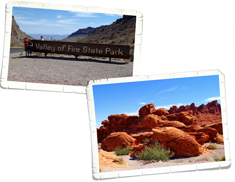
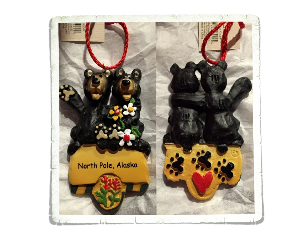
Grand Canyon National Park
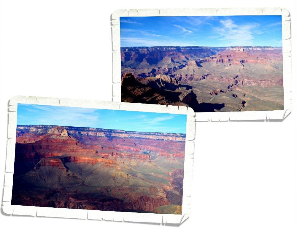
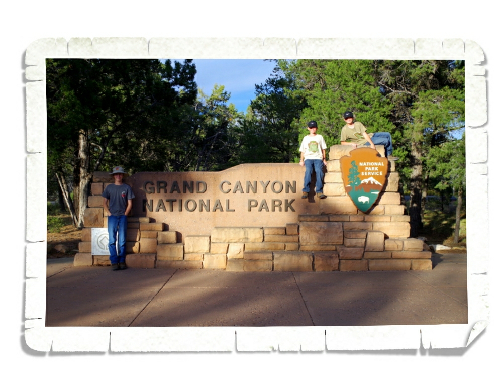 The Grand Canyon measures 277 miles long, up to 18 miles wide and more than one mile deep. That’s big! We spent a week exploring what Theodore Roosevelt declared as “the one great sight which every American should see.”
The Grand Canyon is split in to the North Rim and the South Rim. We only visited the South Rim on this visit.
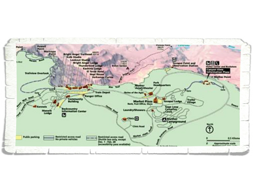
Before we get into what we did, let me explain how the GCNP is laid out. The GCNP South Rim is basically split up into two parts. On the east side, you have the Desert View Drive that you can use your own vehicle to get around (except for Yaki Point and the South Kaibab Trailhead). The west side is where you’ll find the Village, Market Plaza, the Visitor Center and some campgrounds and is mainly navigable by shuttle bus. There are a few places you can drive in the Village and Market Plaza, but Hermit Road is shuttle bus only. You can get the gist of it in the map above.
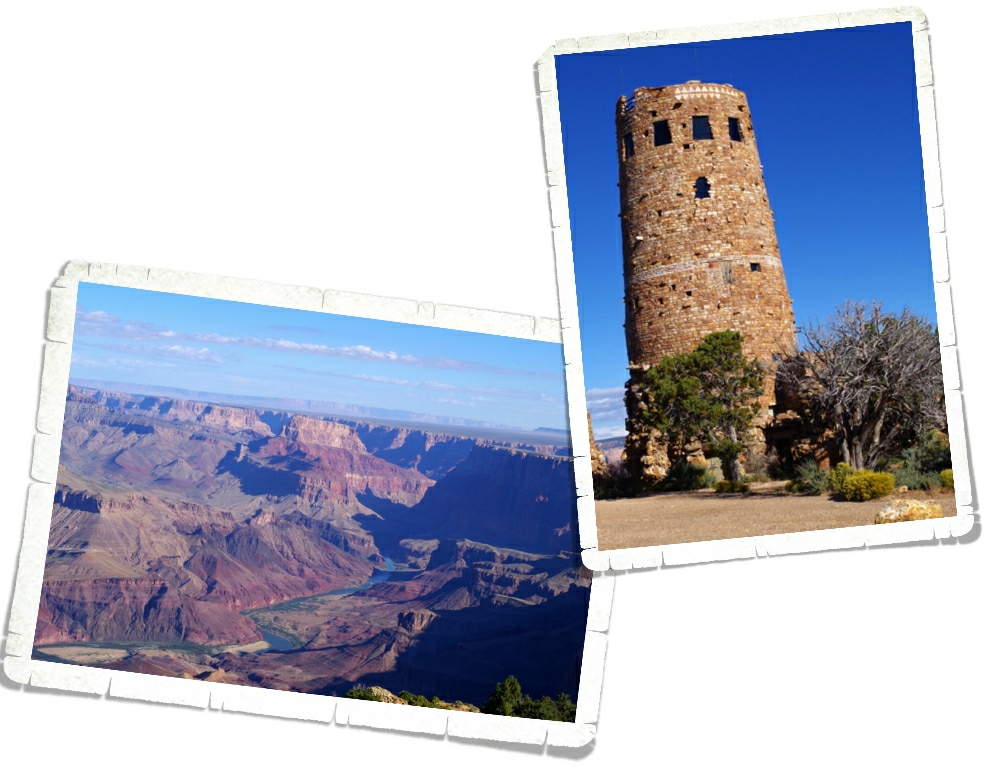
Our first day at the GCNP we decided to check out the east side of the park and the Desert View Drive where we headed out to the Desert View Watchtower. It was built in 1932 and looks old, but it was designed to look that way so it would add to the ambiance of the Grand Canyon experience. The view off of the balcony of the Watchtower gives you a great view of the Colorado River snaking it’s way through the canyon.
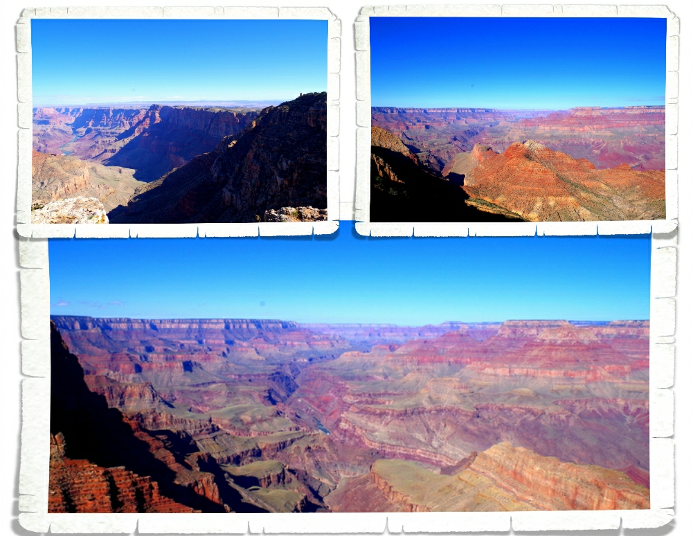
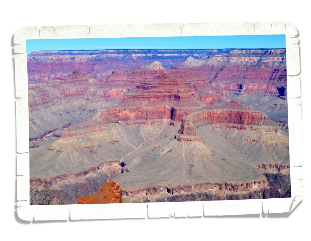
There’s really not a bad view anywhere at the GCNP. The thing is…all of the view point stops kind of run together after a while. The view changes so subtly that it kind of blends together. I do really love the colors here!
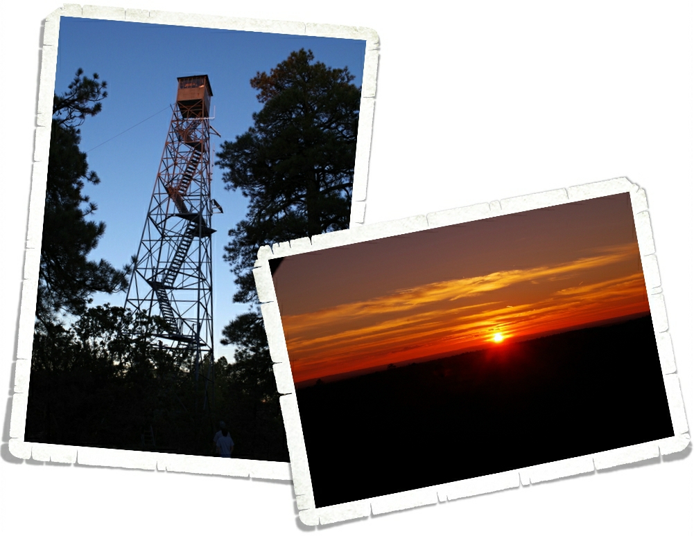
We’re going to let y’all in on a secret place that not many people know about. Ok, it’s not really a secret…but not many people know about it. This is the Grandview Watchtower. It’s not in the GCNP but it’s right on the edge in the Kiabab National Forest. We went here right at sunset and had the whole place to ourselves. The view was spectacular! We could see some of the canyon, but the coolest part was the way the forest seemed to stretch out forever.
On the west side of the park it’s best if you arrive early and secure a parking spot then utilize the free shuttle buses for the rest of the day. We spent one full day and hit everything we wanted to see on the west side. It’s harder to catch a glimpse of the Colorado River on the east side. There are helicopters all over the place. You might even find one in the picture above, if you look close enough. It kind of gives you some perspective on how big the Grand Canyon is.
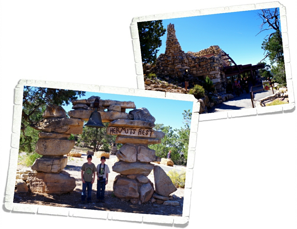
We rode the shuttle all the way to Hermits Rest and the end of the road. Inside the Hermits Rest building you’ll find a curio shop along with a snack shop. This is also where you’ll find the Hermit Trailhead. It’s one of the steepest, most strenuous trails and they warn everyone that it will take around nine hours to make the seven mile hike…if you’re in decent shape. We walked around the area and took in the views, but had no interest in attempting the hike.
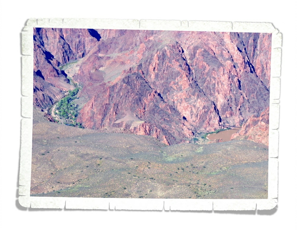
Just outside of the Yavapai Point Geology Museum, you can actually see one of only two bridges that cross the Colorado River in GCNP for the hikers who brave the trails. You can also see Phantom Ranch. In the picture above, on the right side you can see the bridge and then on the left side in that green spot, is the Phantom Ranch. Phantom Ranch is a place for hikers to stay overnight on the canyon floor in a lodge. You can get hot, fresh food and a shower before sleeping in an actual bed. You can, of course, bring your own tent and food. Reservations are a must and fill up quickly for each year.
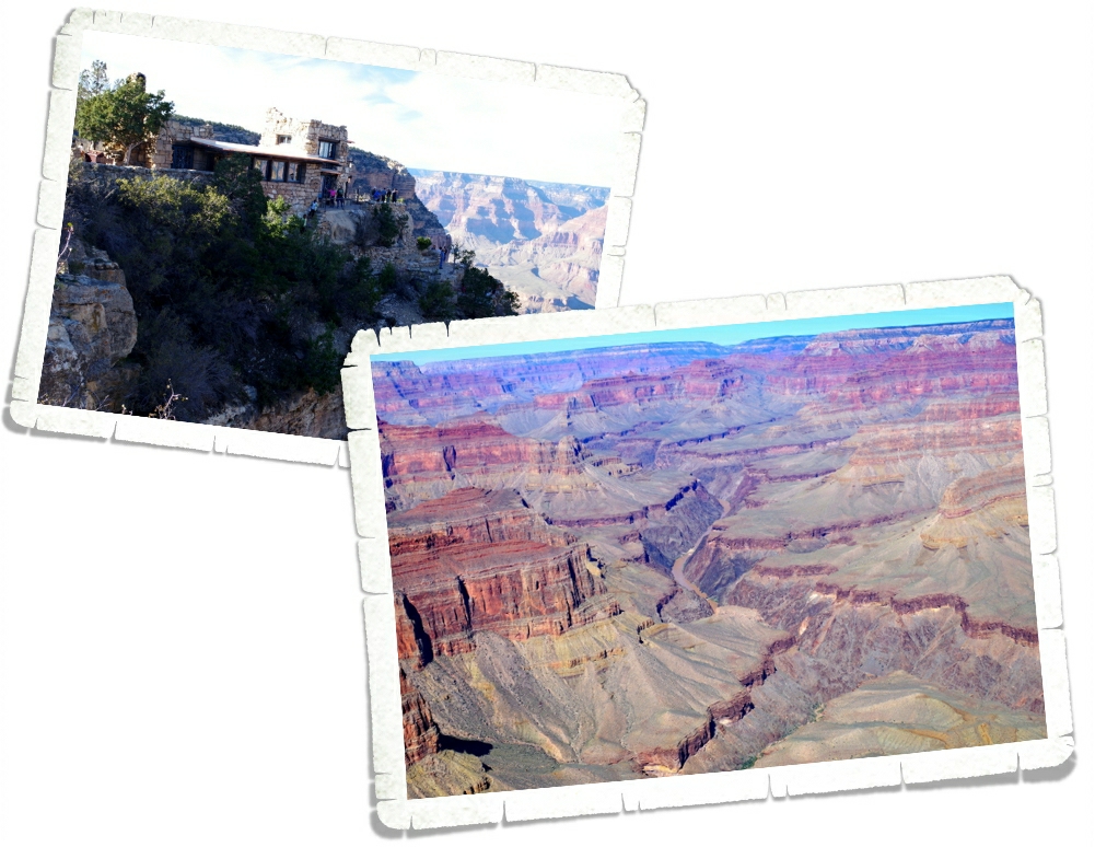
One of the neatest places you’ll find on the east side is The Lookout. It was built right on the side of the canyon and offers a great view.
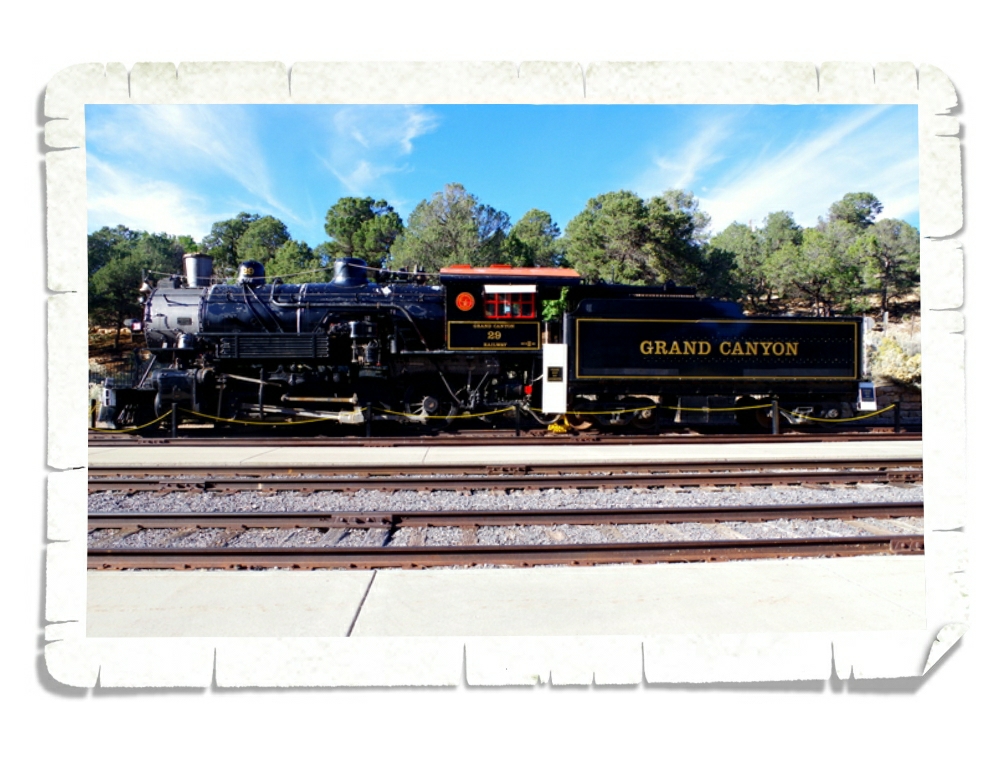
You can also stay in the nearby town of Williams, AZ and ride the train into the park. For almost a quarter of a century, the railroad provided the most comfortable way to get to the Grand Canyon. Built in 1901, the Grand Canyon Railroad Depot is still in use today and is right in the middle of the Village where passengers can find lodging and shuttle buses.
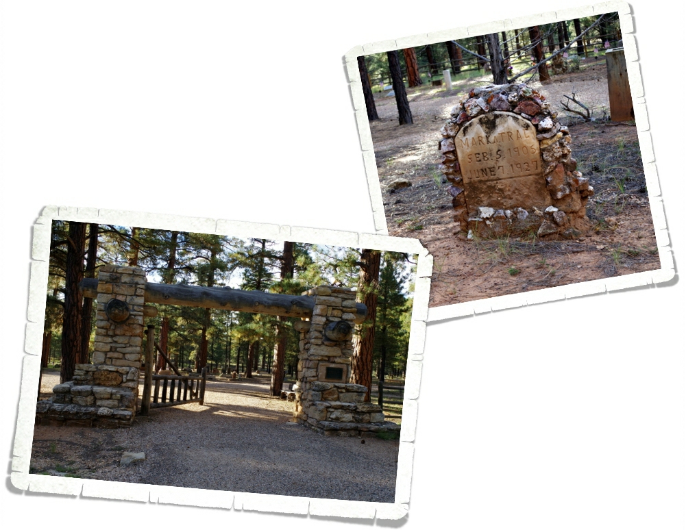
Did you know there’s a cemetery at the GCNP? I didn’t. We heard about it from one of the shuttle bus drivers and went to check it out. I thought there would only be really old graves like the one in the picture above. Rustic and old. But there were some newer graves too. We walked through to look at some of the more unique tombstones.
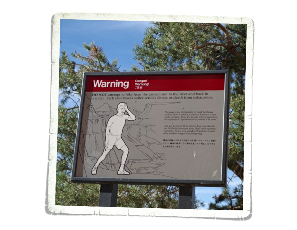
There are five hiking trails at the South Rim. Only five. Now, of these five, four are considered to be strenuous and two of those four are so long they warn you about trying to do the trail all in one day. The South Kaibab and the Bright Angel trails are the two trails that will take you all the way into the canyon to the river. For us, hiking some of the trails in a park is kind of a must so, we hiked part of three of the trails. Fun Fact…more than 250 people are rescued from the canyon each year because they over estimate how in shape they are and under estimate how long it will take them to hike back out of the canyon. If you decide to hike there, know your limits and plan accordingly.
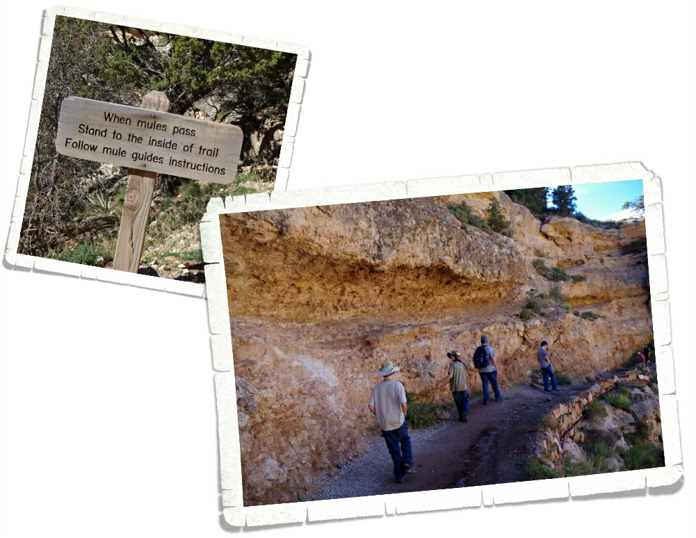
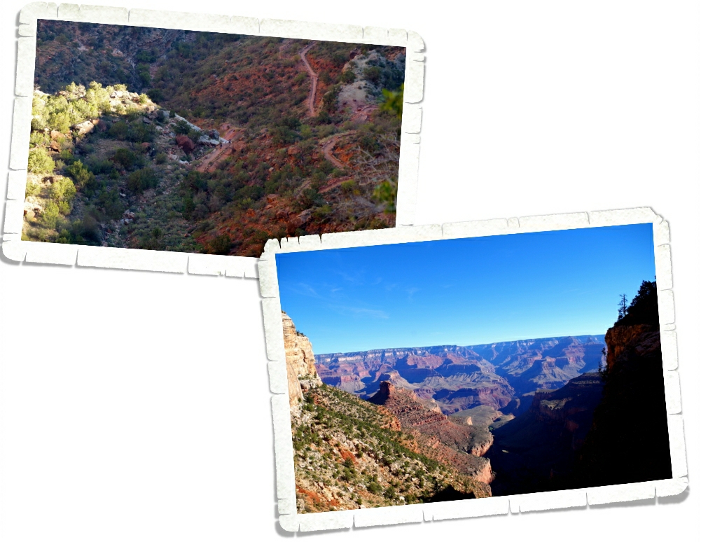
The first trail we hiked was the South Kiabab Trail. We did this one in the afternoon when it was the hottest part of the day, but that’s when we had time to do it and we didn’t want to miss out. Pretty early on the trail we found this sign. We already knew mules used the trail from the…smell. Some parts of the trail were worse than others. The boys thought they were going to pass out from the stench of all of the poo left behind by the mules. It was pretty ripe.
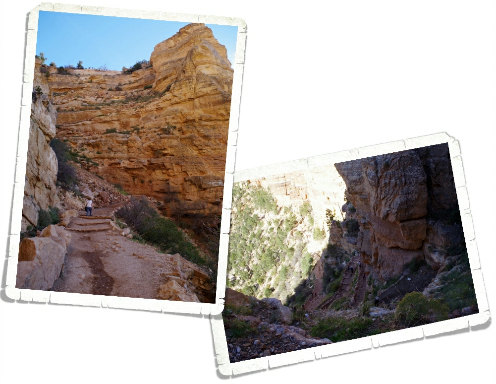
South Kiabab Trail is the most direct route to the canyon floor. Do you know what that means? It’s steep and strenuous. For me this trail was harder than Bright Angel because of the way the trail was laid out with all of these steep “steps”. You can see a few of the more gradual steps in the pictures above.
To be fair…the trail wasn’t all like that. Some of it was nice and smooth with a more gradual incline.
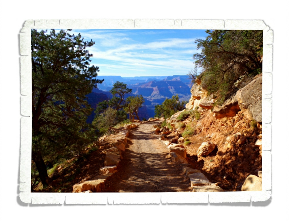
We only went to Ooh-Aah Point which is about a two mile round trip hike. At the point, you can walk out onto some rocks to get to the view. It was a great view! It only took us about a half an hour to get there and it was worth the effort.
It took us an hour to get back out of the canyon. Can you spot the trail in the pictures above? That cliff is the way out. You can see the tiny people walking up the side of the cliff better in the left photo.
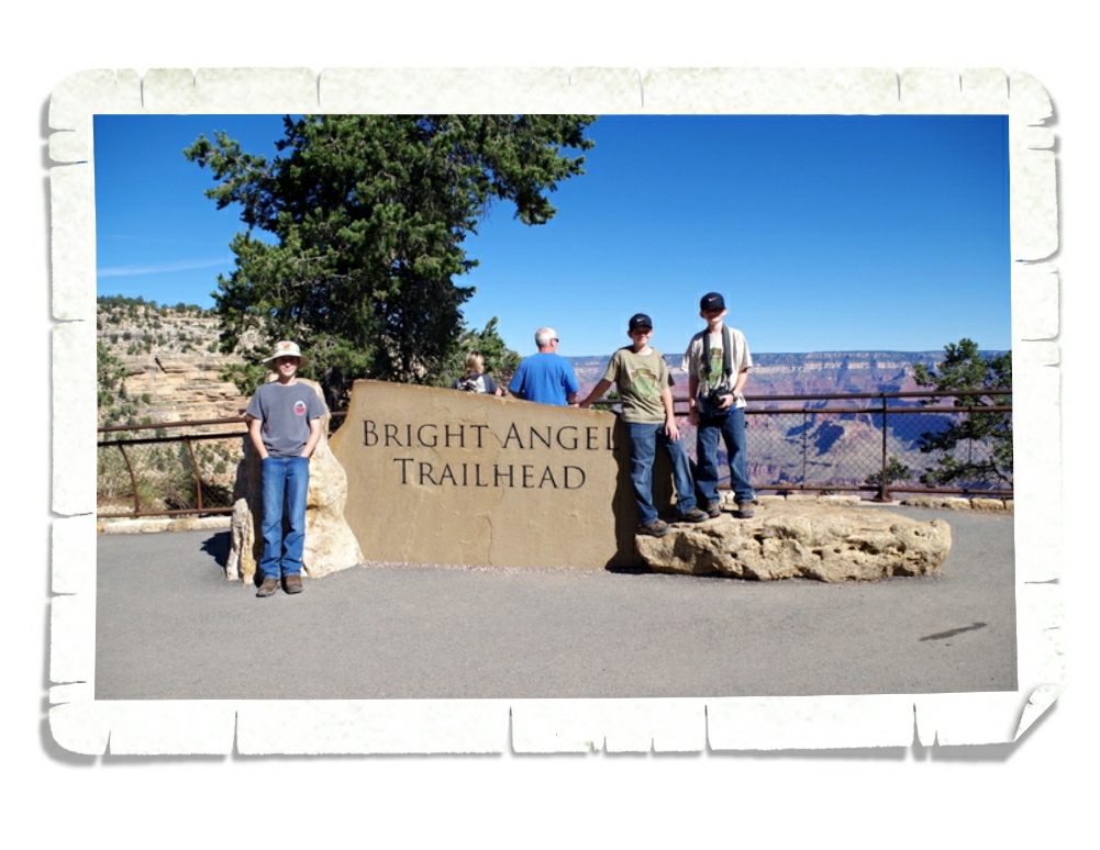
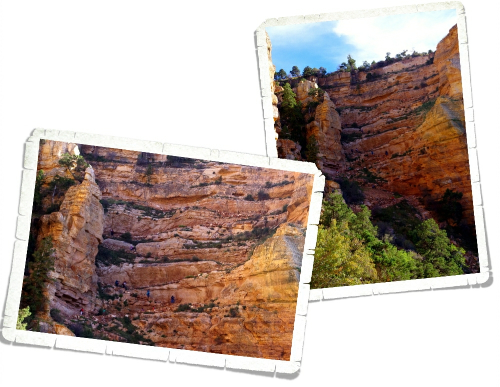
The other big hike we did was Bright Angel Trail. We did this one early in the morning when it was still mostly in the shade and the temps were still low.
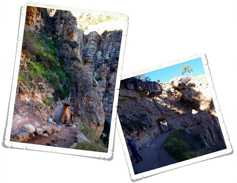
There are two tunnels on Bright Angel. The lower tunnel is as far as we went on Bright Angel. It made for about a two mile round trip hike.
Here’s the view from the lower tunnel. You could see quite a bit of the trail from the lower tunnel. It was mostly in the shade and was more of a smooth, gradual decent.
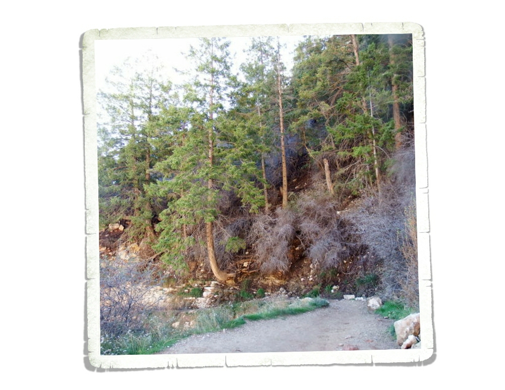
We kept marveling at the way the trees grew out of the side of the canyon wall. Nicholas took this shot on the way back up the Bright Angel Trail.
We were racing the sun to get out of the canyon. We made better time on this trail. I think it only took us a little over an hour to do it. I can see why it’s the Grand Canyon’s most popular trail. We would have liked to have been able to hike more of Bright Angel, but we had an extremely full day planned and we were running out of time to get everything done that we wanted to.
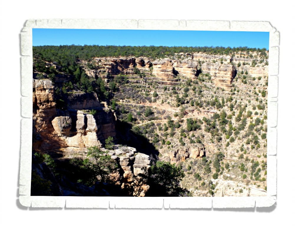
The third trail we hiked was some of the Rim Trail. This trail will take you from the Grand Canyon Village all the way to Hermit’s Rest and is the South Rim’s only above-rim hiking trail. We hiked this trail between Hopi point and Mohave Point (just shy of a mile) instead of waiting for the shuttle bus. It was a nice flat-ish hike that stayed right by the canyon edge. We enjoyed it and if we’d had another full day to spend at the GCNP we would’ve hiked some more of the rim trail.
We also did an Astronomy Ranger Walk. It was one of my favorite things we did while at the GCNP. We met Ranger Mike in front of the Visitor Center at 8PM and he took us on an hour long walk along the rim of the canyon where we saw the brightest, best Milky Way we’ve ever seen. We learned about stars and planets and we got to hear some very cool stories about the park from a Ranger who’s worked there for over twenty years. Ranger Mike had the best laser pointer I’ve ever seen. All of the boys (all four of them) immediately wanted a laser pointer like Ranger Mike’s. I didn’t get any photos of our Astronomy Walk worth sharing but I believe we’ll all remember this experience for the rest of our lives!
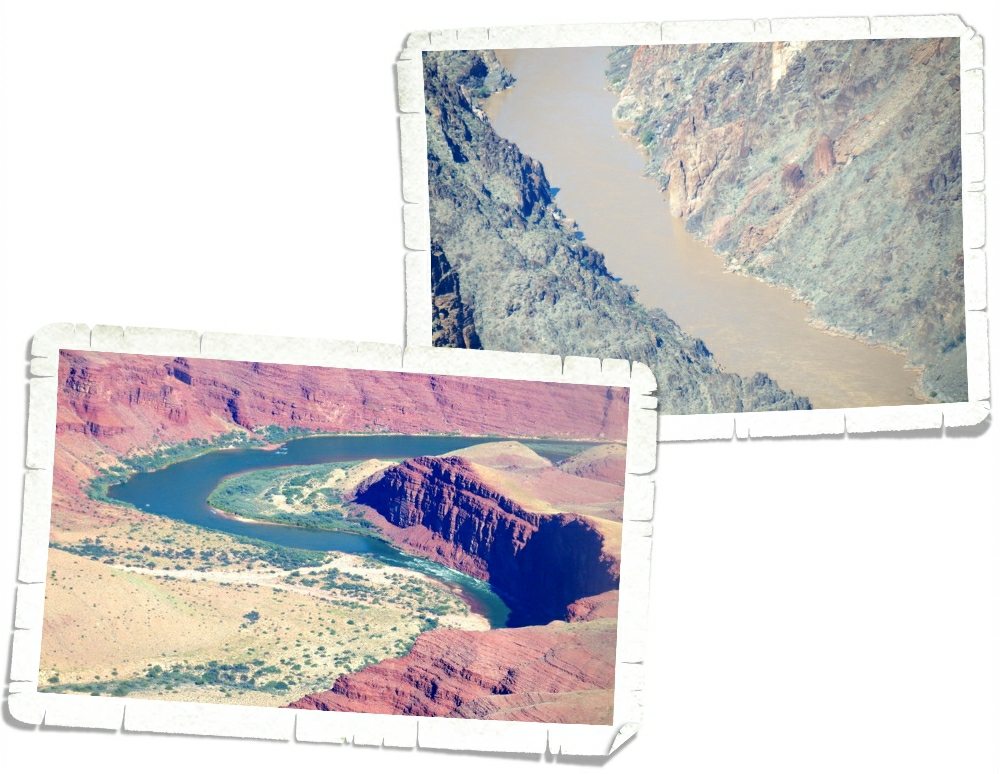
The Colorado River looked very different on the east side than on the west side. In the above left photot you can see the pretty blue water of the east side. And…in the above right photo is the murky, muddy water of the west side. Big difference, right?
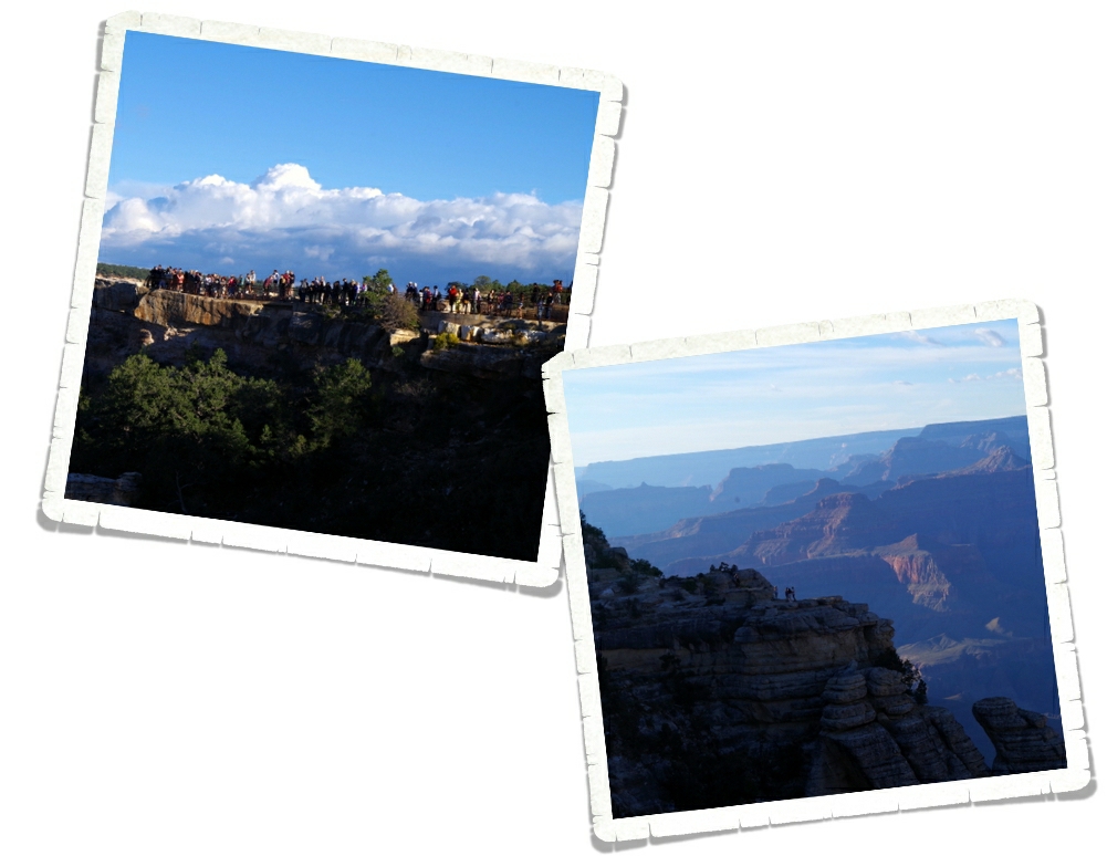
This was the busiest park we’ve been to so far. There were tons of people everywhere. And 90% of them weren’t speaking English. Maybe that’s just an off season thing? So many of the people we saw were climbing out as far as they could to the edge of the canyon for a selfie. I’m really surprised we didn’t see anyone fall.
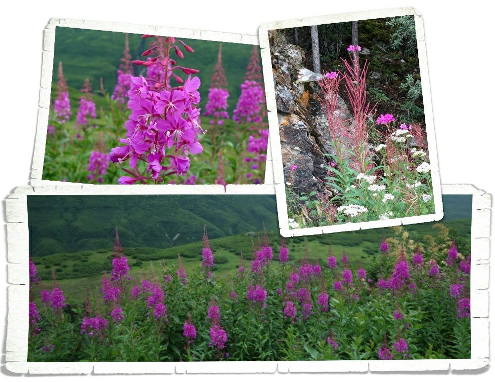
Y’all know how I am about flowers…
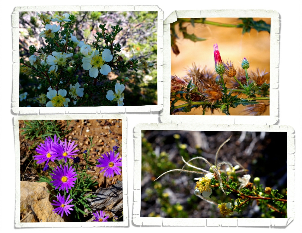
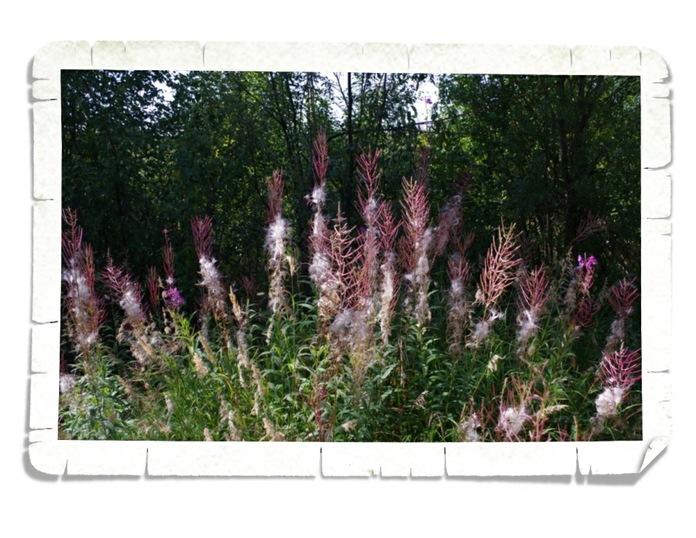
I realize they’re weeds, but I couldn’t pass up the bright purple. In the top left and the bottom right are Mexican Cliffroses. The Mexican Cliffrose does something very different when it goes to seed. Check out those feathery seeds in the bottom right photo! So cool! I realize the pretty in the top right photo is a thistle and is considered a weed, but I really liked the bright pink of the bud with the brown and all of those thorns.
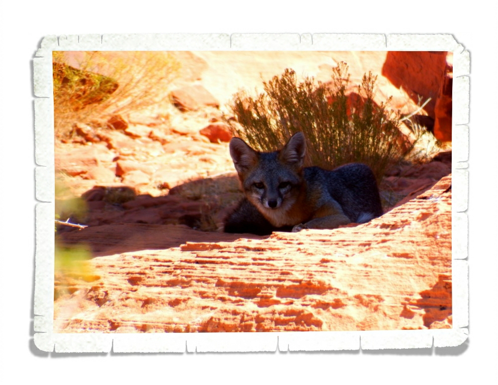
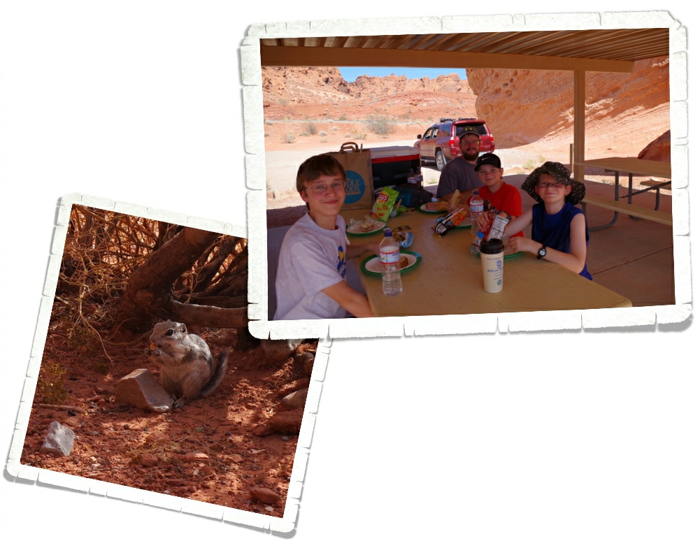
We saw tons of wildlife at GCNP. Alex is going to start doing Wildlife Watch posts every so often so I’ll let him tell you about the wildlife we saw.
The boys ended up with the GCNP badge, a Paleontology badge, and an Astronomy patch. Their National Park collection is growing!
I like to keep it real for y’all so I’m going to be very honest here. The Grand Canyon National Park will probably never be on my top ten list of National Parks. It was big…it had nice views…but it was a lot of the same view for me. We felt like we couldn’t really immerse ourselves in the park. Maybe it was all the hype…maybe we were expecting more? It’s on pretty much everyone’s bucket list for a reason and you should go see it at least once. We do hope to visit the North Rim eventually. We enjoyed the view, but if we ever go back it will be to hike into the canyon and stay overnight at Phantom Ranch before hiking out.
See y’all down the road!