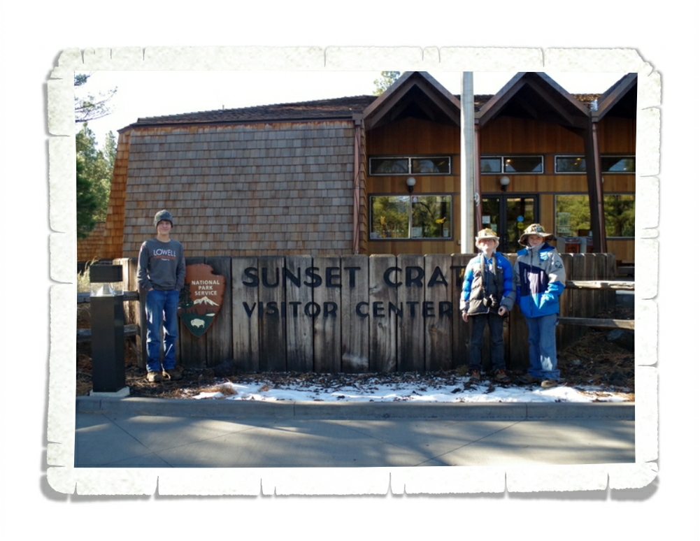
Santa Fe Area Hiking
Hey y’all! We stayed in the Santa Fe area for two weeks and managed to squeeze an amazing amount of adventure into our time there. I’m going to break this area up into two different posts. This first post will be about the hiking we did.
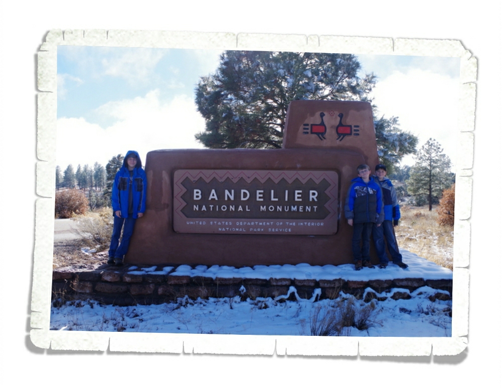
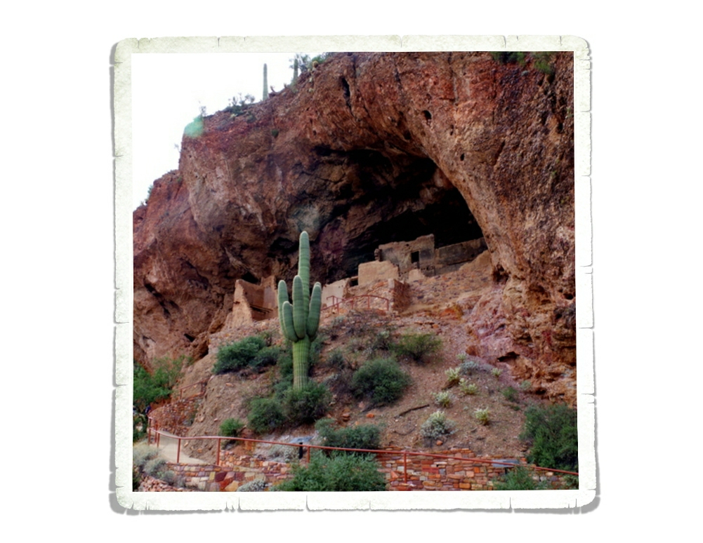
We spent an entire day at Bandelier National Monument! Bandelier is located in the Frijoles (free-HOH-lace) Canyon and the first evidence of habitation goes back 10,000 years.
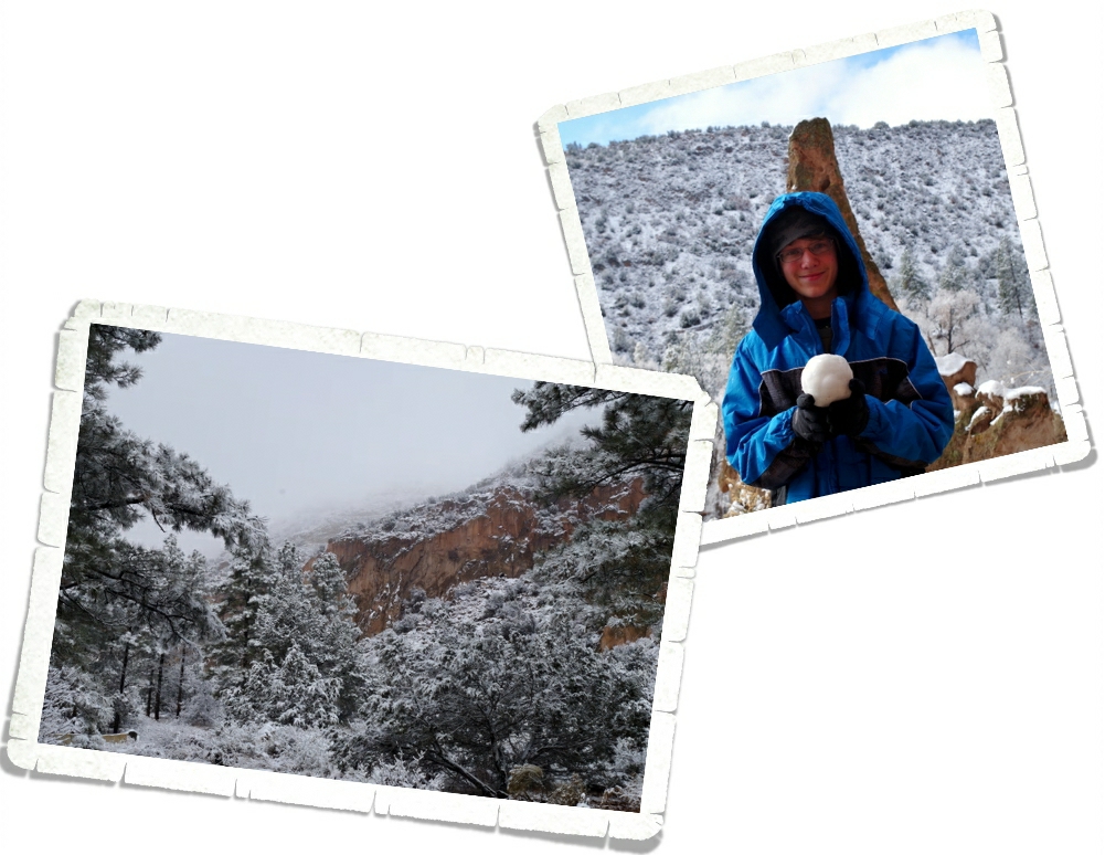
We got to see Bandelier covered in snow and it was beautiful! Bandelier, NM is part of the Pajarito Plateau, which was formed by two separate eruptions of the Jemez (HAY-mess) Volcano more than one million years ago. Each of the two eruptions was six hundred times more powerful than the 1980 eruption of Mount St. Helens. Think about that for a minute. Can you imagine how destructive those eruptions were?
The boys had a great time playing in the snow while we explored Bandelier. It was perfect for snowballs!
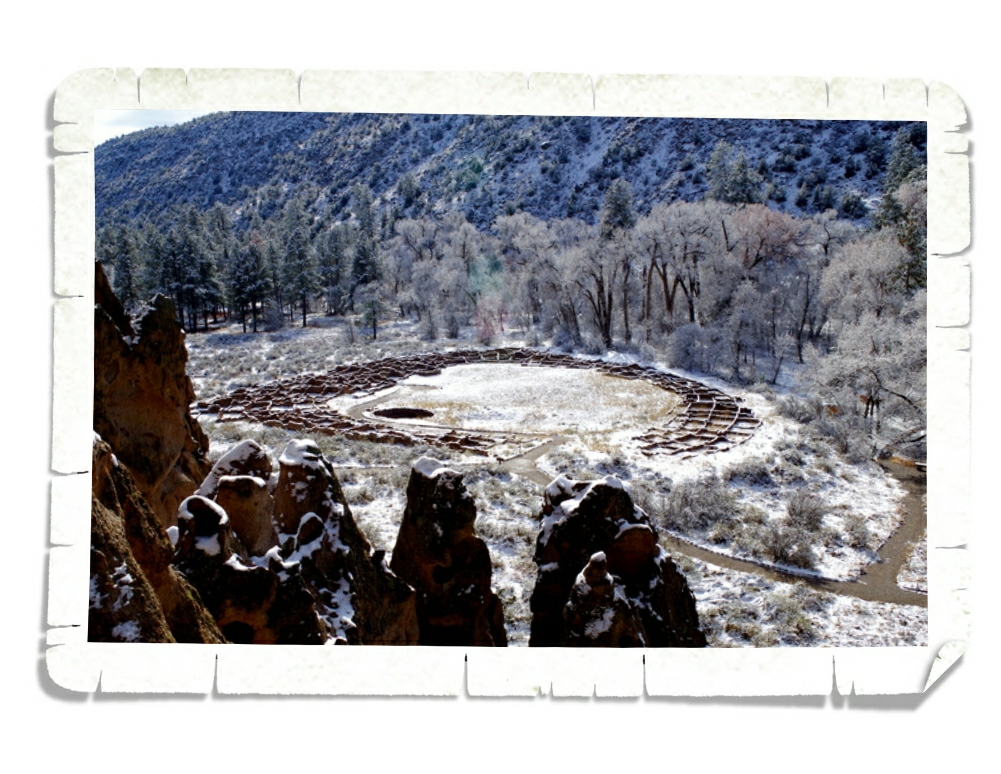
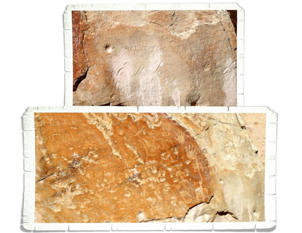
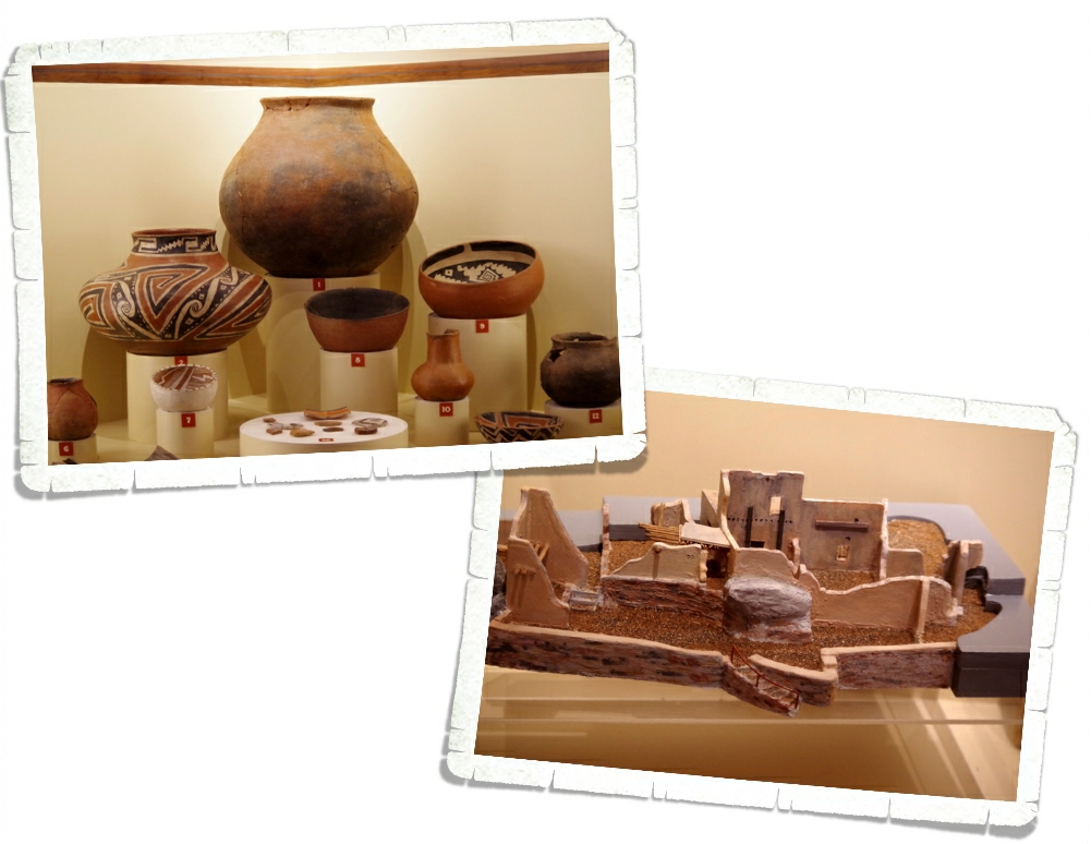
You’re looking at the village of Tyuonyi (QU-weh-nee). This is just one of several large pueblos located in Bandelier National Monument. This one would have been two stories tall, contained about 400 rooms and housed around 100 people. Access to this village was by a singular ground-level opening.
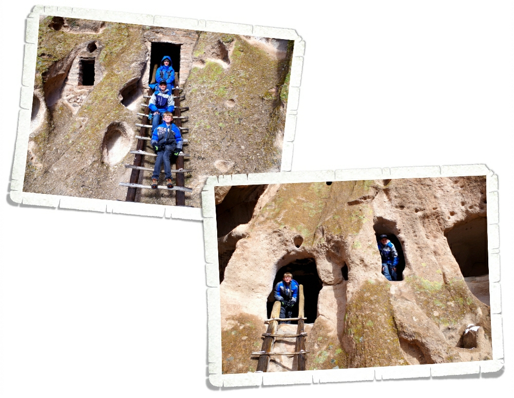
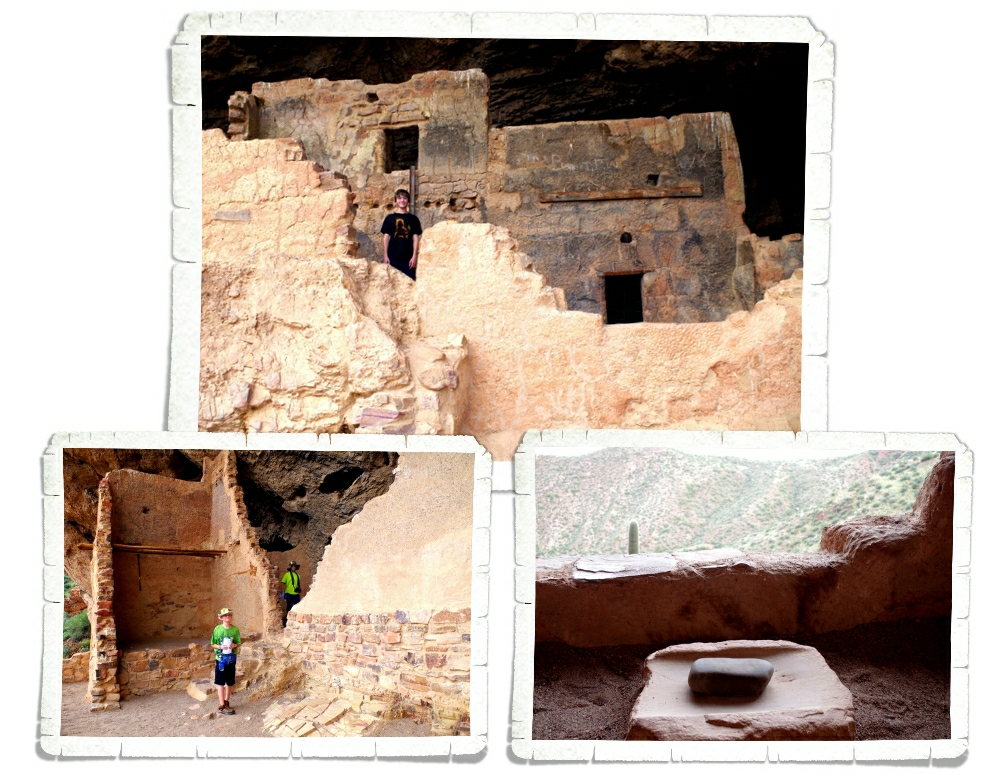
If you’ve been following us along on our journey, you know we’ve gone to quite a few different pueblos. Usually, we don’t get to climb into them. The boys were super excited that at Bandelier, not only do you get to climb the ladders, you get to go inside the pueblo rooms! I managed to get all three kiddos to stop climbing around long enough to snap a picture. The calm didn’t last long before they were off exploring again. Ha!
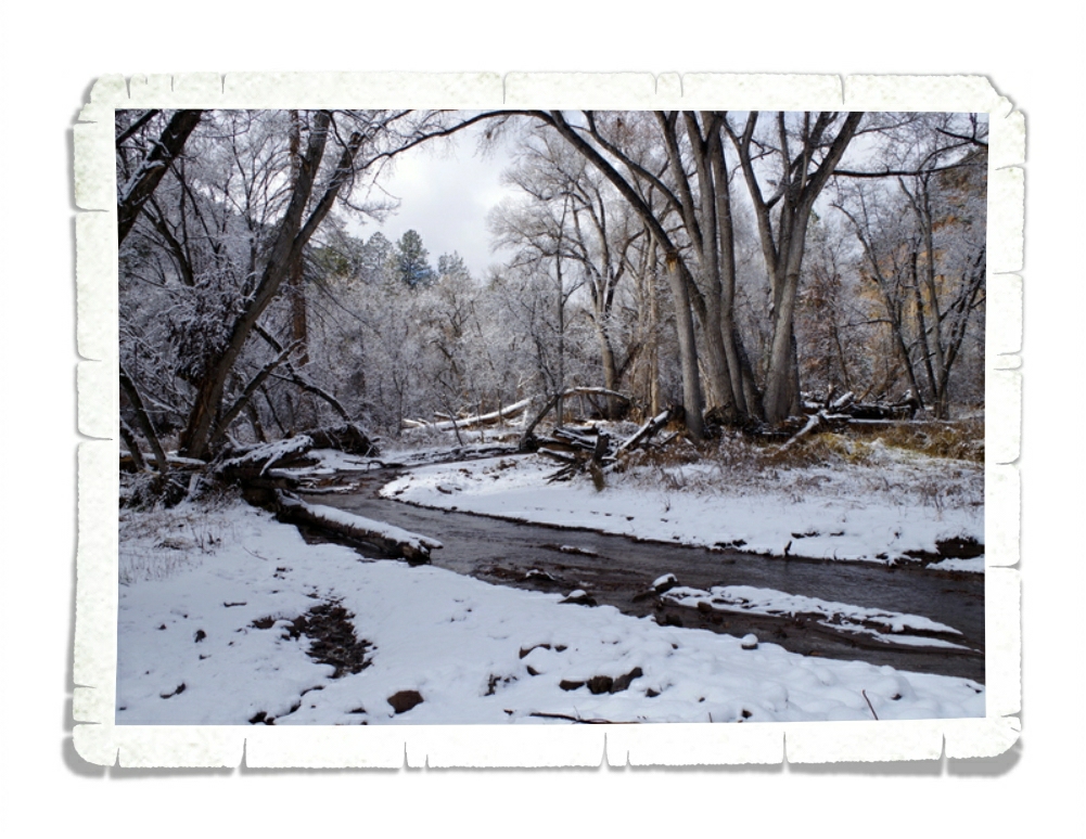
When we got to the park that day we were told the trail to the Alcove House was closed due to icy conditions. We hung out in the Visitor Center while the boys did their Junior Ranger booklets and I asked a couple different Ranger’s about the trail. Before we headed out, we were told we could go ahead and do the Alcove Trail, but to be aware of the ice. The Alcove Trail led us through the woods and across several bridges. It was a wonderful hike through the quiet snowy forest. We loved it!
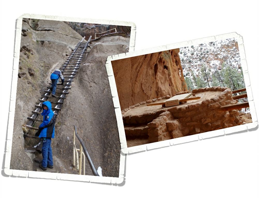
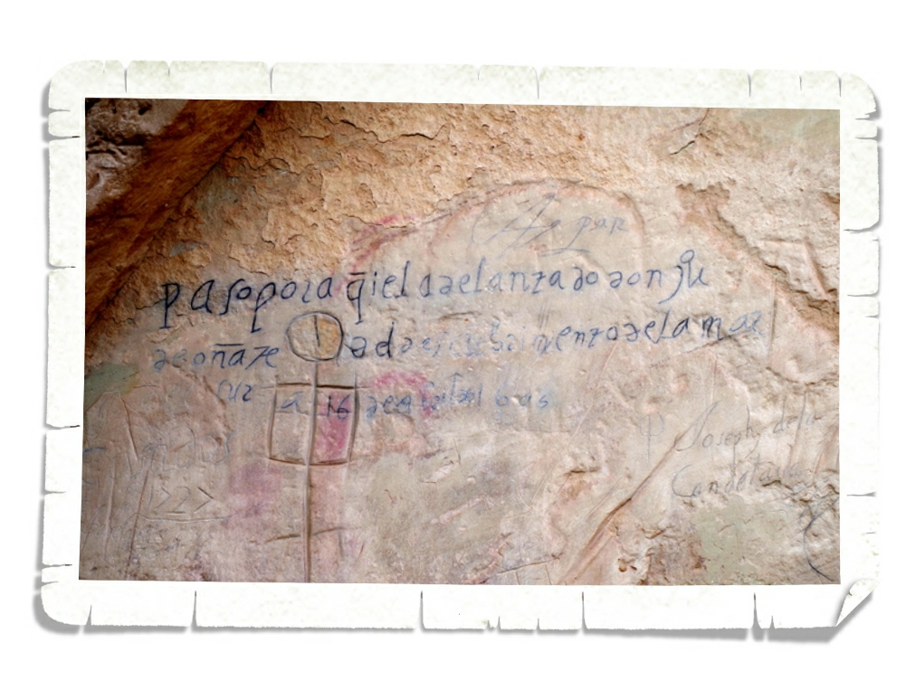
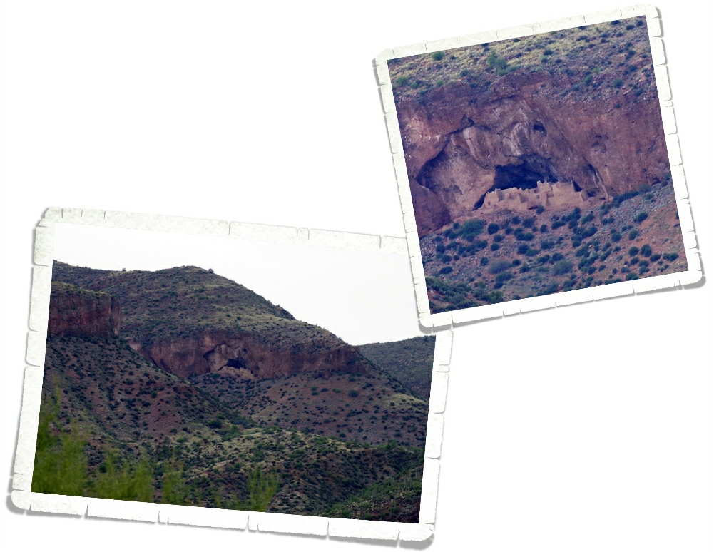
We made it to the Alcove House without trouble and checked out the ladders. They had some ice, but they were in good shape so we climbed up the few very long ladders to ascend 140 ft to the top. At the top is this Kiva (KEE-vah), which was excavated in 1908. They found almost perfectly preserved specimens of red corn and matting. It was all closed up when we got there so we didn’t get to see inside, but it looks like there are times when you can view the inside of it.
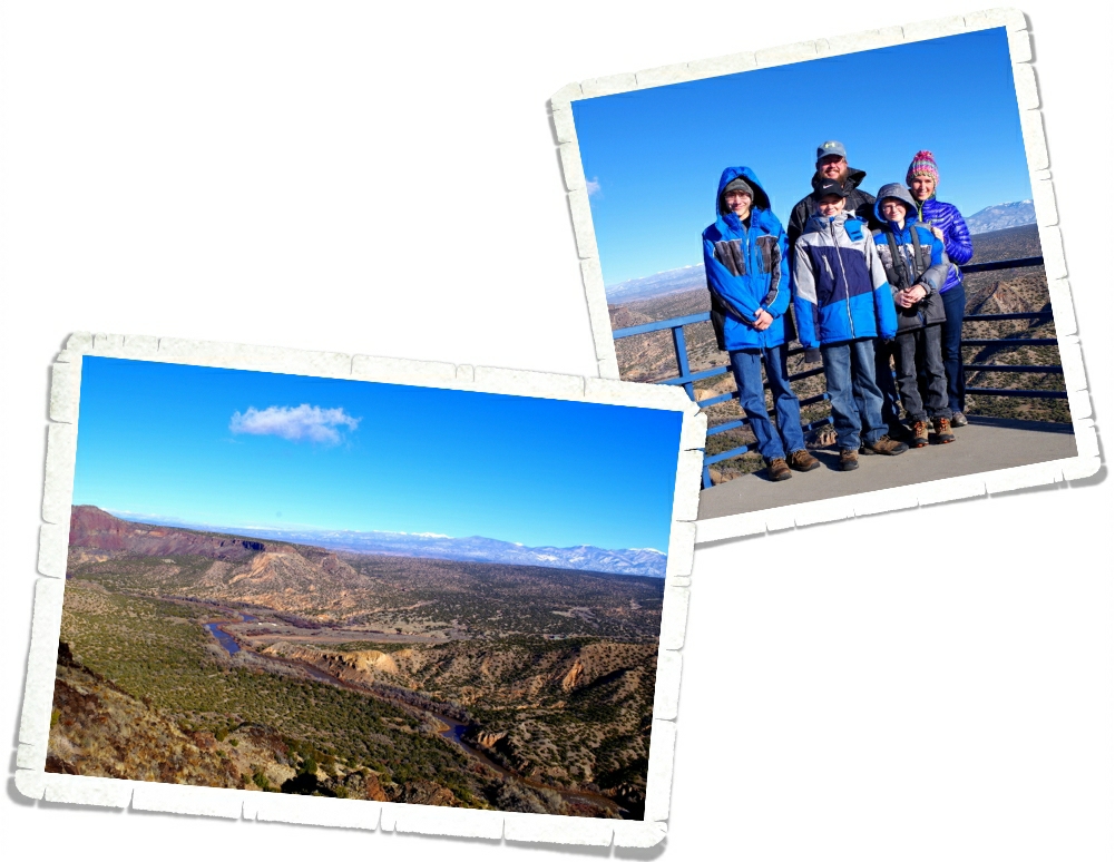
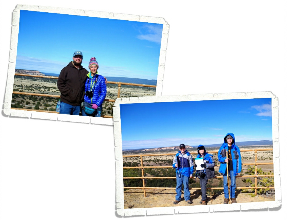
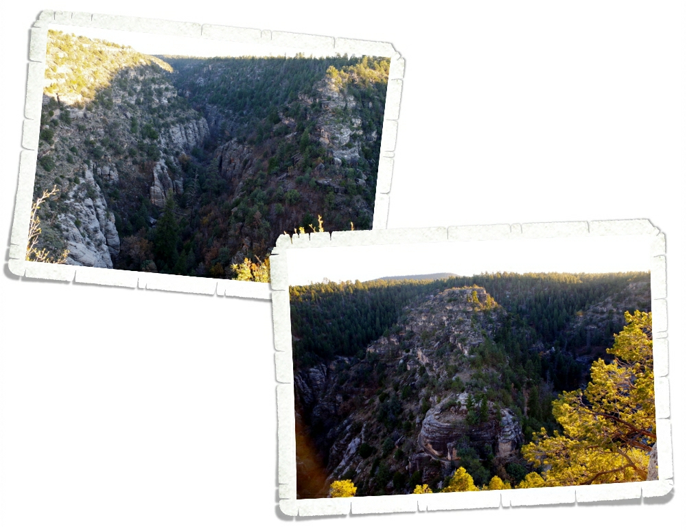
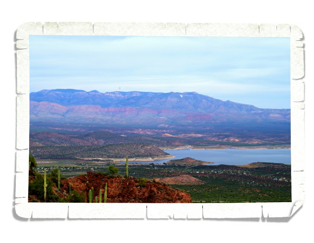
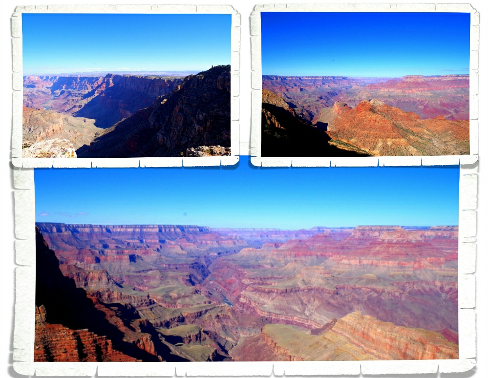
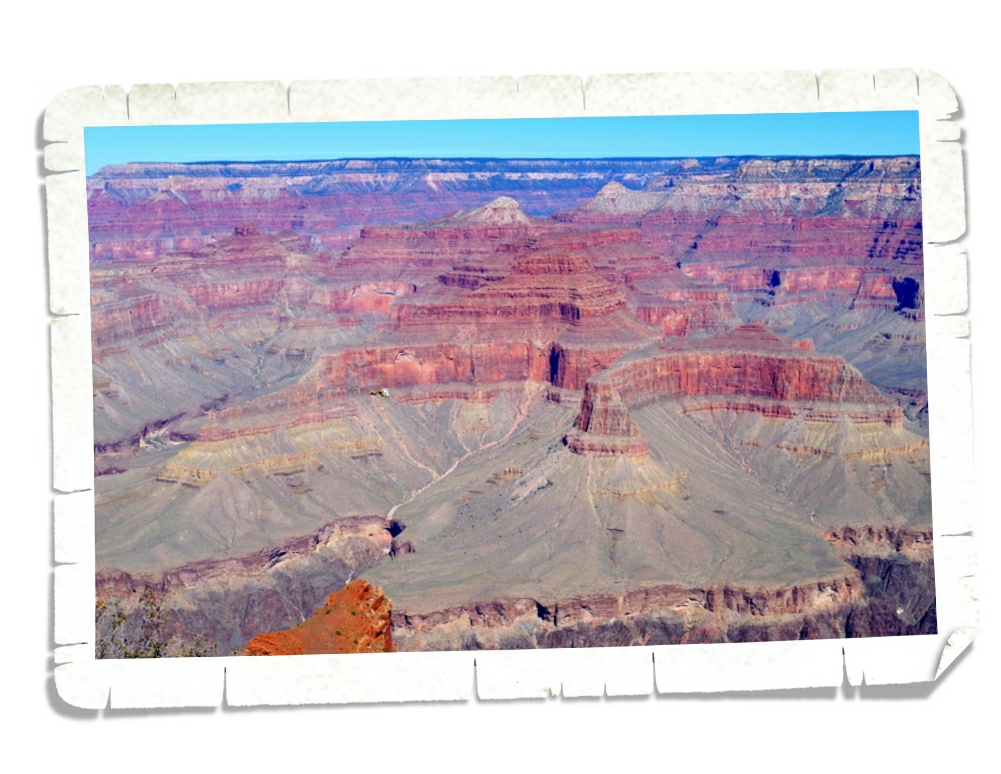
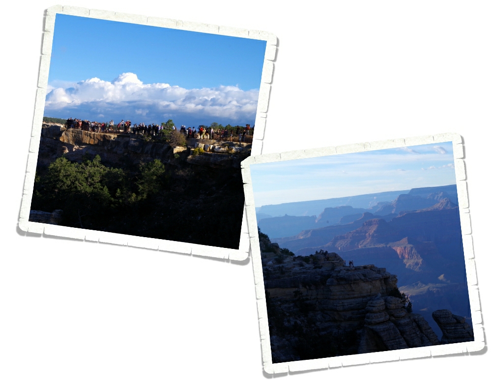
There’s a separate section of Bandelier National Monument you have to drive to. On our way there we stopped at the Whiterock Canyon scenic overlook. The view was stellar! I managed to get a photo of all five of us in front of it! It’s rare to get a photo with all of us in it!
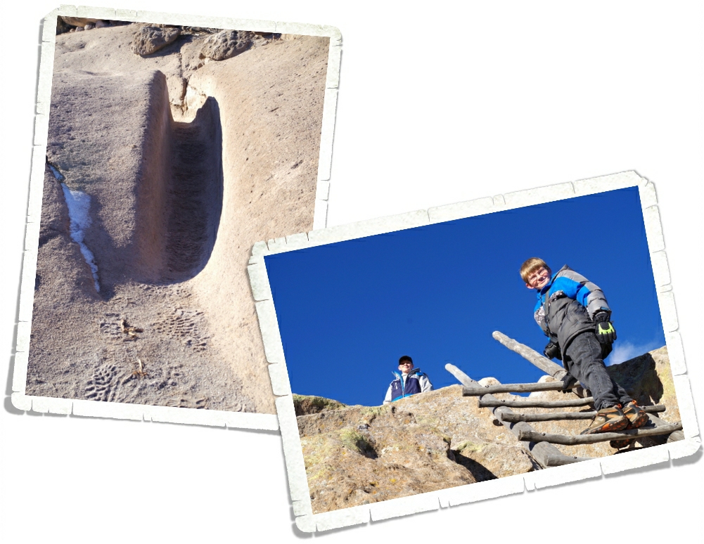
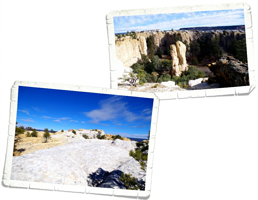
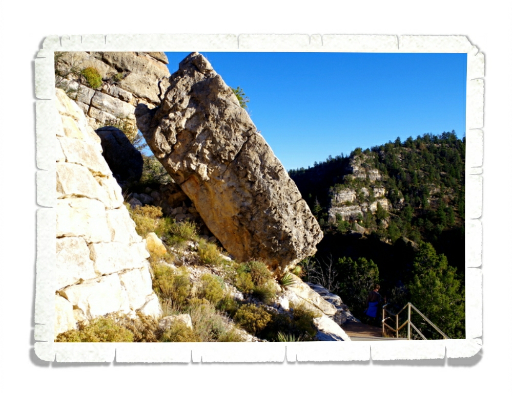
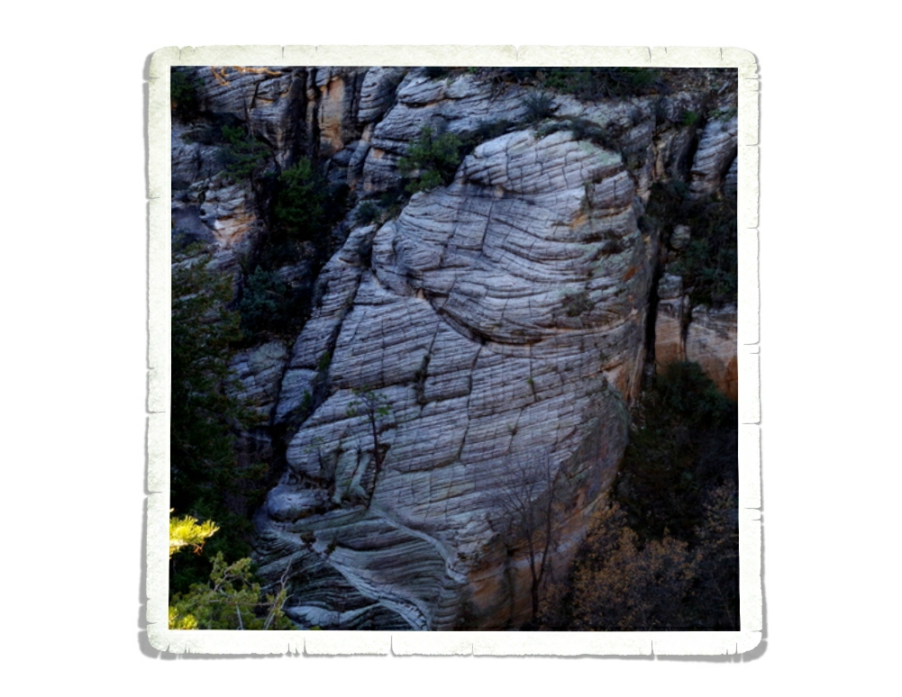
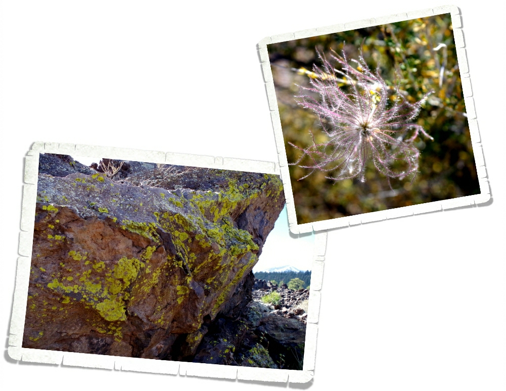
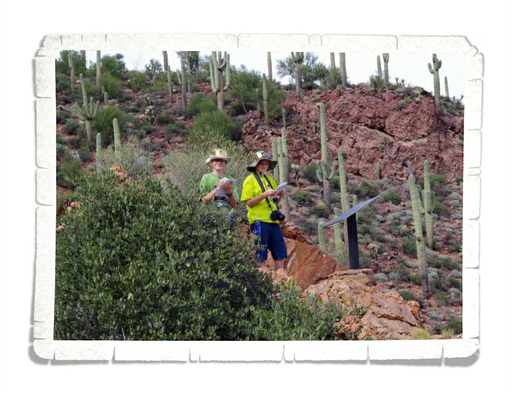
The Tsankawi (sank-ah-WEE) unit of the Bandelier National Monument is just as good as the main unit. It’s a loop trail that takes you up a couple of ladders to a lower and upper cliff. Tsankawi is located on the Pajarito (pa-ha-REE-toe) Plateau and was home to the Ancestral Tewa Pueblo people during the 1400s. When the Jemez Volcano erupted over a million years ago, this land was covered in thick layers of volcanic ash. Over the years, the ash was compacted and formed rock known as tuff. Tuff is a soft stone so it was perfect for the ancient peoples to carve out their homes in. The softness of the rock is also what caused the paths to be worn down. In the left photo above, you can see the path we followed while in Tsankawi. These paths weren’t’ carved out, they were worn down by the 1000s of times people walked the same path.
The view from the upper cliff was fantastic. We took a minute to appreciate it then headed on since we were losing the light.
You can see where people have placed their feet over the years to get back down the ladder.

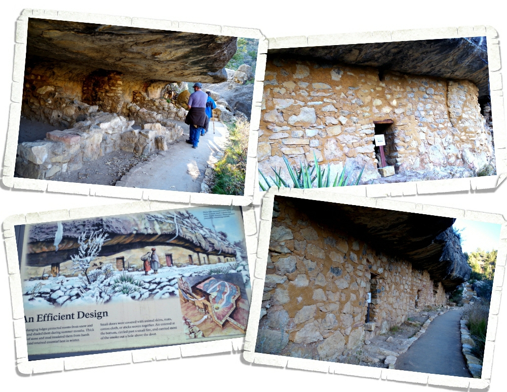
The village of Tsankawi contains about 275 rooms. Some of the structures here were two story. The cave rooms, like the one in the right photo above, is called a cavate (CAVE-eight). These rooms were usually plastered in some kind of mud mixture and painted while the ceilings were blackened by smoke. Smoking the ceilings hardened the volcanic tuff and made the tuff less crumbly. We were climbing down the last ladder as the sun started to disappear. It was a long full day. We highly recommend Bandelier National Monument to anyone who will be in the Santa Fe area!
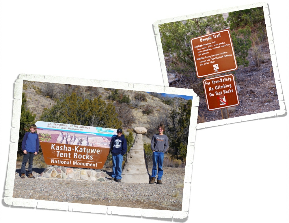
We also had a fantastic day exploring the Kasha-Katuwe Tent Rocks National Monument. While it’s designated a National Monument, the National Park Service doesn’t take care of this park. It’s managed by the Bureau of Land Management. When we started our trip back in May of this year (2015), I would have probably hated this hike. I preferred the nice neat paths. Oh, how times have changed. I’ve come to realize that if you want the big scenic payoff, you have to be willing to work for it. Now, our favorite trails are the ones that are more…primitive…with some scrambling.
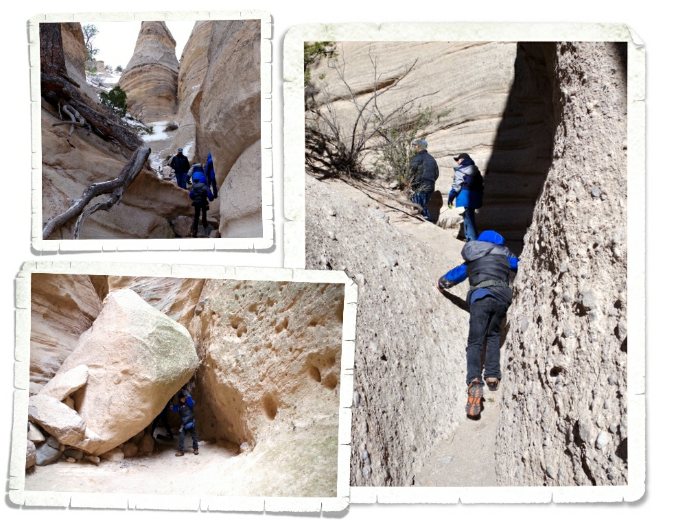
We scrambled over, through, around, and under while we made our way along the trail…it was awesome!

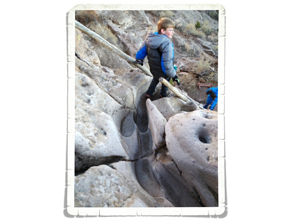
This trail takes you a mile and a half through a slot canyon made out of volcanic tuff and carved from flash floods over the years.
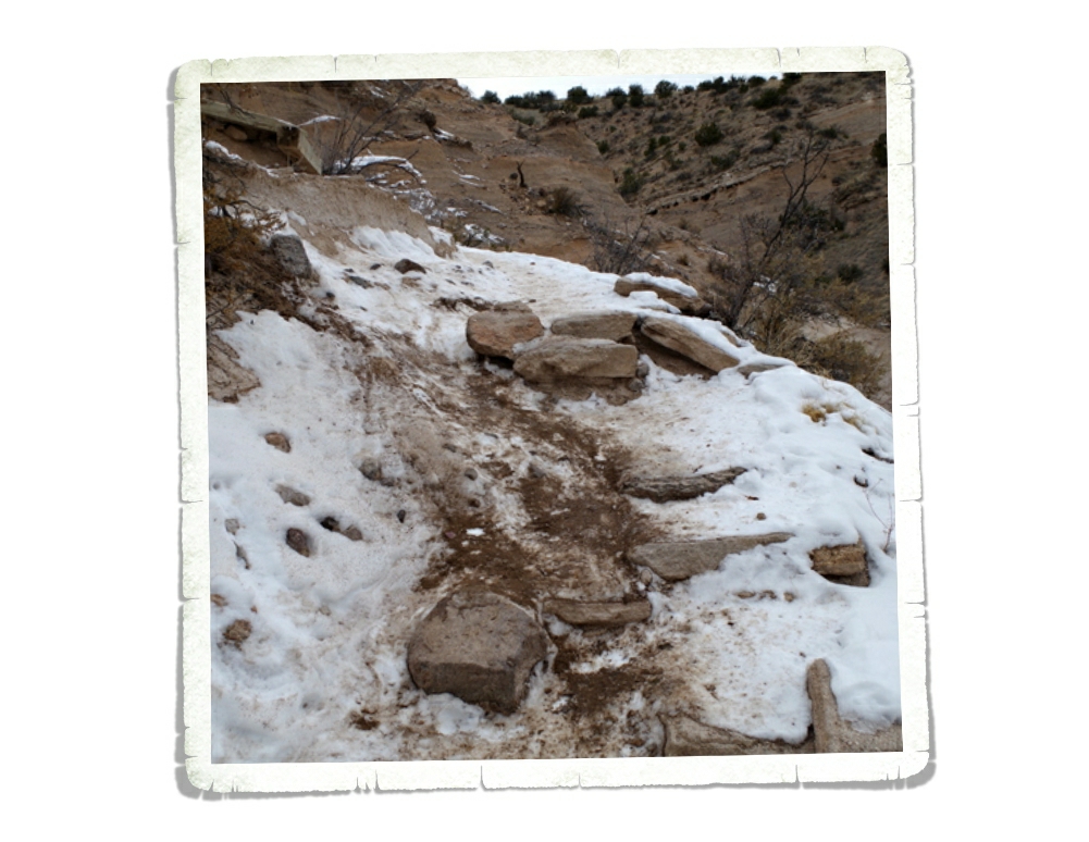
At the end of the slot canyon, the trail climbs a steep 630 feet up to the mesa top. In the photo above, you can see part of the steep climb up…notice it’s covered in snow and ice. It made for a very interesting, very slippery trek.
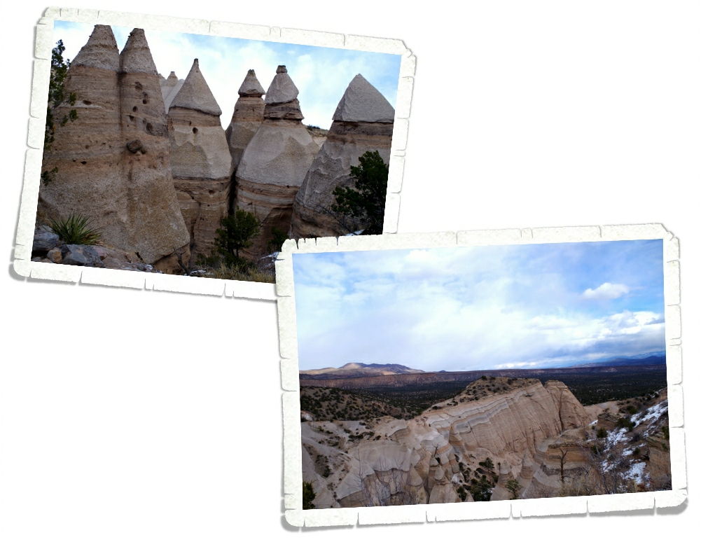
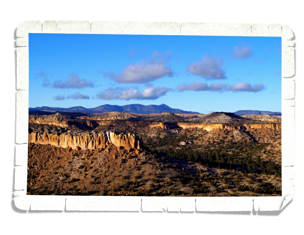
The Kasha-Katuwe Tent Rocks National Monument was designated in 2001 to protect the unique geological landscape known for its light colored, cone shaped tent rock formations that are the result of the big volcanic eruptions we talked about earlier in this post. The tuff, ash, and pumice from the eruptions were over 1,000 feet thick. Here’s the view from the top.
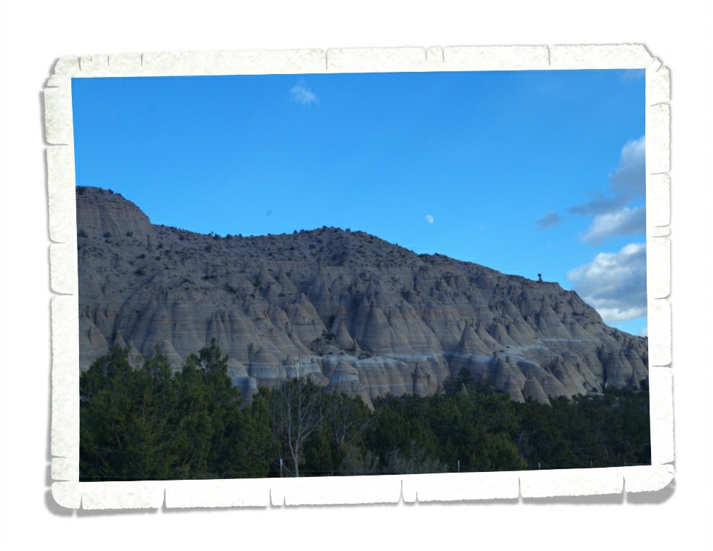
Kasha-Katuwe means “white cliffs” in the traditional Keresan language. You can see in the picture above how they look white.
We had a wonderful time doing a few of the many hikes in the area. We were bummed we didn’t have time to fit more in, but that just gives us a reason to come back to the Santa Fe area again! I think I can safely say that we’ll be back!
See y’all down the road!