Washington
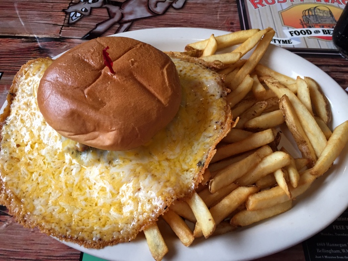
We stayed in Washington for two weeks. We only did two things on our Washington list, but that’s ok…these two weeks were more about catching our breath after the long Alaskan Summer and the super long drive days through Canada to get back to the lower 48. We needed decompression time and we needed to get some maintenance/repairs done on the RV. The first thing we did once we crossed the US/Canadian border (after finding a spot for the night) was get some dinner. I don’t remember what the name of this place was…it was in Lynden, WA and it was good ole’ American food with good ole’ American prices!
I think this burger was called the There Can Never Be Too Much Cheese burger. It was amazingly good. We all got different things to eat, but I didn’t get pictures of anyone’s other than mine…we were too hungry and too tired to think of it.
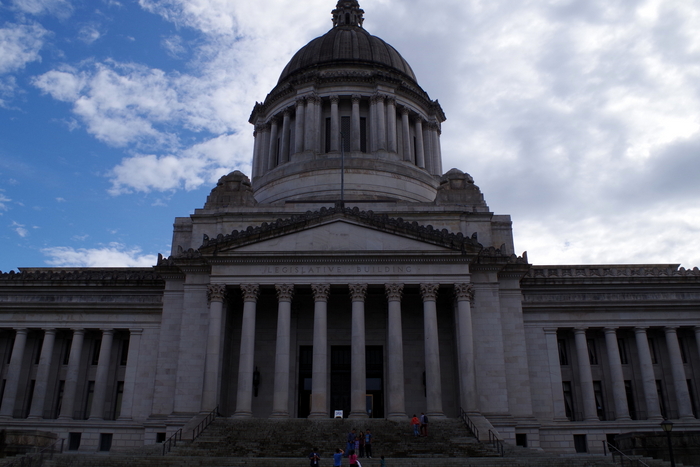
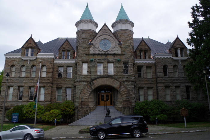
The next day we headed to Olympia to check out the State Capitol Building.
It was very majestic, but then again…I do love the dome buildings with all of the columns.
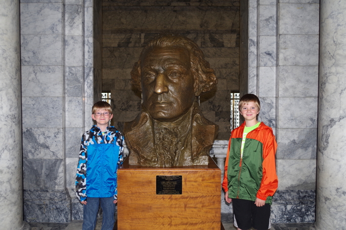
We didn’t know until later that it’s supposed to be good luck to have your picture taken with this bust of Washington. The Little Boys are always up for being my models.
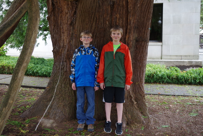
We found this huge tree right next to the Capitol Building.
We found the original Capitol Building called “The Castle”. I believe it’s aptly named.
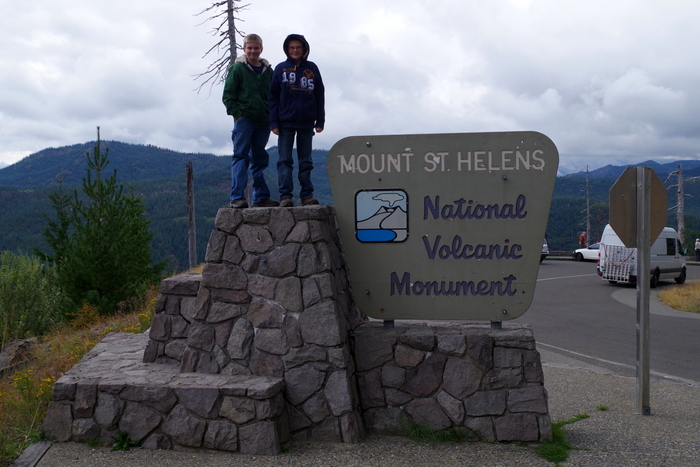
This year (2015) commemorates the 35th Anniversary of the May 18, 1980 eruption of Mount St. Helens. We spent two days exploring Mount St. Helens National Volcanic Monument. There are three sides of the volcano that you can explore and we hit things on all three sides.
The day we did the Johnston Ridge Observatory side of the volcano was rainy and cold.
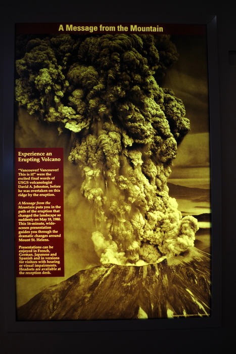
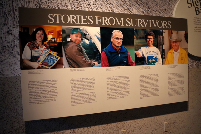
We started with the Forest Learning Center where we got our first real look at what happened the day Mount St. Helens blew her top. The Center had a short video to watch that had actual footage of that day shot by a cameraman who was close to the blast zone but not right in it. We were able to read stories from the survivors.
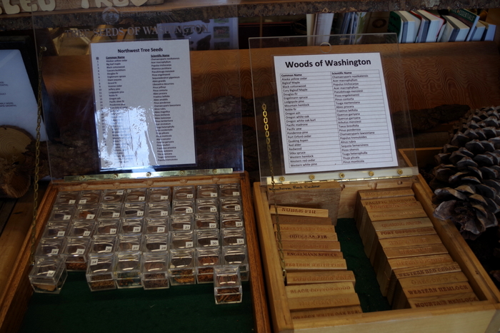
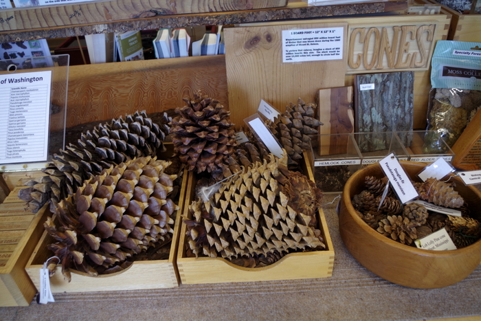
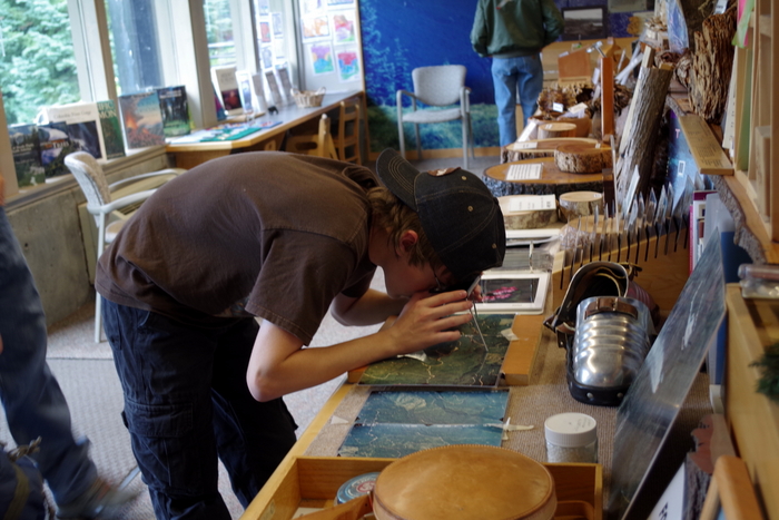
We spent quite a bit of time in the Discovery Room at the Forest Learning Center. I love it when there are things for the kids to pick up. We learned a lot that day about the forests of Washington in general.
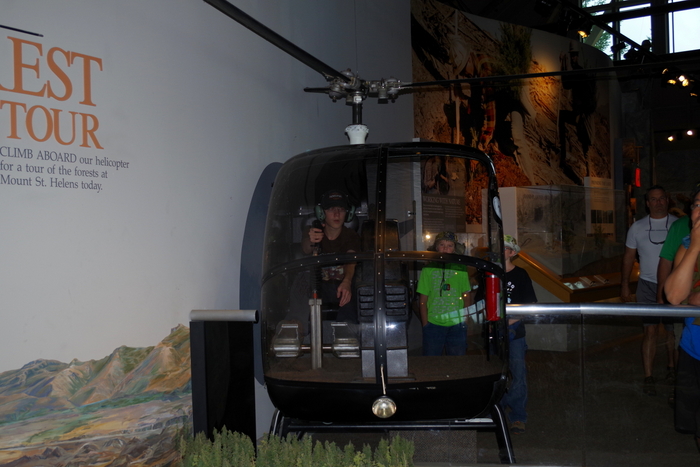
There was an actual helicopter at TFC that the boys could sit in and push all the buttons. They’re expert button pushers…
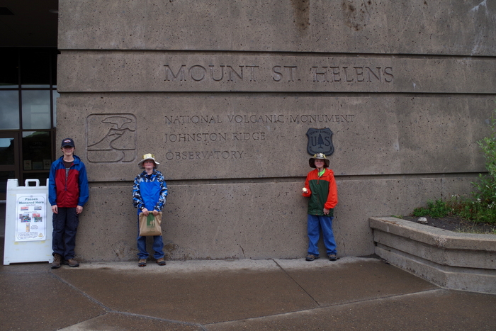
The Johnston Ridge Observatory is at the end of this road. We spent a good deal of time here exploring some of the hiking paths and listening to a Ranger Talk. The boys completed another Junior Ranger Program and got their eleventh badge.
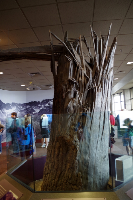
This is an actual tree. They’ve moved it into the Observatory. There’s a plaque that talks about how the force of the blast snapped trees like matchsticks.
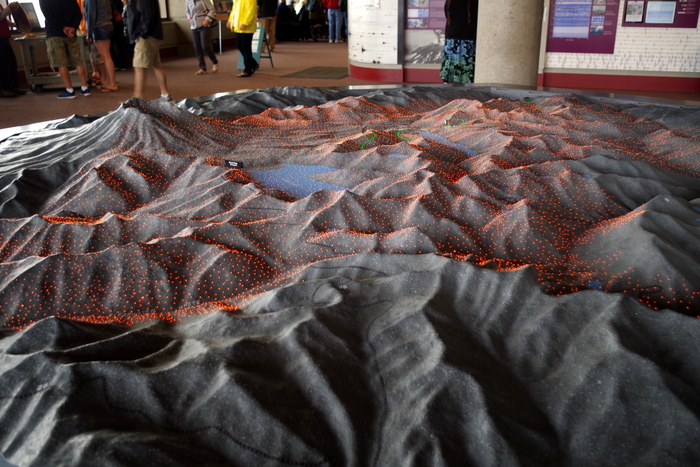
There’s also this really nice 3D model that explains what happened during the May 1980 eruption. There are colored lights that turn on and off as a recording explains the different stages of the blast.
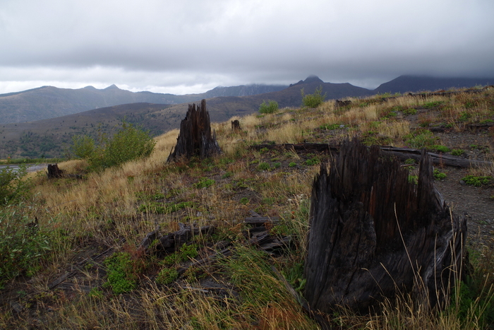
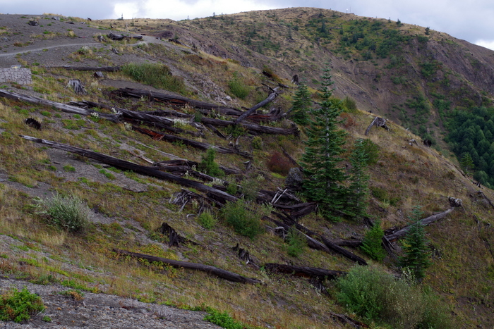
You don’t need a sign to tell you that you’ve entered the blast zone…you can tell. It’s still obvious 35 years later.
The forests around Mount St. Helens National Volcanic Monument were replanted and helped along, but the land within the Monument has been (for the most part) left alone so that scientist can see how nature takes it’s course.
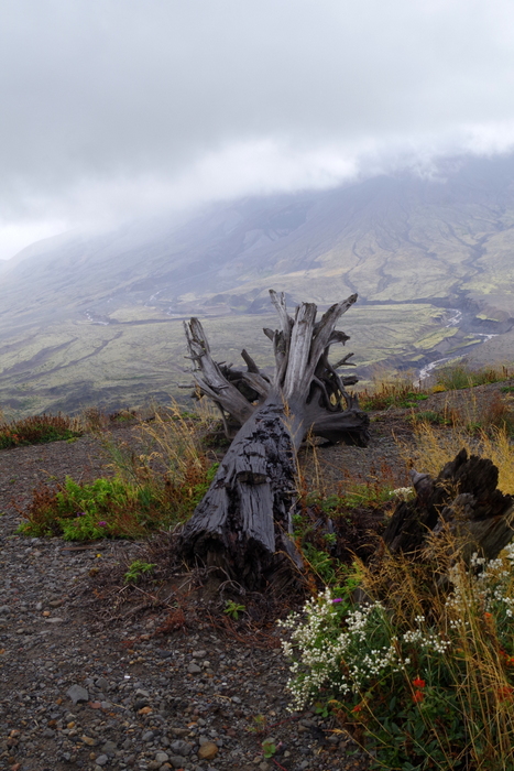
Because of this you can see trees laying right where they fell on that day back in 1980.
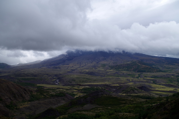
This was the best view we got of Mount St. Helens that day.
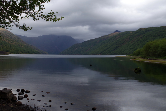
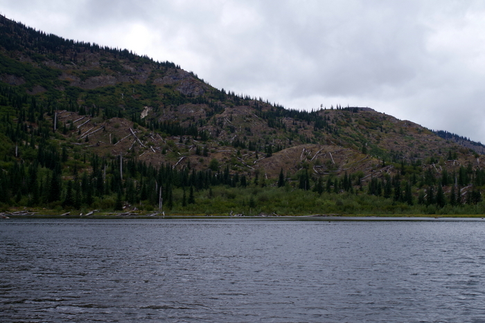
Some lakes, like the one above, were made because of the 1980 eruption.
The next weekend we went to the other two sides of Mount St. Helens. While I enjoyed the Johnston Ridge side, I like the other two sides better. There aren’t any big visitor centers like over at Johnston Ridge, but there are more scenic views and trails with interpretive signs.
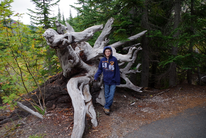
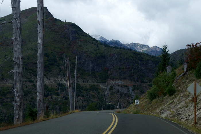 This area is right at the edge of the blast zone. Not all of the trees were knocked over, but all of them were killed by the heat of the blast.
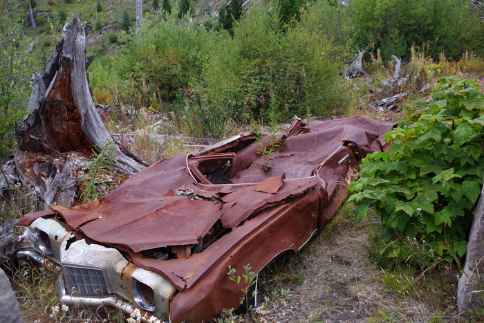
In the photo above you’ll see what they call Miner’s Car. The Pontiac belonged to a family who hiked to the Black Rock copper mine claim, about 8 miles from Mount St. Helens. On the morning of the eruption, Mount St. Helens released a 300 mph lateral blast of searing gas, ash, and rock that flattened the forest and took the lives of the family. The NP leaves the car where it is to remind people of the 57 people who lost their lives.
At the Meta Lake site, there’s a small trail down to the water. All along the trail are reminders of what happened.
Meta Lake was protected by a cover of mushy snow and ice when the blast came. The layer of snow and ice protected the small plants, bugs, and animals burrowed under it and by the next summer signs of life started returning to the mountain.
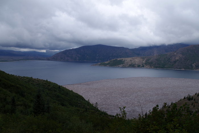
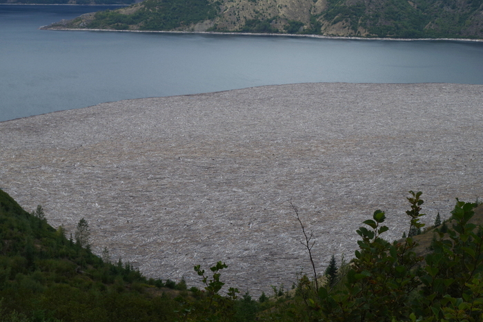
In a matter of seconds, the May 1980 eruption destroyed cabins, camps, and forests. The mud slide that came down the mountain plunged into Spirit Lake (seen above) causing the surface of the water to raise 200 feet and submerge the sites.
With the mudslide came thousands of trees felled by the blast. You can still see them on Spirit Lake. There are signs up warning people not to try to walk on them because they’ll plunge to the bottom.
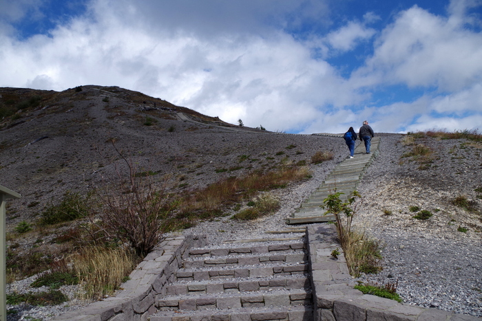
At the Windy Ridge Interpretive Site, you can walk up the nearly 400 stairs (yes, we counted) to get a view of Spirit Lake and the Crater of Mount St. Helens.
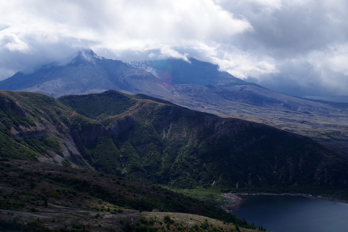
It was cloudy this day too, but we got to see a little of the top and some of the glacier inside.
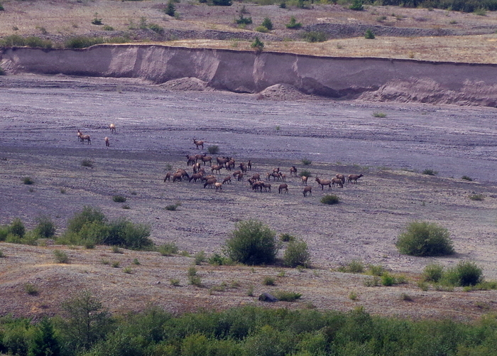
We sat in our car after climbing all of those stairs and had lunch. There was a big herd of Roosevelt Elk to watch while we ate. Elk were one of the first animals to come back to the mountain after the blast.
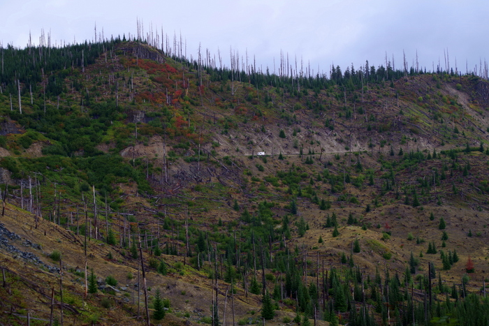
Here’s another picture of the edge of the blast zone and all of the dead trees still standing. If you look really closely toward the middle of the photo above, you can see an RV on the road. It kind of gives you a good idea of the size of the mountain.
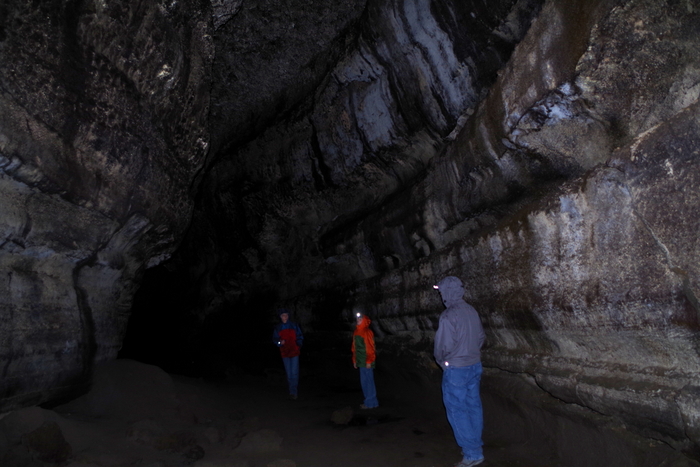
Our next stop was Ape Cave. Ape Cave is a lava tube that was formed about 1,900 years ago. Ape Cave marks an unusual part of Mount St. Helen’s eruptive history. It was the only time in it’s 300,000 year existence the volcano erupted red, hot flowing lava (like what you can see in Hawaii). Mount St. Helen’s lava is thicker and doesn’t run…it’s more of an ooze.
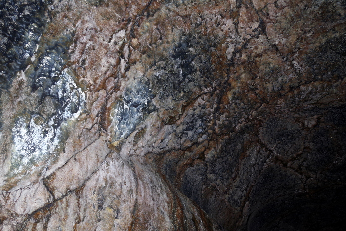
Can you see the white stuff in the picture above? That is mold. Fungus. And it’s apparently really important to the cave. We saw signs not to touch it because it takes a long time to grow back. Ape Cave is the third longest lava tube in North America. It has a constant temp of 42°F and is pitch black. Complete and total darkness. We had planned ahead and brought some flashlights and some headlamps. We saw people walking around with just small dingy lights though. I wouldn’t suggest that…the floor isn’t smooth…it was made from lava and if you fall you can slice your hand open.
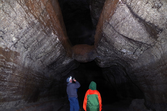
In the photo above, you will see Jerl and Alex looking at “The Meatball”. Yup. The Meatball. What the heck is The Meatball? Well, it a chunk of round lava that fell from the ceiling while lava was still flowing through the cave. The chunk floated on the surface of the lava and was carried downstream until it got wedged in the narrow spot you can see it in today.
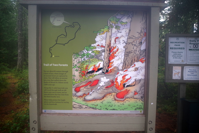
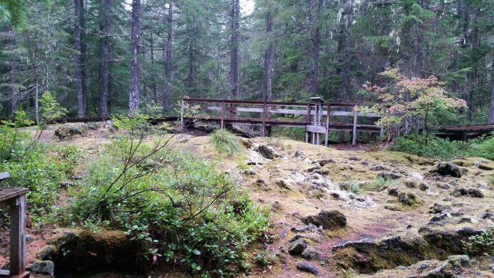
I didn’t really know what to expect with The Trail of Two Forests. When we got there, it was raining and we were the only people silly enough to still hike it. But it was on a boardwalk, so it wasn’t bad at all. At the Trail of Two Forests you get to walk among casts of old-growth trees buried by lava 1,900 years ago during one of Mount St. Helens previous eruptions.
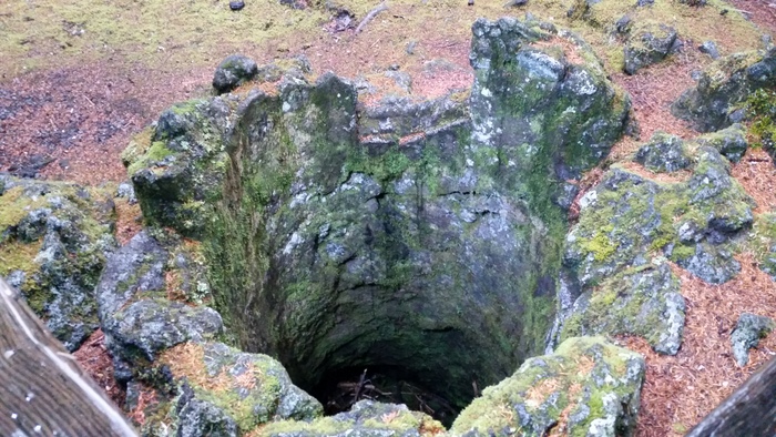
In the photo above you can see a tree cast or mold. The lava would flow around the tree and catch the trees on fire and then the trees would burn up. Over time, the charcoal left by the burning tree erodes away leaving behind a cast or mold of the tree. There’s a set of these molds that make a tunnel called “The Crawl” where you can actually crawl through the tunnel to an exit.
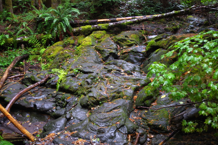
You can see the lava bed all around the ancient forest.
It’s really pretty neat. We only had two days to explore this area. I would have loved to spend another two so we could’ve taken our time and done a few more hikes. I wanted to do the Lava Canyon hike, but we didn’t make it there this time. Luckily, we’ll be back to Washington to do the rest of the stuff on our list!
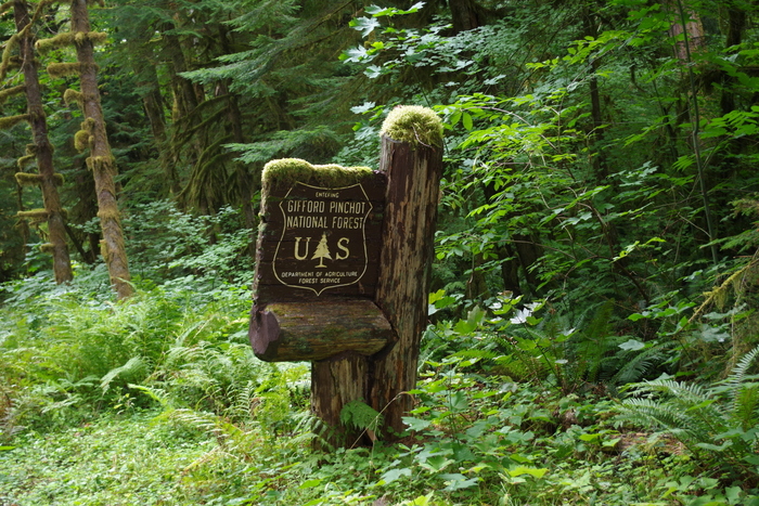
We drove in and out of the Gifford Pinchot National Forest during our Mount St. Helens explorations. I had to get a shot of this sign so y’all could see how the moss grows on everything in this part of Washington. It’s really everywhere. We’d originally planned on staying in Washington for a month or more to do our entire list for the WA state, but after Alaska…we were kind of done with cool, wet, and green. So, we decided to head South for the winter.
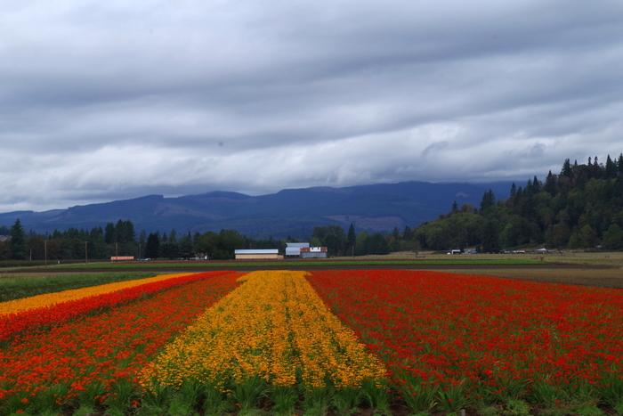
I wanted to share the only splash of color in the sea of green… This was a flower farm. I’m hoping to make it back to Washington in the Spring to see all of the tulips!
See y’all down the road!!
