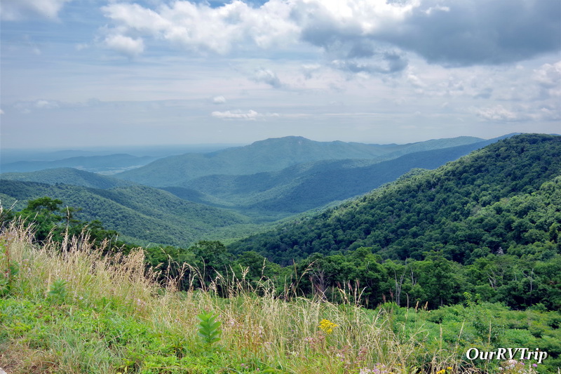
Basecamp Uniontown
Hey Guys! We made it to Pennsylvania! This was a hard place to get to for a few different reasons. There aren’t too many RV parks in this area…they’re all pretty darn expensive…and even the KOA we ended up staying at was mostly seasonal. But, I found us a spot and even with some changing plans and pandemic stuff, we made it.
You’re probably wondering why we made such an effort to get to Uniontown, Pennsylvania. There are five National Park Units that are reachable from Uniontown. All of them are within an hour or so drive which made Uniontown a good basecamp to see all five parks. We gave ourselves two weeks and Guys…it rained almost every day. *palm slap* We made it work and got them all in though…so lets get this post started.
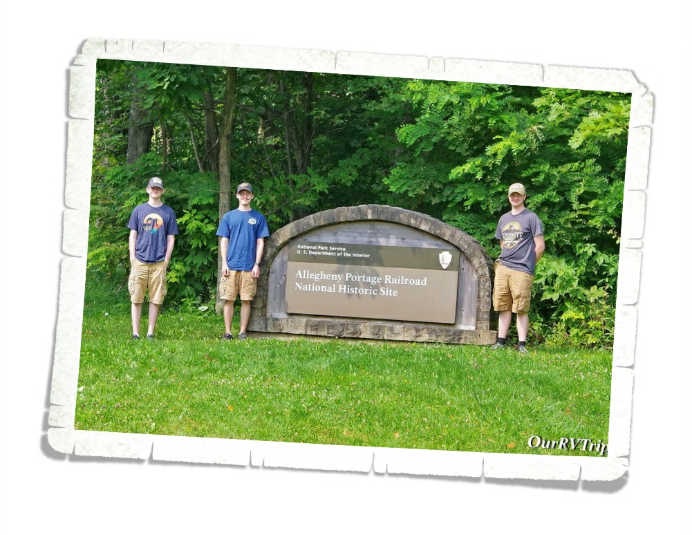
Allegheny Portage Railroad National Historic Site preserves a few important locations along the Allegheny Railroad. With the completion of the Erie Canal in 1825, the merchants in Pennsylvania found themselves being left behind as everyone started to take advantage of the easier route through the canal with new markets and new cities. The Allegheny Railroad was Pennsylvania’s answer to keeping commerce coming through their state.
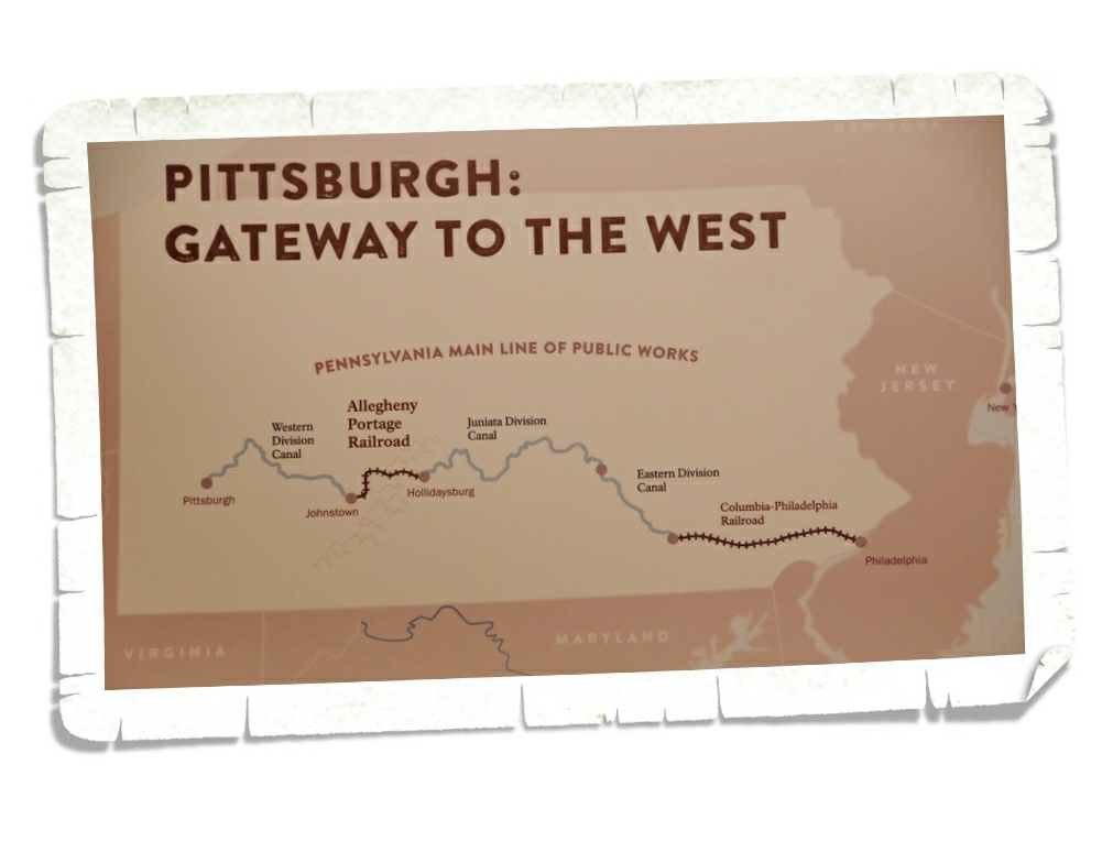
Before the Allegheny Portage Railroad, Pennsylvania merchants and travelers wanting to reach Pittsburgh utilized a railroad then a series of canals to get to Hollidaysburg where they then had to slog their way through the Allegheny Mountains until they got to the next set of canals. The terrain was hard, often muddy, very steep and not very cost effective for merchants. When the Erie Canal offered merchants a faster, easier…and more cost effective route, Pennsylvania had to come up with a better solution to get goods and travelers over the Allegheny Mountains.
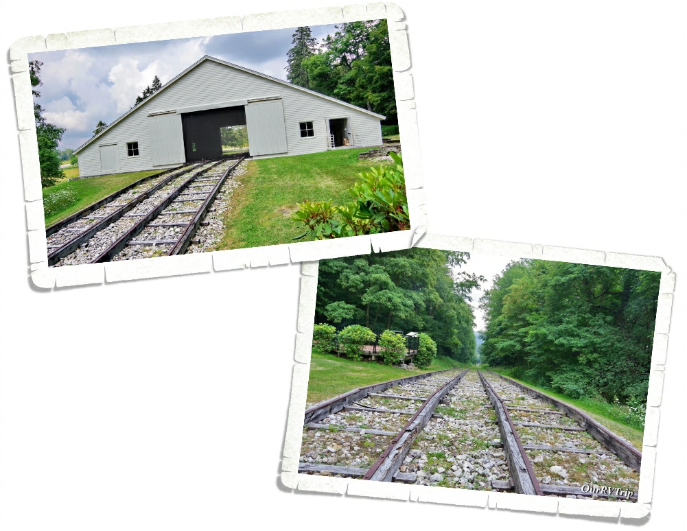
What they came up with was a daring engineering marvel when railroads were still considered experimental in the United States. The inclined plane railroad carried entire boats along a series of ten incline planes (five on one side and five on the other) up , over and through the Allegheny Mountains. In each of the engine houses along the incline, there were two steam powered stationary engines that utilized ropes to pull the railcars along the railroad. With the completion of the Allegheny Portage Railroad, a trip across Pennsylvania that used to take three weeks, only took a few days.
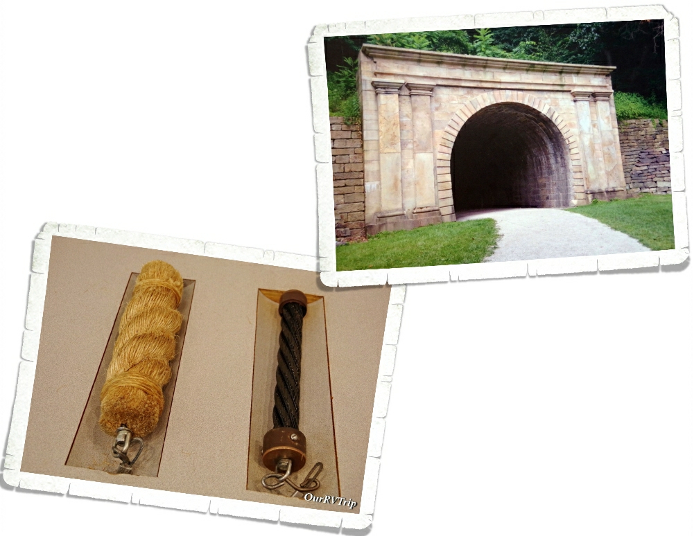
Railroads, steam engines and incline planes were all groundbreakingly new when Pennsylvania was figuring out how to make the Allegheny Portage Railroad…in fact, this would be the first time they were all used together. And…if that’s not impressive…how about the first railroad tunnel in the US? Staple Bend Tunnel took workers eighteen months to cut through 901 feet of sandstone. Keep in mind…dynamite sticks didn’t exist yet.
One of the most important innovations created during this whole endeavor is the wire rope, created by John Roebling to fix the problem with the hemp ropes previously used that were notorious for breaking within one season of use. Roebling would later go on to design the Brooklyn Bridge.
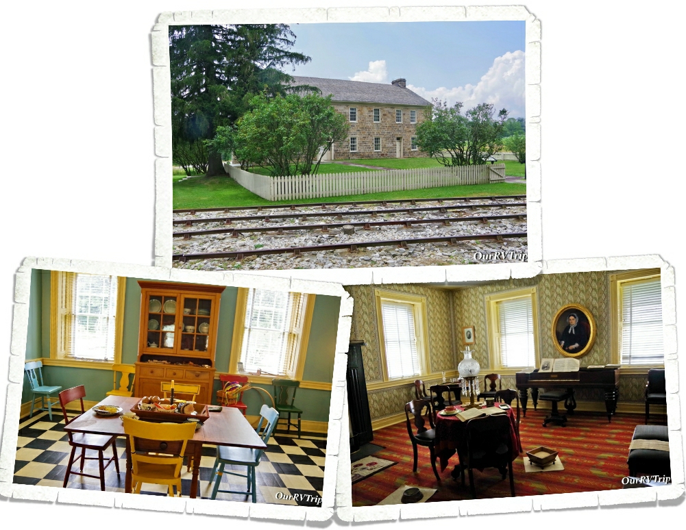
The Lemon House was owned and operated by Samuel & Jean Lemon and served as a tavern during the time the Allegheny Portage Railroad was used. As you can see from the photo above, it was located right off the tracks of engine house number 6 where passengers had to wait until the train started its decent. You can go in and explore a few of the rooms of Lemon House and get a feel for what life was like for people at that time.
As high tech as it was, the Allegheny Portage Railroad didn’t last that long…opening in 1834 and closing in 1854…for a variety of reasons, but mainly due to further advancements in the locomotive. In the early 1850s, Pennsylvania started work on the new and improved Portage Railroad effectively ending the usefulness of the old system. While short lived, no one can dispute the critical role it had in continuing the westward expansion and opening up the interior of the US.
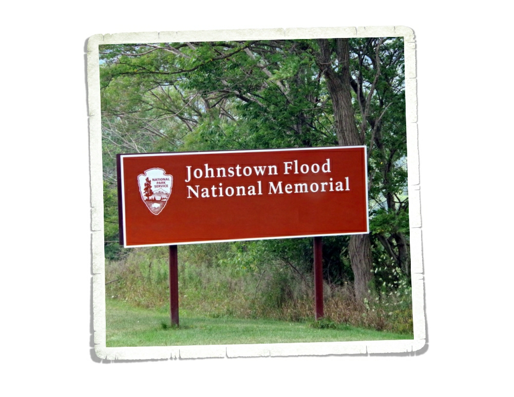
Johnstown Flood National Memorial preserves the story of one of the worst disasters in American history which resulted in over 2,000 people dying.
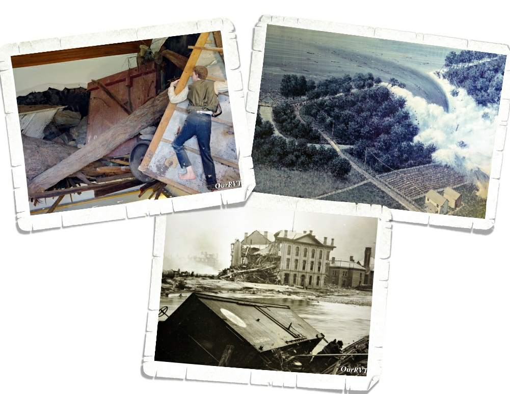
Johnstown, Pennsylvania was a steel and railroad town. Most of the 30,000 people who called it home were German or Welsh…a hard working, family oriented community. For whatever reason, the people who founded Johnstown did it in the middle of a floodplain so the town was used to some seasonal flooding.
Lake Conemaugh was originally built as part of a canal system from 1838 to 1853. It was abandoned and sold to the Pennsylvania Railroad and then sold again to the South Fork Fishing and Hunting Club sometime after 1881. The Club was an exclusive and a very secretive retreat for fifty Pittsburg steel and coal magnates and their families. The Cub built cottages and a club house along the shore and stocked the lake for fishing. Unfortunately, they didn’t put much time or effort into the lake or dam maintenance. On May 31, 1889, after several hours of hard rain the South Fork Dam failed and somewhere around 20 million tons of water tore through several towns and destroyed Johnstown.
The Johnstown flood is the worst natural disaster of the 19th century and brought not only our nation but the world together to help the survivors of the Johnstown flood. This was also the first disaster relief effort led by Clara Barton through the American Red Cross.
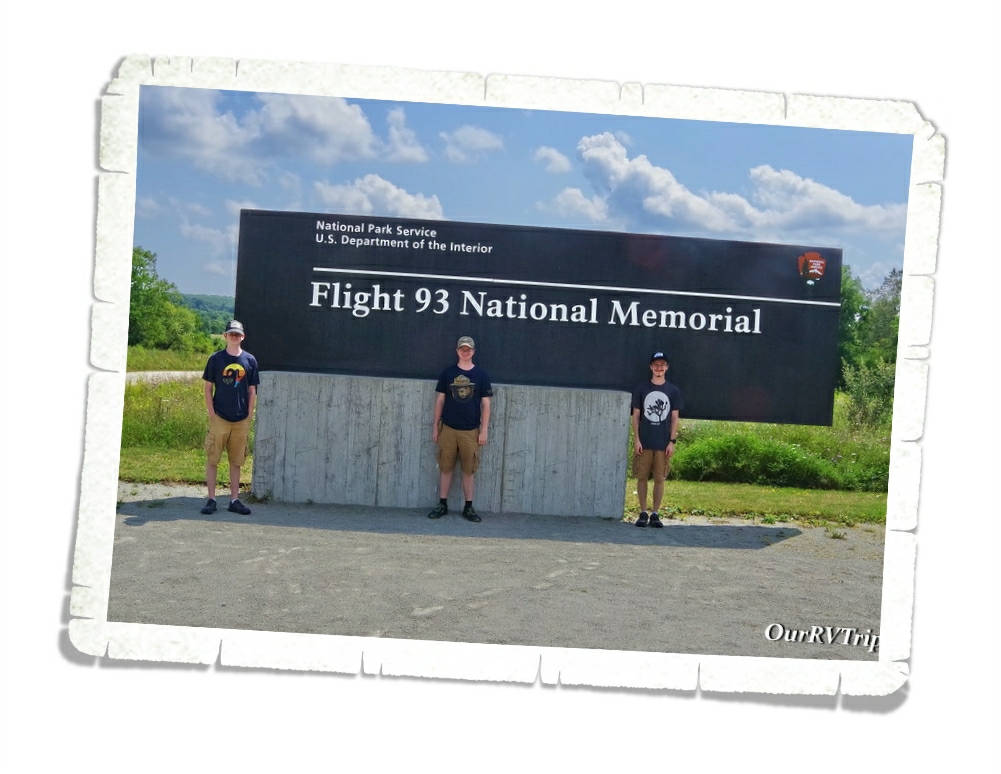
Flight 93 National Memorial was the whole reason we came to this area. We often take the opportunity to teach the boys things based on the NP unit we’re visiting and the lesson of Flight 93 is one they’ll never forget. September 11, 2001 is a date we, as Americans, should never forget. Only one of our boys was alive at the time and he was only one so everything they know about what happened that day is from watching documentaries and hearing us (their mom and dad) talk about it. Y’all know it’s different to see something on television or read about it in a book… but to stand in the place where people gave their lives to protect so many others will make it more real. These were regular people…not soldiers…who made the ultimate sacrifice to save others.
I’m not going to go through all the details here of what transpired on that day…y’all should already know. I’m just going to talk about the memorial in this post.
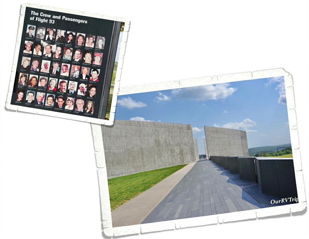
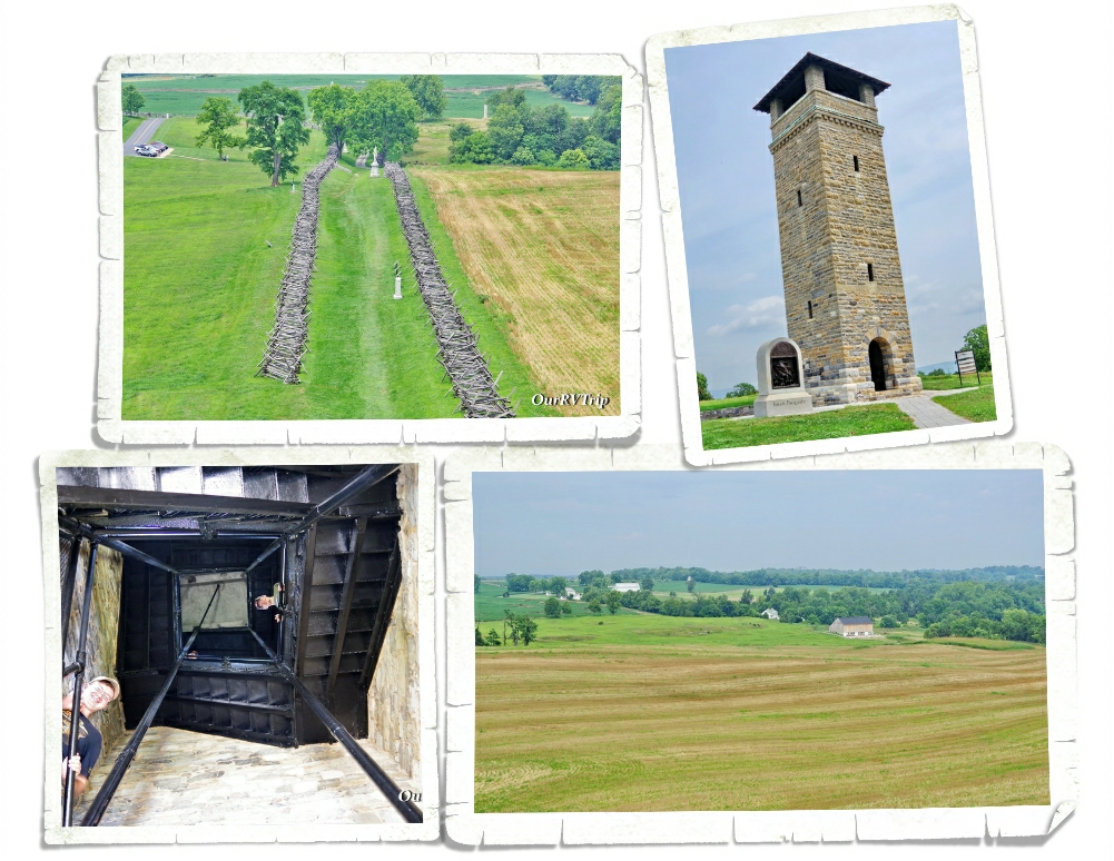
Flight 93 National Memorial preserves and honors the memory of the forty passengers and crew of United Airlines Flight 93. Everything about this memorial was thought out and has meaning starting with the flight path you walk to get to the visitor center and viewing deck. Along the flight path, you’ll see the time stamp of when each of the other three planes crashed.
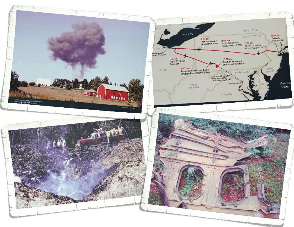
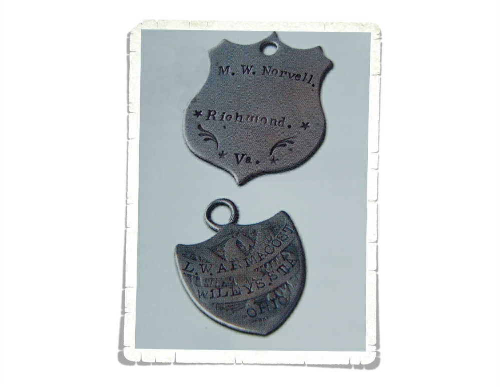
While you’re in the visitor center, they ask that you not take any photos. Some of what’s being displayed is still under copyright law. I found these photos outside and asked a Ranger if I could photo them. I think they really put some of the pieces of the overall puzzle together.
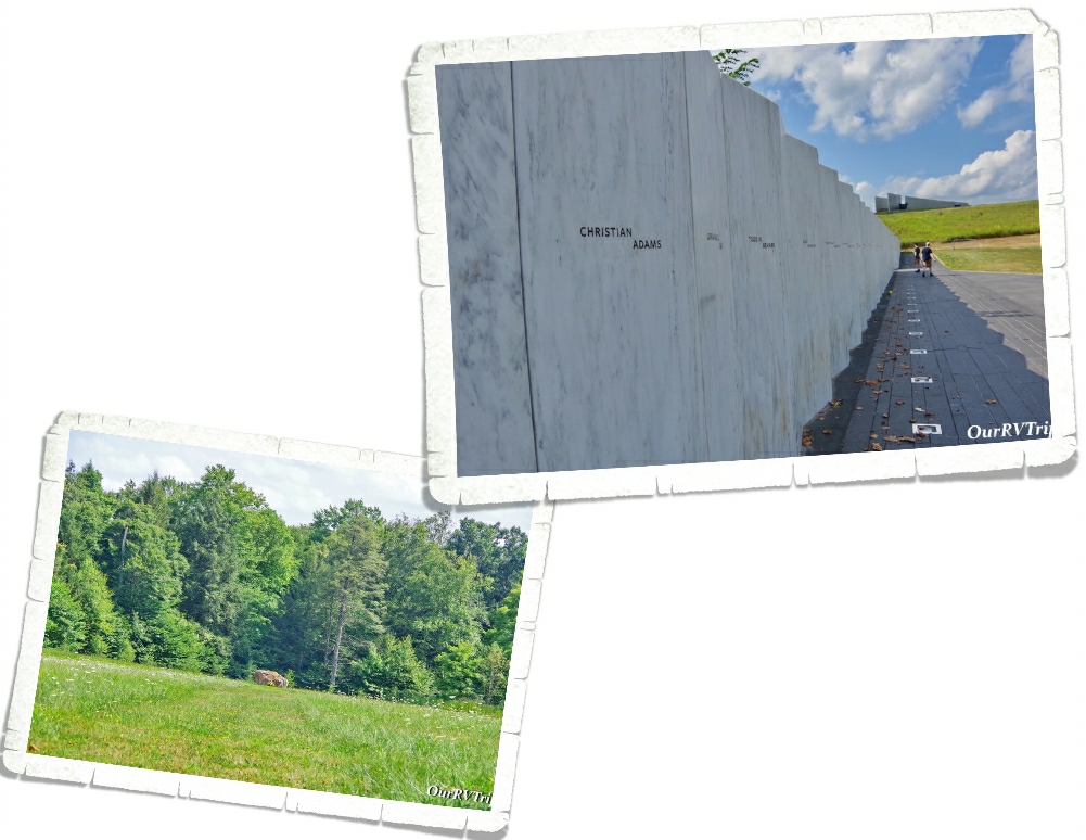
When you’re done going through the mountain of information in the visitor center, head down to Memorial Plaza where you can see the Wall of Names. The Wall of Names is made of forty individual marble panels. Each panel has the name of a passenger or a crew member engraved into the marble. Out in the field sits a seventeen ton piece of sandstone that indicates the location of impact.
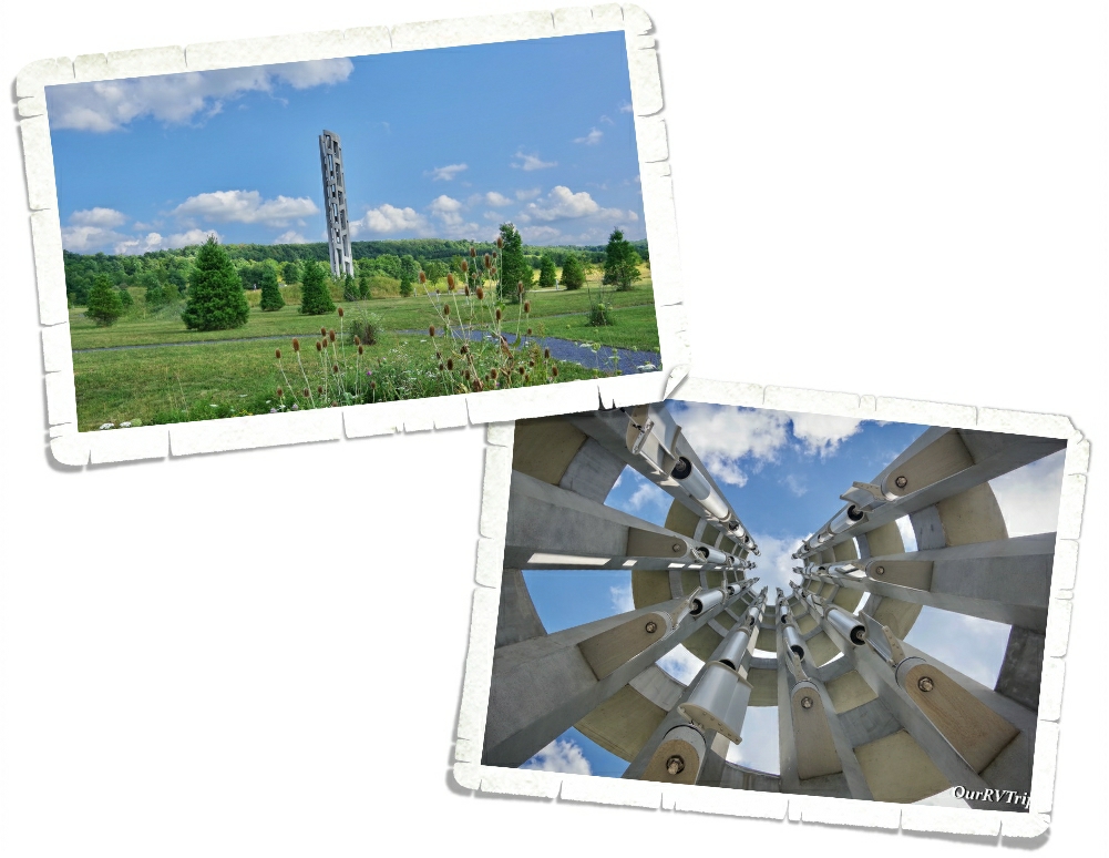
The Tower of Voices is 93 feet tall and holds 40 windchimes. One chime for each voice lost on Flight 93. The chimes are big so it takes a big wind to make them sing. We didn’t get to hear them while we were there, but you can go to the NPS website for Flight 93 National Memorial and hear it there.
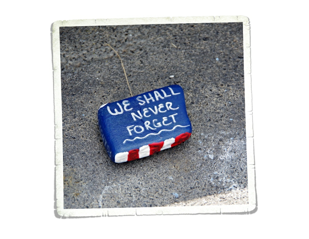
We visited Flight 93 National Memorial in August 2021. I honestly expected there to be more people there since 2021 is the twenty year anniversary of 9/11, but there weren’t too many people there. We didn’t mind. We spent quite a bit of time at this little NP unit talking about what happened…remembering.
Once again, the NPS has done an excellent job of commemorating, honoring and preserving a pivotal event in American history that should never be forgotten. On a day when it’s easy to find so many stories of fear, destruction and death…if you listen, you’ll also find just as many stories of hope, unity, courage and heroes.
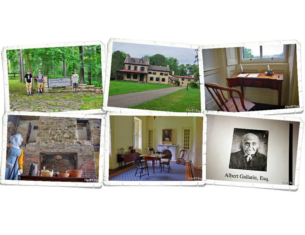
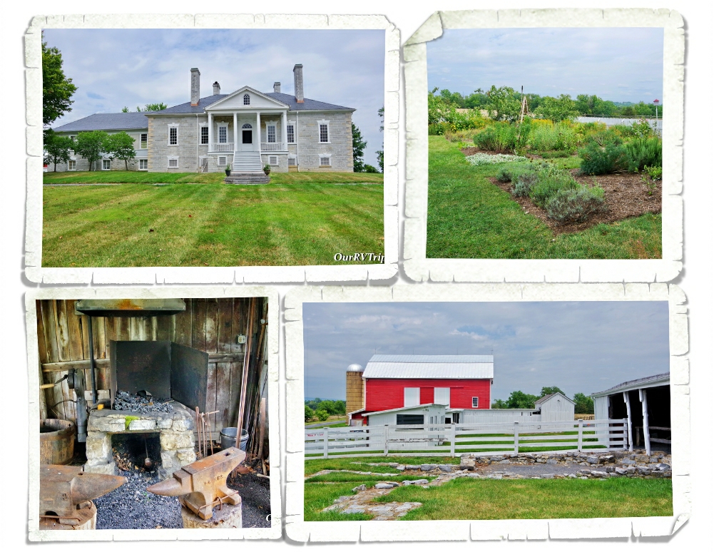
Friendship Hill National Historic Site is at the country estate of Albert Gallatin. The house is beautiful…but really, the NHS is about Albert’s life and his many accomplishments. We’d never heard of Albert Gallatin before we visited this NP Unit, but Guys…he had a hand in some of the biggest historical events for the US. Albert Gallatin spent thirteen years as Secretary of the Treasury under Presidents Jefferson and Madison…and while he was doing it…he actually reduced our National debt. He also had a part in the purchase of the Louisiana Territory and funded the Lewis & Clark expedition! Later in his life, he helped to negotiate an end to the War of 1812 and then moved his family to France where he served our Country one more time…this time as Minister to France.
We spent a few hours going through the house and learning all about Albert and his family. We also met a great Ranger and spent quite a bit of time chatting with him. We’ve said it before…but I’ll say it again… meeting people that we would never have had the chance to meet has been one of the best parts of living this crazy Nomad life that we live!
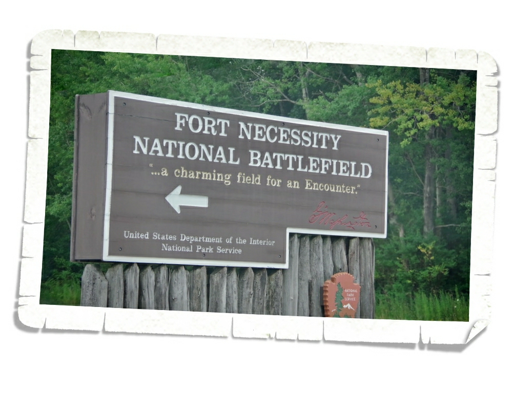
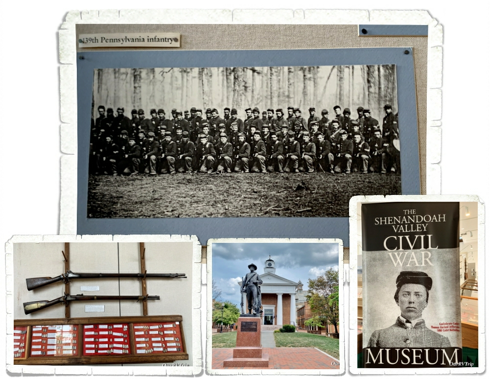
Fort Necessity National Battlefield was the last park we explored during our two weeks in the Uniontown area. This is another park that people always ask us if we’ve been to so we were expecting good things from this park.
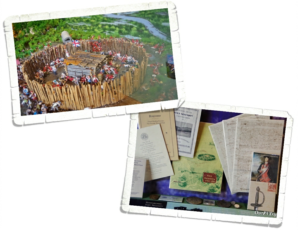
The museum at this park was a good one. It laid out all of the information and included some great pics/artifacts. For some reason, I didn’t get very many pics at this park. Sometimes it happens…sometimes I’m too busy being a nerd to remember the big camera in my hands. If you can (and we highly recommend it) you should do the Ranger talk/walk here. The Rangers do a fantastic job of presenting the information and highlighting the major points.
So, what’s so important about Fort Necessity?
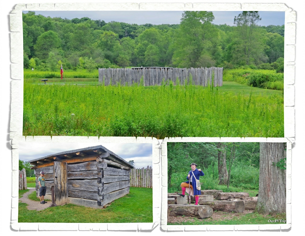
Fort Necessity is where a young (22yrs old) Colonel George Washington suffered his first military defeat in the summer of 1754 at the hands of the French. It’s this battle that leads to the beginning of the French and Indian War where Great Britain and France spent seven years fighting over who would control North America. I’ll be honest…I was really expecting…you know, a fort. But, Fort Necessity is really a stockade meant to keep the gun powder and the rum safe.
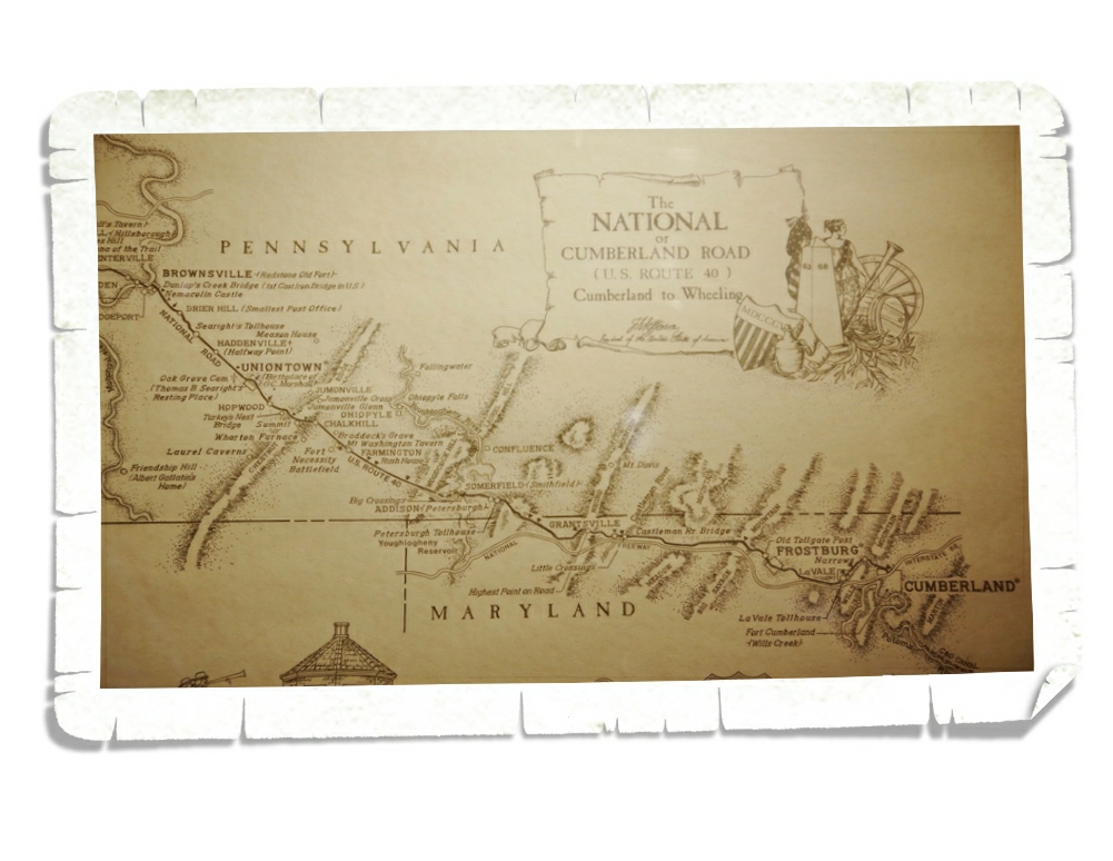
George Washington was in the area to build a road…the road that would come to be National Pike and was the first federally funded highway.
Most believe the battle that took place at Fort Necessity along with the resulting French and Indian War set the stage for the American Revolution. So yeah, the events that took place at this little NP Unit were…world changing.
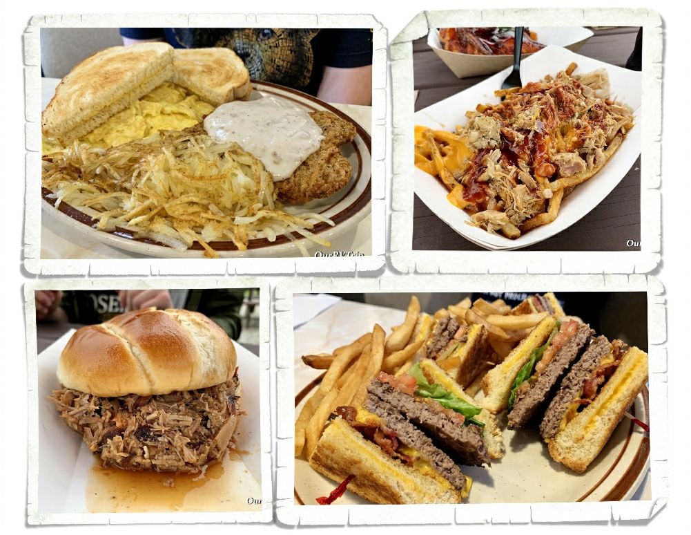
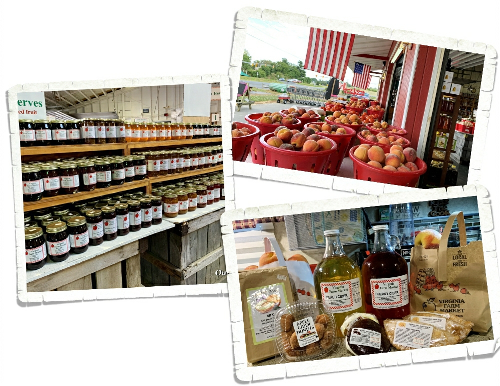
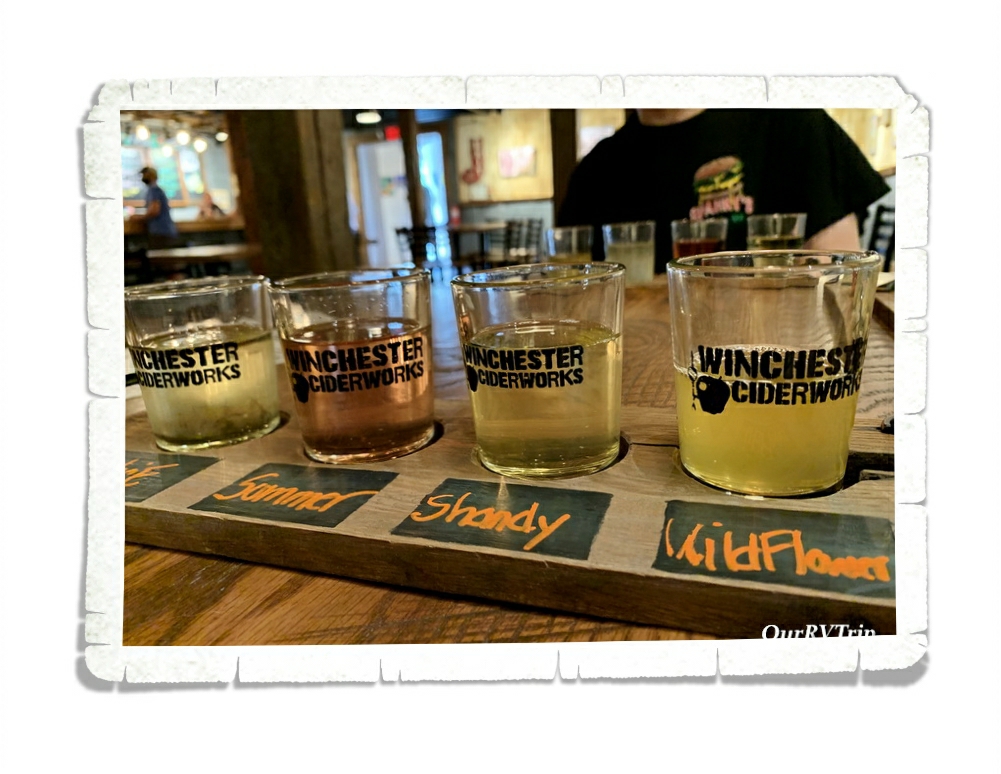
We found some pretty good foodies! One of the regional foodies we found was the Burger Club where the “buns” were actually grilled cheese sandwiches. And we found some pretty darn good smoked meat at a place called Stone House that’s right down the road from Fort Necessity.

Well Guys, that’s what we got done during our two weeks in Uniontown. We smashed quite a bit even with the shoddy weather. The RV park we stayed at had almost zero cell service. We couldn’t even make a phone call. Fortunately, they had decent wifi and we were able to make it work…it was a struggle…somedays were pretty frustrating as we tried to do work/school stuff. It makes us appreciate those blazing fast speeds when we find them! Ha!
And for those keeping track…we’re now up to 24 National Park Units for the 2021 adventure year…so far!
See y’all down the road!
#NationalParkTour