Basecamp Custer
Hey Guys!! We made Custer, SD our basecamp four two weeks as we explored the black hills area of South Dakota and Guys…there was so much to see and do! Lets get started!
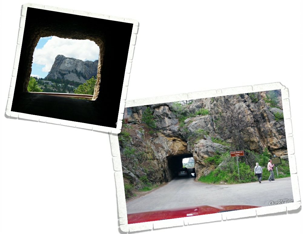
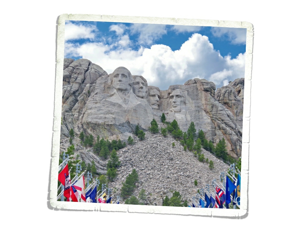
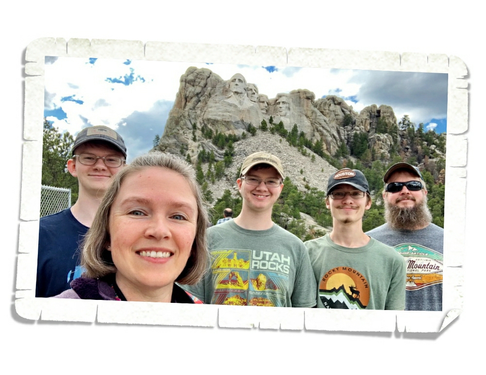
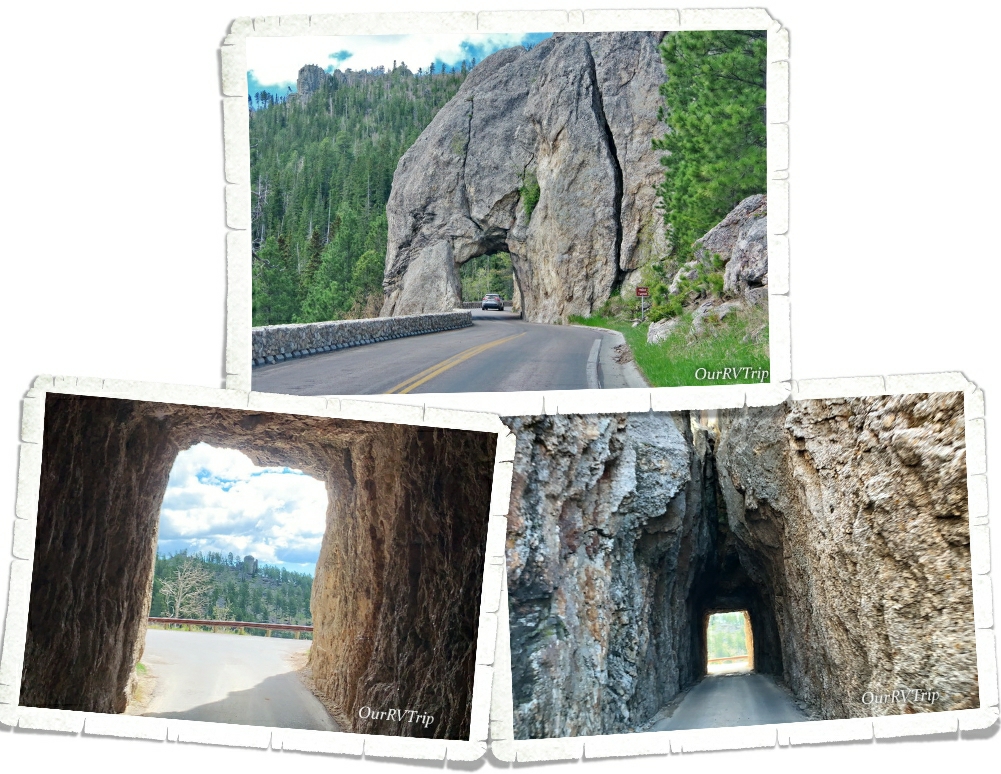
Y’all know we’re on a National Park Tour, so it shouldn’t surprise you that our first stop in the area was Mount Rushmore National Memorial. We drove the Iron Mountain Road to get to Mount Rushmore because I’d heard that there were some interesting views of the Memorial on the way there. There are three tunnels on the Iron Mountain Road and they all frame Mount Rushmore NM. The first one you’ll come to (and probably the most photographed) is the Doane Robinson Tunnel, but the other two are just as good. You can also stop at the Peter Norbeck Scenic View for another view of the Memorial.
Before it was known as Mount Rushmore, it was known as “The Six Grandfathers” and “Cougar Mountain” by the Lakota Sioux. American pioneers knew it by several names…some of them are Cougar Mountain, Slaughterhouse Mountain and Sugarloaf Mountain. In 1885 David Swanzey, Bill Challis and Charles Rushmore started coming to the mountain for prospecting expeditions. They visited so often that Charles Rushmore, a wealthy investor, started joking that he was going to have the mountain named after himself. In June 1930, the US Board of Geographic Names officially changed the name to Mount Rushmore…five years after Charles Rushmore donated $5k towards Gutzon Borglum’s sculpture project.
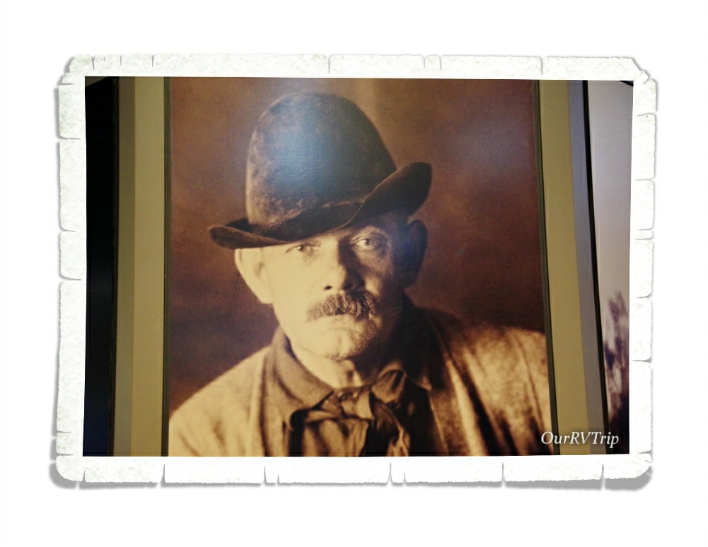
In 1924, Doane Robinson conceived the idea of a sculpture cut from the needles of the black hills to represent “American West heroes”. He thought people like Lewis & Clark, Sacagawea, Lakota Chief Red Cloud, Buffalo Bill Cody and Lakota Chief Crazy Horse should all be represented. Renowned sculptor, Gutzon Borglum (pictured above) was brought on to the project. He immediately threw out the idea of carving on the needles section of the black hills due to the fragility of the rock there. He suggested the carving be done on what was then known as Cougar Mountain. By the end of the planning phase of the project, the subjects had been changed to George Washington, Thomas Jefferson, Theodore Roosevelt and Abraham Lincoln to represent the nation’s birth, growth, development and preservation. Peter Norbeck, a US Senator from South Dakota, sponsored the project and found the federal funding to make it happen.
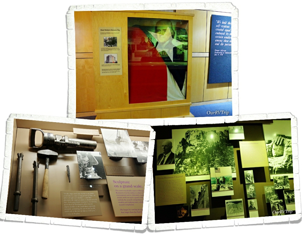
Gutzon Burglum started carving out George Washington’s likeness in 1927, but sadly passed away before he could see the project to completion. His son, Lincoln Borglum, who had been working with him, stepped in and finished the sculpture in 1941. There’s a great museum where you can watch a film about the Memorial and see some very interesting exhibits that include actual tools used, old photos, and information about the entire project from start to finish. We got there late in the afternoon and only had about 45 minutes to see everything in the building before it closed, but you could easily spend a couple of hours there.
Over two million people visit Mount Rushmore National Memorial each year to see what has become to many, a symbol of freedom and hope. We’ve been to quite a few National Park units now and Guys, I’ve never seen a parking set up at a NPS unit like what we saw at Mount Rushmore. I told the boys as we were driving in that I felt like we were going to Universal Studios instead of a National Memorial due to the number of parking garages and attendants to guide you to the correct one. That was definitely a first for us at a National Park unit. We felt like this park was…OK…and maybe that’s because of all the hype about it? I don’t know…but it kind of fell flat for us. Maybe it was the number of people there? Maybe it was the construction going on? I’m glad we went and learned about it…but I’m also glad we didn’t come to the area to see just this particular Memorial.
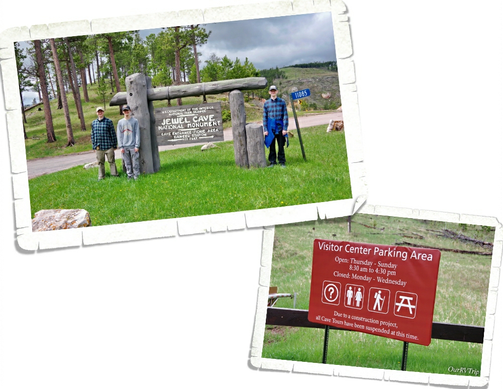
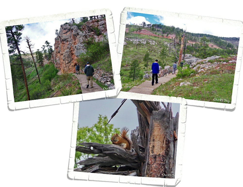
When we first planned this area of our South Dakota loop, Jewel Cave National Monument was completely closed, but as our visit drew closer, parts of the park started opening up. When we went, the only thing that wasn’t open…was the cave. The park is currently updating the elevator that takes you in and out of the cave. Now, I know what you’re probably thinking…something like, “Why the heck would you visit a NP unit about a cave if you can’t actually go down into the cave?” I know, I know…I hear you. But, there are some scenic hikes and a video that lets you see the cave and since we’ve been into several other caves…we went.
Jewel Cave was found in 1900 by Frank and Albert Michaud as they were exploring Hell Canyon. They felt cold air blowing out of a small hole and became curious about what was in it. They came back and enlarged the hole with dynamite to find a cavern lined with calcite crystals lining the walls and sparkling in their lamplight…which is why they named the cave “Jewel Cave”. Frank and Albert developed the cave and tried to capitalize on the beauty of the cave but their plans ultimately failed.
Word of the cave’s beauty made it all the way to President Theodore Roosevelt and on February 7, 1908, Jewel Cave National Monument was made official. Today, the 1,279 acre park protects the world’s third longest cave (208 miles of mapped passages) along with the forest above it where you can enjoy a few different scenic hikes.
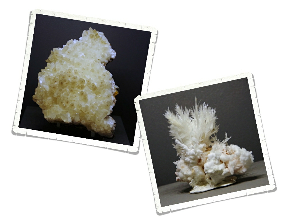
Jewel Cave National Monument is known for its jewel like frostwork and hydromagnesite balloons, but you’ll also see stalactites, stalagmites, draperies, flowstone and a little bit of boxwork. This cave is also an important hibernaculum for nine species of bats! Stay with me here…I know I’m nerding out a bit… hibernaculum is just a fancy way of describing a winter home for a hibernating animal… and yes, there are some types of bats who hibernate instead of migrate. And yes…we probably spent way longer than most in the little park museum as we nerded out over the science found at this park. We’re nerds. It’s what we do. We definitely want to come back to Jewel Cave National Monument to take a tour of the cave!
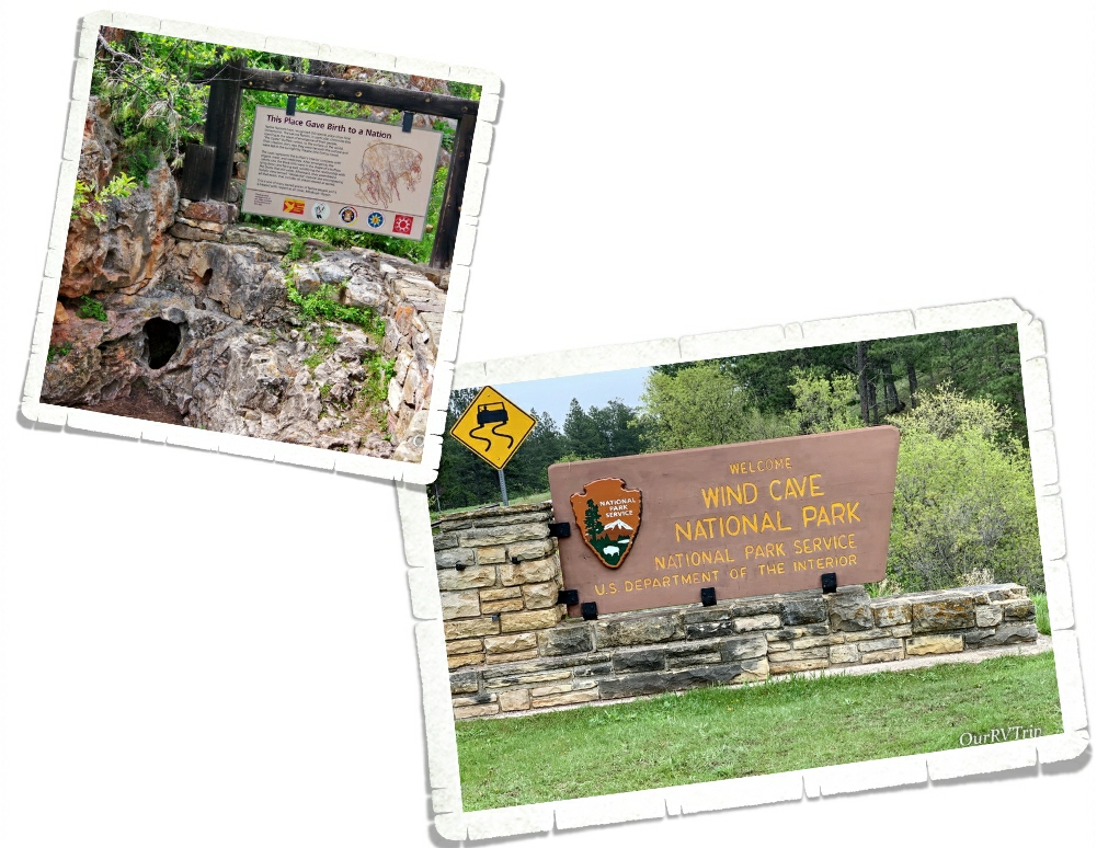
When we first planned this section of our South Dakota loop, Wind Cave was closed just like Jewel Cave. Luckily, it opened back up before we got there. Tour spots were offered on a first come basis and we squeaked in on the last tour of the day (we got there just after they opened). We spent the day hiking around and seeing what else Wind Cave NP had to offer as we waited for our tour that afternoon.
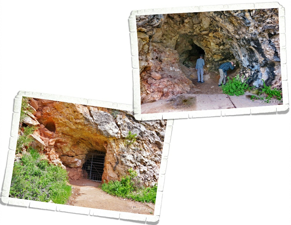
Wind Cave has been around for a long long time. The Lakota call it Maka Oniye or “breathing earth”. Wind Cave and the area around it is a sacred, spiritual place to Native people and should be treated with respect during your visit. The Lakota believe that this small hole is where their people first emerged into the world. One of the best things you can do is learn about the culture, beliefs and history of another culture. You’ll be better for it.
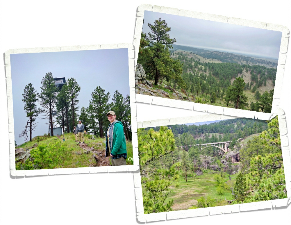
So….we had our tickets and we had an entire day to fill until we could go on our cave tour. We hit several hikes to enjoy the rolling hills of the largest remaining natural mixed grass prairie in the US and forests that make up the above ground portion of this park. It wasn’t the worst way to spend a day. The views were pretty stellar.
What would become Wind Cave NP had been known by Native Americans for a long time before it was found by Jess and Tom Bingham in 1881 as they were exploring the area. Jess and Tom are credited with being the first western explorers to find the cave. They were out riding their horses up a draw and heard a loud whistling noise. When they got off their horses to explore further, the wind coming out of a small hole blew Jesse’s hat off his head. Well, some say it was Jesse’s hat that got blown off his head…other accounts say it was Tom’s… Someone’s hat was blown of their head when they looked into the small hole.
Eventually, we would learn that this cave actually “breathes” as the air constantly moves in and our of it in concert with the outside atmospheric pressure. It’s this barometric wind you feel at the entrance and what the cave is named for.
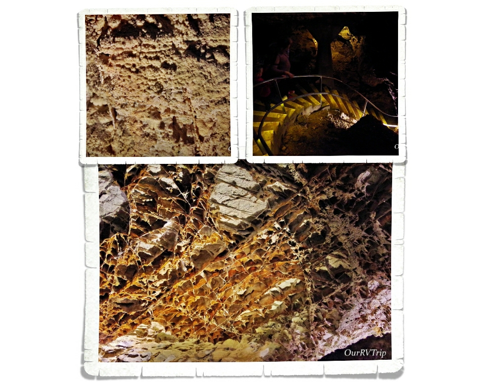
Wind Cave became a National Park on January 3, 1903 to preserve the world’s largest concentration (95%) of boxwork. Boxwork is a honeycomb looking formation made of calcite fins that is as fragile as a potato chip. This large concentration of such a rare formation is what led President Theodore Roosevelt to set aside the 33k+ acres and make Wind Cave National Park the first cave to be designated a national park in the world.
We did the Natural Entrance Tour which is about 2/3 of a mile in length and includes about 300 stairs. No, I didn’t count them…I felt them…but, I did look up the number of stairs on the official website. Guys, this cave isn’t going to win any beauty contests. People don’t tour it to see pretty shining gem like formations (like Jewel Cave), and you’ll probably only see the boxwork and a little bit of cave popcorn (even though you’re supposed to see some snowballs and frostwork too)…but it’s worth taking a trek into Wind Cave to see the massive amount of delicate boxwork. The stairs were mostly all going down and we got to take an elevator back to the surface (thank goodness!!).
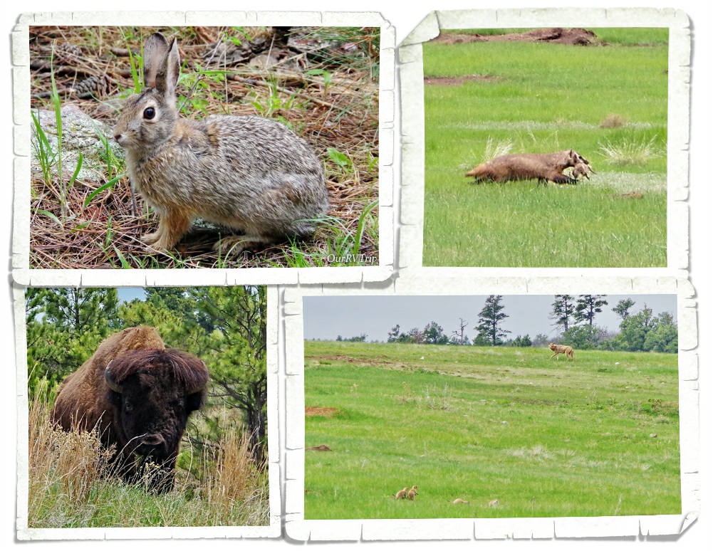
We saw a surprising amount of wildlife during out Wind Cave NP explorations! We saw another badger and another coyote! Guys, if you want to see badgers and coyotes…go check out the prairie dog towns because that’s where we seem to always find them! The fluffy cows were definitely out and about. We ran into one while out on a hike and it got a little…puckery. He was startled…we were startled…he did some stomping and grunting…we did some fast back stepping and tried not to piddle right there on the trail… All kidding aside, it was nerve-wracking to pop up over a hill and come face to face with this battle cattle. He, of course, had the right-of-way and we just tried not to trigger his charging instincts as we crept away. It all turned out fine, but we were done hiking for the day after that. Fluffaloes might look like big fluffy cows, but Guys, they will kill you dead. Dead! They’re really fierce battle cattle that can run faster than you.
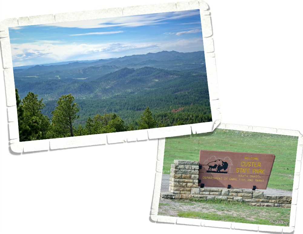
I saved the best for last. Custer State Park is definitely the crown jewel of the Black Hills. Custer State Park is South Dakota’s first and largest state park. I, honestly, can’t believe it hasn’t been made into a national park. Custer SP has it all. Scenic drives, epic views, wildlife, hiking, lakes and ponds for watersports…. It’s 71,000 acres of jaw-dropping beauty. We spent two weeks going in and out of Custer SP and it was by far our favorite adventure of the area.
Custer State Park is a drivers dream. You’re not into hiking…no problem! There are three scenic drives that will get you to some of the best views in the park. I mentioned the Iron Mountain Road earlier in the post during the Mount Rushmore section. What I didn’t tell you was that the Iron Mountain Road was designed in the 1930s by Peter Norbeck and he purposely made it narrow with one lane tunnels and pigtail bridges…the road is meant to be a slow scenic drive so you can appreciate the beauty you’re driving through.
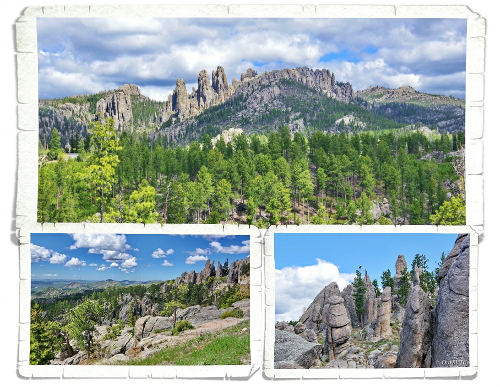
Needles Highway is a fourteen mile scenic drive that winds its way in, out and around the high granite “needles” and the ponderosa/spruce forests that make up this part of the black hills. Two narrow tunnels have been carved right through the granite wall…you’ll find scenic views and trailheads and if you’re lucky…you’ll spot some mountain goats. We didn’t see any goats, but we were told by a few different people that they like to hangout in the needles section of the park. Funny story about the mountain goats…they’re not native to the area. Back in the 1920s the park wanted to put in a zoo and they started with mountain goats…they didn’t count on the goats escaping after only six days. The zoo idea pretty much stopped after that.
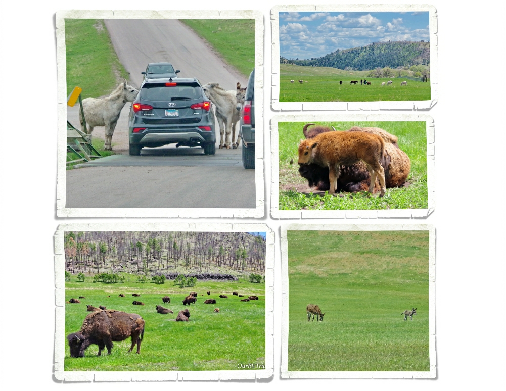
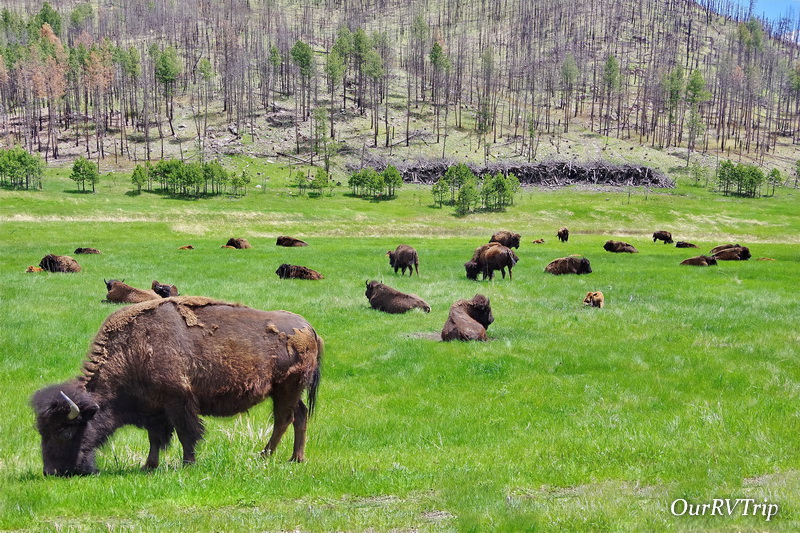
The last of the three scenic drives in Custer State Park I’m going to tell you about is the Wildlife Loop Road. This is where you go to find the fluffy cows and the begging burros. We saw sooo many baby bison…affectionately called red dogs by some due to their size and their red coloring. I’d been looking forward to seeing some red dogs during our South Dakota loop…we didn’t see any in Badlands…none at Wind Cave… I was getting pretty bummed at the thought of not seeing any at all but, we found them at Custer! So many mammas and babies!!
Alright, let’s talk about the begging burros. You can see them in the pictures above with their heads stuck into a vehicles windows. These burros are the decedents of a pack of hard working burros that used to take visitors of the park from Sylvan Lake Lodge up to a nearby summit. When the pack animals weren’t needed any more, the lodge let them loose in the park. The burros you’ll meet today don’t have nearly as hard of a life as their ancestors and they’re not above begging for food. Any food will do. They’re not picky. The Rangers do request that you stick with apples or carrots to help keep the burros healthy.
One more tip for Custer SP area… the Peter Norbeck Scenic Byway includes the three scenic drives I told you about plus a bit more. Make sure to check it out if you’re in the area!
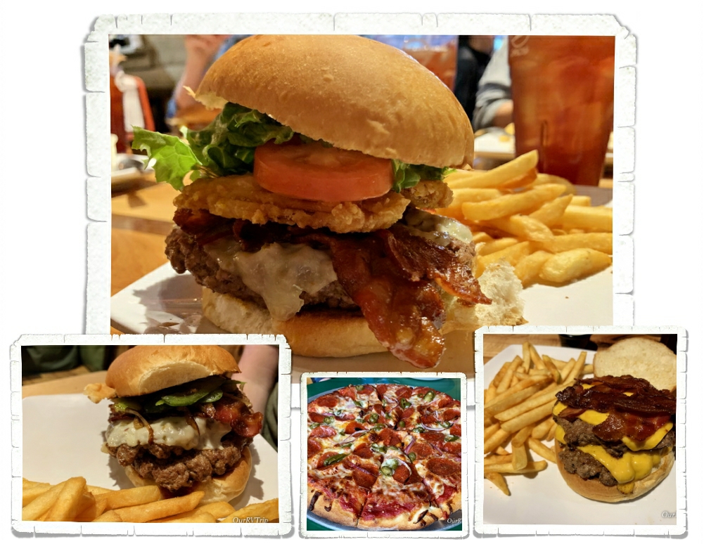
For a smaller town, Custer has some really good foodie spots! We found a place called Black Hills Burgers and Buns…Guys…this place has The. Best. Burgers! I’m drooling just thinking about those burgers…
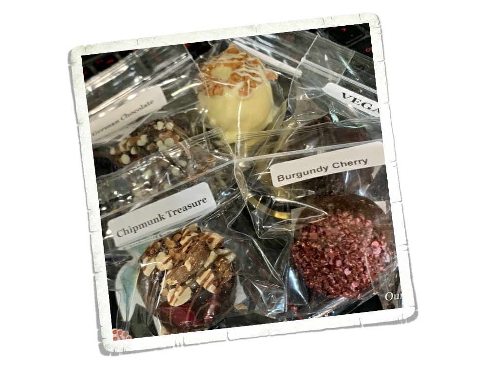
We found these Chubby Chipmunk Hand-Dipped Chocolate truffles at a little market right next to Black Hills Burger…they’re a little pricey, but so good! Tip: You can find them in Deadwood too!!
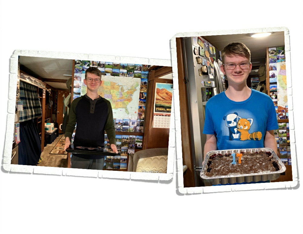
Nicholas celebrated a birthday and started his senior year in high school while we were in Custer. I can’t believe our youngest is almost done with high school!! My mama heart is feeling a little weepy about it.
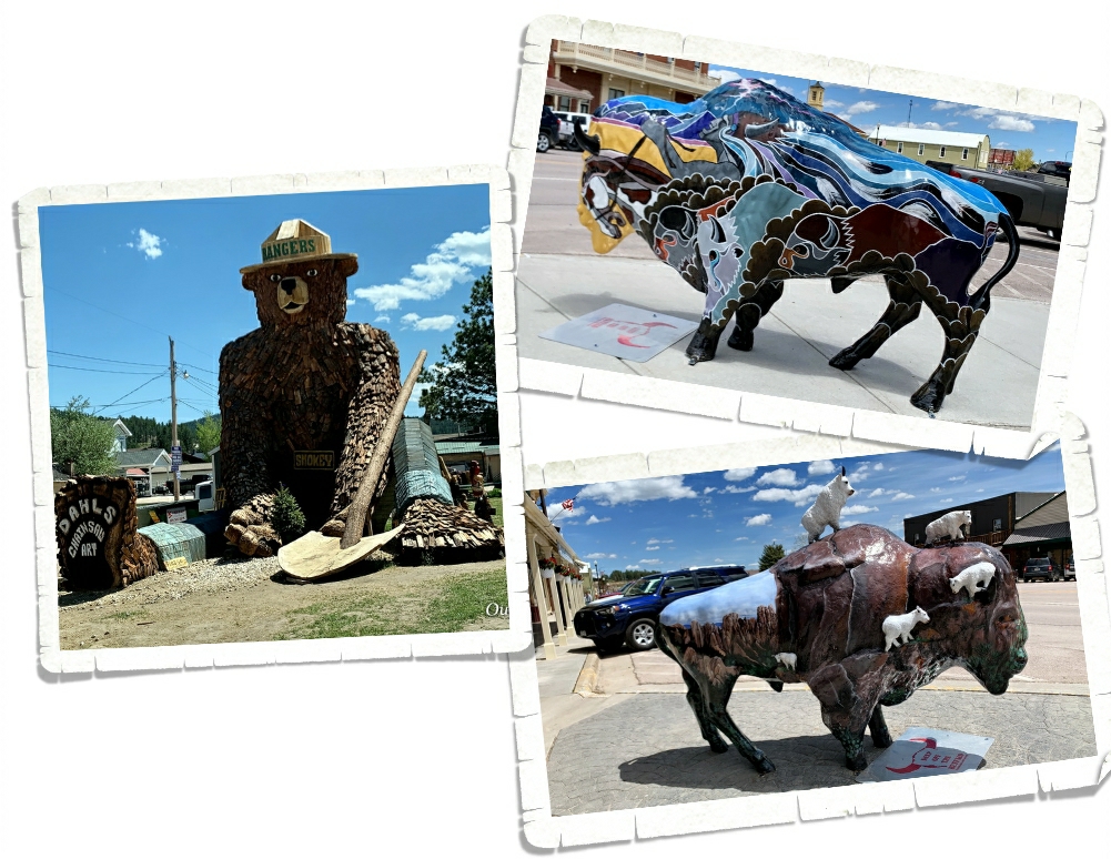
Custer and the surrounding towns are all fun to explore. You’ll find little hidden gems in all of them. We really enjoyed looking at all the bison art throughout Custer and the huge Smokey in Hill City.
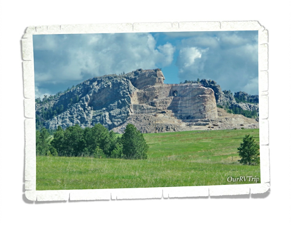
We didn’t make it to the Crazy Horse Memorial this trip. I’m looking forward to going back to the area someday and spending an entire day there. The museum and cultural demonstrations look amazing!
That’s all we had time to do while we were in the Custer area. We had some pretty bad weather while we were there. A tornado landed close enough to the RV park we were staying in that we could hear the tornado and feel the pressure changes that come along with it. It was probably the scariest day we’ve had as Nomads. South Dakota weather is no joke, but we’ve definitely found another favorite state!
See y’all down the road!!
#NationalParkTour
