Land Of Standing Up Rocks
Hey Guys!! We’re back in the Benson area for this post. We crammed so many adventures into our two weeks I might have to make this area a three post series. This is post number two of our Benson explorations…so lets get into it!
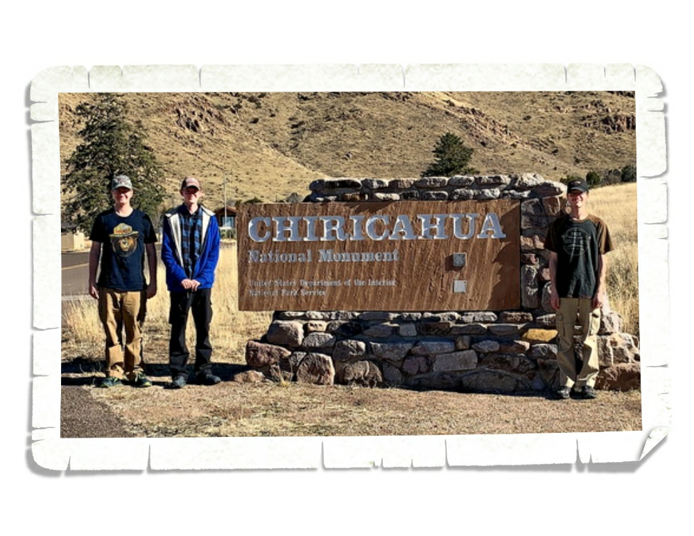
Chiricahau National Monument was established in April of 1924 and protects a small portion (around 12,000 acres) of the Chiricahau Mountains in southeast Arizona. I have to admit, I hadn’t done any research on this park before we went so I didn’t really know what to expect. On the way there we were out in the middle of nowhere with a pretty flat landscape and I kept thinking that this park might be a quick hour or two type of thing and then we’d head to a different park. So, when we rounded a corner and all of a sudden found ourselves in a forest…things got interesting.
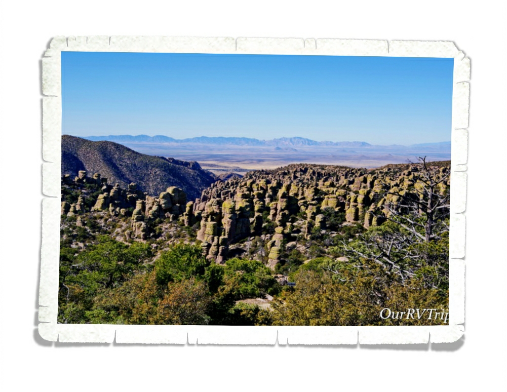
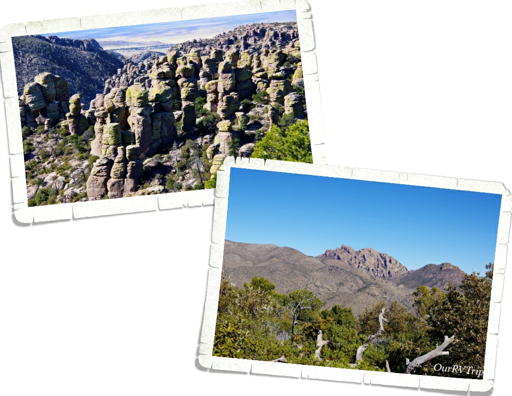
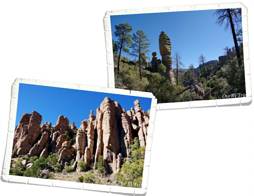
The Chiricahua Apache call this place “The Land Of Standing Up Rocks” because of all of the hoodoos. But Guys, these aren’t your normal hoodoos. The hoodoos, pinnacles, columns, and balanced rocks you’ll find in this park are all made up of rhyolite, a grey rock made up of super heated ash that’s been melted together.
When you drive up into Chiricahua National Monument, you’re driving onto one of the many sky islands of southeastern Arizona. Sky Islands are actually mountain ranges that are isolated from each other due to valleys, deserts, or grasslands that act sort of like barriers. Because of these barriers, plants and animals can become isolated on these sky islands.
Sometime around twenty-seven million years ago the Turkey Creek Volcano erupted and spewed ash over 1,200 square miles. The super heated ash compressed together, cooled, and formed rock formations. The rock formations you see today were created from years and years of weathering and erosion. Scientist have estimated that the Turkey Creek eruption was 1,000 times bigger than the Mount St. Helens eruption in 1980.
While we were driving to the end of the eight mile scenic drive, we realized this park would definitely take the whole day. We did a hike that took us down into the heart of a section of the standing up rock formations and somehow missed a turn and ended up hiking longer than we’d intended. It was a gorgeous day though so we weren’t too irritated by it.
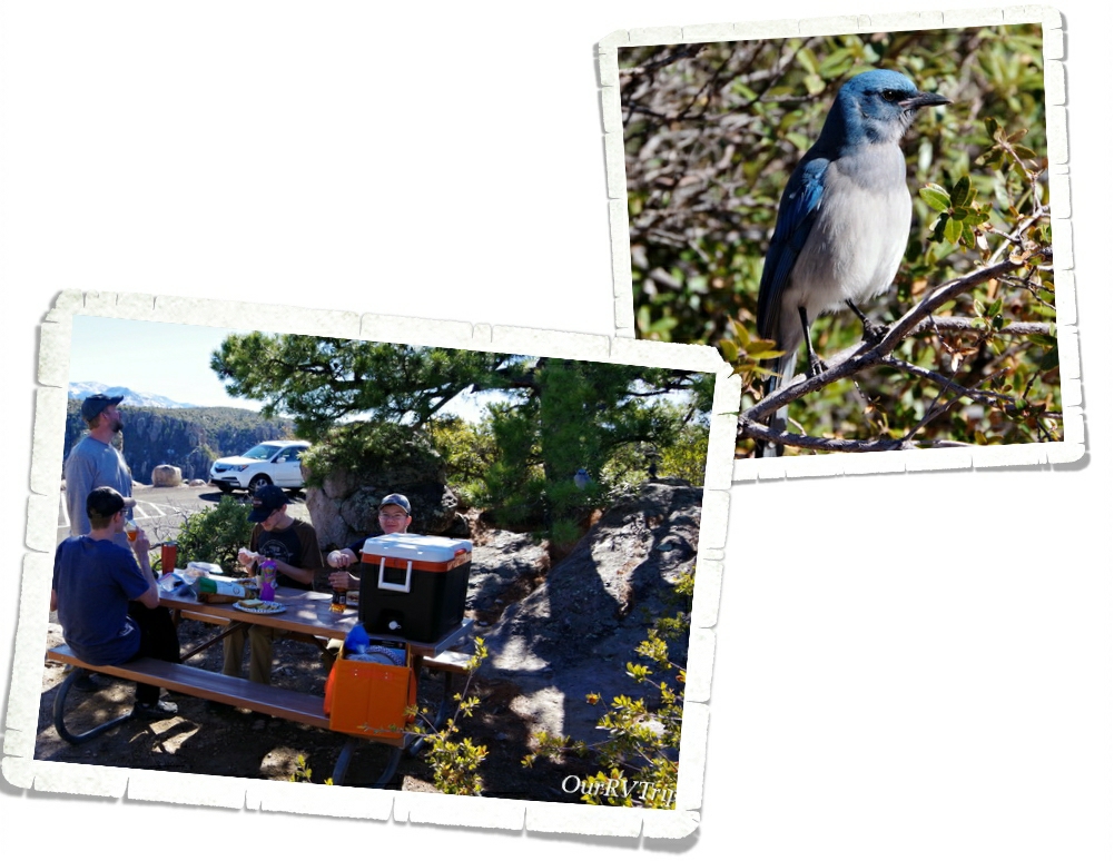
After we finished our hike, we found a picnic table and had a late lunch. The entire time we ate, we had an audience of Mexican Jay birds. They showed up by the dozens and worked so hard at giving us a show so that we’d maybe feed them. We didn’t. We like to keep the wildlife wild. I wanted to feed them though. Man, did they work so hard for a little treat. I felt horrible walking off and not leaving them some food.
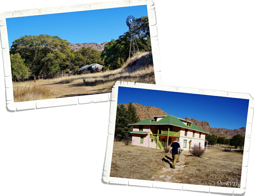
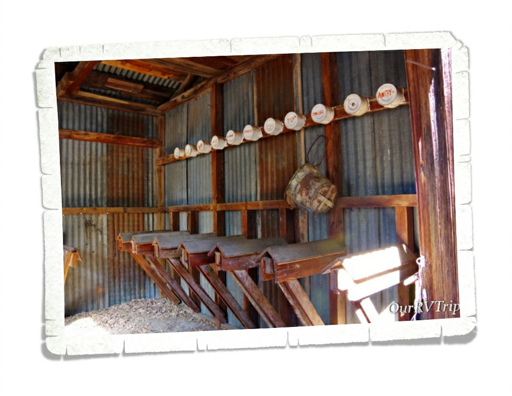
After lunch we headed to the Faraway Ranch which is also protected on the Chiricahua National Monument lands. In 1877, after the final surrender of the Apache leader Geronimo, a couple (Neil and Emma Erickson) set up a homestead on the land that would become Faraway Ranch. Eventually, the land around the homestead became the Chiricahua Forest Reserve and Neil became it’s first Ranger. He used his home at Faraway Ranch as the Forest Reserve’s headquarters for a time.
In 1917 the Erickson’s daughter, Lillian, decided to invite guests to stay at Faraway Ranch as a vacation to relax. While the guests were there, they could ride horses, explore the nearby rock formations, or even help out on the ranch with cattle chores. Riding horses through the canyons to see the rock formations was the most popular activity.
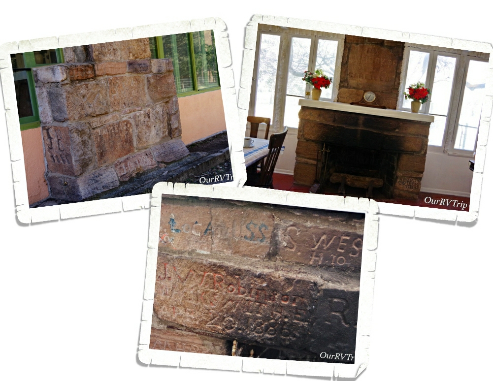
Today, you can take a tour of Faraway Ranch and learn of it’s history. One of my favorite things about the ranch is the unique fireplace. In 1885-1886 an encampment of Buffalo Soldiers was set up not far from the ranch to help protect the area. While there, the soldiers built a stone monument where many of them would carve their name. After the troops left, the monument started to disappear form weather and from settlers carrying the stones off to use. In the 1920s, Ed Riggs (Lillian’s husband), salvaged quite a few of the stones and made a fireplace with them in the ranch house to help preserve them.
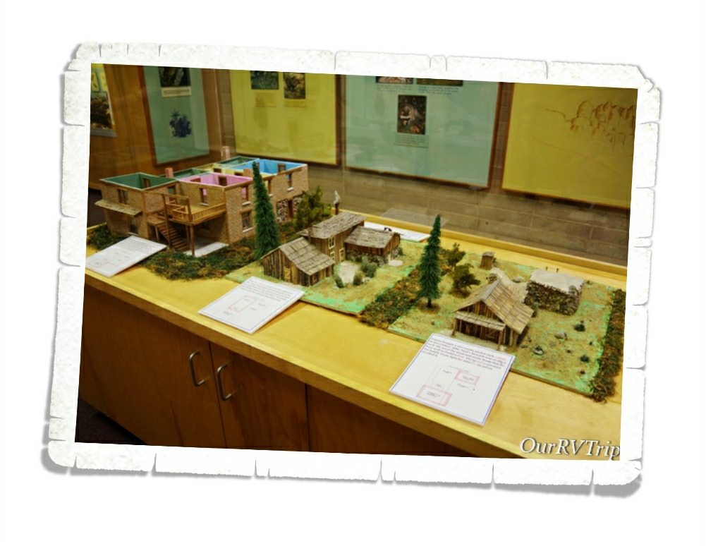
In the visitor center, you can see how the Faraway Ranch changed and evolved over the years. When the Erickson family first settled there, it was a small rustic cabin with a stronghold in the back to protect from Apache attacks. Over time, as the role of the ranch changed so did it’s size and shape.
We really loved this park! It was totally unexpected and amazing. If you’re ever anywhere near Chiricahua National Monument…you need to go. It’s so worth the drive. Not far from it is Fort Bowie National Monument. We had planned to visit that one on the same day, but we spent so much time at Chiricahua that we ran out of daylight and had to pass on it. Unfortunately, we never made it back to the Fort. But, we will definitely go back to the area someday.
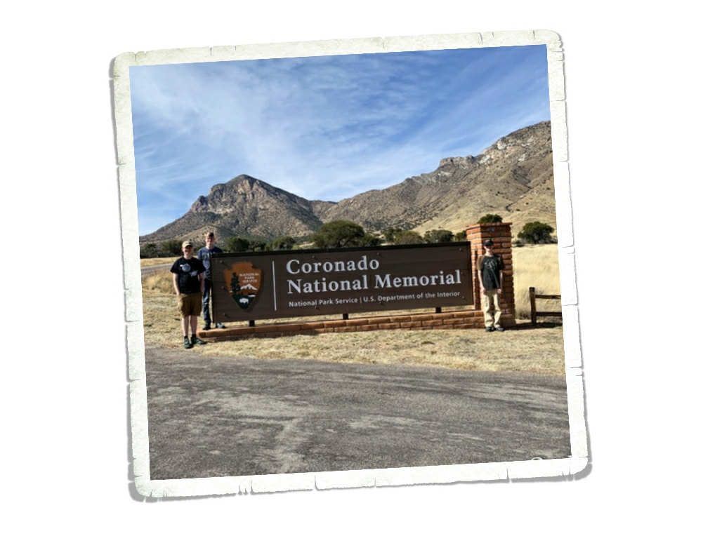
We’re on this whole National Park Tour…that includes Memorials, Monuments, Battlefields, Historical Sites….you get the point. So when I found Coronado National Monument I immediately added it to our list without much of a thought. It wasn’t until later that I realized the park hugs the border with Mexico and might be a bit dangerous to visit. We’ve been very close to the border on several occasions. We even crossed it once in Big Bend National Park to go to the small town Bouquillas to get some lunch and look around. Safety really depends on where along the border you are. This particular spot along the border is very close to a huge military station so we felt safe-ish. We saw so many border agents driving around…in fact, we saw several border agents every single time we’d leave the park we were staying in. But, we’ve heard all kinds of stories (first hand accounts) that kept us very on edge the whole time we were at Coronado National Memorial.
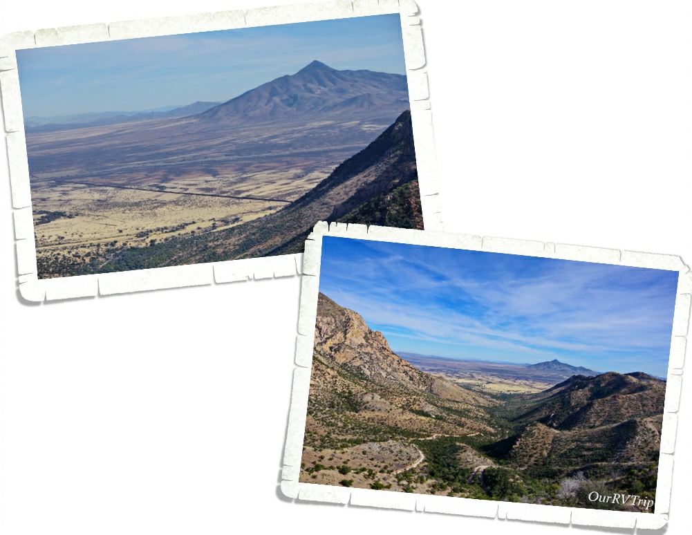
Coronado National Memorial was originally designated Coronado International Memorial when the United States came to an agreement with Mexico as a sign of goodwill and cooperation. Mexico never developed their side of the park though so in 1952 Congress changed the designation to Coronado National Memorial. In the above left picture, you can see the border between the US and Mexico. It looks like a long dark line.
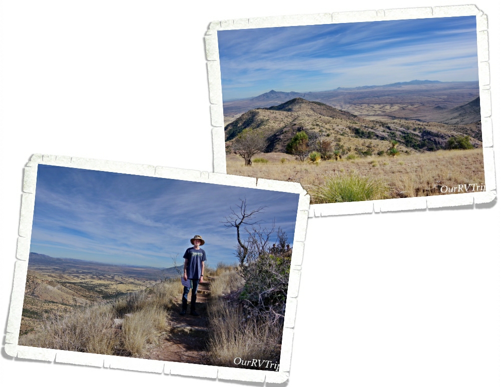
We hiked the Coronado Peak Trail while we were there. It starts at Montezuma Pass and takes you up 300 feet to Coronado Peak. It was a quick easy hike that gave us some breathtaking views of Sonora, Mexico right across the border.
Coronado National Memorial commemorates the 1540 expedition of Francisco Vásquez de Coronado as the first known Europeans to visit the United States. Coronado’s expedition consisted of around 300 Europeans, several Franciscan priests, well over 1,000 Aztec/Mexica allies and “scores of servants and enslaved peoples” along with as many as 6,000 head of livestock (cattle and sheep) and supplies. The main purpose of this Memorial is to interpret Coronado’s two year expedition to find the fabled Seven Cities of Cibola and explore unknown territories.
Coronado thought he was going to find cities laden with gold and priceless jewels. What he found when he finally reached his first Zuni Pueblo was a farming community. He eventually made it all the way up to what is known today as Salina, Kansas before he gave up and went back to Mexico. The tribe that was helping him thought he was looking for bison so they took him to Kansas where there were thousands of bison.
Coronado’s dreams of fame and fortune disappeared with his failure to fine the Seven Cities of Cibola. He died ten years after his return in relative obscurity. His expedition failed, but actually, his two year exploration was like a pebble in a pond setting ripples into motion. Not only did he change the Native Tribe’s religion by their interactions with the Franciscan priests, Coronado’s expedition opened the door for Spanish explorers and missionaries to start colonizing the Southwest.
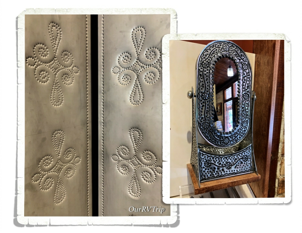
The Spanish brought with them the technique of decorating tin with small holes that will allow light to shine through. Punched tin is still a common decoration of the American Southwest and is still being produced in both Mexico and the Southwest.
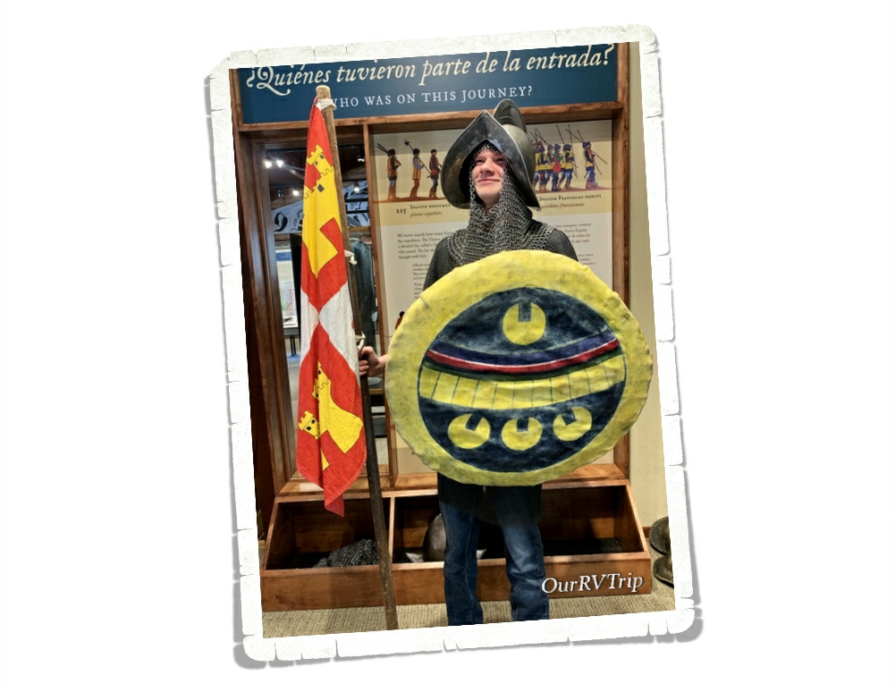
Well Guys, I think I’m going to pause here and finish up in the next post so stay tuned! I’ll leave you with a picture of Nicholas dressed up and being a bit silly at the Coronado National Monument Visitor Center.
See y’all down the road!
#NationalParkTour
