Month: August 2020

Waiting For Spring

Waiting For Spring

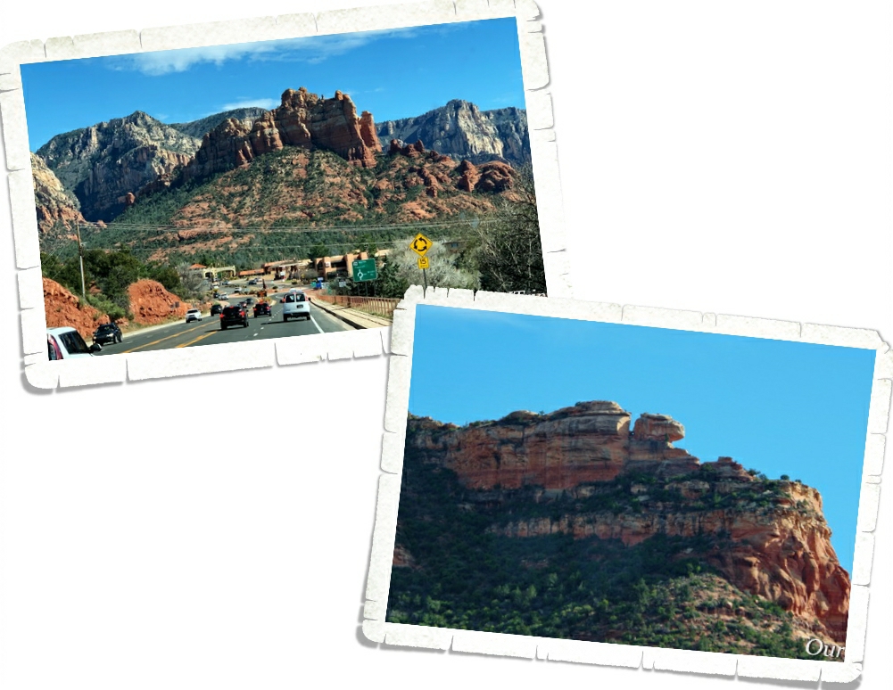
Hey Guys!! Our original plan was to hop our way up Arizona, hitting a few of our favorite state parks. Unfortunately, I waited a week or two too long to try to reserve them and we couldn’t get in without site hopping each day…and that’s such a pain. So, we headed up to one of our all time favorite areas of Arizona…Sedona…to park our home-on-wheels for two whole months as we waited for Spring.

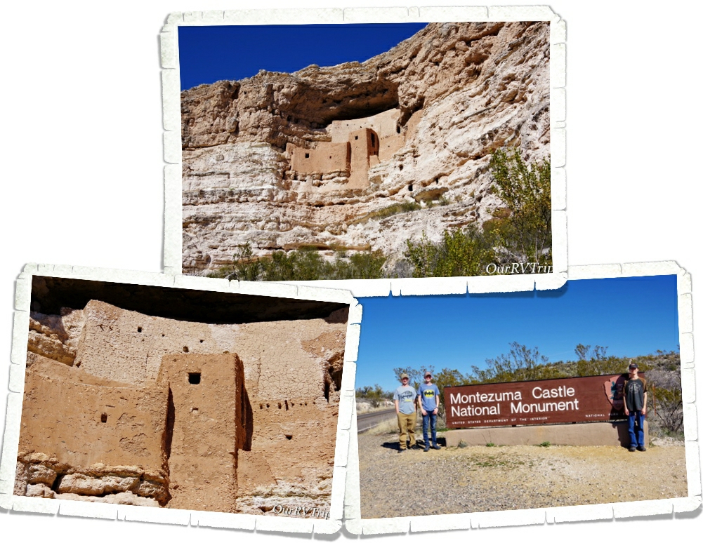
We’ve been to Montezuma Castle National Monument before, but it’s been a few years so we decided to visit it again since we were right down the road from it. And as one of our Nation’s first National Parks…it’s worth revisiting.

President Theodore Roosevelt signed the Antiquities Act in Dec of 1906 and declared four sites of historical and cultural significance our first four National Monuments. Montezuma Castle was one of those first four.

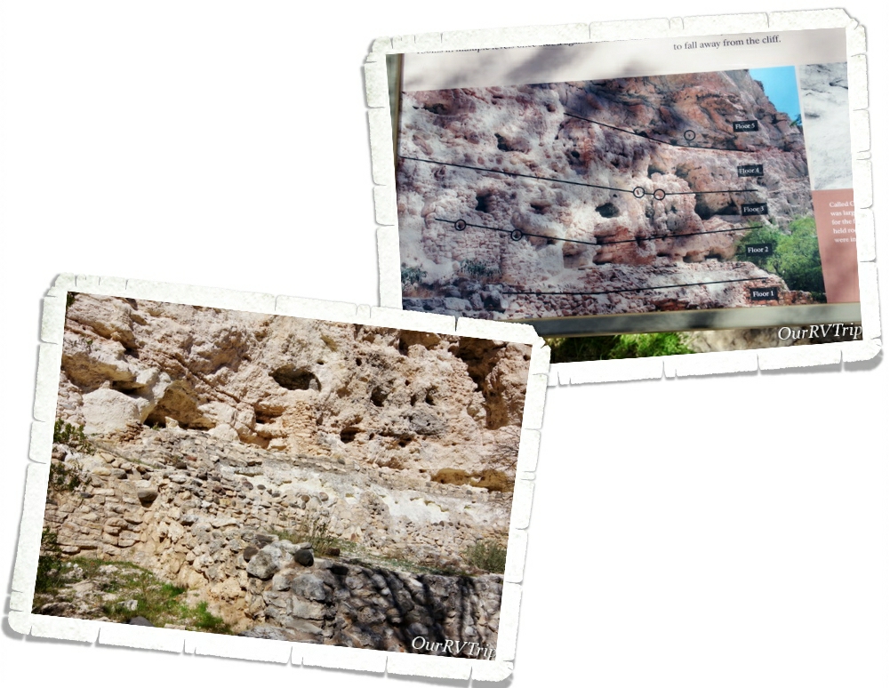
The dwellings that Montezuma Castle National Monument protects and preserves aren’t really a castle. They’re more like…a prehistoric apartment building, built by the Sinagua people sometime between 1100 and 1425 AD.

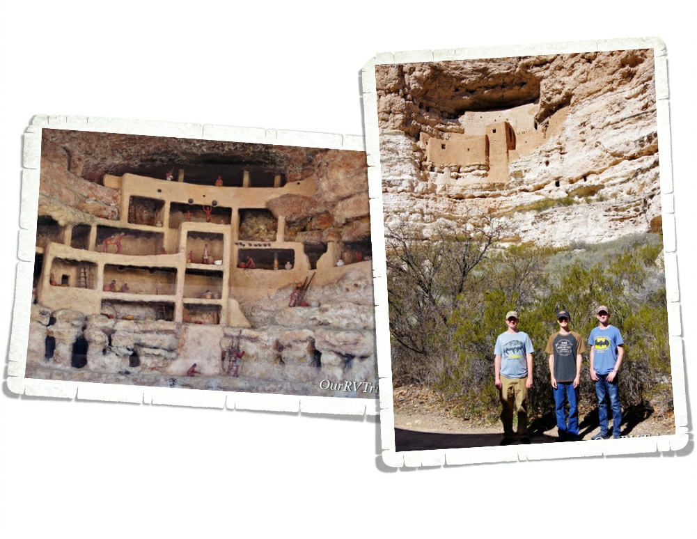
Montezuma Castle sits in a recess in a limestone wall about 90 feet above the ground. When the Monument first opened, you could actually climb up a series of ladders into the Castle. Due to the damage visitors were causing, access to the Castle was discontinued. Now, you’ll have to check out the diorama they have set up to see what the inside of the Castle looks like.

Sometimes when you’re looking at ancient dwellings, it’s hard to see what it once was. I love that they put this sign (pic on the above right) up to make it easier to see what used to be there. The Sinagua people lived and farmed here over 600 years ago.

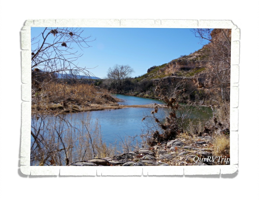
The Sinagua people built their homes near Beaver Creek which floods every year during monsoon season. They built their homes higher to not only protect themselves from other tribes, but also to protect their homes form the yearly flooding. The Castle housed around 40 or so people and consisted of 20 rooms. There’s another section of the wall that the Castle is built on that has evidence of an even larger dwelling.

We had so much fun revisiting this National Monument and seeing all of the improvements the park has made!

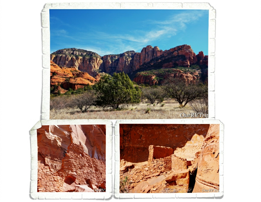
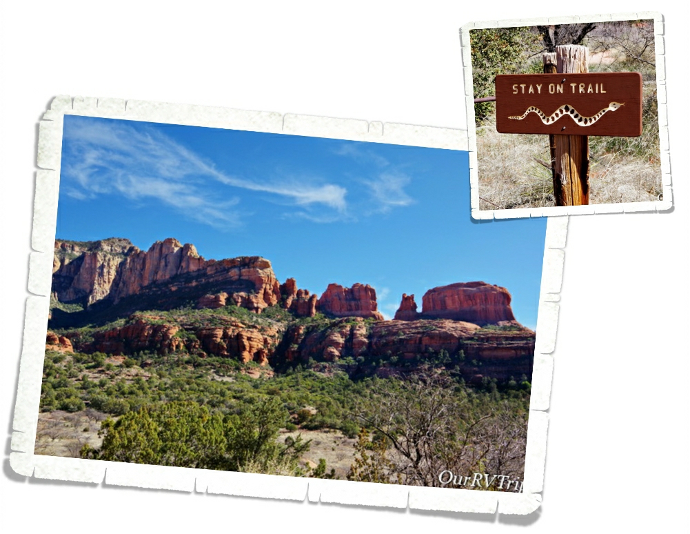
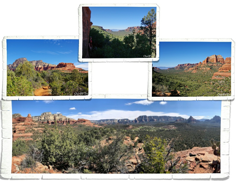
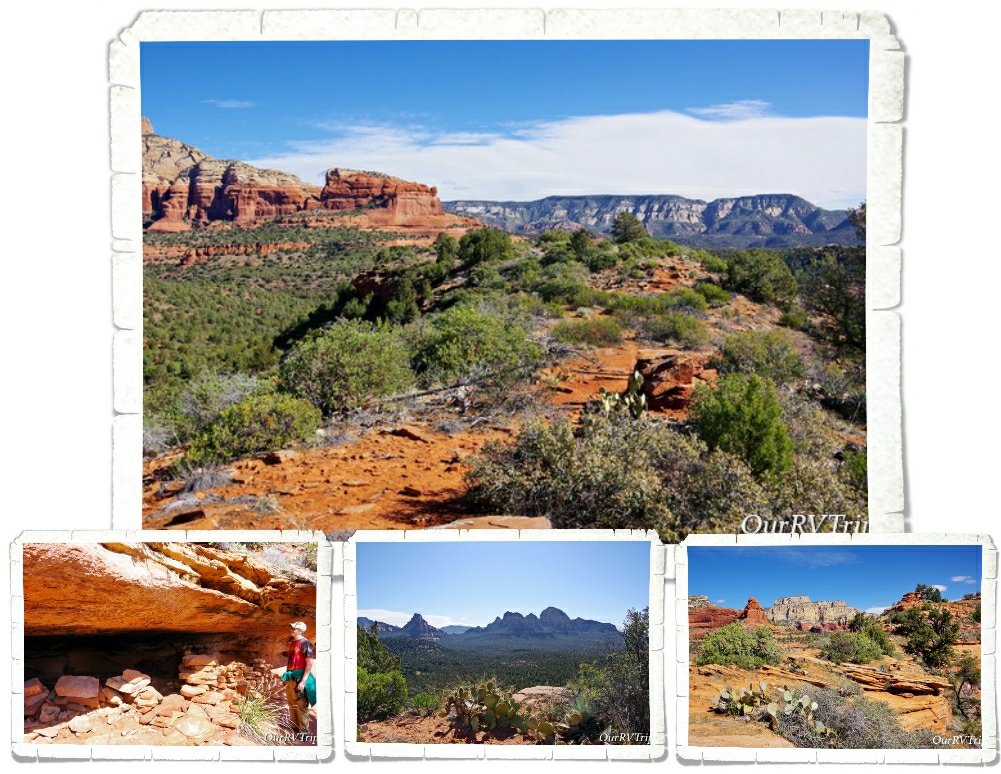
I stumbled on the Palatki Red Cliffs Heritage Site as I was looking for a specific trailhead in Sedona. When I did some research on it, I found that it’s run by the US Forest Service. Sedona is known for it’s gorgeous red rocks, and the area Palatki is in, is no different. We took just as many pictures of the surrounding area as we did of the ancient dwellings and rock art!

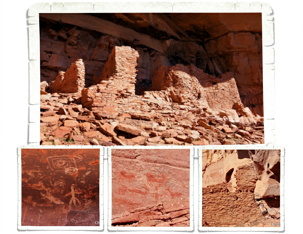
There are two ancient Sinagua dwellings at Palatki. The West Alcove has deteriorated to the point that it’s no longer safe to let people explore it. You do get up close to East Alcove, but you don’t get to go into it. East Alcove is a nine room dwelling that is tucked up under an alcove and faces south. If you think about where they built their homes…it’s really pretty smart. The overhang of the alcove provided protection from the rain (even during very hard rain) and having them face South would provide more sun exposure during the coldest part of the year.

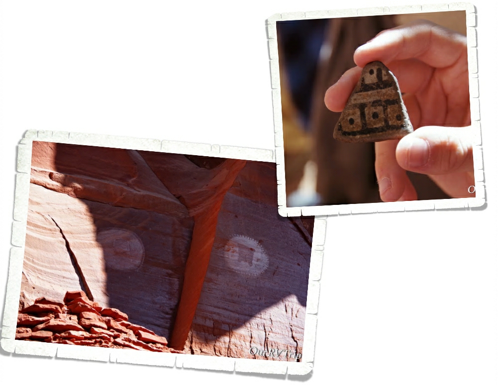
One of the coolest things about visiting Palatki is that we got to hold some of the pottery that was found there. Another cool thing…and the first time we’d seen anything like it…are the two family shields or clan signs. They’re not sure if the two round shield like pictographs indicate a family or if they’re a clan sign. They do know that it tells who the dwellings belonged to. Scientist believe that two extended families called the two alcove dwellings home.

Snakes really aren’t my thing. Every time I see one of these warning signs, I get super paranoid about nope-ropes. I’m already hyper-aware of all of the places you usually find a danger-noodle… I spent most of the time at Palatki worrying about snakes. When we were there, it was almost Spring which is when most of the baby danger-noodles are born. Did you know that mother snakes are more aggressive and will chase you without being provoked? Totally not a fan of nope-ropes.

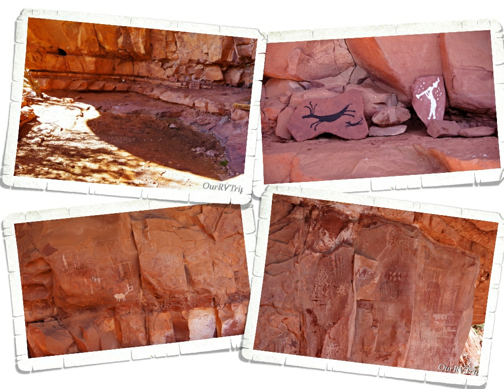
The other thing you’ll find at Palatki is The Grotto. Depending on when you go, you might see some water in the pool here, but what’s really neat about The Grotto is all of the rock art. There are pictographs from the Paleo Period (11,000 – 9,000 BC) and the Archaic Period (9,000 BC to AD 600). The walls are covered with pictographs! One of the Rangers took some of the materials that they believe was originally used to make the colors for the pictographs and made some new ones so we can see how bright the rock art was when it was new. You can see the new rock art in the top right picture of the above gallery.

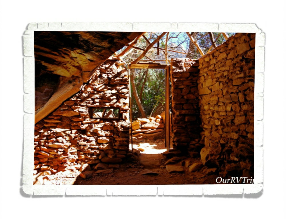
The first homesteader in the area was Charles D. Willard. He took materials from the various ancient dwellings to build his own home. Charles arrived in 1923 and you can still see the one room structure he stayed in over by The Grotto, where he stayed until his house was completed in 1925. On the same field that the Sinagua people who used to live, Charles planted 500 fruit trees. He sold the property in 1938 and the Forest Service obtained the land in 1975 through a land exchange.

Palatki’s sister site is Honanki Cliffs Dwelling Heritage Site. We found out about it while we were at Palatki and headed over there right after we left Palatki. Honanki is one of the largest cliff dwellings and has the largest most diverse collection of pictographs in Verde Valley. The cliff dwellings found at Honanki were originally two stories tall and were made up of about 40 rooms on the ground floor. Sometime around 1300AD the residents of Honanki started to move on. The Sinagua left Verde Valley in the early 1400s. The Hopi and Zuni can both trace part of their heritage back to the Sinagua.

Sedona, Arizona is one of our favorite places to spend time. There are so many trails to hike in the Sedona area. I think you could do a different hike every week for a year and never have to do the same hike!

We had plans to do so many hikes in the two months we were going to be in the Sedona area. Due to the weather and other circumstances…we only got one of those hikes in. But, Guys…it was an awesome hike!

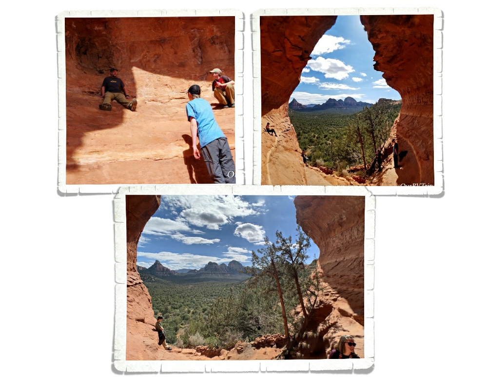
I found this place called the Birthing Cave on Instagram and really wanted to see it for myself. I did some research and found the trailhead in Sedona. I’d read that it was tricky to find. Quite a few people walk right by it because the trail isn’t marked that great. And…we did the same thing. We walked right by the side trail that takes you up to the Birthing Cave.

We found a different trail that turned off in the right direction at around the same distance as the trail was supposed to be… We ended up scrambling up the side of the mesa that the Birthing Cave is in. So…we were on top of it. The views were so good though, that we didn’t care. If we didn’t make it to the cave we were totally ok with it. We were having so much fun we felt like the day was a win no matter what.

We ended up meeting another hiker on top who told us how to get down to the Birthing Cave. Guys, it’s not really a cave. It’s more like an alcove that you can shimmy up the walls of. We got some neat pictures, but if I’m being honest…we had a better time and saw better views from being up on top of the mesa.

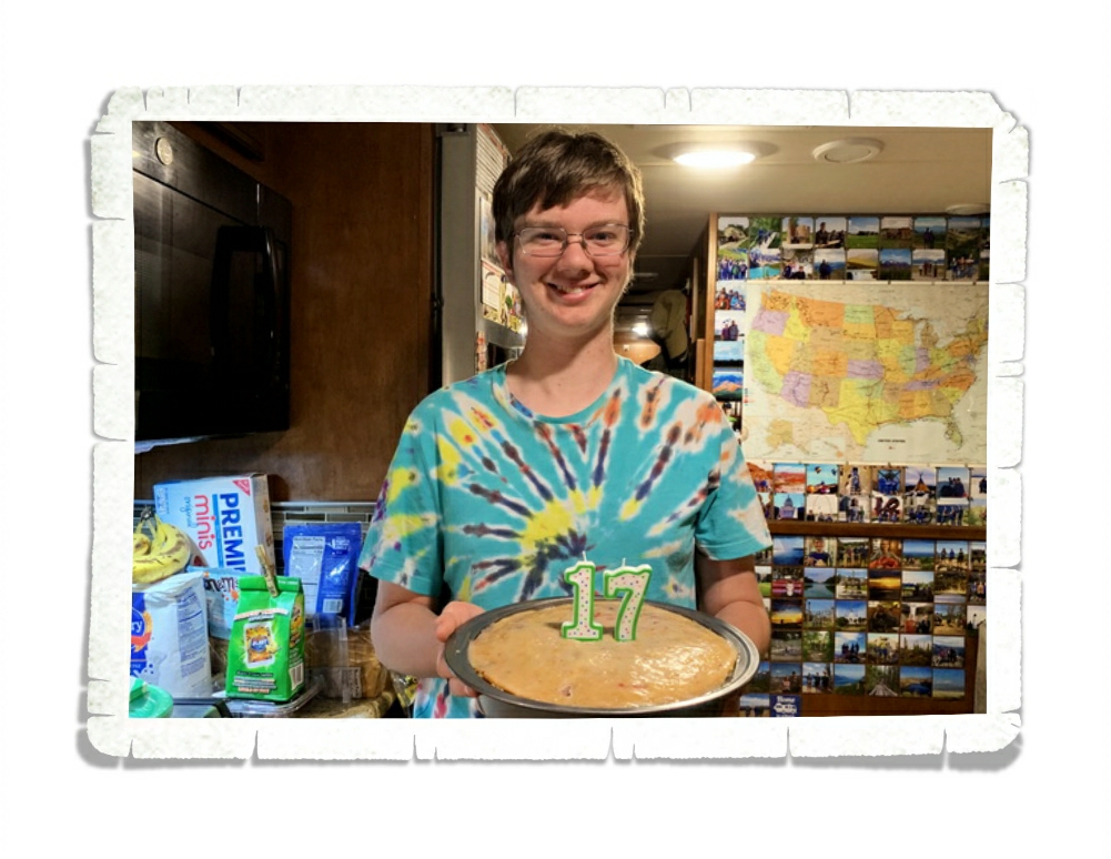
Alex celebrated his 17th birthday! Excuse the mess…we were in the middle of the Covid19 stock up thing. His birthday was a little different this year, but I think he had a good day!

Should we talk foodies? Now, keep in mind we were there for two months…so this was all spread out over the five or six weeks we were there before the Corona Virus thing really hit hard. After that, we continued to support the small local places by getting orders to go.

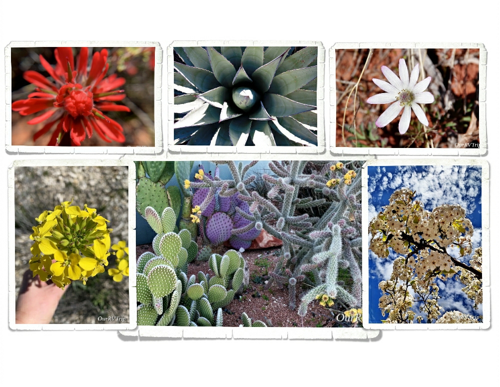
I also found some pretties! It was getting to be that time of the year again! There are so many colors in the desert. Those pops of color are just amazing!!

Around our sixth week in the Sedona area, the Corona Virus hit hard. Our life changed along with everyone else’s in the world. We stopped exploring so we could comply with the “social distancing” that was being requested by our government. The stores were running out of groceries and necessities. And every day we heard about more RV parks closing down. It was pretty stressful. We had to make a decision…do we keep with our reserved schedule or do we try to find a spot to hunker down and stay put until this all clears up?

We decided to keep with our schedule. As I’m writing this, we are planning our first move since the Covid 19 virus thing started. Our next spot is still in Arizona. We’ve been checking with the next place to make sure they’re still open and they have no plans to shut down…so, we’ll head that way. If you know me, you know I’m a planner. We do have a couple of backup plans. So, I guess we’ll see how it goes! If you follow us on Instagram you’ll get more timely updates…our blog posts are usually a month or more behind where we are for safety reasons.

Well Guys, that’s all for now! Even with the “social distancing” we had a great visit to the Sedona area!!

See y’all down the road!

#NationalParkTour
Old Missions and Ghost Towns

Old Missions and Ghost Towns

Hey Guys!! This is the last post for our Benson, Arizona area adventures! We spent two weeks in the area and crammed a ton of explorations in and still didn’t get to everything on our list.

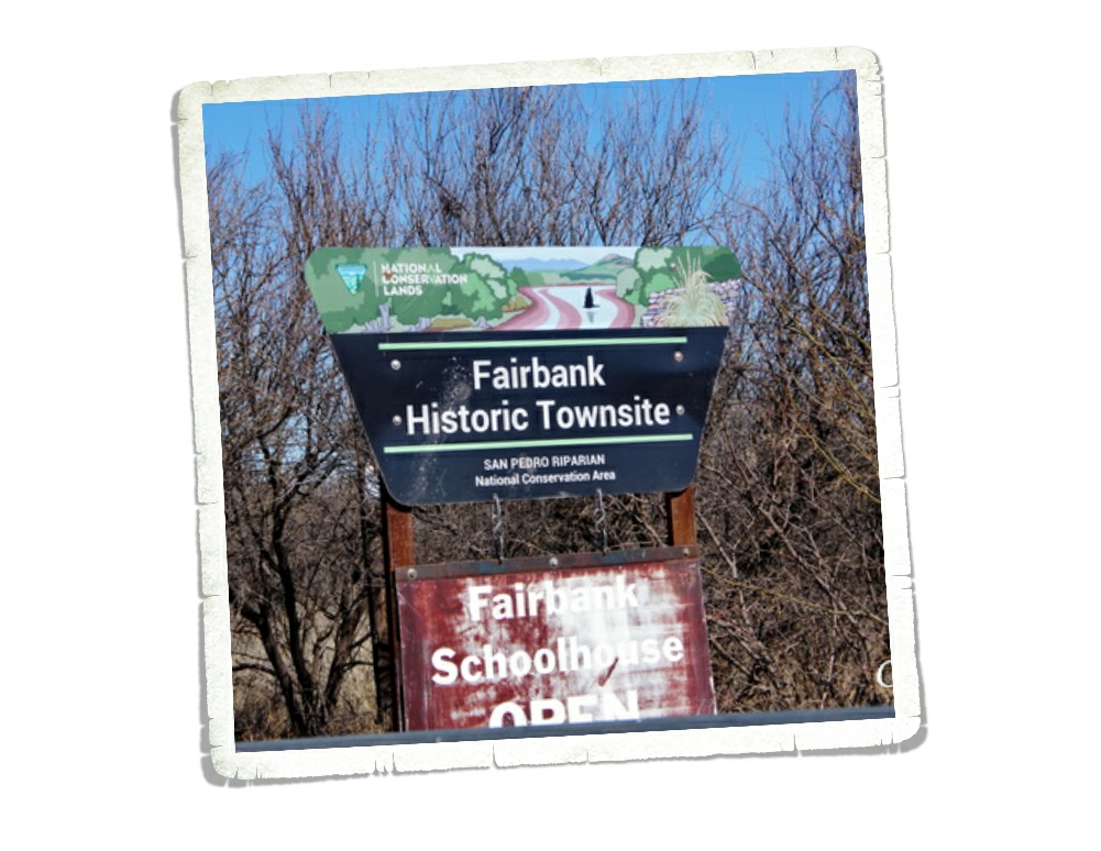
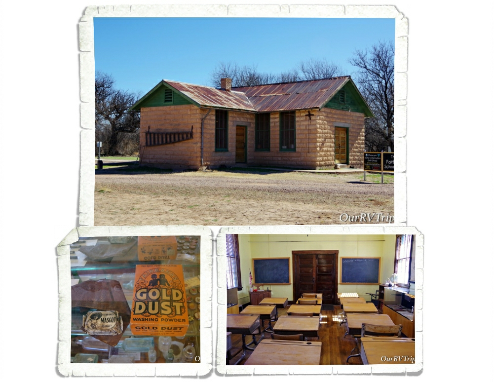
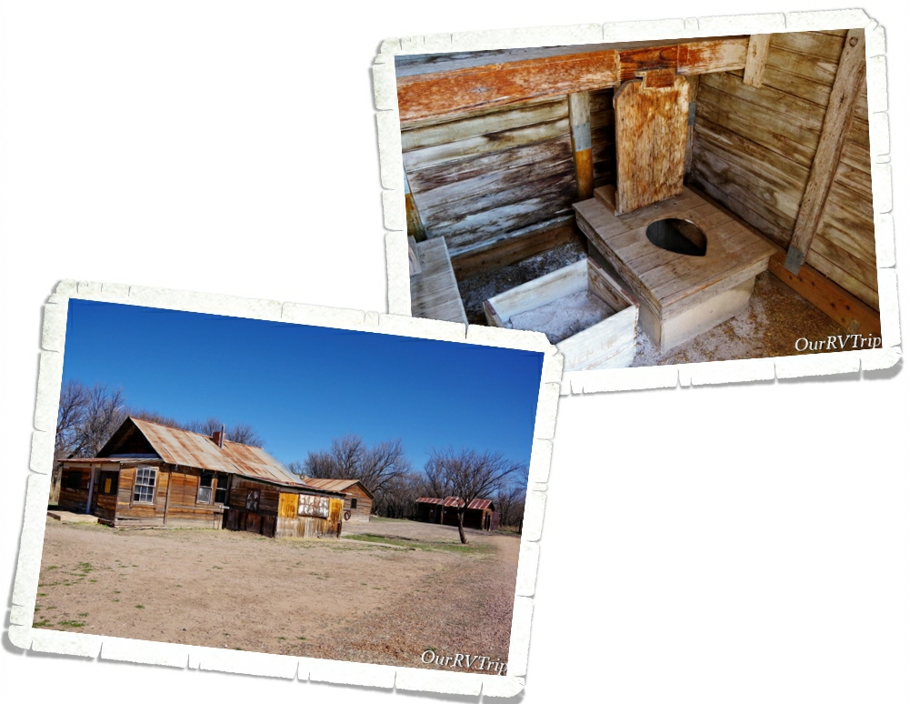
We’re always up for a ghost town! I found out about Fairbank from a brochure I found at one of the stores in Benson and it immediately went on our list. Fairbank is part of the San Pedro Riparian National Conservation Area and is run by the BLM. It’s pretty much out in the middle of nowhere.

There’s a small visitor center/museum set up in the old schoolhouse. When a volunteer is available to man it, the schoolhouse is open. We lucked out and it was open the morning we went. It’s a neat little schoolhouse. There are all kinds of trinkets and memorabilia that’s been found in Fairbank on display.

It’s hard to believe Fairbank was once one of the largest cities in the West. Three different railroad lines passed through Fairbank plus it was the closest railroad stop to the still famous town of Tombstone. First settled in 1881, Fairbank grew to a booming population of 15,000 residents by 1882. When the Tombstone mines closed due to flooding in 1886, Fairbank started its decline.

Fairbank had full-time residents until the early 1970s. They kept a small general store going but eventually, everyone moved away and the BLM acquired the land in 1986. There has been some restoration of a few of the buildings. They’re hoping to eventually restore the general store and the saloon. We had a fun time walking around looking at the buildings…imagining what life would have been like there when it was booming.

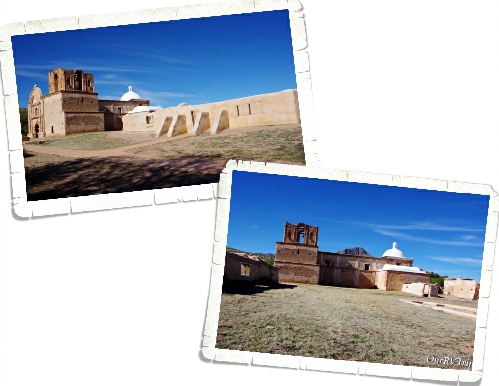
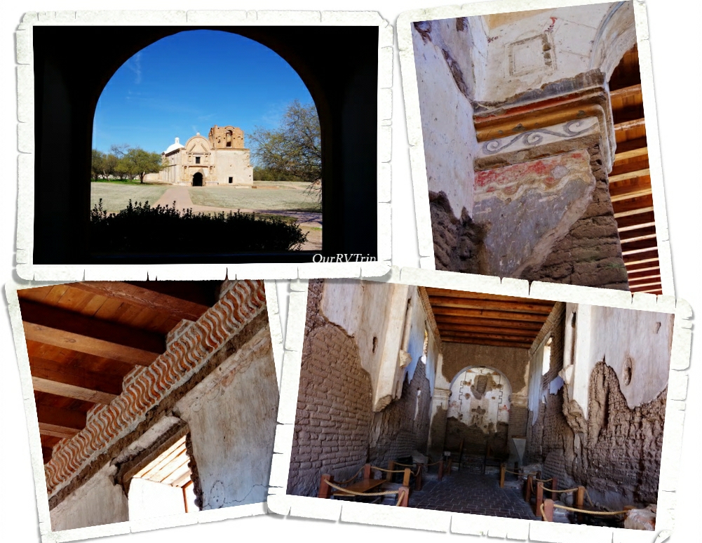
Tumacácori National Historical Park consists of about 360 acres and is split into three separate units. Each unit protects the ruins of a Spanish mission community. Two of the units are in such disrepair that they’re closed to the public and only available for private tours through the winter. We only made it to the main park to see Mission San Jose Tumacácori.

The very first Mission San Jose Tumacácori was built in January 1691 by the Spanish Jesuit padre Eusebio Francisco Kino and was the very first Jesuit mission in Arizona. Due to a rebellion in 1751, the mission was moved and rebuilt.

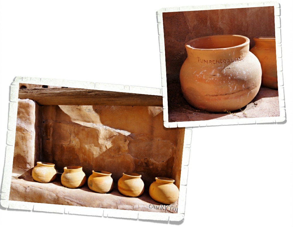
Part of the granary, where they kept the food, still stands. They’ve put some big pots in it to give you an idea of what it would have looked like while it was being used. I thought it was smart that there was an indention in the shelf to keep each pot in place.

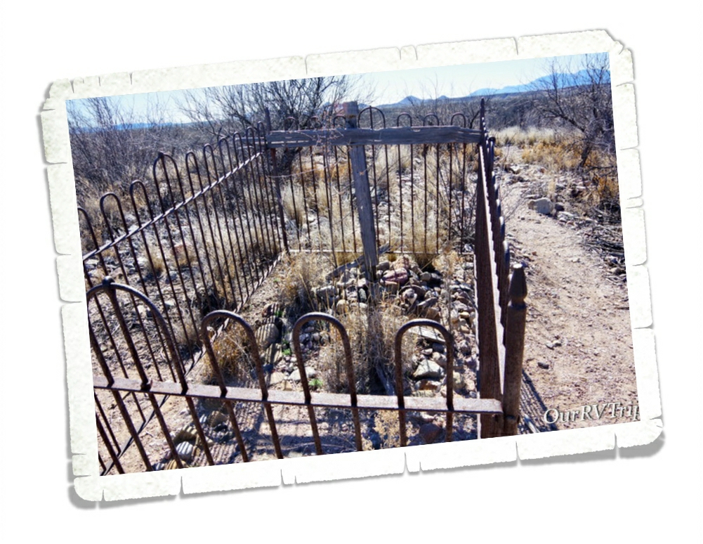
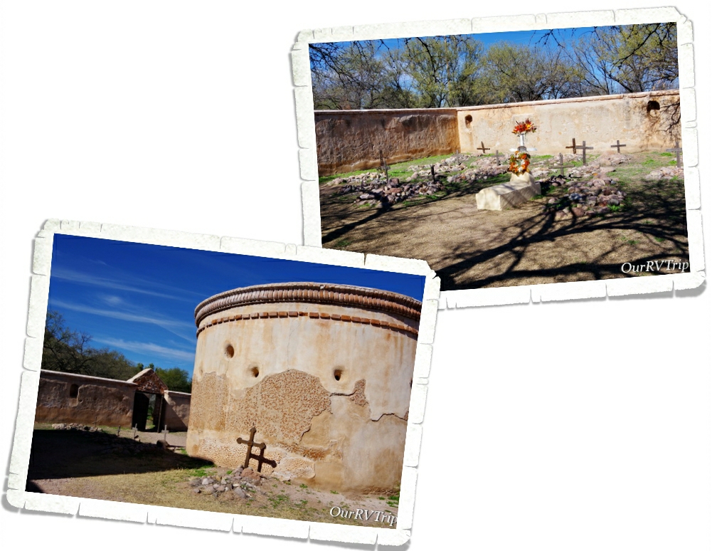
You can also find the ruins of a small cemetery and a mortuary chapel on the grounds. I found the mortuary chapel interesting…we’ve been to several missions before, but had never seen a mortuary chapel before.

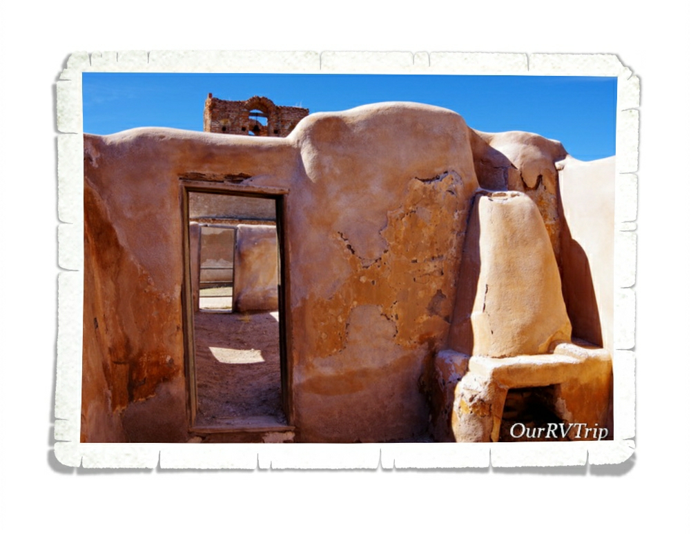
Before the Spanish arrived, this land was home to the O’odham. The Spanish called the ones that lived near the river Pima and the ones that lived in the desert Papago. The O’odham were farmers and excellent basket weavers. You can see a reproduction of a traditional O’odham home (called a ki) on the park grounds as well. The O’odham were a peaceful people unless they had to defend their homes…they would spend the next one hundred years in an uneasy and often times violent relationship with those that called the mission home.

In 1768 the Jesuits were replaced by Franciscan Catholics due to a political change. The Franciscans started to redecorate the mission and build a much larger church in 1880. They worked on the new church for twenty years, but never completely finished. The new, bigger…more grand church was only used until 1828. At that time, the Mexican government forced all Spanish born settlers out of their territory…this included the mission’s last resident priest.

In 1848, following the Mexican-American war, the mission was completely closed and the last residents were forced to leave. The entire area became the property of America in 1853 during the Gadsden Purchase when land south of the Gila River was transferred to Arizona. The mission sat empty until 1908 when President Theodore Roosevelt declared it Tumacácori National Monument and the NPS started restorations and repairs.

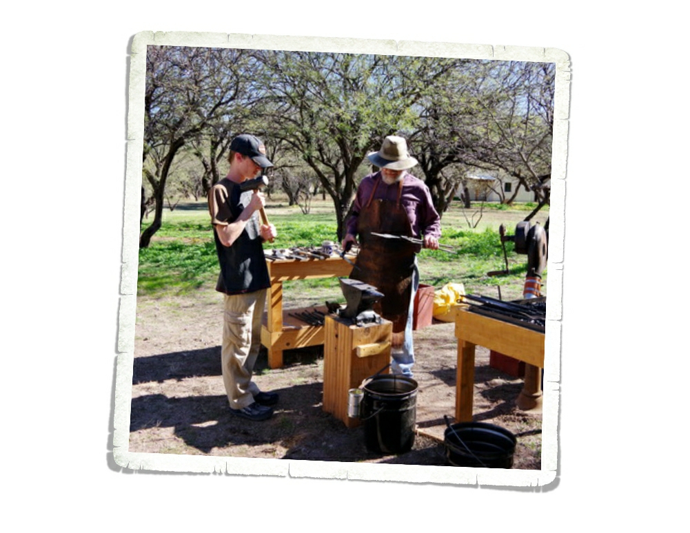
The day we went there were some volunteer demonstrators on the grounds. The boys loved watching and helping the blacksmith. They helped make a coat hook…which we got to keep. It’ll hang in our home someday when we get a sticks-n-bricks. They also had someone making fresh flour tortillas and beans. You could get a sample of beans and salsa rolled in a fresh tortilla. It wasn’t the worst thing. I would have gladly paid for an entire plate of them. We always spend money in the visitor centers when we visit the parks. They need the funds and a portion of every dollar you spend at a park goes to that park.

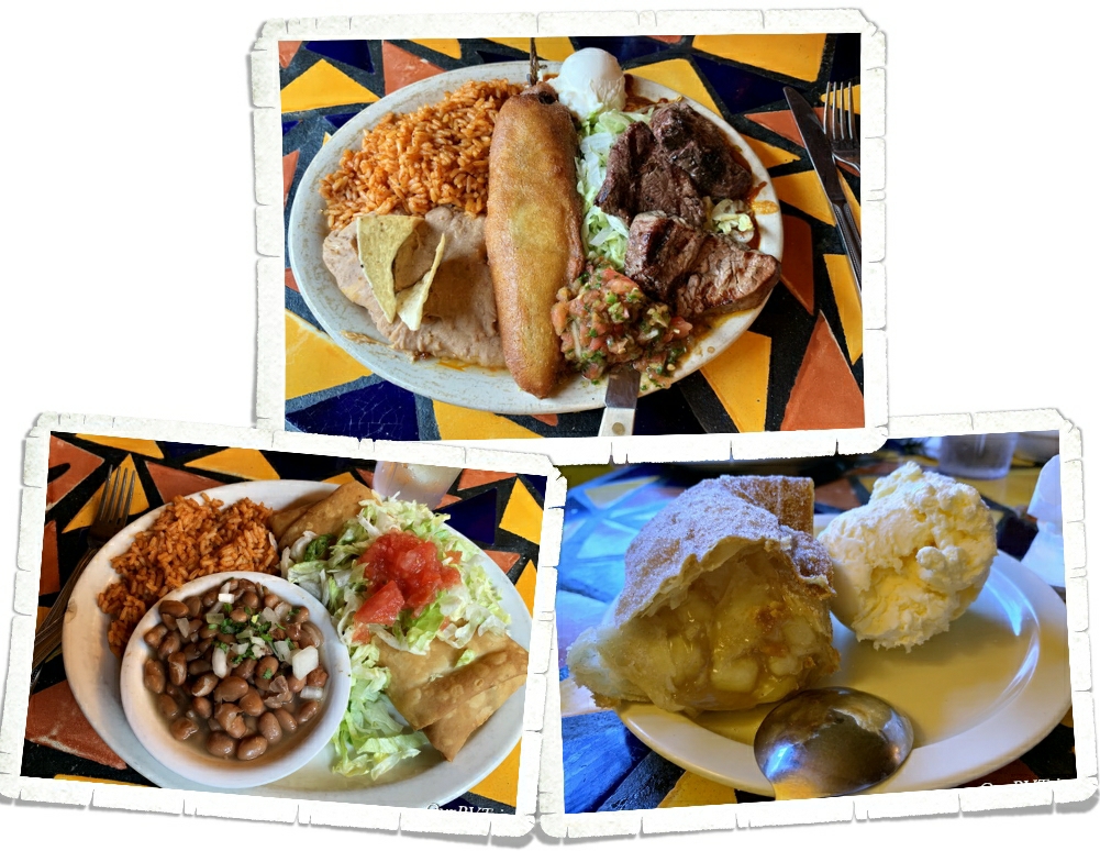
We found a place called Wisdom’s Café just down the road to grab some grub. The food was excellent, but the service was incredibly slow. Unfortunately, it was just our waitress. We saw all of the other workers hustling. If you ever go to Wisdom’s Café make sure you get one of their famous fruit burros! You can get them with or without ice cream, but who are we kidding…I know y’all will get the ice cream!

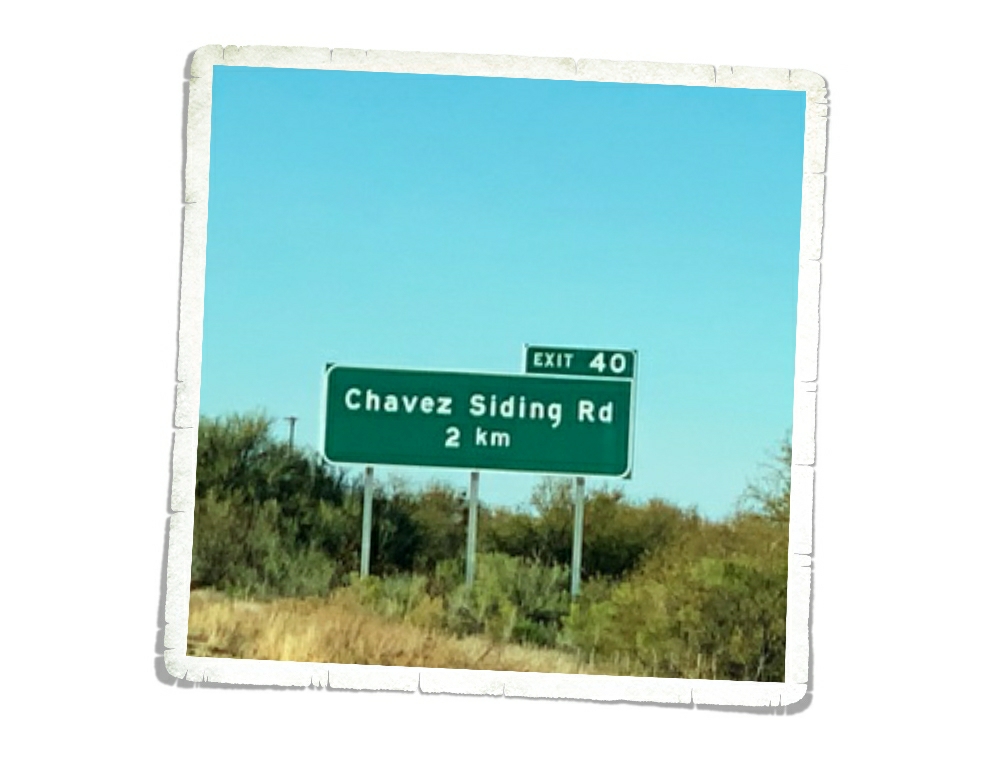
On the way home, we noticed all of the street signs were in kilometers instead of miles. We were pretty close to the border…but we’ve been pretty close to the border quite a few times and had never noticed that before.

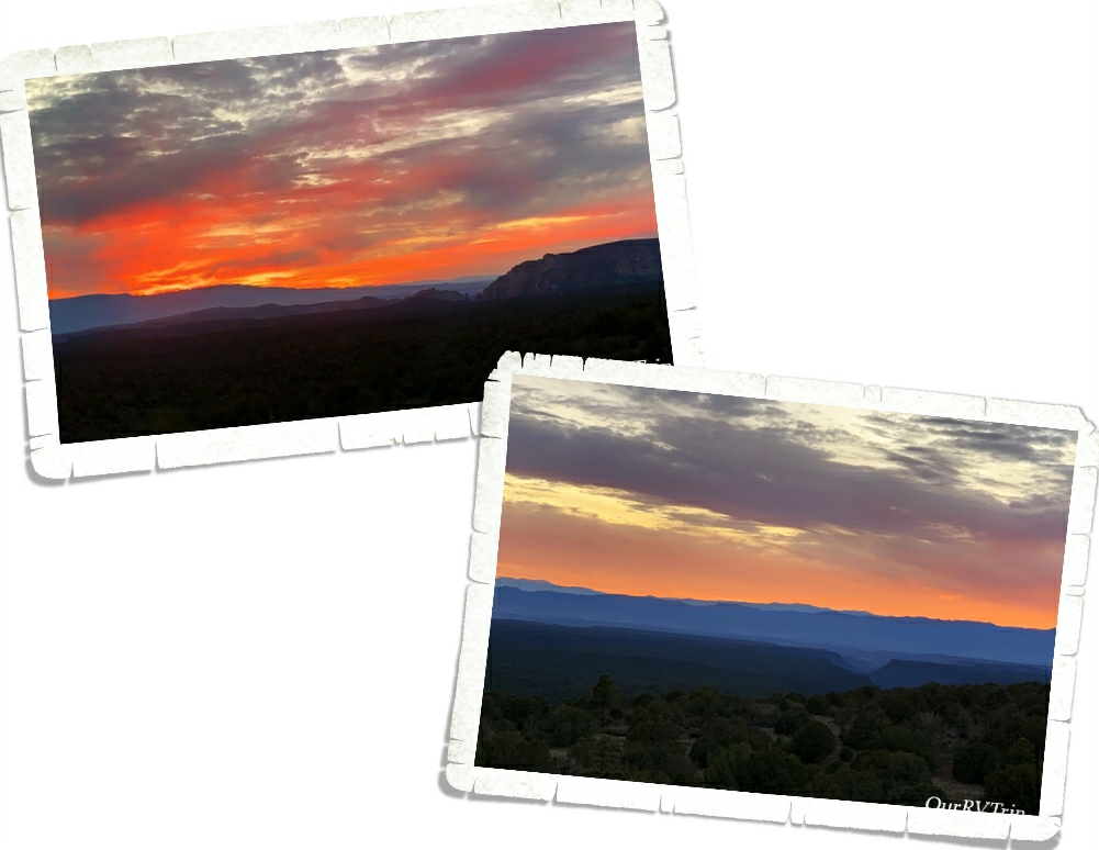
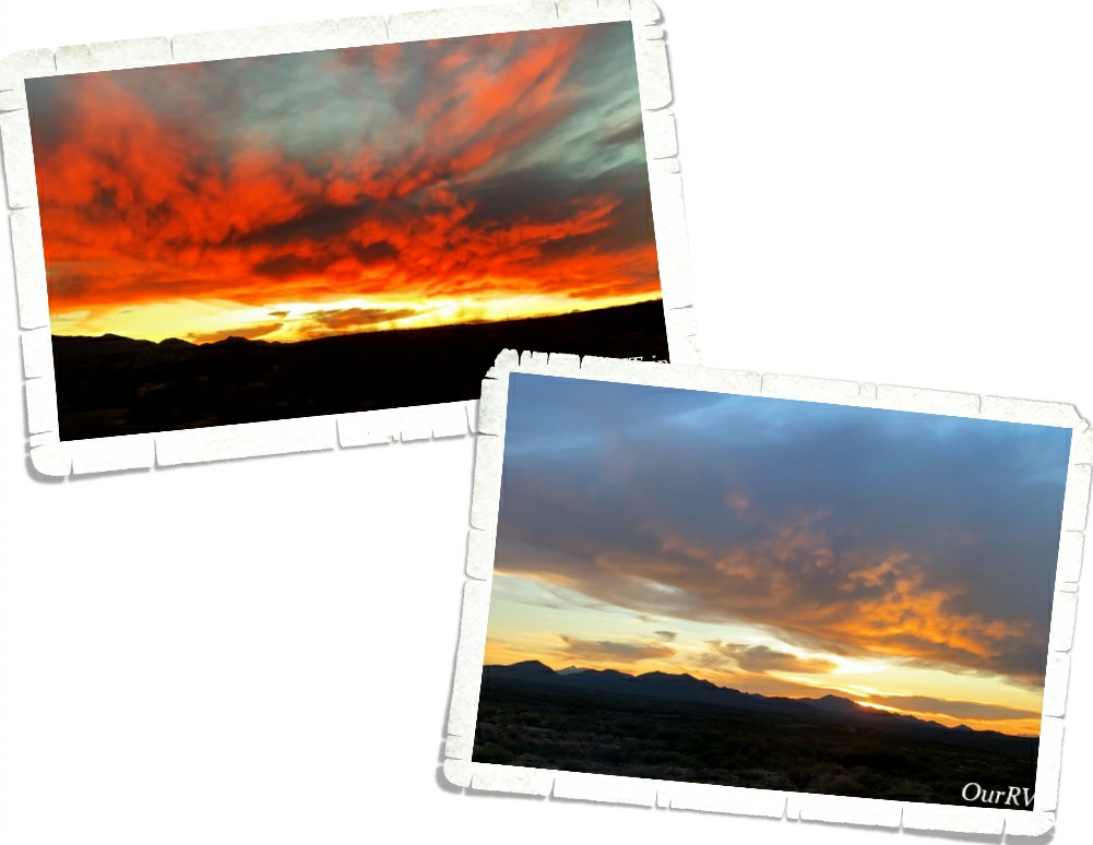
We saw some ah-mazing sunsets while we were in the Benson area! Just truly gorgeous! The southwest doesn’t play around when it comes to sunsets and sunrises.

That’s it Guys!! It took three posts to get through our Benson area adventures! I hope y’all are enjoying seeing some places you might not have known about and maybe you’ve learned a little something too. 🙂

See y’all down the road!

#NationalParkTour
Land Of Standing Up Rocks

Land Of Standing Up Rocks

Hey Guys!! We’re back in the Benson area for this post. We crammed so many adventures into our two weeks I might have to make this area a three post series. This is post number two of our Benson explorations…so lets get into it!
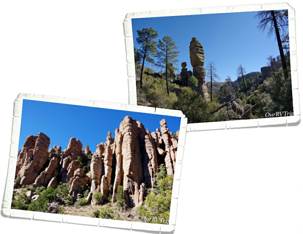
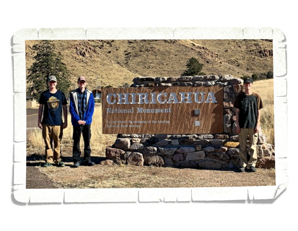
Chiricahau National Monument was established in April of 1924 and protects a small portion (around 12,000 acres) of the Chiricahau Mountains in southeast Arizona. I have to admit, I hadn’t done any research on this park before we went so I didn’t really know what to expect. On the way there we were out in the middle of nowhere with a pretty flat landscape and I kept thinking that this park might be a quick hour or two type of thing and then we’d head to a different park. So, when we rounded a corner and all of a sudden found ourselves in a forest…things got interesting.
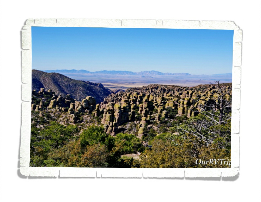
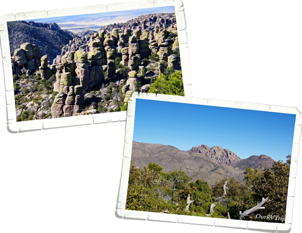
The Chiricahua Apache call this place “The Land Of Standing Up Rocks” because of all of the hoodoos. But Guys, these aren’t your normal hoodoos. The hoodoos, pinnacles, columns, and balanced rocks you’ll find in this park are all made up of rhyolite, a grey rock made up of super heated ash that’s been melted together.

When you drive up into Chiricahua National Monument, you’re driving onto one of the many sky islands of southeastern Arizona. Sky Islands are actually mountain ranges that are isolated from each other due to valleys, deserts, or grasslands that act sort of like barriers. Because of these barriers, plants and animals can become isolated on these sky islands.

Sometime around twenty-seven million years ago the Turkey Creek Volcano erupted and spewed ash over 1,200 square miles. The super heated ash compressed together, cooled, and formed rock formations. The rock formations you see today were created from years and years of weathering and erosion. Scientist have estimated that the Turkey Creek eruption was 1,000 times bigger than the Mount St. Helens eruption in 1980.

While we were driving to the end of the eight mile scenic drive, we realized this park would definitely take the whole day. We did a hike that took us down into the heart of a section of the standing up rock formations and somehow missed a turn and ended up hiking longer than we’d intended. It was a gorgeous day though so we weren’t too irritated by it.

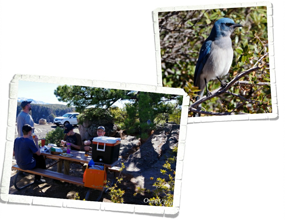
After we finished our hike, we found a picnic table and had a late lunch. The entire time we ate, we had an audience of Mexican Jay birds. They showed up by the dozens and worked so hard at giving us a show so that we’d maybe feed them. We didn’t. We like to keep the wildlife wild. I wanted to feed them though. Man, did they work so hard for a little treat. I felt horrible walking off and not leaving them some food.

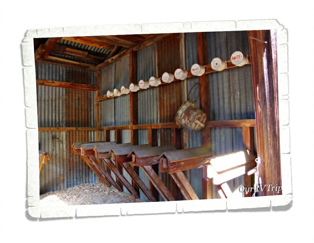
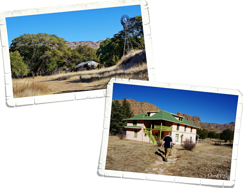
After lunch we headed to the Faraway Ranch which is also protected on the Chiricahua National Monument lands. In 1877, after the final surrender of the Apache leader Geronimo, a couple (Neil and Emma Erickson) set up a homestead on the land that would become Faraway Ranch. Eventually, the land around the homestead became the Chiricahua Forest Reserve and Neil became it’s first Ranger. He used his home at Faraway Ranch as the Forest Reserve’s headquarters for a time.

In 1917 the Erickson’s daughter, Lillian, decided to invite guests to stay at Faraway Ranch as a vacation to relax. While the guests were there, they could ride horses, explore the nearby rock formations, or even help out on the ranch with cattle chores. Riding horses through the canyons to see the rock formations was the most popular activity.

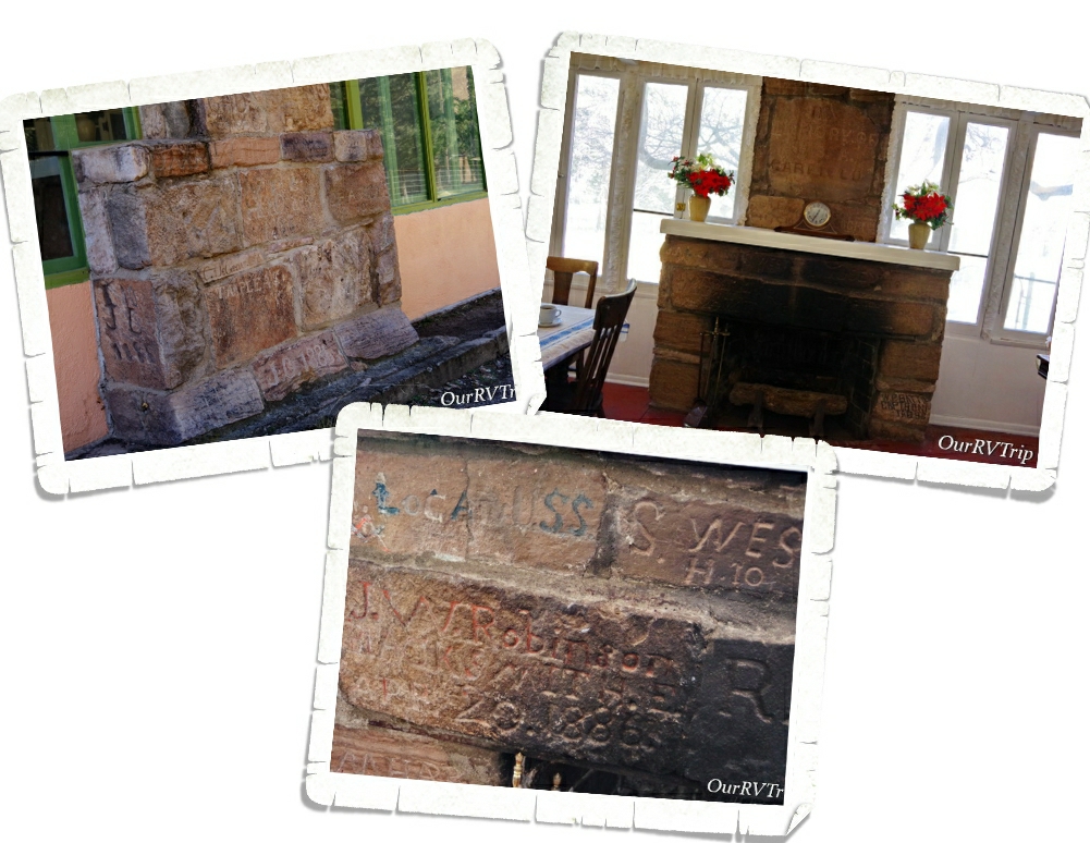
Today, you can take a tour of Faraway Ranch and learn of it’s history. One of my favorite things about the ranch is the unique fireplace. In 1885-1886 an encampment of Buffalo Soldiers was set up not far from the ranch to help protect the area. While there, the soldiers built a stone monument where many of them would carve their name. After the troops left, the monument started to disappear form weather and from settlers carrying the stones off to use. In the 1920s, Ed Riggs (Lillian’s husband), salvaged quite a few of the stones and made a fireplace with them in the ranch house to help preserve them.

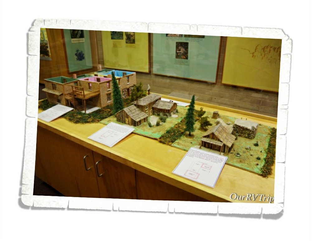
In the visitor center, you can see how the Faraway Ranch changed and evolved over the years. When the Erickson family first settled there, it was a small rustic cabin with a stronghold in the back to protect from Apache attacks. Over time, as the role of the ranch changed so did it’s size and shape.

We really loved this park! It was totally unexpected and amazing. If you’re ever anywhere near Chiricahua National Monument…you need to go. It’s so worth the drive. Not far from it is Fort Bowie National Monument. We had planned to visit that one on the same day, but we spent so much time at Chiricahua that we ran out of daylight and had to pass on it. Unfortunately, we never made it back to the Fort. But, we will definitely go back to the area someday.

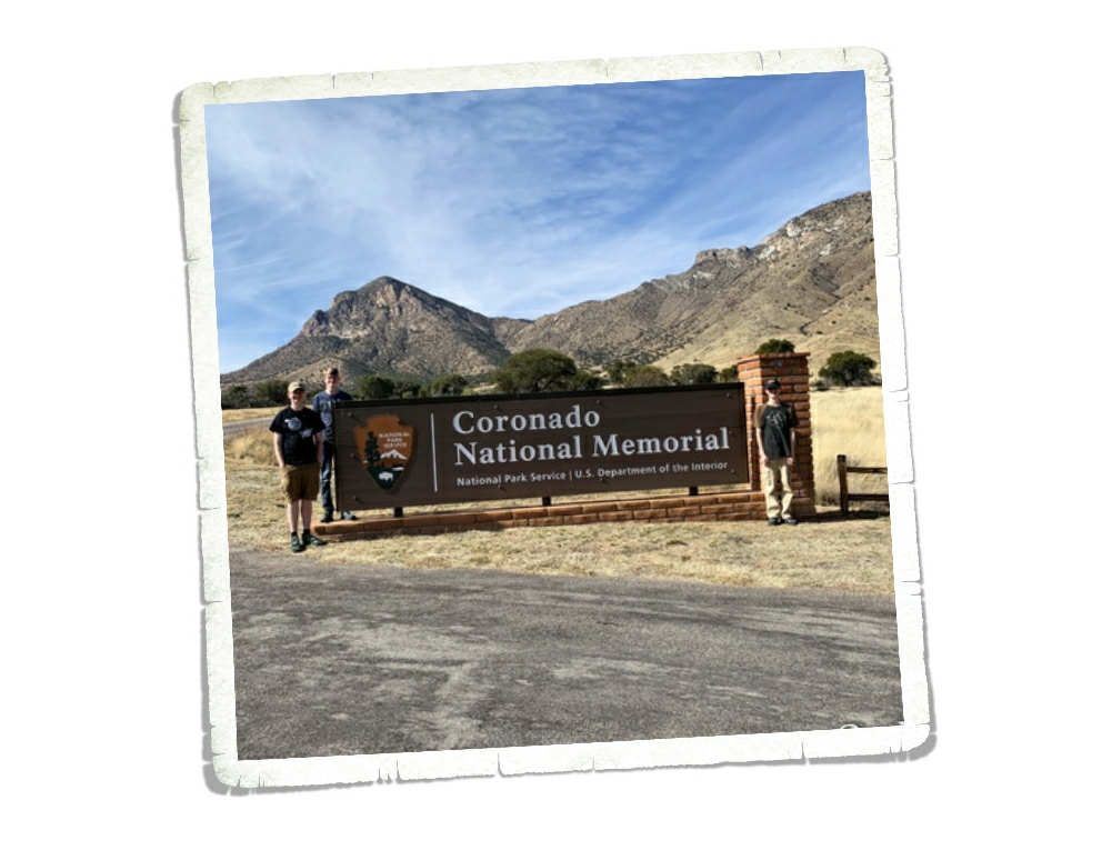
We’re on this whole National Park Tour…that includes Memorials, Monuments, Battlefields, Historical Sites….you get the point. So when I found Coronado National Monument I immediately added it to our list without much of a thought. It wasn’t until later that I realized the park hugs the border with Mexico and might be a bit dangerous to visit. We’ve been very close to the border on several occasions. We even crossed it once in Big Bend National Park to go to the small town Bouquillas to get some lunch and look around. Safety really depends on where along the border you are. This particular spot along the border is very close to a huge military station so we felt safe-ish. We saw so many border agents driving around…in fact, we saw several border agents every single time we’d leave the park we were staying in. But, we’ve heard all kinds of stories (first hand accounts) that kept us very on edge the whole time we were at Coronado National Memorial.

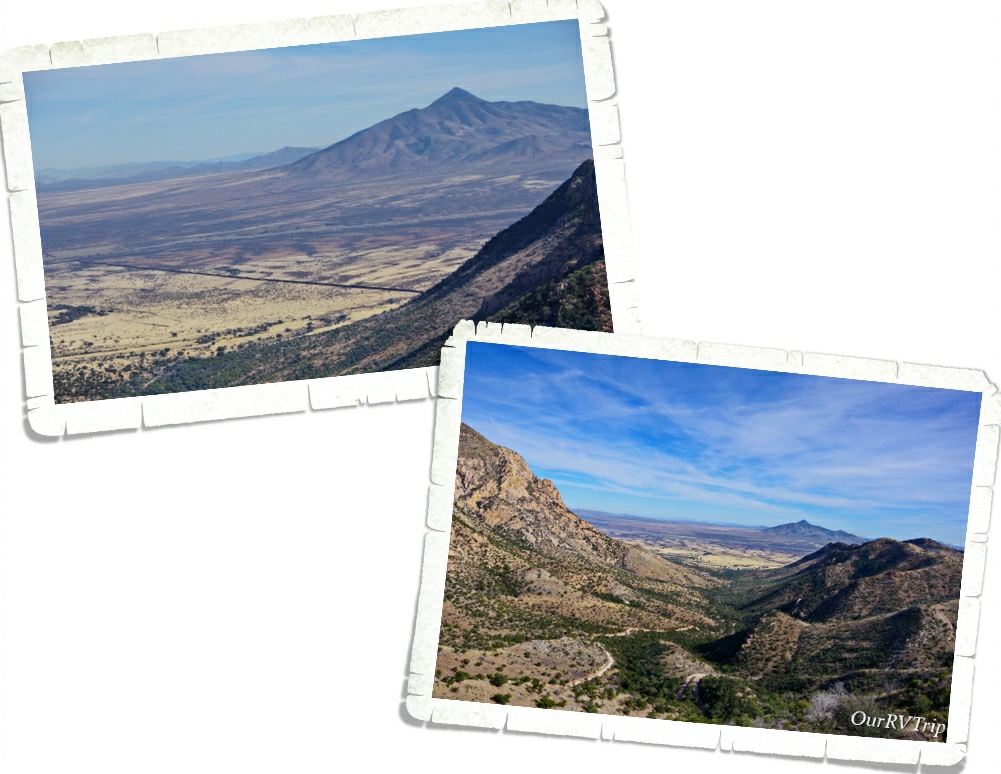
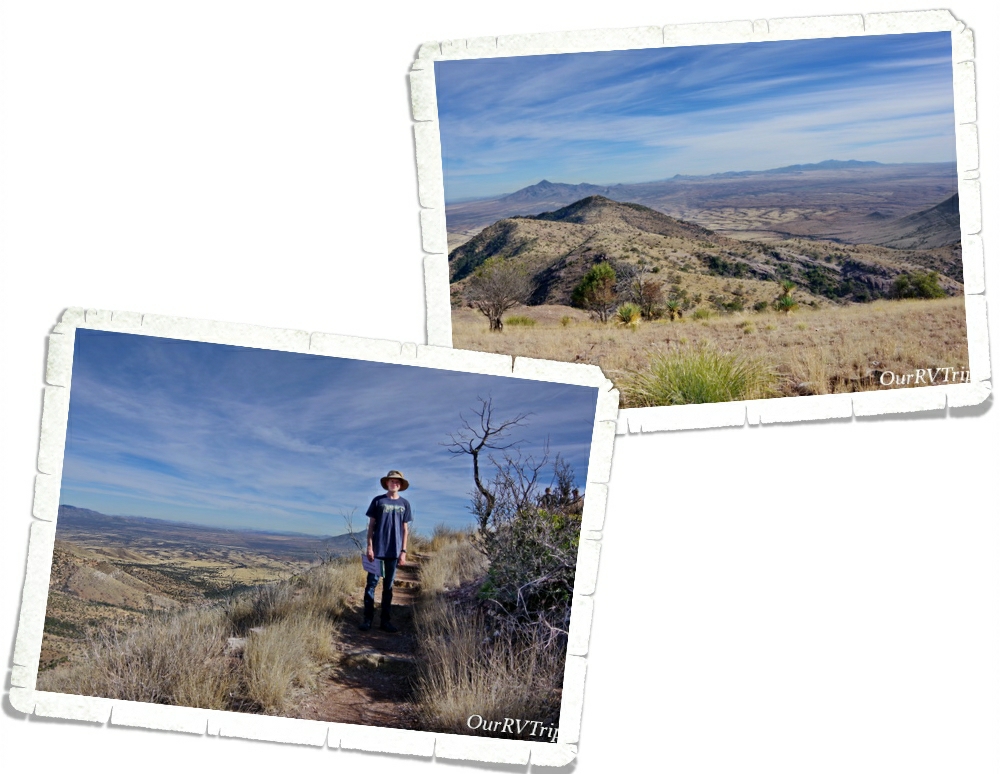
Coronado National Memorial was originally designated Coronado International Memorial when the United States came to an agreement with Mexico as a sign of goodwill and cooperation. Mexico never developed their side of the park though so in 1952 Congress changed the designation to Coronado National Memorial. In the above left picture, you can see the border between the US and Mexico. It looks like a long dark line.

We hiked the Coronado Peak Trail while we were there. It starts at Montezuma Pass and takes you up 300 feet to Coronado Peak. It was a quick easy hike that gave us some breathtaking views of Sonora, Mexico right across the border.

Coronado National Memorial commemorates the 1540 expedition of Francisco Vásquez de Coronado as the first known Europeans to visit the United States. Coronado’s expedition consisted of around 300 Europeans, several Franciscan priests, well over 1,000 Aztec/Mexica allies and “scores of servants and enslaved peoples” along with as many as 6,000 head of livestock (cattle and sheep) and supplies. The main purpose of this Memorial is to interpret Coronado’s two year expedition to find the fabled Seven Cities of Cibola and explore unknown territories.

Coronado thought he was going to find cities laden with gold and priceless jewels. What he found when he finally reached his first Zuni Pueblo was a farming community. He eventually made it all the way up to what is known today as Salina, Kansas before he gave up and went back to Mexico. The tribe that was helping him thought he was looking for bison so they took him to Kansas where there were thousands of bison.

Coronado’s dreams of fame and fortune disappeared with his failure to fine the Seven Cities of Cibola. He died ten years after his return in relative obscurity. His expedition failed, but actually, his two year exploration was like a pebble in a pond setting ripples into motion. Not only did he change the Native Tribe’s religion by their interactions with the Franciscan priests, Coronado’s expedition opened the door for Spanish explorers and missionaries to start colonizing the Southwest.

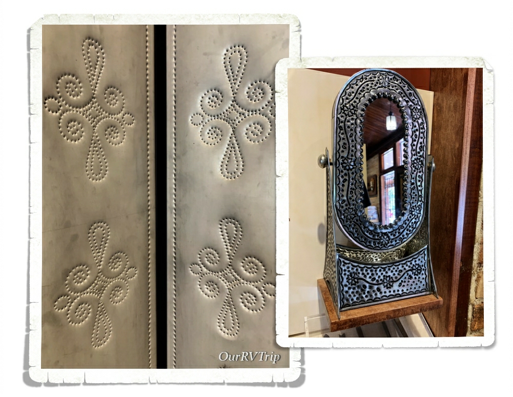
The Spanish brought with them the technique of decorating tin with small holes that will allow light to shine through. Punched tin is still a common decoration of the American Southwest and is still being produced in both Mexico and the Southwest.

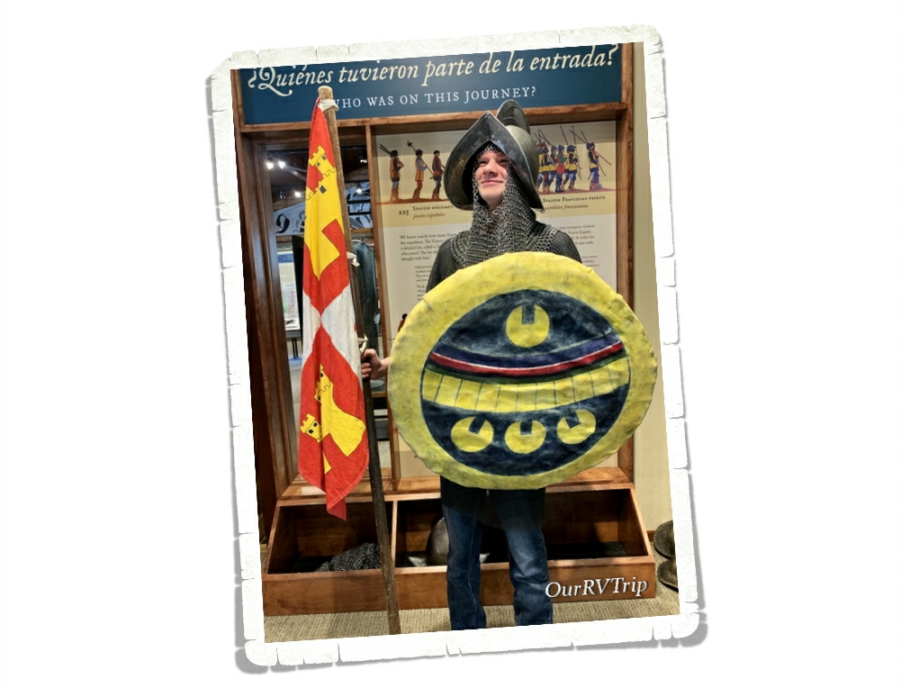
Well Guys, I think I’m going to pause here and finish up in the next post so stay tuned! I’ll leave you with a picture of Nicholas dressed up and being a bit silly at the Coronado National Monument Visitor Center.

See y’all down the road!

#NationalParkTour