Death Valley National Park
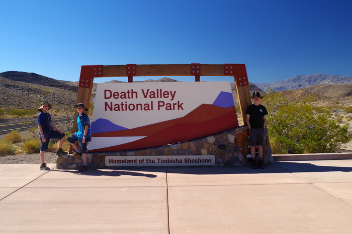
Hottest, Driest, Lowest…Welcome to Death Valley National Park! Situated on the California/Nevada border, Death Valley is known for it’s extremes and oddities. We spent one whole day and four partial days exploring DVNP. Near mile marker 10 as you drive into DVNP from Beatty, NV you get to experience what they call Hell’s Gate. You can roll down your windows and stick your hand out the window and feel the temp outside raise by 10 to 20 degrees within a 3 mile stretch of road.
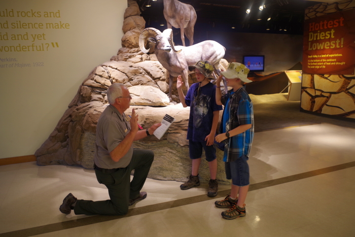
We like to stop at the Visitor Center first to get up-to-date info on the park. While we were there the little boys took the opportunity to grab another Junior Ranger Badge. We were lucky they were still doing the summer program and they were able to fulfill all the requirements in the air conditioned center.
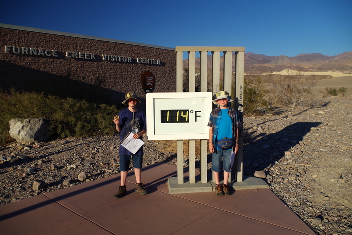
Outside the Furnace Creek Visitor Center was a tad bit hot. Just a bit.
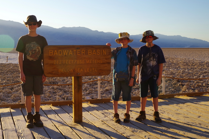
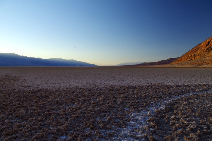
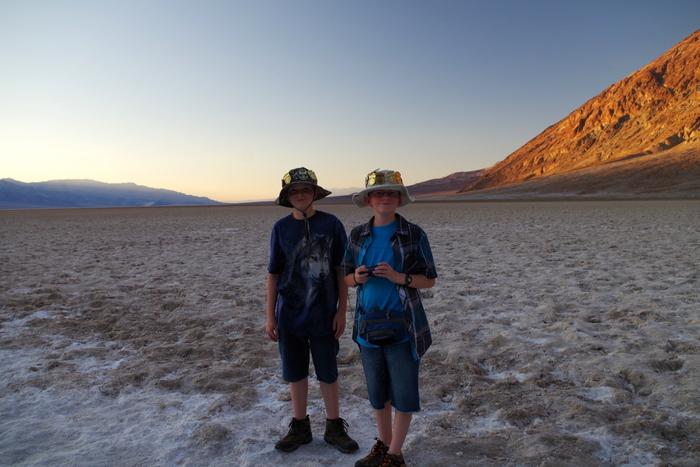
We visited Badwater Basin and stood 282 feet below sea level.
Badwater expands clear across the valley floor to the base of the Panamint Range. It’s quite something to stand out there and see the seemingly endless salt flats stretch out all around you.
We got to Badwater just before sunset and we watched as the sun dipped below the mountains. The heat in the valley instantly felt cooler. It’s quite something to look up into the Amargosa Mountains and see a “Sea Level” sign a few hundred feet above the ground.
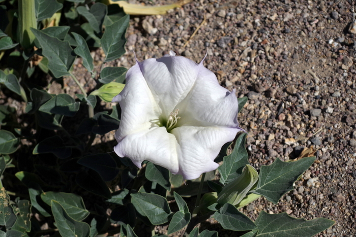
Can you believe I even found flowers in the desert? They were gorgeous and something I’d never seen before. I probably took a dozen pictures of the same cluster of flowers.
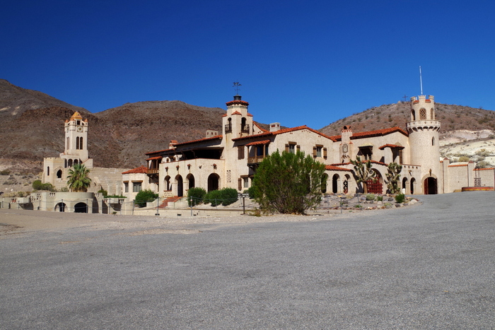
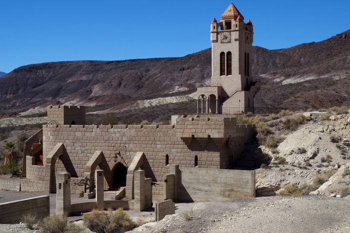
Day two started with a castle. Scotty’s Castle. Walter Scott was a popular entertainer in Buffalo Bill’s “Wild West” show before he became known as Death Valley Scotty. He told tall tales of gold, took peoples money, then he spent it all on everything but mining for the promised gold. One of Scotty’s investors, Albert Johnson, found out about the dupe. Instead of being mad Johnson became friends with Scotty and even built the castle you see in the pic above in DVNP where Scotty was a regular visitor.
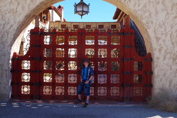
There are tours you can take of the inside, but we didn’t. We spent about an hour just roaming around the grounds.
Scotty’s Castle is unlike anything we’d seen. It seemed to fit perfectly with the desert it was built in.
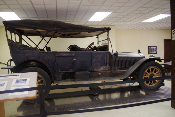
In the visitor center at Scotty’s Castle, you can see a 1914 Packard seven passenger touring car. This is the way people used to get around DVNP.
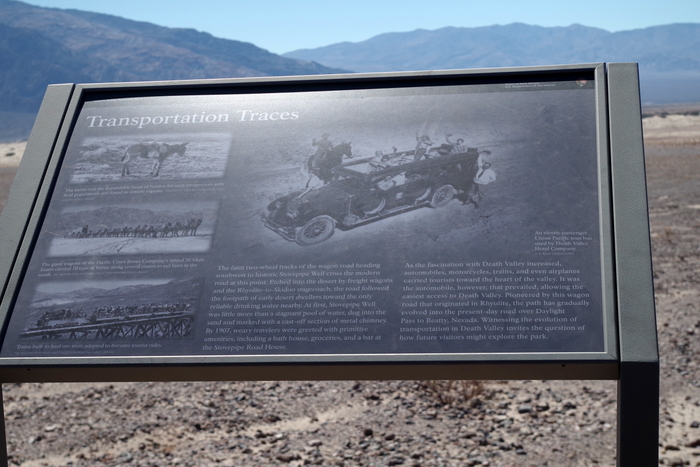
Down the road, you can even see faint tracks left from the tour cars. If you look just under the sign in the photo above, you’ll see two tracks left over from a tour car.
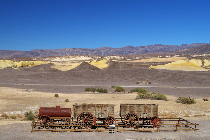
The Harmony Borax Interpretive Trail was short and hot. It told of life in DV for the borax miners and the twenty mule teams they used to pull carts around.
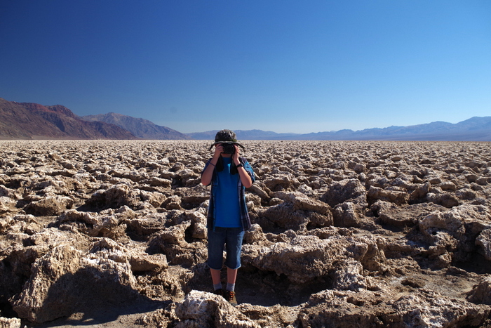
After a quick picnic, we made it to The Devil’s Golf Course. Littlest thought he was being funny, taking a picture of me as I took a picture of him. At The Devil’s Golf Course, crystallized minerals reacting with groundwater have lifted themselves into tightly packed ridges reaching up to two feet high.
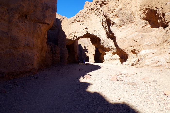
We walked the quarter mile trail to Natural Bridge. It was late afternoon and temps were soaring. We tried to stay in the shade as much as possible. As hot as it was in the sun (we could feel the sting of the sun on our skin), it wasn’t too bad in the shade.
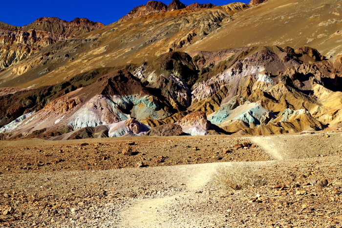
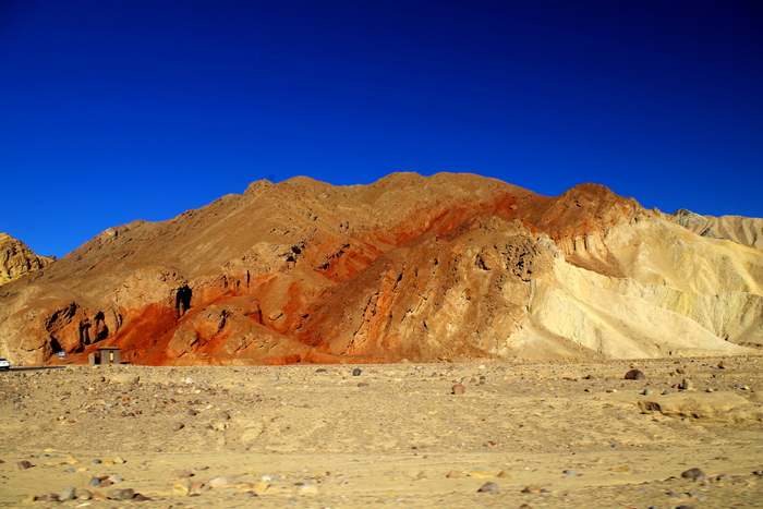
Artist’s Drive is one of my favorites in DVNP. We actually drove it twice because the first time was just after the sun set and we wanted to see the color in full sun. You can see Artist’s Pallet in the photo above.
The colors of the desert were amazingly vivid. I took more pictures than I will ever need.
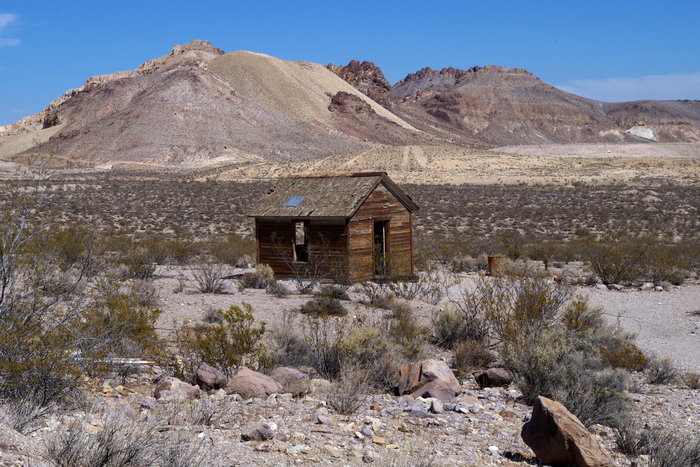
We had the chance to explore not one but two ghost towns! The easiest to get to was Rhyolite. You can see one of the abandoned houses in the photo above.
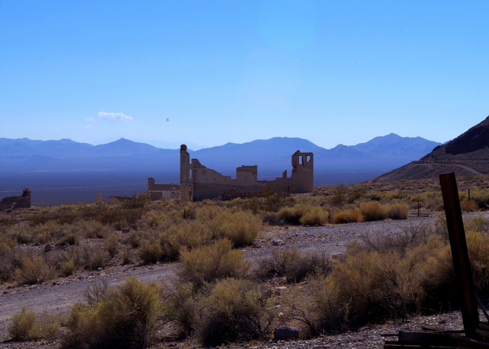
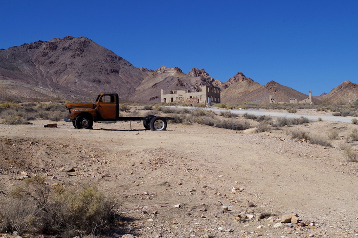
We walked past several crumbling buildings.
It’s kind of sad, really. To think of the families that used to live there and the hardships they must have gone through. Several buildings from Rhyolite were moved to the nearby town of Beatty.
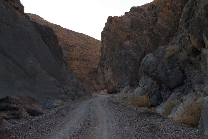
We spent almost four hours navigating the Titus Canyon drive. It’s a one way 26.8 mile dirt road that winds it’s way through the Grapevine Mountains, past a ghost town, and through Titus Canyon.
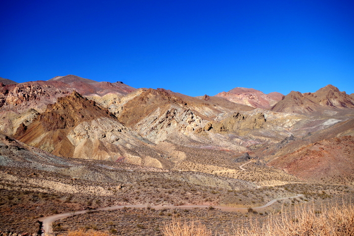
The vistas were simply amazing. You can see our winding road in the pic above.
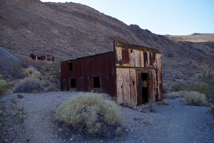
The second ghost town was called Leadville. 300 people lived here between August 1926 and February 1927. There’s a spot you can pull of the road and walk around the ruins. We wandered around for a bit and headed on down the road. We were racing the sun. I didn’t want to be on the narrow dirt road in the dark.
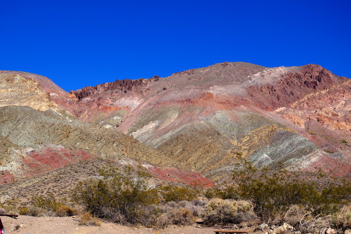
Here’s another shot of the wonderful colors of the desert. We’d just left Leadville when we came upon this sight.
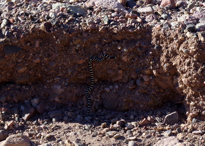
We spotted our first snake. It was small and fast as it slithered it’s way across the road and up the side.
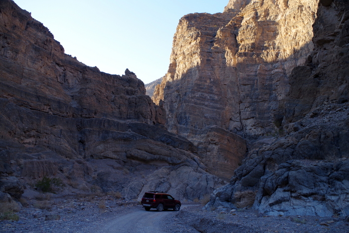
Titus Canyon with it’s limestone cliffs.
We could try to tell you how tall the canyon walls are…but you know what they say…”a picture’s worth a thousand words”. The last 1.5 miles of the canyon are pretty narrow, in some places the walls are less than 20 feet apart.
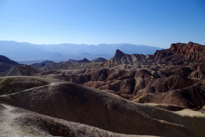
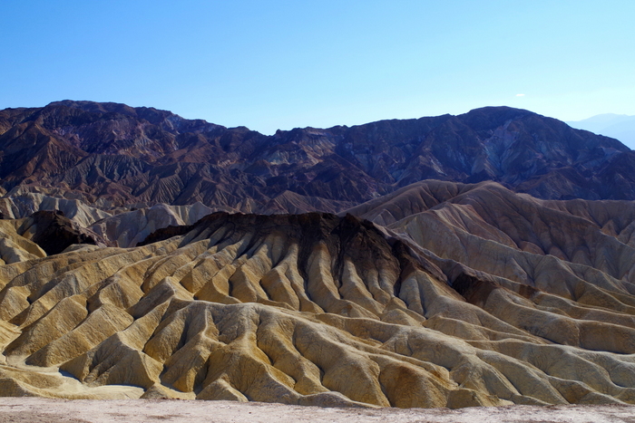
On our last afternoon we headed to Zabriskie Point. There’s a short walk up a paved path to get to the view.
The point was nice…but this two tone formation was more interesting to me.
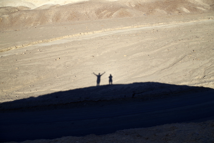
We drove through Twenty Mule Team Canyon on another dirt road. It was short and we took the time to climb up on a small rock to play with shadows. The boys thought it was too hot to get out so they waited in the car…I think they’d had all of DVNP that they could handle.
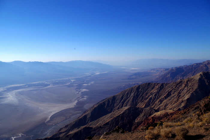
Our last stop in DVNP was atop Dante’s View. You can see Badwater Basin in all its glory.
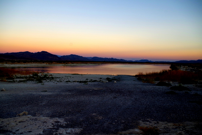
On our ride back to the RV one evening, we stopped at Ash Meadows for a super quick drive through. Ash Meadows is a National Wildlife Refuge that covers over 23,000 acres of spring-fed wetlands in the middle of a desert.
We were losing light fast so we didn’t get to see much, but what we saw was really pretty.
See y’all down the road!
