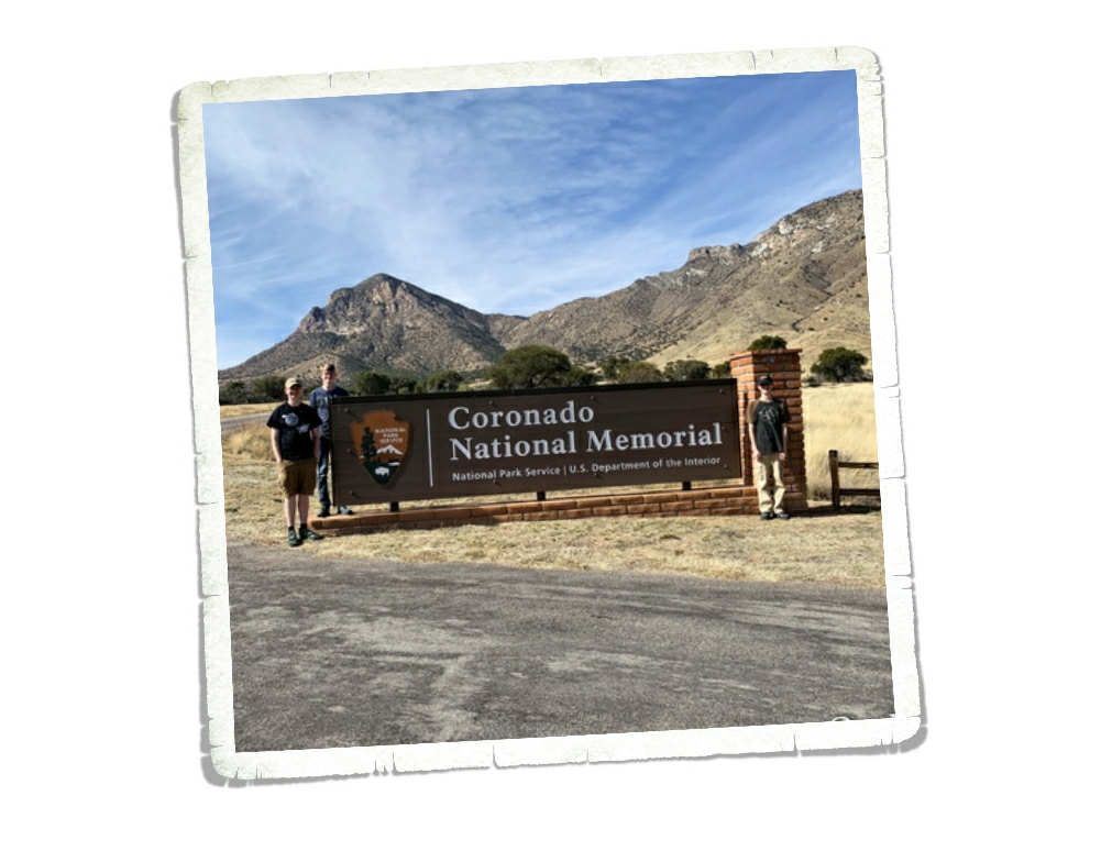
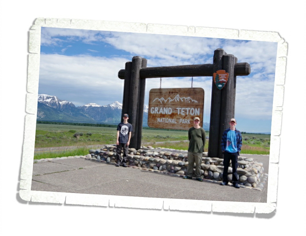
Grand Teton National Park
Hey Guys!! We spent five days in the Wilson, WY area so we could explore Grand Teton National Park. If you can believe it…we actually took a vacation. Zero work was done. It’s a shocker…I know.
We haven’t taken an actual vacation in…well…I honestly can’t remember the last true vacation we’ve had. It was kind of weird and oddly exhausting all at the same time. Who knew vacations were so tiring? By the end of it…we were all ready to get back to our normal nomad routine.
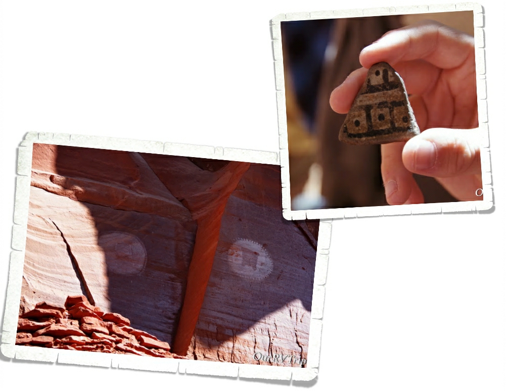
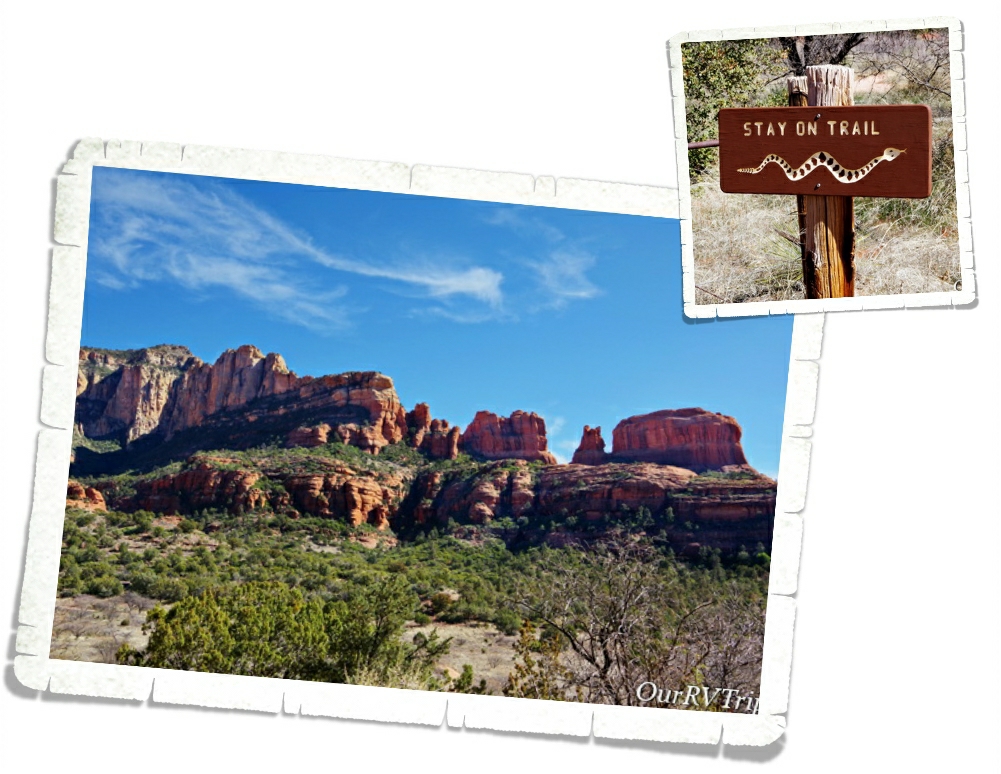
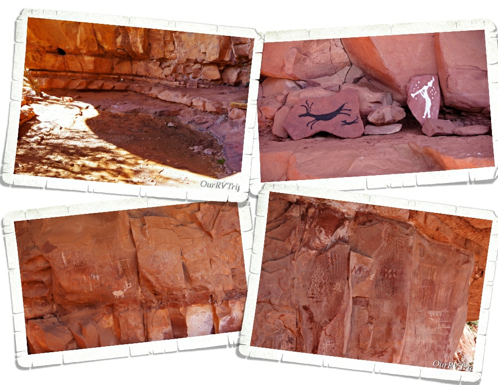
Grand Teton National Park was formed in 1929 to protect the forty mile long Teton Range, but it actually protects closer to 310,000 acres. People have been coming to the Tetons for more than 11,000 years. The first people to call this area home were nomadic tribes who would stay in the Teton area during the summer months to hunt and then move to a different area for the winter.
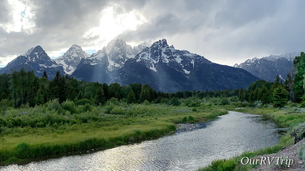
Our first day in the park was cold and rainy. The entire Teton Range was hidden behind clouds the whole day. I worried that our entire stay would end up a bust and we wouldn’t get to lay eyes on the mountains the park was formed to protect.
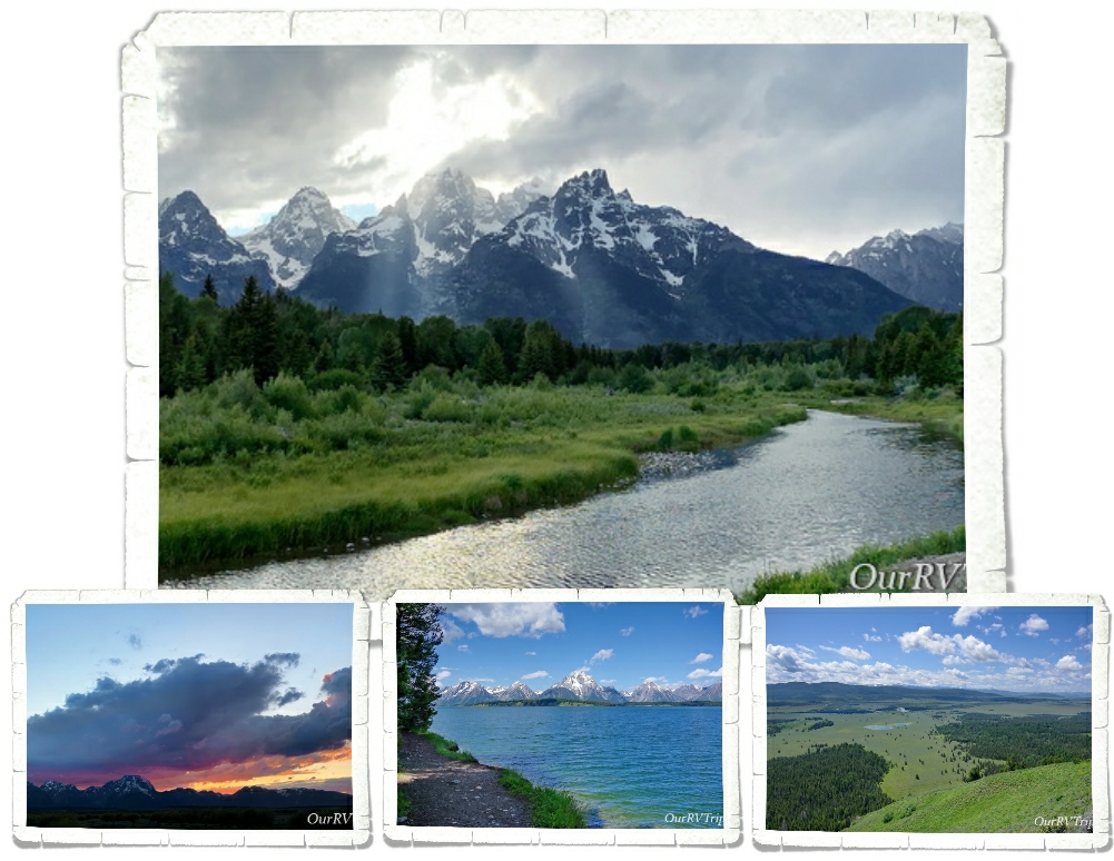
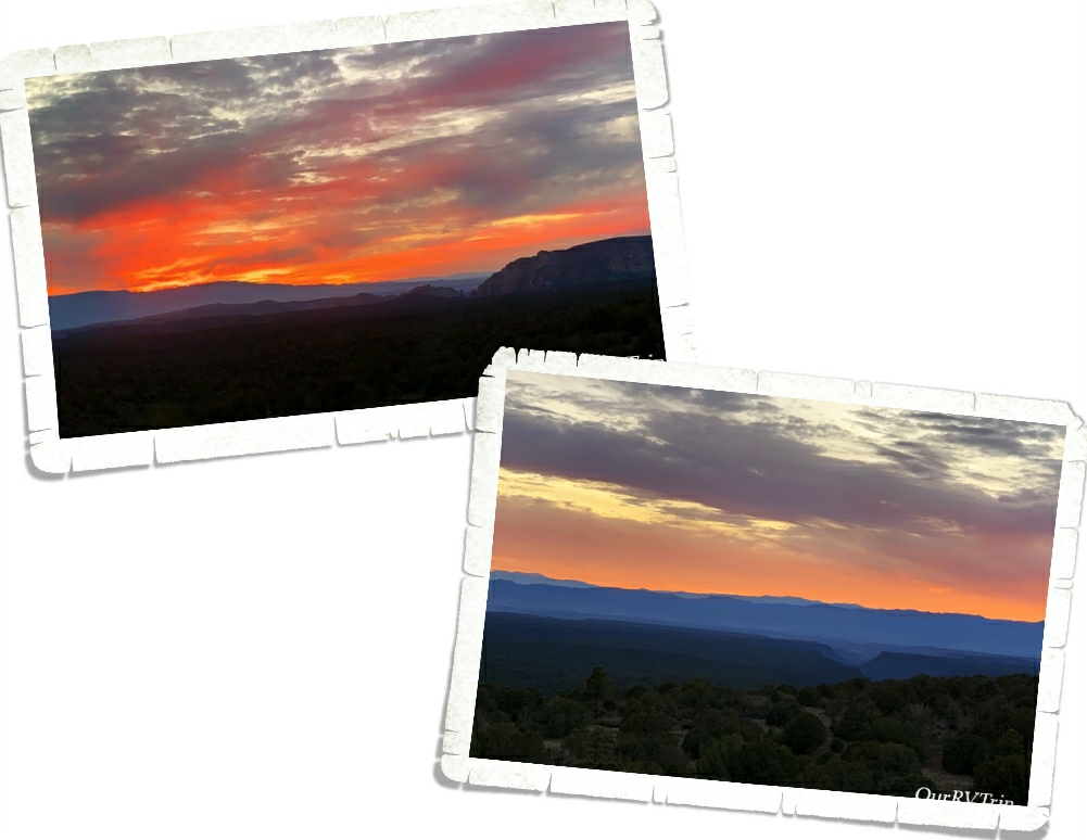
We explored the park anyway and made a game plan for the rest of our time there. We also saw a pretty spectacular sunset that first night as the clouds finally started to move out.
In 1807 John Colter, a member of the Lewis and Clark expedition, became the first Caucasian to see the Teton Range. Over the next thirty years, Jackson became a profitable fur trapping area. Beavers were one of the biggest draws.
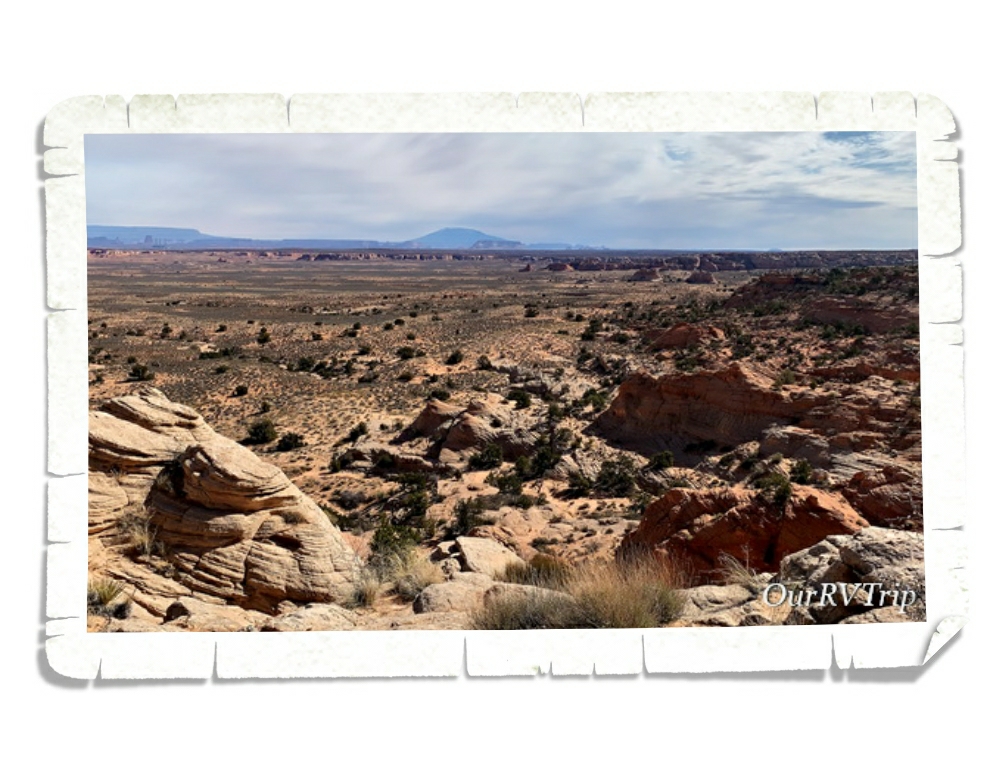
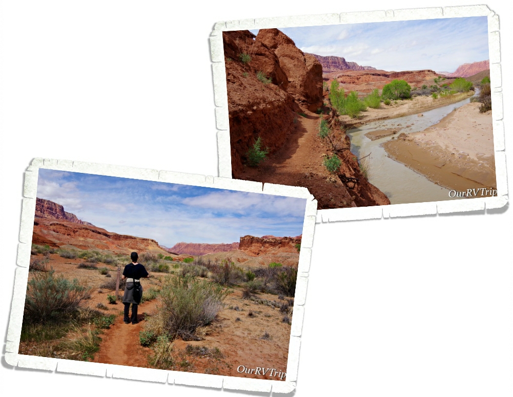
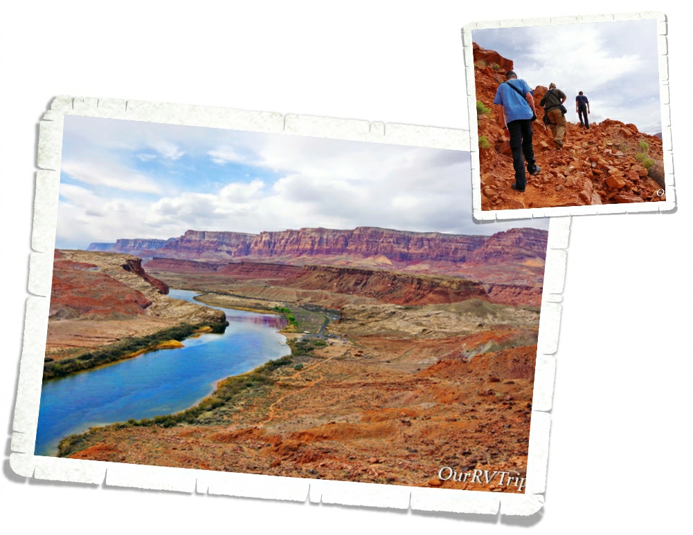
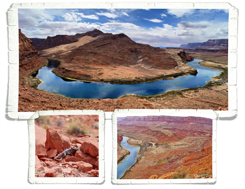
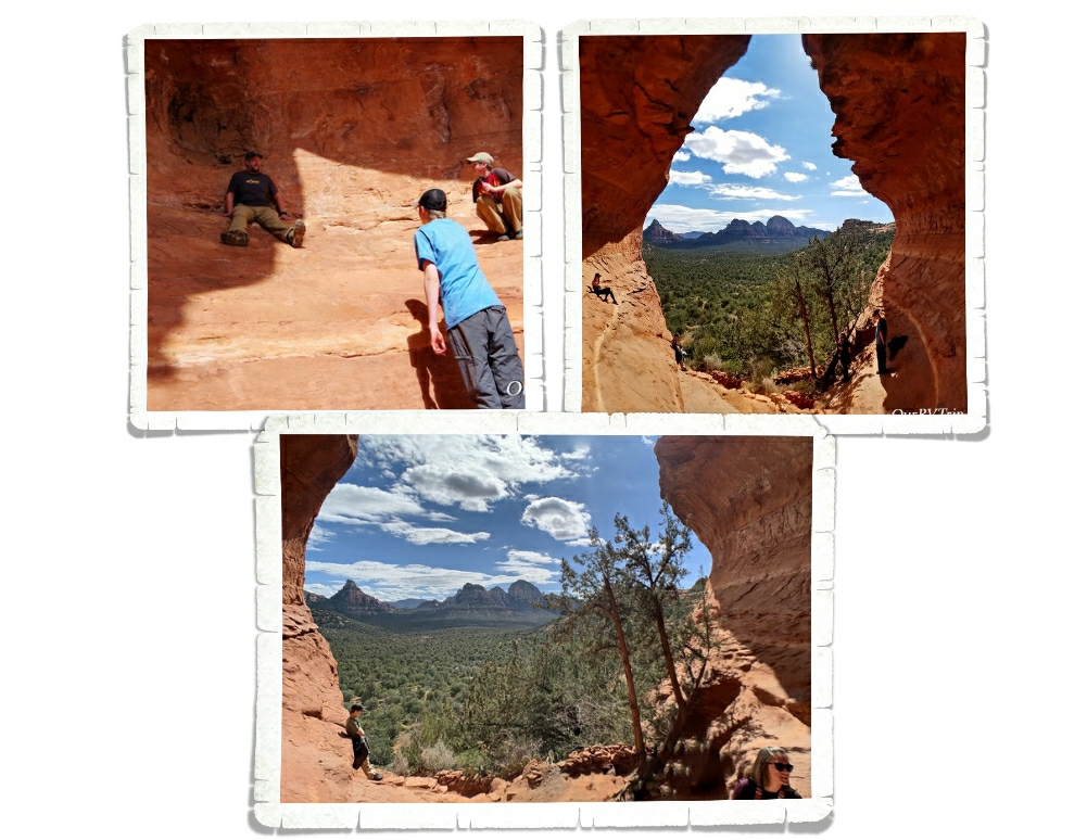
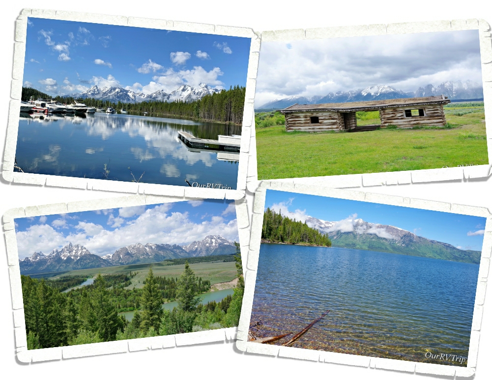
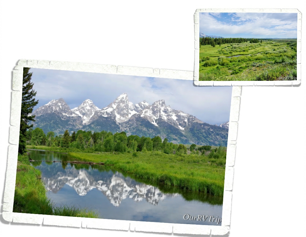
My favorite area of the park is the Schwabacher Landing and Blacktail Ponds area. Both give you access to the Snake River. At Schwabacher you can see a large beaver dam and if you’re lucky…some beavers and moose. We saw evidence, but not the actual animals. We did see a mama deer and her fawn one evening. When the wind is calm, you can catch the Teton Range reflection in water. At Blacktail Ponds you get a better view of the park’s wetland community. At one time, the Snake River flowed through this area with enough water that boats were able to launch. With the shifting of the river, it’s no longer viable to launch boats from this area. Blacktail Ponds is named for the blacktail deer that can be seen so frequently in this area.
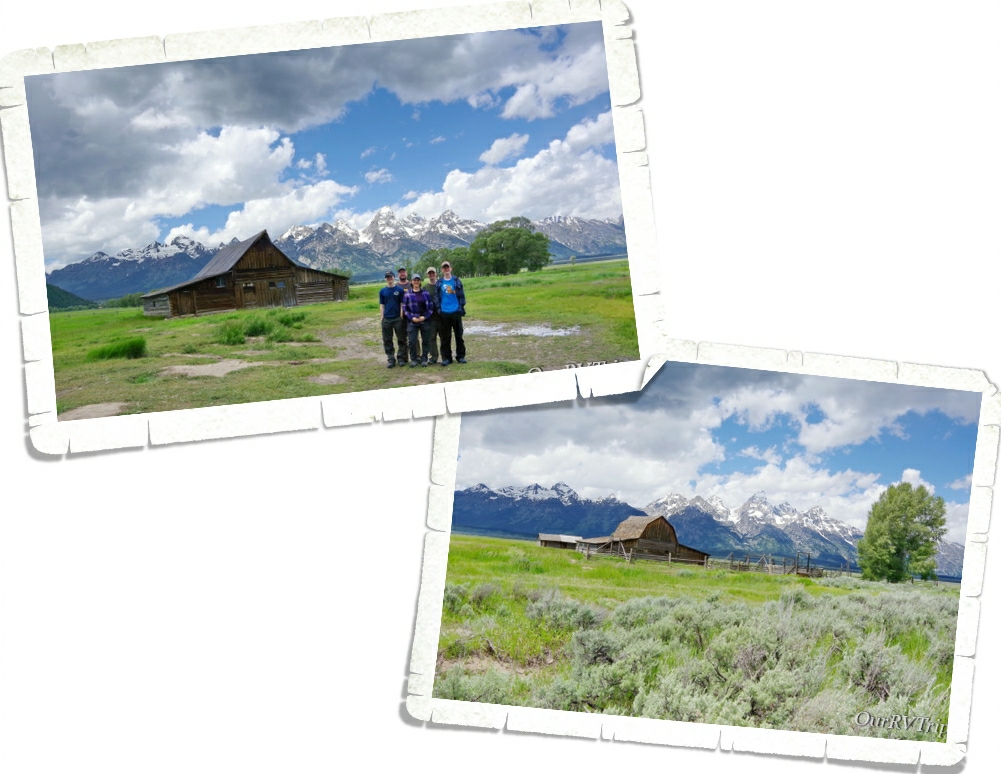
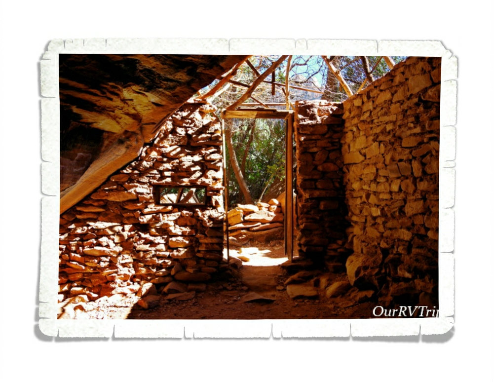
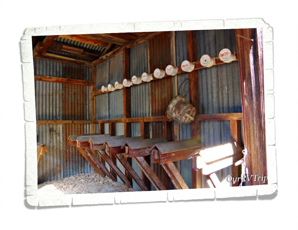
The Homestead Act of 1862 drew settlers to the area. The promise of 160 acres to any person willing to work the land for five years brought a vibrant community to what was originally known as Grovont, but is known today as Mormon Row. There are several settlements still standing today. We enjoyed exploring them and learning a little history about the first families to make the Teton Range area home.
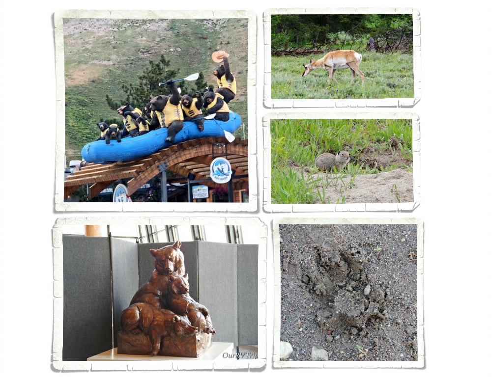
We tried so hard to see wildlife. One morning three of us got up and 4am and headed into the park with hopes of spotting some mama bears and cubs. We saw tons of pronghorn (you can’t go anywhere in Wyoming without seeing pronghorns), elk, deer, squirrels… We found a footprint of something one morning at Schwabacher Landing. We can’t agree on what it’s from though. The closest we came to seeing a bear…we saw a black bear’s hiney as it was making its way back into the forest and we saw the fur of a grizzly (We know it was a grizzly because the Ranger told us. We wouldn’t have known otherwise.) for maybe a half a second. I don’t have photos of either encounter to share with you.
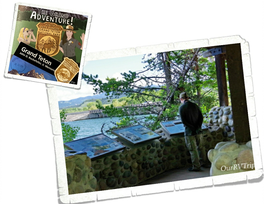
Alex wants to be a Ranger. He reads every sign we come across and devours the park map and newspaper for every drop of information he can get. He’s going to make an excellent Ranger one day.
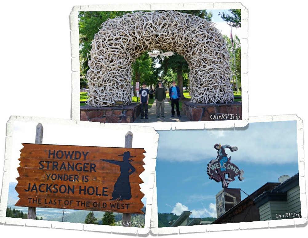
We stayed in Wilson, but the main town in the area is Jackson. We’d stocked up on food and groceries before we got there, but still went into town to check it out and see what we could see. It’s super touristy and reminds us of pretty much all of the other Ski Resort towns we’ve seen on our wanderings.
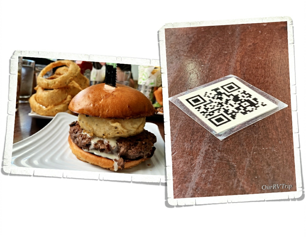
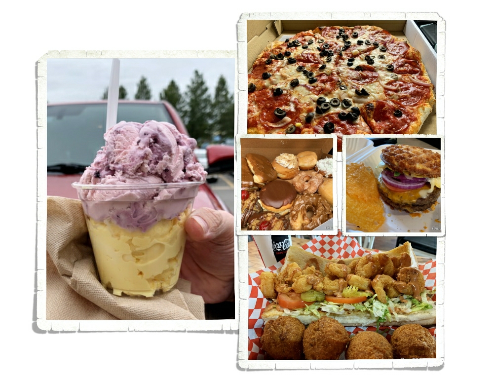
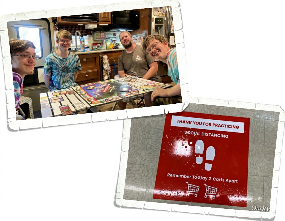
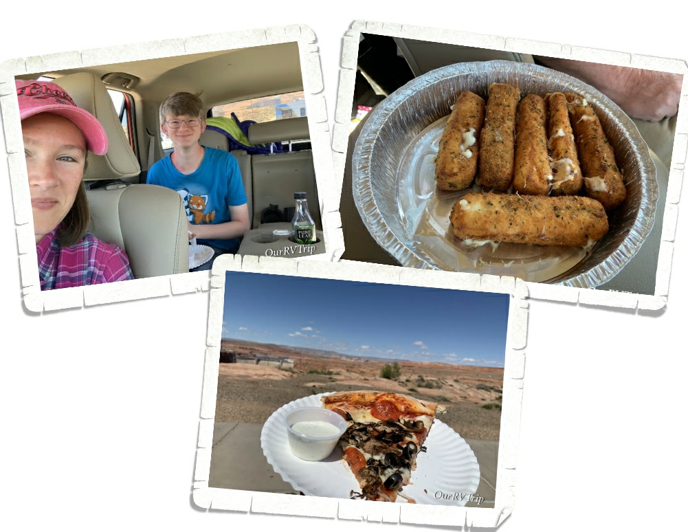
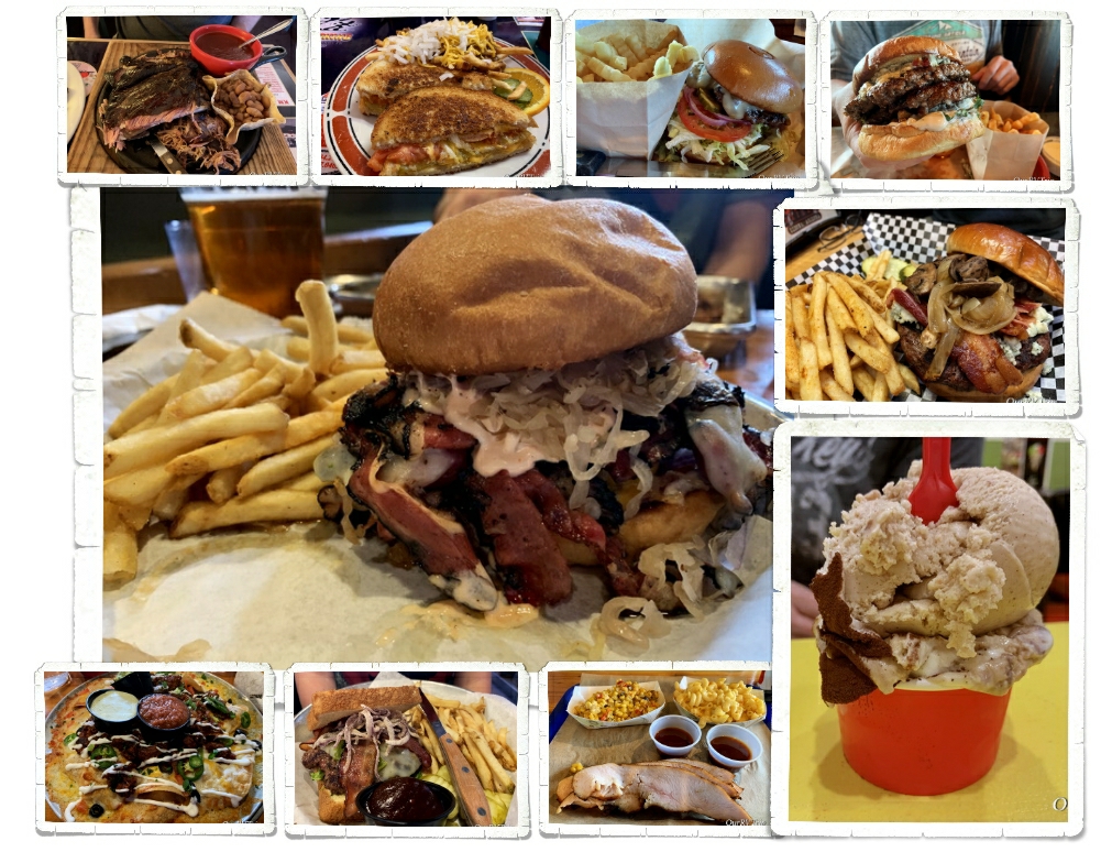
We did take one of the boys for a meal while we were there. See the little QR code in the picture? That was our menu. We had to scan it so we could bring the menu up on our phones. I actually liked this. It was one less thing for us to worry about having to touch and then eat. Our burgers were decent…mine was actually pretty good. It had an onion ring on it and they filled the onion ring with mushrooms.
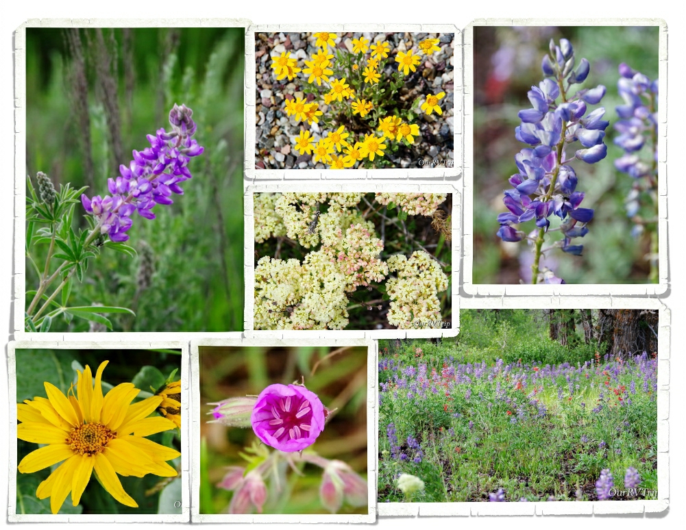
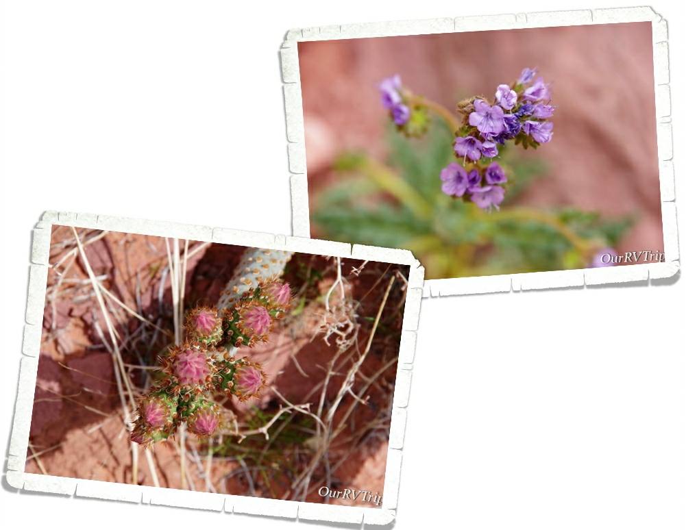
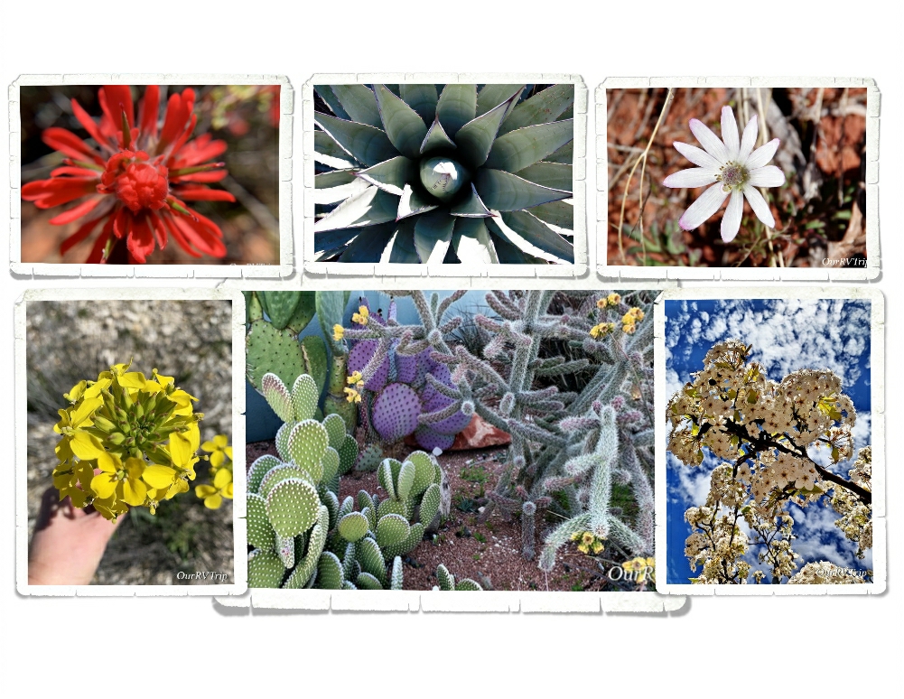
There were so many pretties! I was in flower heaven!! I’m not sure if I took more pictures of the mountain range or the pretties we found around it. 😉
If we ever go back to Grand Teton NP, we’ll have to figure out a better place to stay. The park we stayed in was horrible. Super tight spots, super muddy, and the hookups…were under the rig. Yup, we had to crawl under the RV to hookup and unhook our water and sewer. And Guys, this place was the most expensive place we’ve ever stayed in. It was bad. We heard pretty much everyone there complaining about it.
That’s it for this National Park Unit!! We had a great time in the park!
See y’all down the road!
#NationalParkTour